

Route type: Point A => Point B (need two cars)
Difficulty level: Moderate
Distance: 15.5 km
Waze to end point: Ramot Menashe cemetery (leave car)
Waze to start point (Ofer): 32.617236, 34.978532 (leave car)
Notes: Good for dogs, parts of this trail are not well-maintained or well-marked at all. Wear long pants to protect against thorns. The only place to fill drinking water is at the cemetery in Ramot Menashe (end point).
~~~~~~~~~~~~~~~~~~~~~~~~~~~~~~~~~~~~~~~~~~~~~~~~~~~~~~~~~~~~~~~~~~~~~~~~~~~~~~~~~~~~~~~~~~~~~~~~
Rumor has it that the Ramot Menashe Trail hasn’t been maintained since 2012 for some unknown reason which is unfortunate because its location – in the Carmel Mountains a bit north of Zichron Yakov, is lovely. The entire trail is 62.8 km long and seems to be easily split into day trips with convenient places to leave at the start and end point of each section.
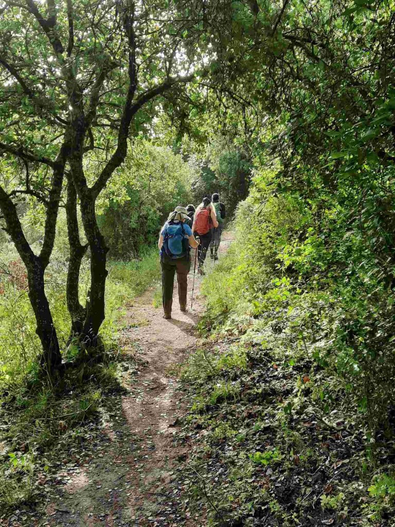
I was curious about this trail so I rounded up a few friends last Friday and gave the first 15.5 km of this trail a go, figuring whatever this trail threw at us, we’d deal. We set out at 7:30 am having gotten up at 4 am to get to the hike start point as early as possible.
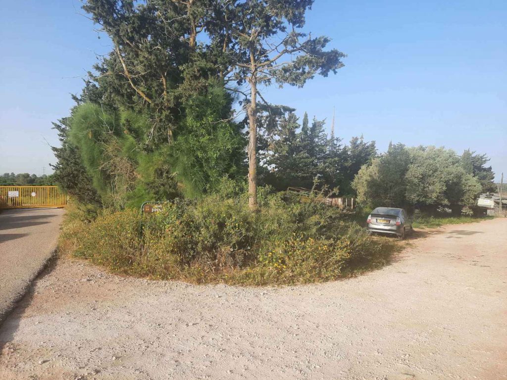
The trail starts just after this yellow gate. We left one car in the alcove on the right. To the left of the yellow gate there is a way around.
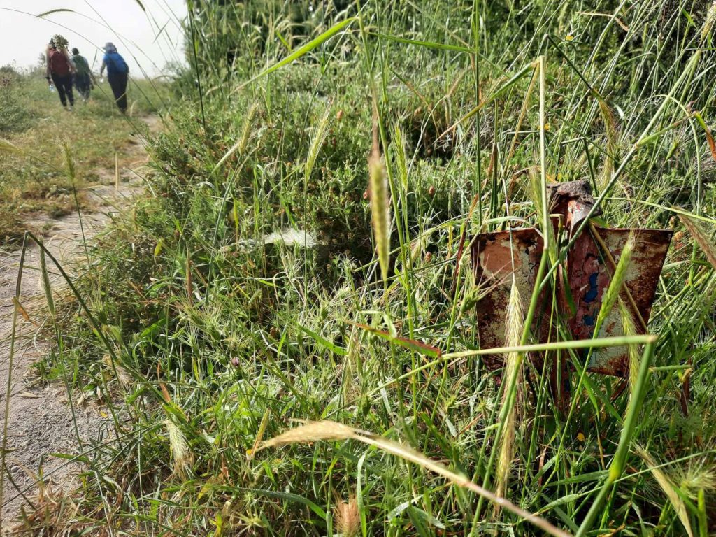
Trail markings were at times non-existent, in hard-to-spot locations or had clearly “died”, like this one.
It was hot. Very very hot. And hazy. I had checked the weather, which forecast “only” 28 degrees. Yeah. Well. 28 degrees with 150% humidity feels more like 3,000 degrees. Note to self.
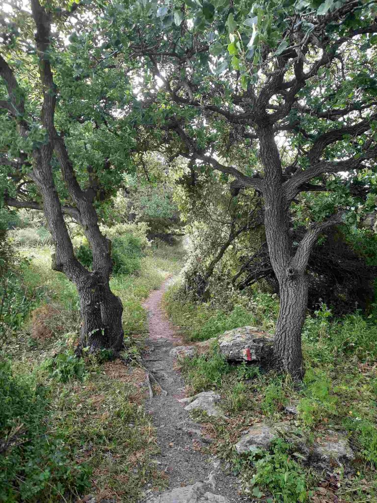
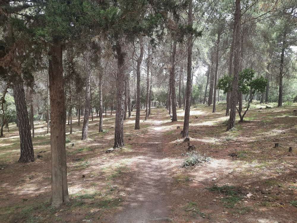
Much of the first half of this section was lovely and shady with enticing paths through the greenery.
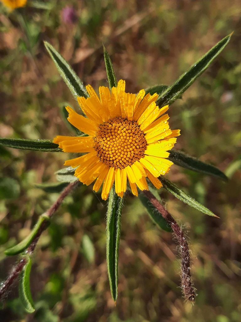
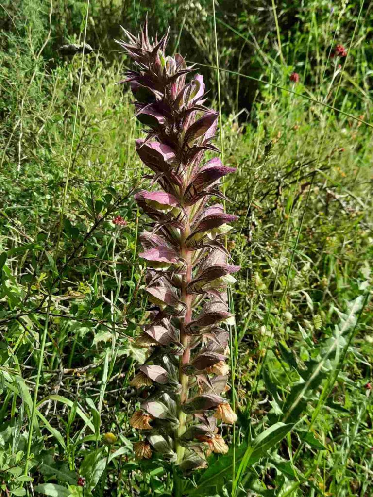
We saw this enormous flower in abundance. I wonder what it’s called and what it looks like in bloom.
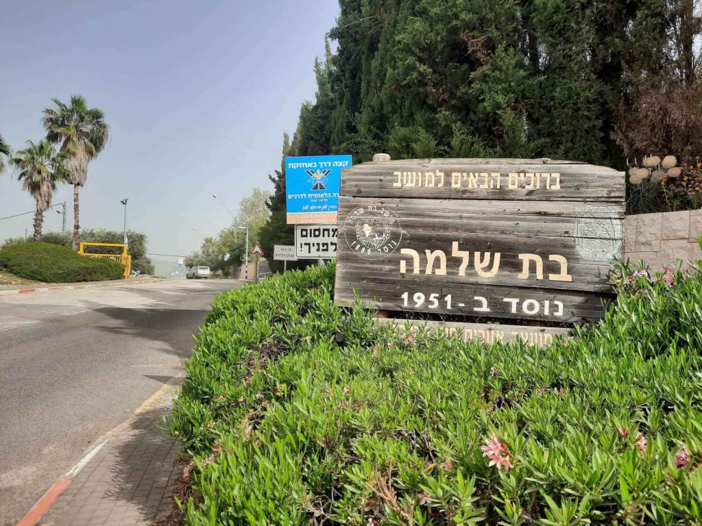
3.34 km after you set out from the start point in Ofer, you will come to the moshav of Bat Shlomo which was founded in 1951.
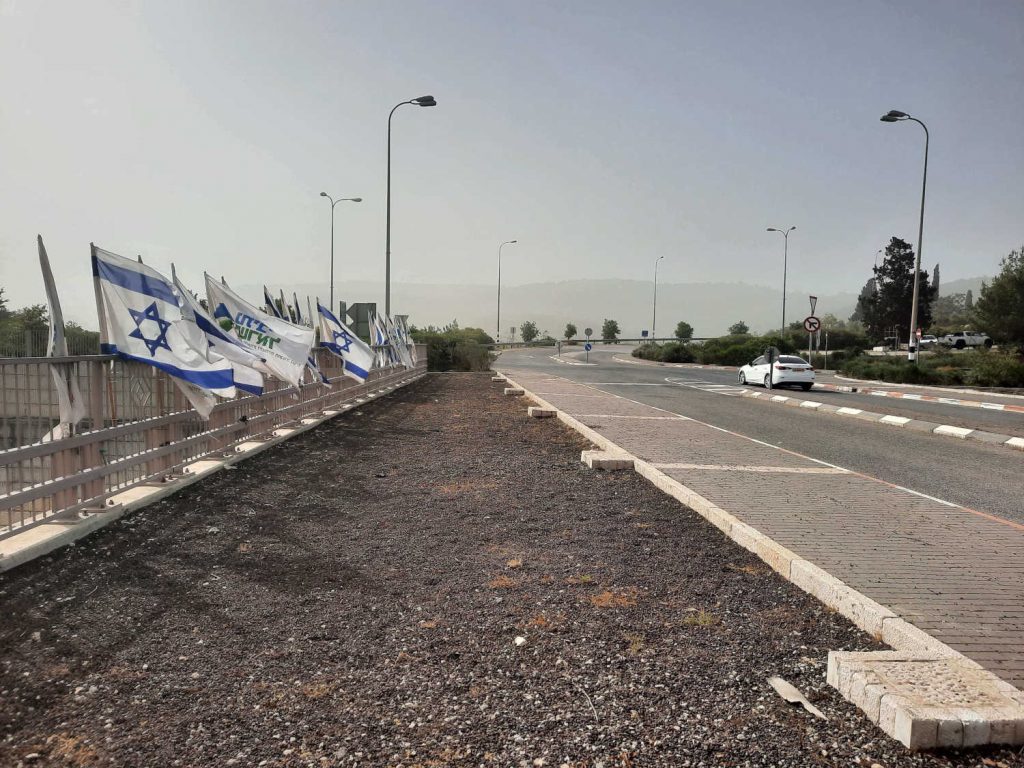
After you come through Bat Shlomo, you will cross over Highway 67. The bridge was festively decorated in preparation for Independence Day.
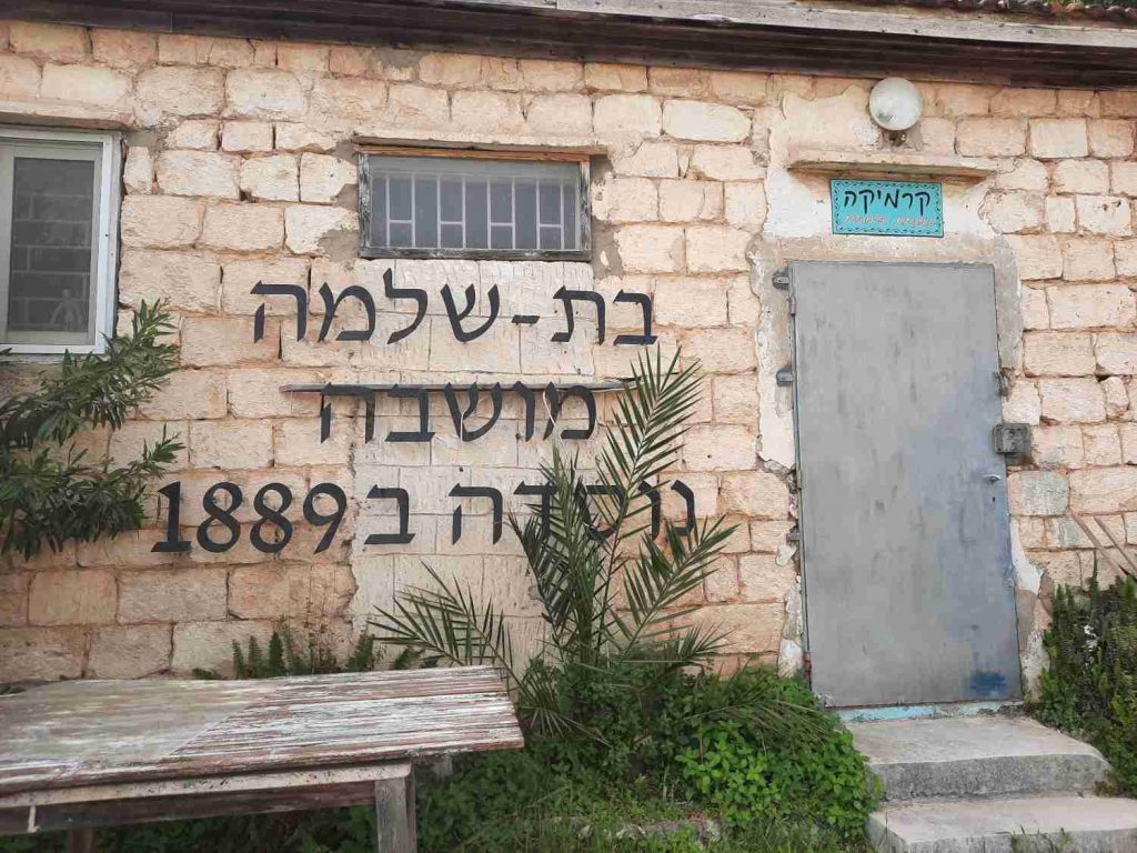
On the opposite side of Highway 67, you will find the moshava of Bat Shlomo which was founded in 1889. What’s the difference between a moshav and a moshava? Good question! I had to Google that one myself :-). A moshav is an Israeli town or settlement: a type of cooperative agricultural community of individual farms pioneered by the labour zionists while a moshava is an early Jewish agricultural settlement in pre-Israeli Palestine. This older 2nd half of Bat Shlomo is now an artists’ colony and this structure, which is clearly one of the original buildings of the moshava, is now a ceramics studio.
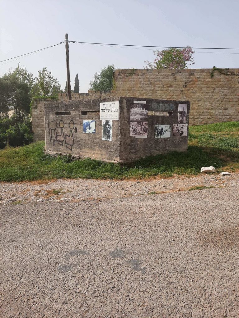
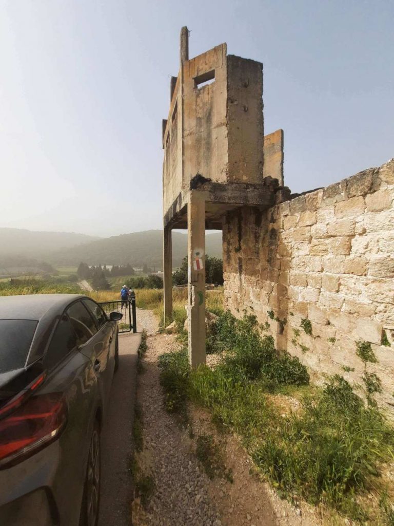
As you enter the moshava of Bat Shlomo, there is this unfinished structure. Upon closer inspection, there is a whole history lesson posted on the outside of it with photos from the early days of the moshava and the lives of its residents.
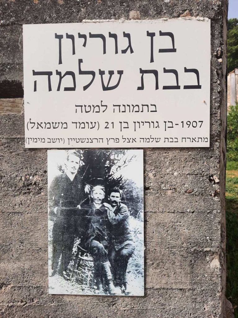
You know how in the US you will see signs that say “George Washington slept here”? Or words to that effect? Well, here we have the Israeli equivalent. The sign says “Ben Gurion in Bat Shlomo – 1907 a 21 year old Ben Gurion (standing at left) is hosted in Bat Shlomo by Perez Hertzenstein (seated at right)”. Ben Gurion was a primary national founder of the State of Israel and its first Prime Minister.
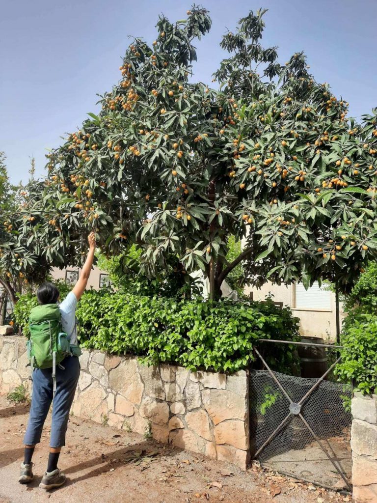
A beautiful shesek (loquat) tree absolutely LOADED with fruit in the yard of a home in Bat Shlomo.
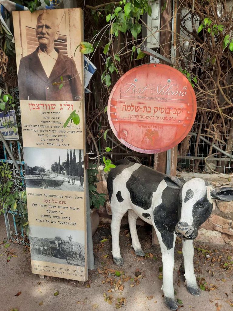
Who knew that there was a boutique winery in Bat Shlomo? And more pressingly, what does a cow have to do with wine?
Just before the trail exits the moshava of Bat Shlomo, you will see on your left a circular mini park of sorts with a seating area made out of nice paving stones, a tree or two and a nice view out over a little valley. All spotless and new. A lovely place to stop for a break and a bite to eat, you say? Well, yes but if you continue past this structure and the green barrier just another 50 yards or so……
…..and off the path to that large tree on the right, there is a bench under that tree and THAT is a perfect, cozy, secluded, cool, shady place for a break. You’d never see the bench from the path but trust me. There’s a bench. Highly recommended!
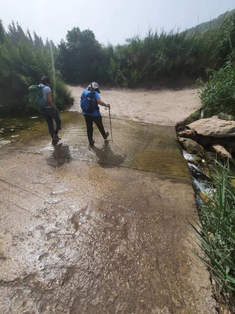
Water? Rilly?? I had NOT expected that on this hike. Very novel.
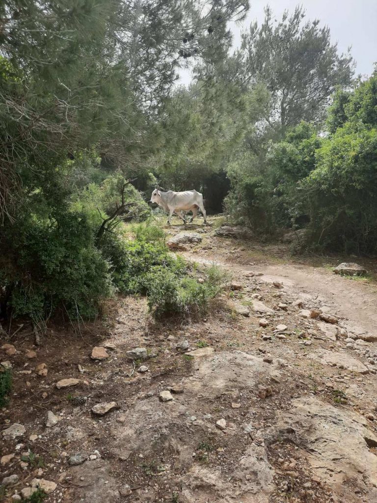
LOTS of cattle spotted on this hike! This one was massive. And looked like he/she needed a good, square meal.
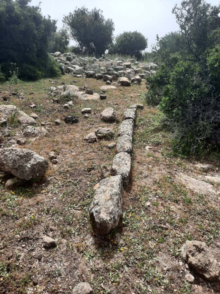
Those stones are clearly man-made. They are just too symmetrical to be natural. I wonder what might be uncovered here were they to do an archaeological dig.
Very Little Red Riding Hood.
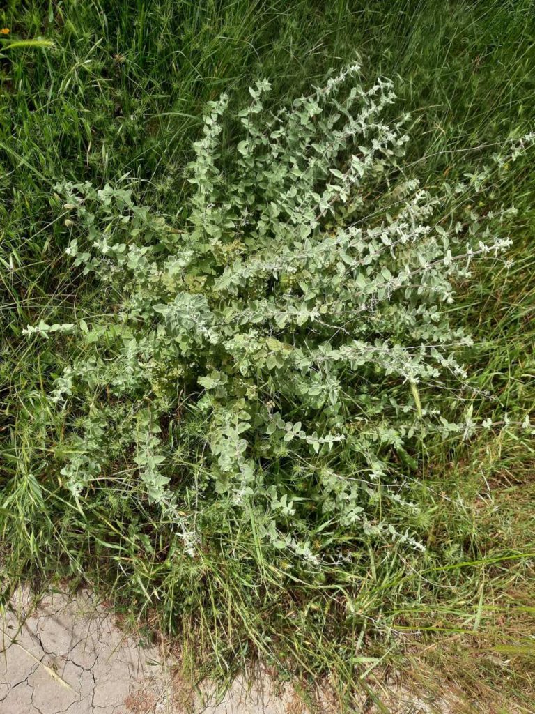
Wild zaatar (hyssop).
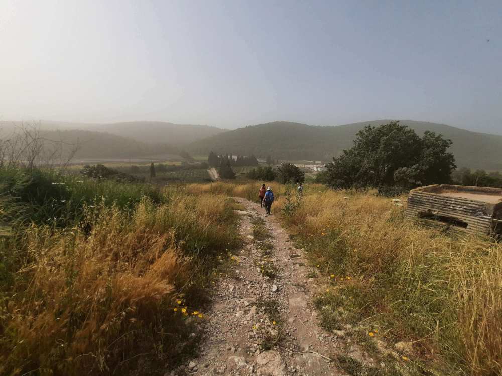
Do you see a path here? No, me neither. Thank God for the israelhiking map app which allowed us to see where the trail was supposed to be. I think (hope) it is still a tad early for snake season. But still. I do not like pushing through undergrowth or tall grasses and not being able to see where I’m putting my feet. I was going slowly, beating the ground ahead of me with my hiking poles to warn any slithery creatures of my approach. Just in case.
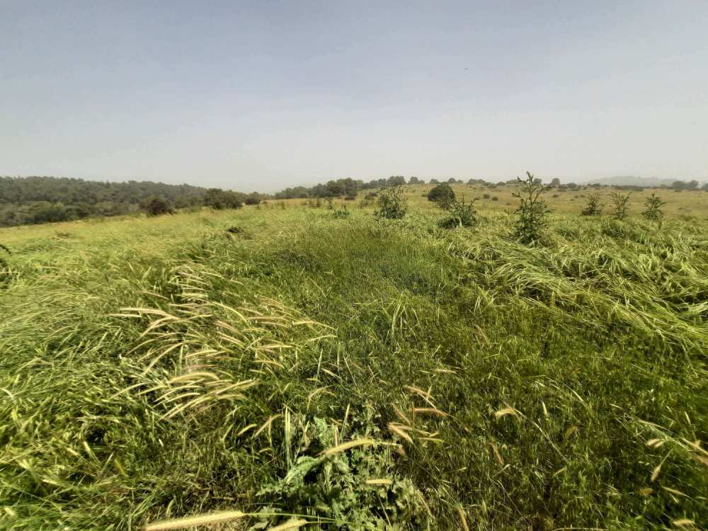
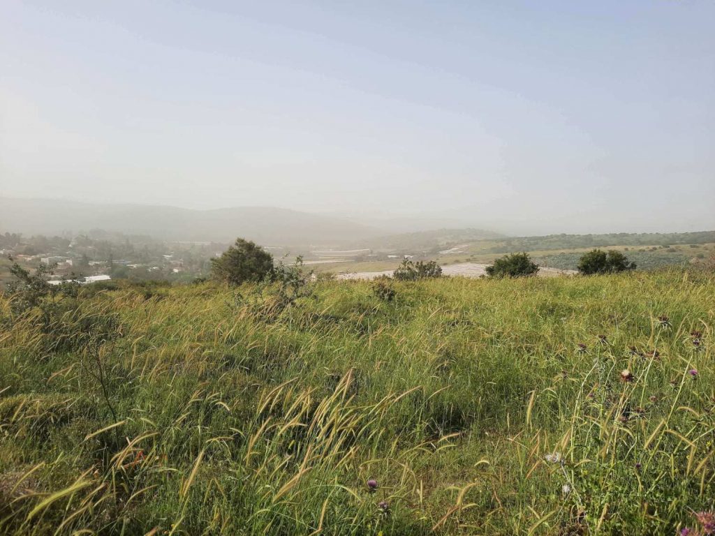
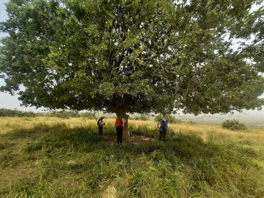
The 2nd half of this hike was rather exposed with next to no shade but we did find this lovely huge shade tree and took full advantage of what it offered. (Have I mentioned that it was HOT?? Actually, “heatwave” was the term used, I believe…..)
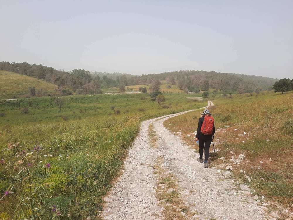
The home stretch.
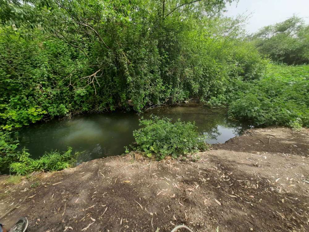
After passing this pool and making a right turn, we encountered……
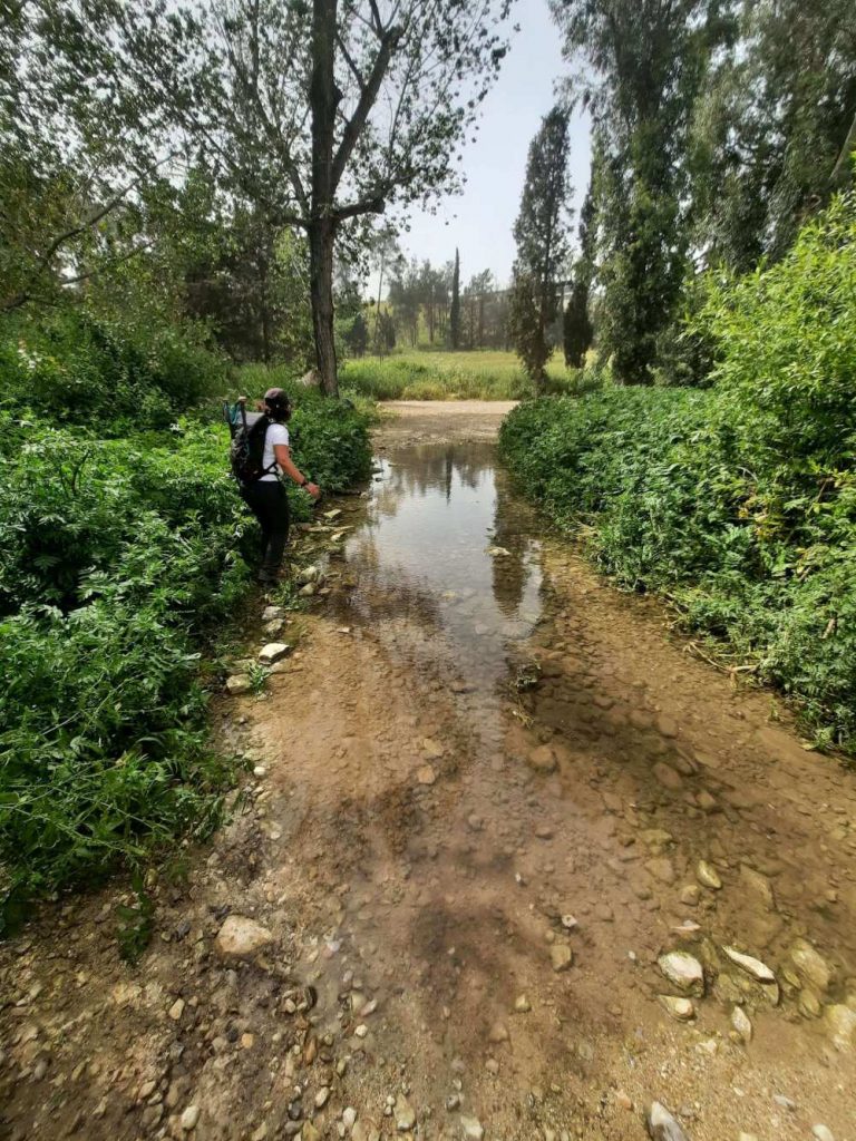
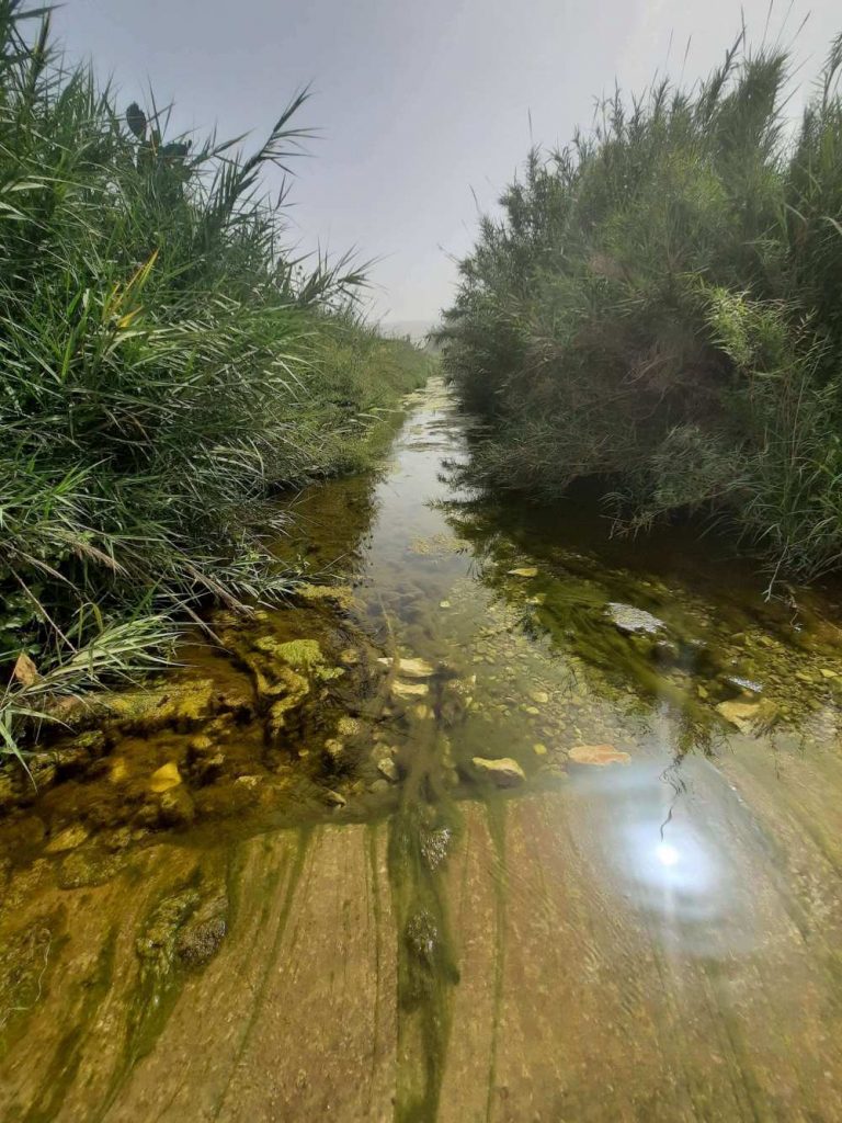
…..Ein Mecholelim. “Ein” in Hebrew means “spring” (of water). I was unsuccessful in determining the meaning of “mecholelim”. Google translate gave me “generators” but that can’t be right. So I remain clueless. Nevertheless, it was a charming green oasis with beautiful electric blue dragonflies flitting everywhere. A good place to dip hats/bandanas in the water to keep your head cool.
Stay tuned for Section 2 of this trail.