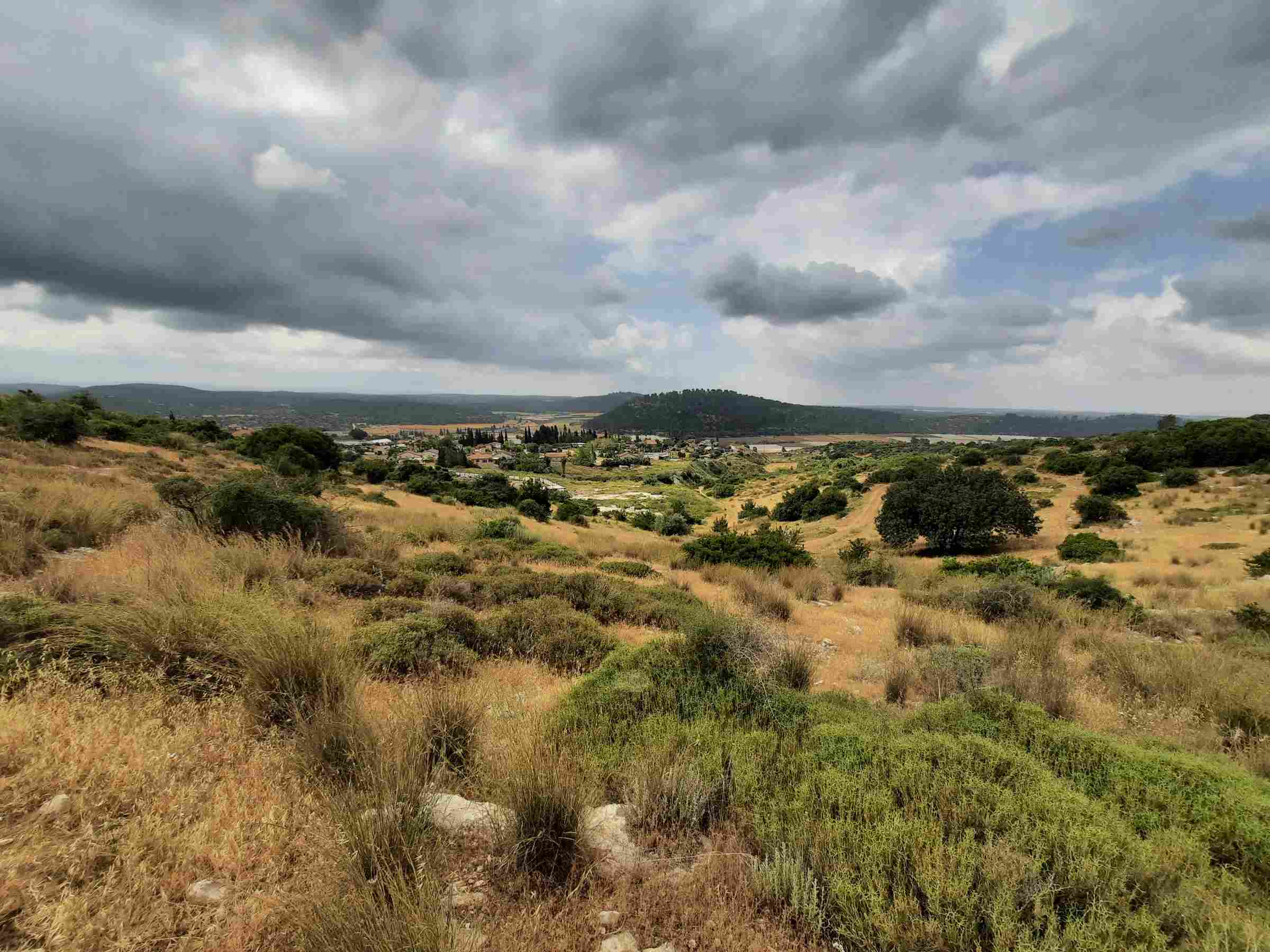
Route type: Circular
Difficulty level: Easy – ascents and descents were gradual
Waze to start point: 31.712432, 34.956835
Notes:
- Beat the heat and crowds by getting as early a start as possible!
- Recommend doing this on a cooler, cloudy day as parts of it were quite exposed with no shade.
- Good for dogs, kids who can walk.
- Easy to lengthen or shorten this hike by taking any number of alternative paths.
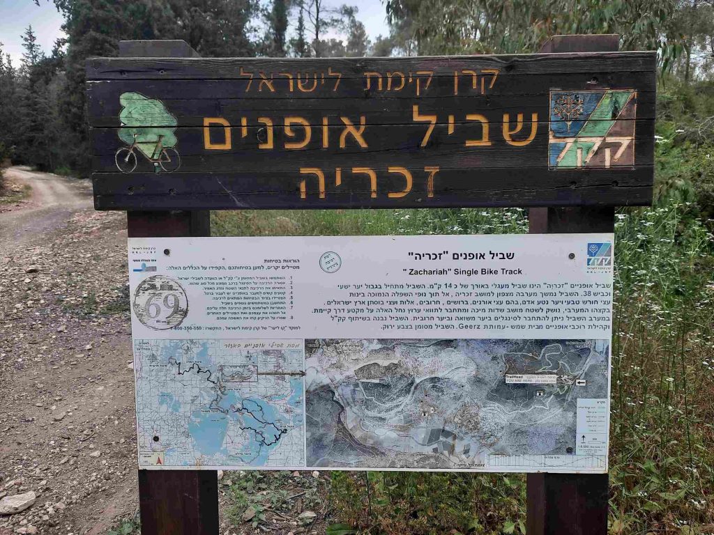
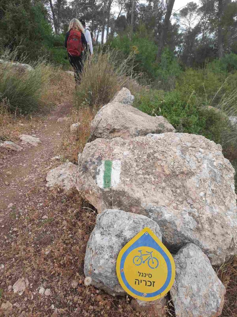
- Well-marked – trail is marked with green and white trail markings in addition to the yellow “Zechariya single” bike signage.
After checking that another heatwave was not in store for us, I asked who is “in” for a quick hike today. I had heard about this hike on another website and was looking for something not too far afield since it was the day after Independence Day and I wasn’t sure if the traffic home would be heavy or not. This hike is in the Beit Shemesh area and seemed to fit the bill. We left my house at 5:45 am and had parked and set out on this route by 6:35 am.
The day started out with threatening clouds and unusually nippy temperatures for May with a pleasantly chill wind. My nose and fingers were numb. It was even was “spitting” on us off and on for the first while but it did not turn into anything torrential.
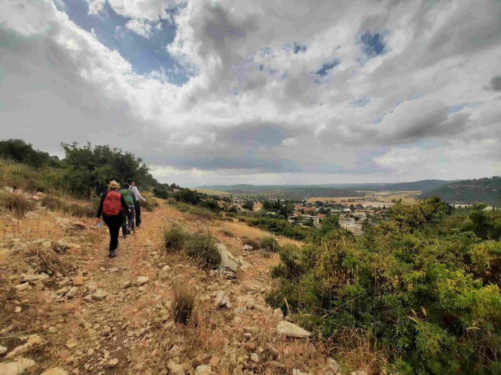
The path goes along Road 38 for the first 1.17 km so you do get traffic noise but after that the route turns away from the road and for the rest of the day all we heard was the birds and the wind in the pines which sounded like a raging river.
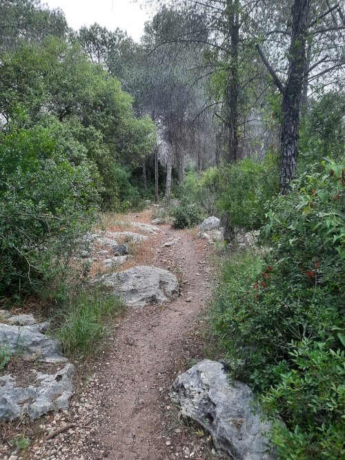
This entire route is called the Zechariya “single” bike track. I have always been perplexed as to why off road bike paths are called “singles”. but on this hike it occurred to me that they are called “singles” because they are only wide enough to ride or walk in single file? I don’t know. Just a hunch.
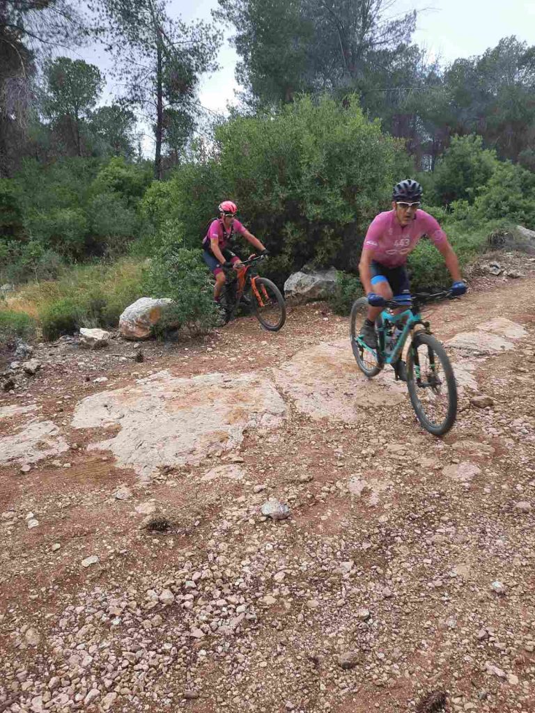
We encountered no other hikers, probably due to our early start. However this track was popular with mountain bikers and motor bikers. We kept having to leap out of the way to let them pass.
The path was well-marked with both the yellow bike path signs as well as the green and white trail markings.
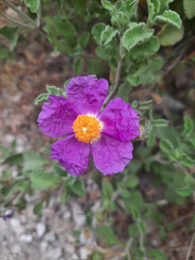
Even though it is late in the season, there were still a wide variety of flowers in bloom.
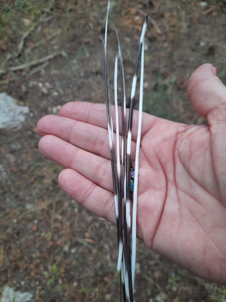
Nature’s treasures. I get a kick out of two things – flowers and wildlife. Wildlife we did not see apart from birds but we found evidence of porcupines.
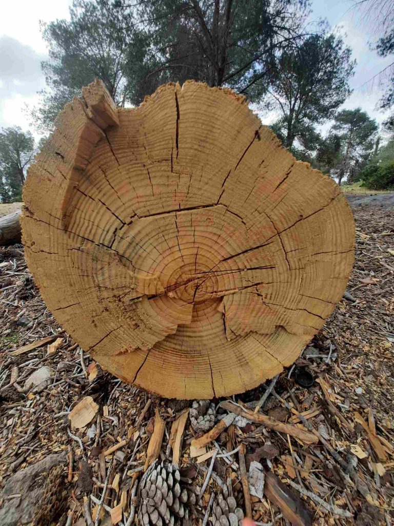
The beauty of the rings which are clearly visible on this tree struck me.
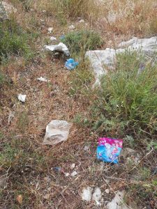
I suppose, being the day after Independence Day, it was inevitable that we would see garbage but still…..it is always a shock and it makes me sad and angry.
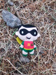
Sometimes you find the strangest things on the trails. A creepy doll…..

….or a dead balloon. At first I thought it was Olaf from the movie Frozen but the nose is wrong. Is it the Grinch?
Passing above Moshav Zechariya after whom this bike track is named. According to legend, the body of the prophet Zechariah was found here in 415 CE and a church and monastery were established. In 1950 Moshav Zekharia was established by Kurdish Jewish immigrants. In 2019 it had a population of 1,124.
The tomb of Zecharia, which has been attributed to both the Hebrew prophet Zecharia and Zechariah, father of John the Baptist, is located on the moshav. The site is mentioned in sources as early as the fourth century.
In the 1970s, there was a resurgence of Jewish interest in the site, which became a pilgrimage destination for Jews from Iraq, Iran, Cochin and elsewhere in India, and elsewhere, who prayed there and lit candles.
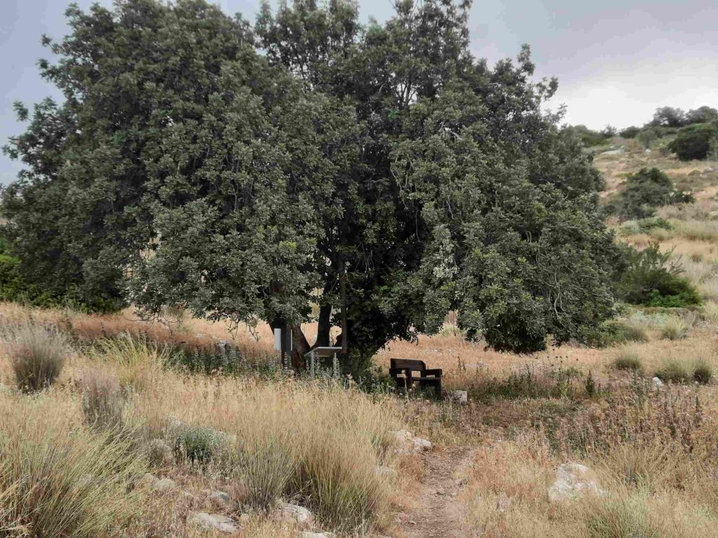
On a hillside overlooking the moshav is this lovely spot to rest. I would imagine that every woman from this moshav has been proposed to here.
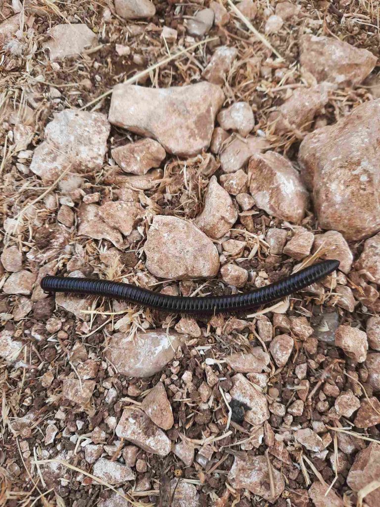
It’s a ginormous THING! With LEGS! LOTS of legs!
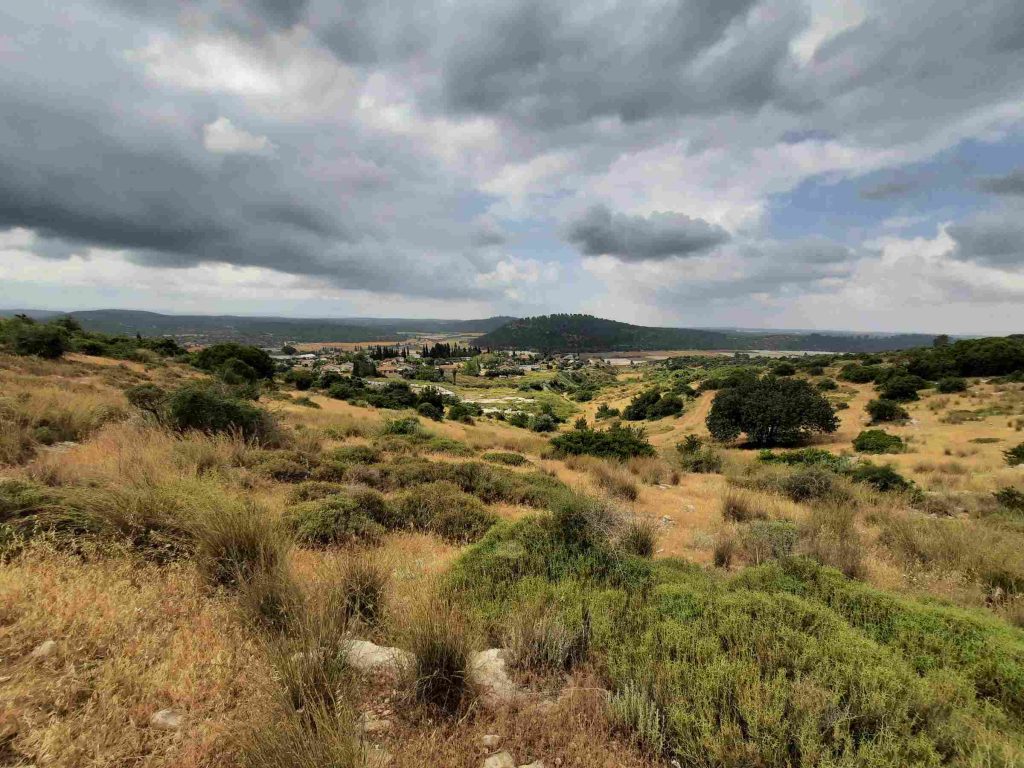
The small tree-covered hill across the valley is Tel Azeka. A tel is a mound or small hill that has been built up over several centuries of occupation. It is formed through the accumulation of remains of repeated building activities and occupations, as towns and villages were built and destroyed and then rebuilt, each new settlement placing its foundation on top of what the earlier dwellers left behind. If you were to slice through the tel, you would find a series of layers or strata, each representing one period in the site’s history. The current tel has been identified with the biblical Azekah, dating back to the Canaanite period.
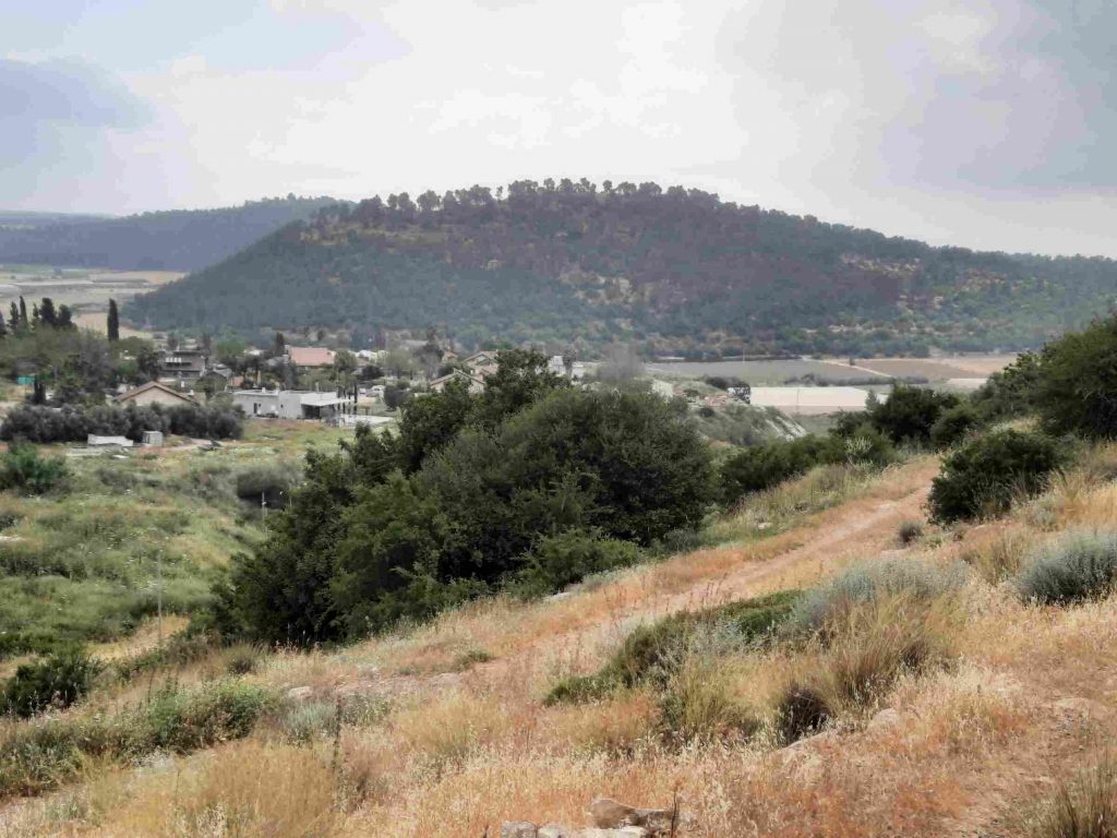
A closer look at Tel Azeka.
We were so fortunate that the weather was pleasantly cool and were sorry to see this hike come to an end. I would definitely do it again when I’m in the mood for something easy and close to home.
