Route type: Circular
Difficulty level: Moderate
Distance: ~10 km
Waze to start/end point: 31.725779, 35.117897
Notes:
- Good for dogs
- Wear long pants to protect against thorns
- Beat the heat and go early!
For some strange reason, I used Google Maps to navigate to Ein Kobi. It took us close – but not TO – Ein Kobi, through the small community of Mevo Beitar that is surrounded by a fence which, apparently, Google Maps knew nothing about. We reached a point within the confines of Mevo Beitar where Google Maps was telling us to drive straight ahead – impossible due to the fence and even had their been no fence, there was no road on the other side of it.
So we parked where we were and found a local who kindly unlocked the back gate which led into the forest. Following the israelhiking map app along a dirt road, it next showed a right turn where there didn’t seem to be any but the map was not to be argued with. We did a fair amount of bush whacking to get down to the road where we were supposed to have begun the day. Fortunately, the undergrowth wasn’t terribly thick and here and there there was a faint path which indicated we were on the right…..track. This little navigational hiccup added about 1 km each way to our planned hike but….OH WELL.
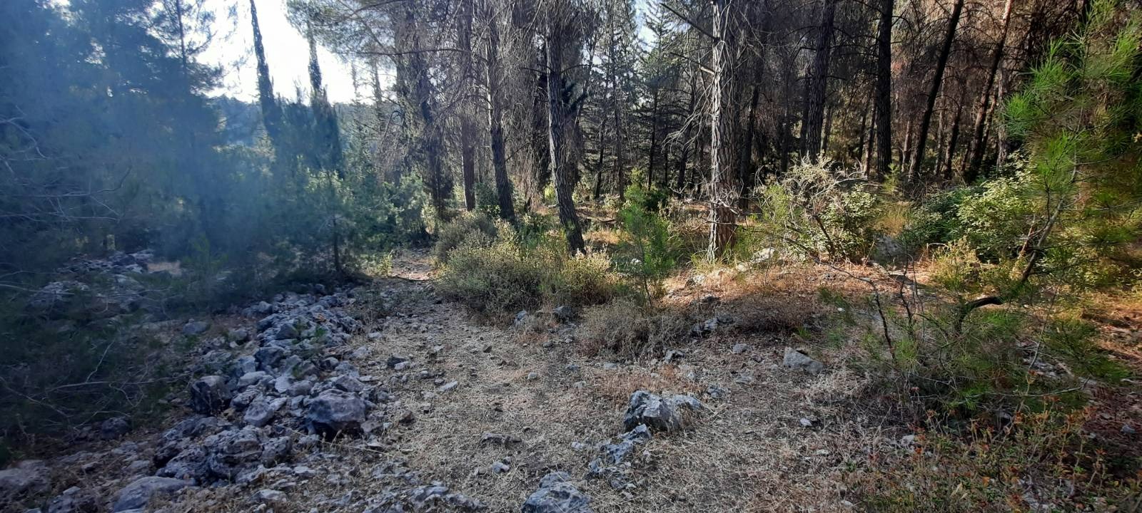
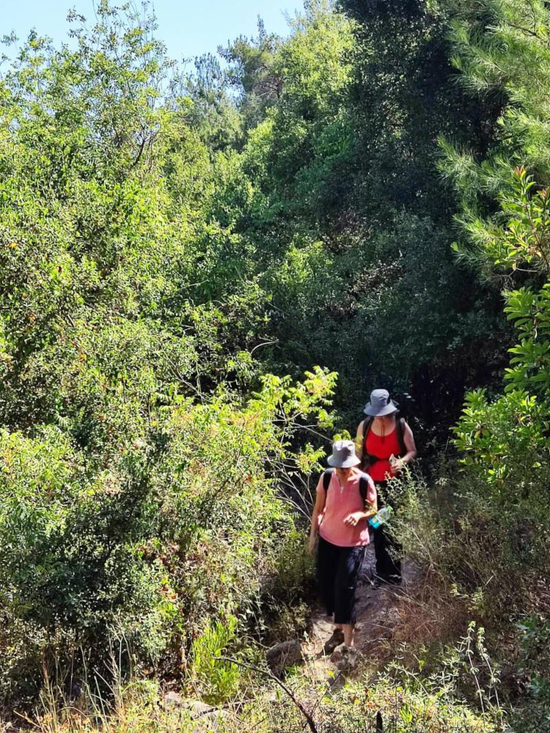
I don’t see a path. Do you?
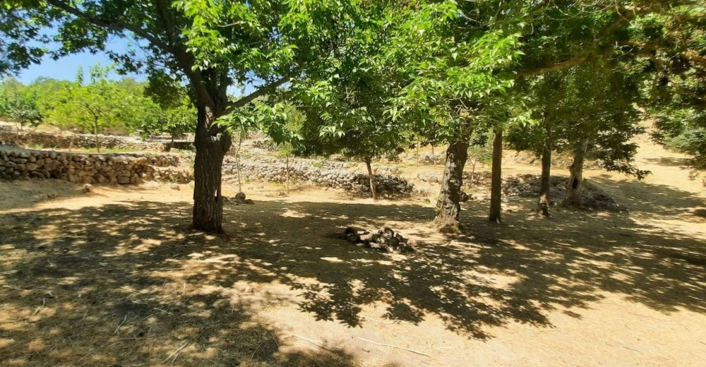
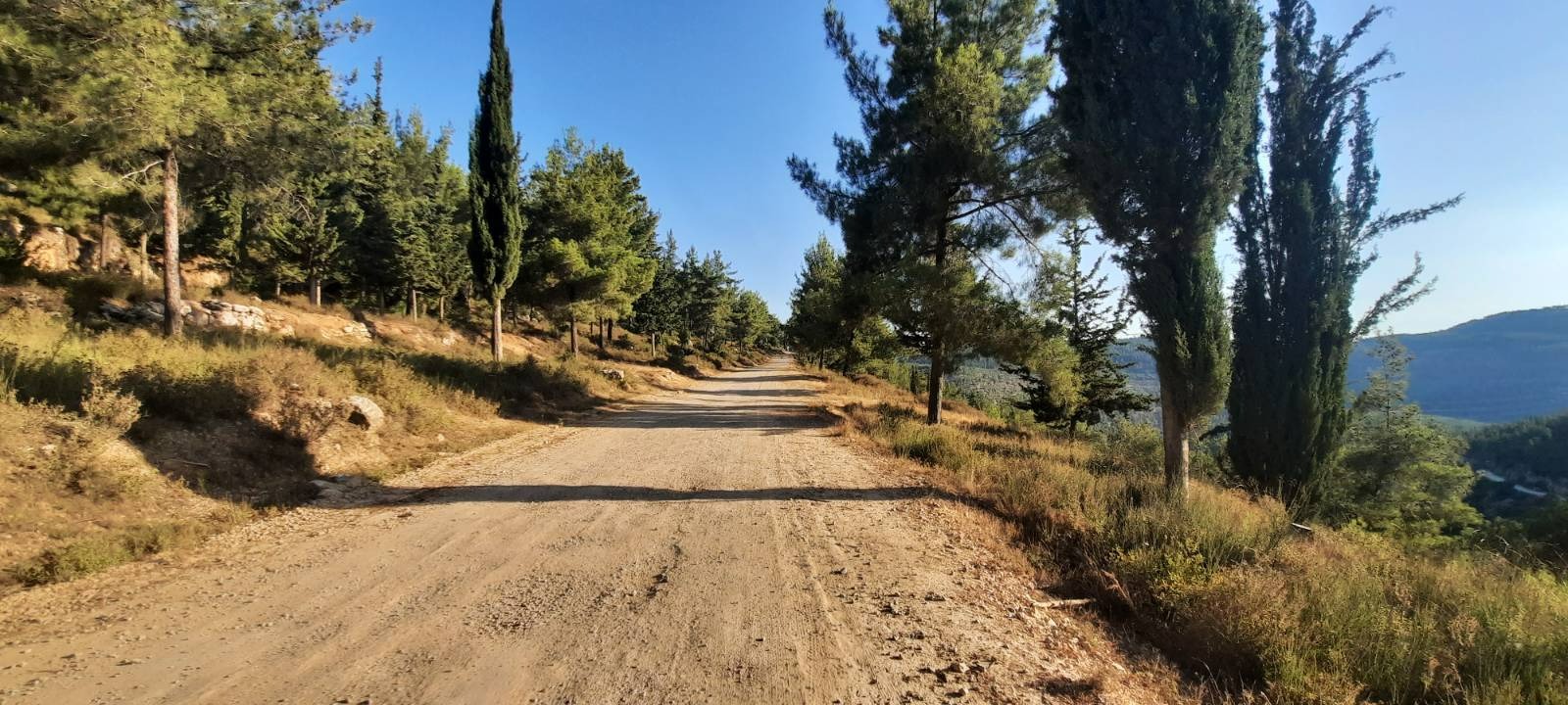
I love that early morning golden glow. Most of the trail was on a wide, hard-packed dirt road which was partially shaded although I would imagine that midday this would get roasty toasty. The views were amazing.
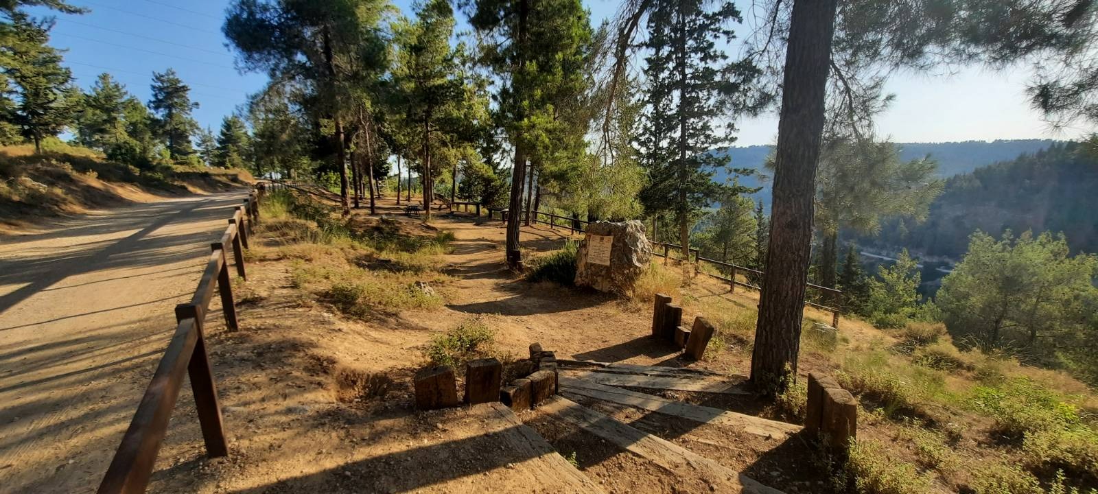
A small picnic area that almost looked like it was hanging off the side of the mountain.
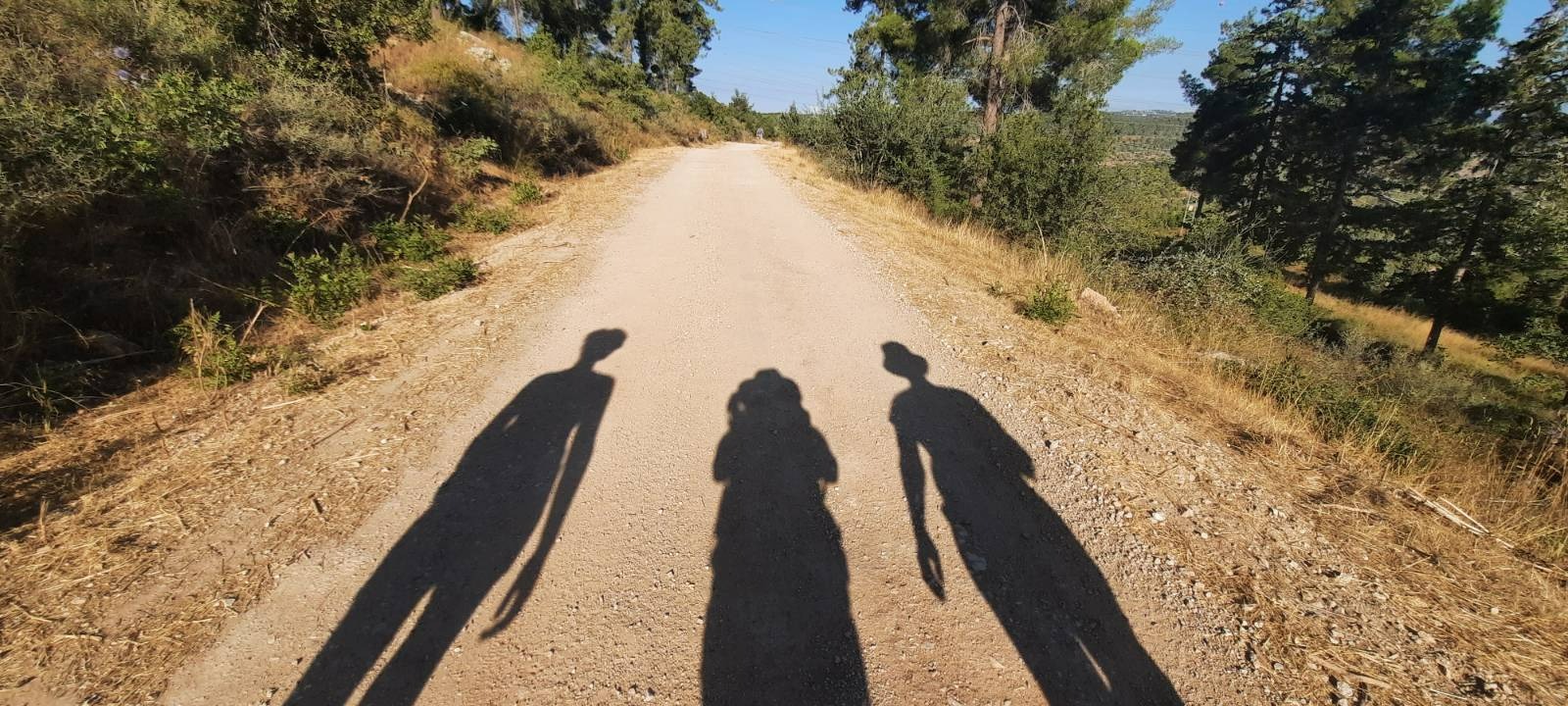
Early morning is a good time for shadow photography!
This spot on the left of the path was clearly man-made so of course we had to scramble up to check it out….
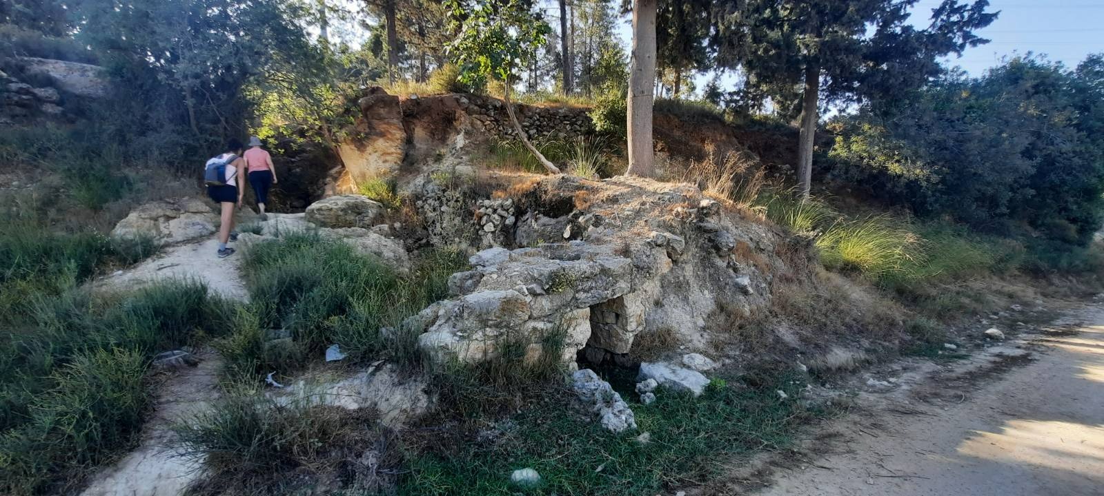
…..and discovered a cistern that, surprisingly, still had water in it.
![]()
At 8.8 km, you begin the climb up Nahal Kobi which is a dry creek bed. I’m not gonna lie. This is the toughest part of the whole hike – a 700 meter ascent. Fortunately, it is mostly shaded.
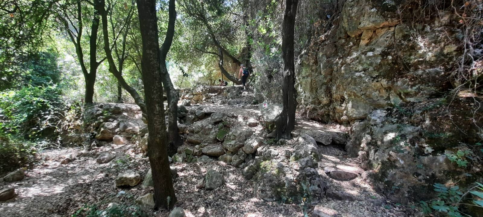
The first half of the ascent you are scrambling over medium size river rock and over and around small boulders.
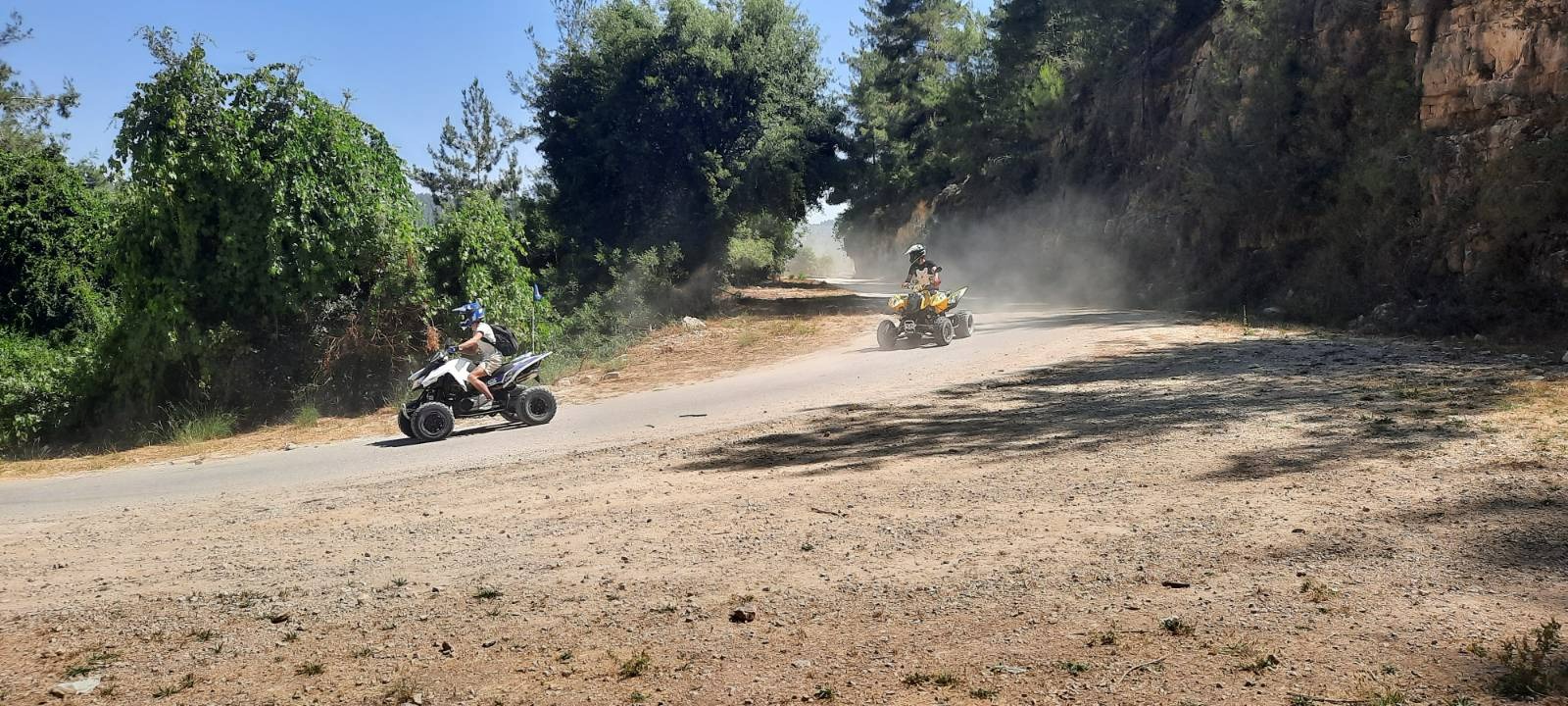
At the half way point, you pop out of the tree tunnel onto a wide, hard-packed dirt road at a sharp bend. We stopped here in the shade to catch our breath just as these noise polluters roared by.
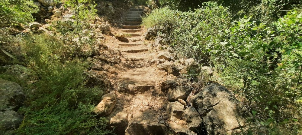
The second half of the ascent is still mostly shaded and a bit more civilized due to there being a lot of stairs.
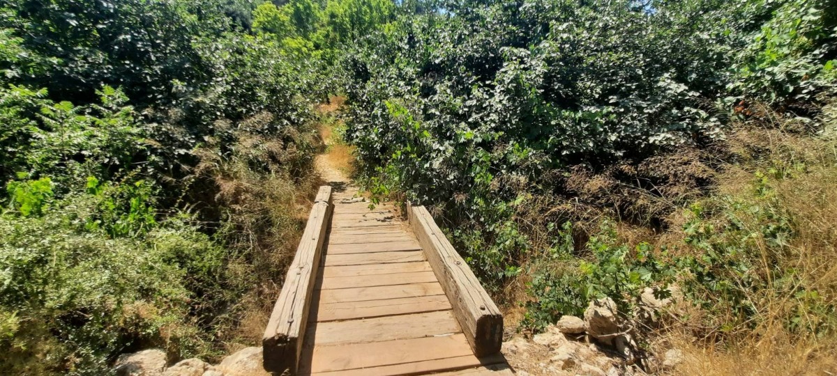
When you reach Kobi Bridge, you are about 30 meters away from the end.
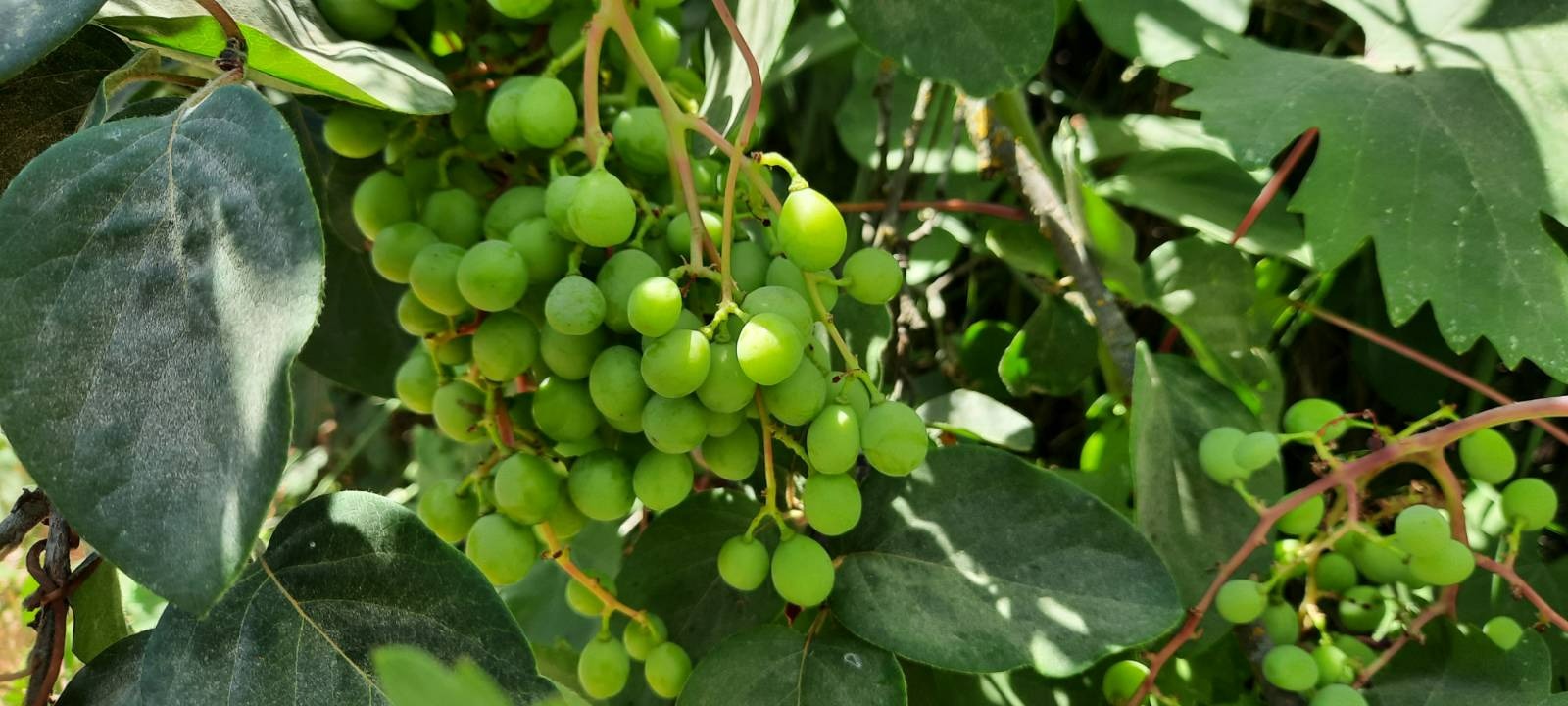
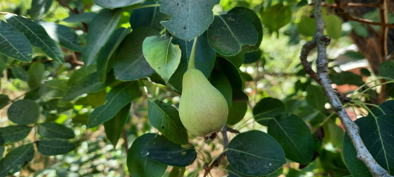
Keep your eyes peeled at the bridge. Right there in that one spot I found grapes, a pear tree, figs and some other unidentified fruit tree.
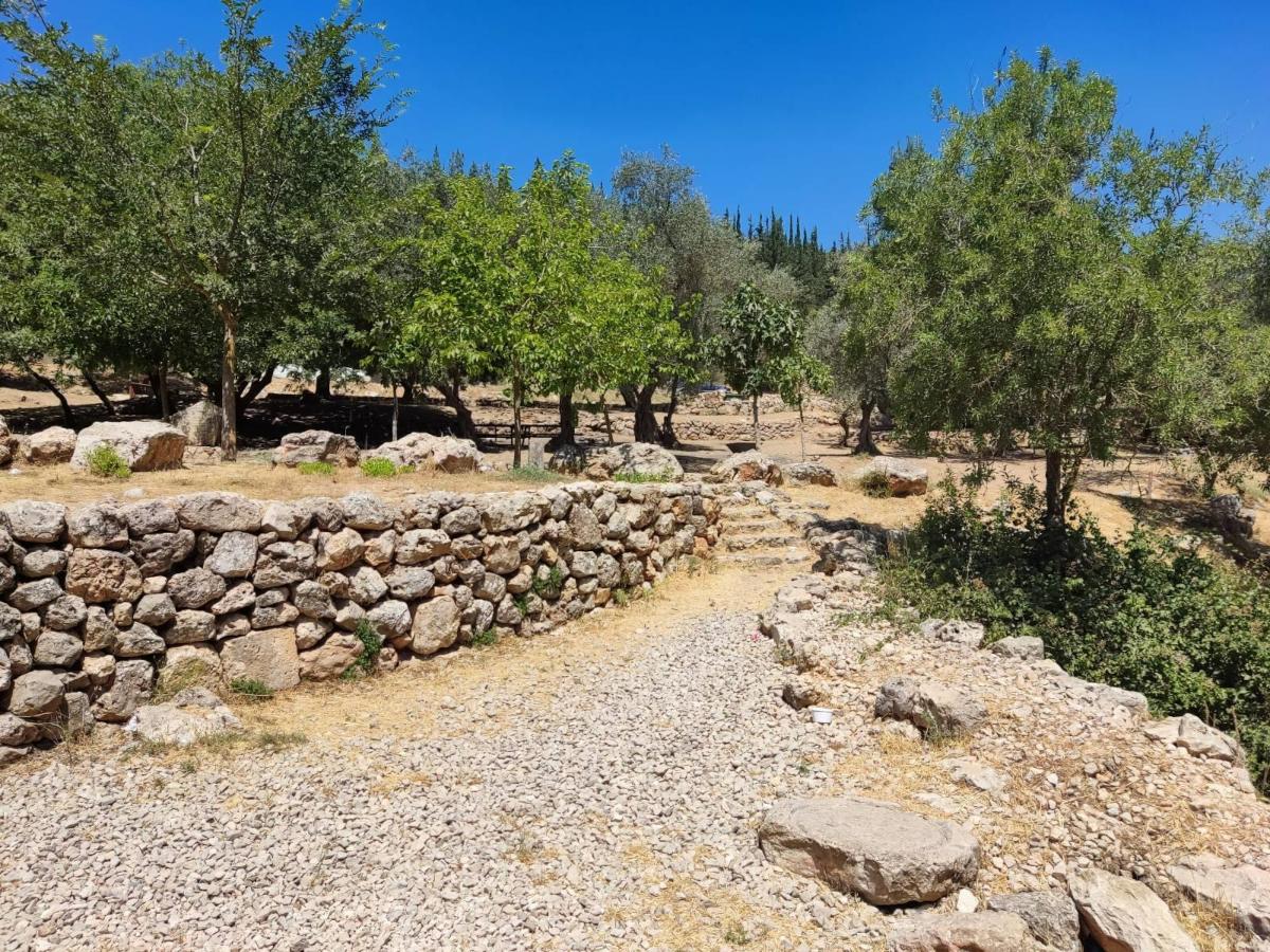
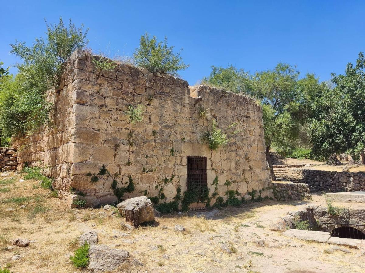
Very soon after the bridge you arrive at Ein Kobi – a beautiful terraced complex surrounding the spring, complete with shade trees and picnic tables. Kobi was a Jewish village in Roman times and Ein Kobi was its water source. The Arab village of Al Qabu was also located here. The 2,000 year old remains of the spring are situated in a valley with gorgeous vineyards and orchard trees. The water of the Ein Kobi spring has been used over the years by the farmers of the surrounding villages. One building dates back to the Ottoman period. It contains a prayer niche that faces Mecca, evidence that is was once a house of prayer. The prayer structure was built on the remains of an ancient building from the Roman-Byzantine period. After the slog up the dry creek bed, this feels like paradise. Camping is apparently permitted here and I would like to try it sometime but I imagine it’s a popular place and might be pretty noisy on a Friday night.
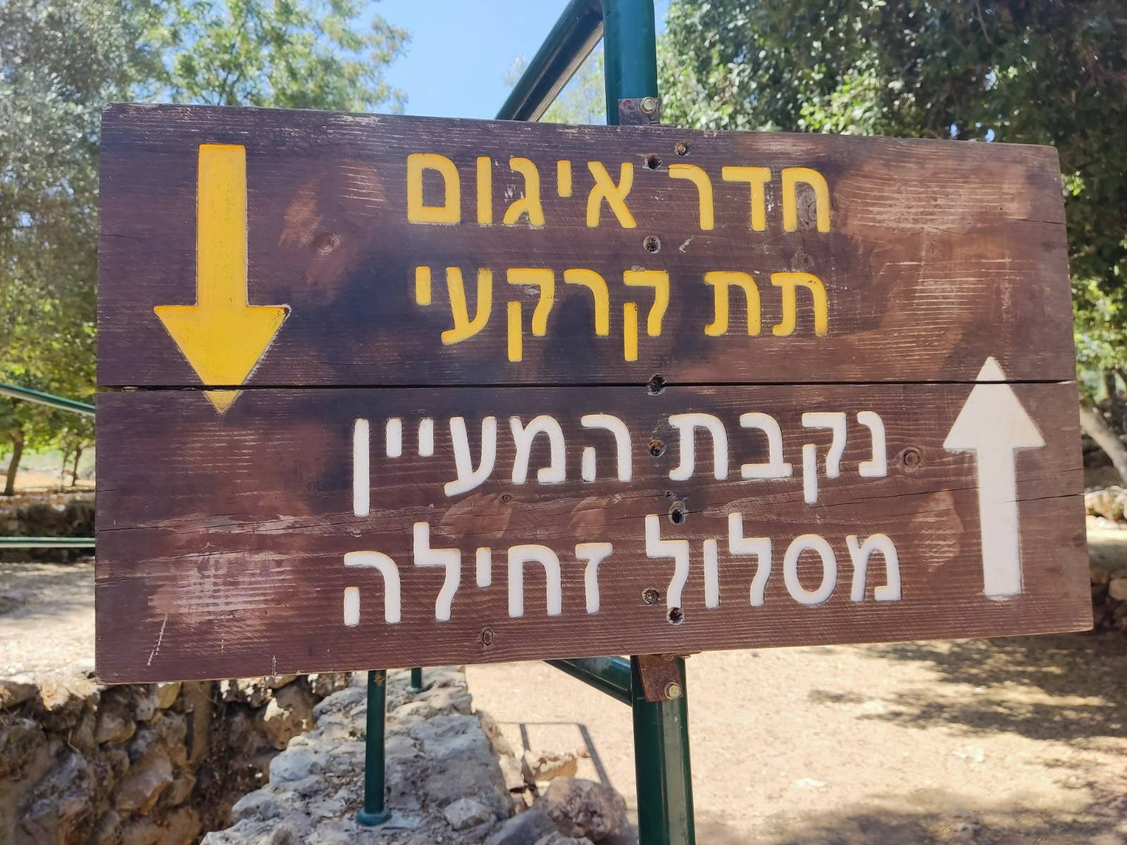
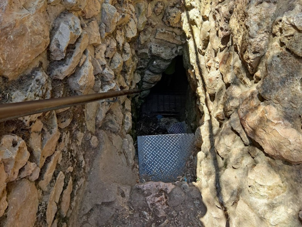
Last time I passed by Ein Kobi I completely missed this sign and the ladder down into the underground cistern.
At the entrance to the cistern there were a lot of bees? wasps? buzzing around but we ignored them and pushed through into the blackness. Take a flashlight with you. It’s incredibly cool down there!
I think if we had begun at Ein Kobi there is a good chance we would have gotten “stuck” here because it is so beautiful. Strongly recommend planning time to have a picnic here at hike’s end.