
Route type: Point A => Point B (need two cars)
Difficulty level: Easy
Distance: 6.3 km
Waze to end point: 33.067924, 35.204348 (leave car)
Waze to start point: 33.066094, 35.245107 (leave car)
Notes:
- Good for dogs
- 90% shaded
- Well-marked, stay on the blue trail all the way.
- The first water you encounter is 2.4 km from the start.
- Bring towels, 3 L water, water shoes, sunscreen and bathing suits.
- Waze took us into Moshav Yaara. Ignore this! Pass Yaara and immediately on your left there are two left turns, one right after the other. The first is a dirt road. This is the one you take to the end and leave one car there.
- Waze tells you to pass the left turn from road 899 towards the hike start point, carry on a bit, then turn around at the next traffic circle and come back. This is because there is a solid line dividing the two lane road here although there is no barrier. If you disregard Waze at this point and turn left from road 899 towards the hike start point, it will save you about 10 minutes.
I had heard that Nahal Betzet is beautiful and rarely crowded even during the hot months. And in the hot months, when we are looking for short and cool, a non-people-y water walk sounded good.
At 5 am on a Friday, the drive to the end point from where I live takes ~2 hours. This hike is very near the Lebanese border and reaching it in 2 hours makes you realize how small this country is. My friend was looking at the hike location on Google Maps and estimated that we were closer to Beirut than to Tel Aviv.
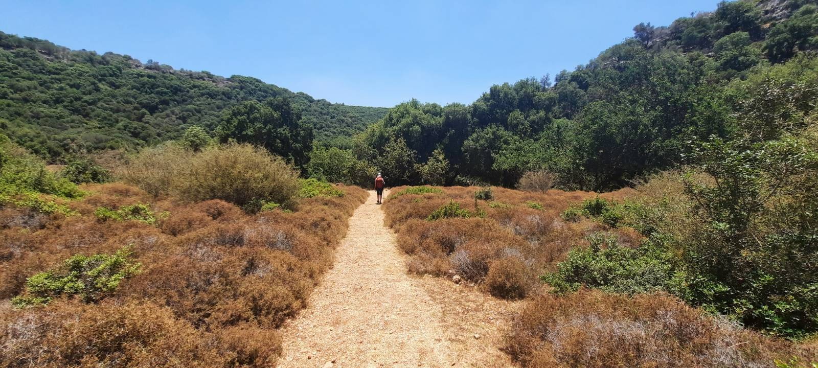
At 7:30 am when we started walking, it was so lovely, cool and refreshing – almost chilly.
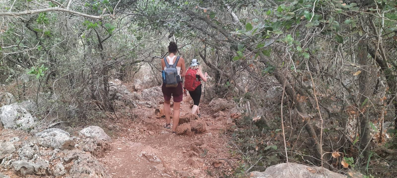

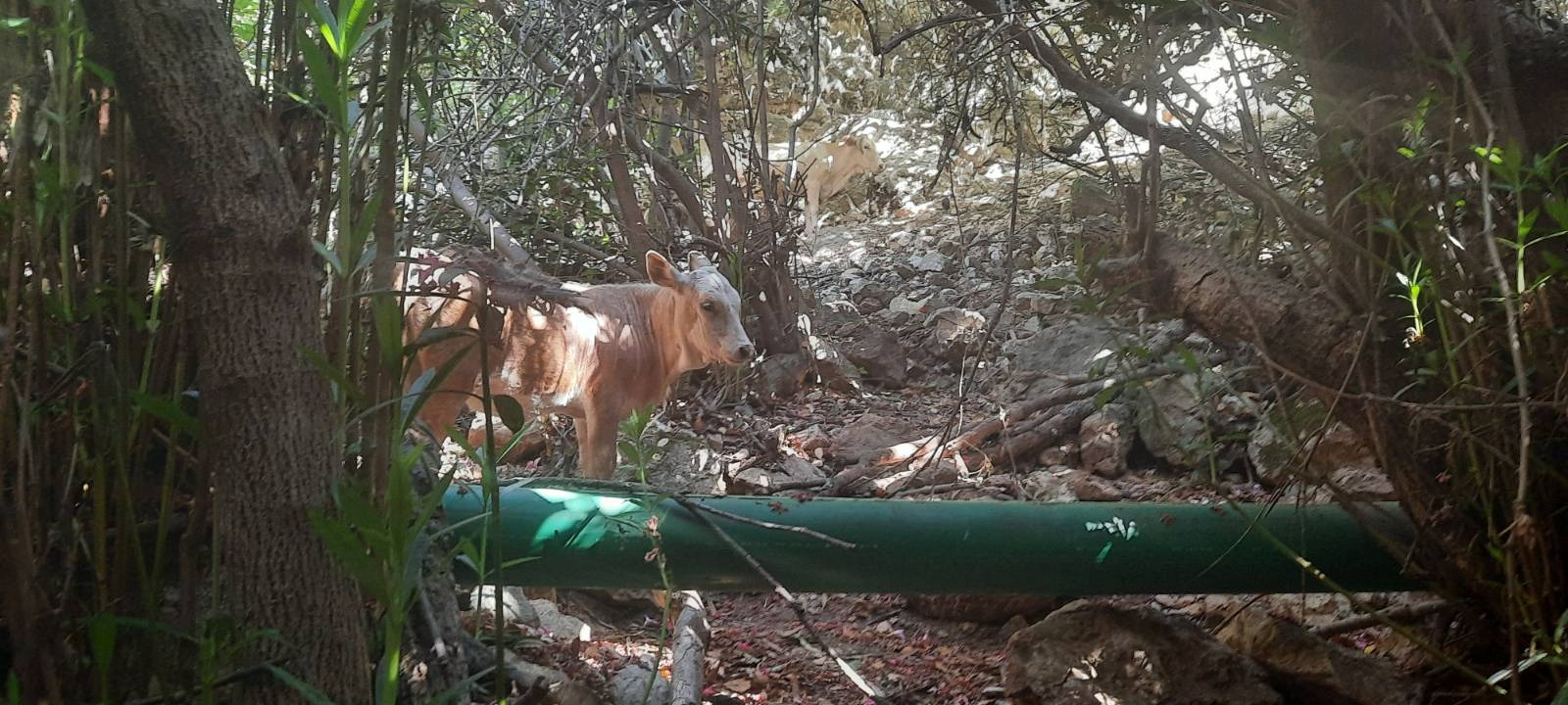
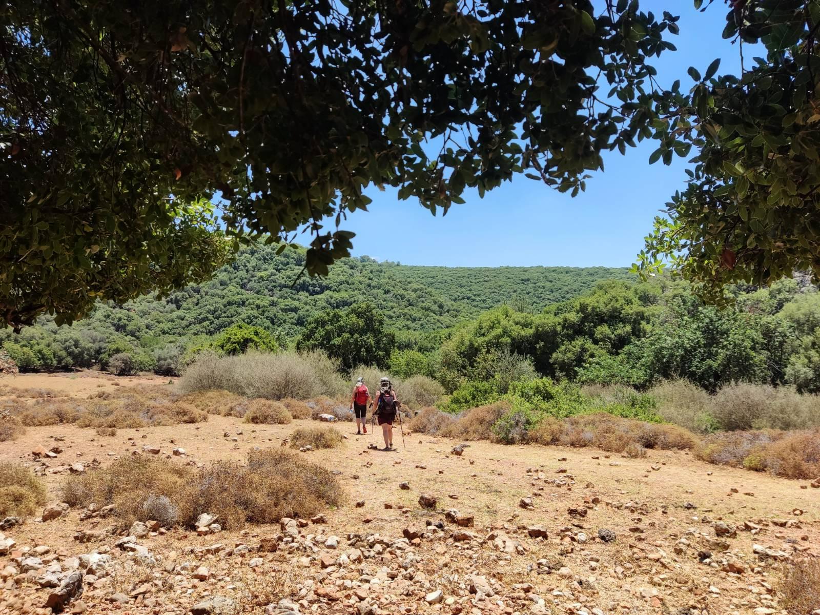
Within the first 10 minutes, as we wound our way down the forest path, we heard some crashing and rustlings in the undergrowth to our right. Some BIG crashes and rustlings. We kept trying to peer into the undergrowth to identify the creature. I was thinking “OGOD OGOD OGOD OGOD OGOD! I hope it’s not a wild boar!” and got out one of my hiking poles to use as a weapon – just in case. Because this is most definitely wild boar country. But it turned out to be only a couple of cows.
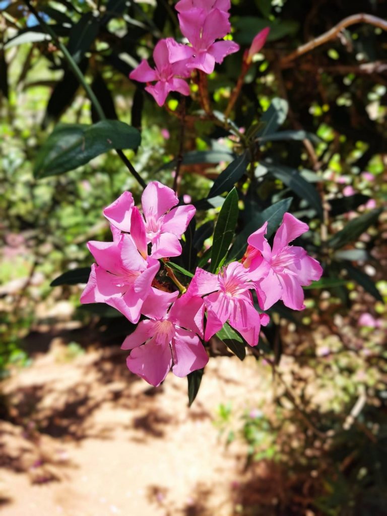
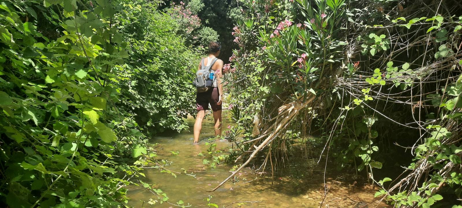
Once you start seeing these oleander flowers in abundance, you know there’s water nearby.
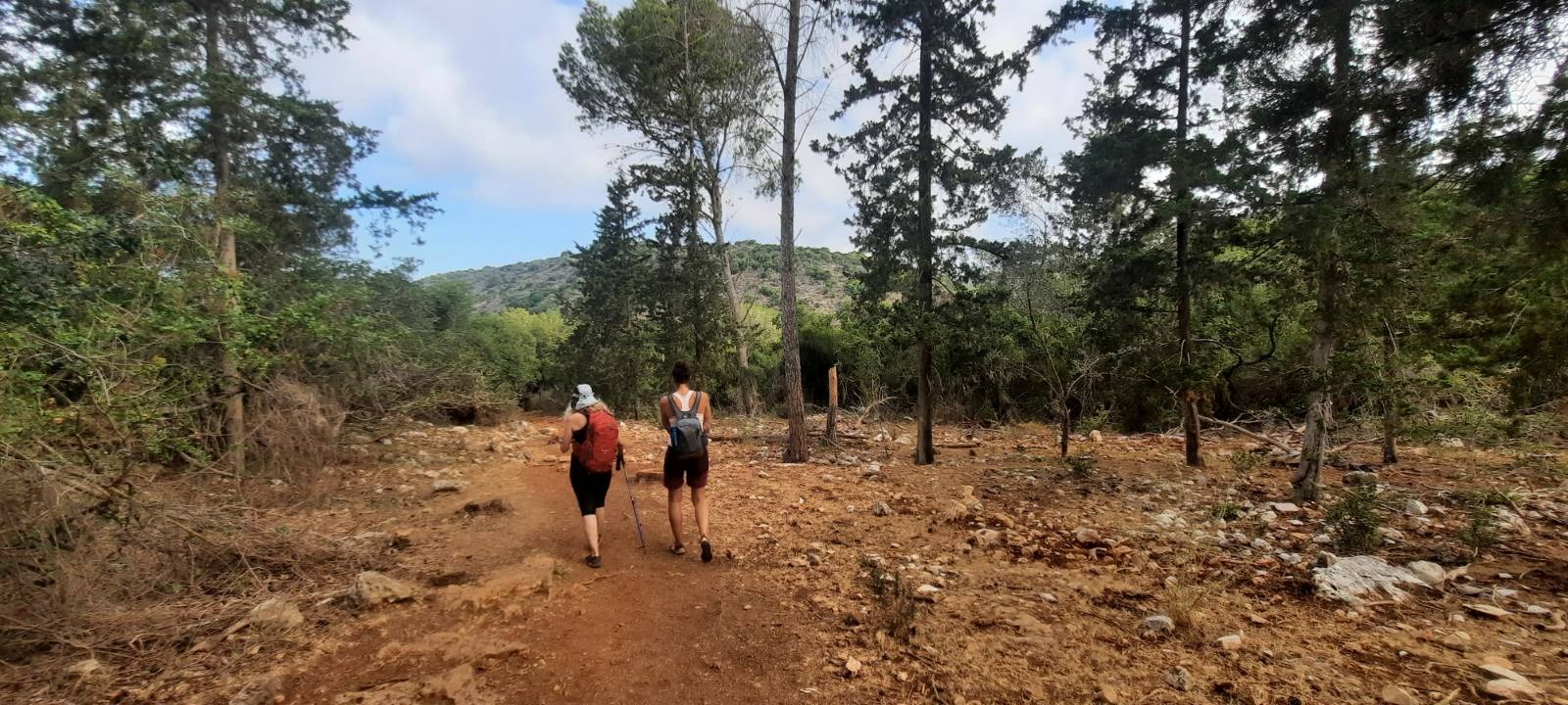
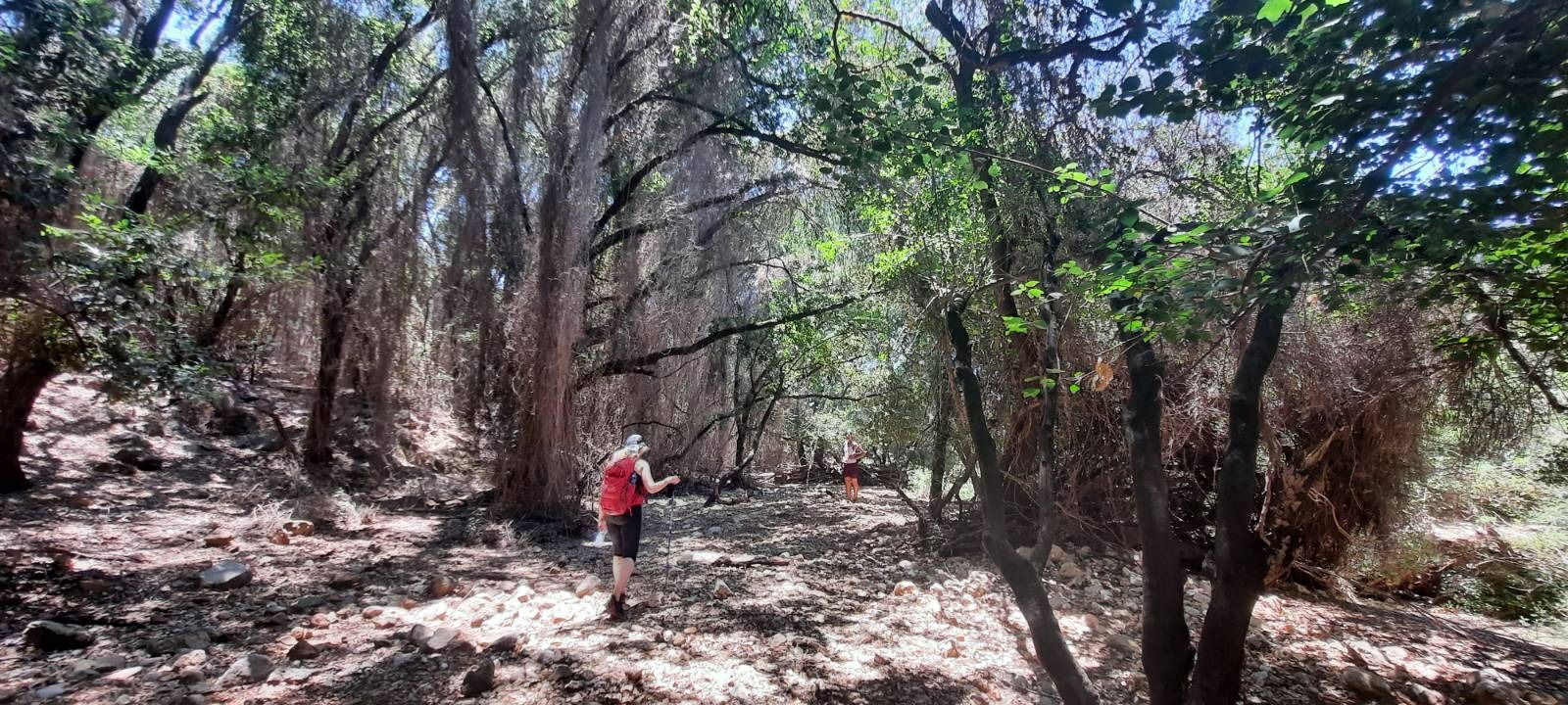
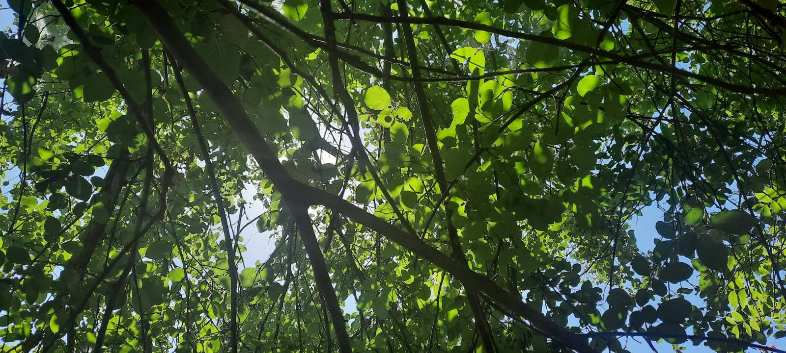
The greeny-gold sunlight twinkling down through the tree canopy was mesmerizing.
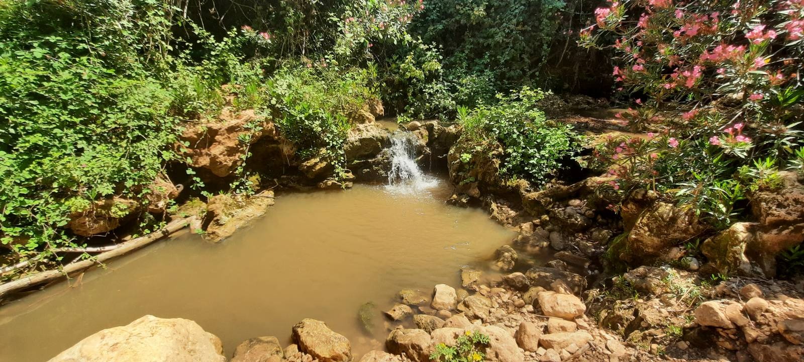
The rumors were true. We saw one couple with a dog on the trail early in the day and later there was one spot with a few pools where there were some families with little kids. Other than that, we had the place to ourselves.
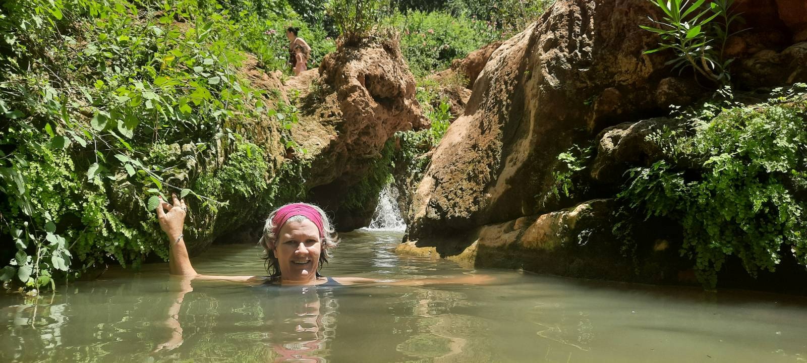
The water varied in depth from ankle deep to neck deep. It was breathtakingly cold but that didn’t stop us.
It was really deep right here but I found a stone on the bottom that I could balance on on my big toe to just keep my head above water.
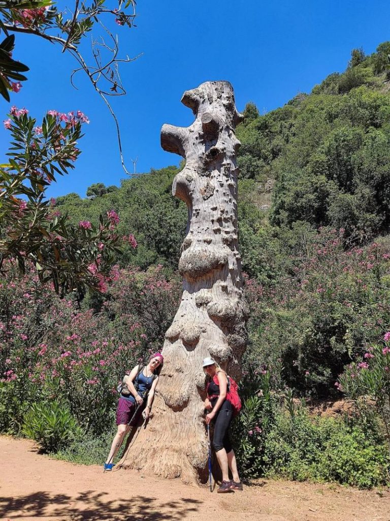
I think this is my favorite picture from the whole hike. It almost looks like a sculpture. Sadly, this tree trunk was riddled with large holes that some insect had bored in it which, I imagine, is what had likely killed it.
There are short portions of the last 2.6 km that are a little bit more exposed to the sun but there was a nice breeze and as we were still very soggy, this was a non-issue.
Going early, keeping it short and shady and staying wet are key to safe hiking in the summer.