
Route type: Circular
Difficulty level: Easy-Moderate
Distance: 6 km
Waze to start/end point: Khurvat (Ruin) Se’adim
Notes:
- Good for dogs
- Beat the heat and start early!
- Return trail has very little shade.
- If you want to get wet, bring water clothes, water shoes and towel.
The irony of this country – for those who keep Shabbat – is that you get those lovely L O N G Fridays in the summer which, in my head anyway, means, “Oh goodie! That means we can do a LONG – really long – hike!” But you just can’t. It’s too burny hot out there and too dangerous to tackle any long or overly strenuous hikes.
Then, in the fall, the weather goes all lovely and cool and wet and green and flowery and we all shout “hurrah!” for the cooler hiking weather but then we have short – really short – Fridays and whatever hiking we do has to be done in a mad rush in order to get home before Shabbat starts. It’s frustrating!
In any case, while we wait for cooler weather, we fill the hot months with hikes that are short and hopefully wet.
This trail is a popular one and for good reason. Jerusalem is at a higher elevation than a lot of places in the center so it’s usually significantly cooler with less humidity. We left my house at 5:40 am on Friday and got to the hike start point by 6:30.
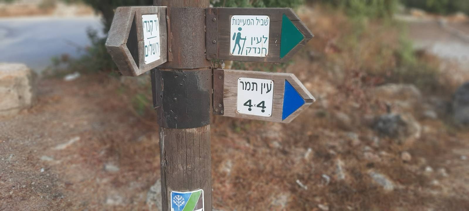
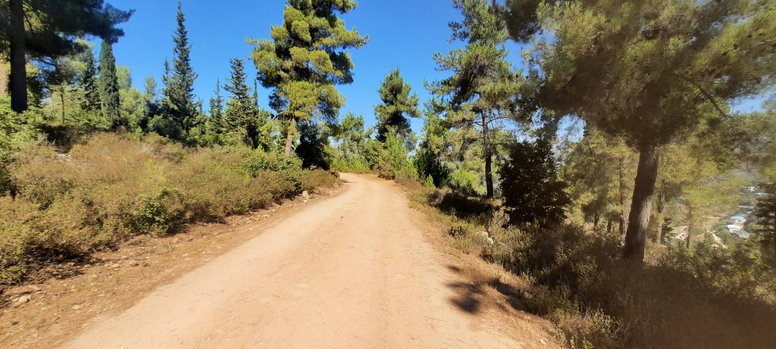
When you arrive at Khurvat Se’adim (start point), there is a parking lot next to a decent little KKL pine forest with picnic tables and some basic playground equipment and some bonfire pits. It looked like it would be a good place to go camping. Leave your car here and look for the “Shvil HaMaayanot” green trail markings at the end of the parking lot.
The fog that had hung heavily in the valleys was just starting to burn off.
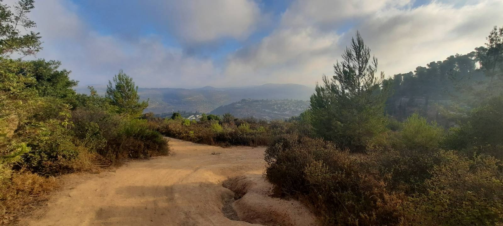
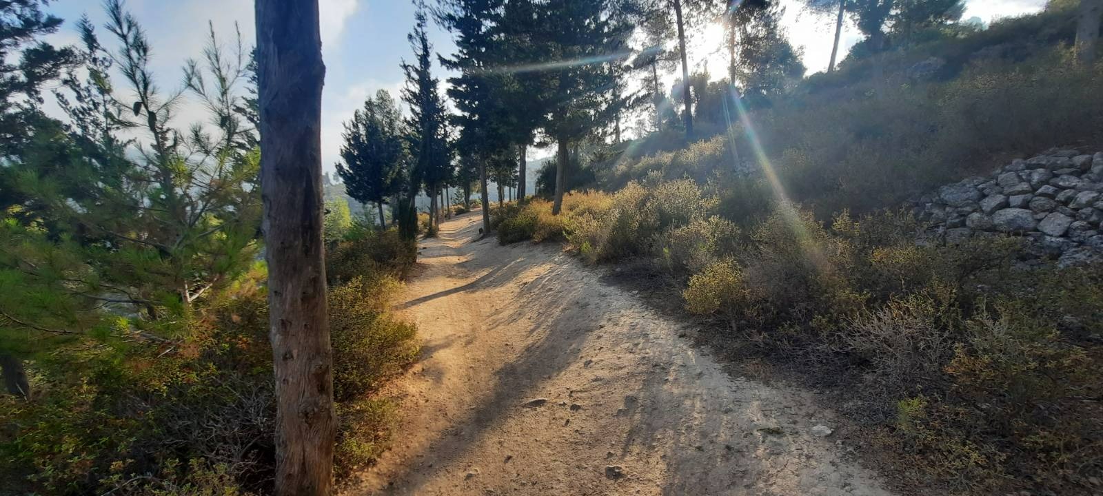
The trail was mostly wide, hard packed dirt and not difficult. At 7:30 am, the trees were still throwing shade.
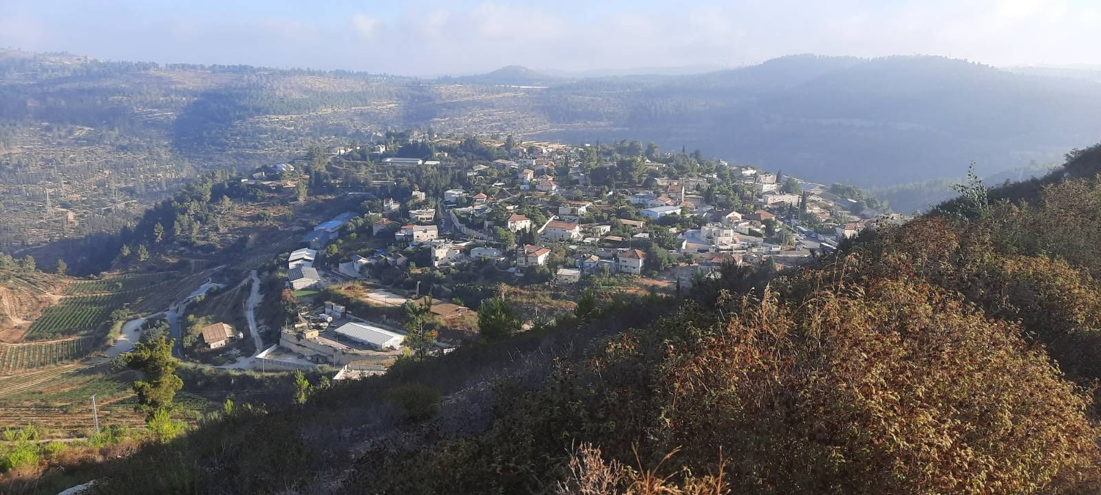
We had an amazing view over the community of Even Sapir. Even Sapir was established in 1949 on land that had belonged to the depopulated Palestinian village of ‘Ayn Karim.
The moshav was founded by Hebrew repatriates returning from Kurdistan. The name was either taken from Even Sapir, a book written in 1864 by Yaakov Halevi Sapir, a Jerusalem rabbi and emissary, which describes his travels to Yemen in the 19th century, or it was named after Pinchas Sapir, Israel’s finance minister, who encouraged Jewish businessmen from the Diaspora to invest in the new state. In 2019 it had a population of 703.
You come to the first spring very quickly, ~500 meters from the hike start point. It is to the left of the path and lower down on the hillside so keep your eyes open for it. There wasn’t much water in it and it didn’t look so clean.
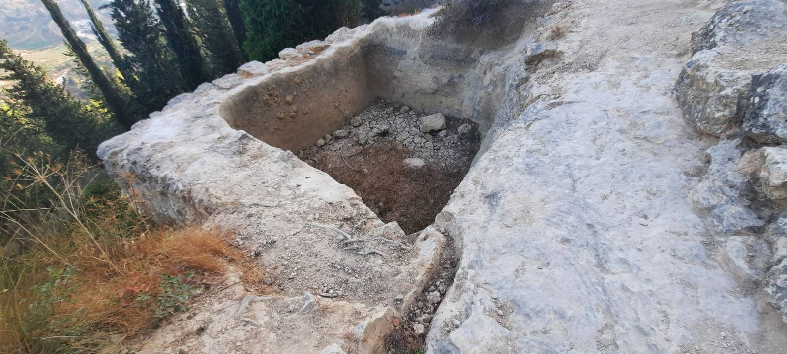
After we scrambled down to get a closer look and snap some pictures, we carried on. The next spring was also to the left of the path and was dry.
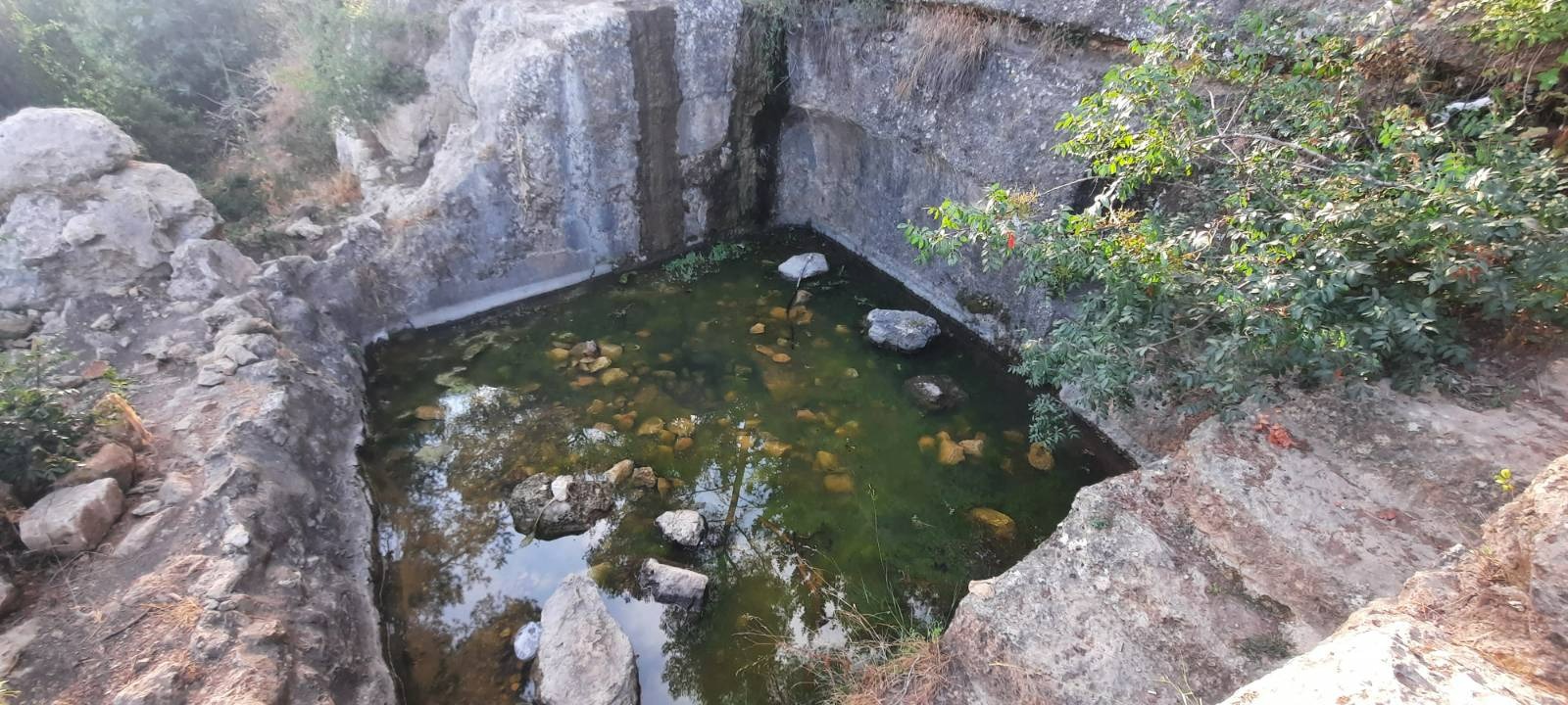
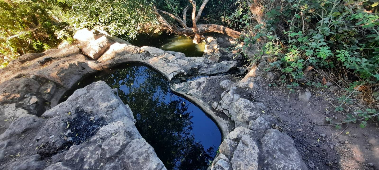
At 1.34 km from hike start, you reach Einot Uzi. This was full of water of a dubious green hue. I wasn’t too sure about going in but there were some other young people nearby cooking up some shakshooka – how Israeli of them! One of the girls said she’d gone in and that the water was neck deep. OK then! I hadn’t come all this way to not get wet. There were rough stone steps down into the spring. It was cold muchly but refreshing once I was in!
At 1.68 km, there is a short detour to the right (blue trail) that takes you a few meters up to Ein Tamar – another spring. It is very popular and you will probably hear voices of other people enjoying this spot before you ever see it. When we arrived, a huge group of mountain bikers was just leaving.
We were shocked at how much litter there was around this spring. Newspapers, toilet paper (ew!), discarded pieces of clothing, food wrappers, a totally water logged baby’s diaper. We collected what we could into a pile at least….hoping that KKL personnel come around at times to collect garbage and only afterwards saw a sign posted by KKL: “There is no garbage collection from this place. Please take your garbage with you.” What is so difficult about putting a garbage can or two in these popular spots??
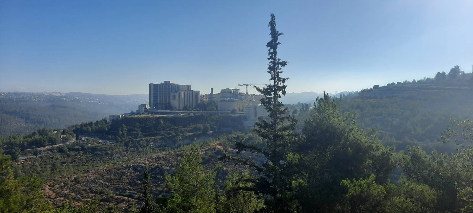
A gorgeous view of Hadassah Ein Kerem Hospital across the valley.
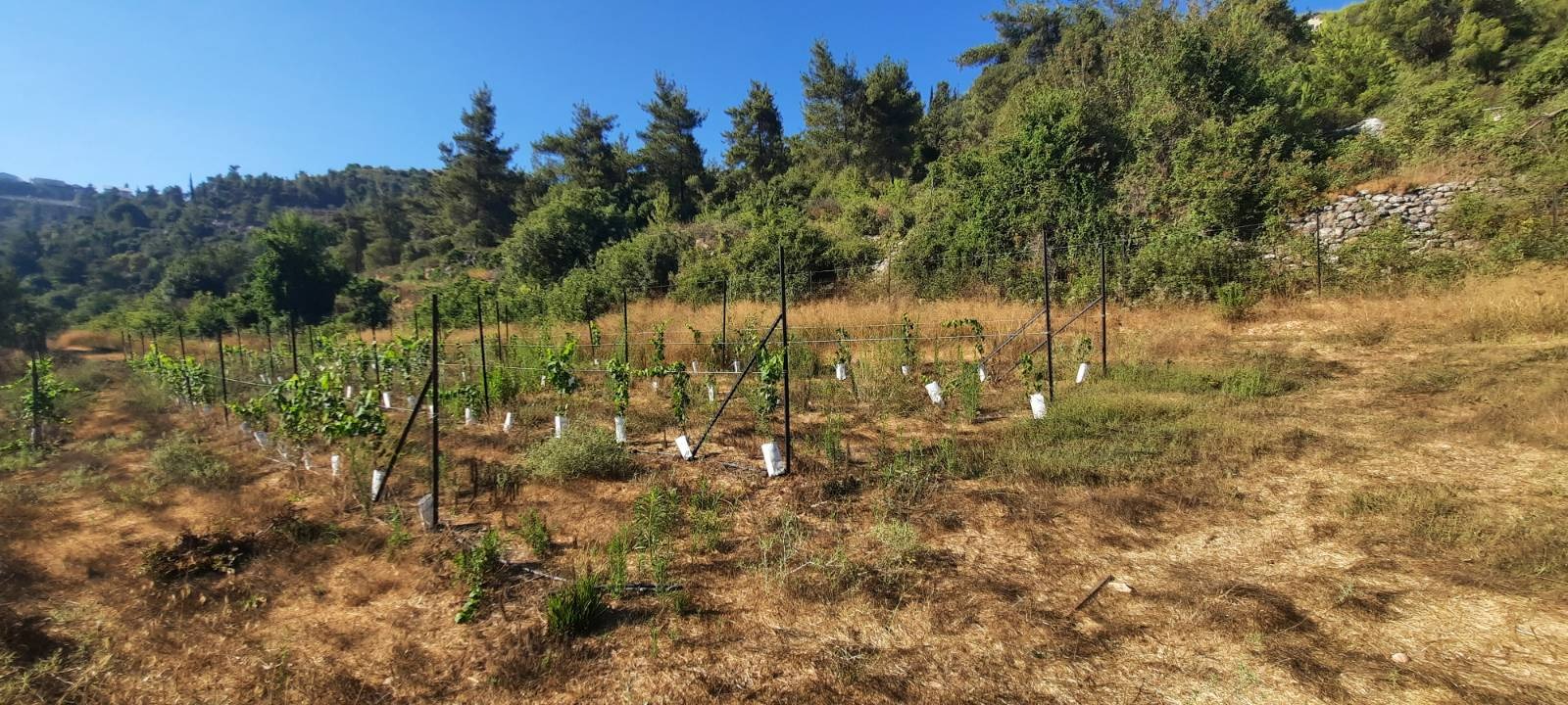
At 2.8 km you will be coming down an easy descent and will see a few small, fenced vineyards on your right.
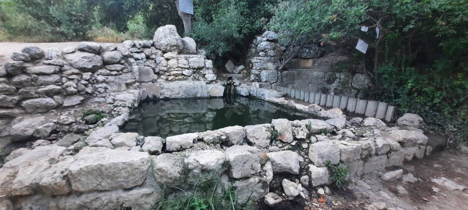
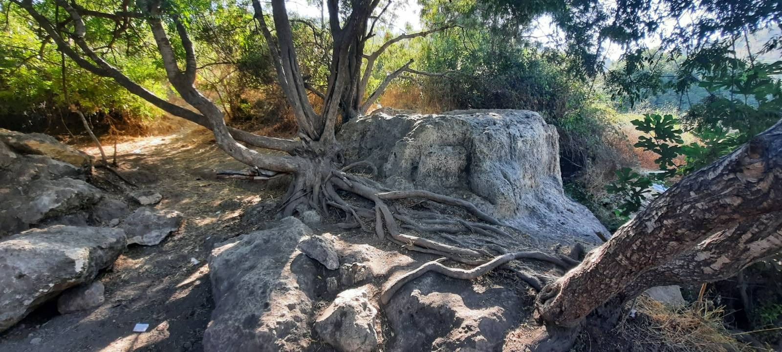
You will see a sign “Ein Sarid” in Hebrew hanging on a fence and pointing to the left with an arrow. This spring is approximately the half way point of the hike and there is a lovely spot under a massive tree next to it for a food break or to get wet again if you want. It is worth the slight detour.
We encountered a group of haredi men here, one of whom was using this spring as a mikveh (don’t they have a friendly neighborhood mikveh they can use??). When we decided it was time for us to move on, there was no way back down to the path but through this group of men. The “unclad” one dressed quickly and they all parted for us to pass, wishing us “Shabbat Shalom” as we did so. We did not feel threatened at any point but it was definitely an….odd….experience.
As we rejoined the trail to continue on, we saw a young family with two little kids who were skipping towards us. We wondered if we should be responsible citizens and provide these parents with a nudity alert but in the end decided against it.
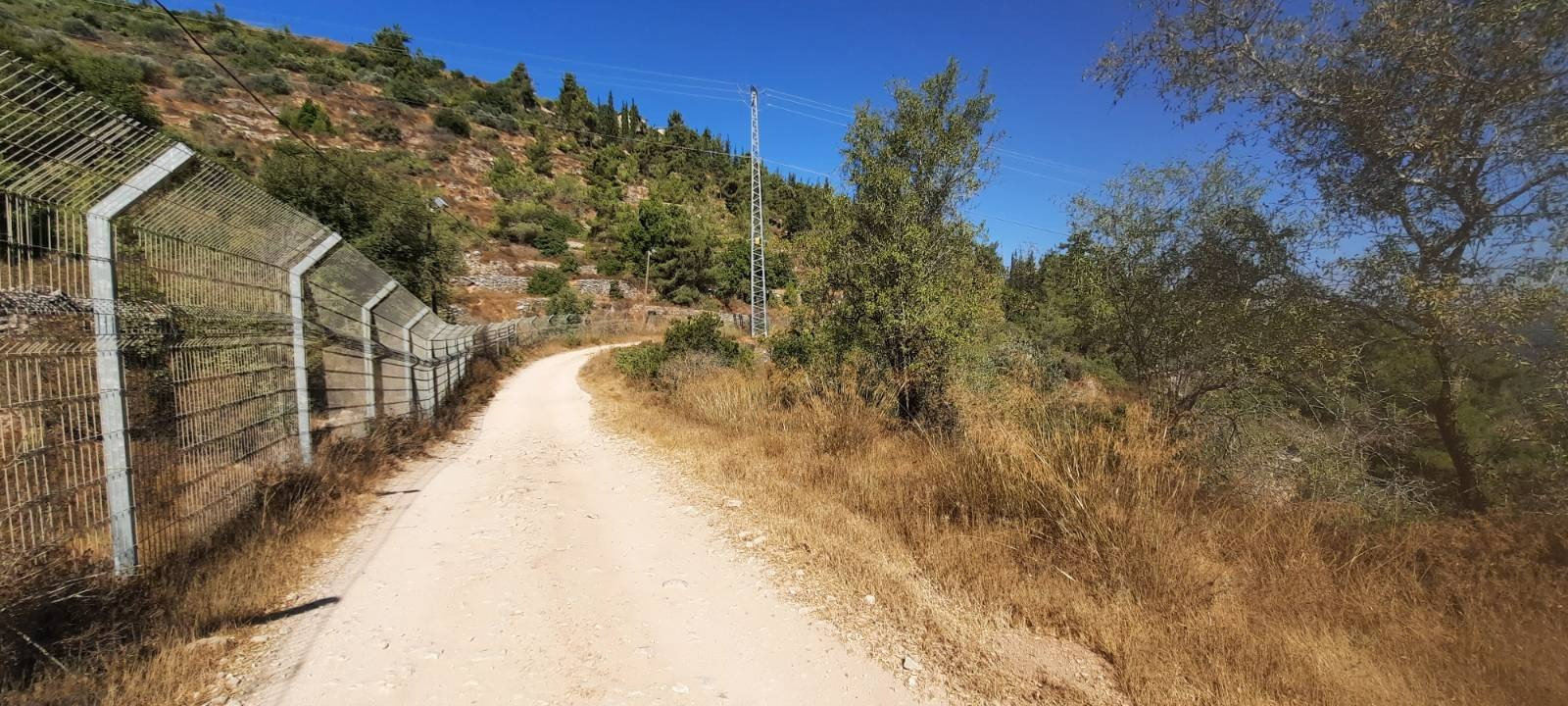
After you leave Ein Sarig, the trail makes a hairpin turn to the right and beings a bit of a climb. It’s not very long or particularly difficult, just be aware that there is one. We began this section around 9:15 am and there wasn’t much shade however it was still only 24 C with every once in a while a refreshing little pooff of breeze.
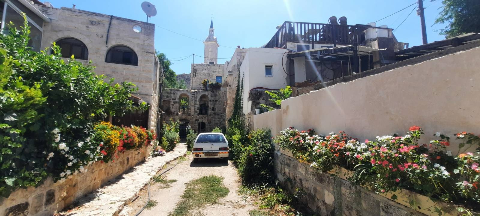
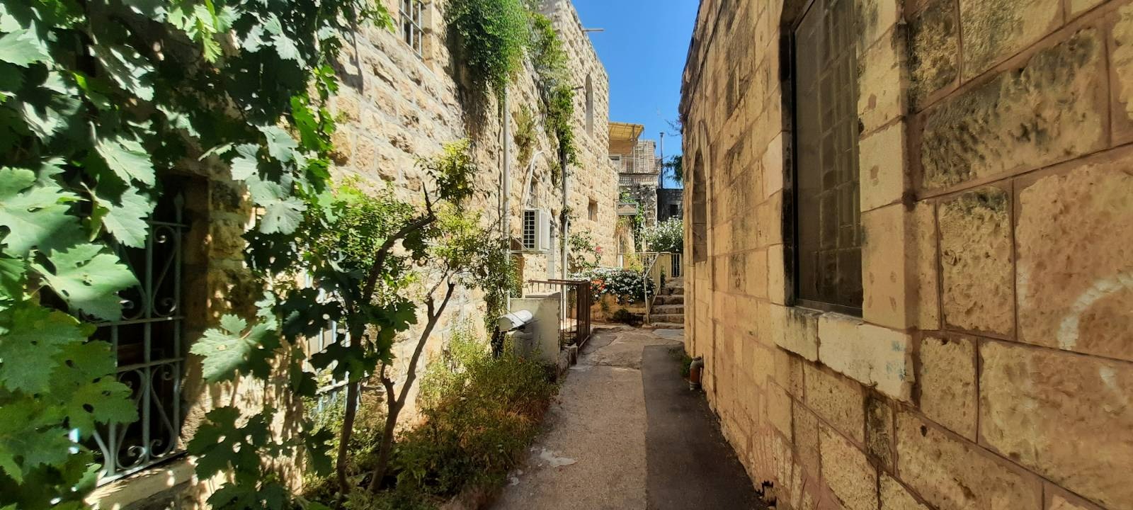
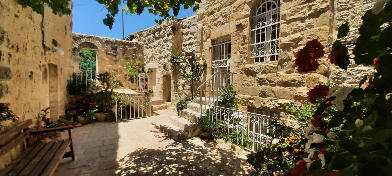
We were finished with this hike by 10:00 so decided to combine it with a little snoop around Ein Kerem which was about a 15 minute drive away. We found parking fairly easily and walked up one side of the main street and down the other, exploring some quaint side alleys where there were some wonderful art galleries, a church or two and some gift shops.
Wikipedia tells us that Ein Karem was an important Jewish village during the late Second Temple period, during which it became important to Christianity. Christian tradition holds that John the Baptist was born in Ein Karem, following the biblical verse in Luke saying John’s family lived in a “town in the hill country of Judea”. Probably because of its location between Bethlehem and Jerusalem, this location was a very comfortable one for a pilgrimage, and this led to the establishment of many churches and monasteries in the area.
During the years of Ottoman and later British rule in Palestine, Ein Karem was a Palestinian Arab village. It was depopulated of its residents during the 1948 Arab-Israeli War. After the war it became, once again, a Jewish settlement. Today, Ein Karem is a vibrant bohemian neighborhood of Jerusalem, with a population of 2,000 (2010). It has retained a very high-level of authenticity, its natural environment remains intact, and its old houses are still inhabited and preserved. It attracts three million visitors a year, one-third of them pilgrims from around the world. Alongside its religious landmarks, Ein Karem is also known for its fine art, culinary, and musical scenes.
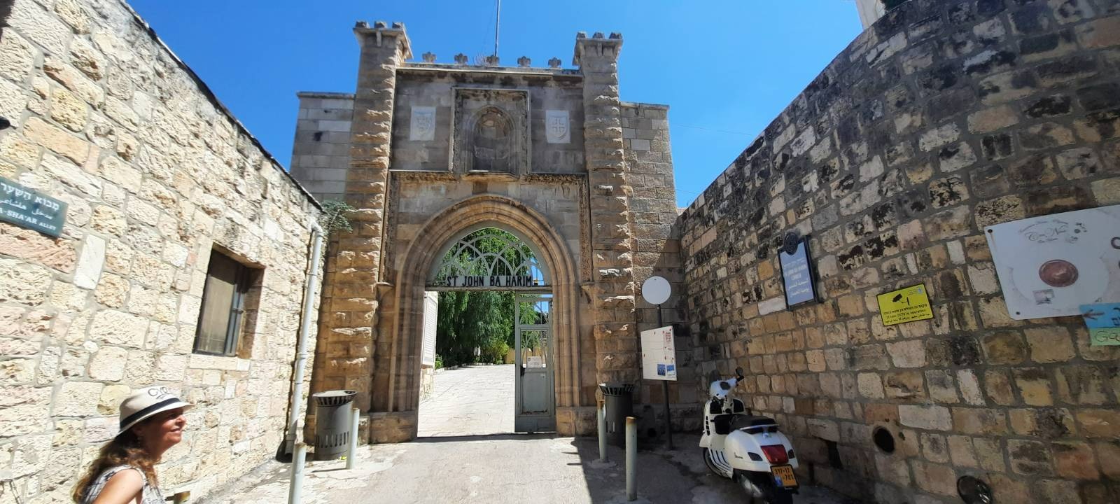
The Church of St. John the Baptist is a Catholic church in Ein Karem. It was built at the site where John the Baptist was supposed to have been born and probably dates from the 11th century.
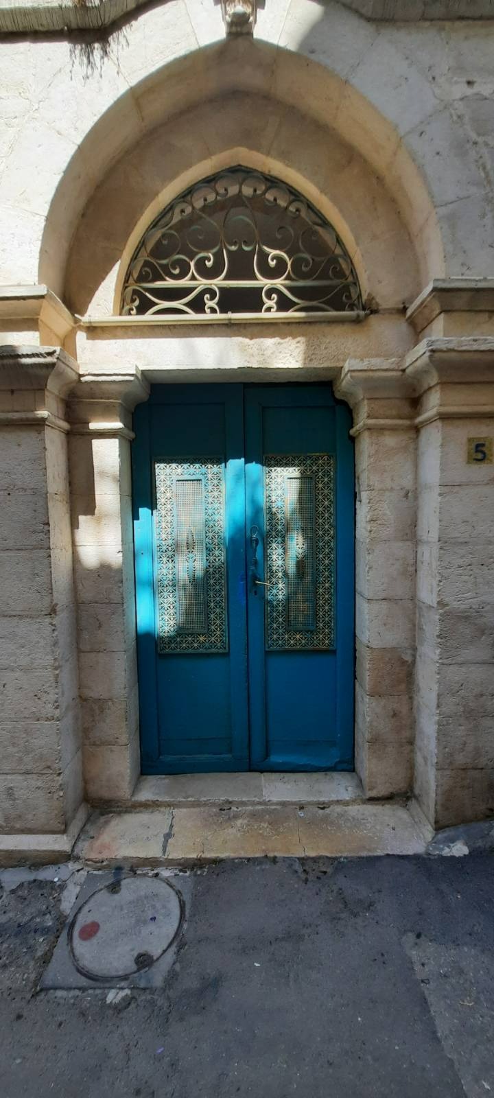
I love beautiful doors and the intricate detailing on these aqua blue metal doors caught my eye. This color is seen often throughout the mediterranean countries and Middle East. It is thought to ward off evil spirits.
We found a quaint coffee shop with outdoor seating in Ein Kerem where we finished up our day with coffee, a pastry and a nice chat while we watched loads of tourists walking by and then headed home.