Route type: Circular
Difficulty level: Difficult
Distance: 7.5 km
Waze to start/end point: 31.766523, 35.162336
Notes:
- Good for dogs
- Beat the heat and start early!
- The section of this trail after Ein Kerem has very little shade.
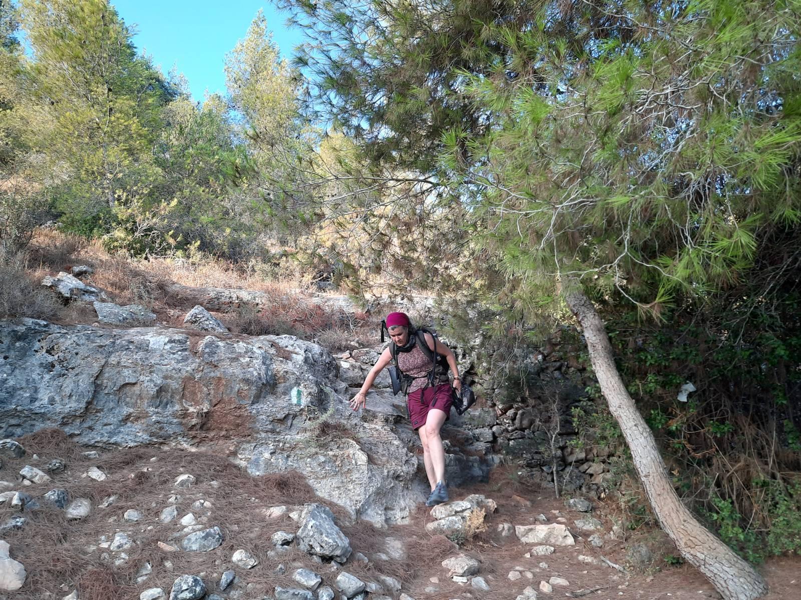
Today I bring you the Sovev Ein Kerem trail. I rated this trail difficult, not because it’s long – it’s not – but just because there is a fair amount of scrambling over loose stones needed and there is one quite challenging, exposed ascent after you come through Ein Kerem itself.
I only recently discovered that this trail is a “thing” during our recent excursion to Ein Kerem after doing the Jerusalem Springs Trail (read post here). I saw a huge poster about this trail up on a billboard in Ein Kerem so I mentally filed the information away to pull out when we needed something short in the Jerusalem area.
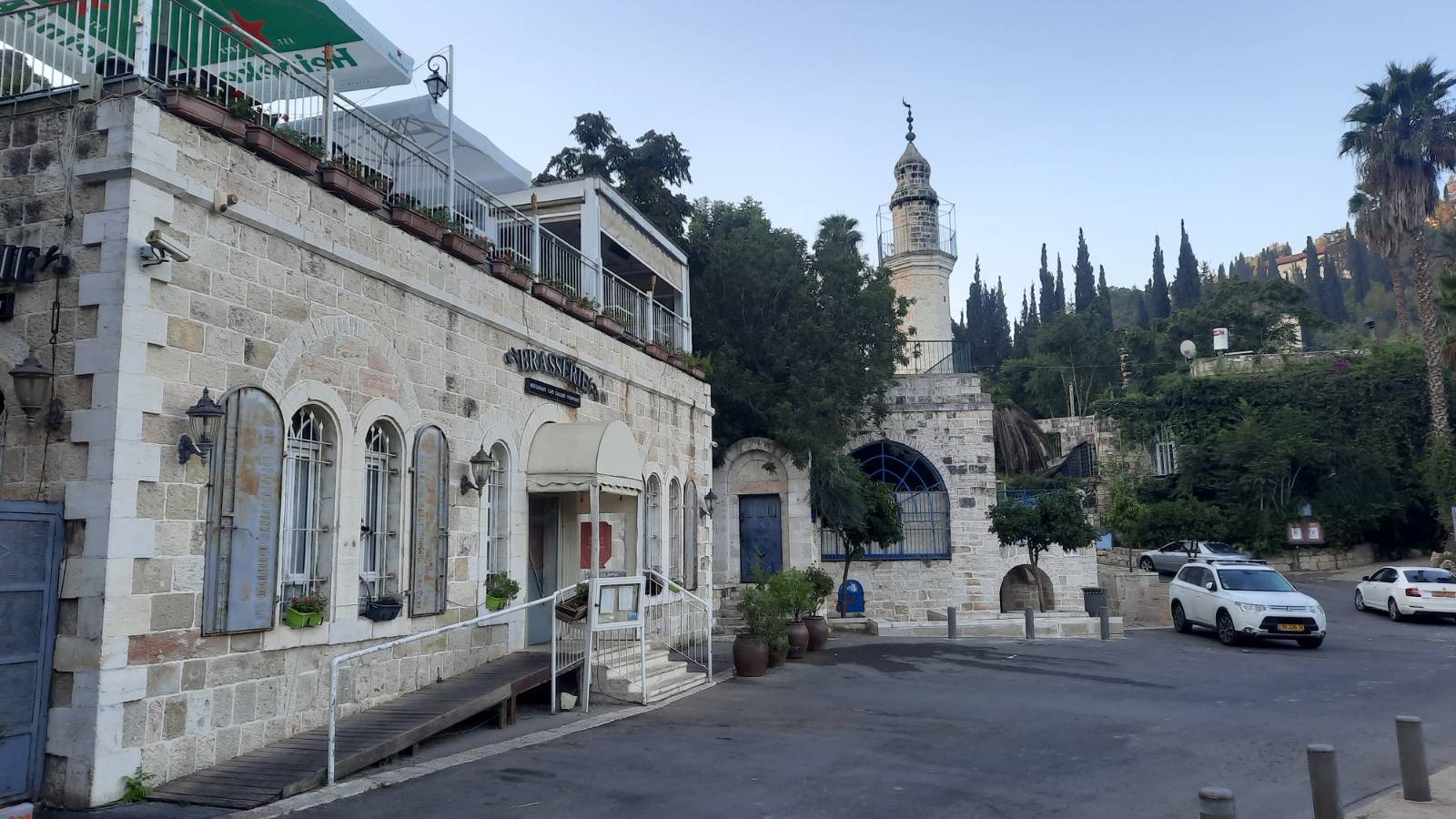
We began walking at 6:55 am. We parked in the parking lot on Ha’Maayan St. right off Route 386. At this time of morning, there were a few parking places left but Ein Kerem is HUGELY popular for both locals and large groups of tourists, especially on Fridays, and it fills up fast. After you park, walk down Simtat HaMa’ayan towards Mary’s Spring (also called Miryam’s Well).
Across the street from Mary’s Spring are some stairs with blue handrails. This is where we chose to start the loop. Spot the green trail marking!
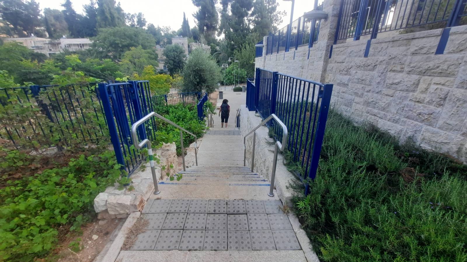
You will stay on the green trail for this entire loop and for a portion of it, the green trail and the Israel National Trail overlap – meaning you will see the green trail markings alongside the white/blue/orange markings of the INT. Just stick with the green.
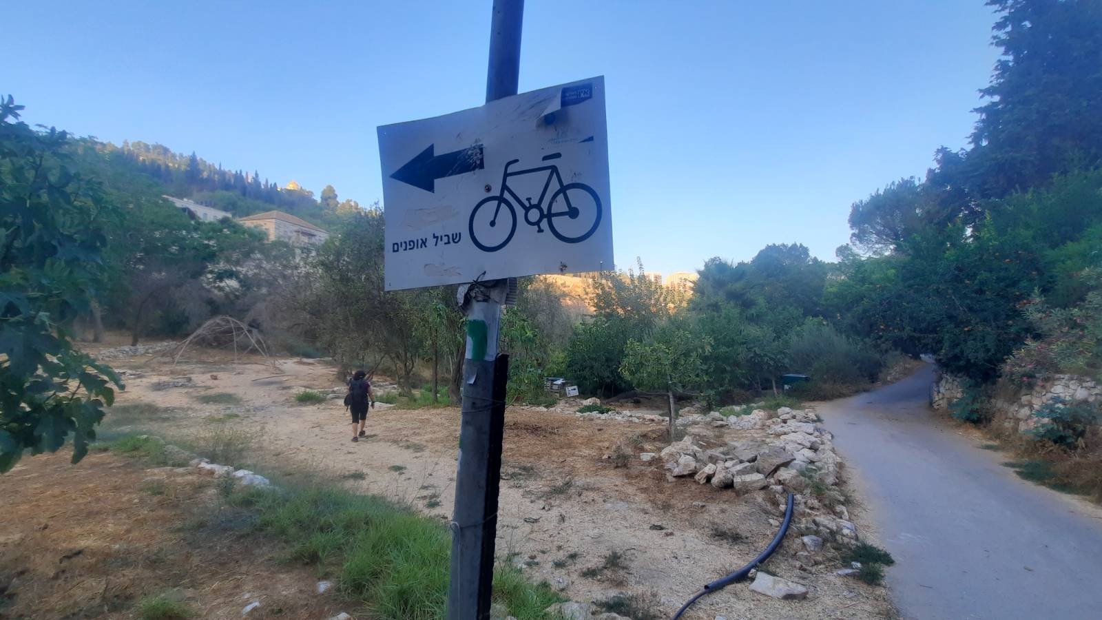
At the end of the stairs, make a left onto this path and just a short distance down you will see a bicycle path sign where you make a left and almost an immediate right.
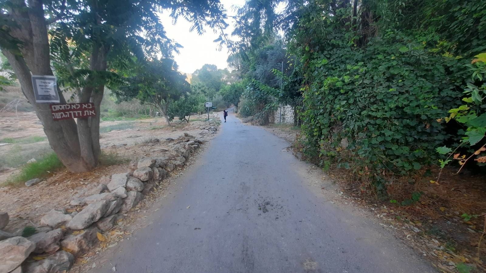
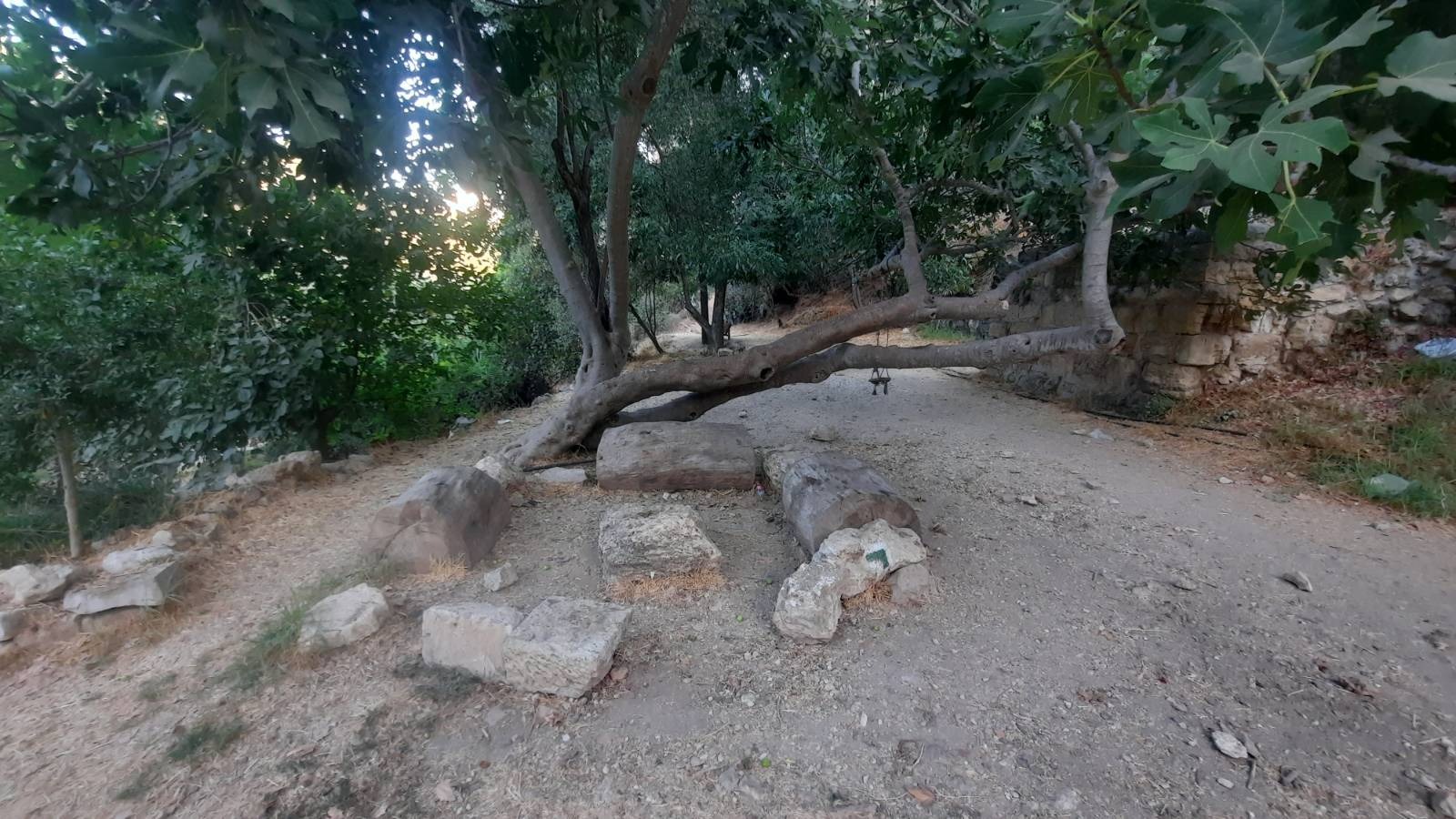
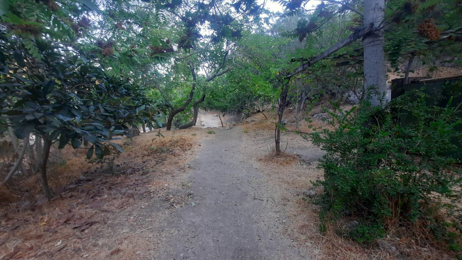
Now you begin an easy descent into what they call a “bustan” which literally means “orchard” although it wasn’t like any orchard I’ve ever seen. There were magnificent, massive, shady fig trees and grape vines and probably the ubiquitous olive trees although they are so common here they kind of don’t register any more on my radar.
Sadly, judging by the amount of litter we saw, this bustan was clearly a very popular hang out spot. The cool, leafy shade was incredibly cosy and inviting and provided some relief from the last humidity of the summer (I hope). It made you WANT to linger.
There was evidence in many places of bonfires and a few hammocks strung up under the trees in a few places on either side of the path as we descended. One bonfire had been recently abandoned and was still smoking as we walked by.
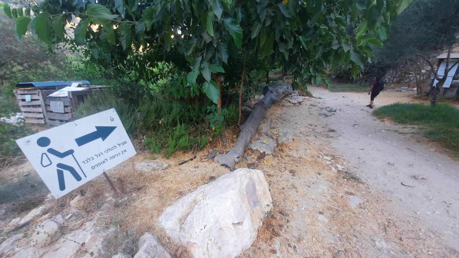
The trail markings down through the bustan were a bit confusing. Sometimes you had to actually turn around and look backwards to find them painted on a stone. But you can’t get lost. Just follow the israelhiking map app and you’ll be fine.
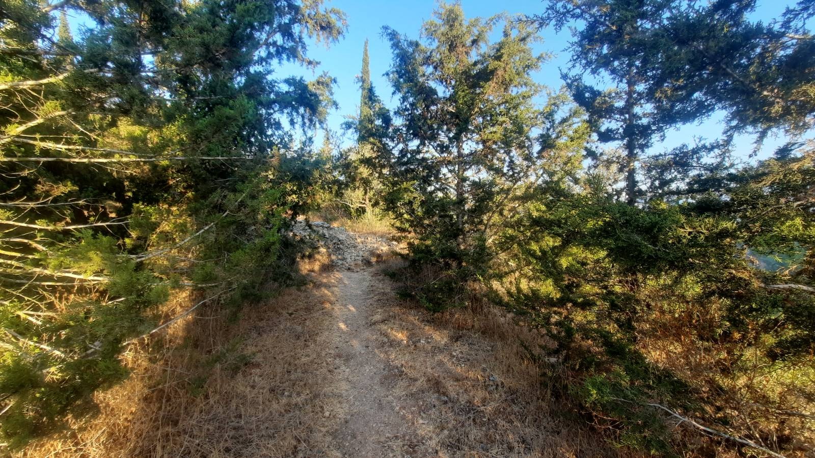
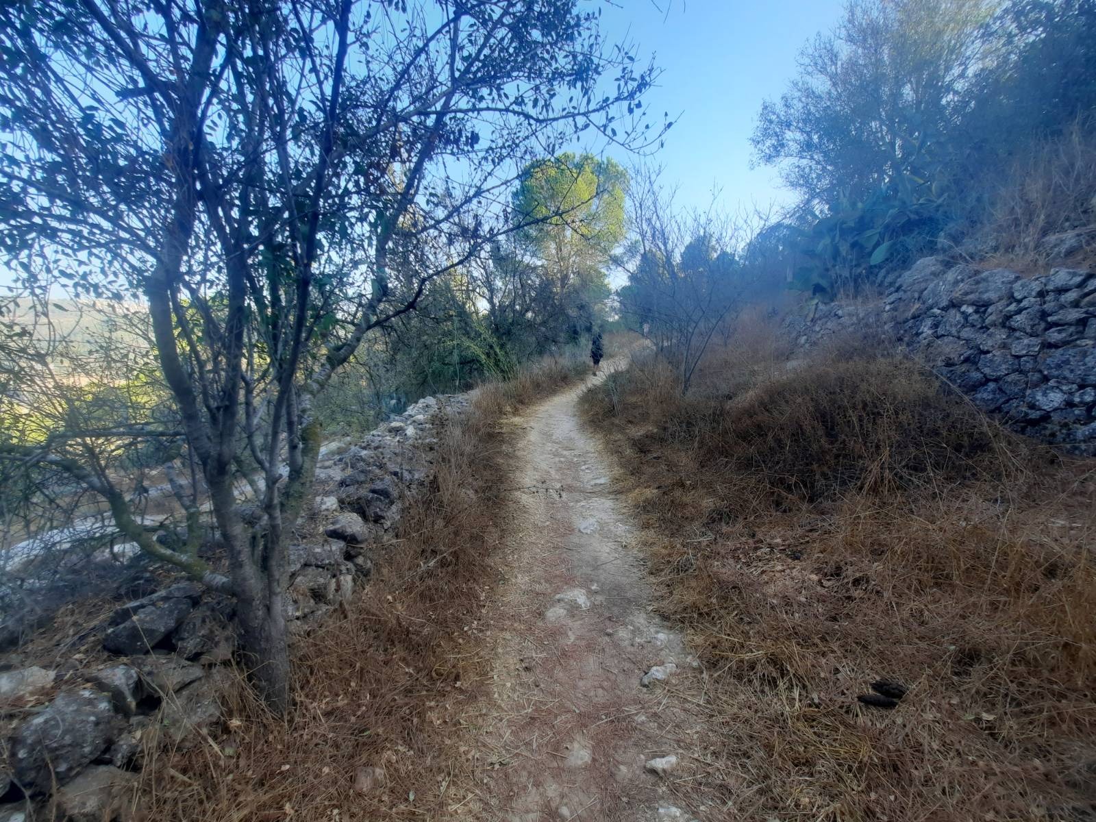
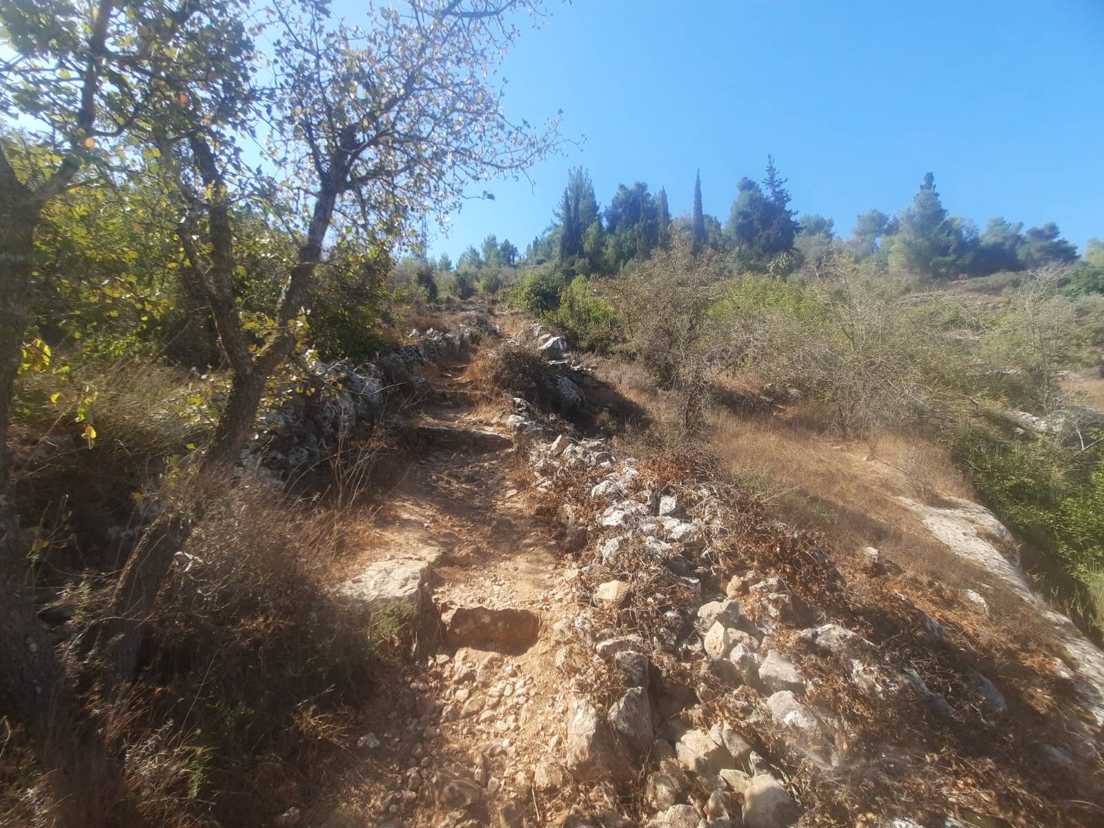
After you come through the bustan, you make a left onto a paved path and almost an immediate right that does climb a bit. Sometimes there are rough stairs.
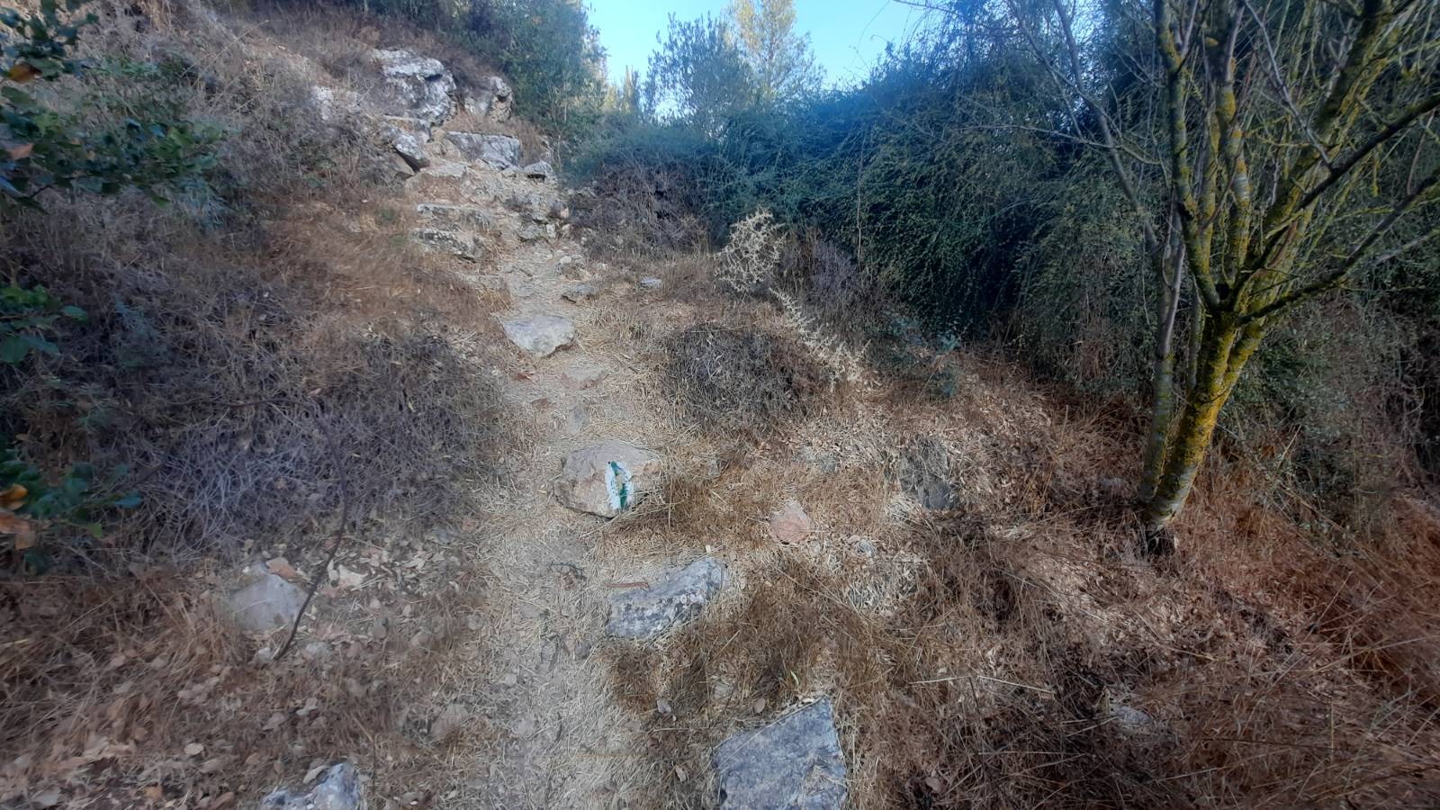
Sometimes you are scrambling up or down over loose stones.
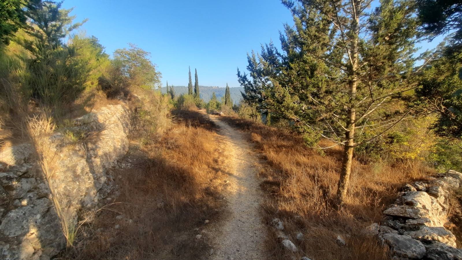
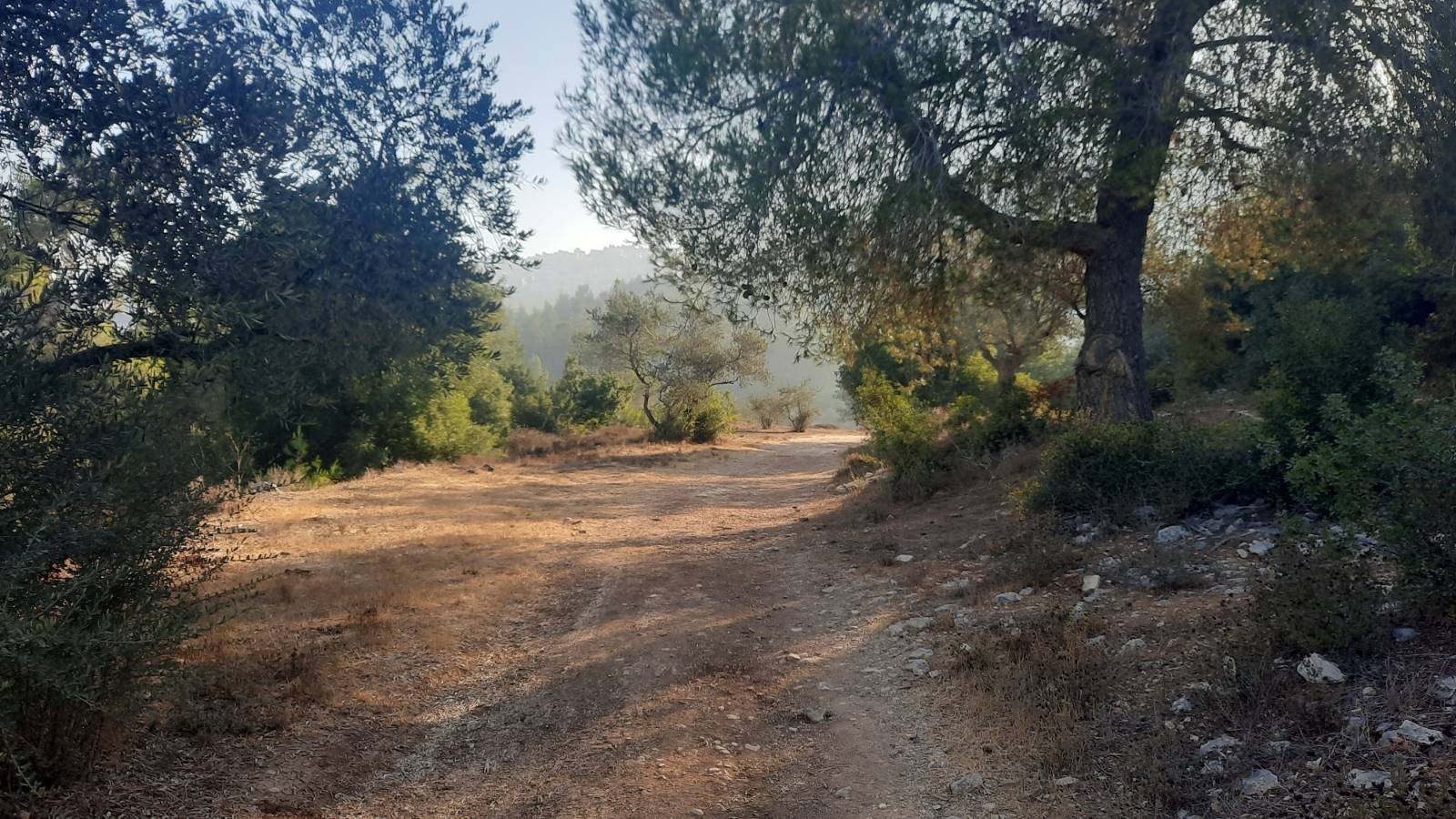
Love that early morning golden glow!
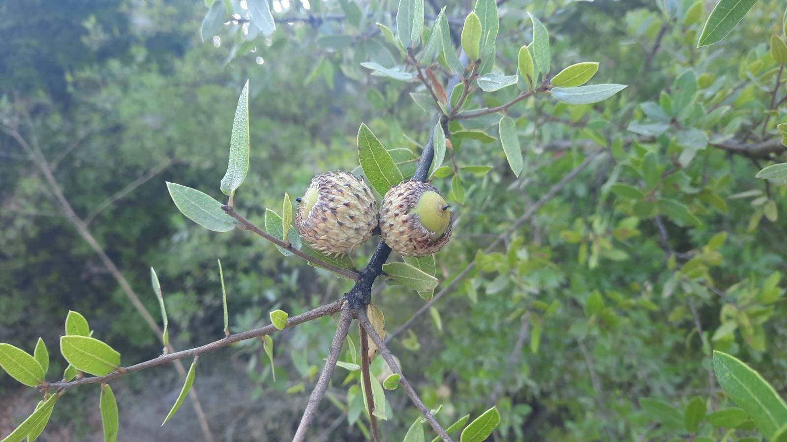
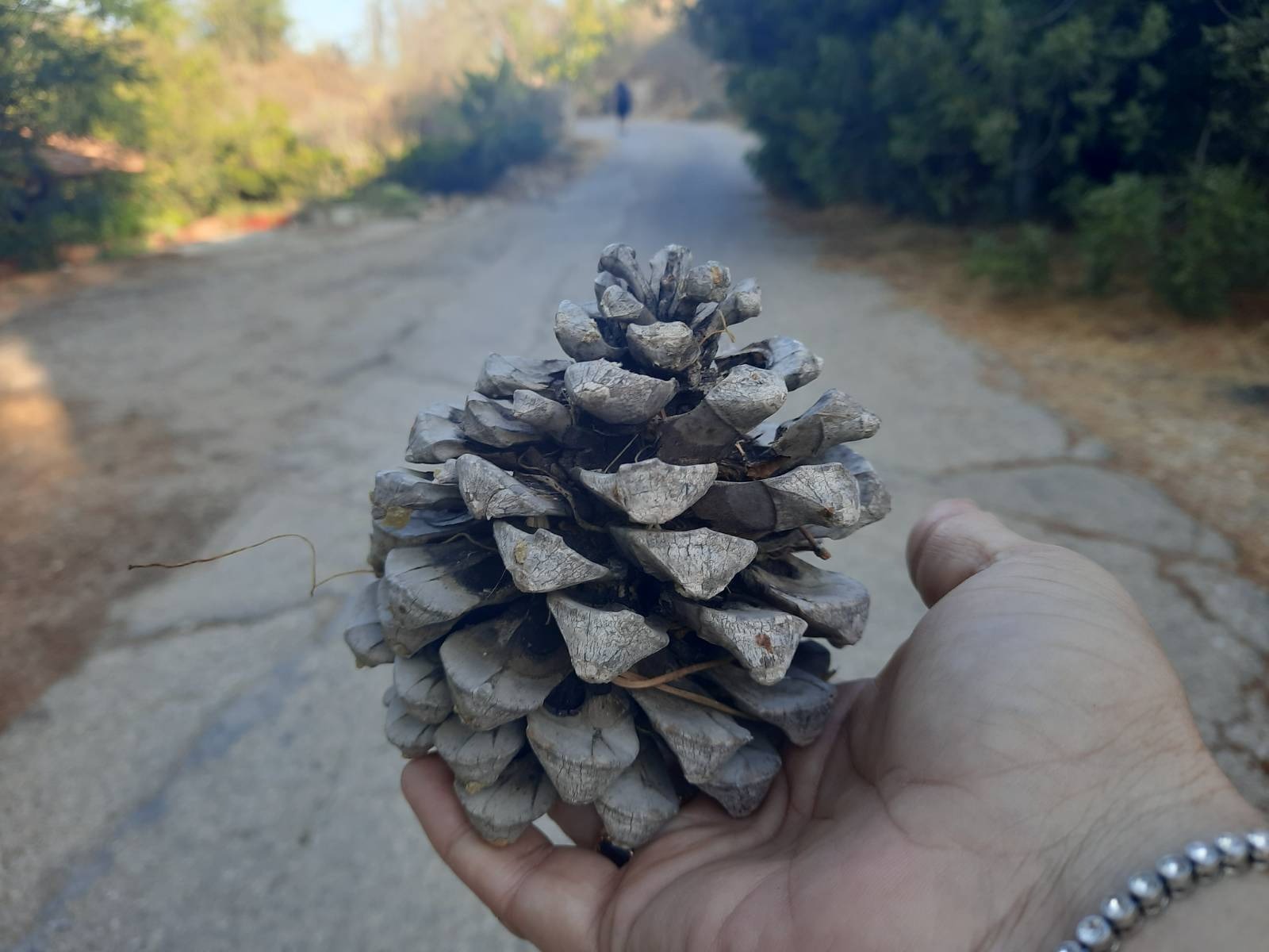
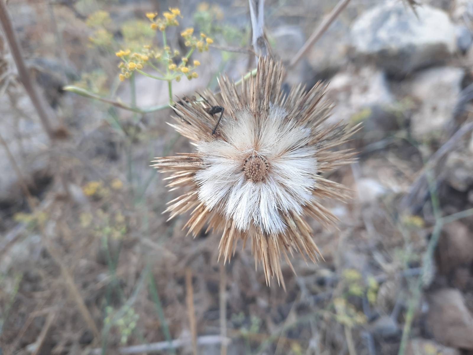
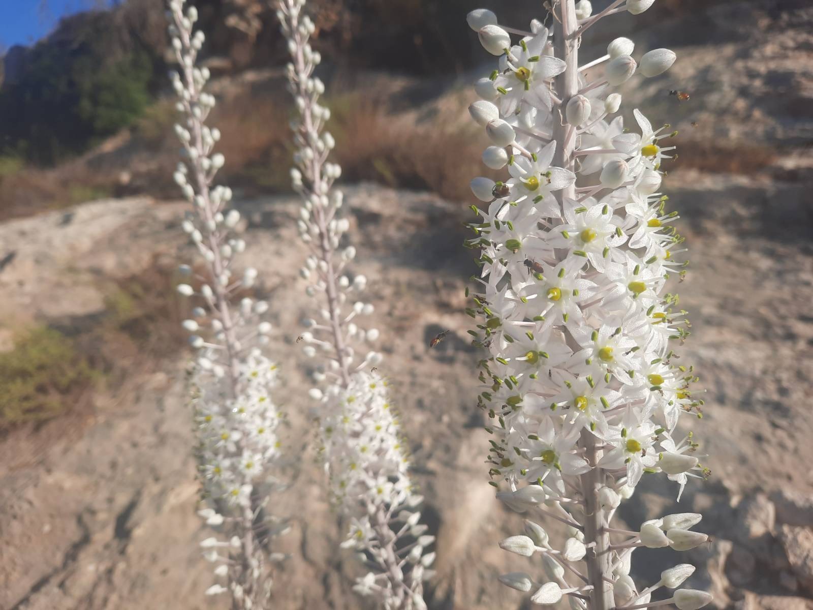
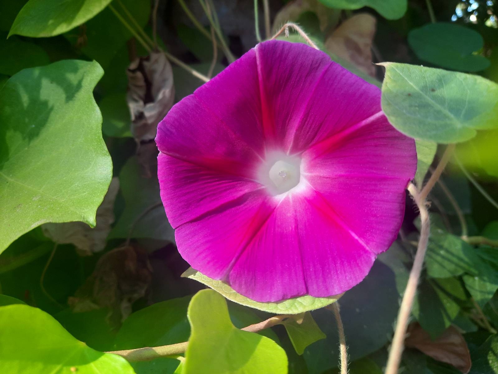
Some of the natural treasures I found en route….
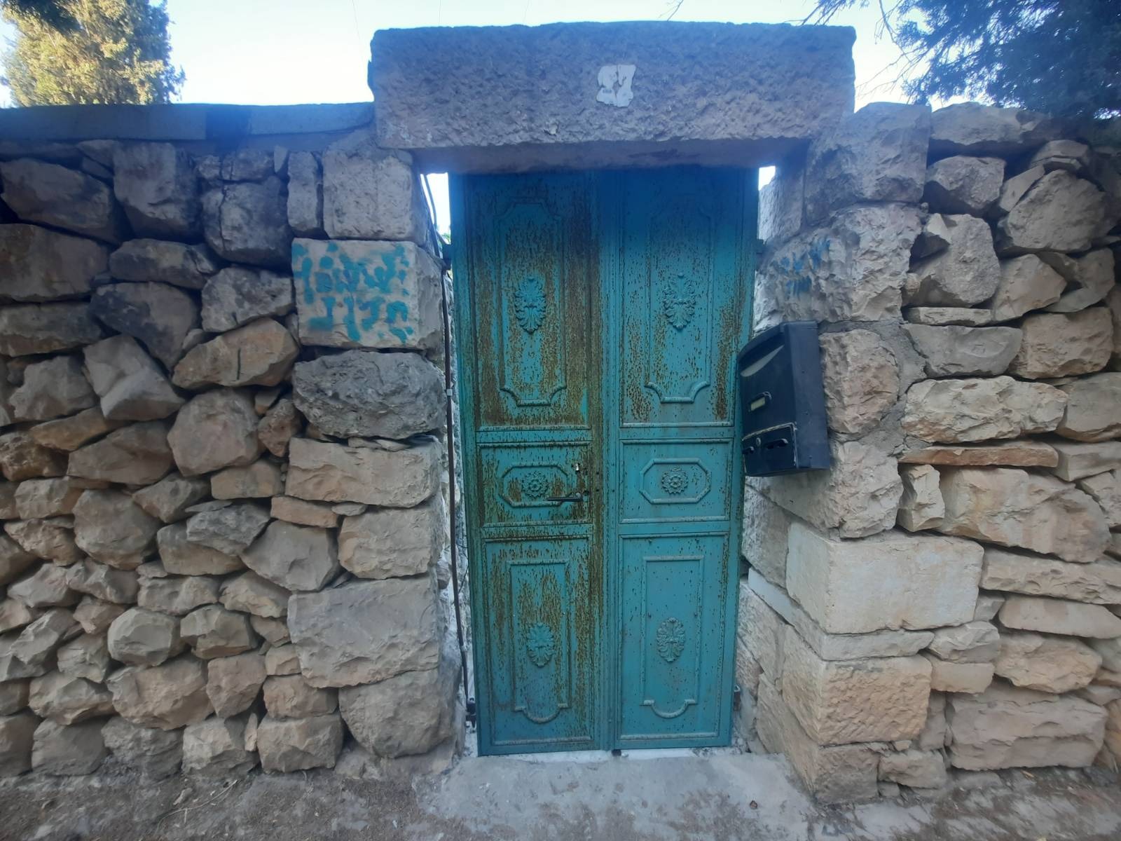
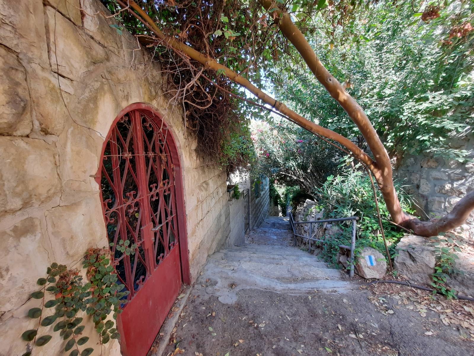
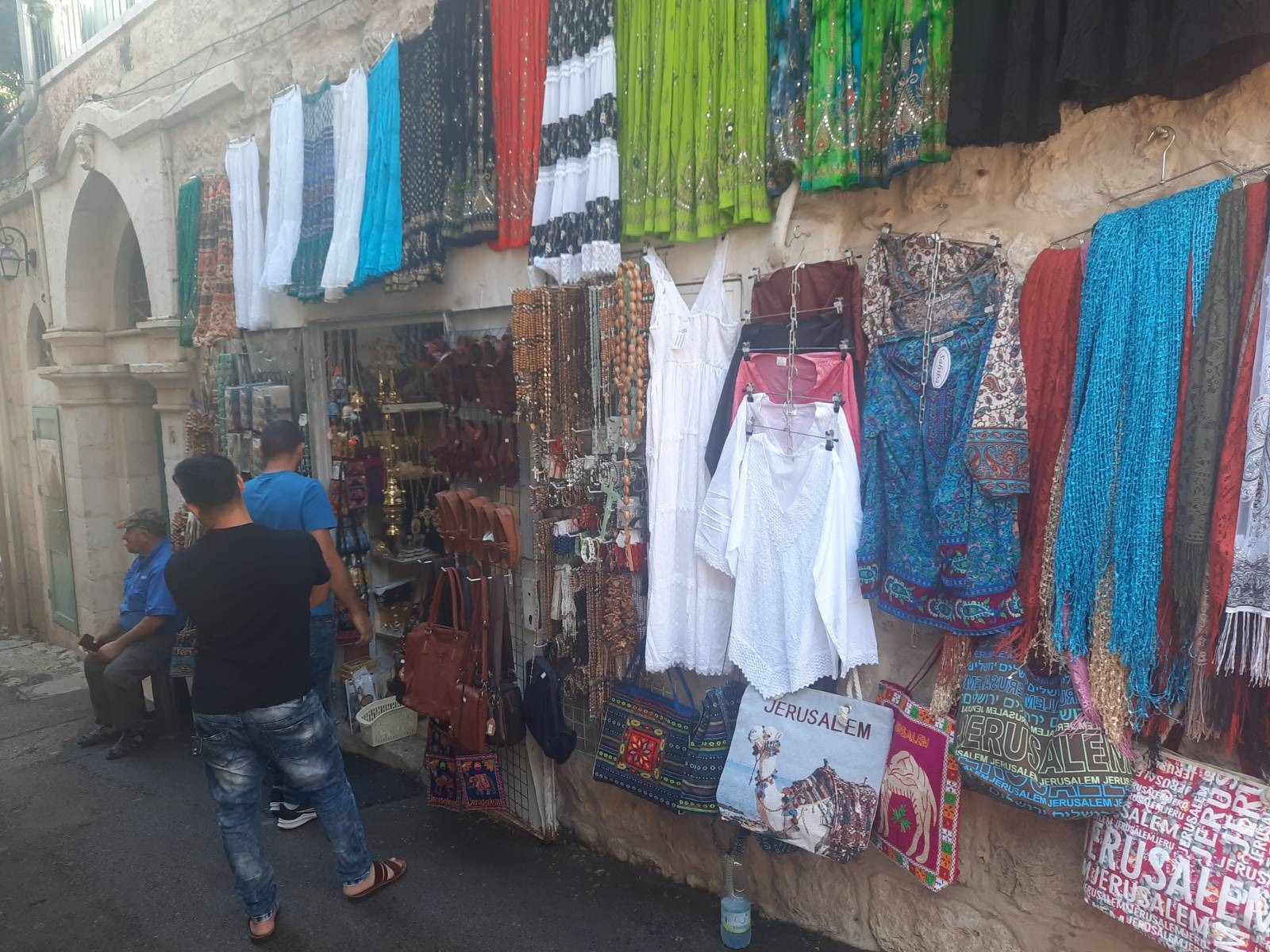
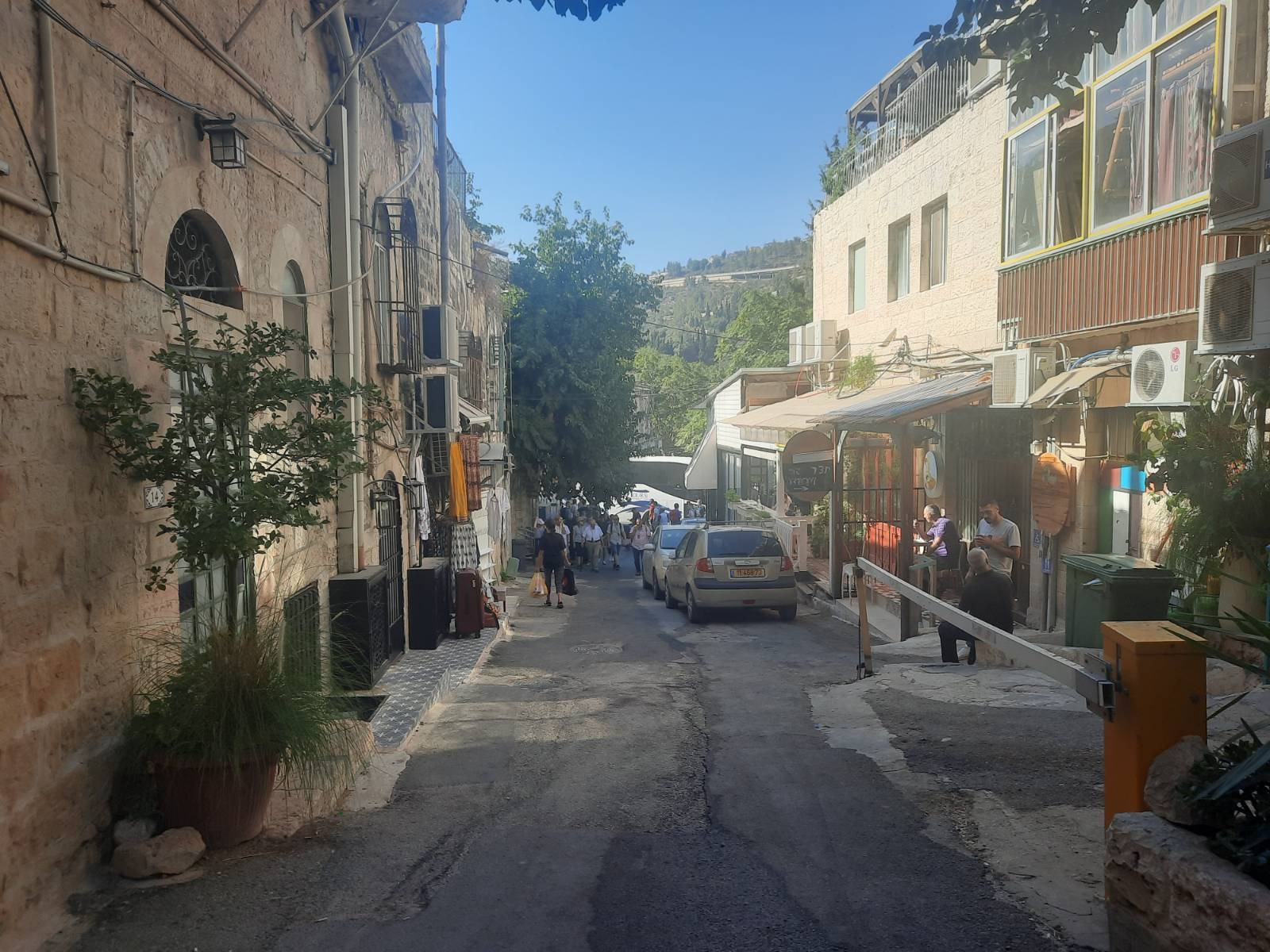
I guess you’d call Ein Kerem a suburb of Jerusalem. It’s a really small, charming and quaint village with some incredible examples of Arab-style architecture. It also has a very bohemian vibe with lots of artisan shops and cute cafes. The homes sit on the two terraced sides of a wadi (narrow valley or dry river). It was incredible how near we were on this hike to civilization and yet out in nature, essentially hiking through the hills in the backyards of these homes.
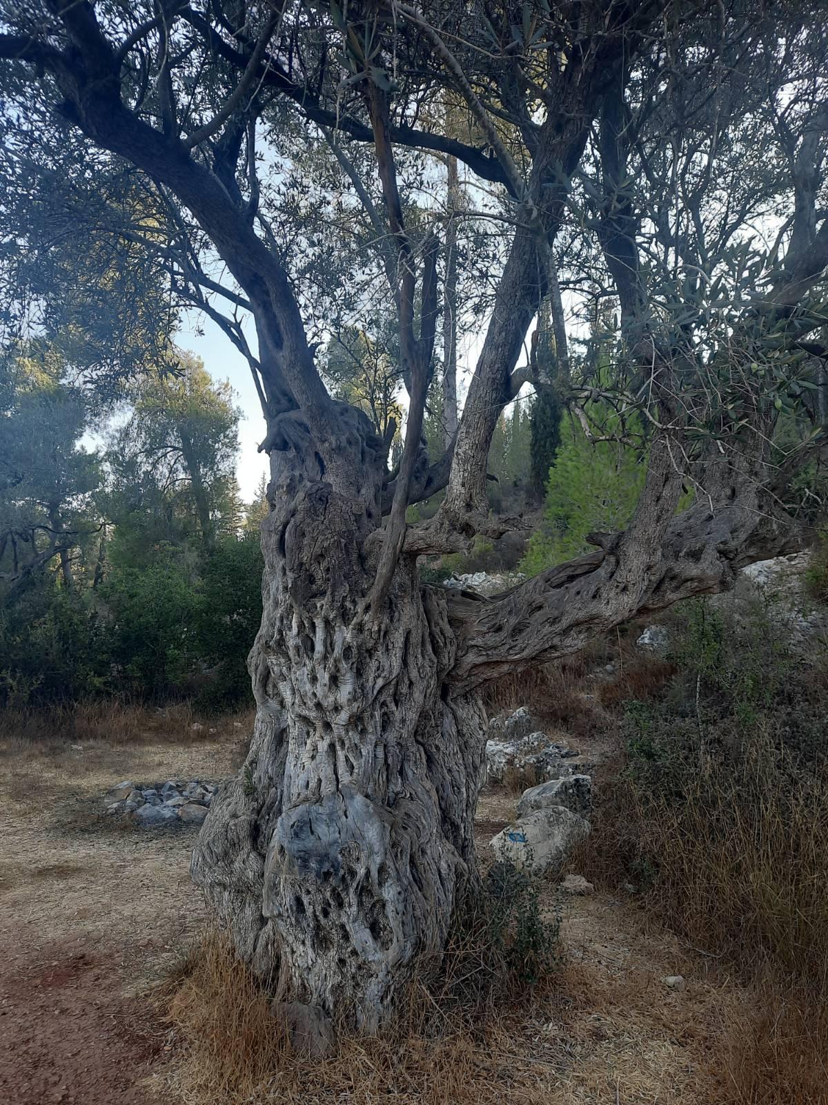
I said olive trees are so ubiquitous that they don’t register on my radar. Well. I lied. We came upon this ggggg-grandfather olive tree and I couldn’t NOT take a picture.
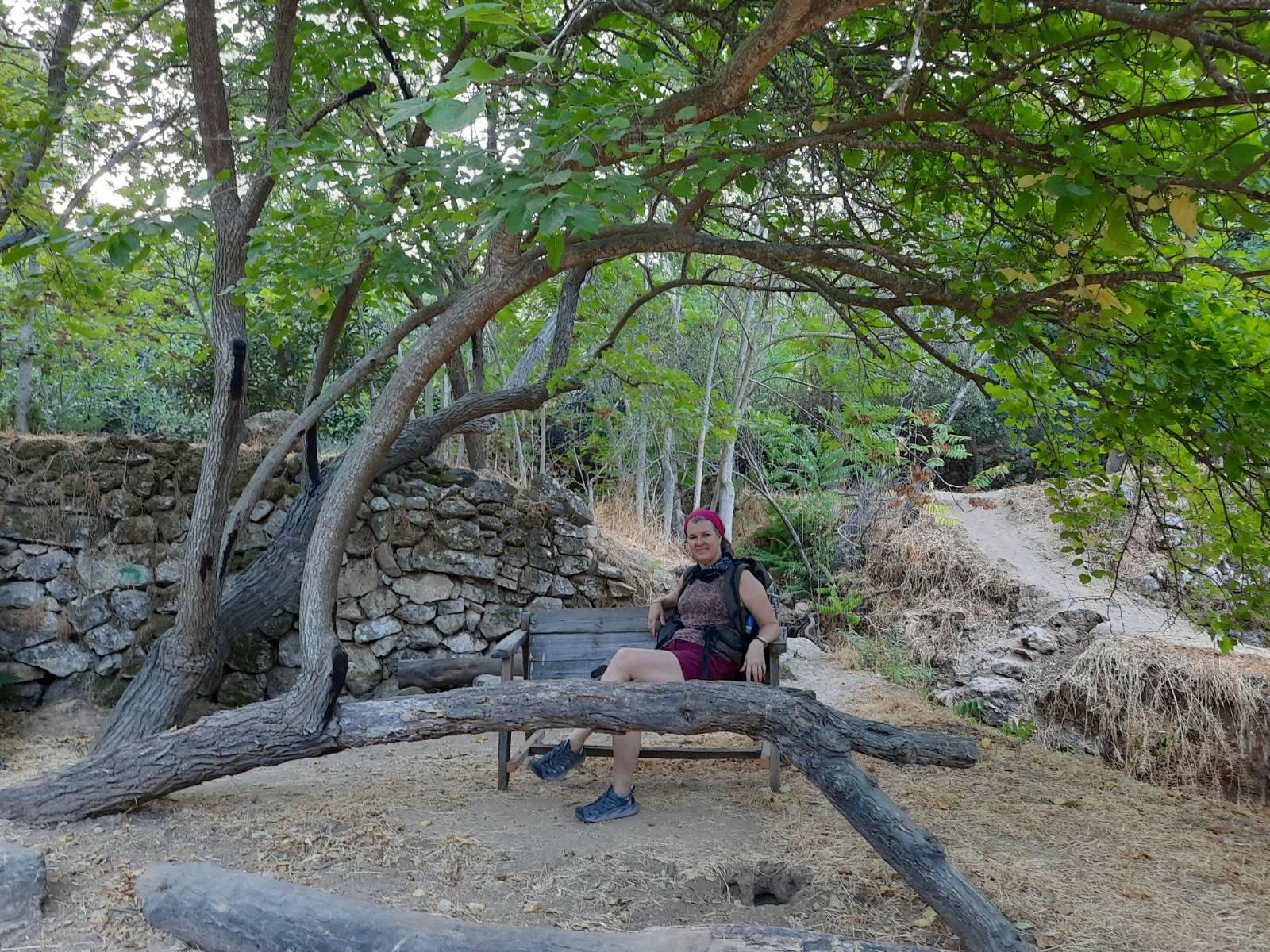
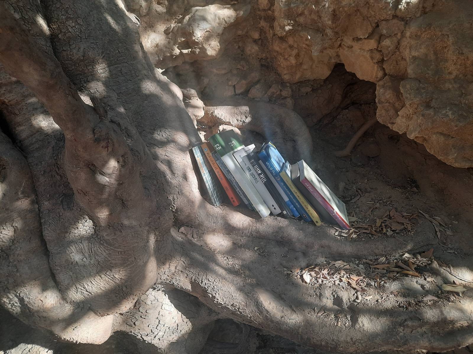
At around the half way point of the hike, you will come to a massive carob tree with a rough bench underneath and a view looking down into the yards and and onto the rooftops of Ein Kerem. It’s wonderful to stop here in the shade for a rest and a snack.
Someone had turned one of the roots of this tree into a give/take library.
Eventually you will leave the grass and trees and stones and come down into Ein Kerem itself.
Ein Karem was an important Jewish village during the late Second Temple period, during which it became important to Christianity.
Christian tradition holds that John the Baptist was born in Ein Karem, following the biblical verse in Luke saying John’s family lived in a “town in the hill country of Judea”. Probably because of its location between Bethlehem and Jerusalem, this location was a very comfortable one for a pilgrimage, and this led to the establishment of many churches and monasteries in the area.
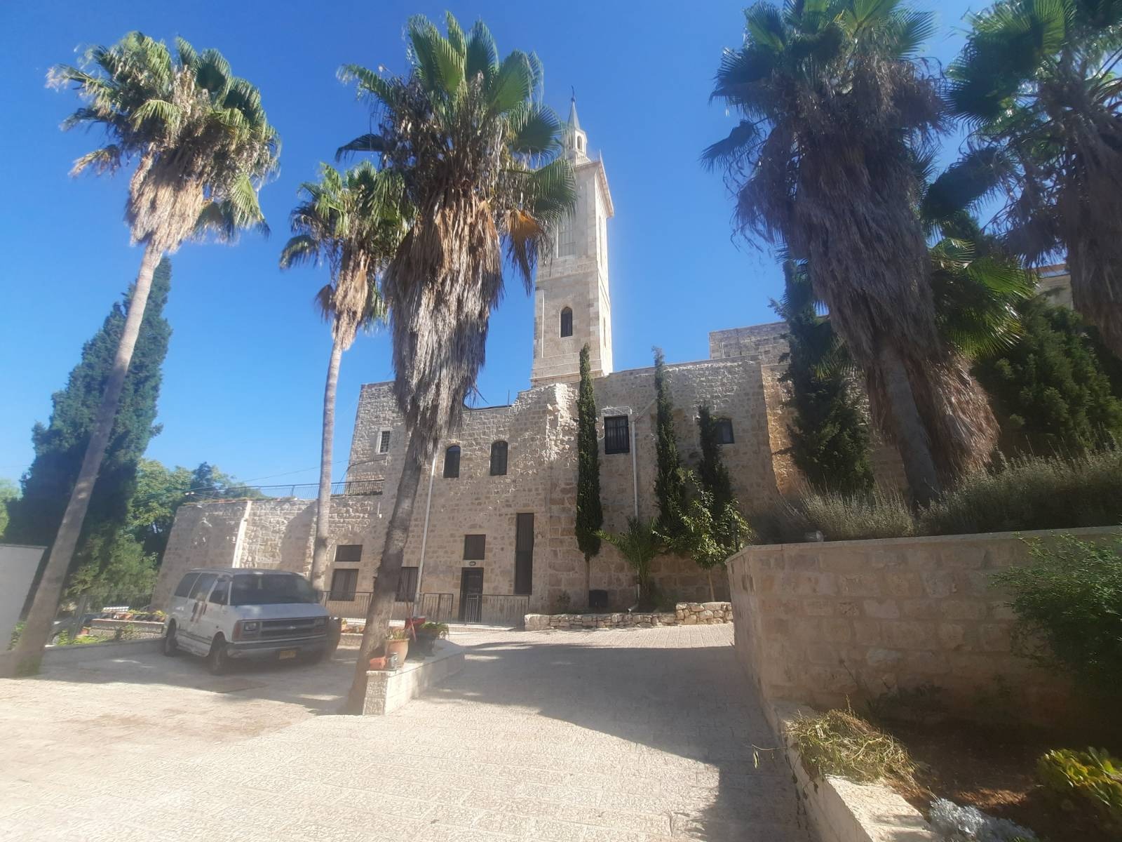
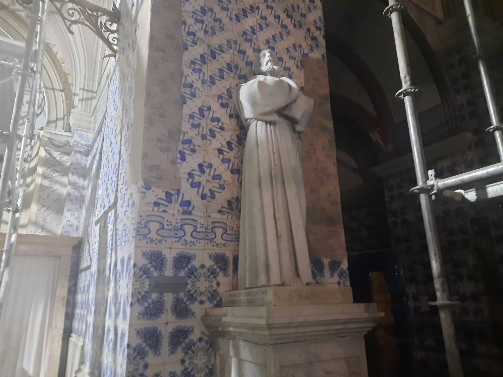
Church of St. John the Baptist.
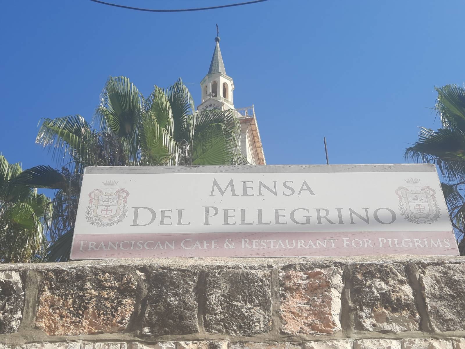
Speaking of pilgrims, are WE pilgrims?
We went inside to have a peek and discovered a statue of, presumably, the great man himself. 15th century robes and all. 🙂
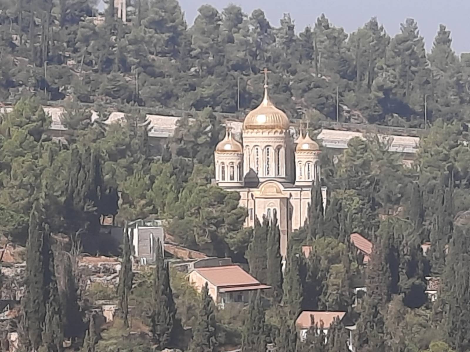
At a number of places all along the trail, you could look across the valley at the compound of the Russian Ecclesiastical Mission Gorny Convent with its golden domes. Here’s what Rav Google had to say about it: “In 1871, Archimandrite Antonin bought two houses and an extensive olive tree plantation in this place, and then, having expanded the site by purchasing adjacent land, he built a shelter for Russian pilgrims. The first stone temple of the monastery was consecrated on March 30, 1883. The community received the status of a monastery by the Resolution of the Most Holy Governing Synod No. 2699 of July 24, 1898.”
They lost me at “Archimandrite Antonin”.
While you are in Ein Kerem you have a few decisions to make. 1) End the hike here and call it a day? 2) Coffee now or later? The trail continues on but loops you back almost to this same place. Having said that, the continuation of this trail is fairly strenuous with virtually no shade. We pushed on. Up we go!
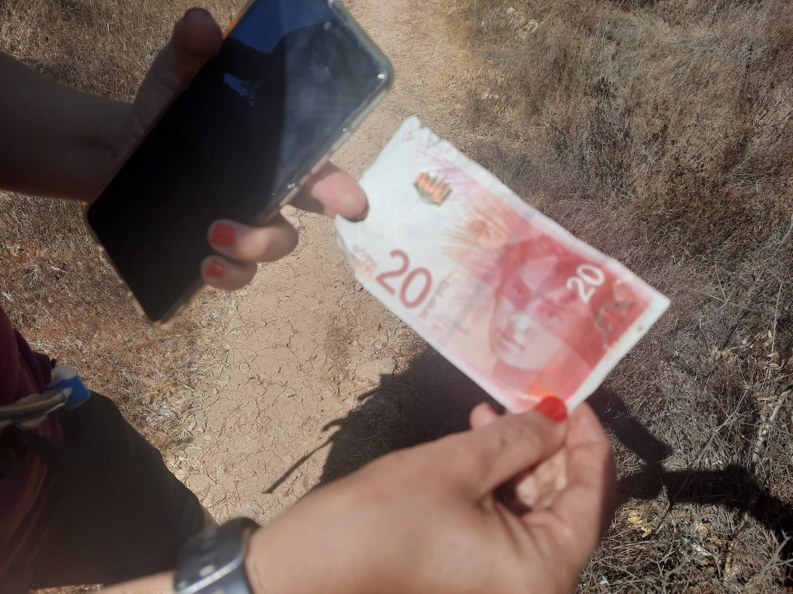
Lookeeeee what we found! Now wasn’t it fortunate that we continued this trail? This paid for 1.5 coffees at trail’s end.