
Route type: Circular
Difficulty level: Moderate
Distance: 7 km
Waze to start/end point: 31.792154, 35.044989
Notes:
- Good for dogs
On this particular Friday, our original plan had been to visit the Nahal Prat Reserve in the Maale Adumim area but on Thursday evening it started raining. The first real rain of the season, actually. It rained off and on all night.
After I had picked up my three hiking partners for the day, we were all sitting in my car at 8 am, ready to go, but decided to call ahead to make sure that Nahal Prat hadn’t been closed due to danger of flash floods. We were told it was closed!
I knew there was a more than 50% chance that this could happen so I had brought my laptop with me in the car. Fortunately, I keep a list of hikes that I hear or read about and want to do and was quickly able to pinpoint one in the Jerusalem hills that looked like it would suit the 4 of us. Talk about turning on a dime!
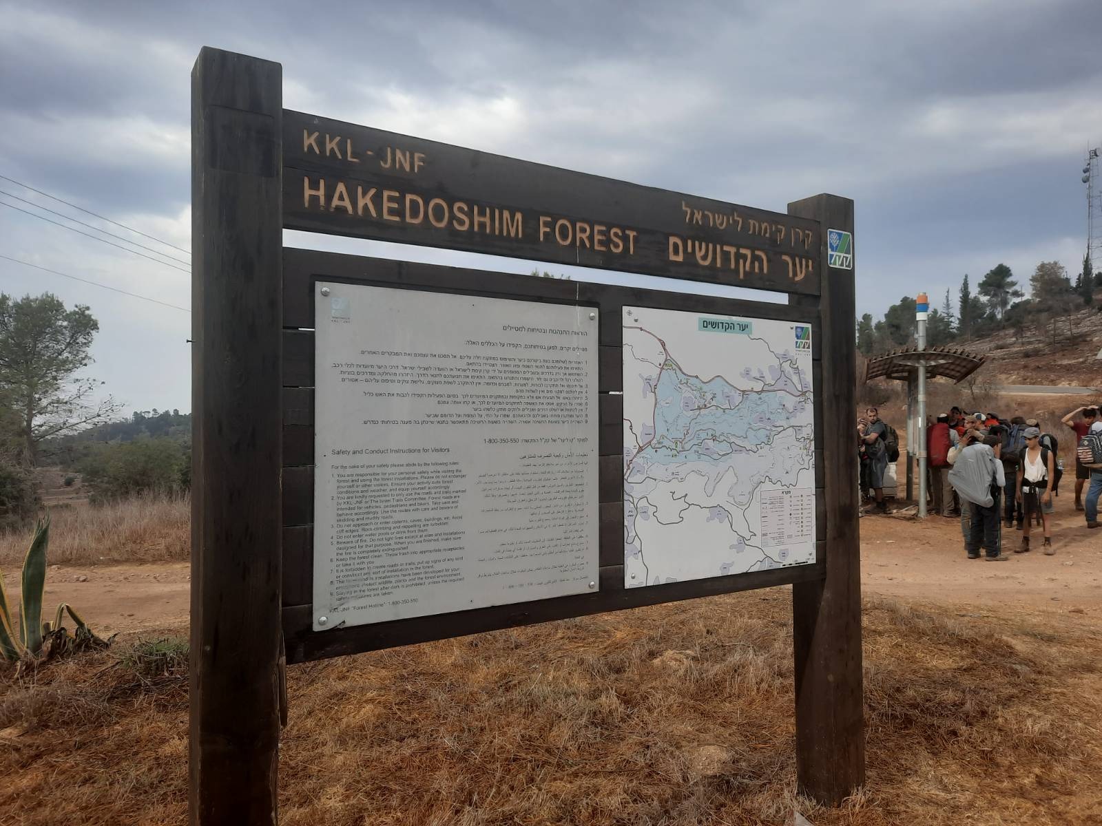
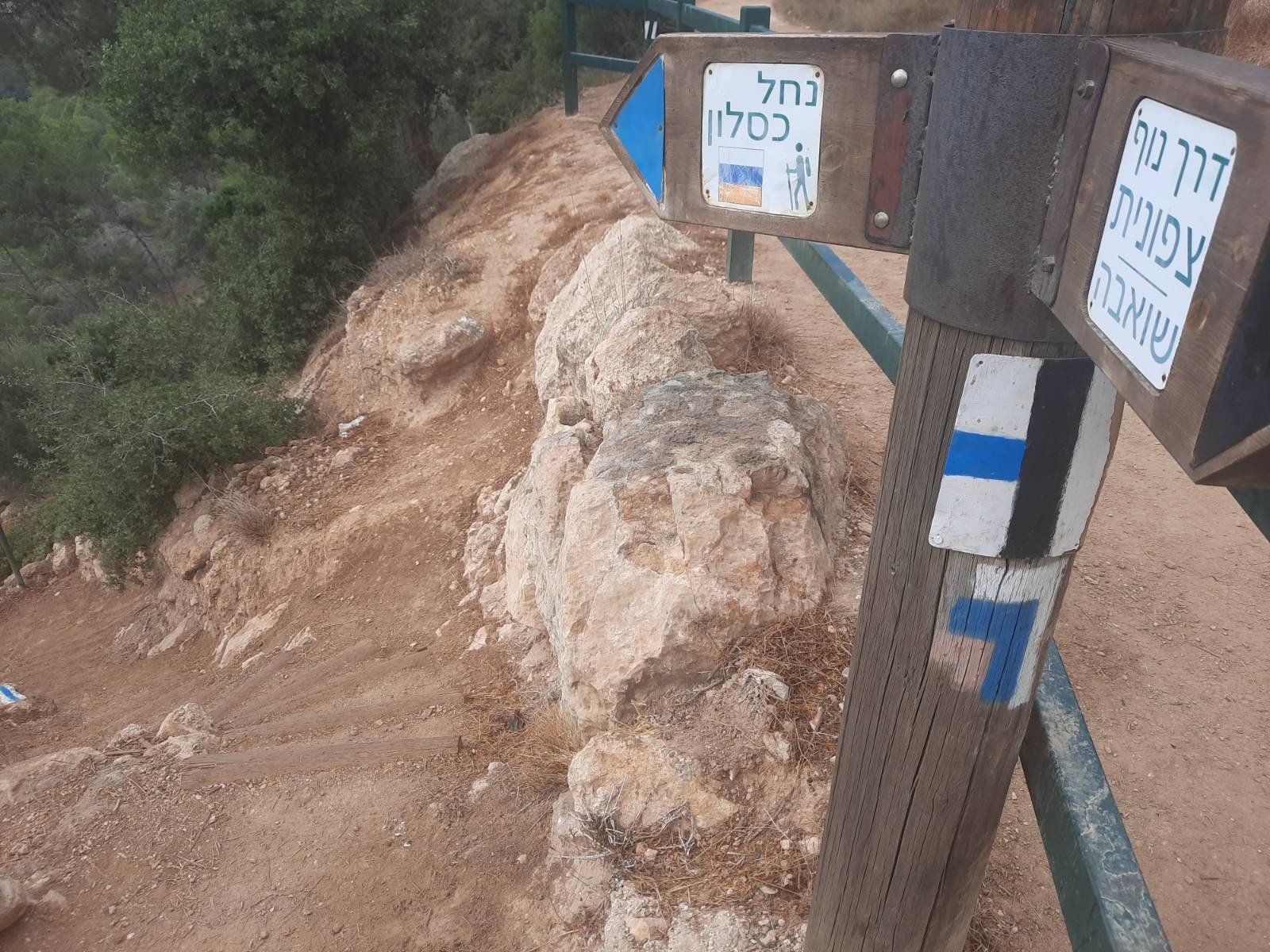
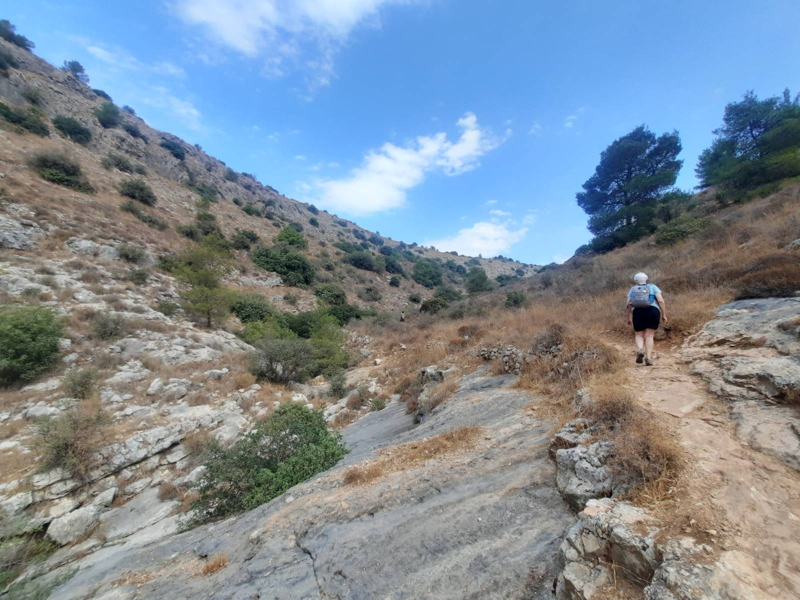
This route descends via Nahal Kisalon and ascends Nahal Carmila. Park by this sign and then from here descend Nahal Kisalon following the INT trail markings until you get to the paved road at the bottom.
As we set out, we felt a few sprinkles.
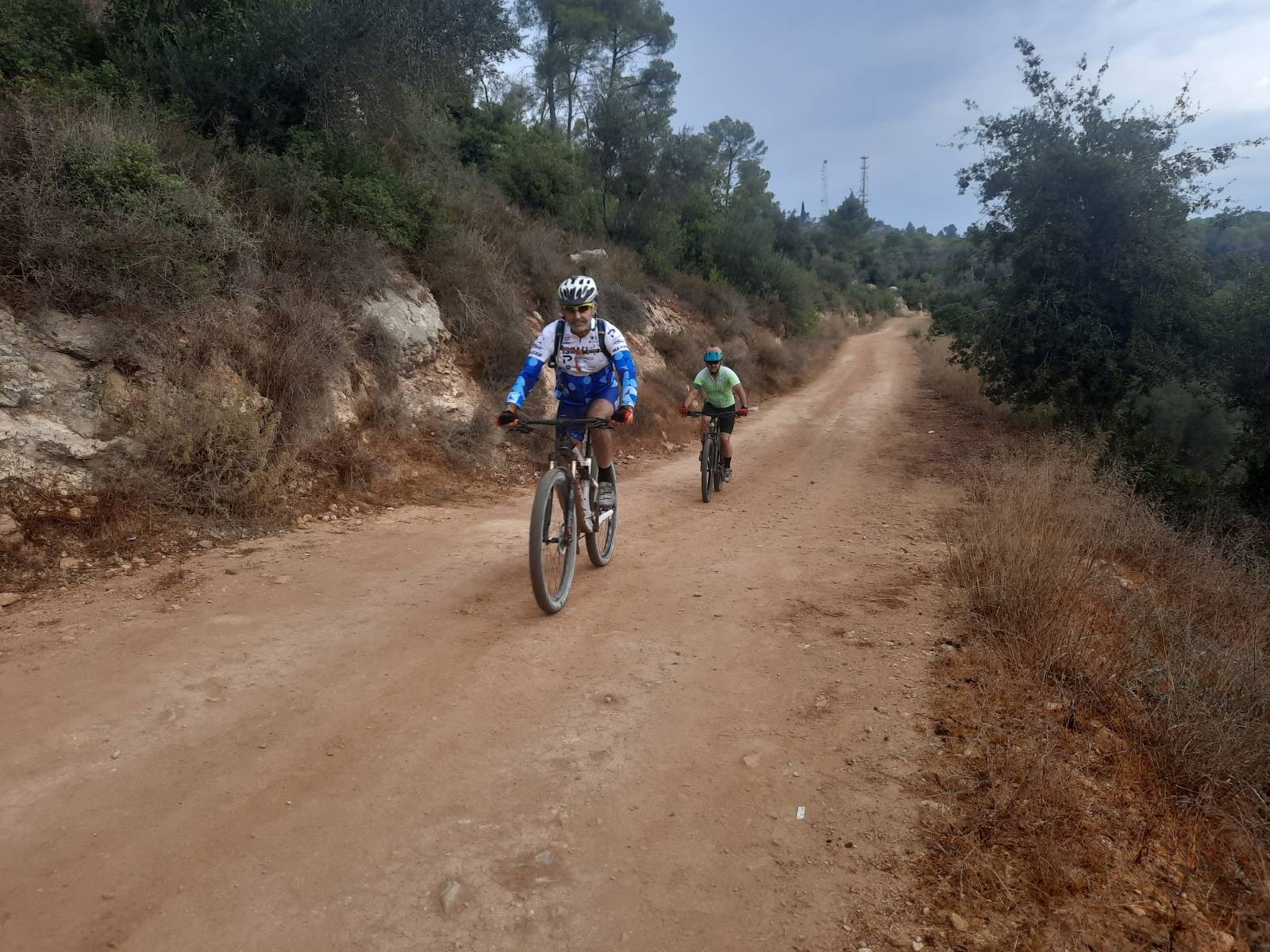
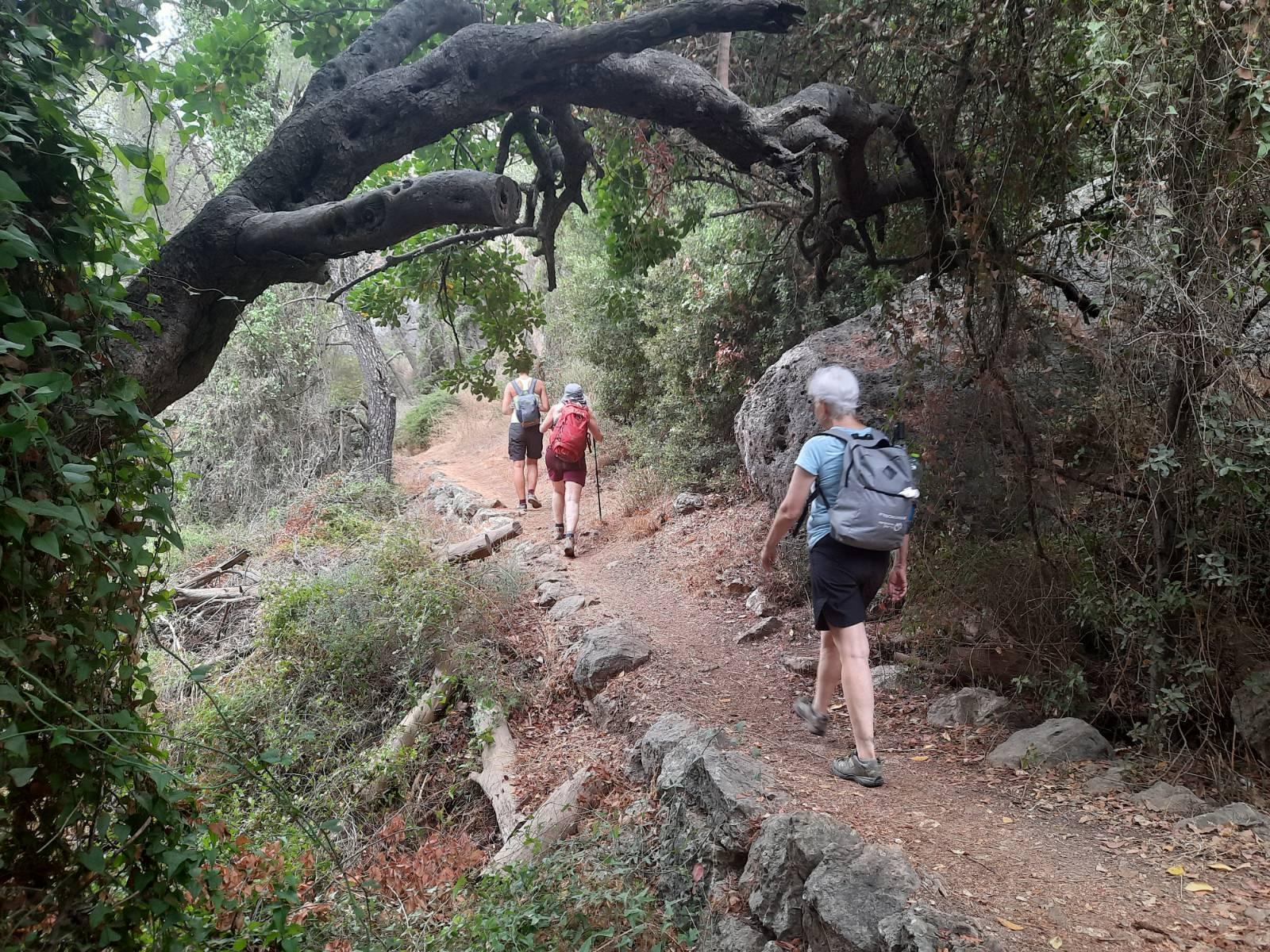
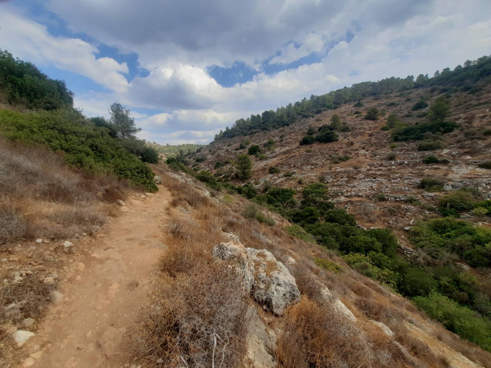
The beginning of the trail is popular with joggers, bikers and dirt bikers.
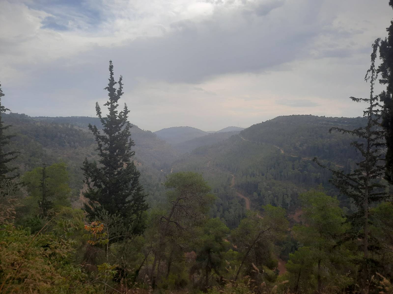
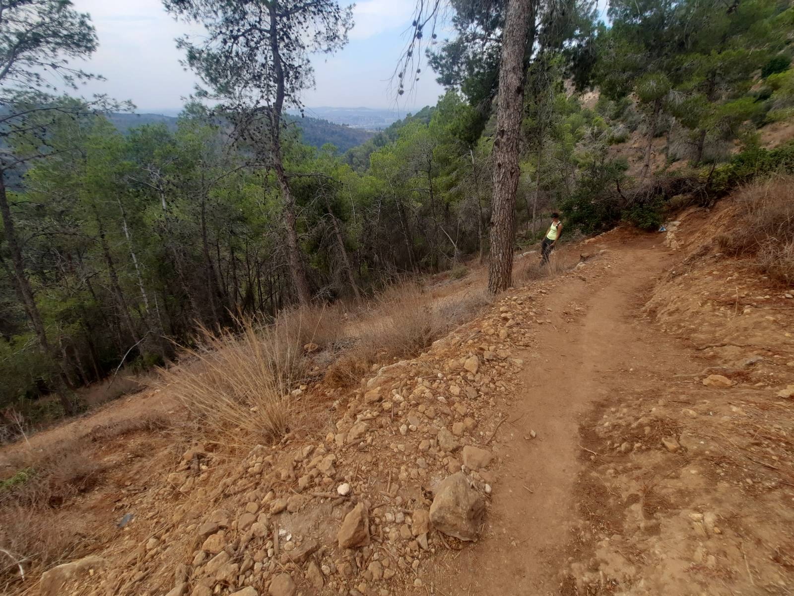
The views off the mountainside were fabulous.
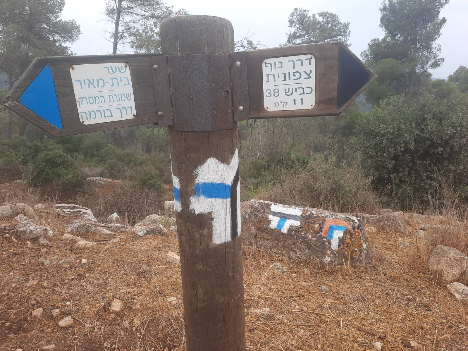
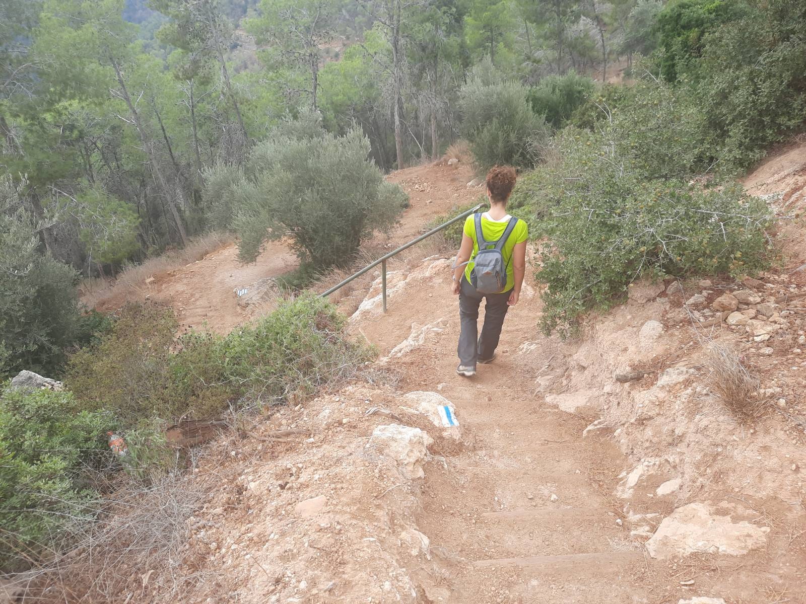
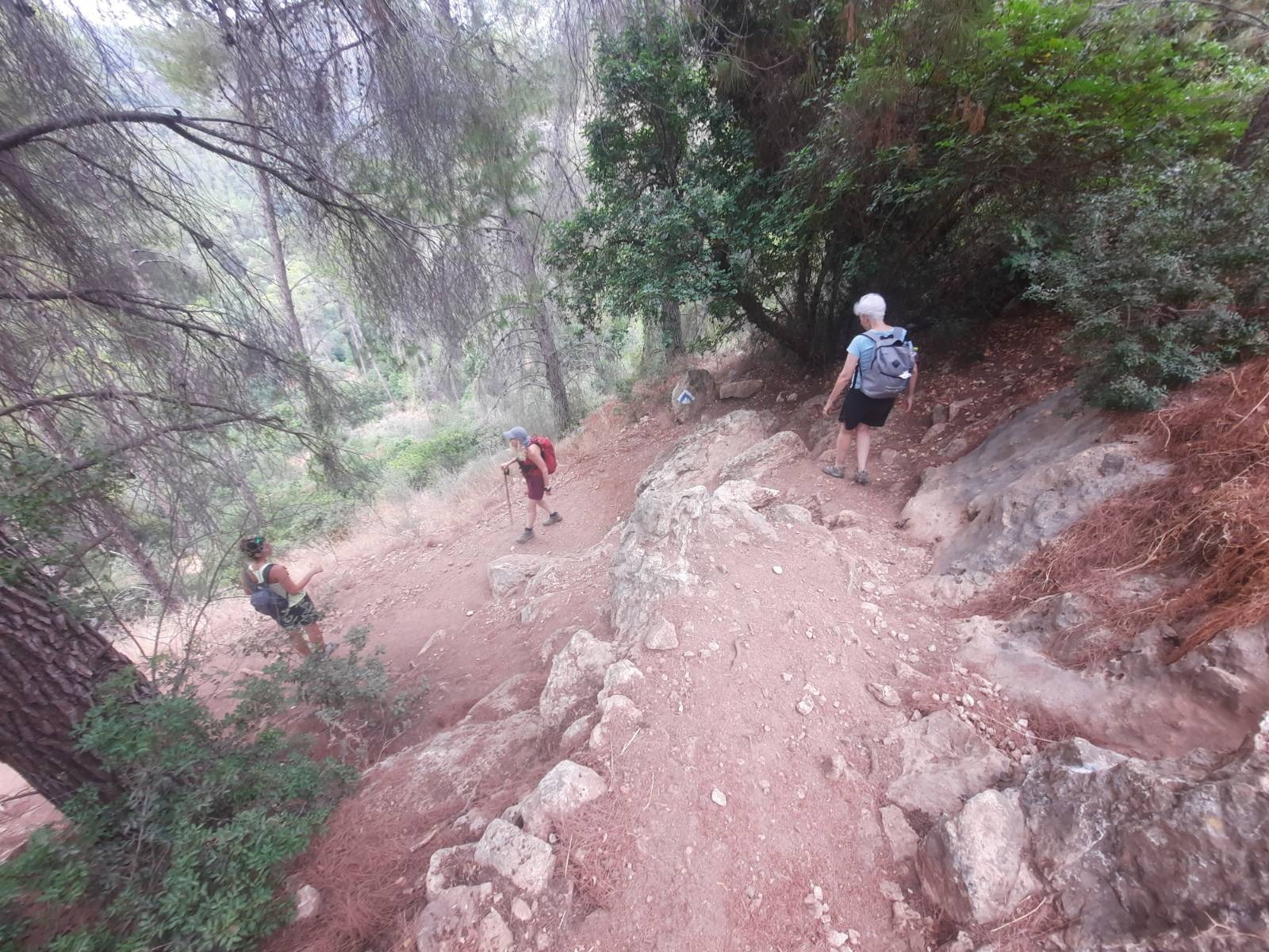
After 1.5 km, the INT trail markings indicate a left turn and you start your descent into Nahal Kisalon via some rough stairs. The path zigzags down a bit steeply in some places although there are no handholds or ladders.
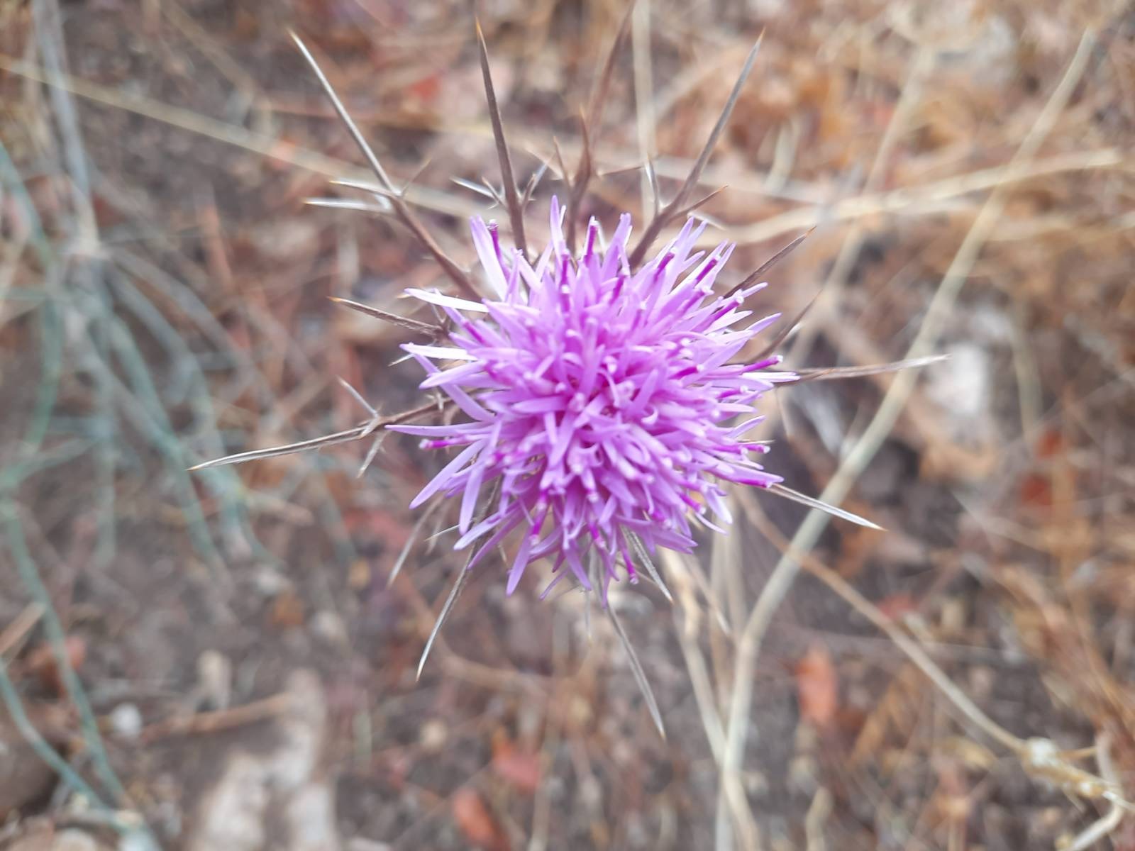
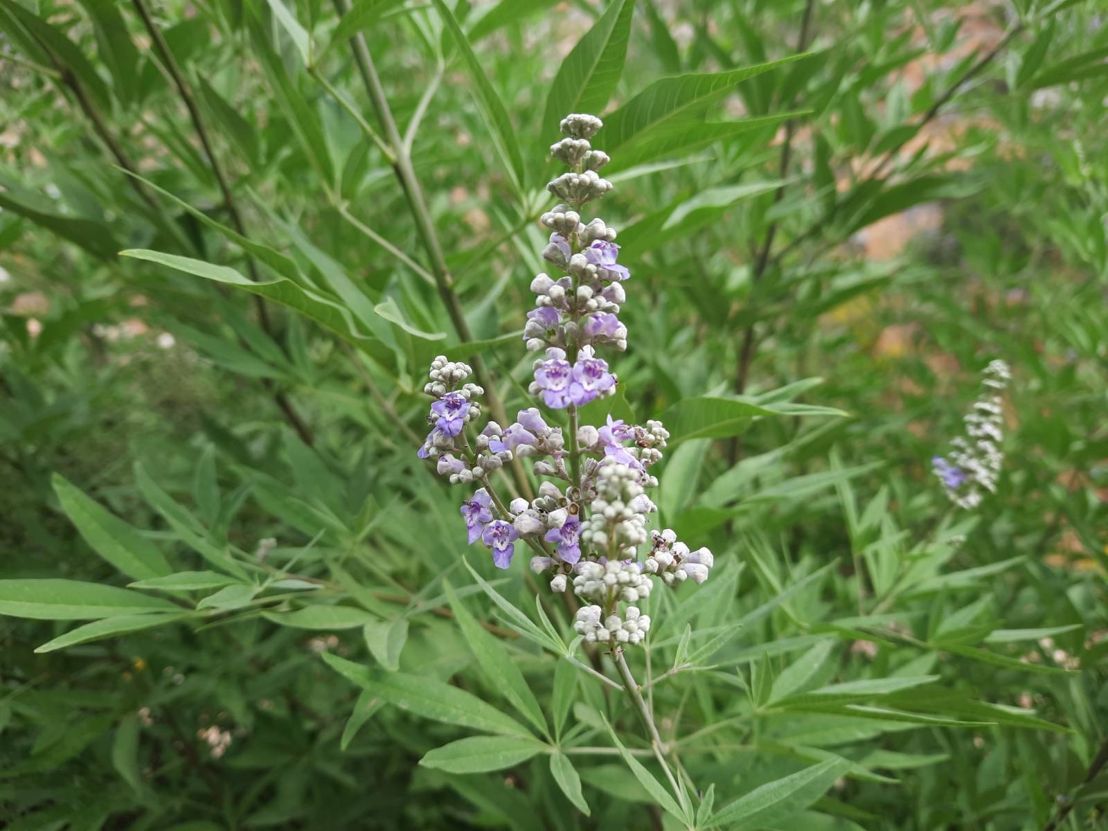
Even though we haven’t had any rain up until the evening before this hike, there were still some bright flowers that caught my eye on the descent.
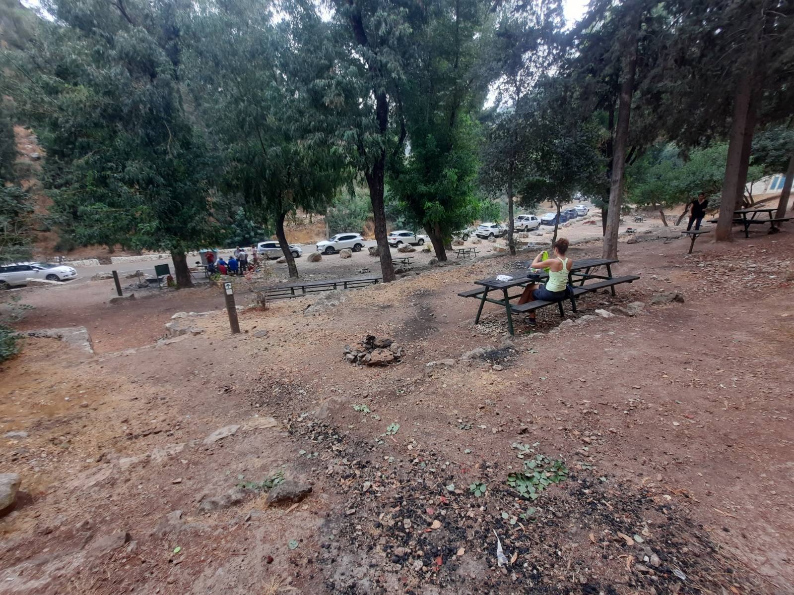
When you reach the bottom, you come out onto a paved road. Directly across there is a large area with picnic tables under the trees. This is the perfect place to stop for a rest and a snack.
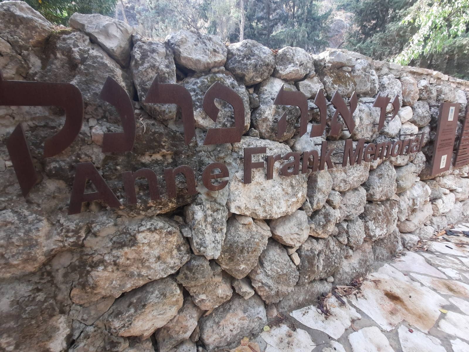
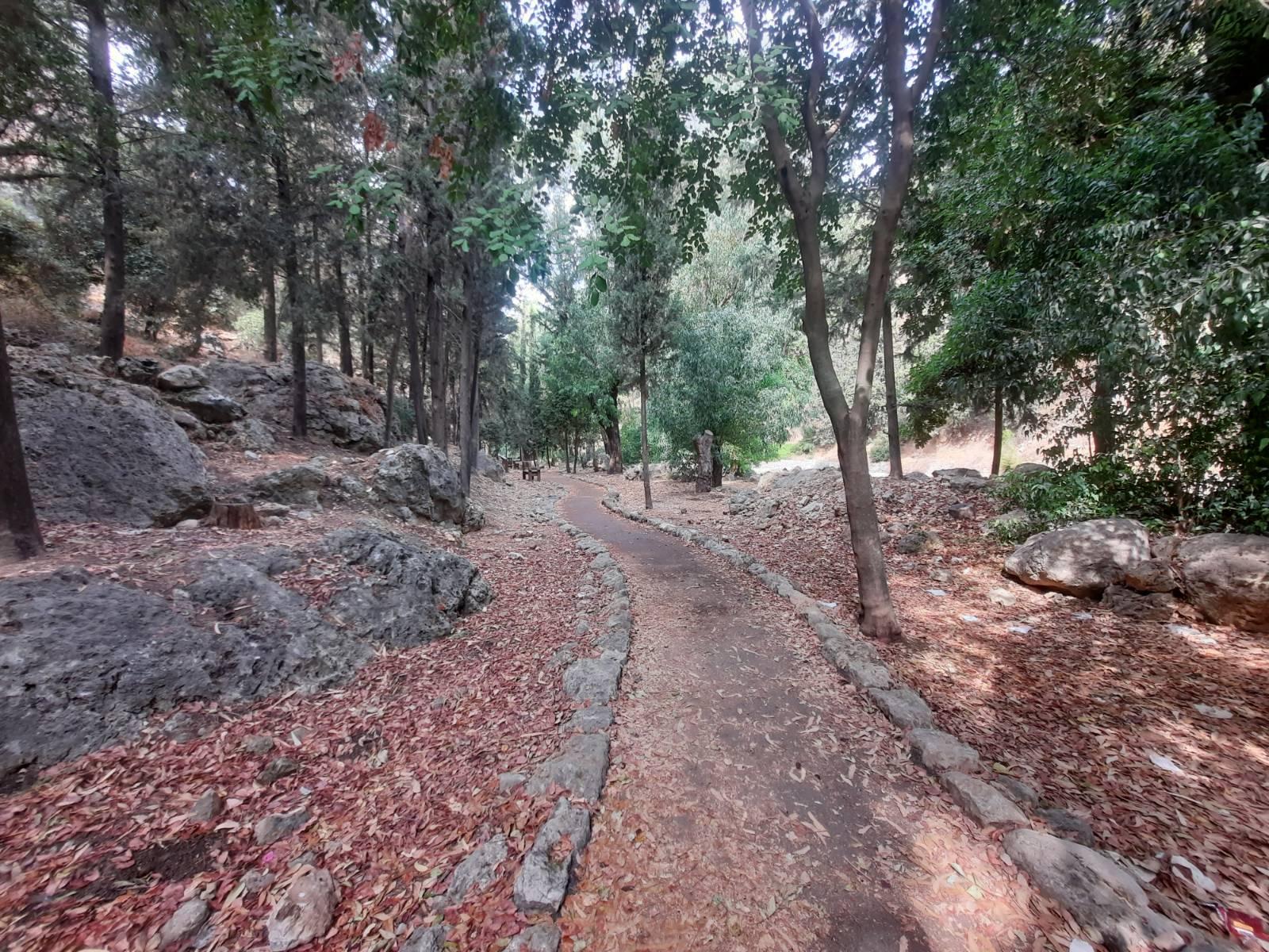
This picnic area is surrounded by HaKedoshim (Martyr’s) Forest. The stand of trees just to the west of the picnic benches contains a stone-lined path flanked by Holocaust momuments and plaques with quotes from Anne Frank’s diary.
HaKedoshim Forest was planted as a memorial to those who died in the Holocaust and contains six million trees, symbolizing the six million Jews who perished at the hands of the Nazis and their collaborators in World War II.
When you are ready to move on, continue west on the paved road (red trail marking) but don’t miss the Anne Frank Memorial which is up under the trees parallel and to the left of the paved road. This Holocaust Memorial parallels the road for about 300 meters with different stations along the way.
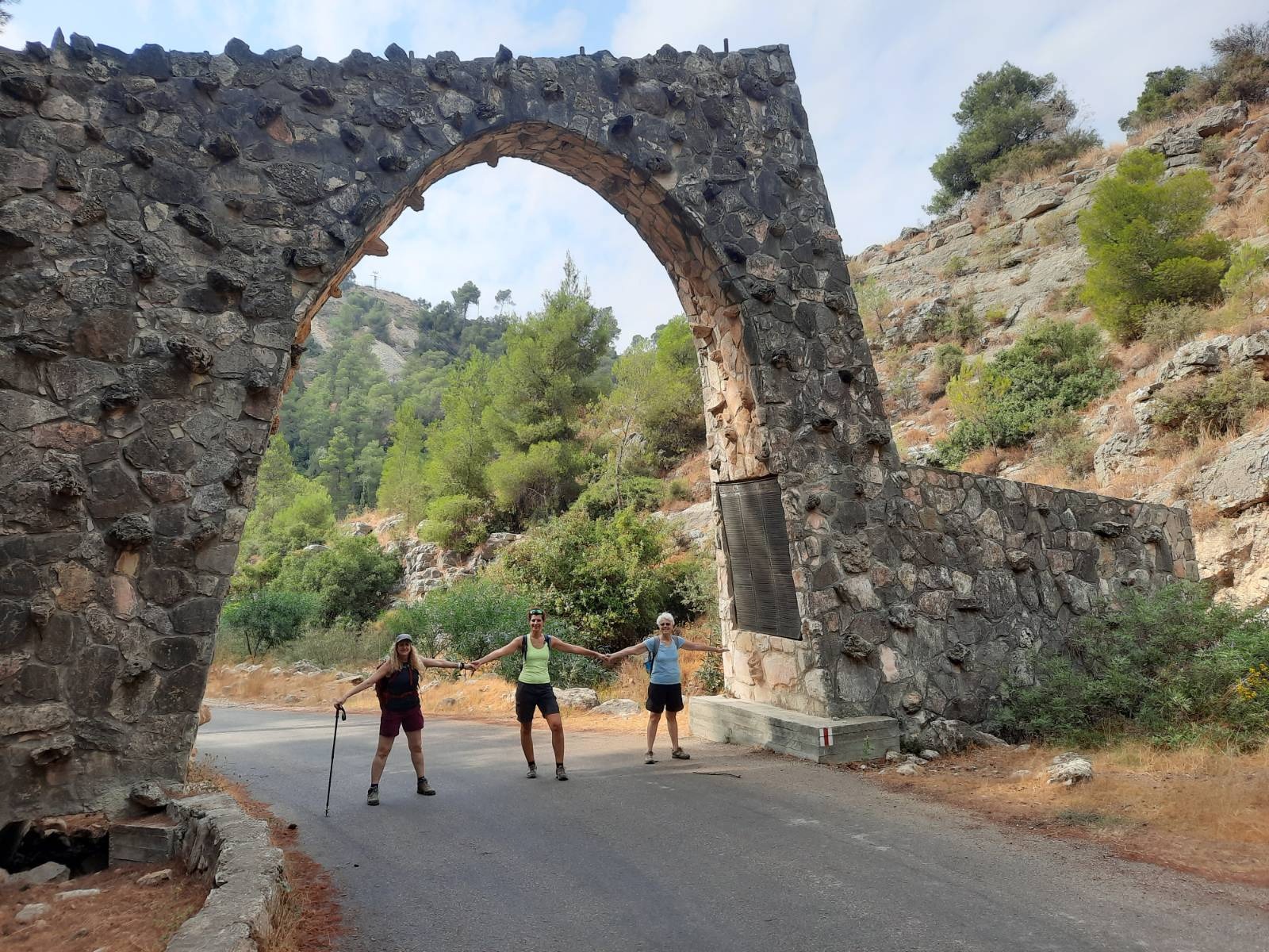
At a bend in the paved road, you will pass under this arch on which there are two large, bronze plaques listing all the US B’nei Brit chapters which contributed to the funding of this forest.
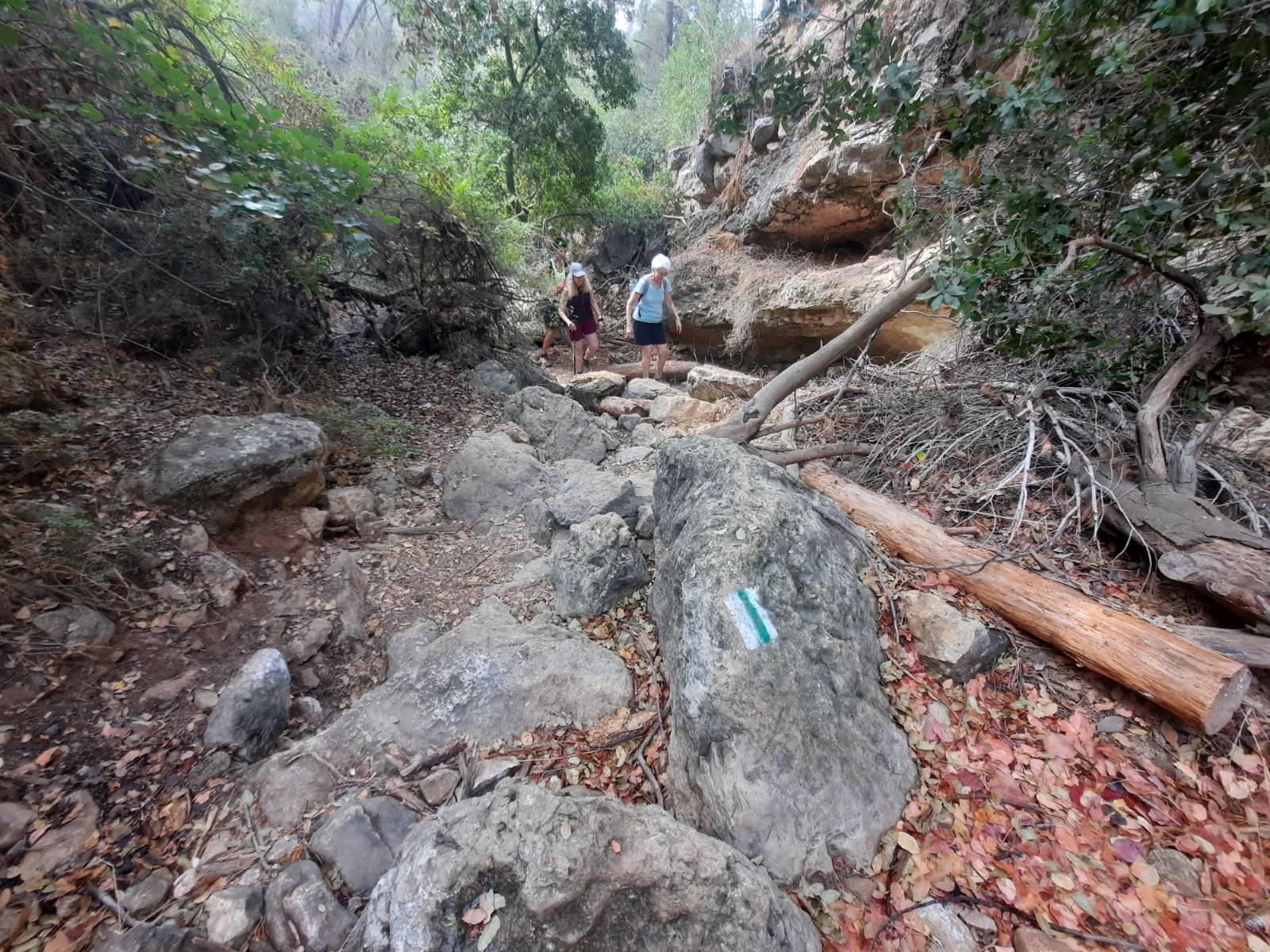
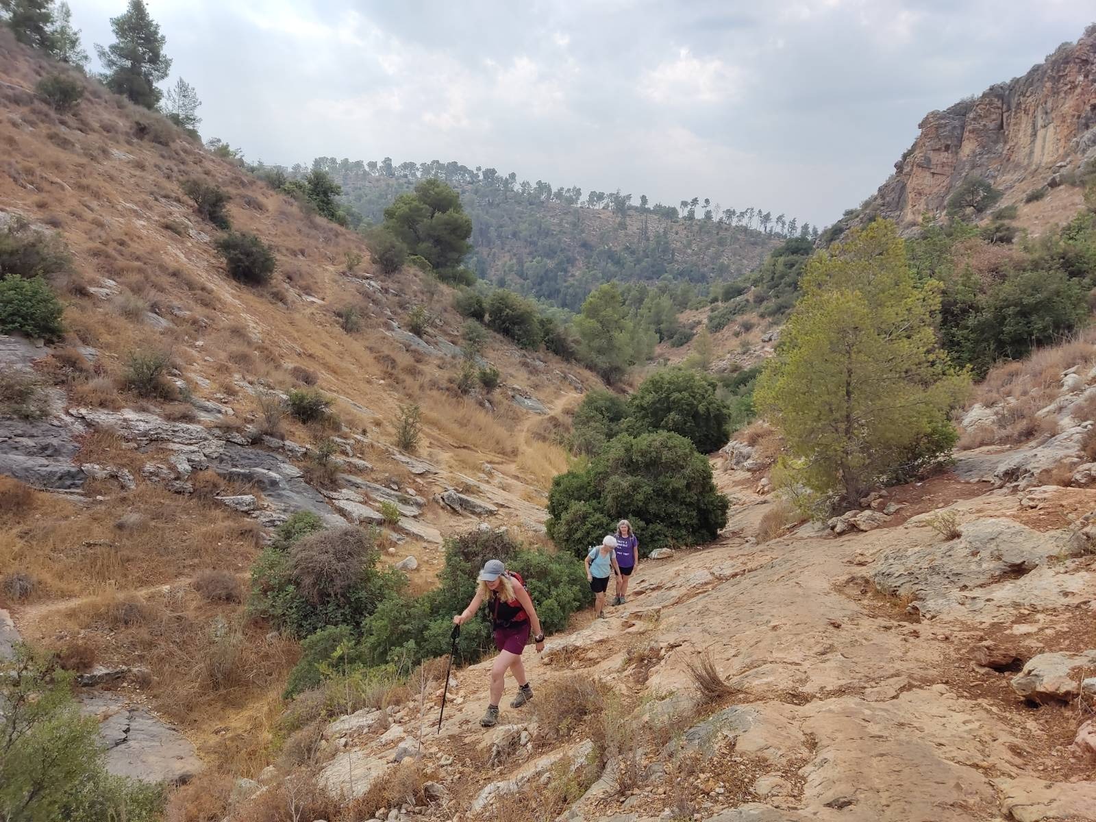
From the picnic area, you walk down the paved road (red trail) for 1.09 km. Keep your eyes open on the right for where the green trail begins its ascent up Nahal Carmila. The green trail marking was somewhat hidden in the grass.
There was a fair bit of scrambling to be done on the ascent. You need shoes with good rock grip (tread). It wasn’t exactly difficult but the trail ascends from 278 meters to 544 meters over about 2 km. It seemed long and was more exposed to the sun than the descent had been. It was a good workout. Stop and rest when you need to to let your heart rate slow down. And remember to drink!
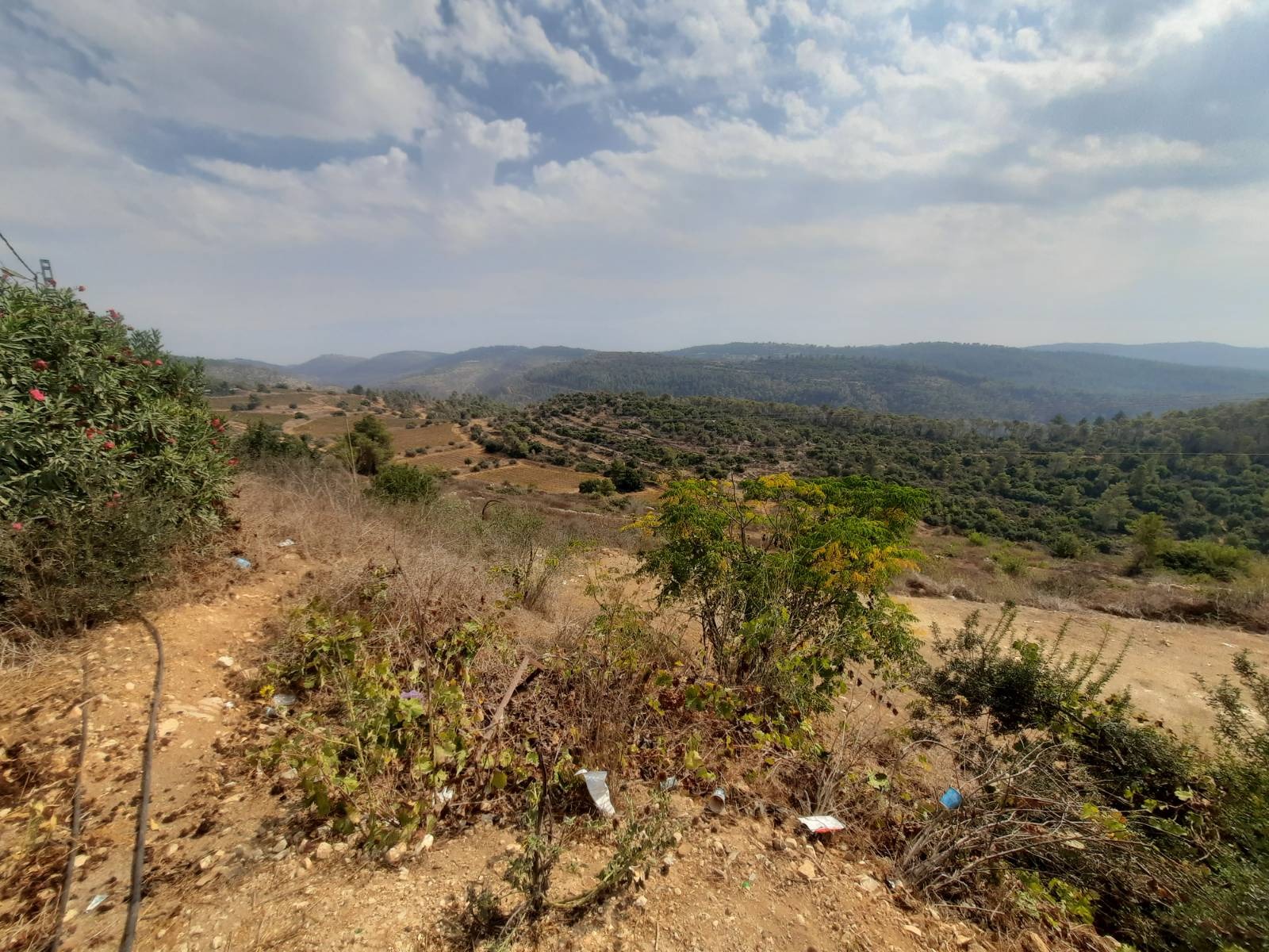
The end of the ascent will put you inside the hilltop community of Beit Meir which is half way between Rehovot and Jerusalem. This is a quiet community of about 200 families and exclusively private homes, some of which have B&Bs for rent.
The four of us were trying to guess how much real estate in this community would cost. I Googled that when I got home and found out that in March of 2021, a 2 bedroom home there had sold for 17.5M shekels/$5M!
The views that every home had off the sides of the hill were breathtaking!
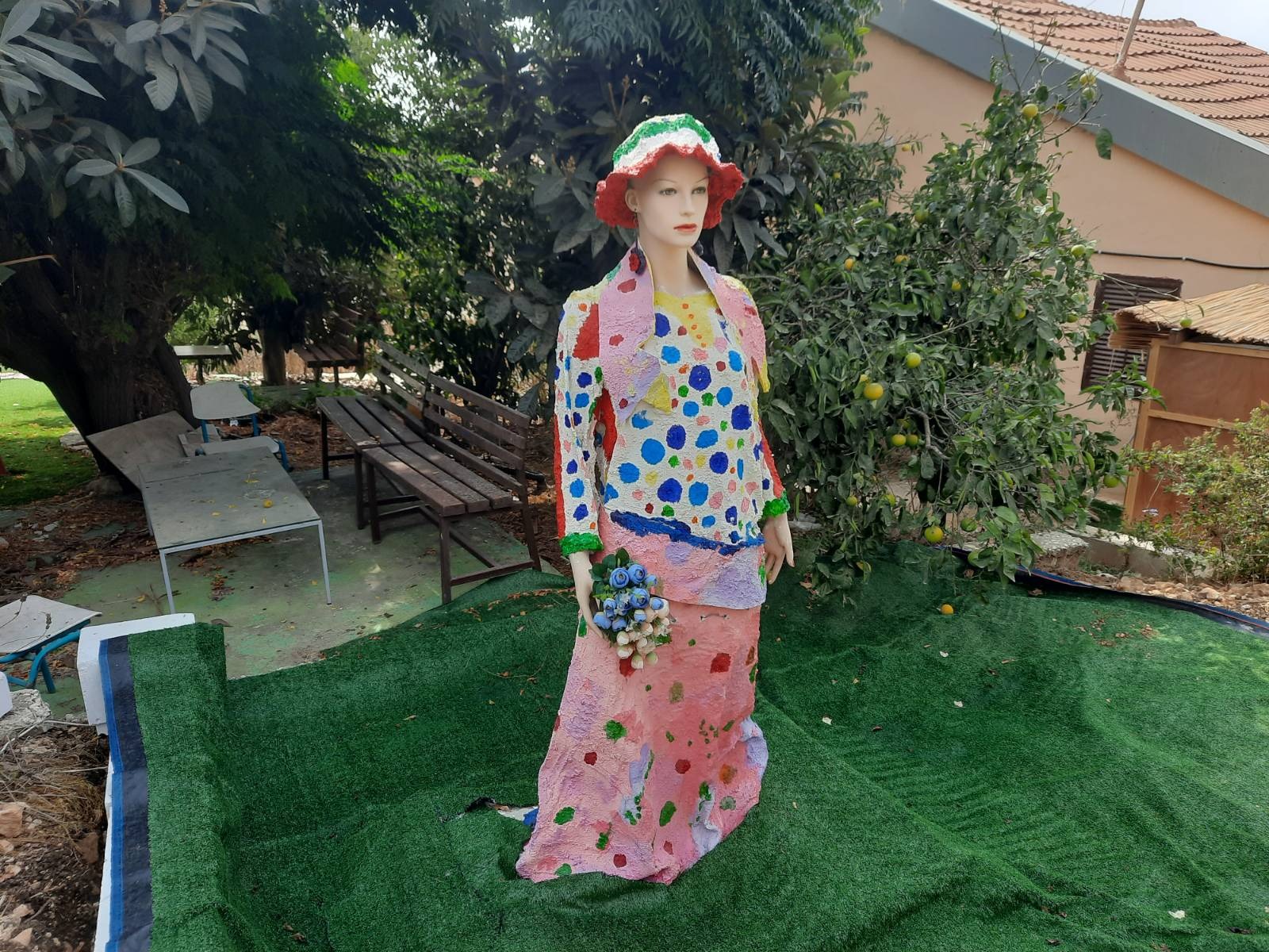
One home had this papier mache mannequin in the yard. Hmmmm……certainly unique.
As is our tradition, we ended our unexpected and very successful hike with a stop at the nearest Aroma on the way home.