Route type: Circular
Difficulty level: Strenuous
Distance: 6 km
Waze to start/end point: 30.984998, 35.307448
Notes:
- This hike has a lot of climbing with ladders and handholds and is NOT for those with a fear of heights or for young children!
- Do not hike here if there are flood warnings! Closely monitor the weather via weather apps, the Israel Meteorological Service (https://ims.gov.il/en) and the Parks and Nature Authority (tel. *3639)
- Not suitable for dogs.
- Beat the heat and go as early as possible.
Nahal Tzafit sort of has a bad reputation because 4 years ago, 10 kids on a school trip were drowned in a flashflood in this ravine (https://www.israelhayom.com/2018/04/27/10-high-school-seniors-killed-in-desert-flash-flood-during-hike/). So you can be sure I was monitoring the weather obsessively.
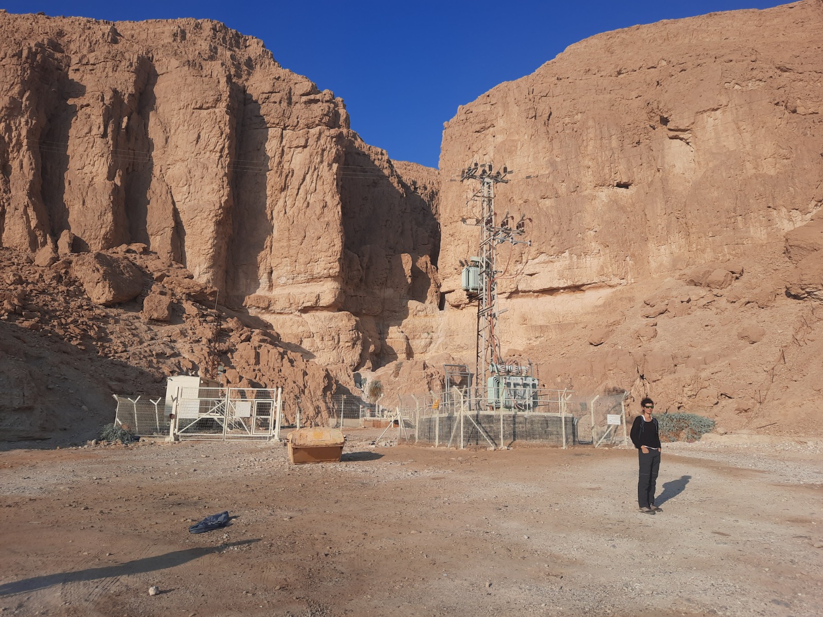
The waze coordinates above will bring you to a gas station on Route 90. After you pull into the gas station, look for a dirt road on your left that runs south and in parallel to Route 90 for a bit further and then turns right onto the green trail.
Just to clarify, a “nahal” in Hebrew is a creek. I can’t decide on the correct English word for where we are hiking when we are in a dry creek. A ravine? A gorge? A canyon? I will use all of the above interchangeably. If I sound confused, it’s because I am :-).
You can leave your car near this….water….pump….thing.
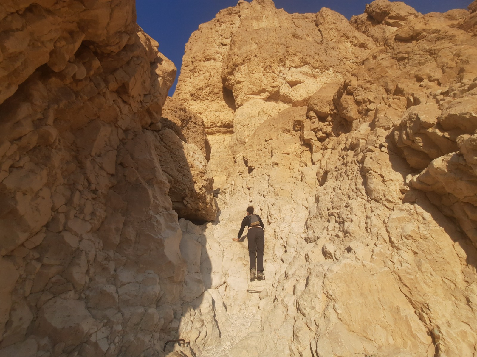
The climb up the crack in the cliff begins immediately with the green trail and includes several long ladders.
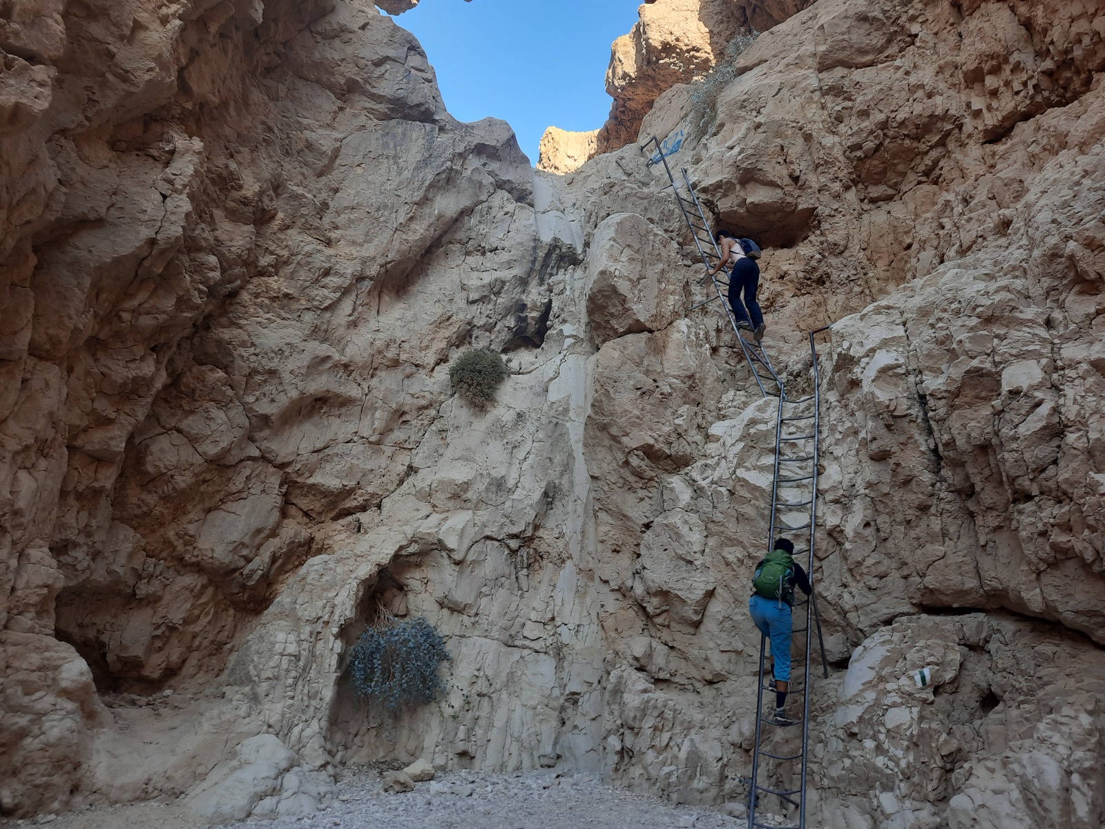
When you get to the top you will see a blue/green trail junction mark. Take the blue trail to the left and it goes up a little bit more but without handholds or ladders.
It brings you to a large plateau with an amazing view down on your teeny, tiny car and the whole area around. It’s breathtaking.
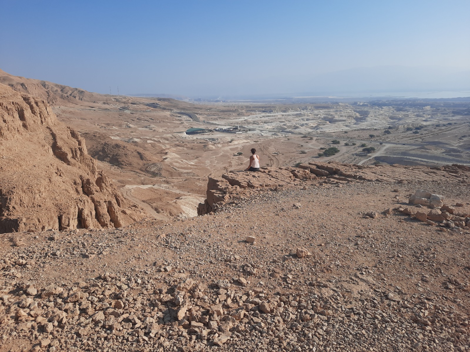
The blue trail continues south, hugging the cliff. There’s not a stitch of shade here. We could clearly see the Dead Sea to our left in the distance.
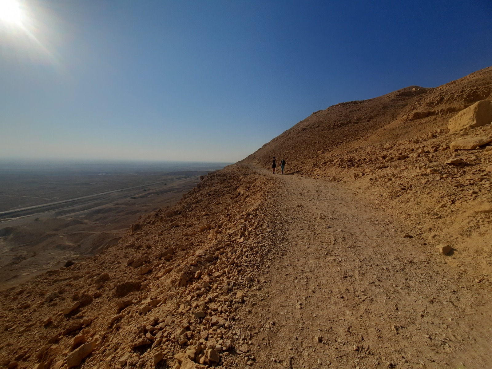
Pretty soon we had turned away from the Dead Sea and were walking above and in parellel to Nahal Tzafit. I could see trail markings in the nahal and knew we’d be doing our return down there. But how would we get down?
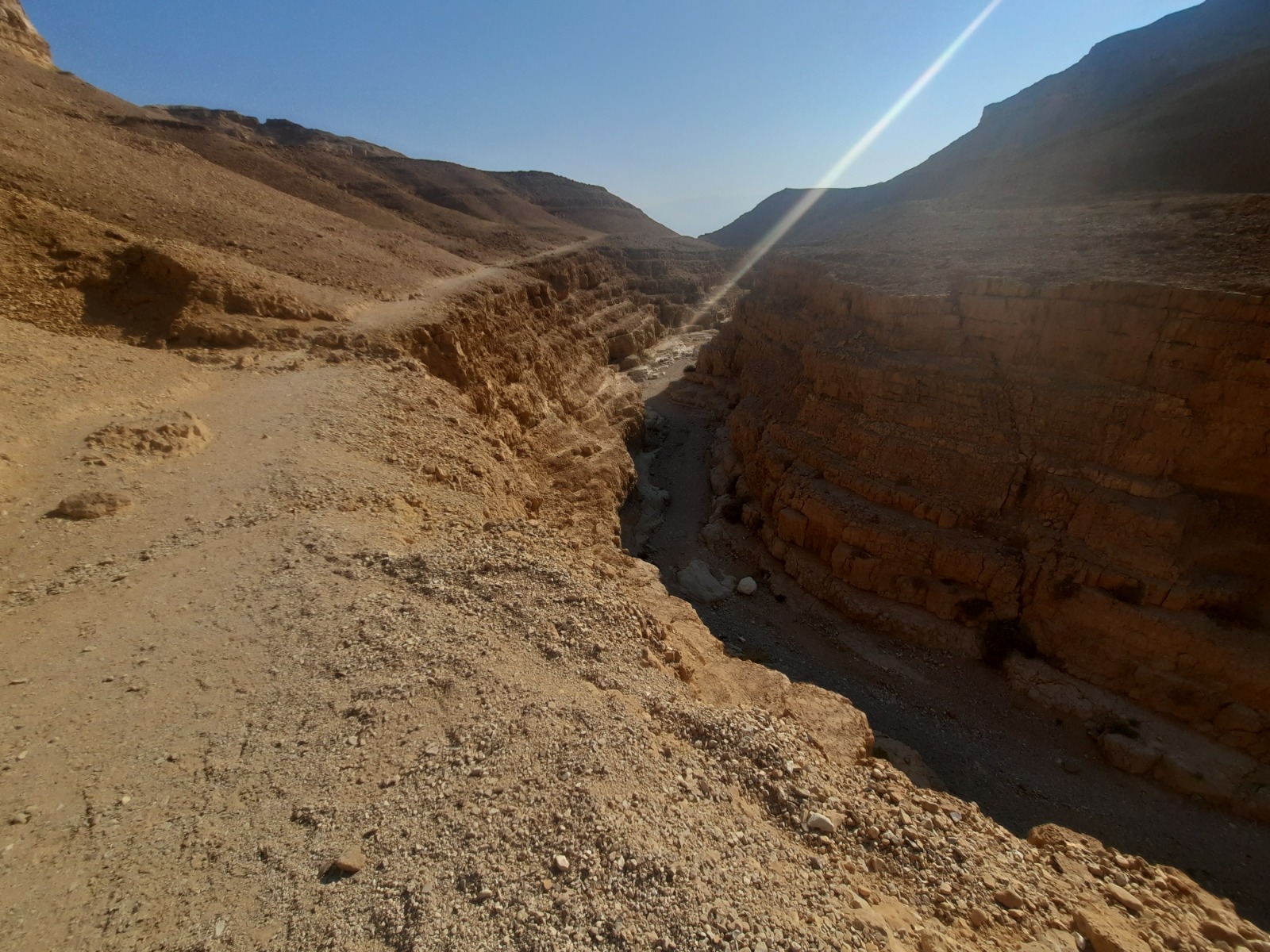
Aha!
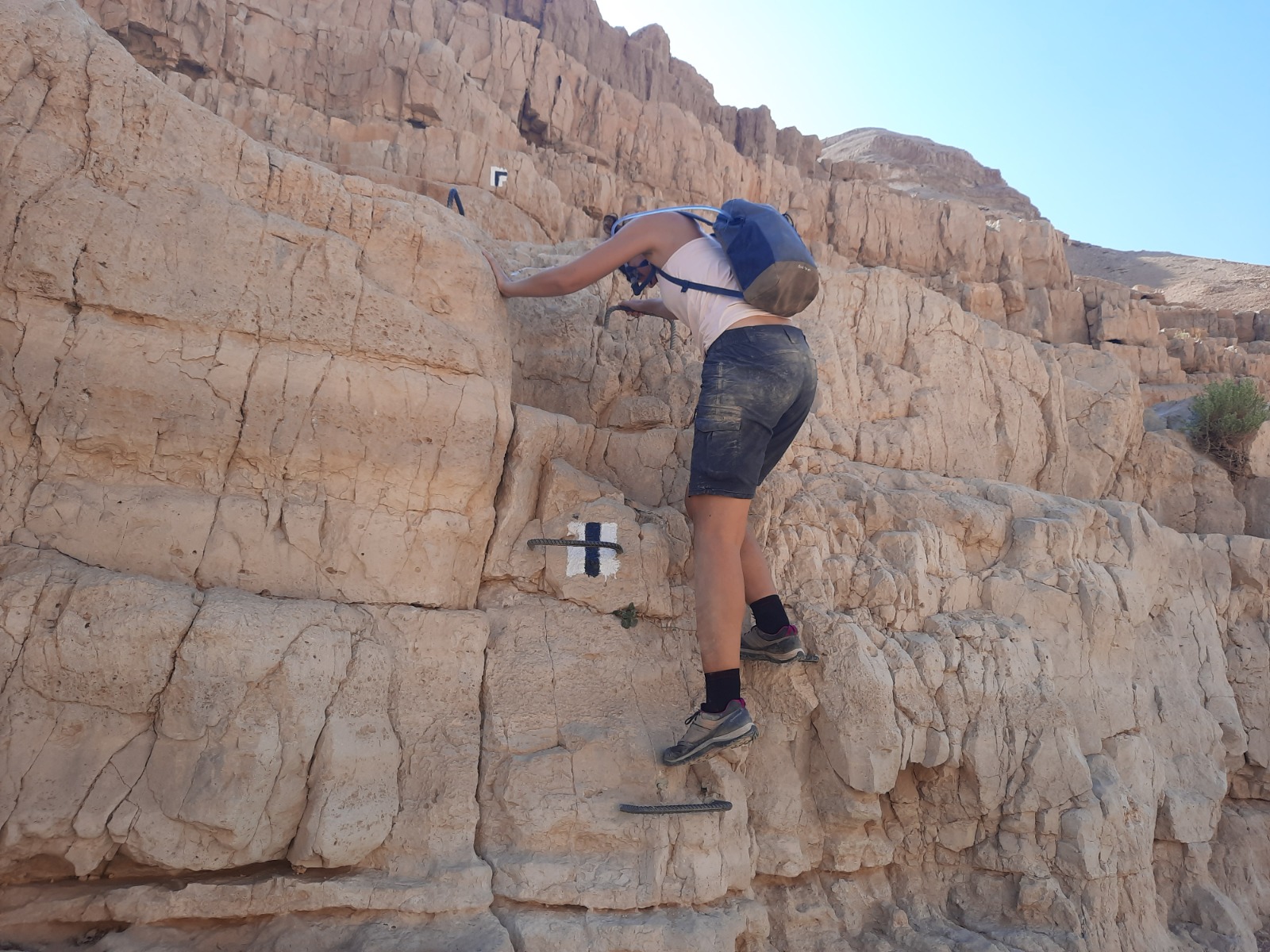
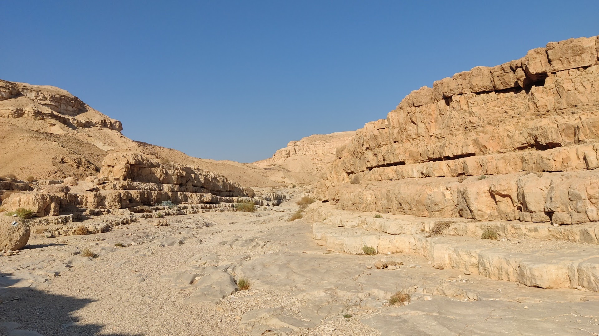
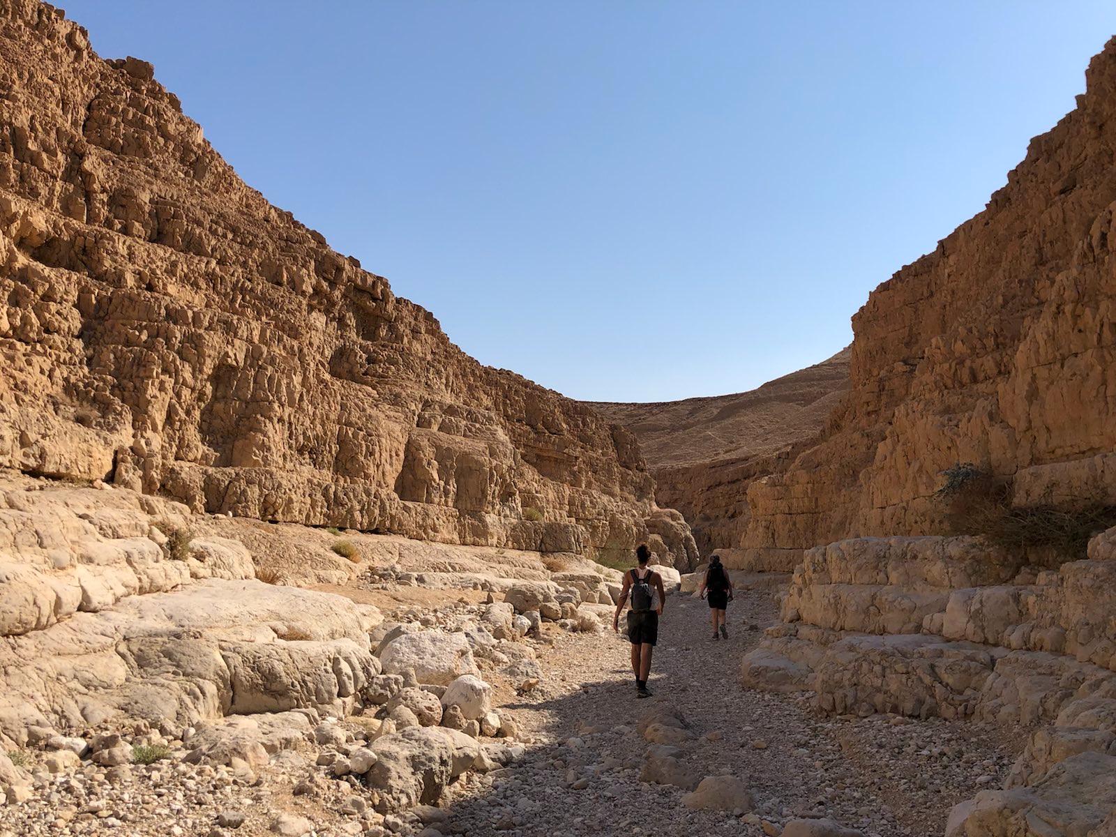
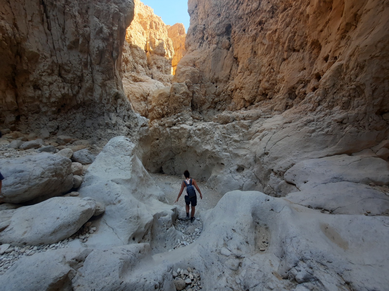
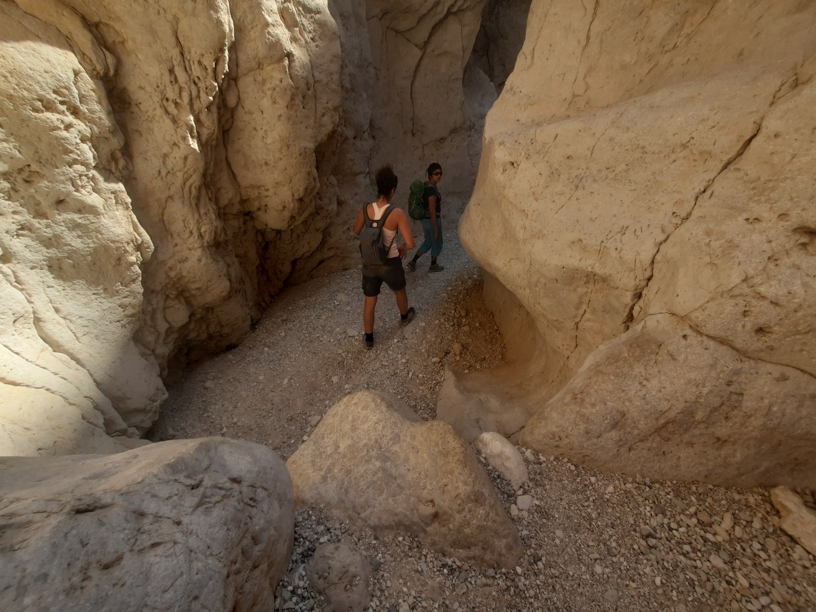
Once we were down in the ravine, it gradually got more and more narrow and interesting with some places where you either had to excute a short jump down to the next level or slide down the water-worn stone on your butt.
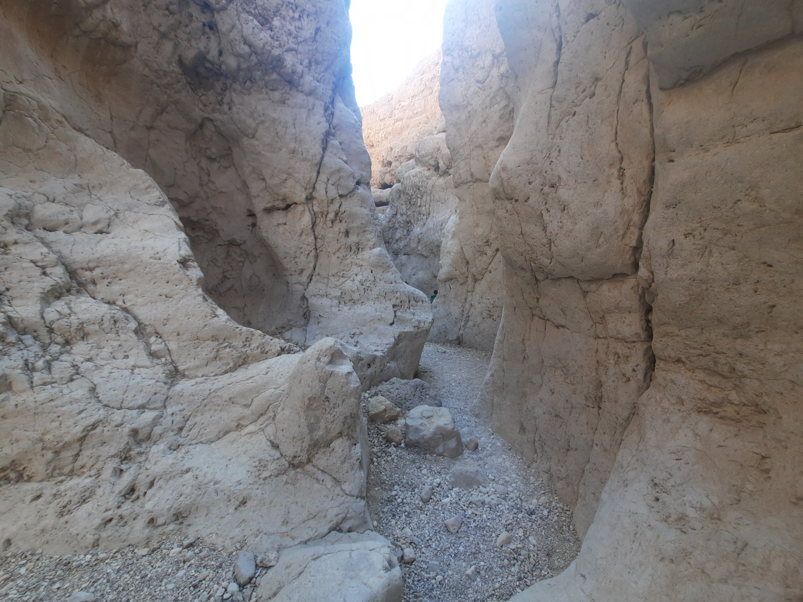
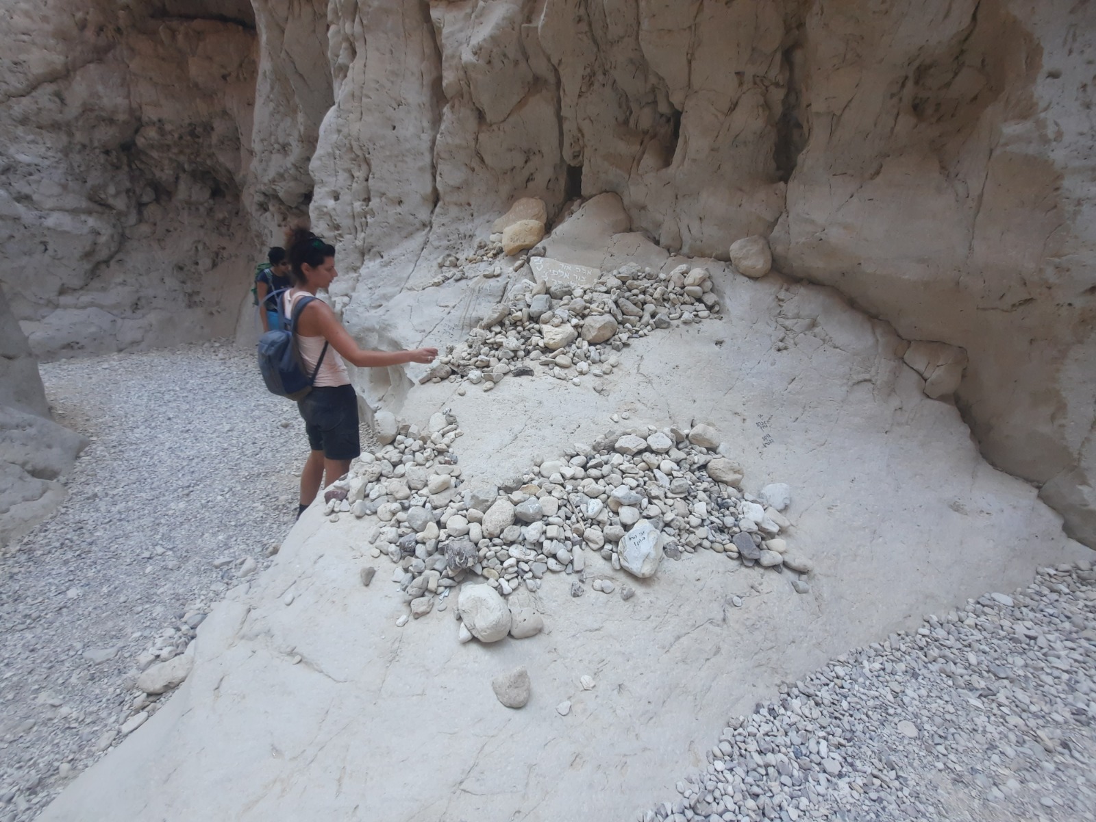
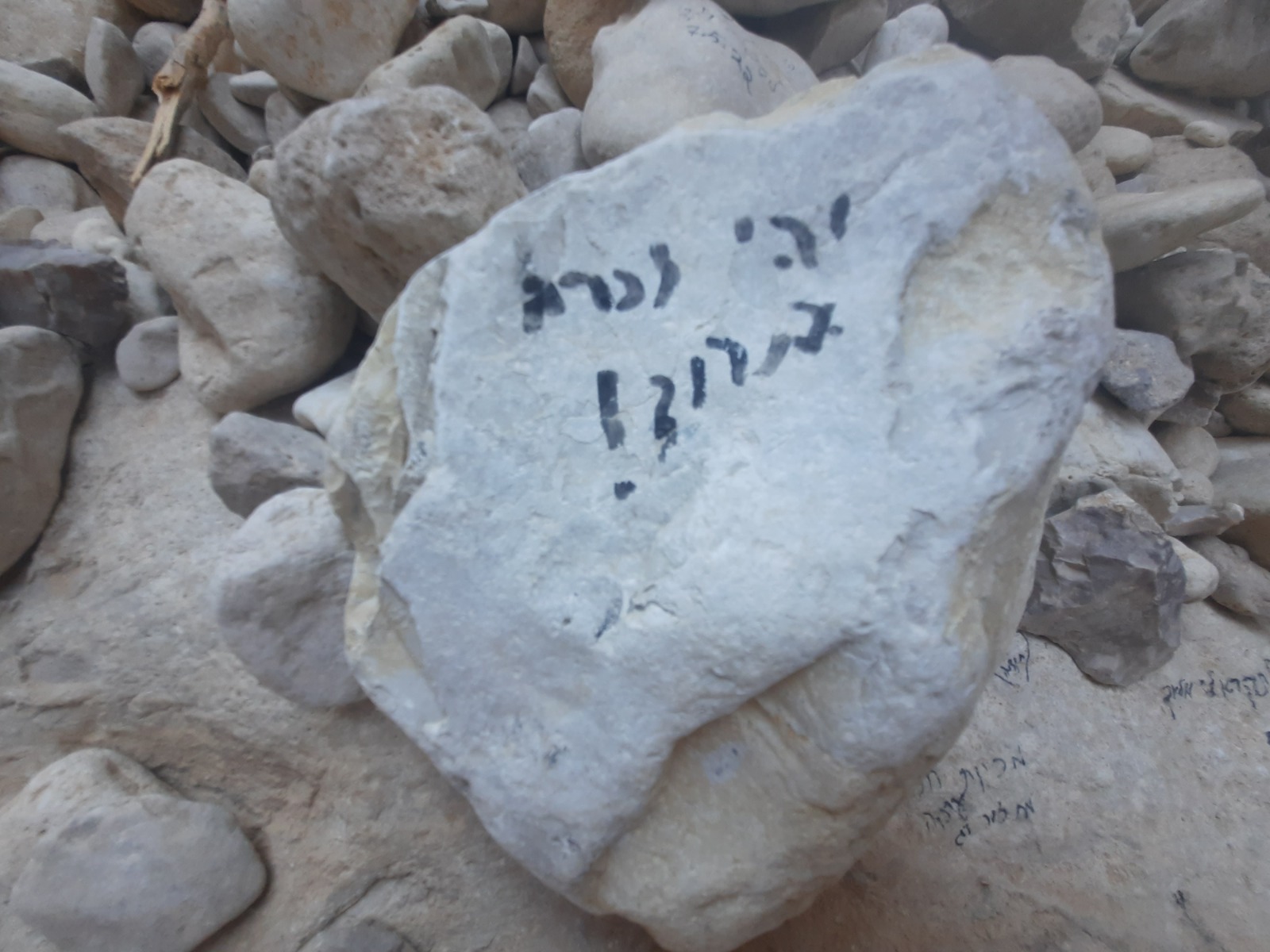
At a bend in the narrow, winding ravine, we found a makeshift memorial to the 10 kids who drowned. The stones had been placed there by those who have passed this way since then and many had inscriptions on them.
“May their memory be a blessing.”
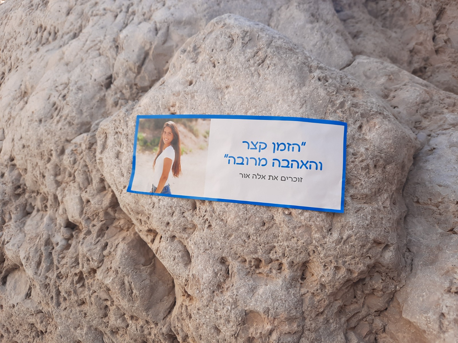
A sticker on the wall of the ravine with a picture of Ella Or, one of the victims of the disaster. It says, “The time is short but the love is plentiful.”
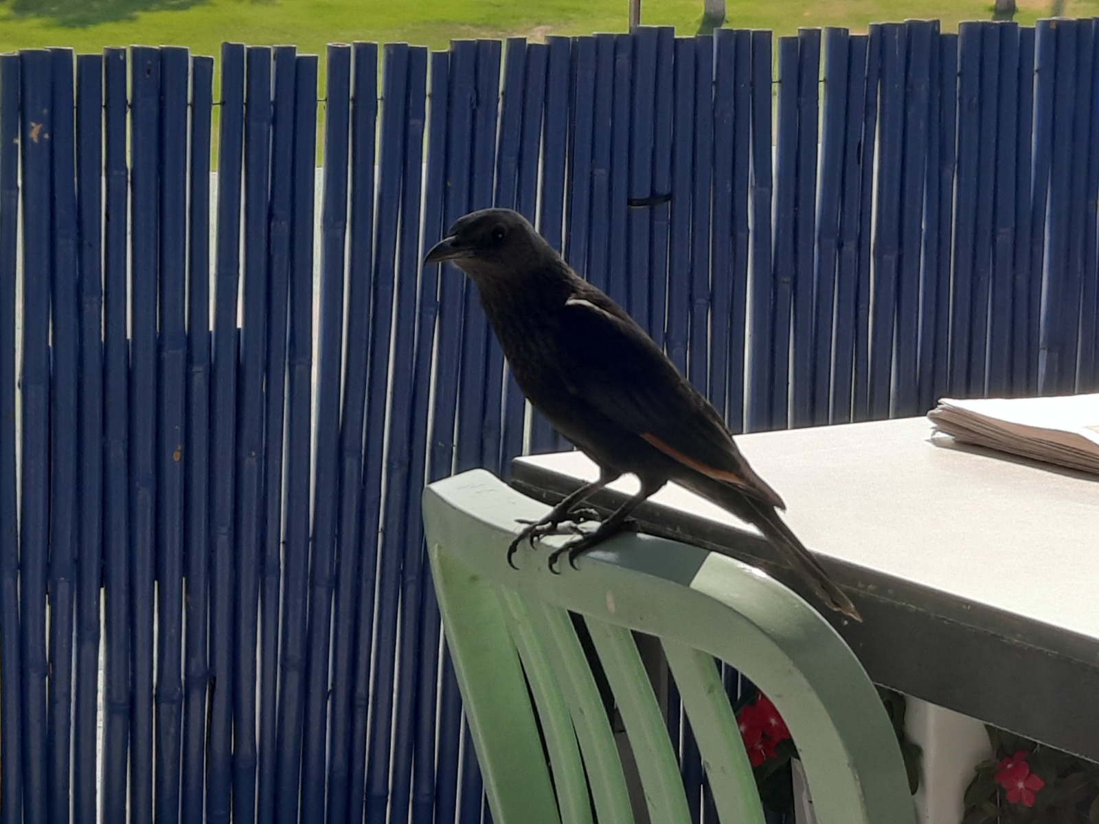
As usual, we stopped at the nearest Aroma on the way home. This one was at Neve Zohar, a resort on the shore of the Dead Sea. As we waited for our order on the patio, this bold bird sat hopefully on the back of a nearby chair.
