Route type: Circular
Difficulty level: Moderate
Distance: 7.3 km
Waze to start/end point: Bar Behar
Notes:
- This hike has a few handholds.
- The ascent out of the nahal is a workout!
- We did this in December. If the ground/leaves are damp, the descent and ascent can be somewhat slippery and muddy.
- Possible with dogs.
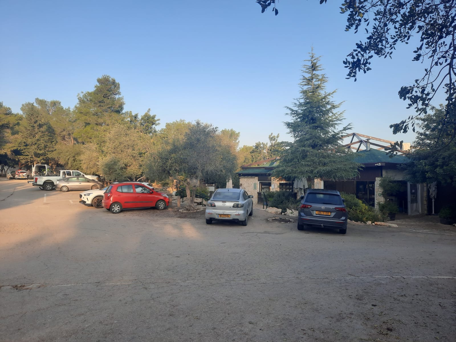
With Shabbat starting so early these days, I wanted something short and close to home. Nahal Katlav was on my “to do” list and checked all the boxes so off we went!
The hike starts from the parking lot of a coffee shop called Bar Behar.
The trail was your typical Jerusalem hills scenery – not too difficult.
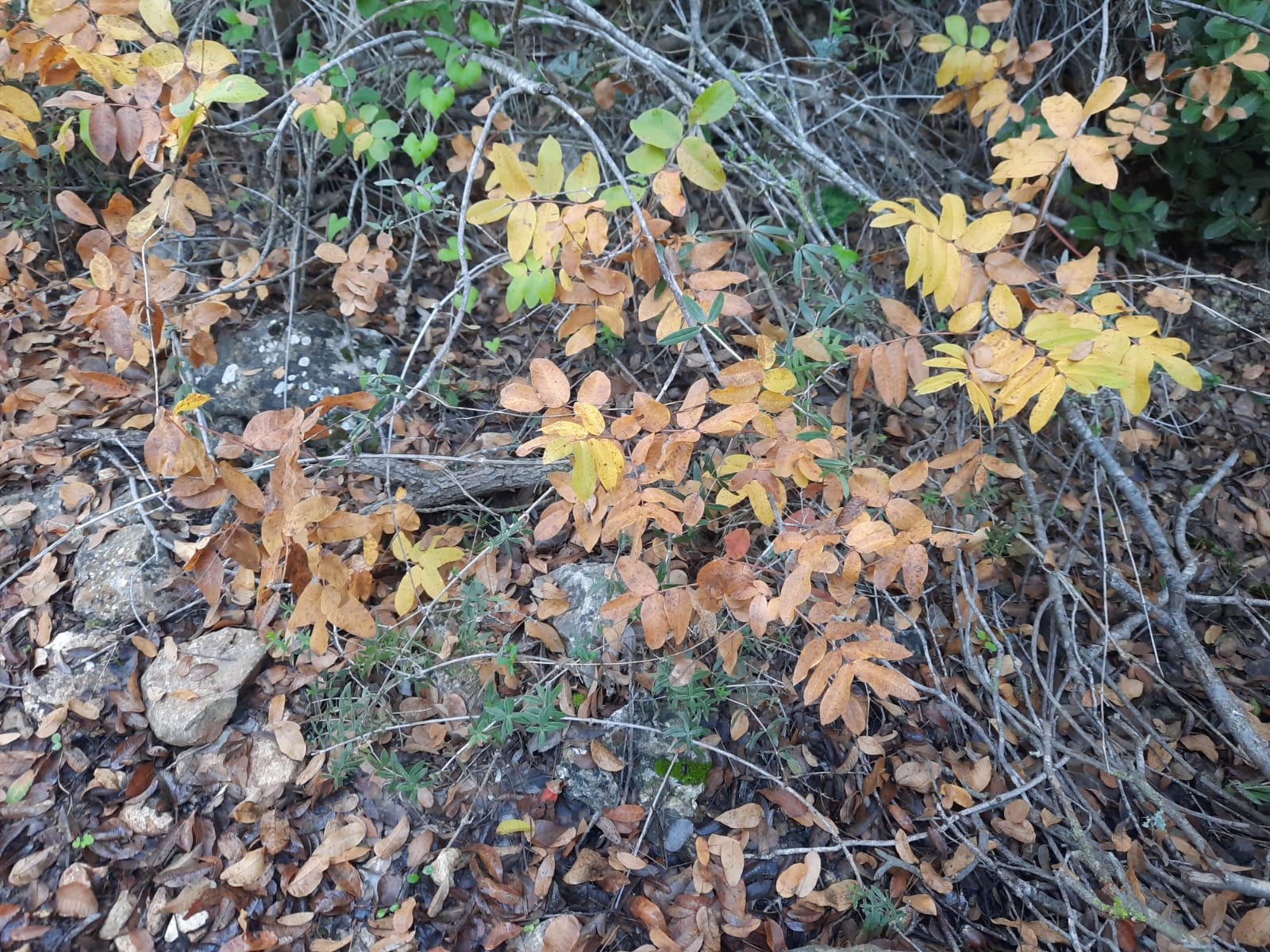
Israel doesn’t have spectacular fall foliage like the Eastern US does but we saw a few plants that were showing off a little bit of those fall colors.
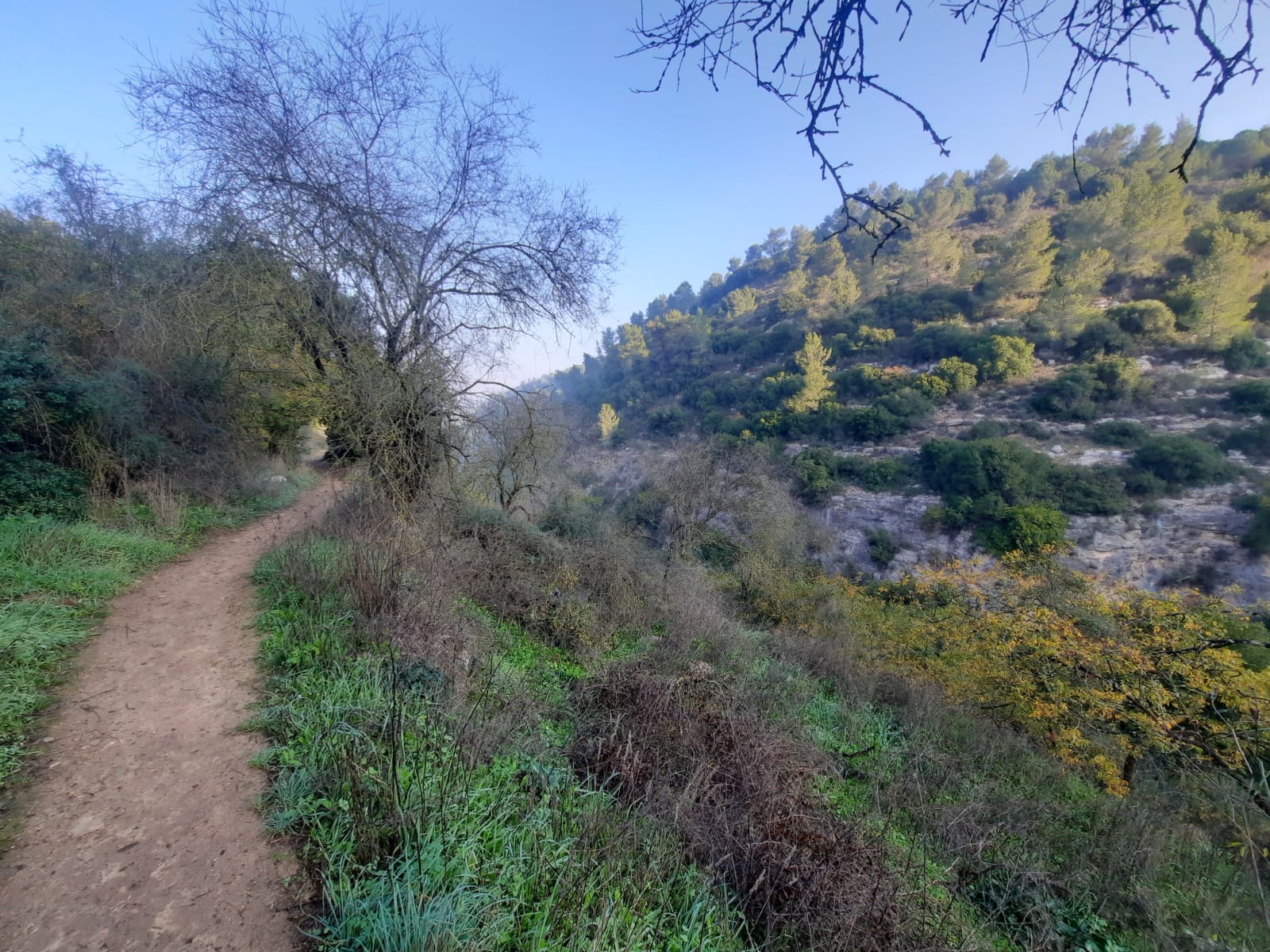
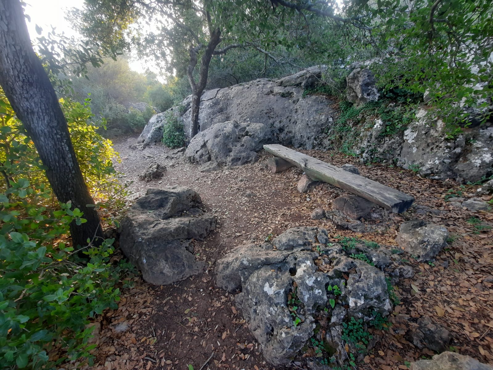
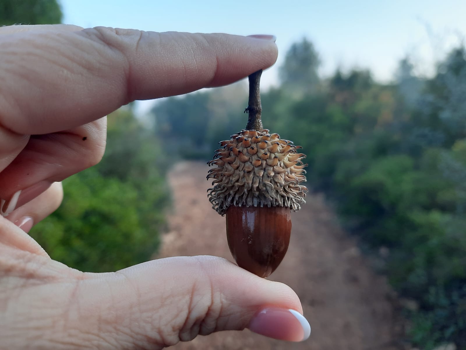
From the parking lot of the coffee shop, we started down the black trail, turned right on the red until it met the black and kept to the left there (black trail). A bit further along the black and blue trails split. You will head down the black trail here into the nahal.
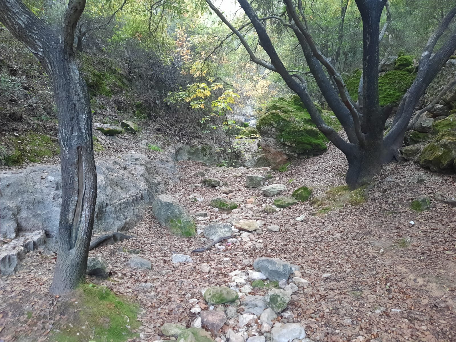
The descent is a bit steep and the leaves and stones were damp and a bit slippery. It was even chillier down in the shade of the trees growing in the creek bed.
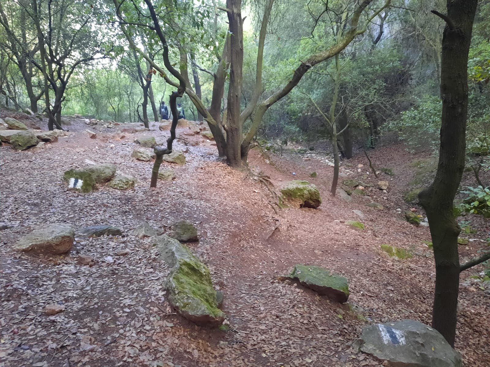
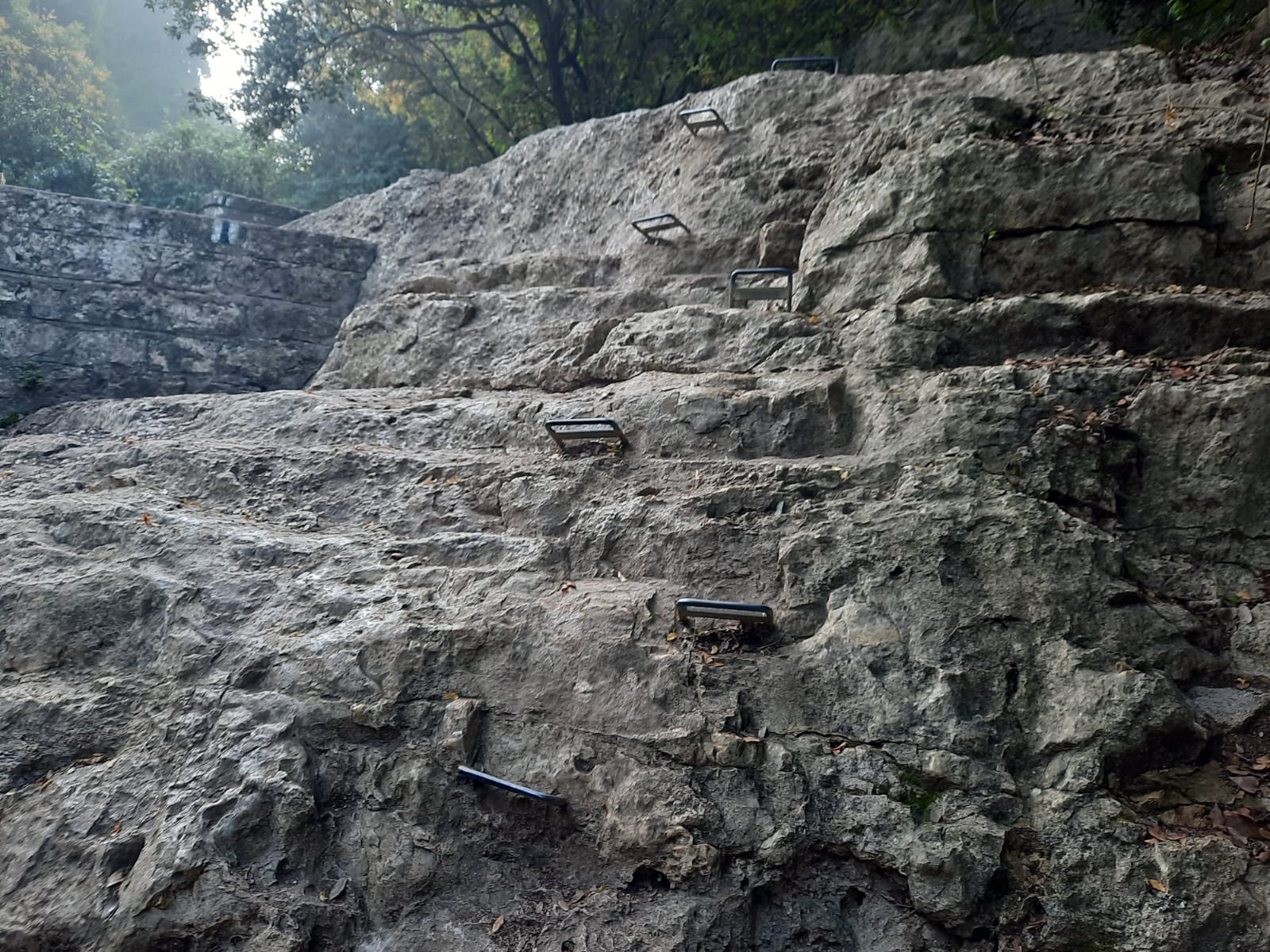
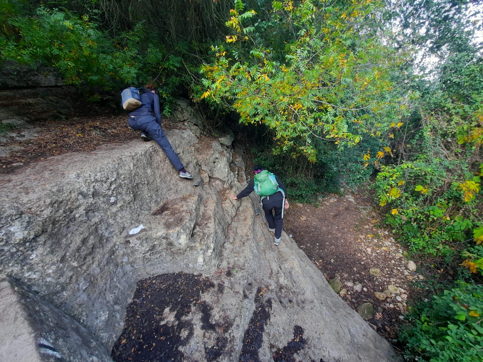
In one spot there were a number of hand holds which had to be navigated.
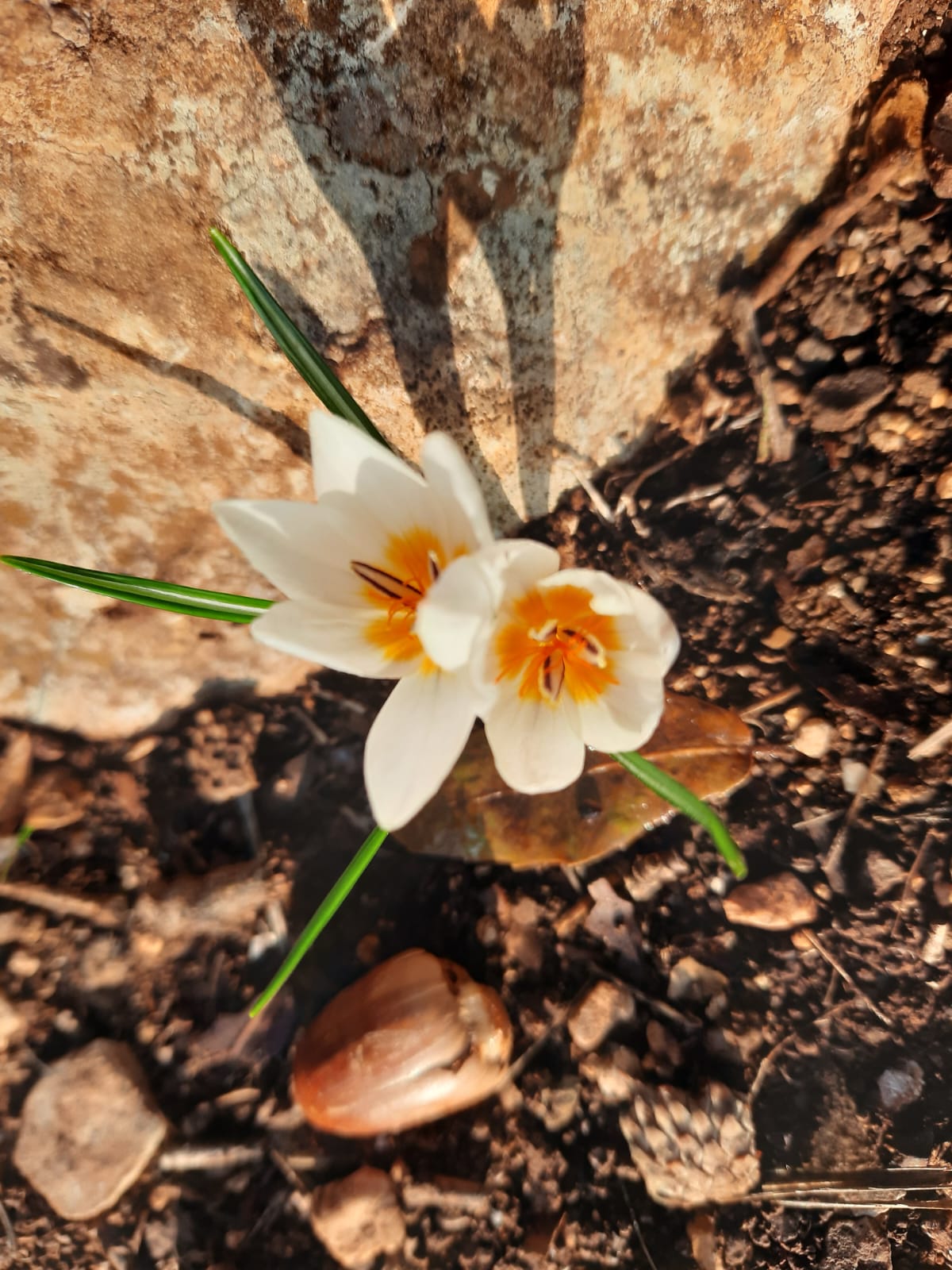
Even though winter has only just begun, we have had a few rainy days recently and there was evidence everywhere that the spring blooms are on the way! I’m not sure what this one is called but it was everywhere.
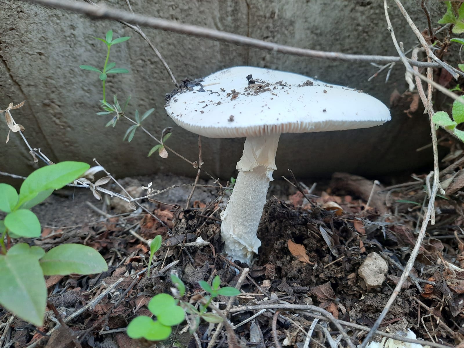
Mushrooms.
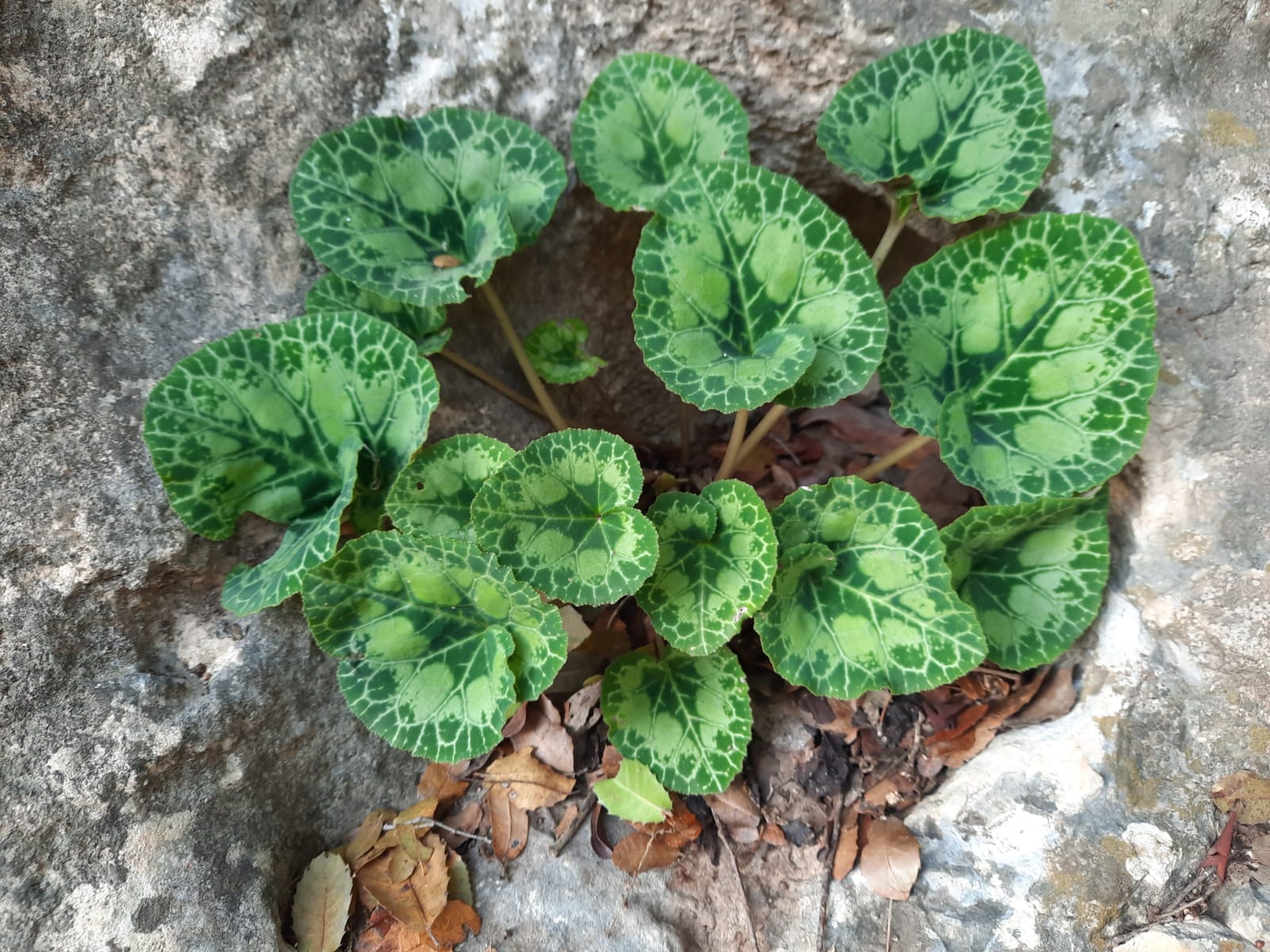
Cyclamen.
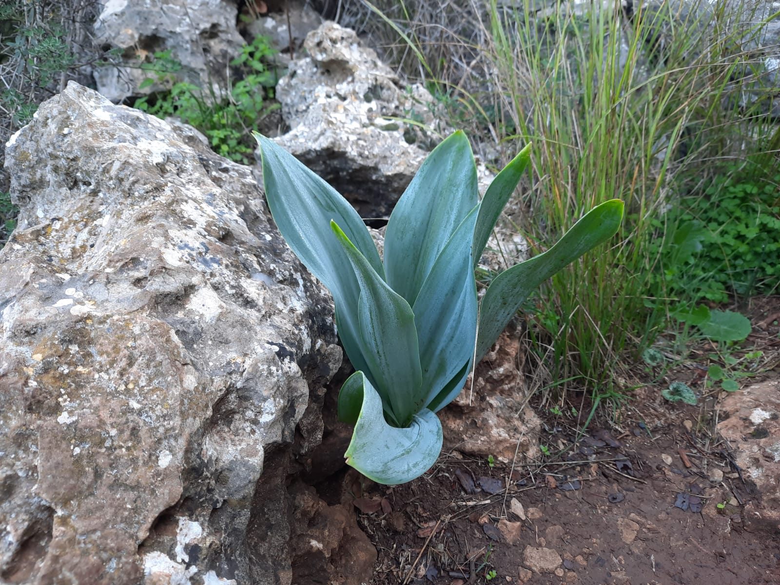
“Chatzav”/חצב – pre-bloom. For some reason I always thought these were hyacinths but Rav Google tells me these flowers are called squill.
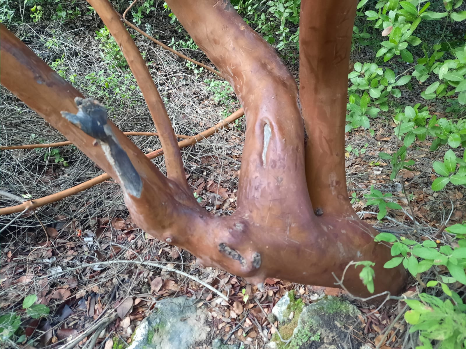
Nahal Katlav is named for the katlav/קטלב tree that grows in the ravine. Google tells me that these trees are called madrones or madronas in the United States, from the Spanish name madroño (strawberry tree). These trees are characterized by their smooth red bark and red berries.
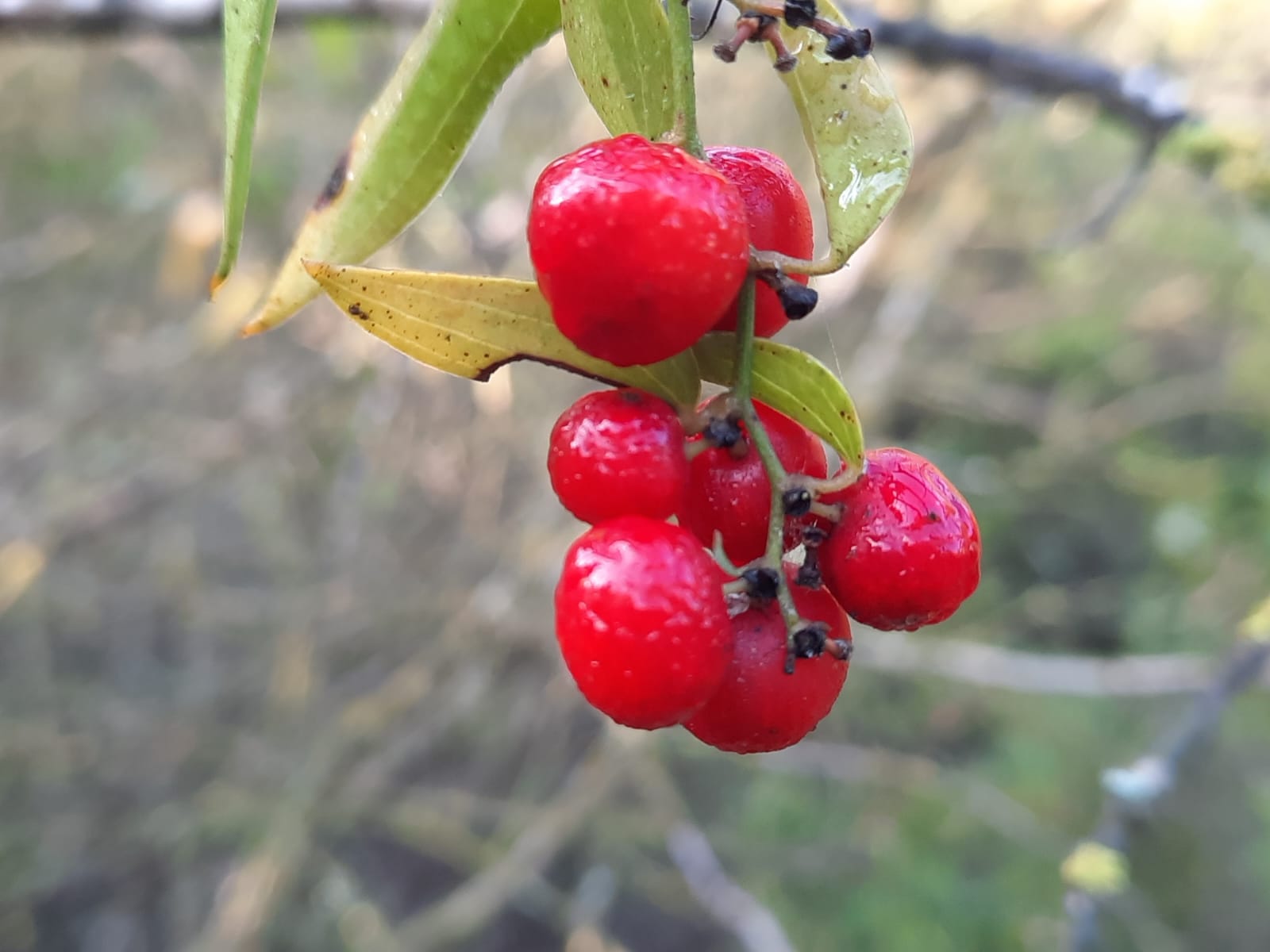
The black trail will lead you up to a tunnel that goes under the railroad tracks. Do not go through the tunnel (unless you want to check out Nahal Sorek which is right there on the other side of the train tracks).
Immediately before the tunnel there are a few stairs on the left where you turn onto the green trail. As we ascended on the green trail, we could hear the roar of the water in Nahal Sorek but could not see it even from half way up the hillside.
I don’t know how, but a bit further along the green trail we got a bit muddled and lost the path. I guess we were yapping too much and not paying attention to the trail markings.
If you stay on the green trail, you will come upon Dayr al-Shaykh, a burial place and shrine which consists of a courtyard, a prayer hall, a maqam (a funeral construction, commonly cubic-shaped and topped with a dome) and a crypt.
There was a Palestinian Arab village by the same name in another location which was founded by Badr-al Din Muhammed who came to Palestine around 1229-1244. He died in 1253 and was buried at this shrine.
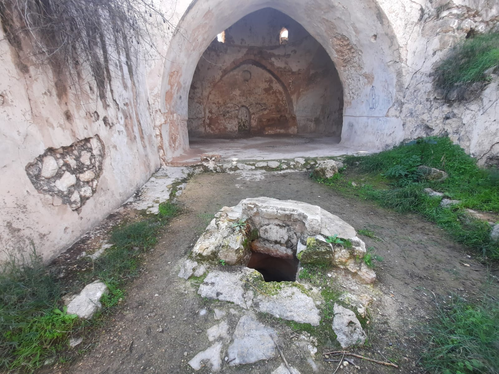
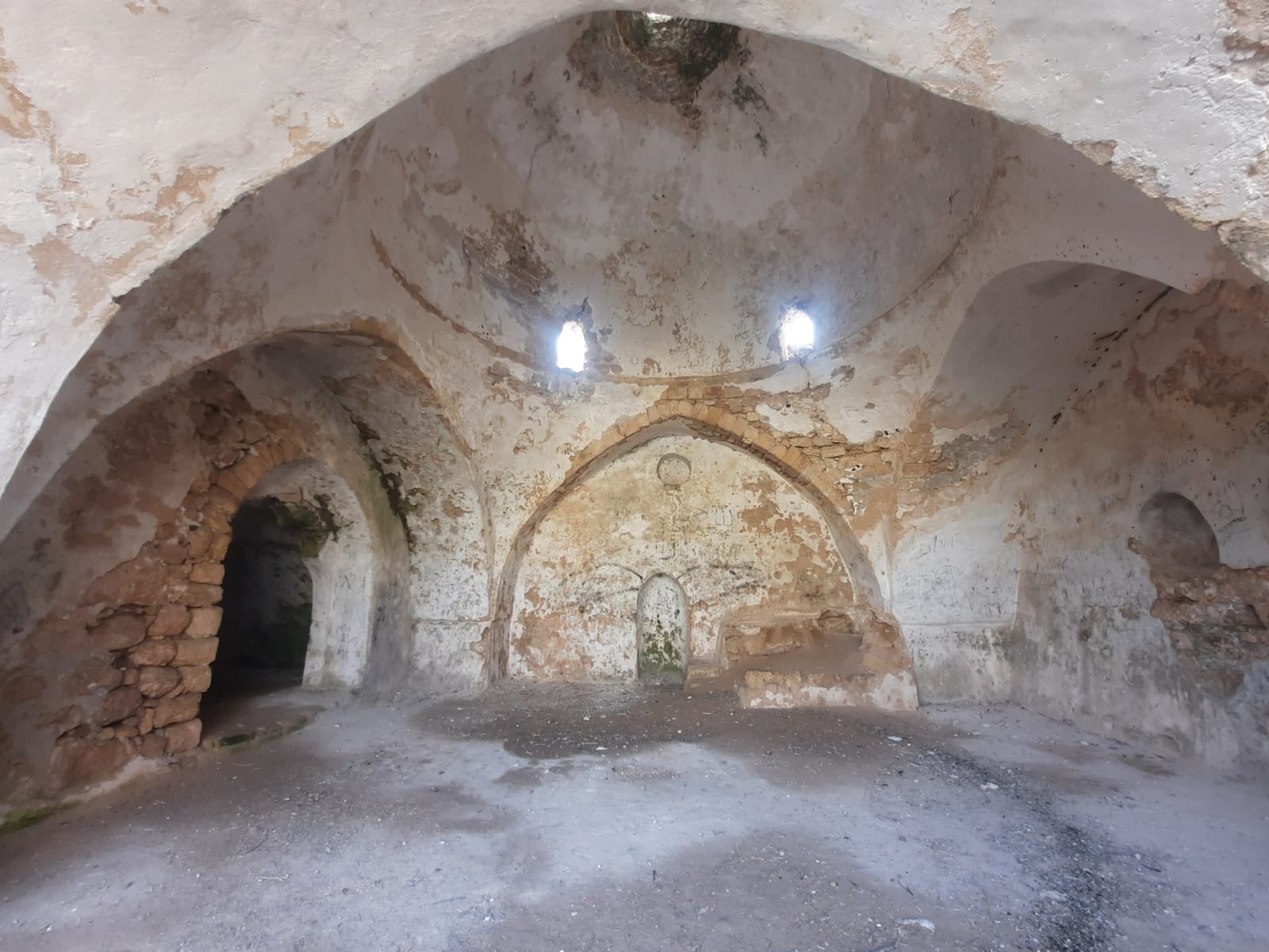
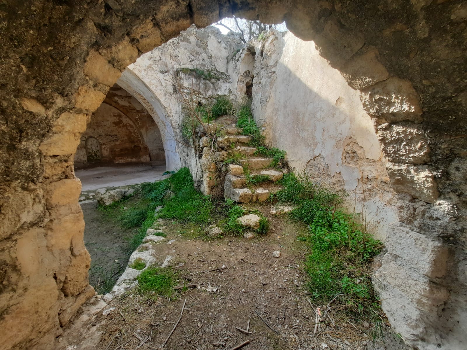
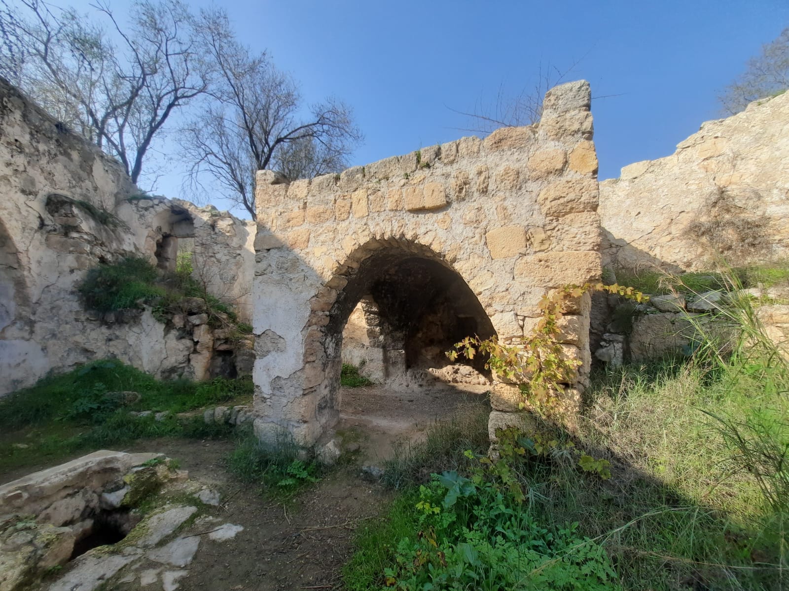
Once you’ve had a good look around Dayr al-Shaykh, continue your ascent on the green trail to the black and make a left. This will loop you back around to your starting point.
I’m not gonna lie. After Dayr al-Shaykh, the ascent is a good workout. No hand holds or anything that strenuous but it’s a climb and here, too, the stones were a little bit slippery in places.
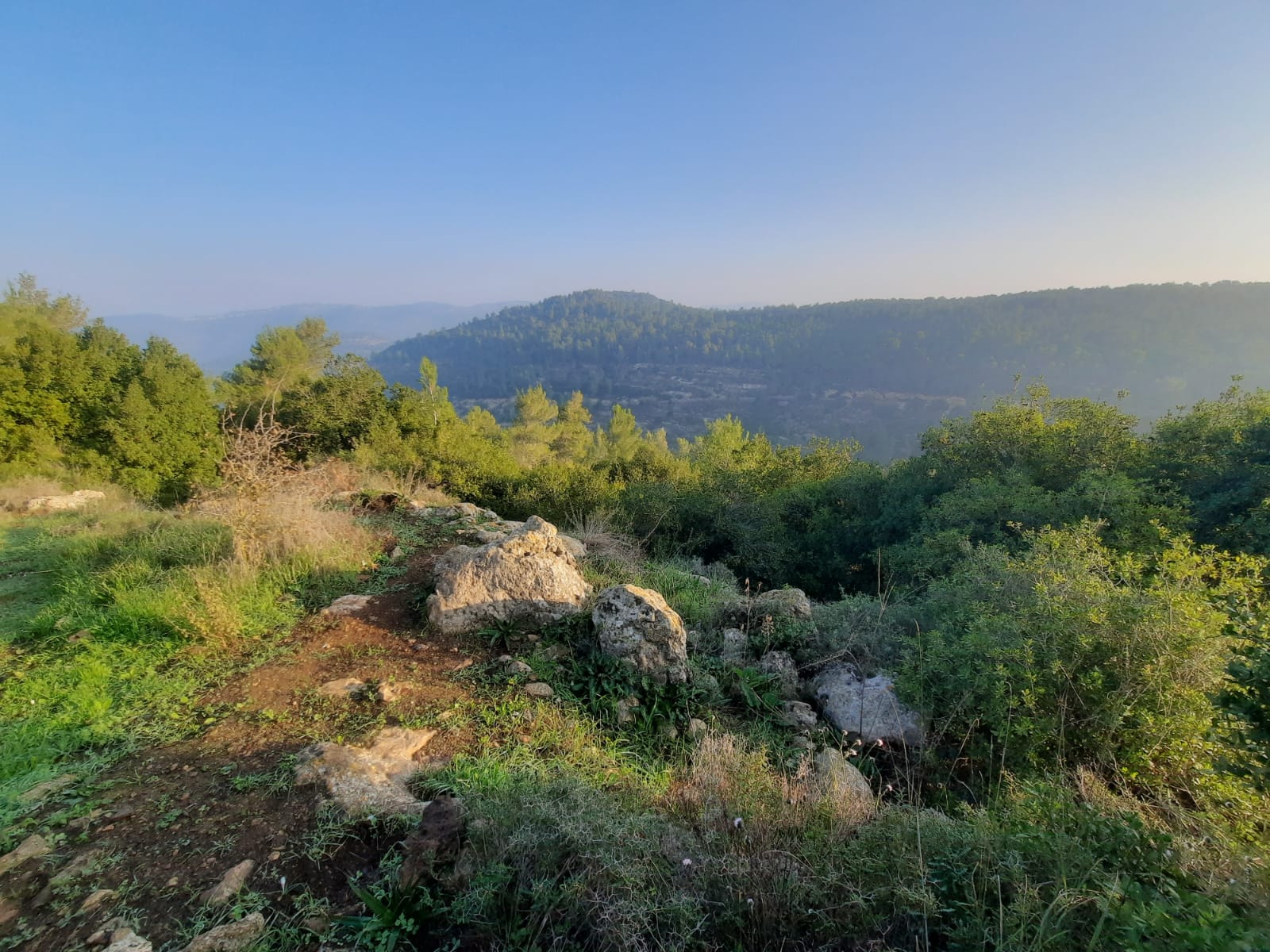
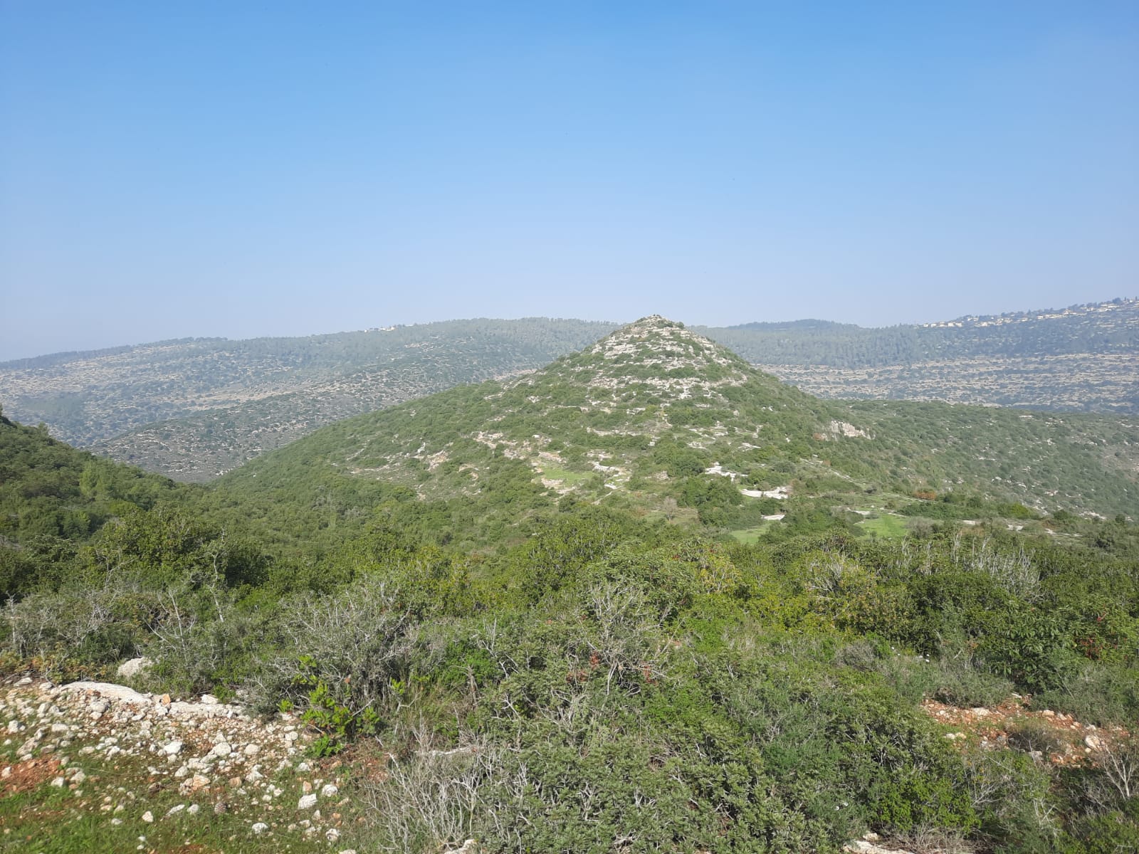
The views just kept getting better and better as we ascended.
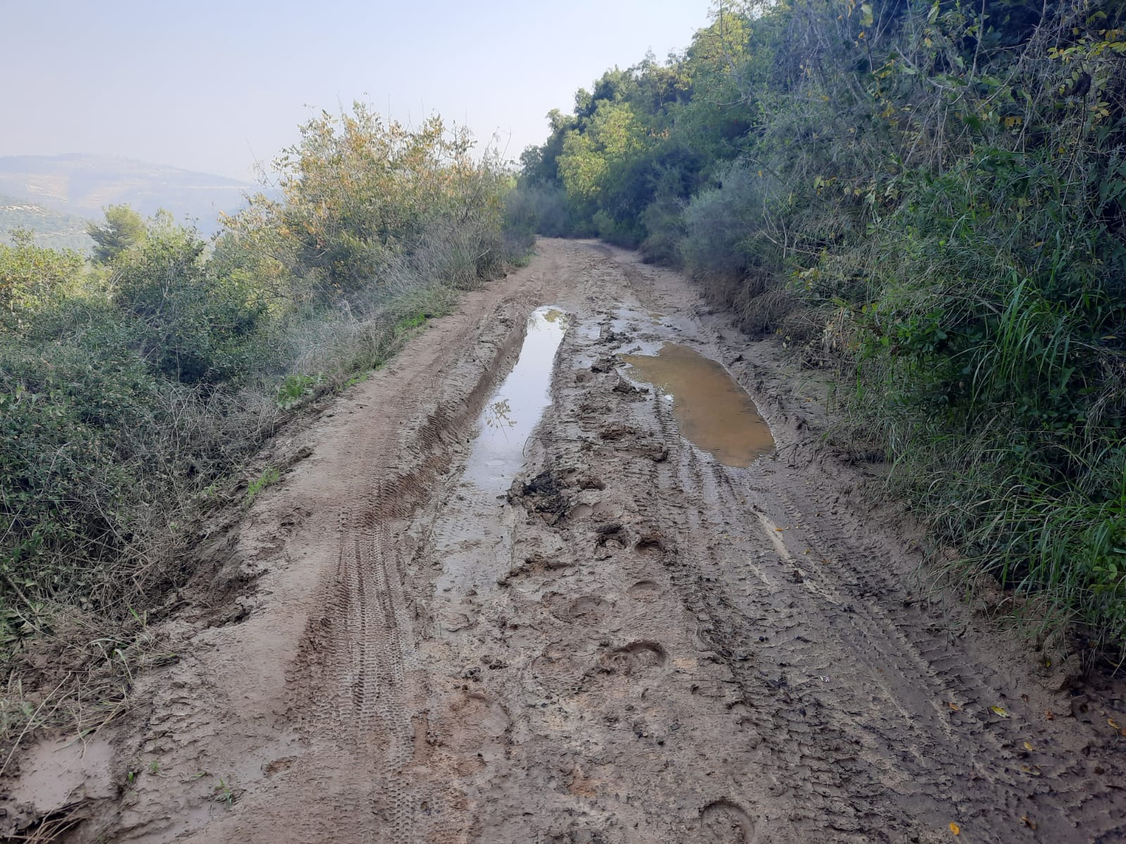
After we reached the summit and turned left onto the black trail, we did encounter some large puddles and mud but nothing we couldn’t get around.
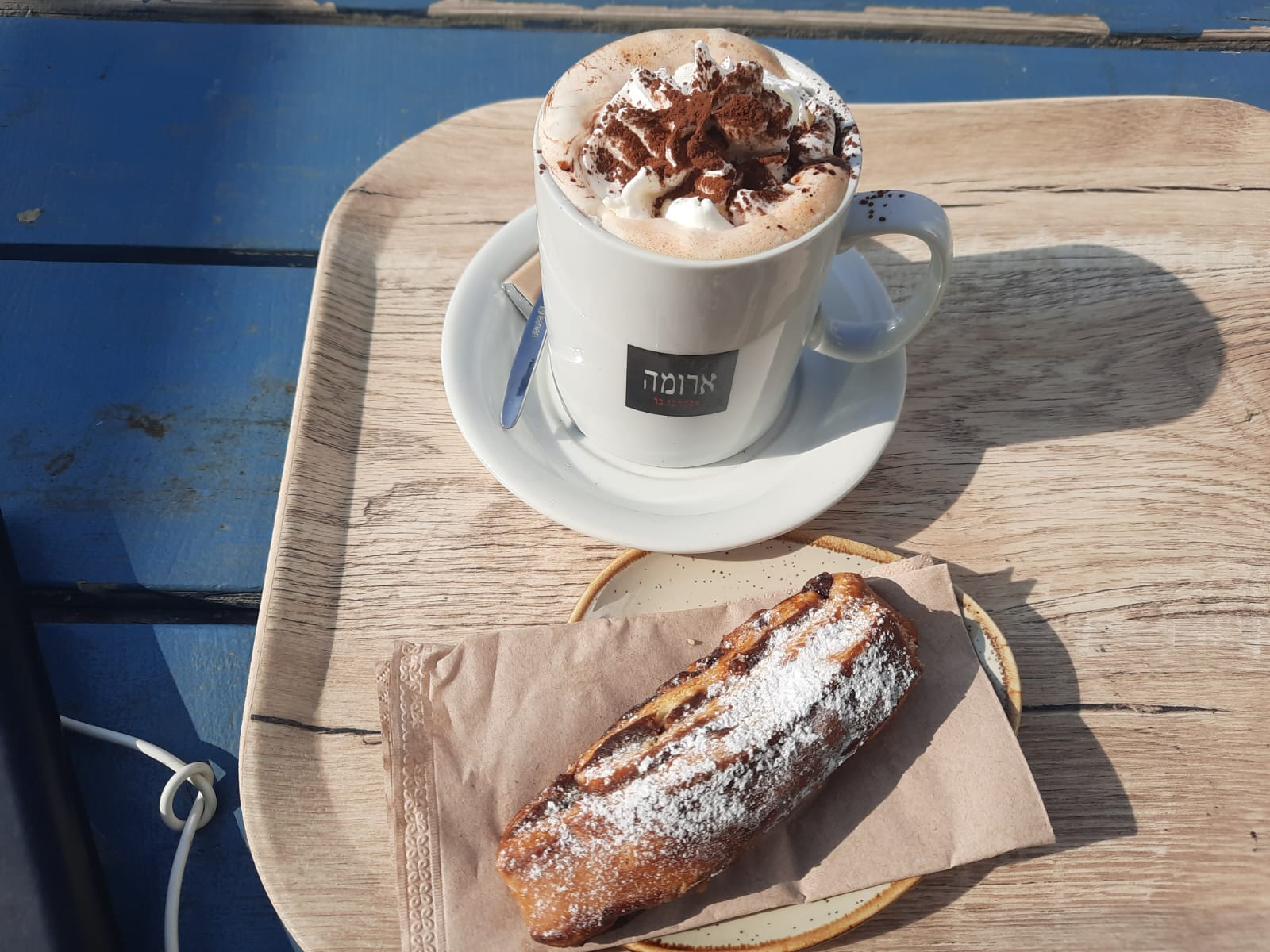
As per custom, every good hike ends with a coffee and pastry at Aroma.
