Route type: circular
Difficulty level: Easy
Distance: 5.4 km
Waze to start point: 31.684975, 34.970602
Notes:
- Start with the sunrise to beat the heat.
- Good for dogs.
Having cancelled our plan to hike the 2nd section of the INT due to bad weather, I still needed a hike – even a short one – before all the Passover insanity took over my life. A quick internet search and I’d pulled up Tel Soche. OK. Good enough! Sometimes short and easy does the job.
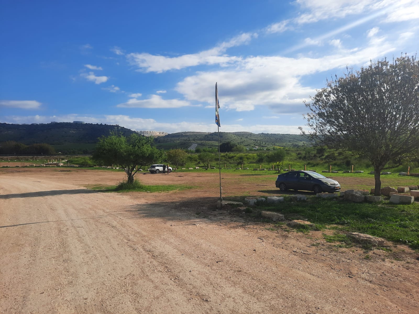
There is a nice, large parking lot just off the road.
We began walking at around 8:45 am in cool, breezy weather. The sun came and went all day. As long as we were moving, we were warm enough. We tried stopping, to soak up the spotty sun, but it never stayed out for long enough to warm us.
Fairly quickly we began our ascent up Mt. Soche.
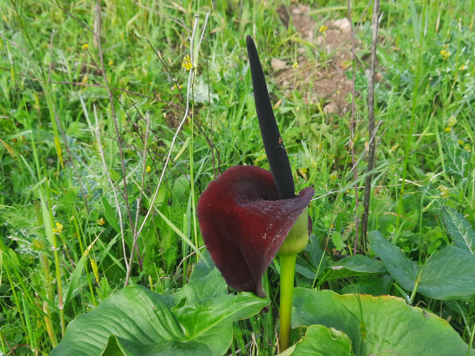
As my friend and I chatted, I couldn’t help but notice, over in the grass to the side of the trail, what looked like a black iris. On closer inspection it was some other kind of black flower. I’m still trying to work out exactly what it’s called.
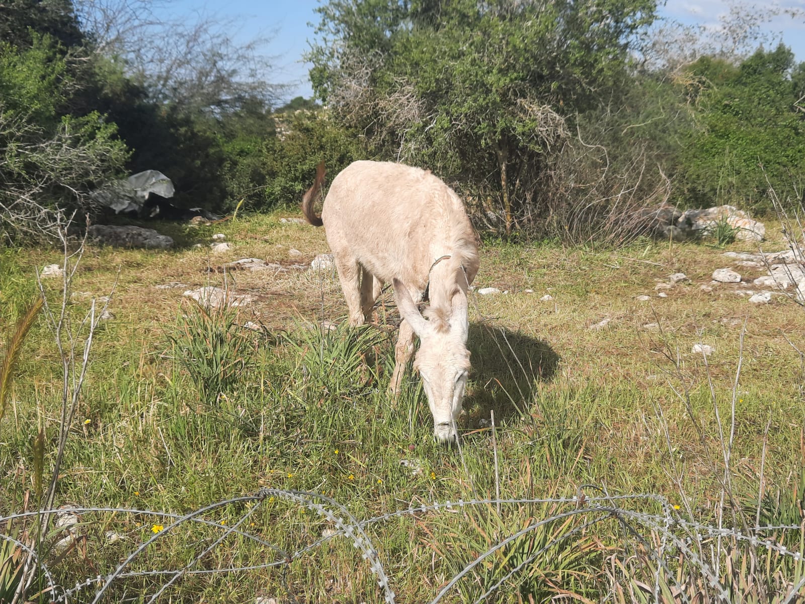
At the first trail junction (black/green) we met a cute donkey who belonged to the Bedouins who were camped just beyond and down the hill with their large herd of goats.
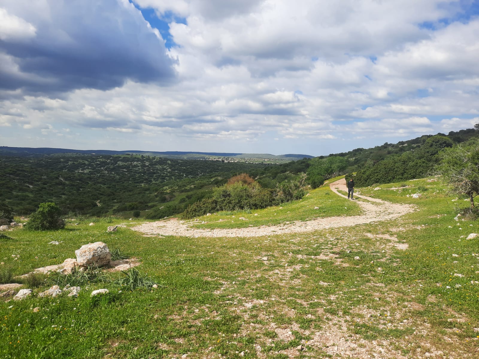
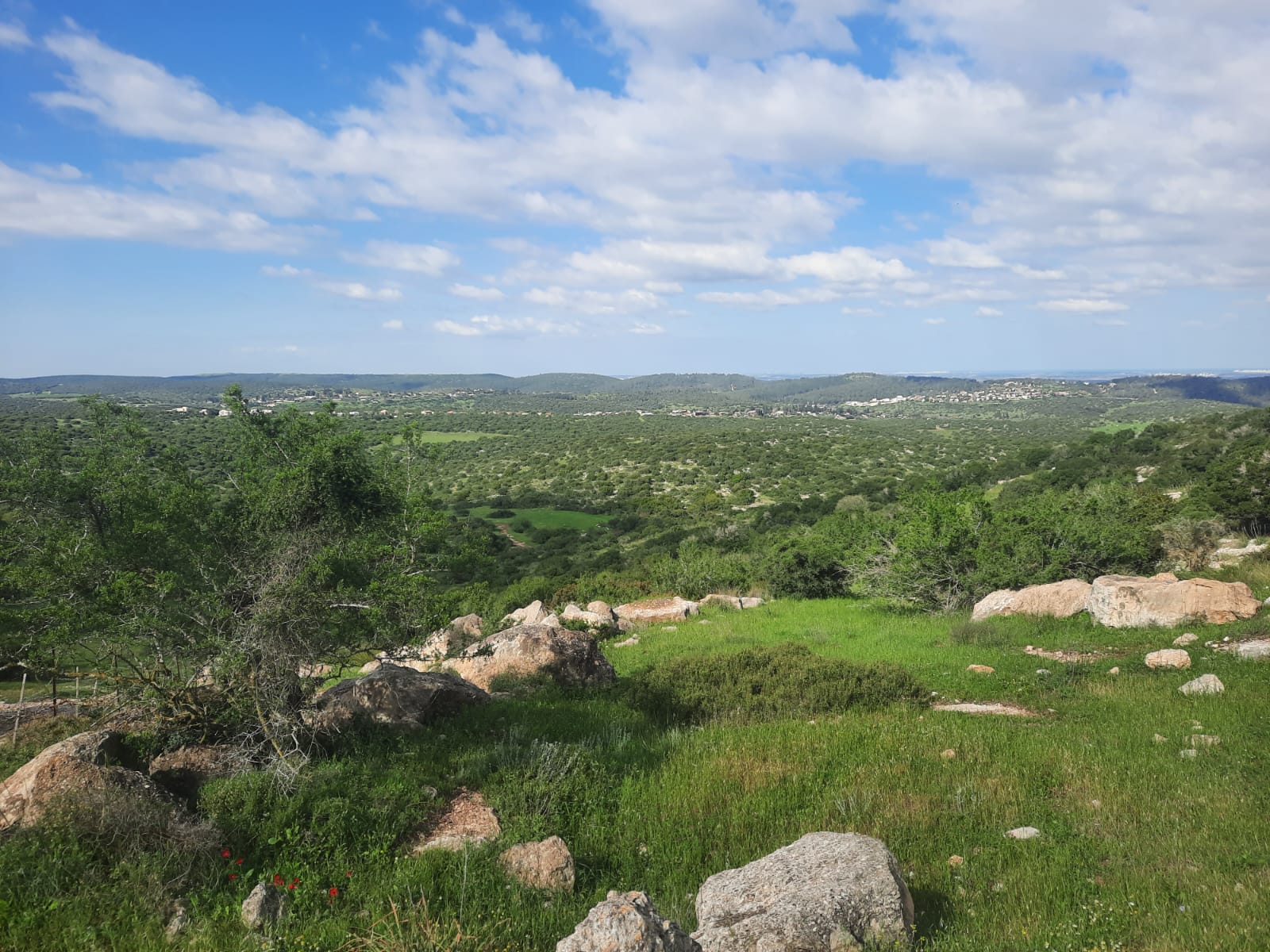
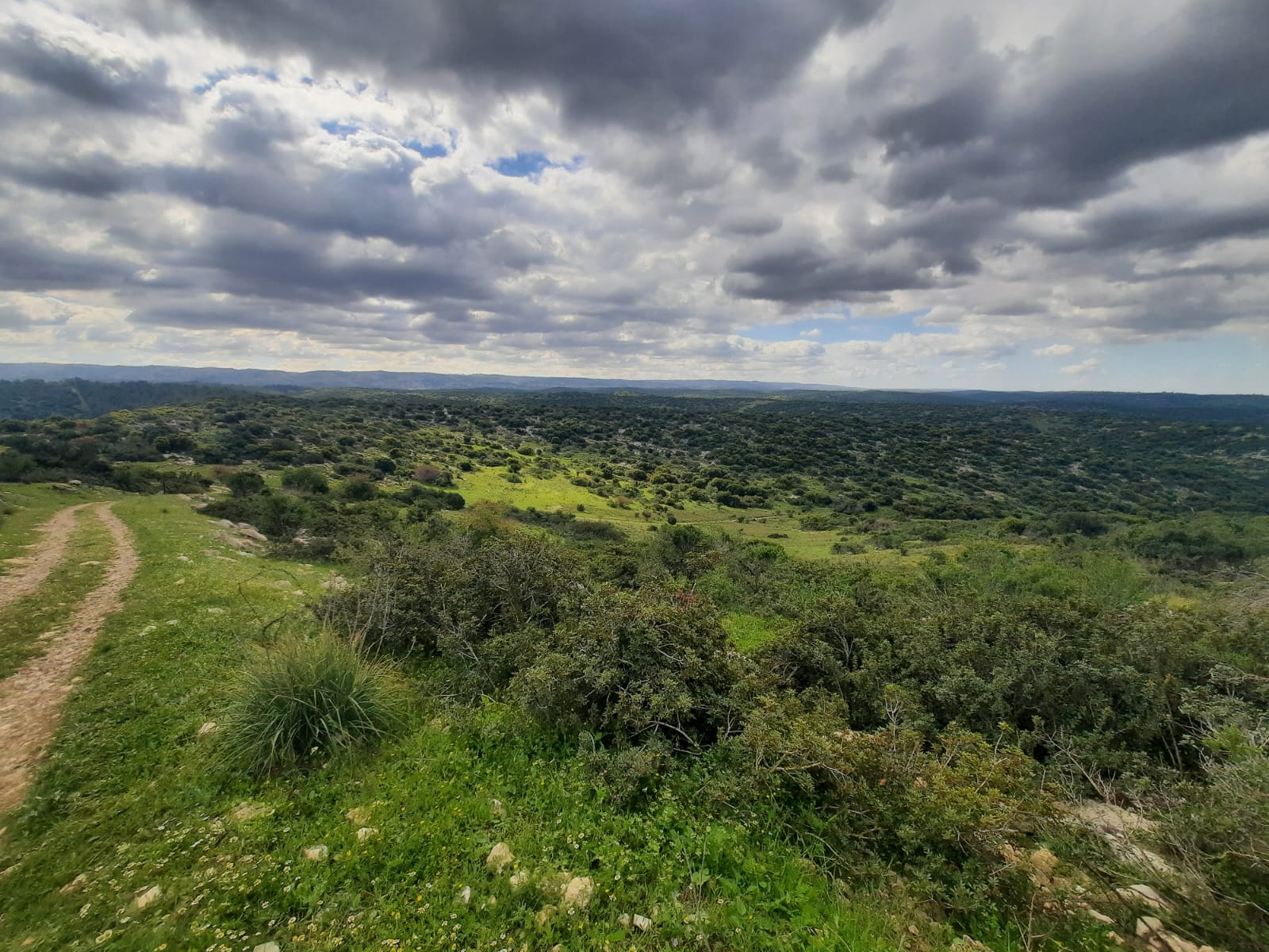
The scenery was still so, so green and the clouds were my favorite kind – dark bottoms, white, fluffy tops.
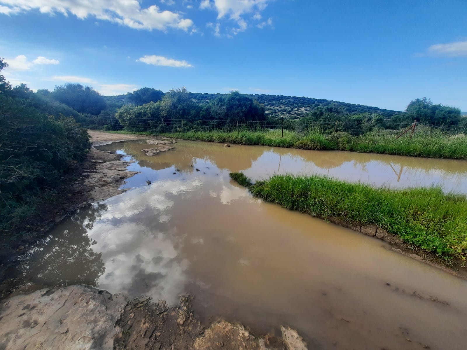
At the top of the mountain the terrain leveled out somewhat and we encountered some large puddles from the recent rain but nothing that we couldn’t circumnavigate.
The quantities of greenery that were spread out before us in all directions was insane! It looked like a different country – Ireland, maybe. Hard to believe that in another month or so, all this will be yellow-brown and parched. In the meantime, we have our blink-and-you’ll-miss-it spring.
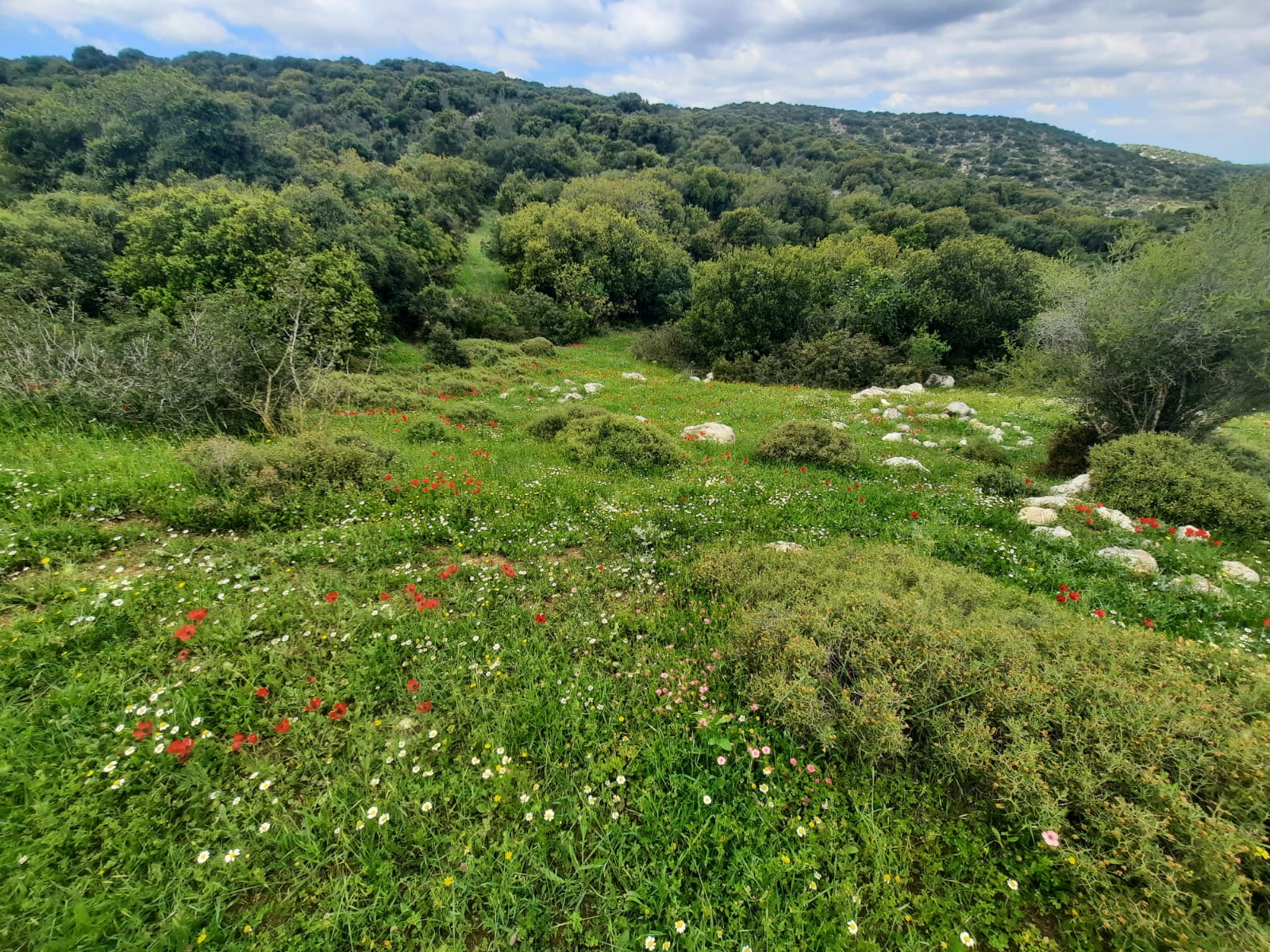
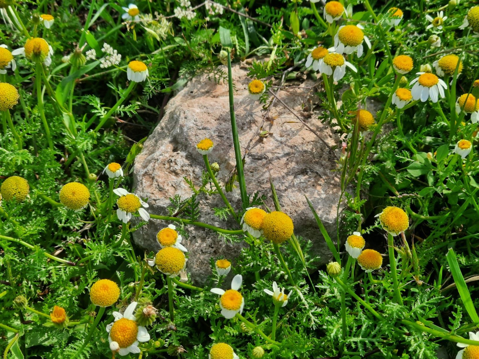
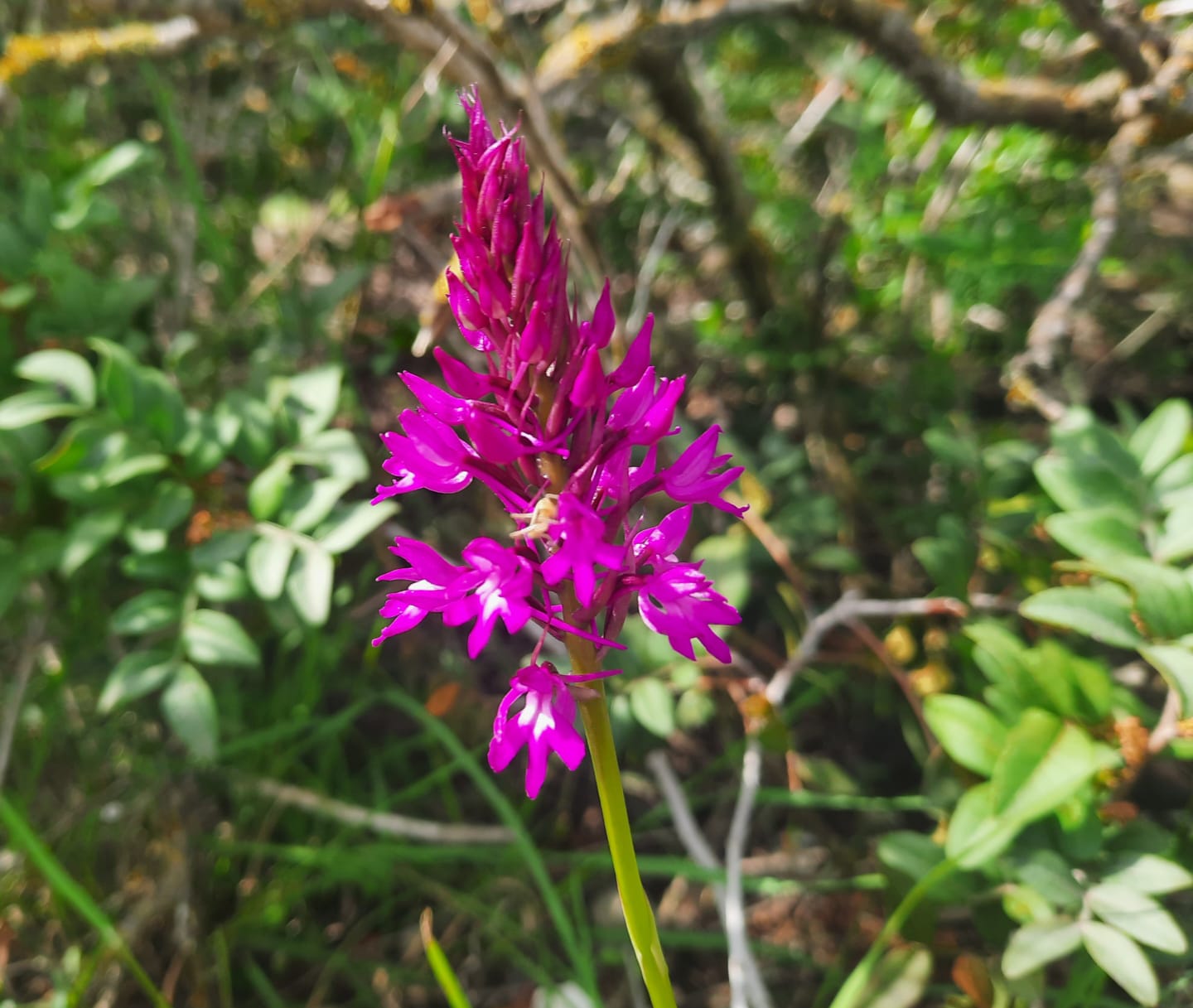
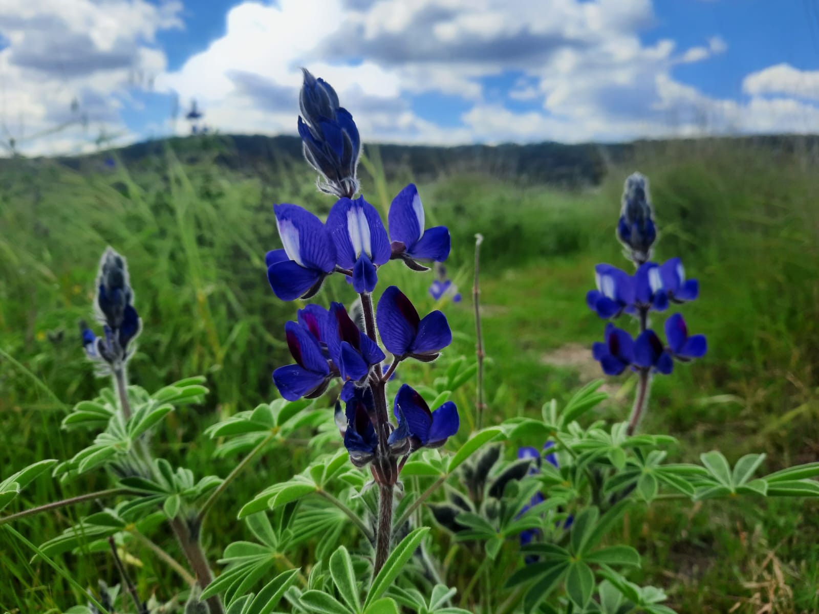
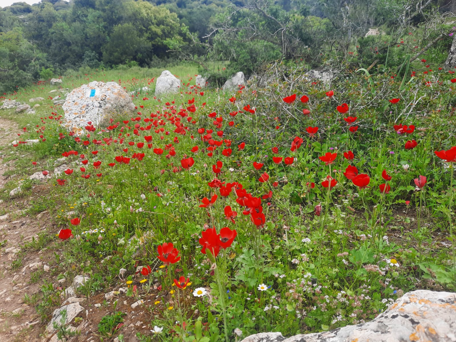
Flowers were blooming in riotous abandon. We didn’t know where to look first. So many kinds, sizes and colors! Cyclamen, blue lupine, red poppies and others we couldn’t name.
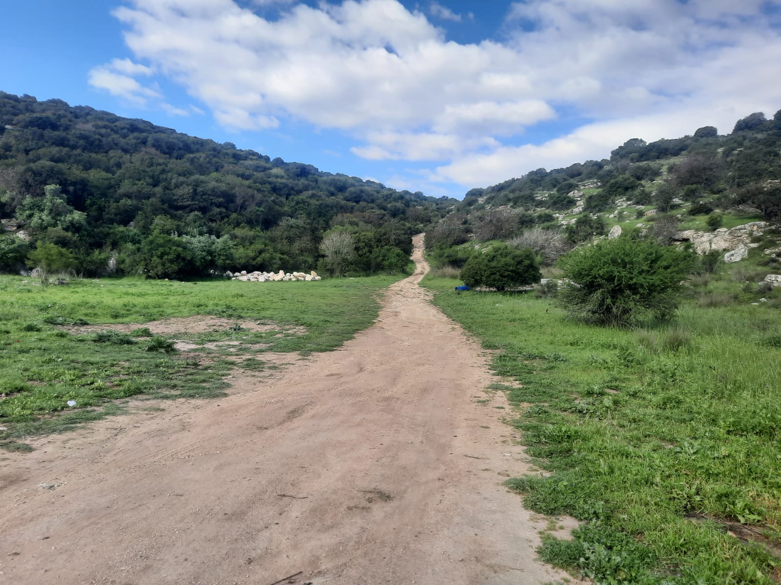
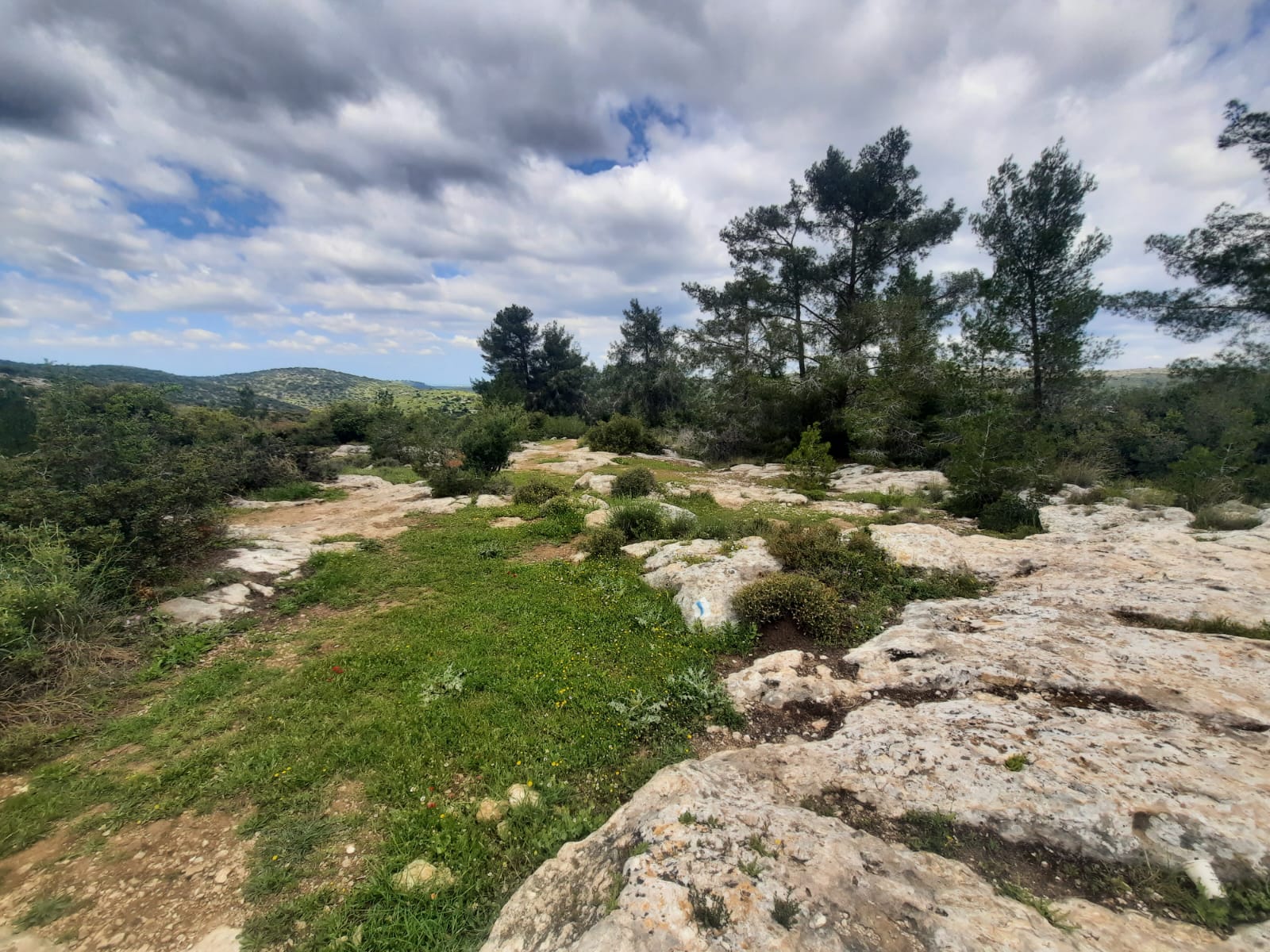
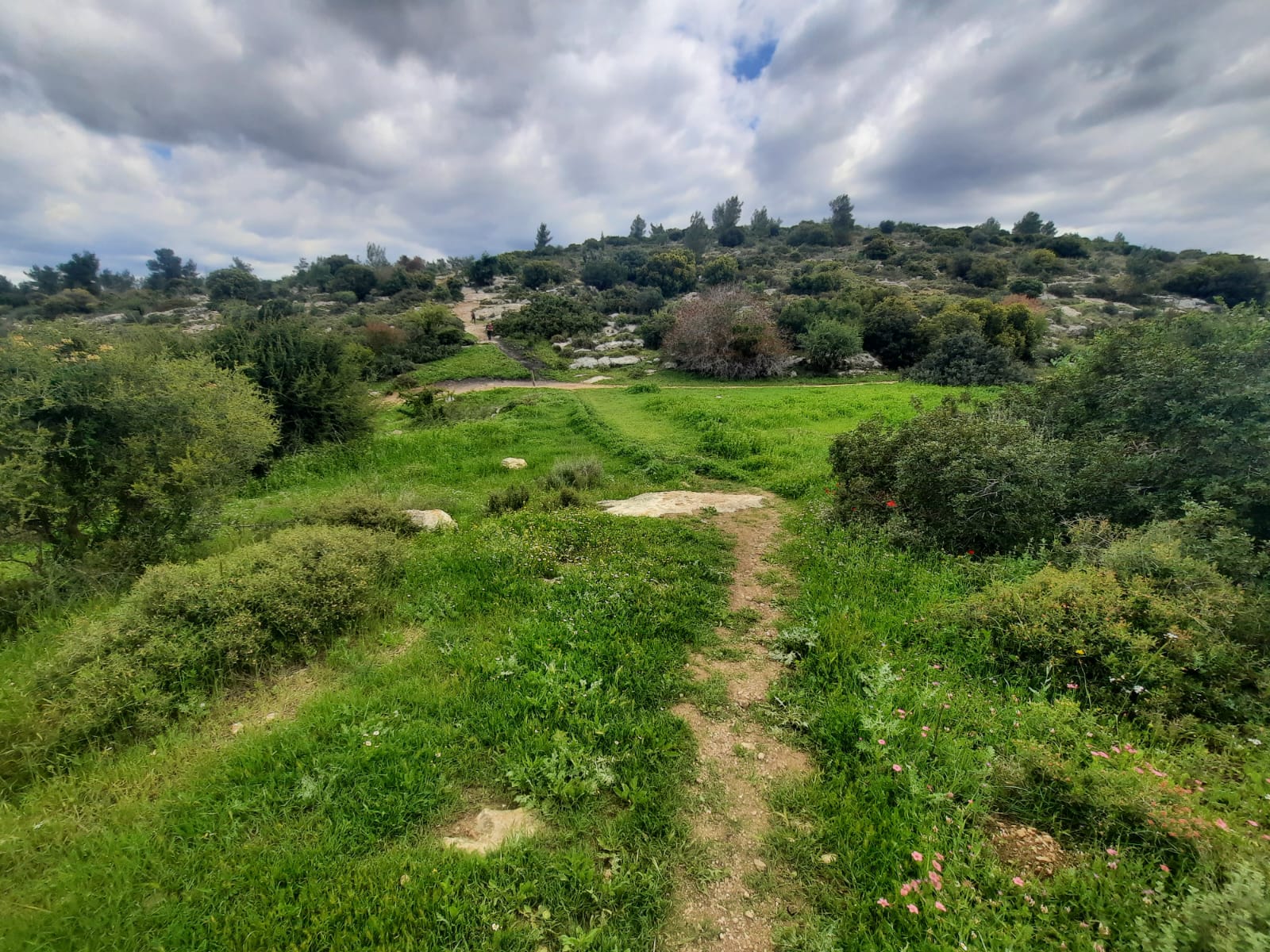
After you summit Mt. Soche, there is an easy descent beweent kilometer 2.18 and 4.41. Then there is a last short, easy ascent to the top of Tel Soche.
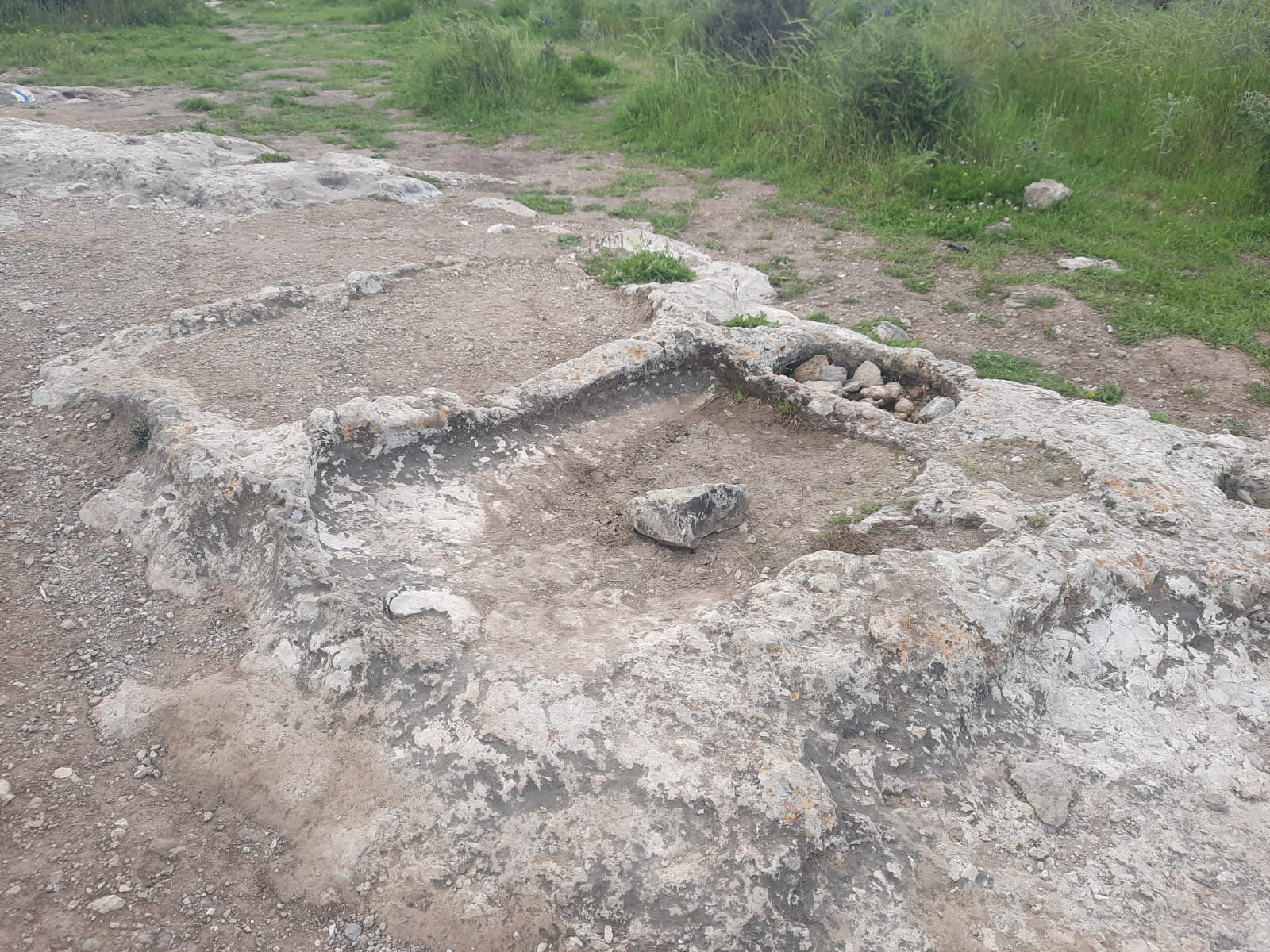
Today Tel Soche is also known as Givat HaTurmusim (Lupine Hill), so named for the blue lupines that bloom here in the spring. The tel, which from the top affords a sweeping view of the Ela Valley where David fought Goliath, was occupied as early as the Iron Age. It was visited by Claude Conder in 1881, who writes that it was already a ruin in his days.
Alongside the trail that goes up and over the tel and down the other side, there was evidence of ancient civilization in this location. One can see the foundations of ancient dwellings carved into the bedrock with individual chambers divided by broken stone protuberances. Caves dot the landscape. Oak and fig trees grow on the mountainside and piles of large boulders, covered with lichen, attest to the presence of a defensive wall around the city in ancient times.
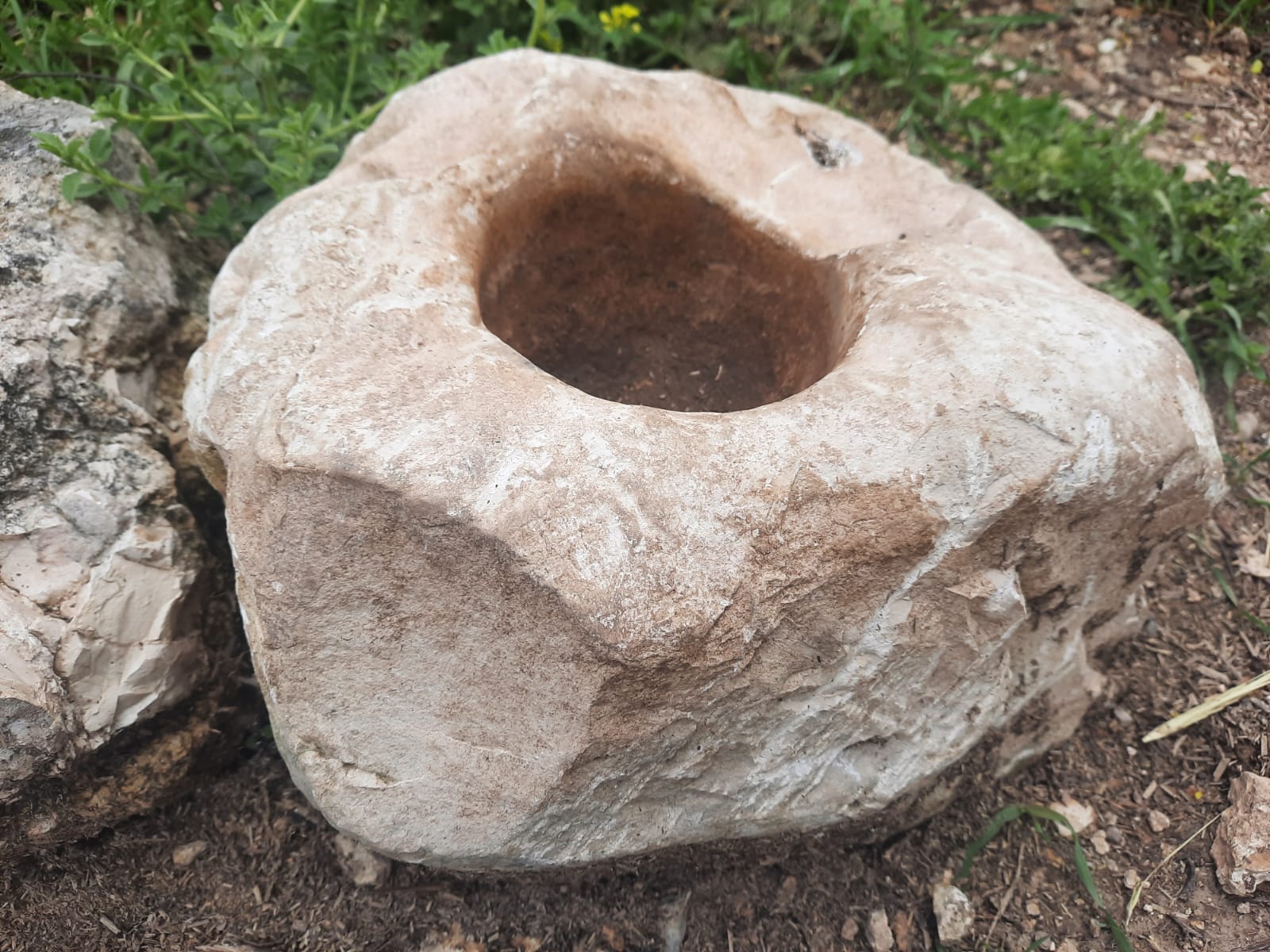
A bowl or basin of some kind? Or maybe a mortar for grinding herbs?
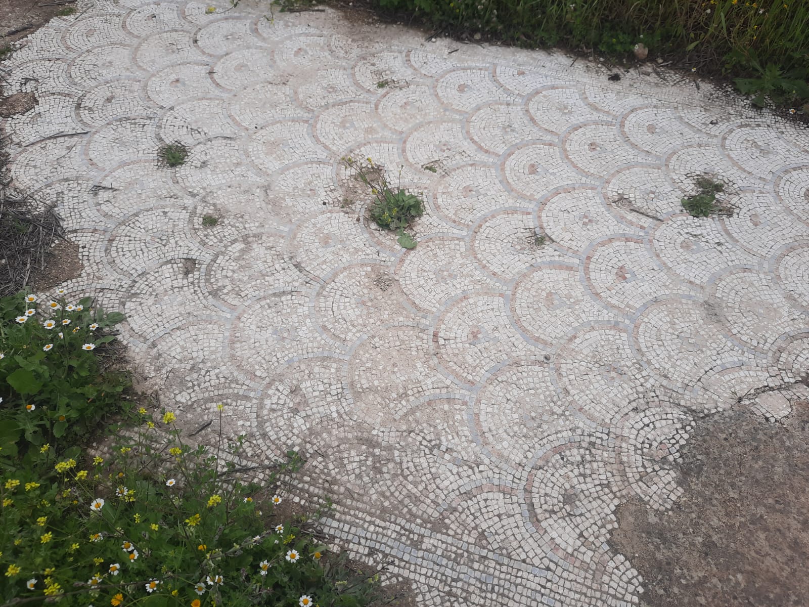
Half a second before we had completed the loop and returned to our car, we came upon the remnants of a mosaic floor, half hidden in the grass. According to the signage posted next to it, explained that it had been excavated in 2010 and the floor had been part of a Byzantine era building (5th and 6th centuries).