NEW FEATURE! Route in 3D
Route type: Point to point
Difficulty level: Moderate (ascents aren’t difficult, just a tad long)
Distance: 14.6 km
Waze to end point where we left car #2: 33.143925, 35.554297 – This is next to an army base so there is lighting and presence in case of car theft worry.
Waze to Thursday night camping and where we left car #1: Roaring Lion Monument – you can camp beside the parking lot.
Notes:
- 2nd half of this was a bit exposed to the sun but there were trees at the side of the trail occasionally where you could find some shade
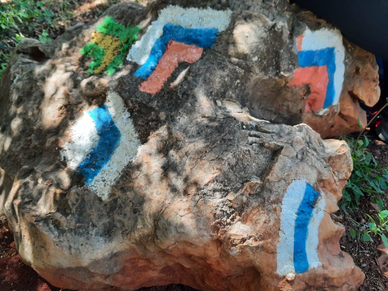
- At 0.4 km, a T junction, there was no trail marking. Turn right!
- At 12.2 km, there is a left turn that we missed because we did not see any trail marker.
After having to delay Section 2 of the INT twice due to bad weather, we finally got a week of dry weather and conditions were optimal for our next adventure. (Read about INT Section 1 here.)
This time there were three of us. All parties had their cars packed with camping gear and food in order to make the 2+ hour drive to the north immediately after work on Thursday. We met at the end point to leave one car and drove another 16 minutes to the start point where we camped and left car #1 next to the Roaring Lion Monument at Kfar Giladi.
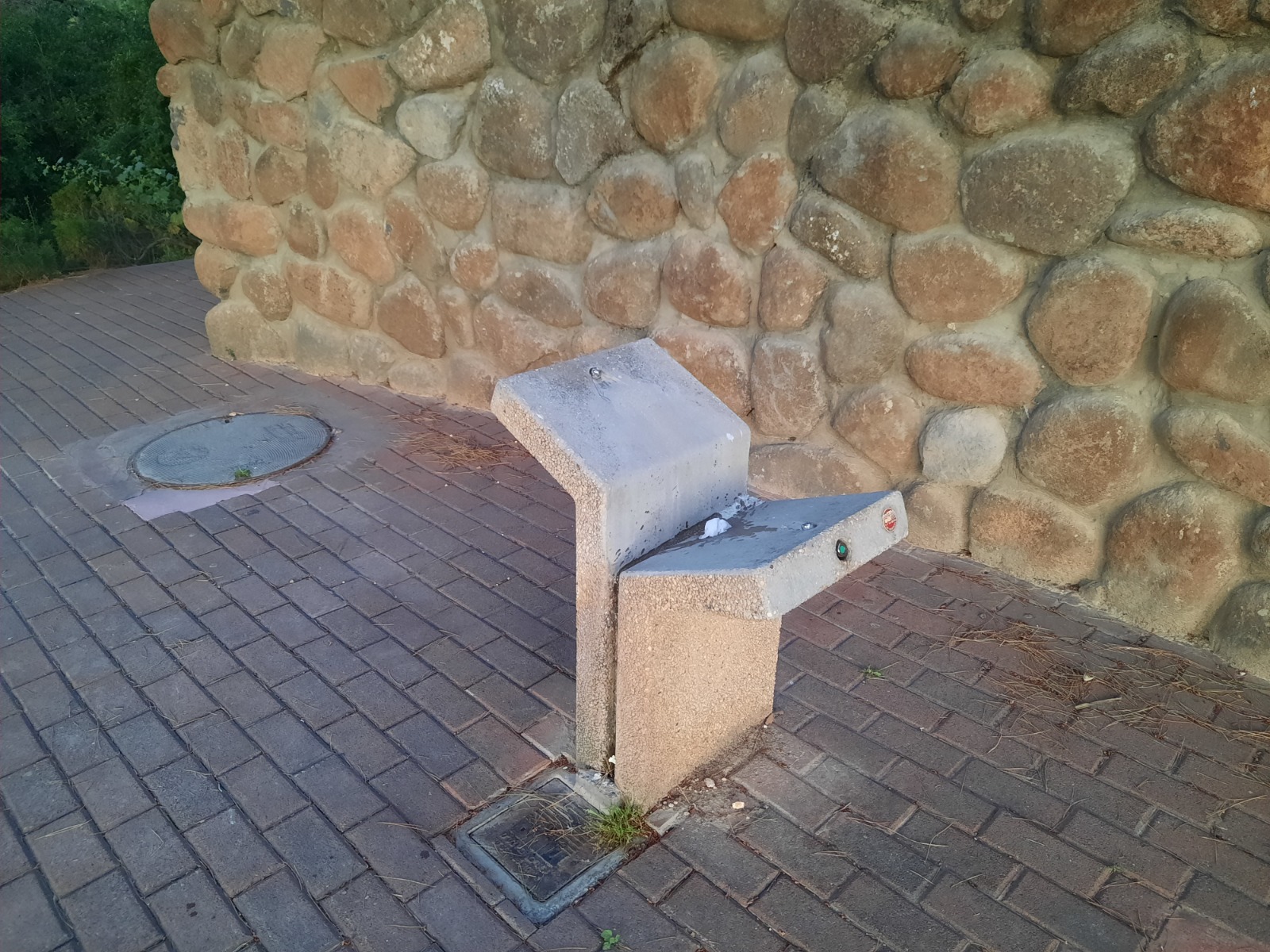
Fortunately, there were bathroom facilities nearby (LUXURY!), the parking lot was dimly lit all night and if we had needed to fill water bottles, there was even a working drinking fountain outside the bathrooms.
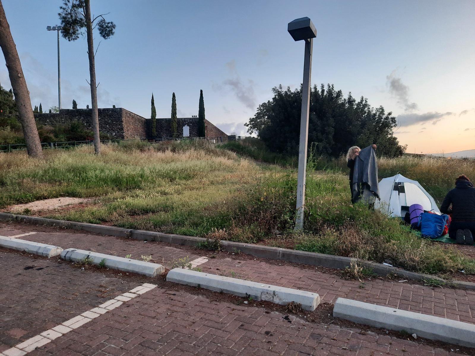
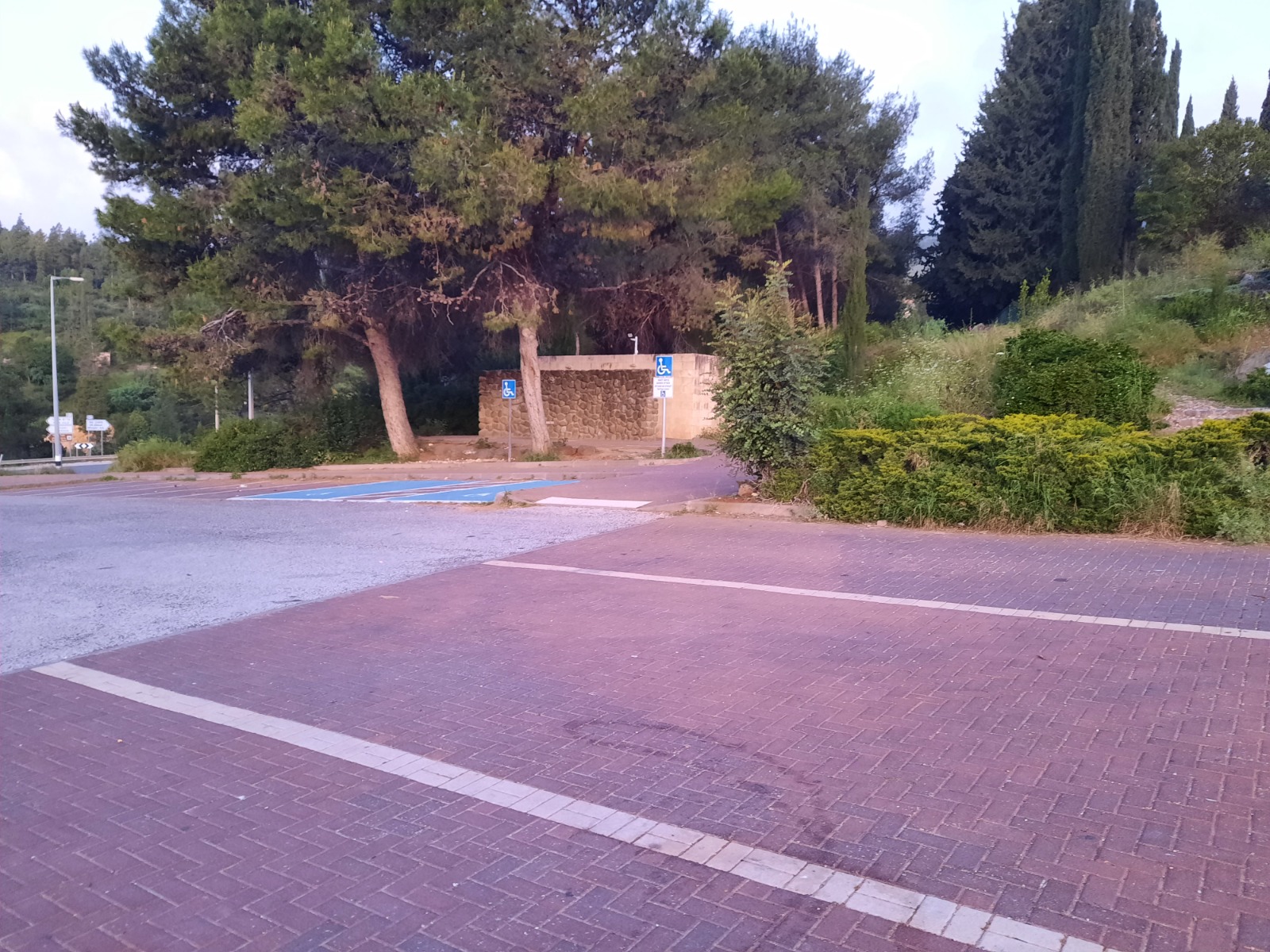
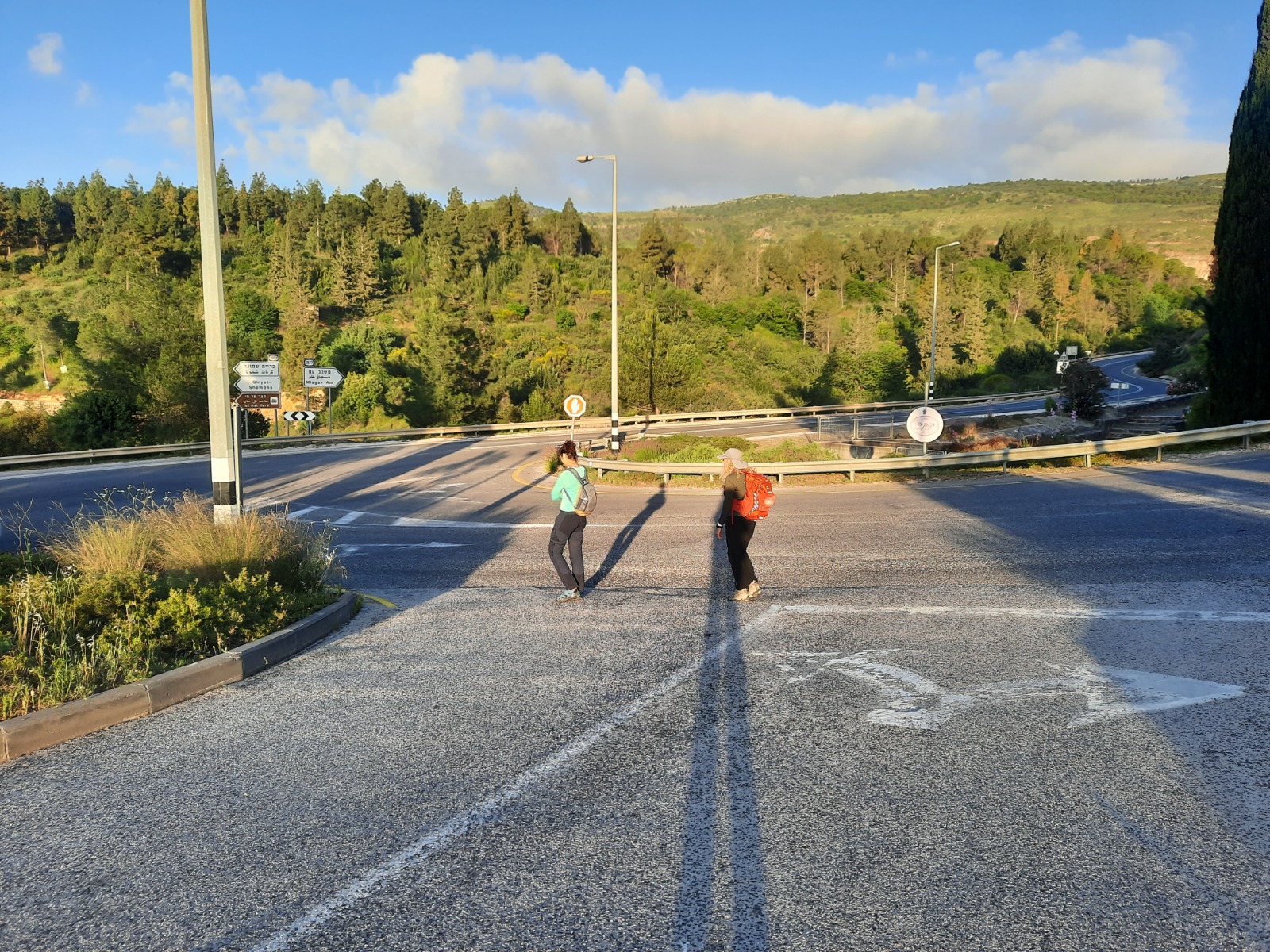
We rose at 5:25, packed all the camping gear back into the car, had a light breakfast and coffee and hit the trail by 6:40. The early morning sun cast long shadows.
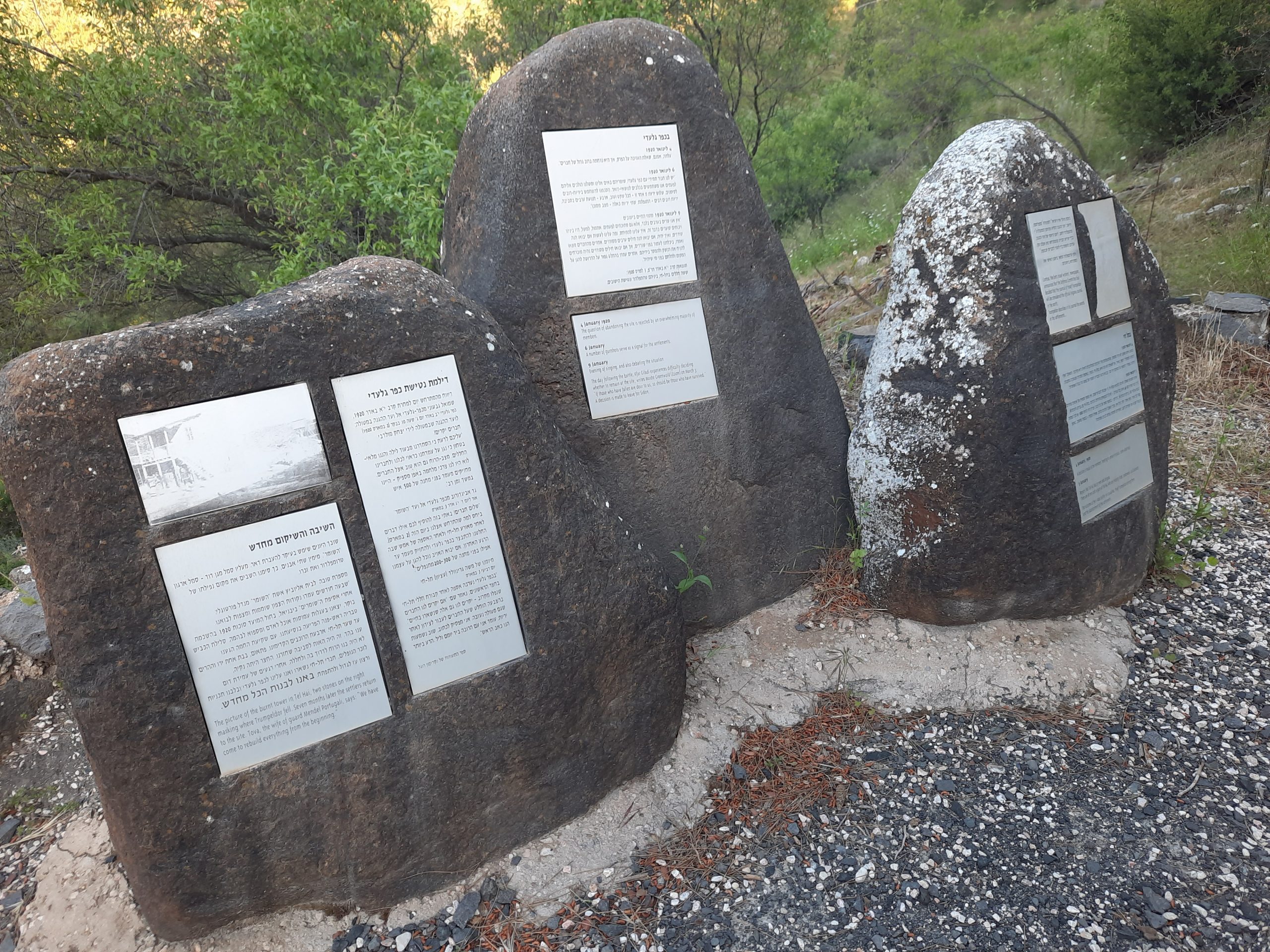
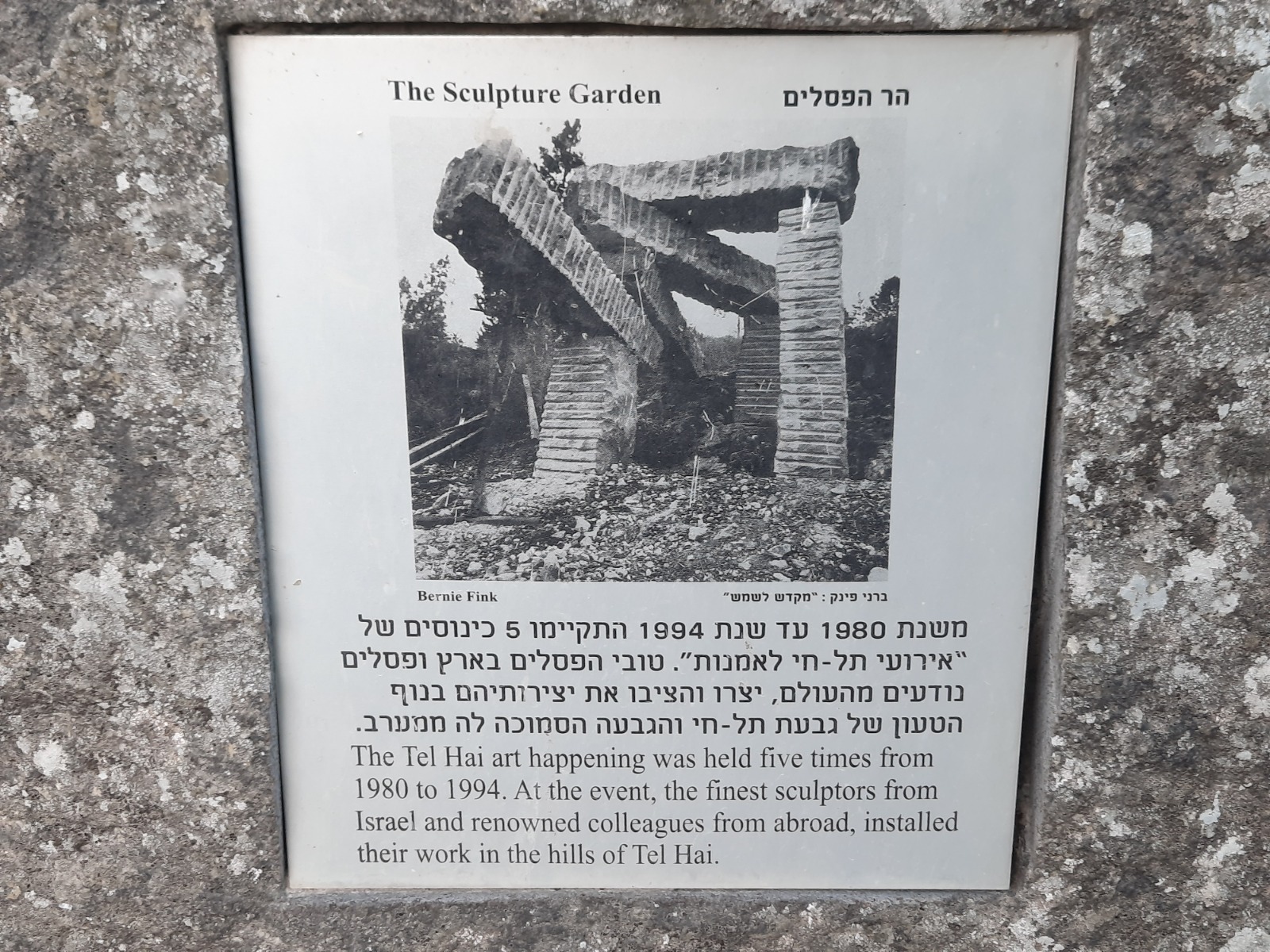
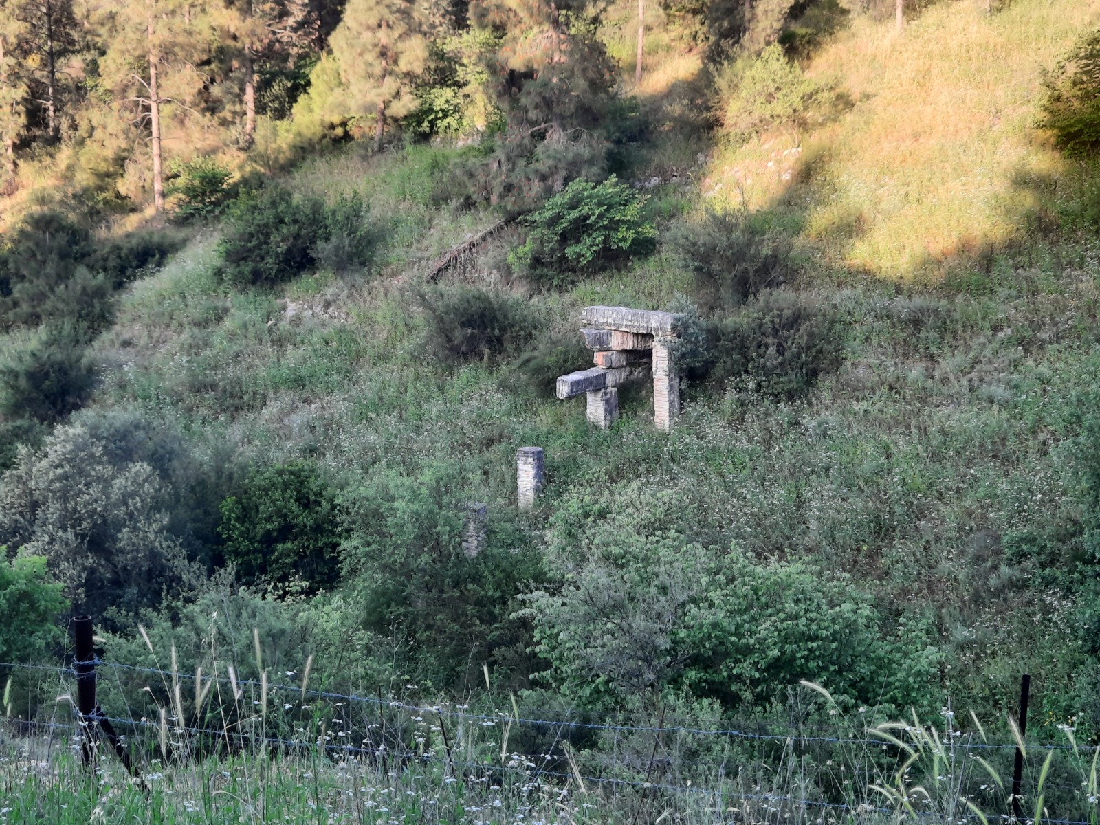
The trail leads down into the Tel Hai Sculpture Park. Along the way are descriptions of the sculptures as well as the story of what happened at Tel Hai in 1920. You can read more about it here.
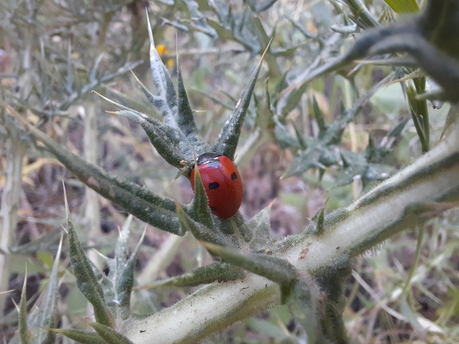
I don’t know how I spotted this, deep in the tangle of grasses at the side of the trail. I’m a sucker for lady bugs.
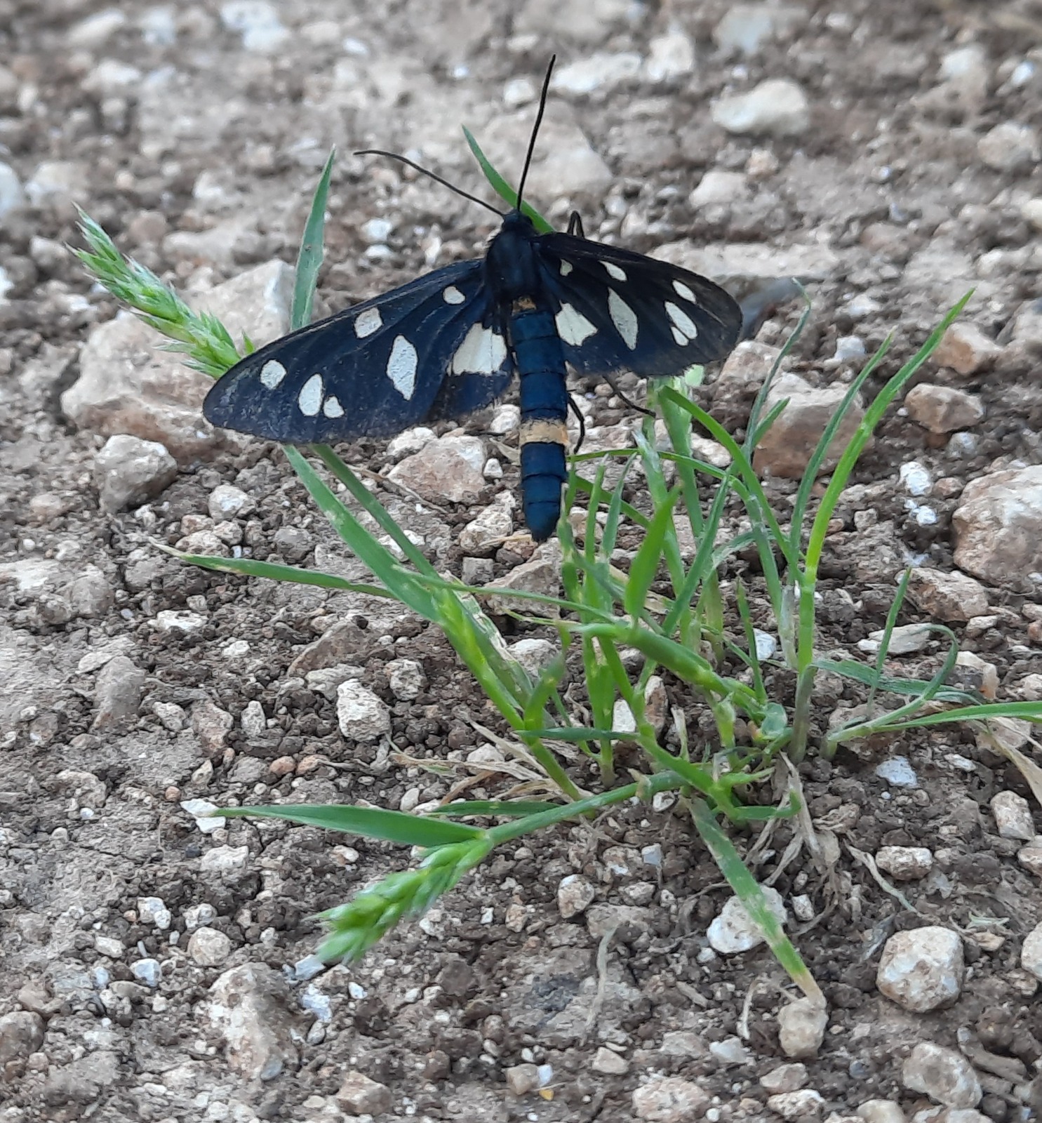
The air was full of butterflies – orange, black, yellow, white – busily doing what butterflies do.
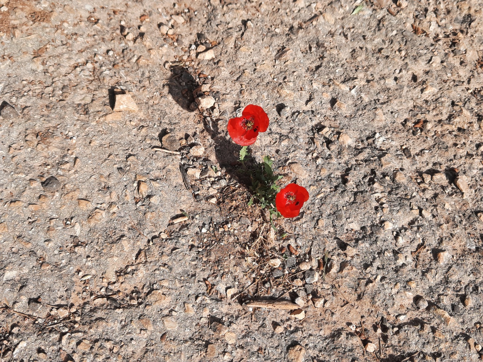
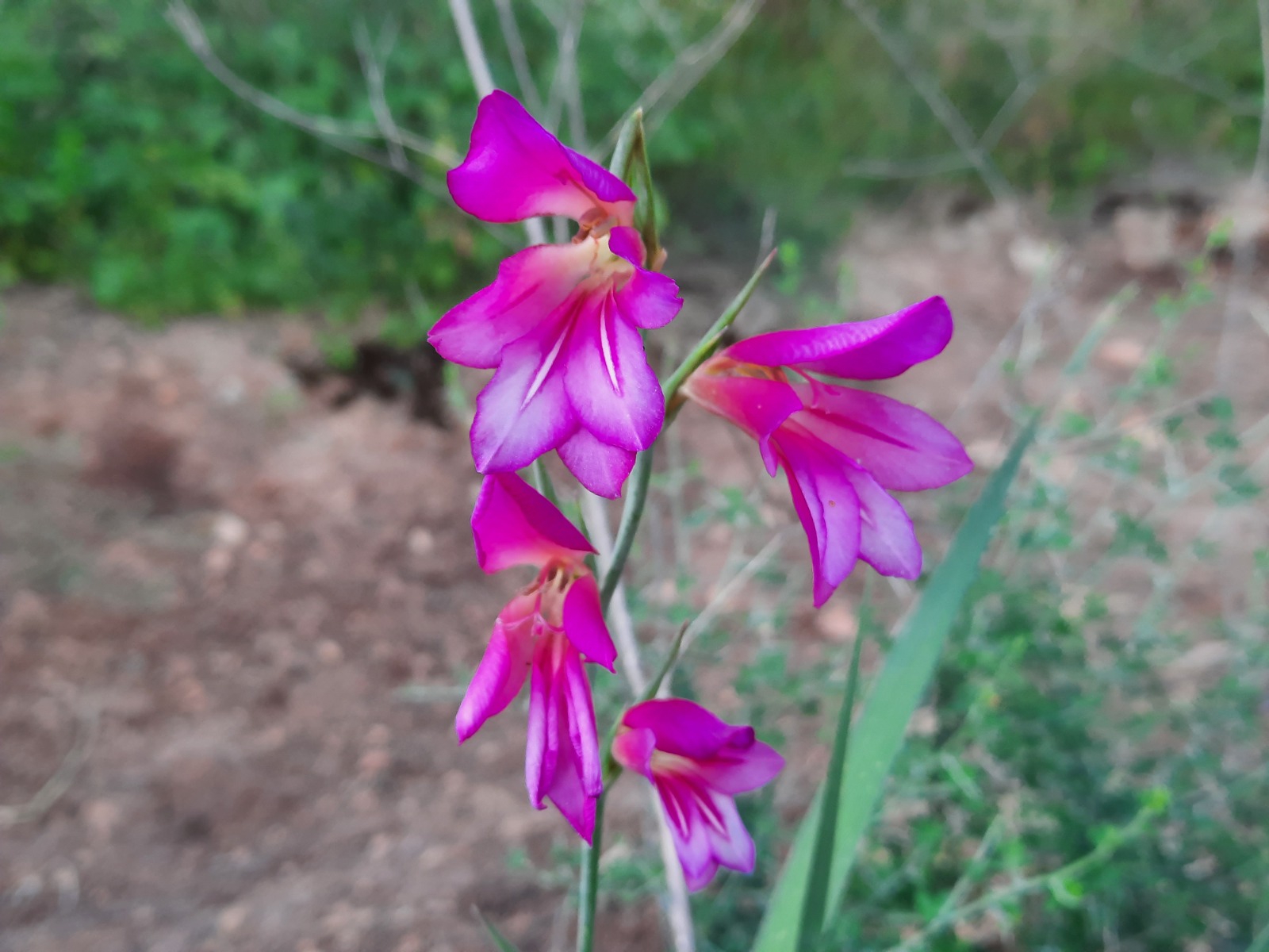
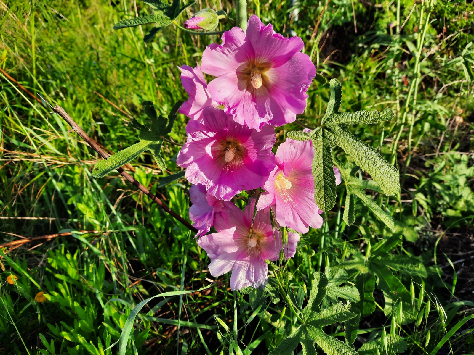
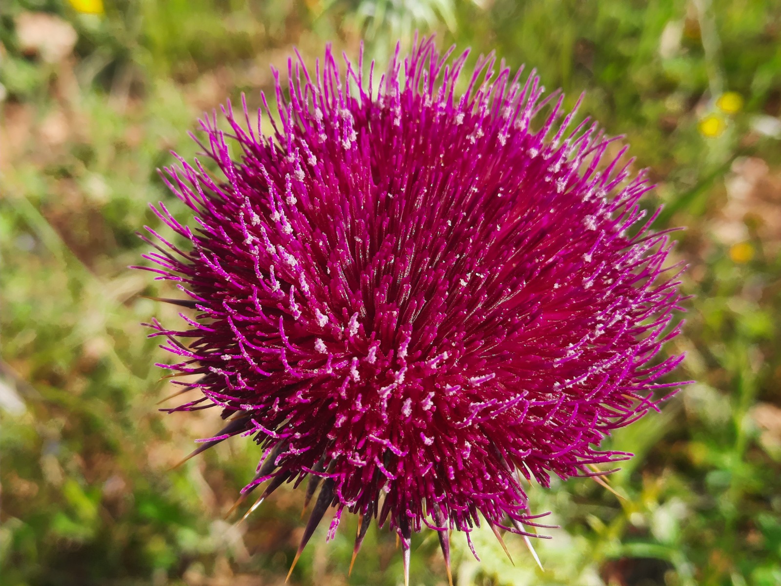
The recent late storm meant that everything was still lush, green and in bloom.
At the 1.02 km point, you will see this sign and trail map at the entrance of the Naftali Mountains Forest.
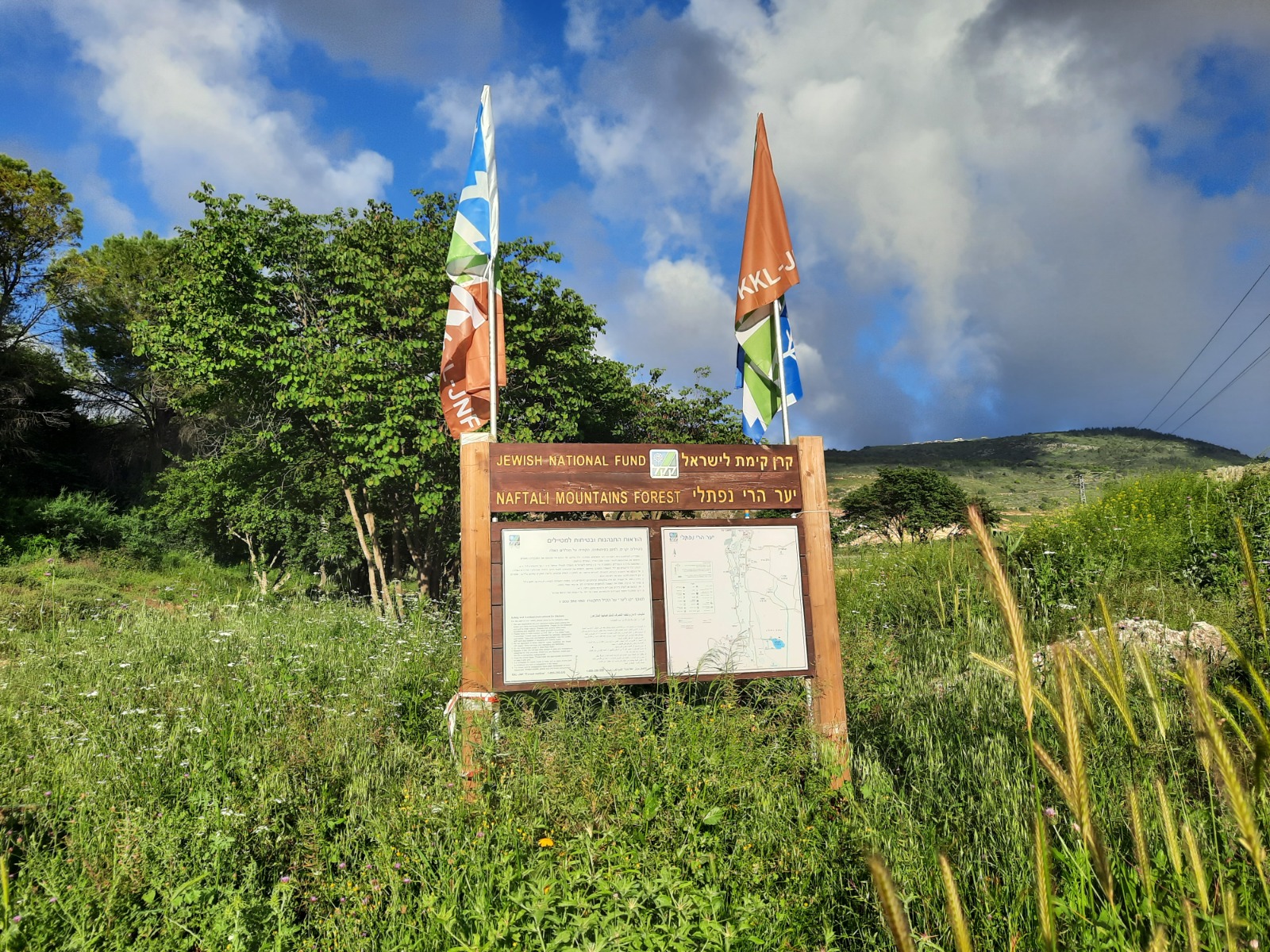
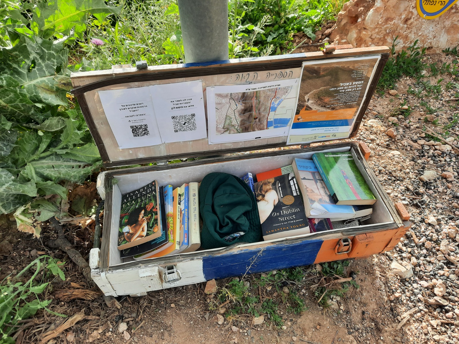
At the base of the sign, we encountered the first of the INT give/take libraries. These boxes, painted with the white/blue/orange of the trail, are located sporadically along the entire length of the INT. There were two novels in this box which were in English so I took them.
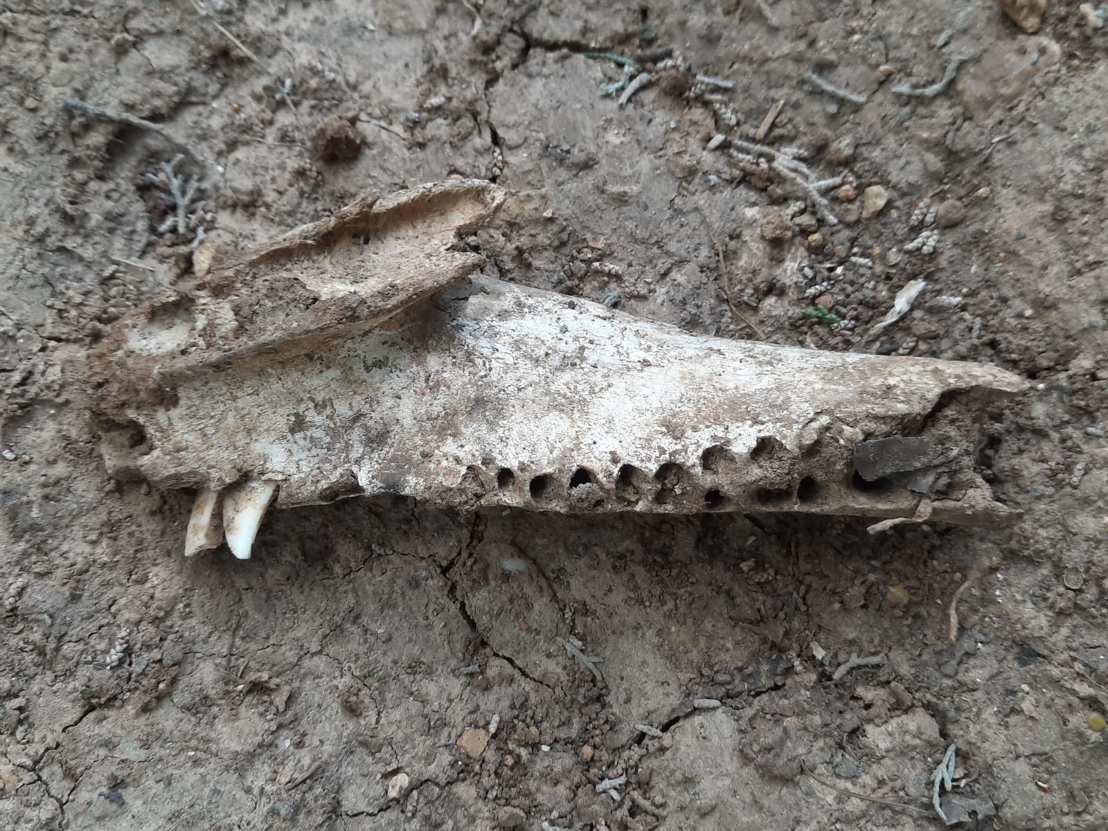
Only a few minutes into the forest, we found these lying on the trail. Oh, the things we find!
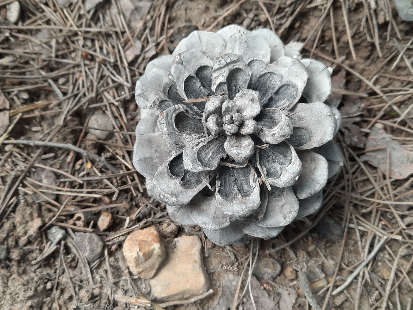
Up until the 8.6 km point, the trail was fairly shady. This area felt very Hansel and Gretel-y to me.
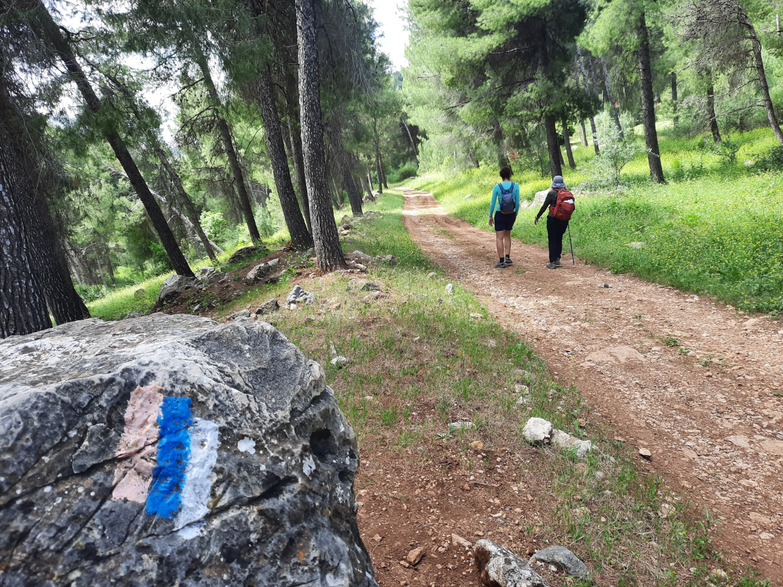
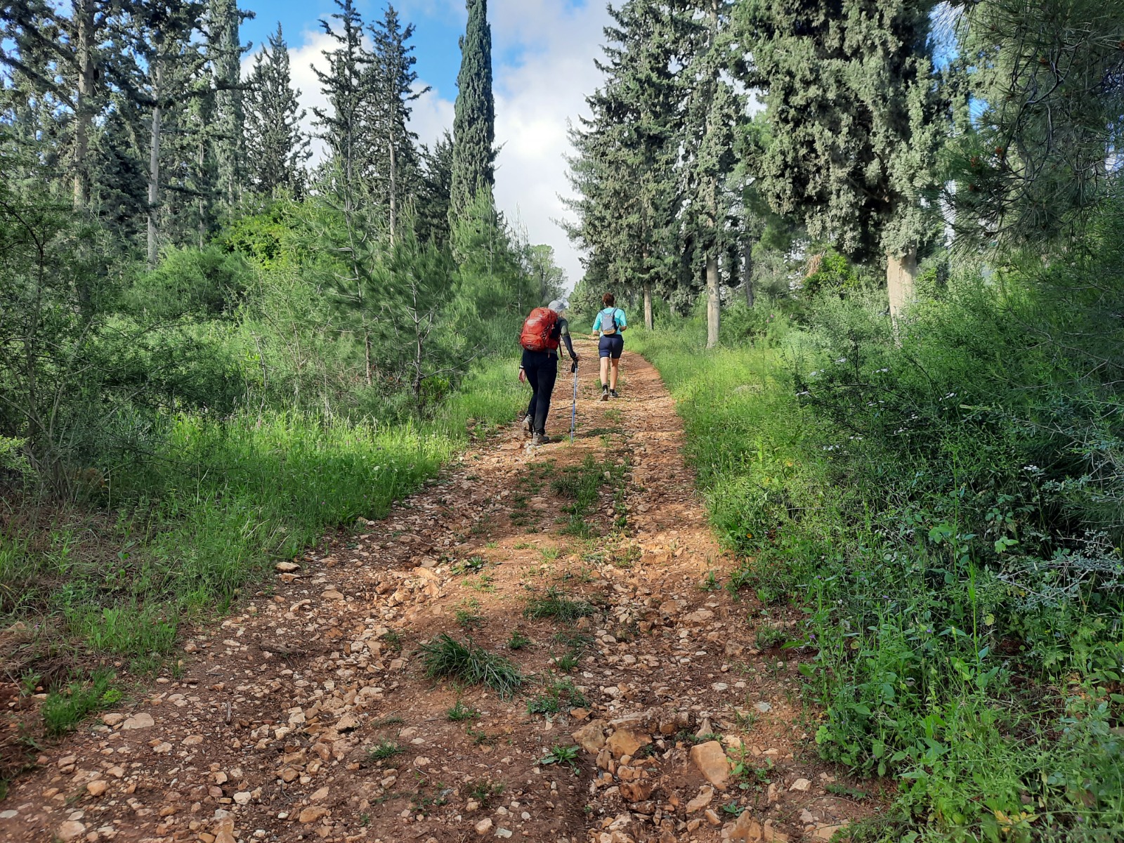
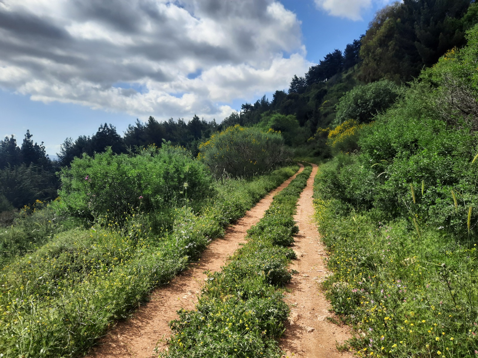
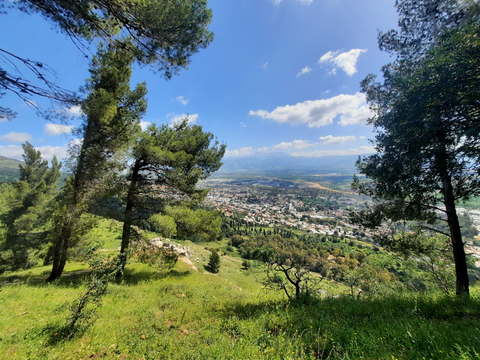
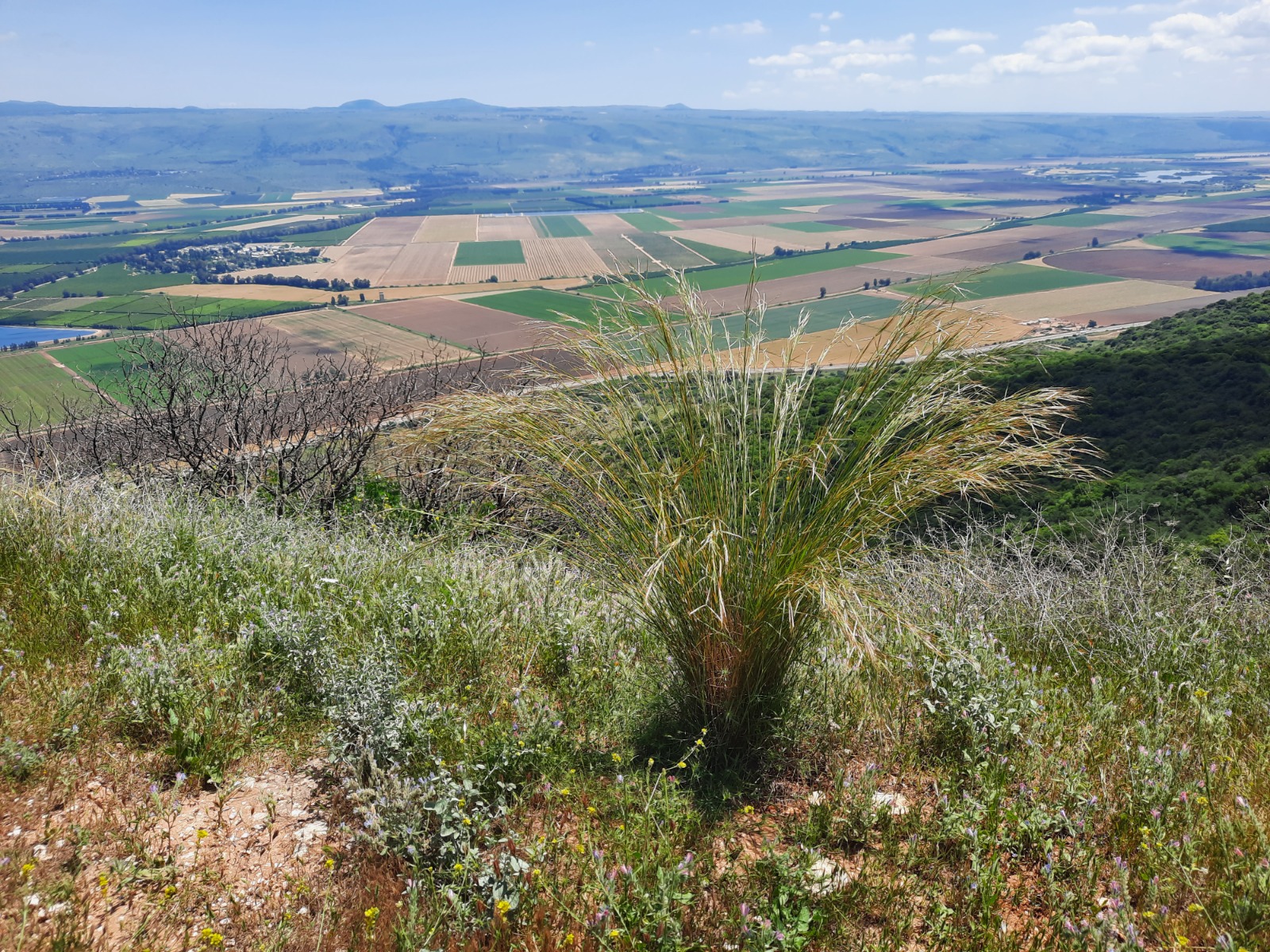
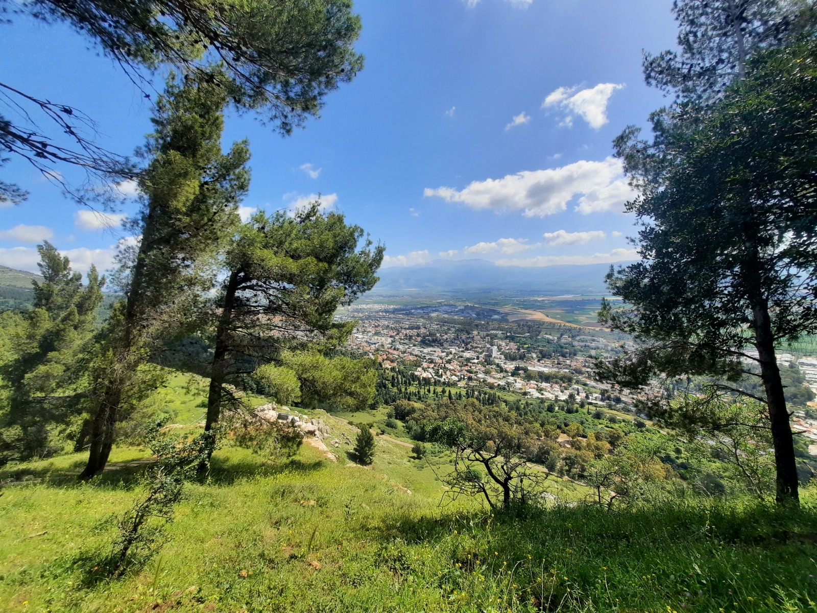
All along, there were breathtaking views out over the Hula Valley, Kiryat Shemona and snow-capped Mt. Hermon in the far distance. Pictures do not do the views justice!
The Hula valley is part of the Great Rift Valley that stretches from Lebanon to Mozambique. In Israel it follows the Hula Valley (where an enormous variety of birds stop over twice a year in the their migrations), the Sea of Galilee, the Jordan Valley, the Dead Sea, the Arava and the Gulf of Eilat.
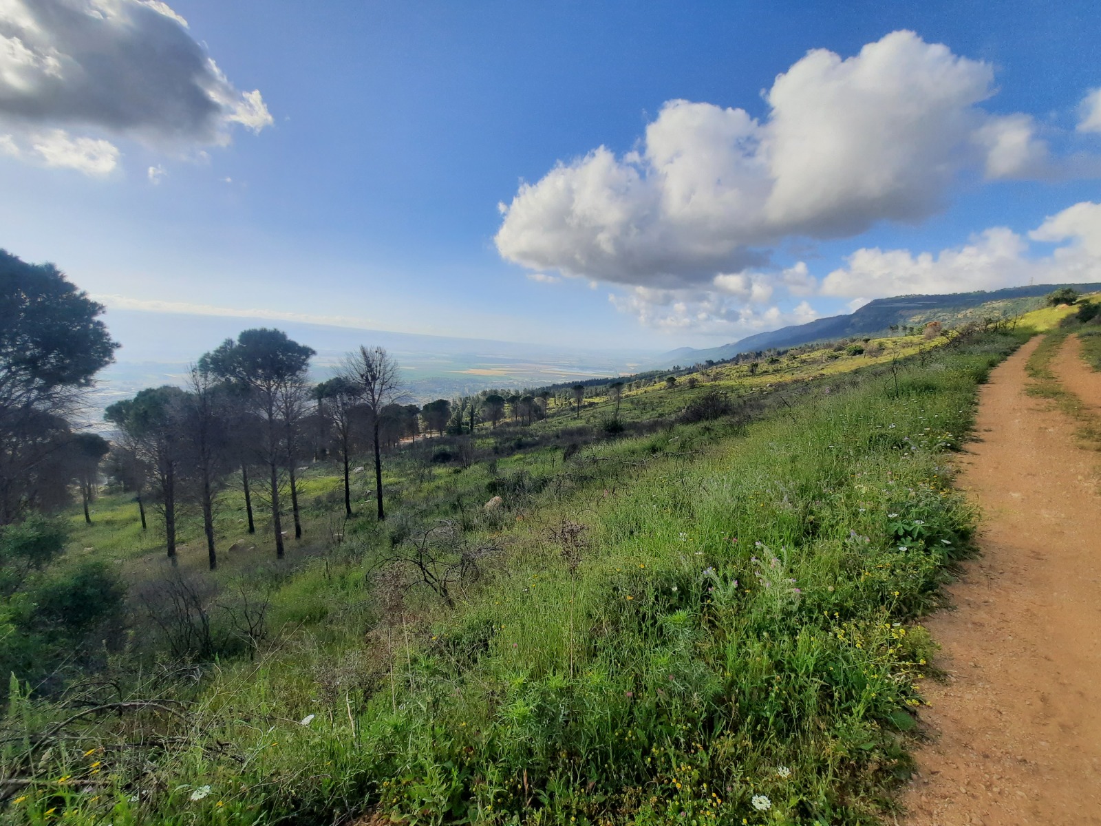
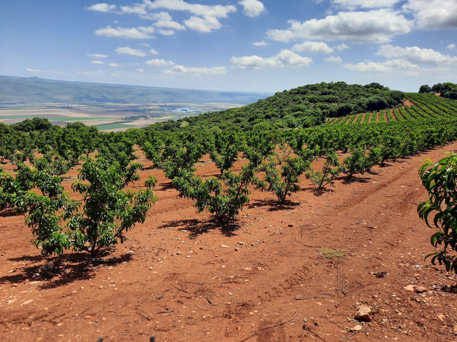
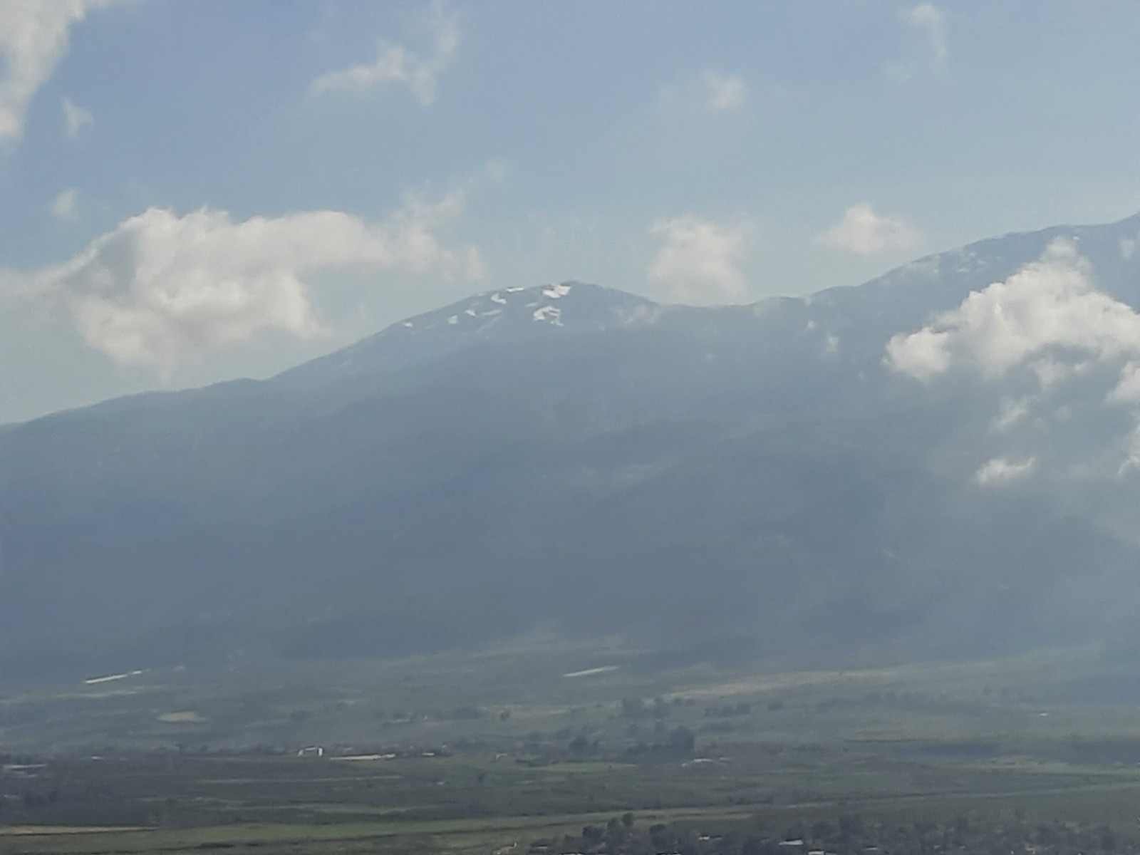
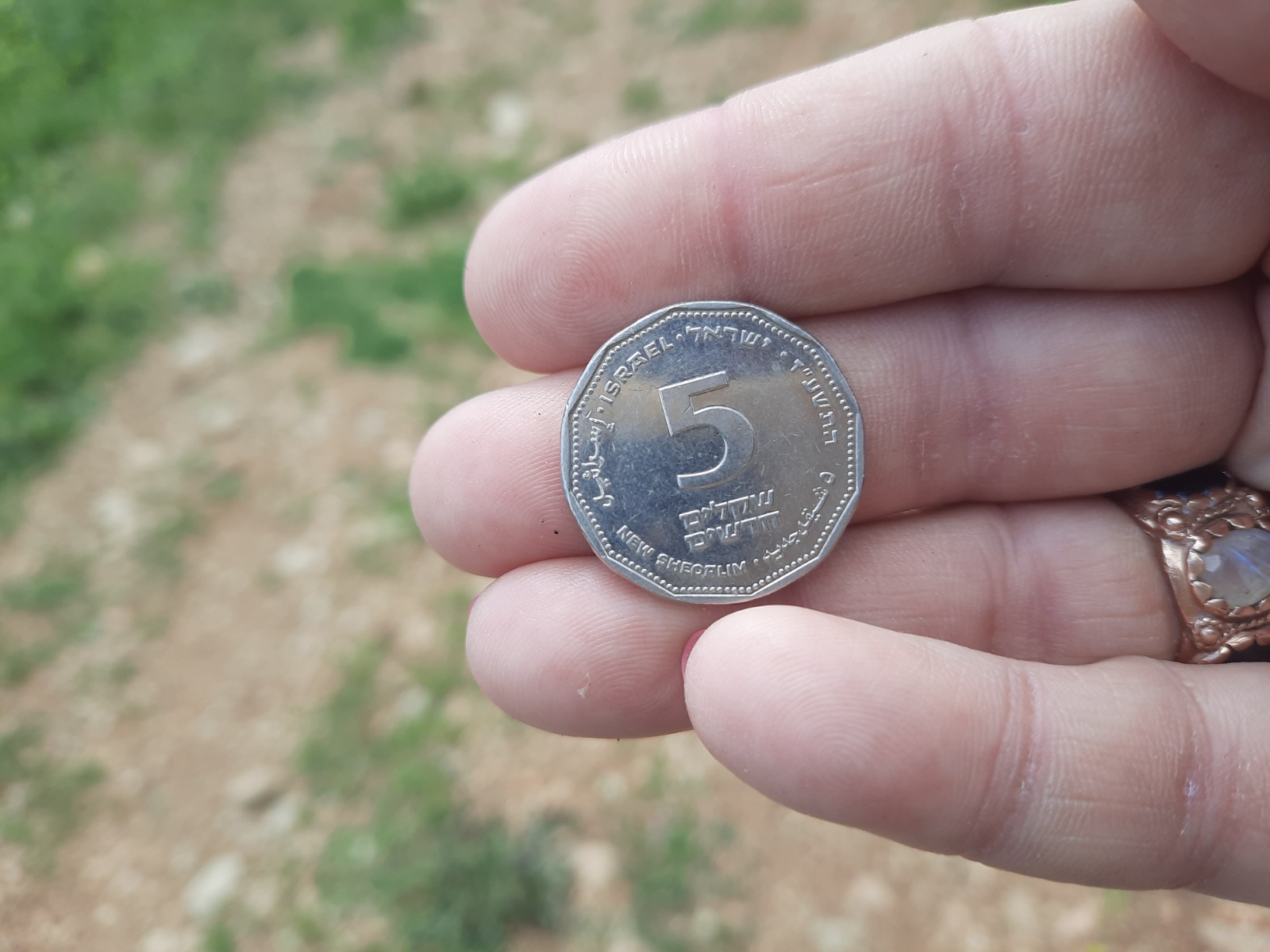
Oh look what I found! This is the 2nd time I’ve found money on the trail. It will pay for half of my coffee at Aroma when we’re finished LOL.
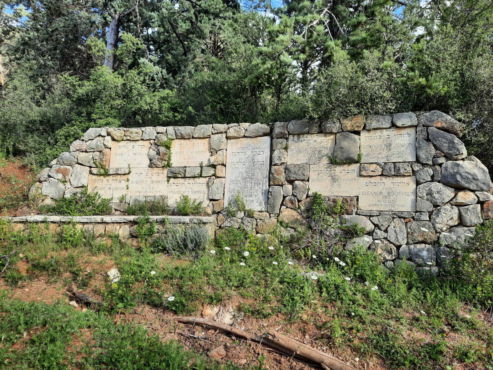
All along the INT there are many commemorative plaques and memorials. This one is a memorial to a number of US presidents.
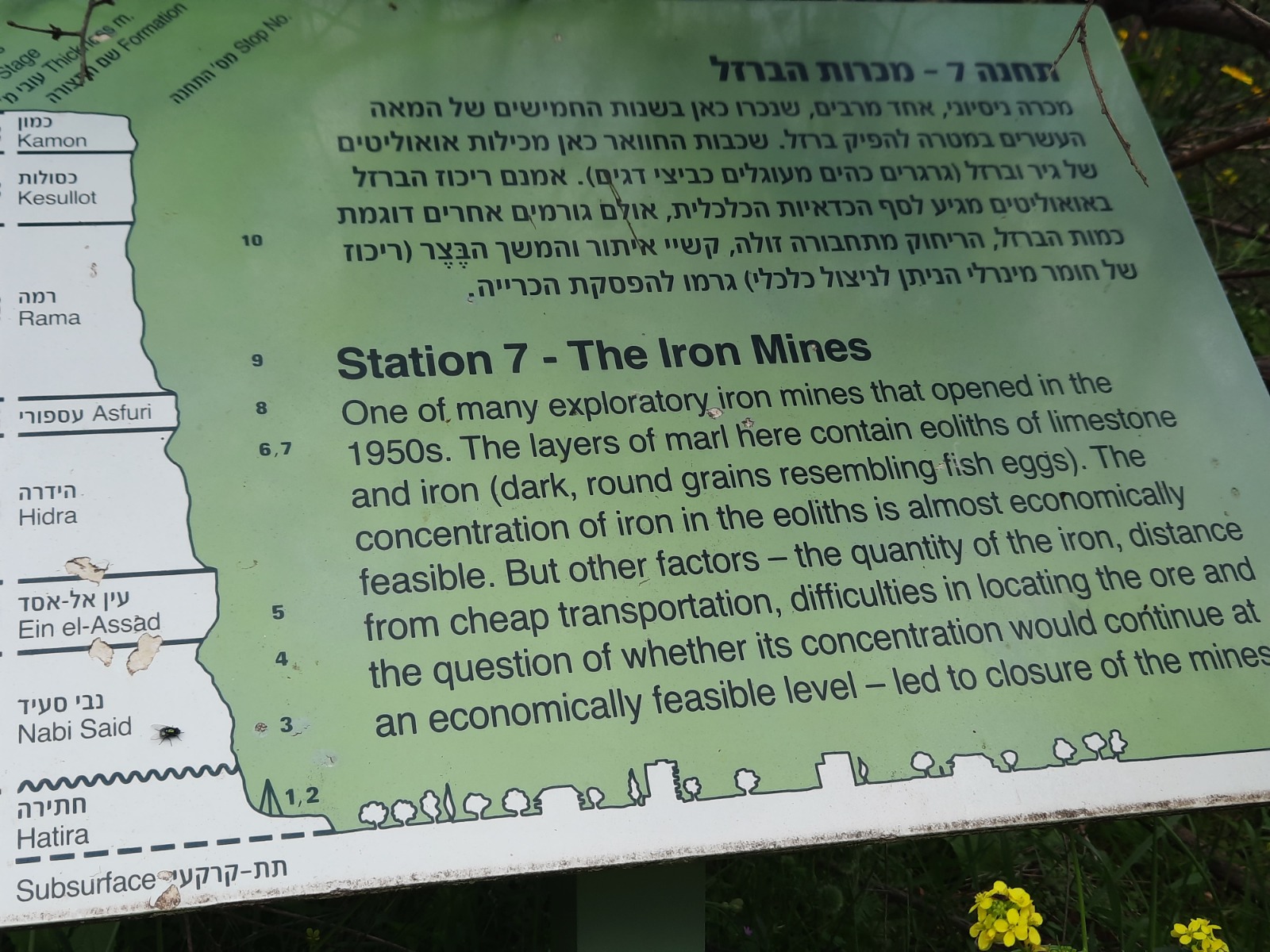
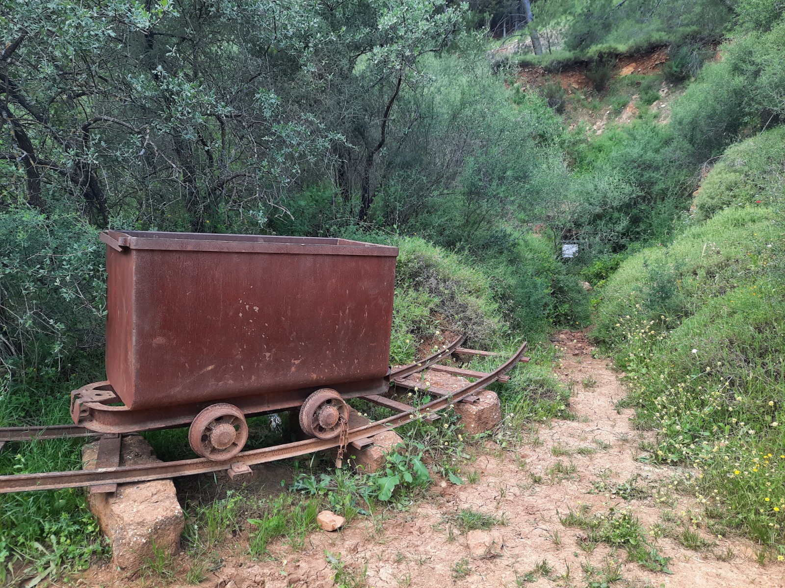
In the early 50’s there was an attempt to mine iron in the area. It failed. We passed a defunct mine and the minecarts have been left just outside to rust.
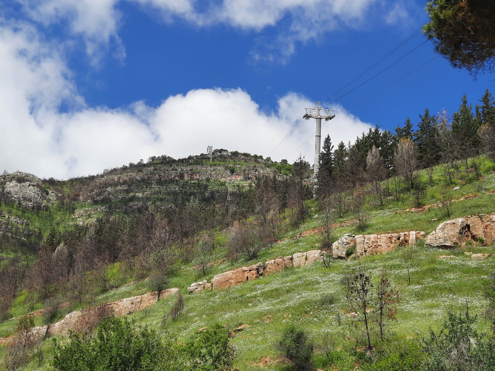
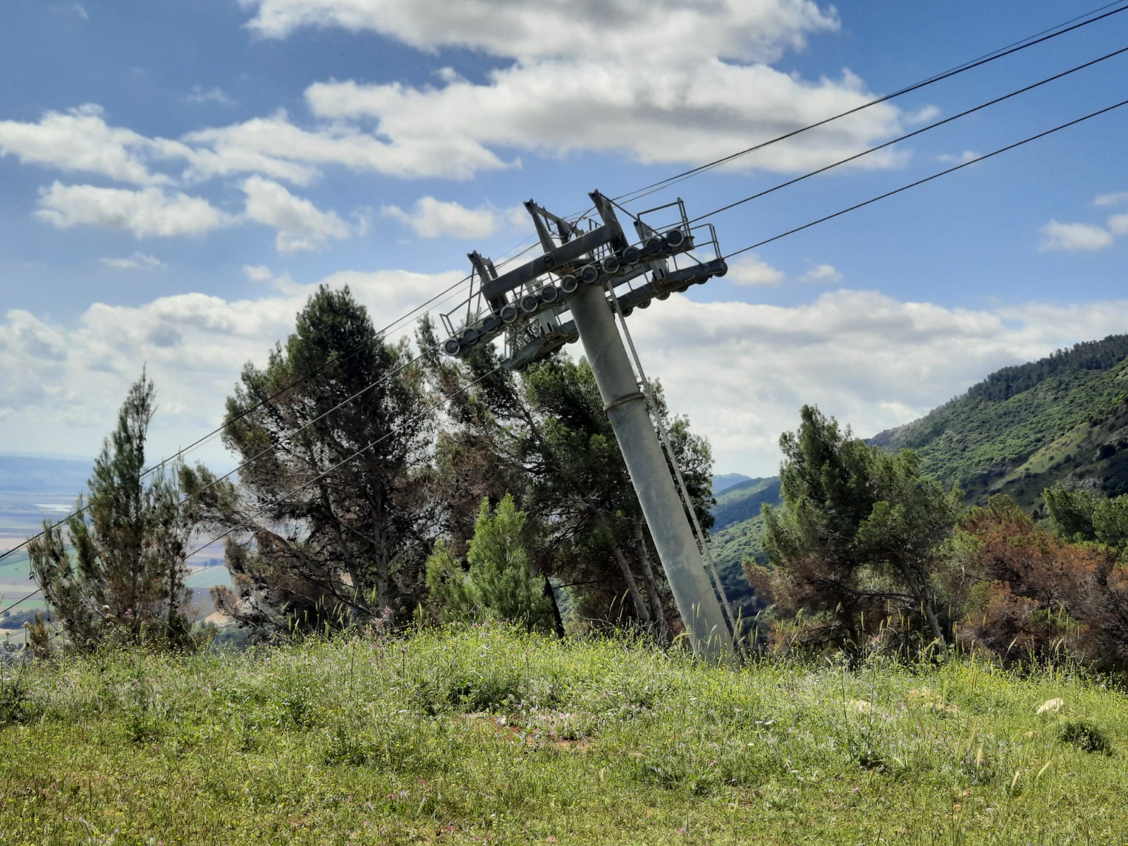
At 7.2 km, you will walk right under the Manara Cliff cable car line and hear the whirring of the nearby engine room.
At 6.58 km, you reach the Ramim Cliff Observation Point. There is plenty of shade here, rocks to sit on and a stunning view over Kiryat Shemonah right below as well as out over the valley to Mt. Hermon in the hazy distance. I highly recommend making this location your long stop for a rest and food.
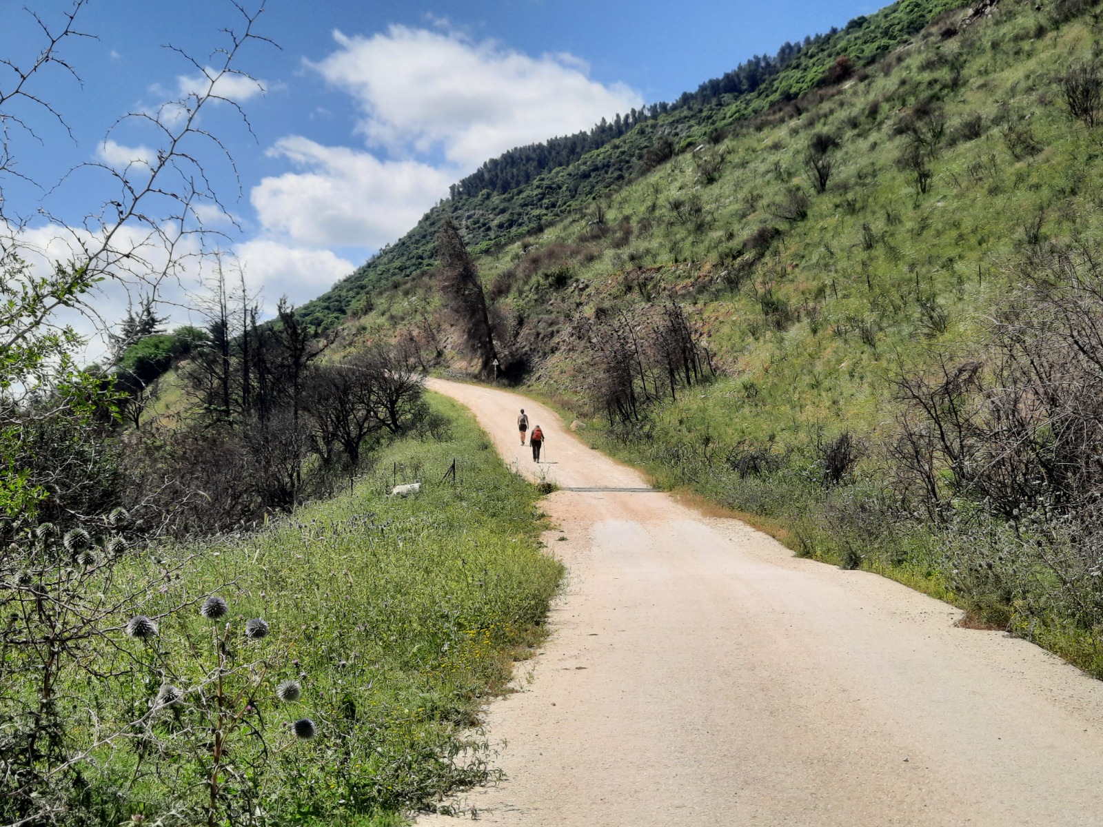
From the 8.6 km point, the trail is much more exposed to the sun although you can still find a tree now and then at the side where you can rest in the shade.
Now I call that confusing!
All good hikes end at Aroma, time permitting.
