3D recording Day 3: https://www.relive.cc/view/vNOPQADKX26
3D recording Day 4: https://www.relive.cc/view/v7O9JQjYNL6
Route type: Point to point
Difficulty level: Strenuous
Waze to start point/camping site: Horvat Hamama/חניון לילה חורבת חממה
Notes:
- Do not hike here if there are any flood warnings in the area! If you are not sure, ask a more experienced hiker.
- Entry to the pools of Nahal Amud is allowed (but not obligatory) so take water shoes if you want to get wet (recommended!)
- NOT good for dogs!
- Not suitable for those with a fear of heights.
- At the Sechvi Pools (~14.8 km point), there are rangers who do not let hikers pass the pools after ~12:00 or ~13:00 (unclear). If your end point for the day is the night camp next to Road 85 and you want to have time to get wet in the pools, I suggest that you press on and do not spend much, if any, time resting before you reach the pools.
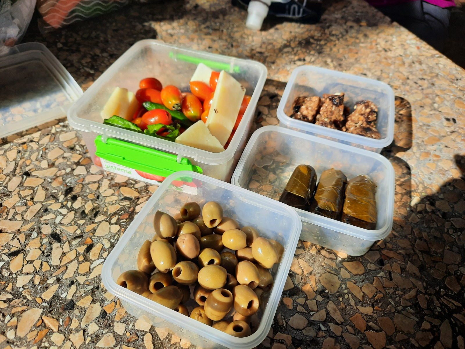
- Drinking water taps are located at kilometers 0, 4.3, 10.8, 22.8 (slightly off trail).
- Some people shorten this day by climbing out of Nahal Amud to Ein Koves (a 660 meter steep climb!). This exit point occurs just after the 17 km point and is signposted.
- We only had one car this time which we left at the start point. We took a taxi back at the end of the 2nd day. Taxi driver (Itzik) 052-3500067.
DAY 3
Back in November, my friend and I did the first two days of the Yam l’Yam (Sea to Sea) trail. This is a very popular, 70 km trail that begins at the Mediterranean Sea and ends at the Sea of Galilee. You can read my description of the first two days here.
We finally found time last week to complete the final 2 days. These last 2 days are also part of the INT so I had hiked this before but do you think I remember much about it? NOPE.
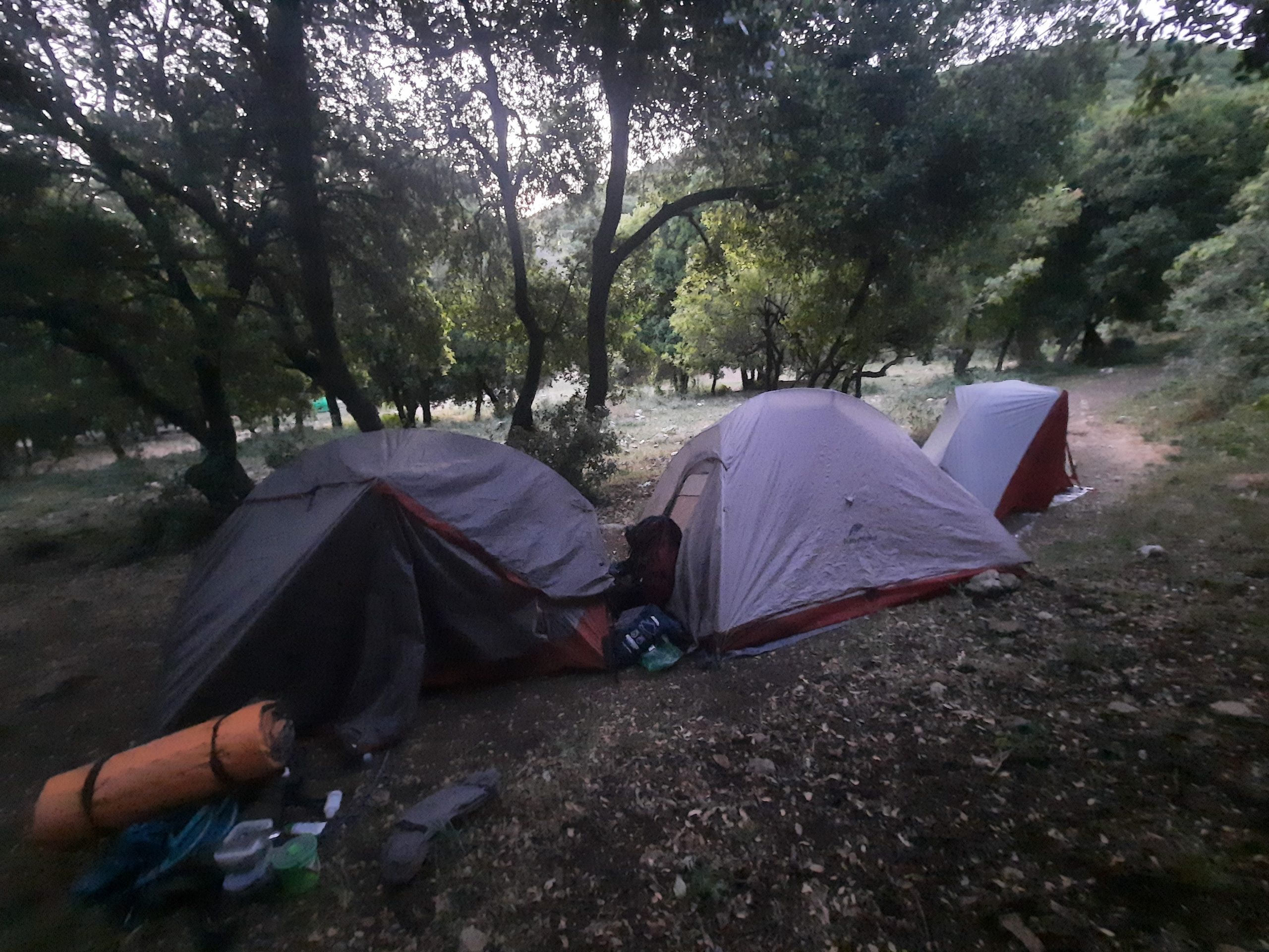
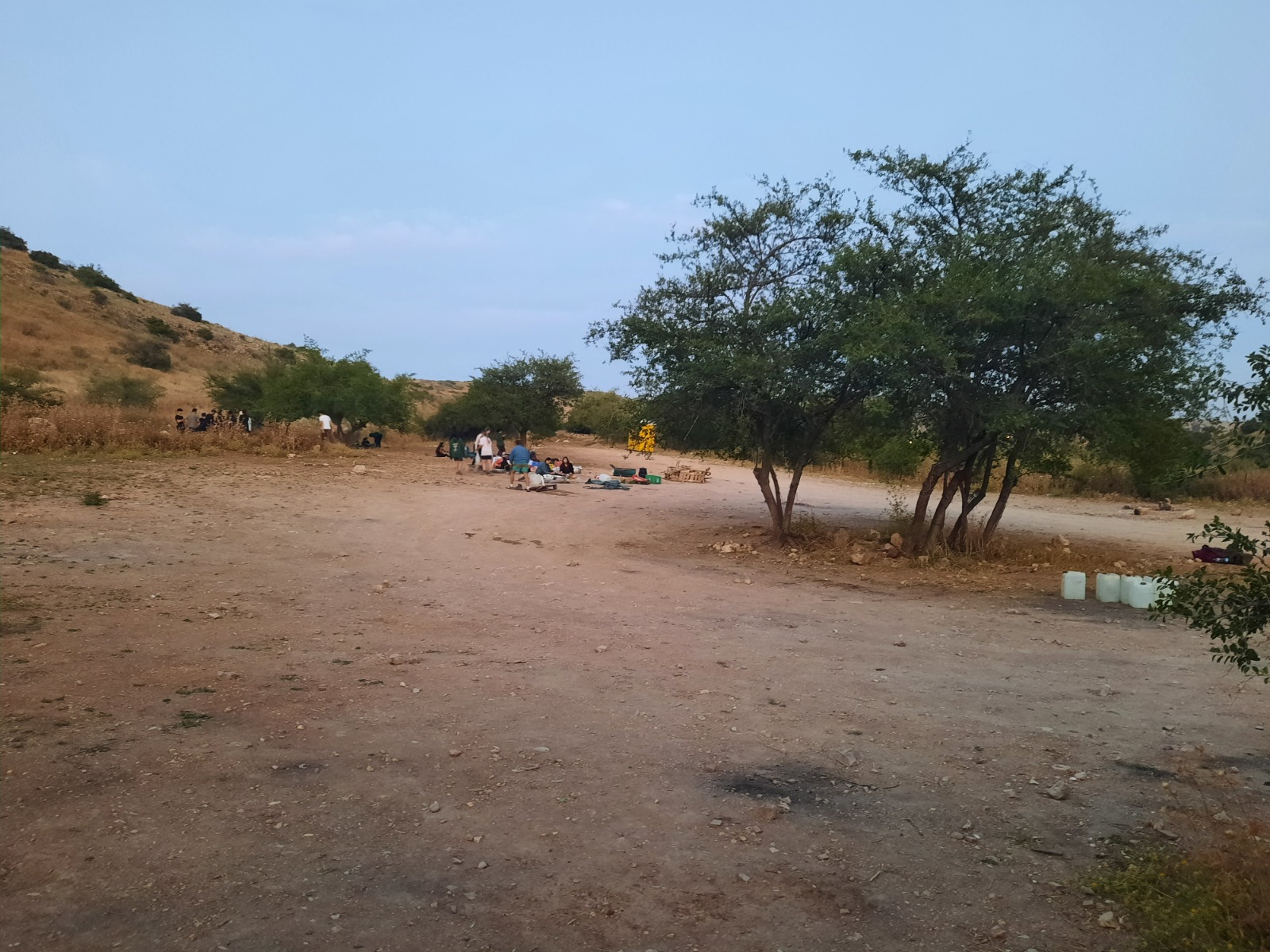
Wednesday night after work we drove north to camp at Horvat Hamama and hit the trail early Thursday morning. I have camped at Horvat Hamama numerous times. It is a very popular place. There are drinking water taps here and garbage dumpsters at the entrance to the parking lot. (Please use them!)
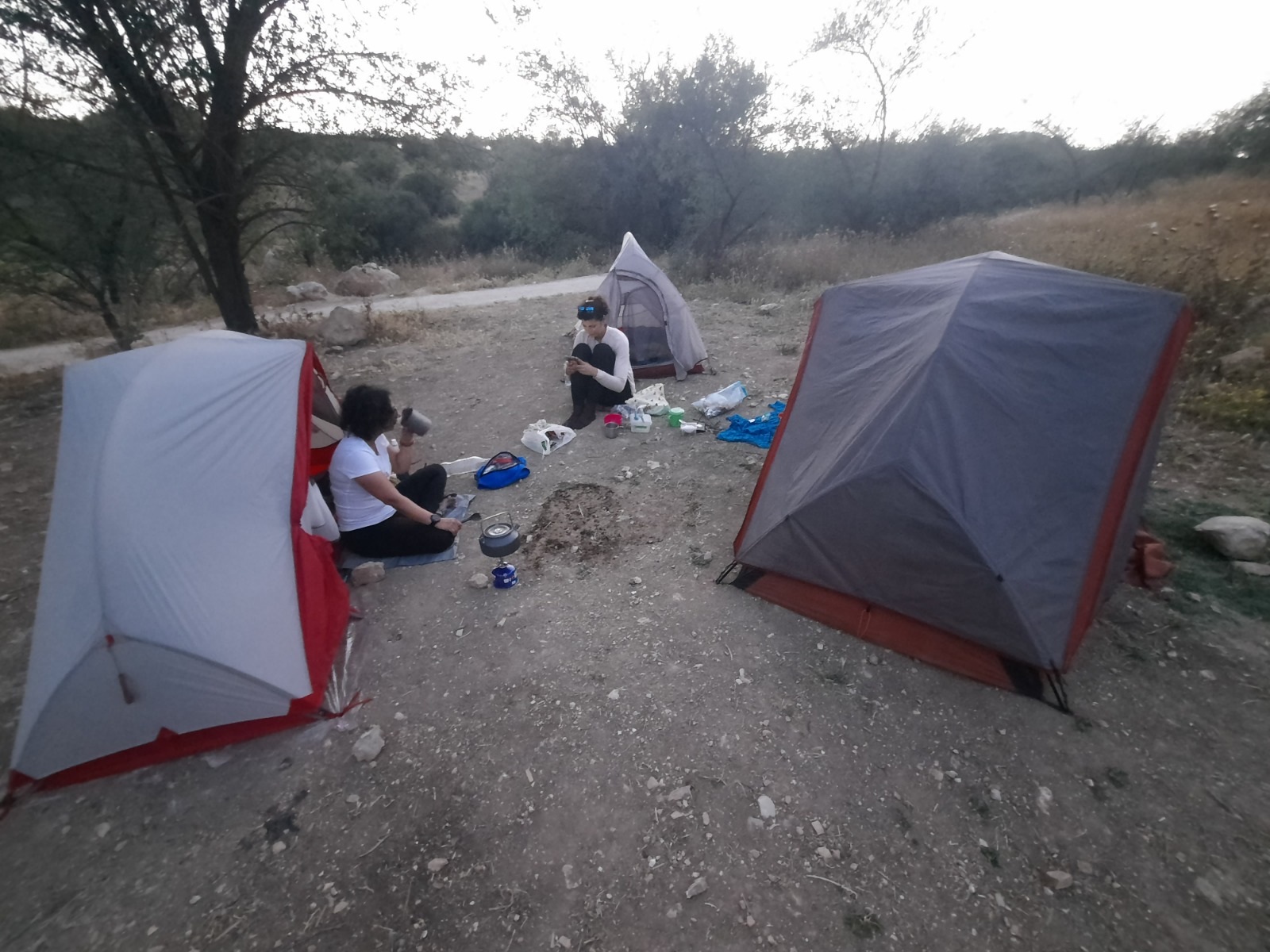
This time most of the picnic tables and best places to pitch tents were taken up by a large group of noisy young people. We did our best to distance ourselves from the noise by plonking our three little tents a few yards down right ON the trail.
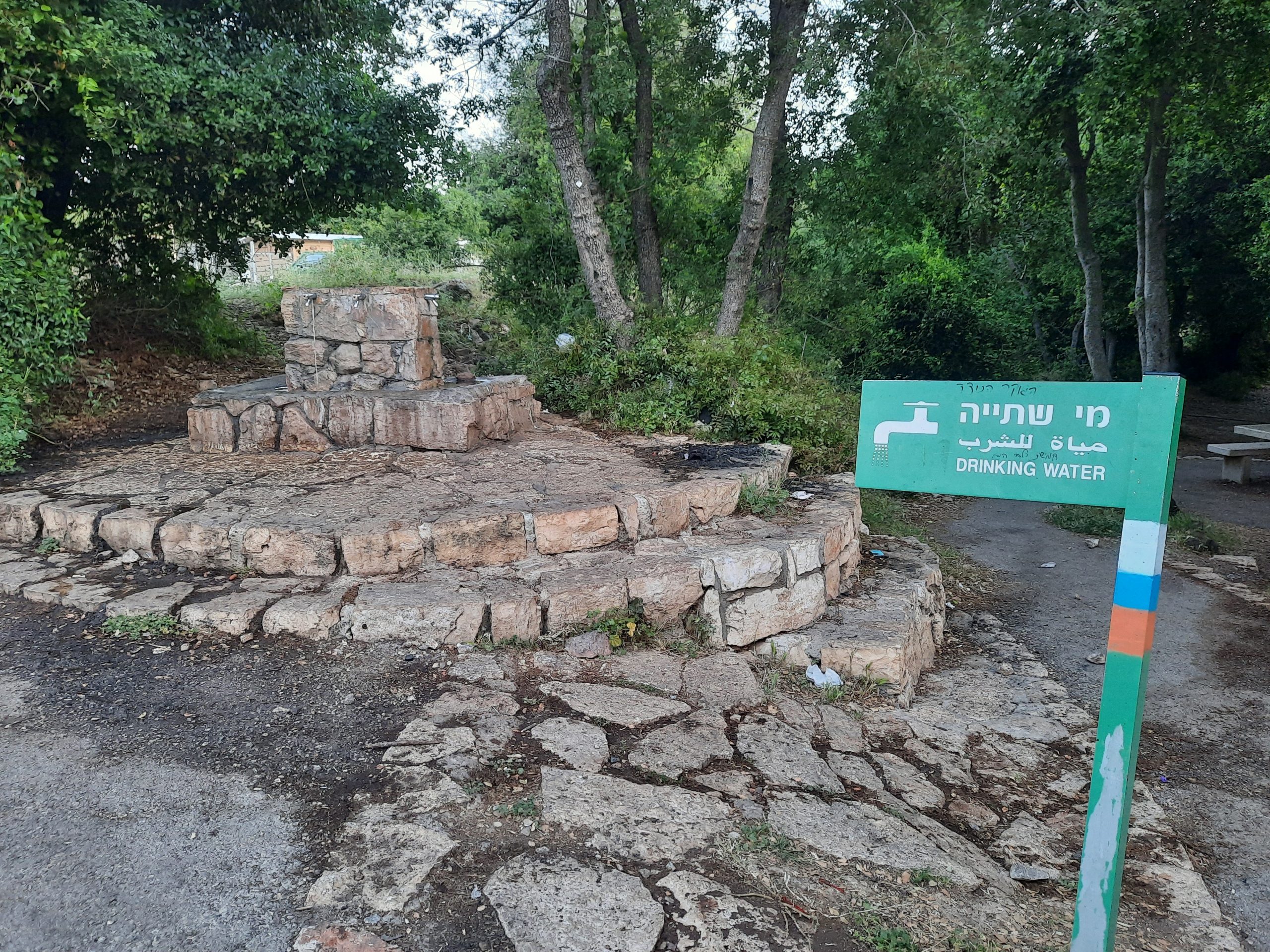
Something that jumped out at us right off the bat when we arrived at Horvat Hamama was how appallingly filthy the area was. This held true for the entire trail. I won’t take up post space to discuss it but you can see and read about it in the IG post that I devoted exclusively to this topic. I feel like we should print up the below sign then go back and strew them along the length of the trail (yes, I know this is also littering).

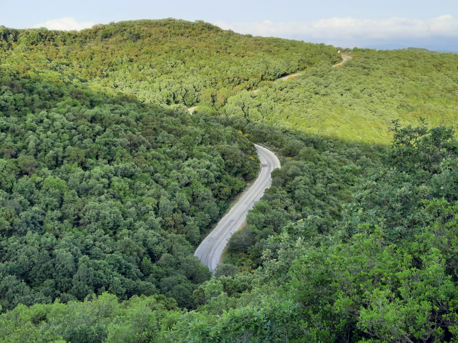
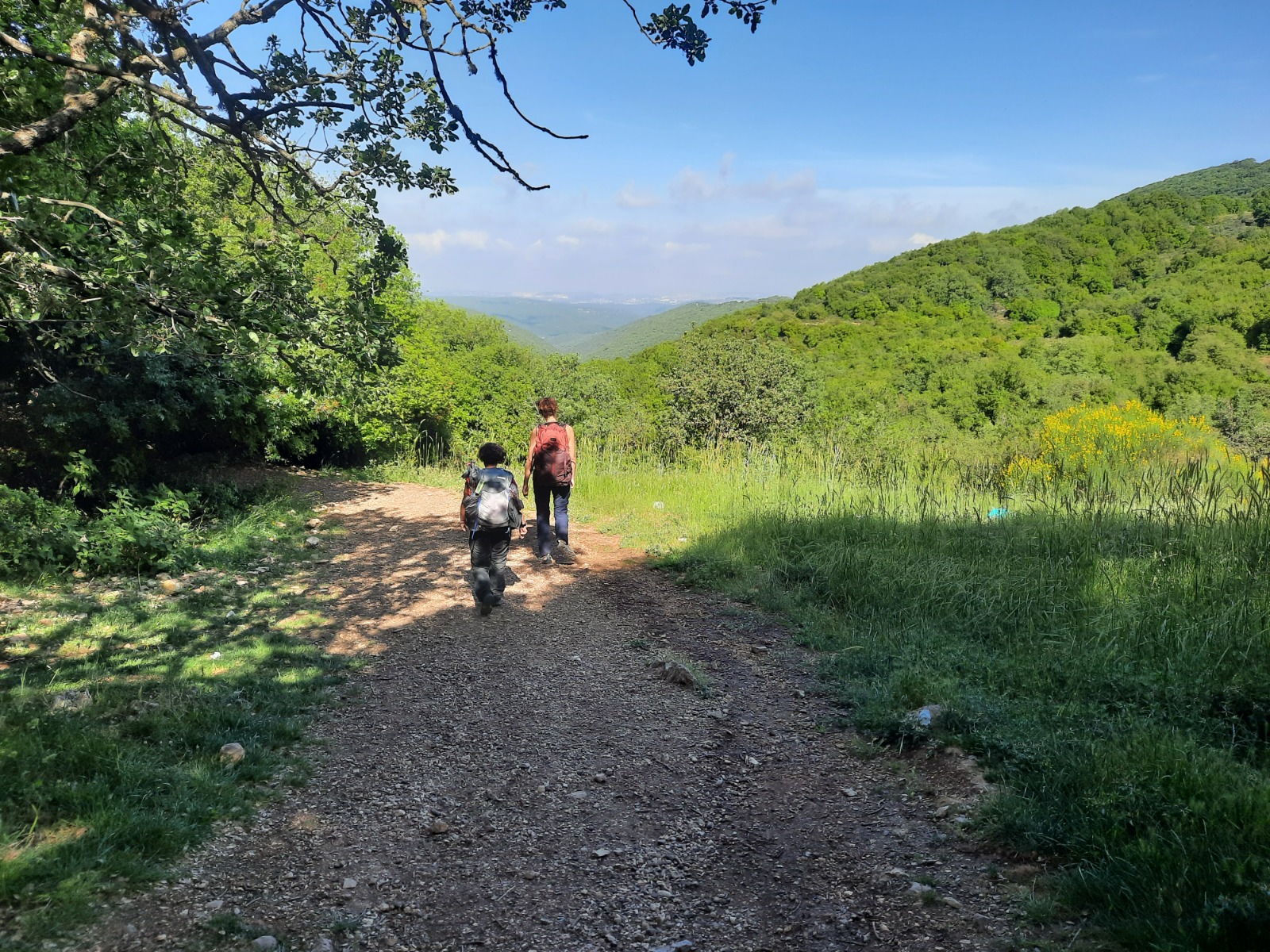
The first ~3 km of the trail is a steady, not technically difficult ascent and is completely shaded. At times there were openings in the trees on one side of the trail or the other where we could get a glimpse out over the tree tops.
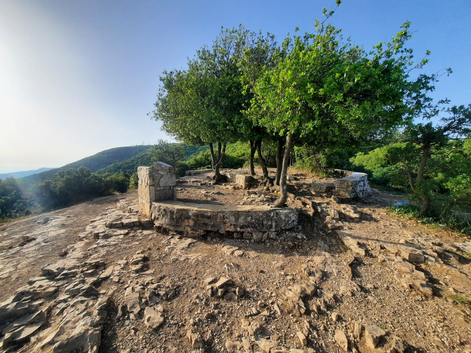
The first good place for a break with amazing views is on Mt. Neriyah at kilometer 2.
Carrying on towards Mt. Meron, most of the path was through a tunnel of trees with greeny-goldy light filtering through.
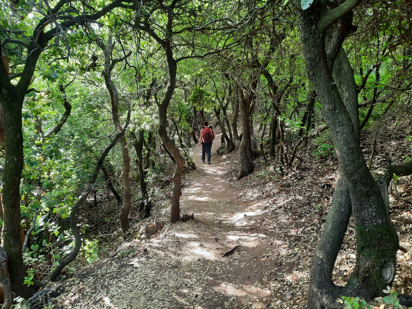
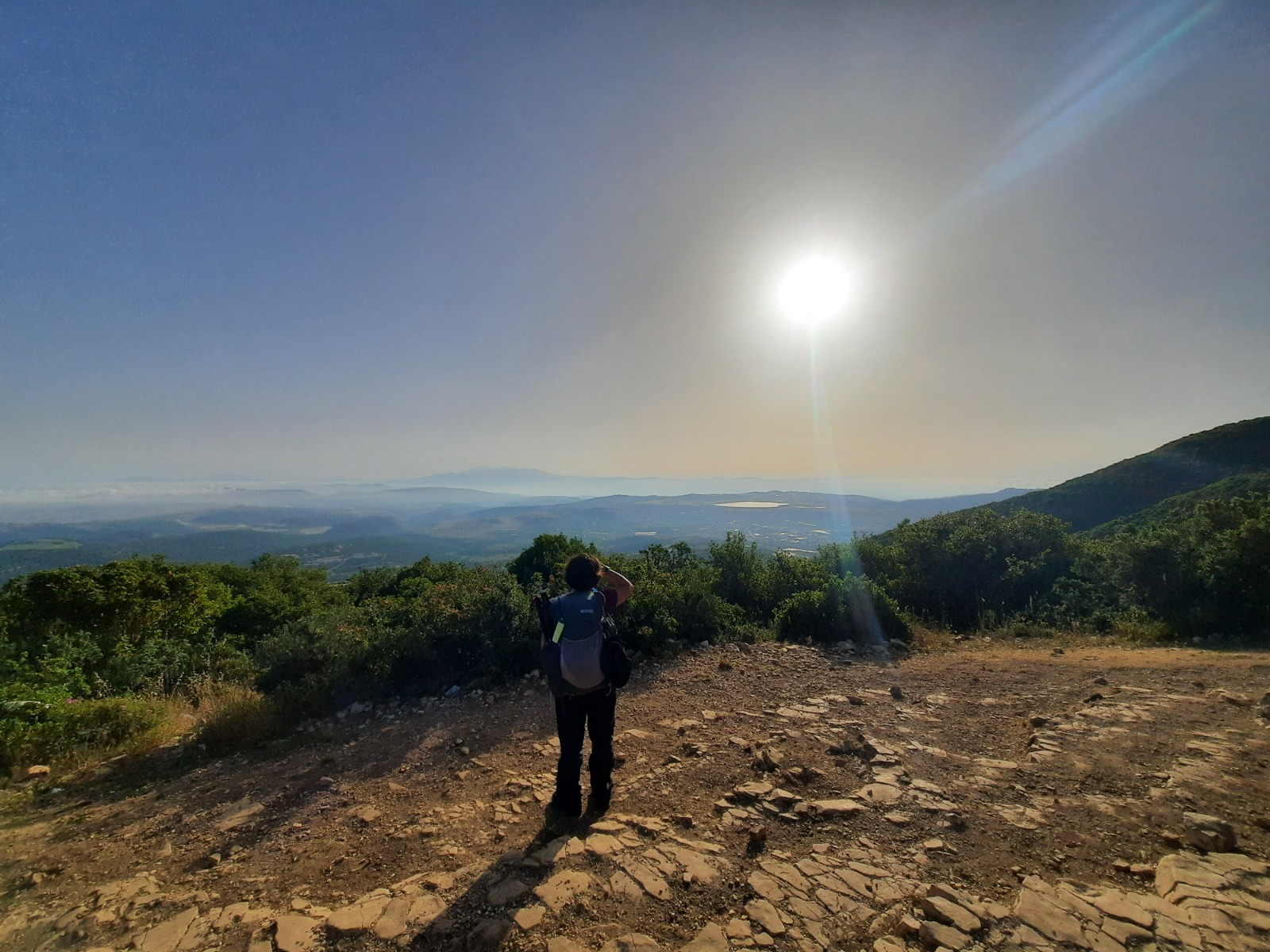
The path goes around Mt. Meron and the terrain maintains a gradual ascent through more tree tunnels for another 1.3 kilometers until you reach Lebanon Lookout and its stunning views. We hadn’t realized how high we were until we came out into this clearing to discover we were higher than the clouds!
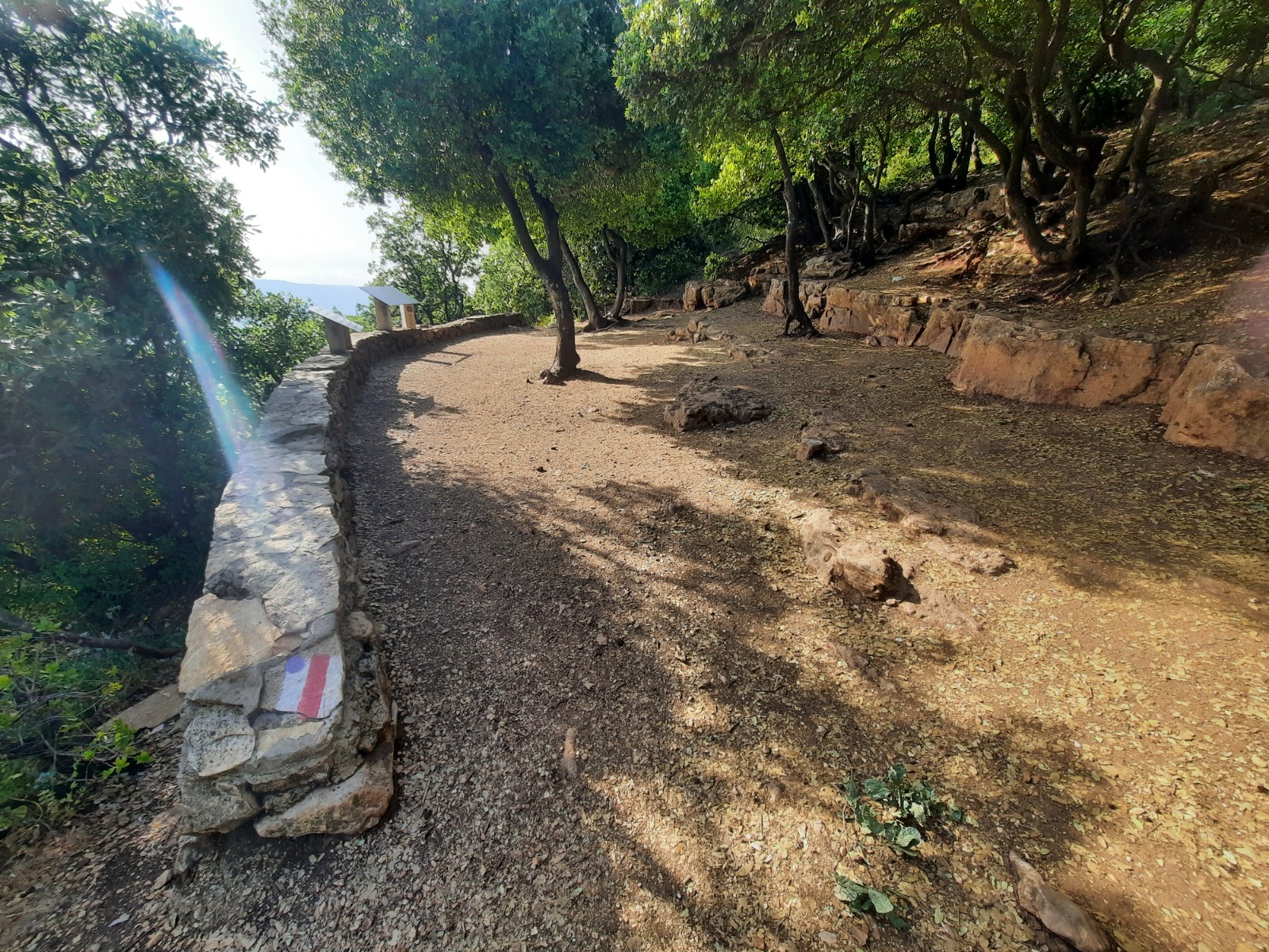
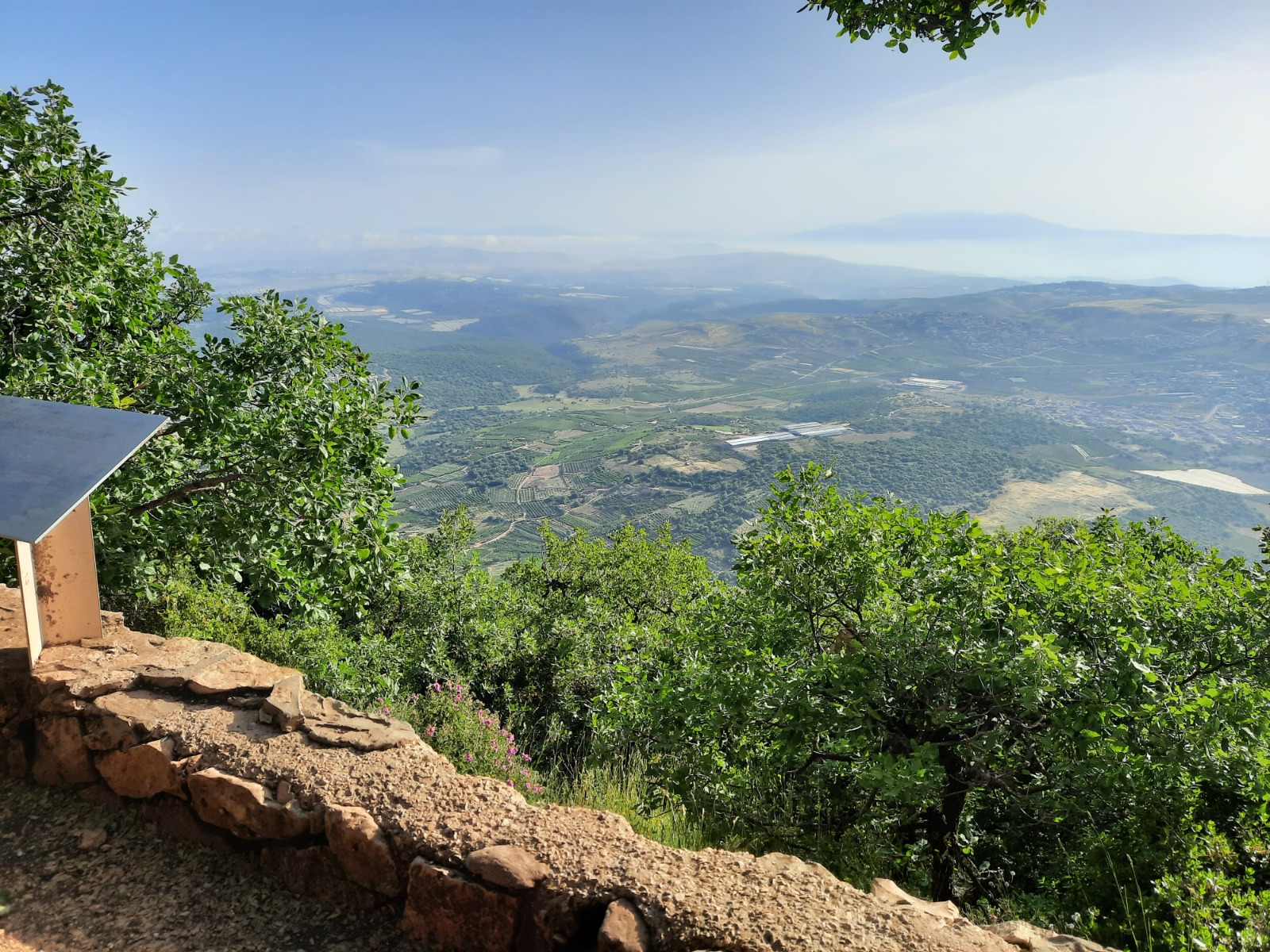
Once you leave Lebanon Lookout, the l o n g descent begins which is at first very gradual.
The next place with facilities is at the Pisgah Trail parking lot at kilometer 4.3. Here you will find picnic tables, shade, toilets, garbage cans (use them!) and most importantly – drinking water taps. Camping here is not allowed.
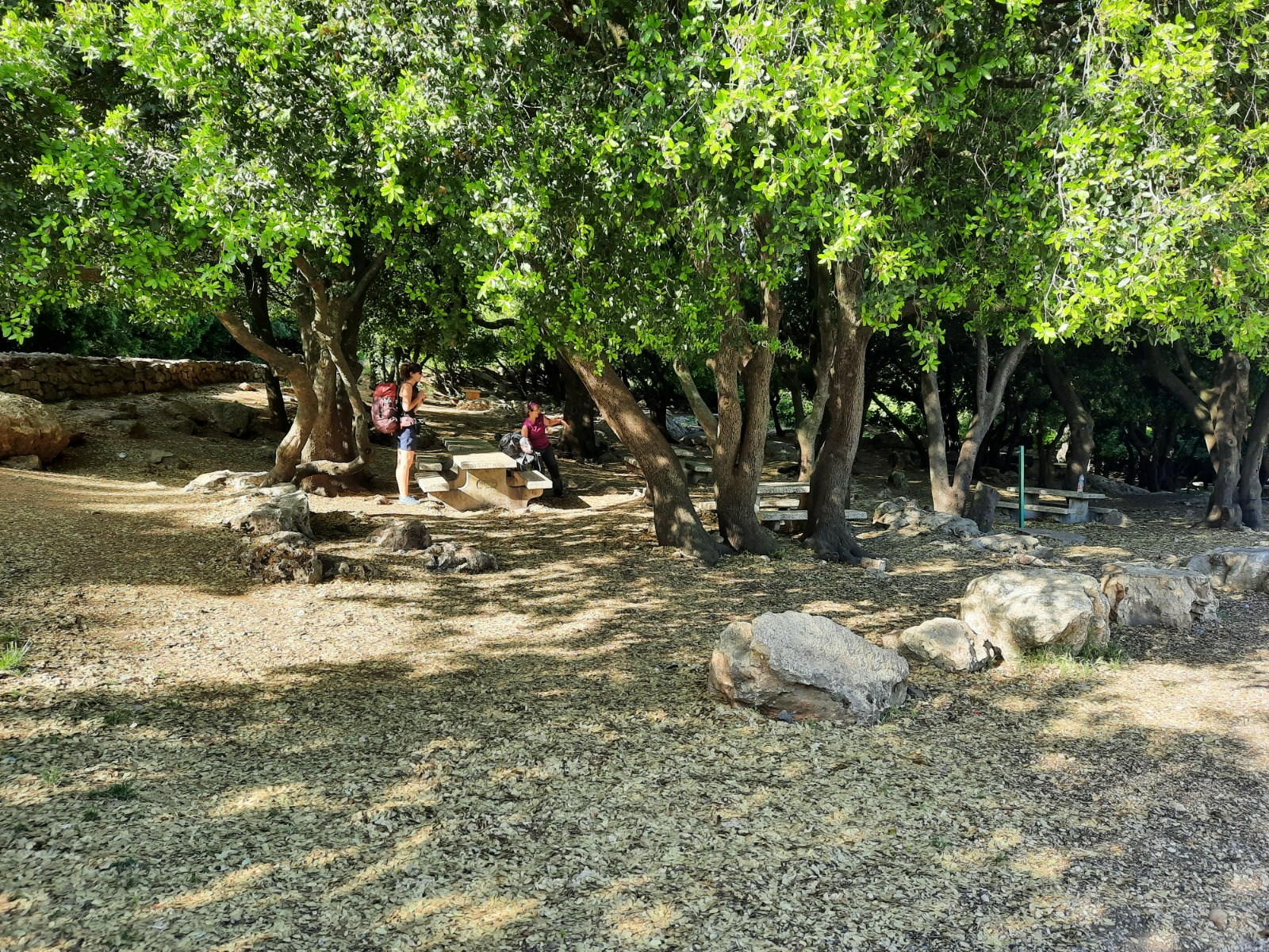
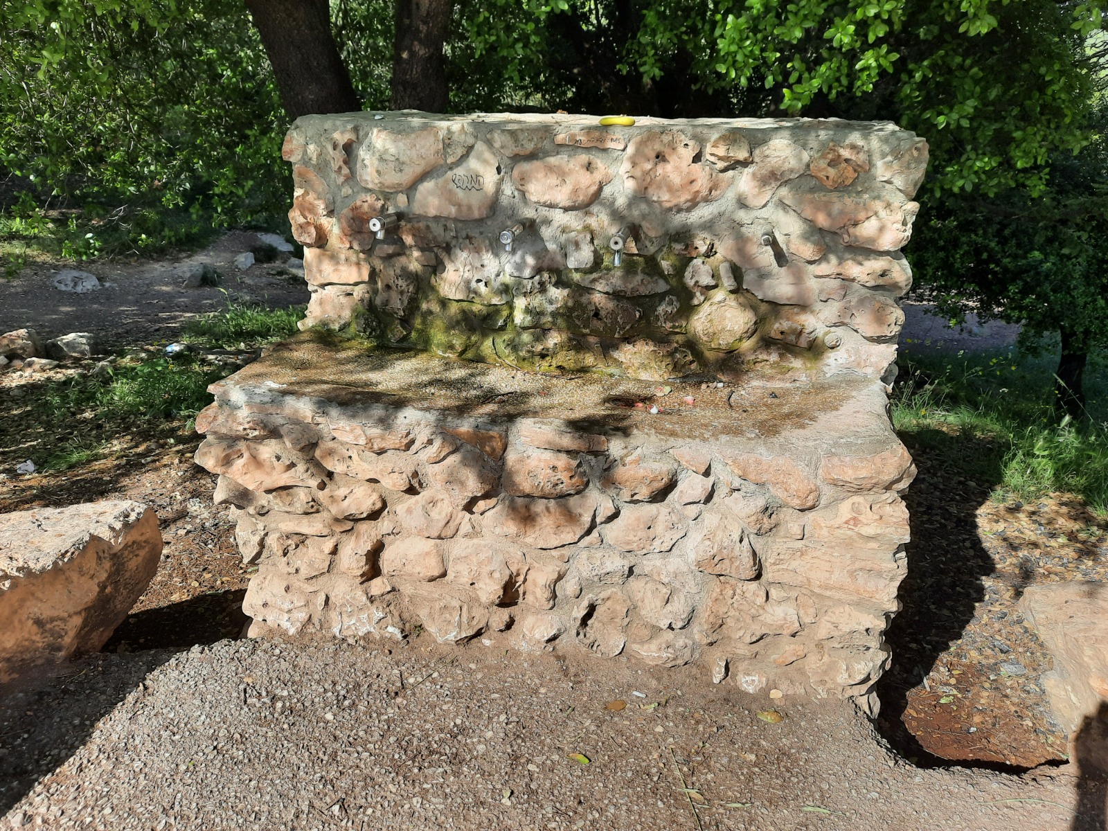
We stopped here and broke out breakfast.
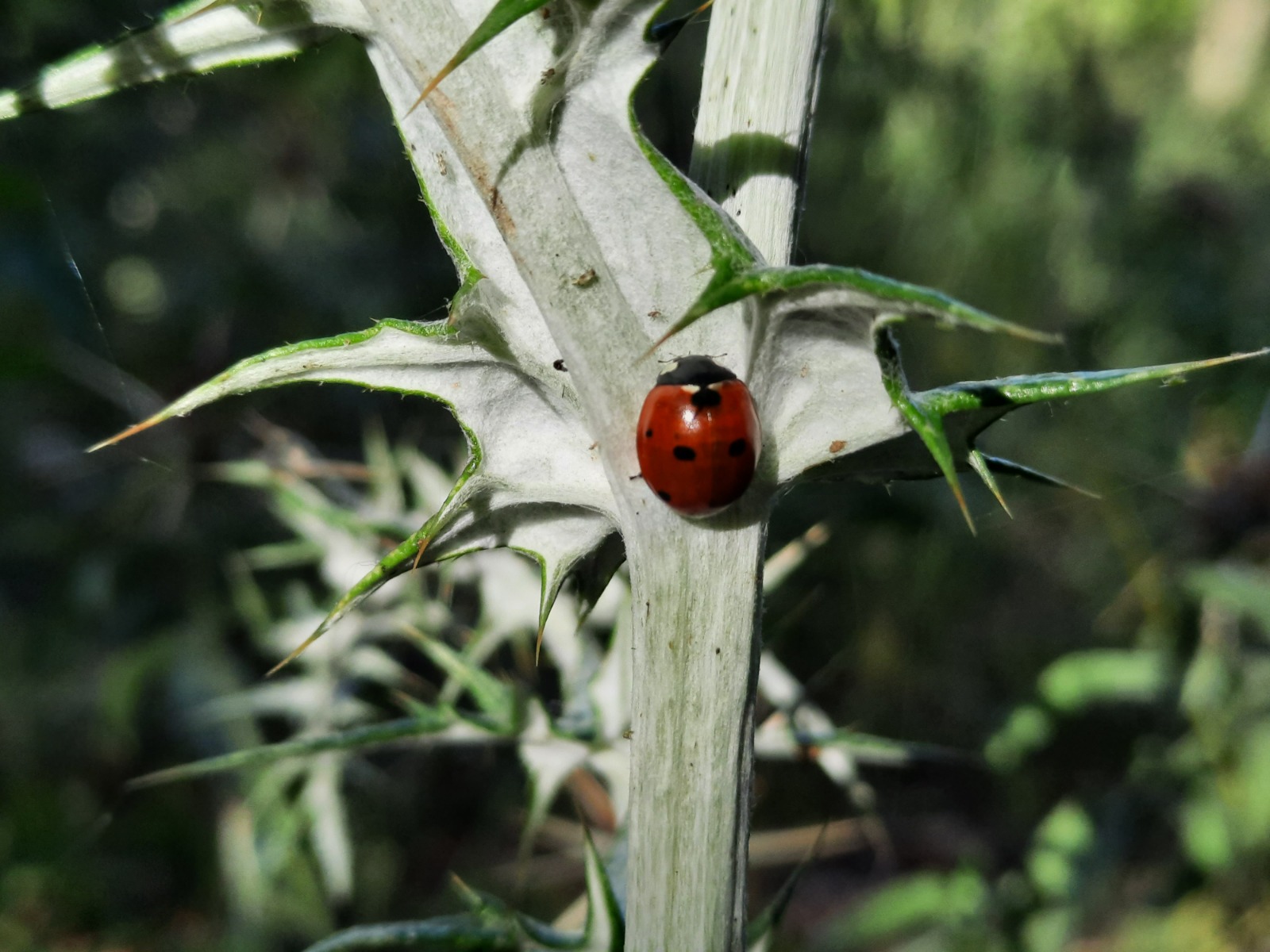
Refreshed, we set out again. A short way along, my selective xray vision spotted this ladybug on a weed. Ladybugs make me happy!
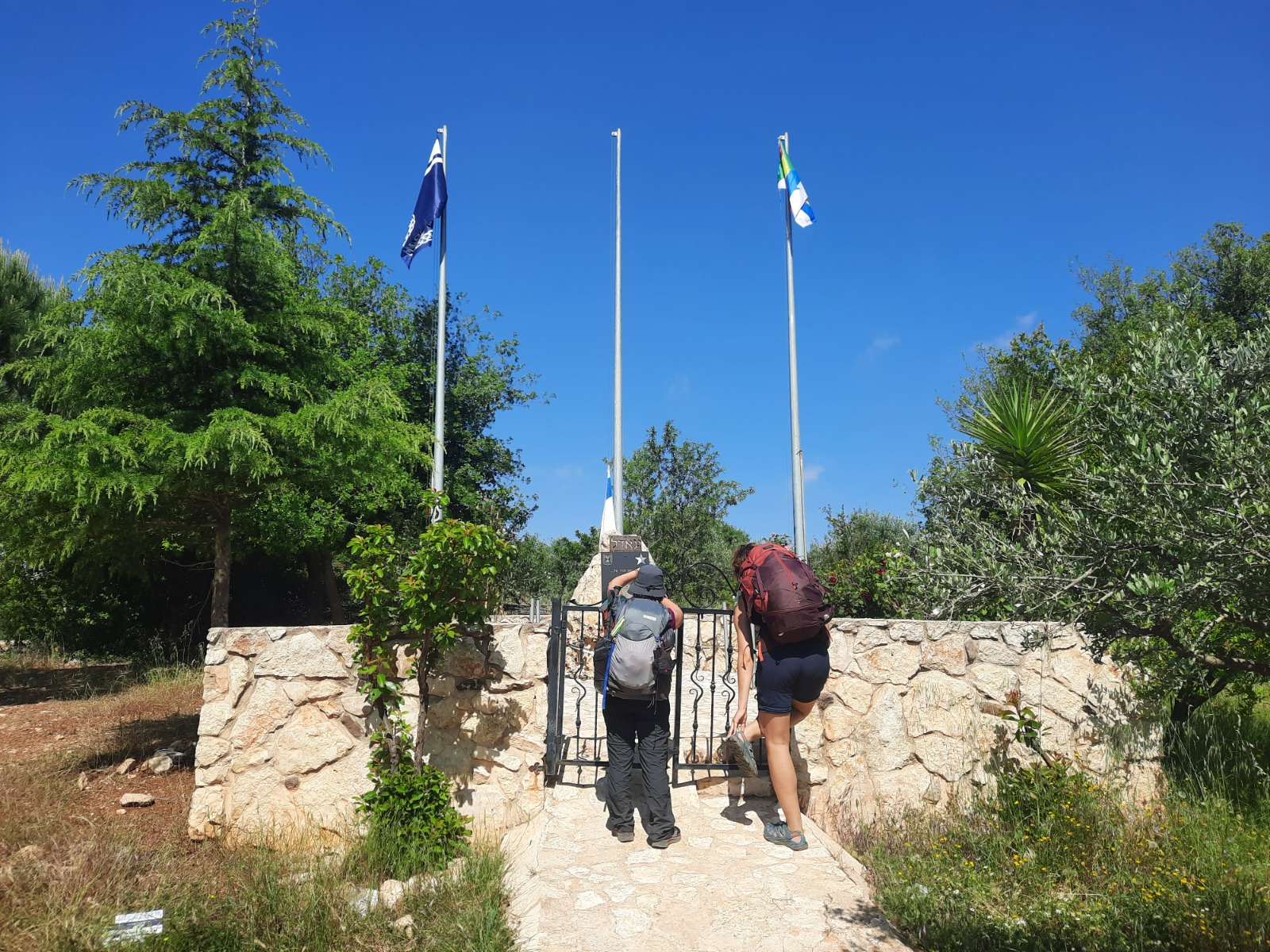
At kilometer 6.9, we saw these three flag poles surrounded by a low stone wall with a gate and beside this, a few picnic benches under some young fruit trees. This was clearly a memorial of some kind.
We approached for a closer look and discovered that this place is called Hurshat Ha-44 (Grove of the 44), referring to the 44 forty-four men and women who perished in the 2010 Carmel Forest fire. Thirty-seven of them were cadets of the Prison Service Officers Course and the commanders of the course, who were sent to evacuate prisoners from “Damon” prison. The bus they were travelling in became trapped by the fire and burnt. The driver of the bus that was transporting them, three firefighters and three police officers also died.
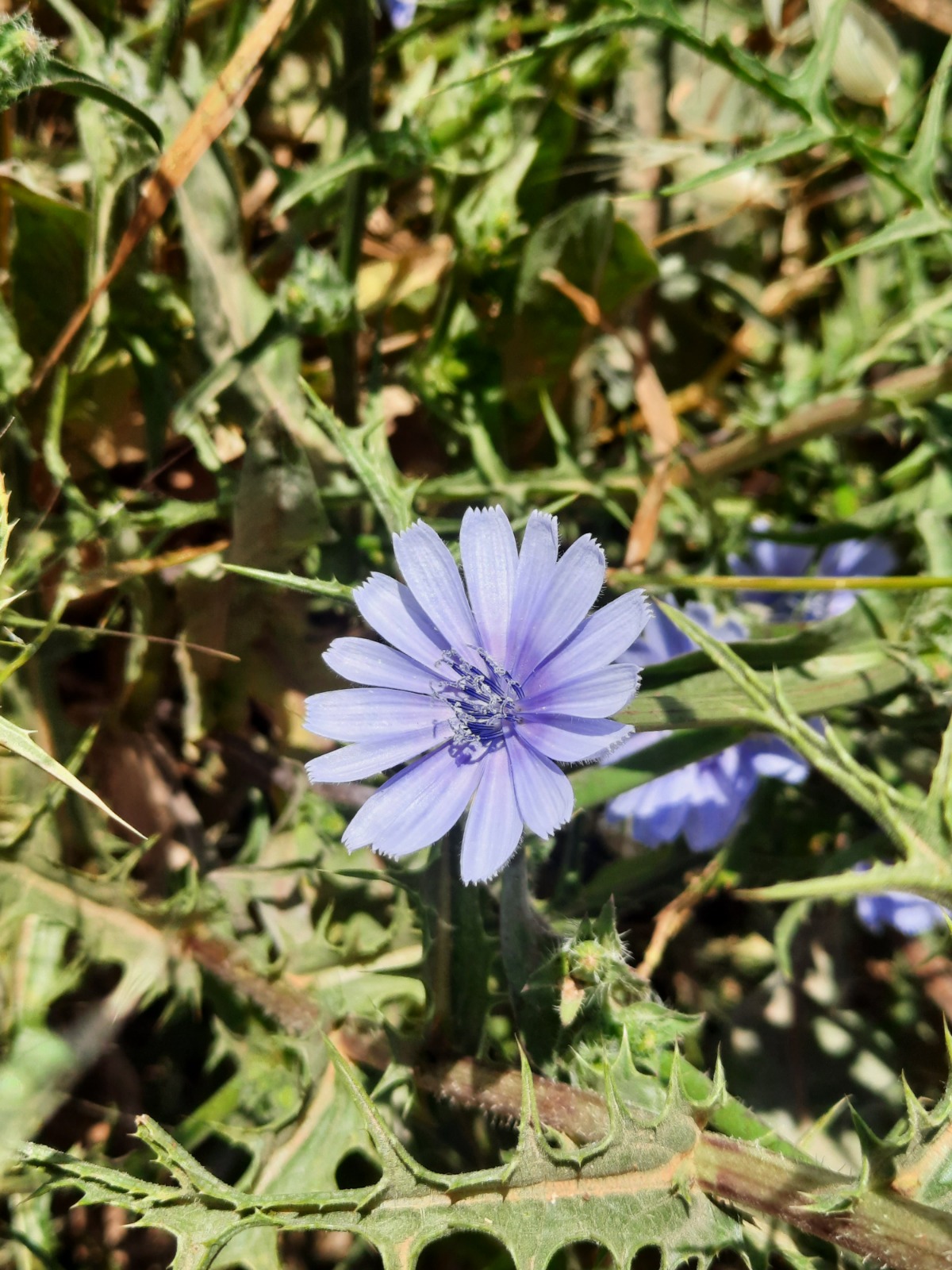
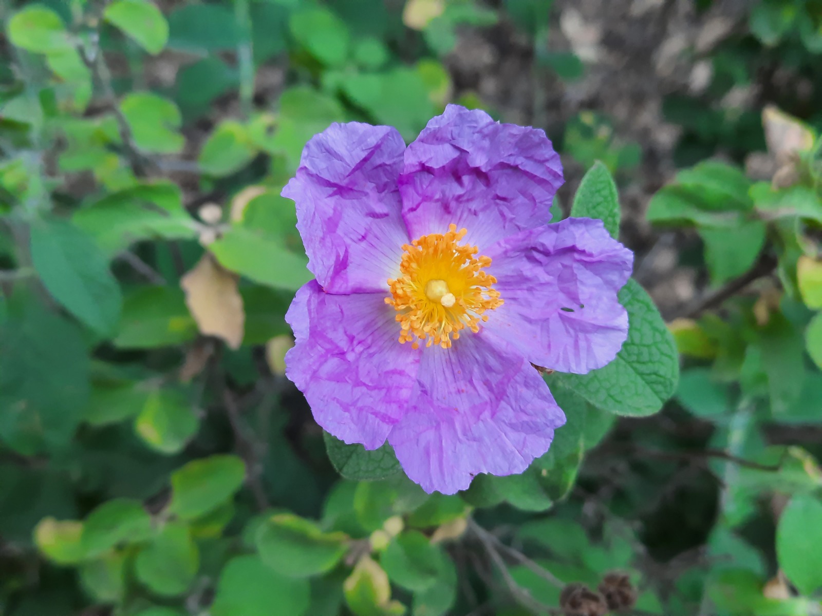
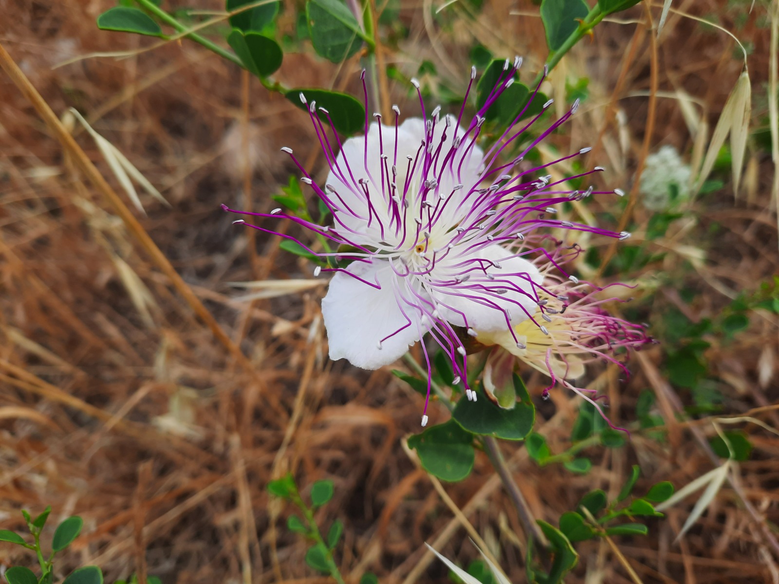
The spring flowers are on their way out but there was still some floral spectacularness going on. These flowers in order of appearance are: chickory, rock rose and caper.
This landmark on Mt. Meron, at kilometer 9.2, is known as Elijah’s throne (כיסא אליהו). According to the tradition of the Jews of the Galilee, it is on this “throne” that Elijah the prophet will sit and proclaim the redemption.
In the background you can see the complex surrounding the grave of Rabbi Shimon bar Yochai where Lag B’Omer festivities are held every year.
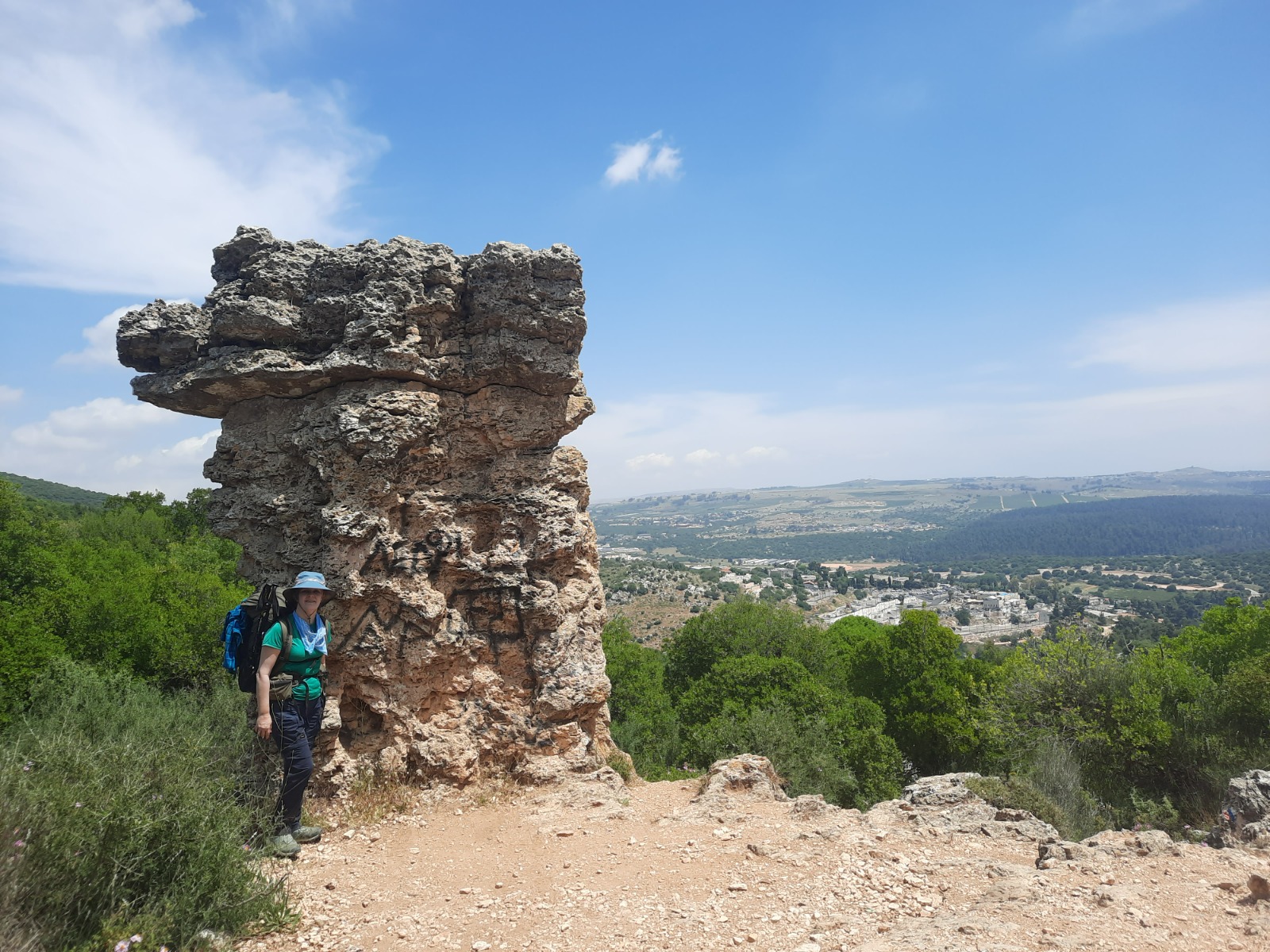
900 meters further along the trail at Hurvat Shema, you will see the below landmark. We were in such a rush to reach the Sechvi Pools by ~13:00, that we went “ooo, ahhh” and whizzed past this. Big mistake! Only today, I looked at this picture and what is written on the side came into focus: “The grave of Shammai the Elder and his wife.” THE Shammai??? As in Hillel and Shammai???
I did some Googling and discovered that this structure (I call it Israel’s answer to Stonehenge) is near the ruins of an ancient Jewish settlement and synagogue. (Wow! Totally missed THAT!)
According to tradition, Shammai’s daughter-in-law gave birth there, died in childbirth and was buried there together with Shammai.
Right behind the building is a large burial cave (missed that too!) and it is possible that this structure was built to mark the place of the cave.
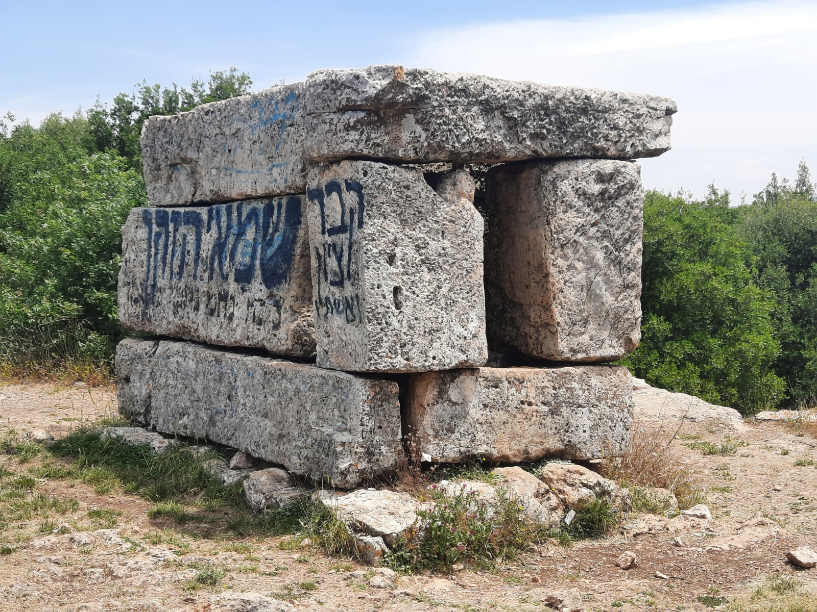
At kilometer 10.8, just before the trail reaches Road 866, there is a campsite (Pitul Meron Campsite) and most importantly, drinking water taps. We were grateful for the opportunity to get our heads and hats wet.
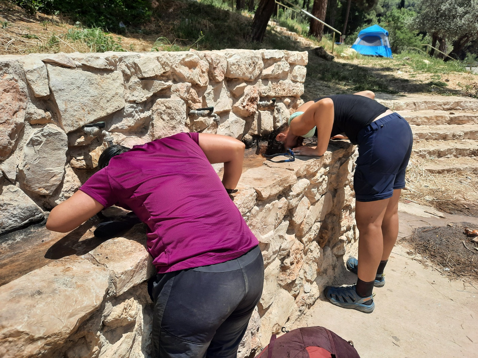
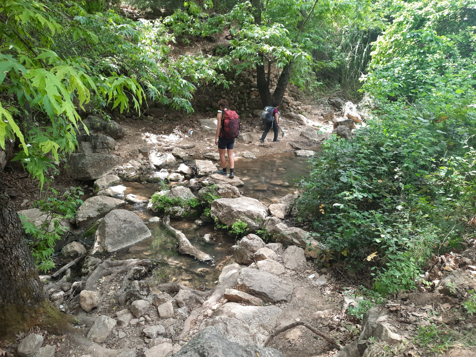
We raced on towards the Sechvi Pools. Shortly before the pools, Nahal Meron merges with Nahal Amud. The scenery in this portion of Nahal Amud is incredibly shady and green, not technically difficult and with many places along the way to drop your backpacks and get wet. Still, it is long and tiring.
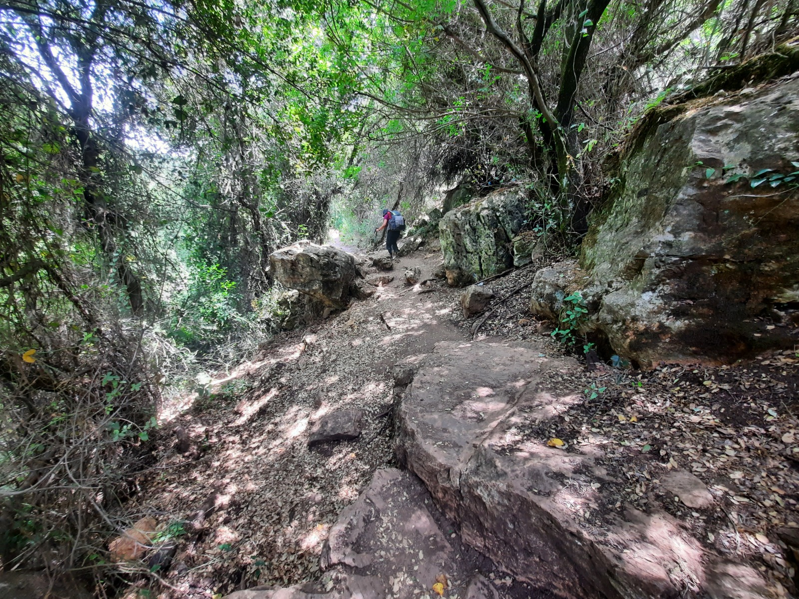
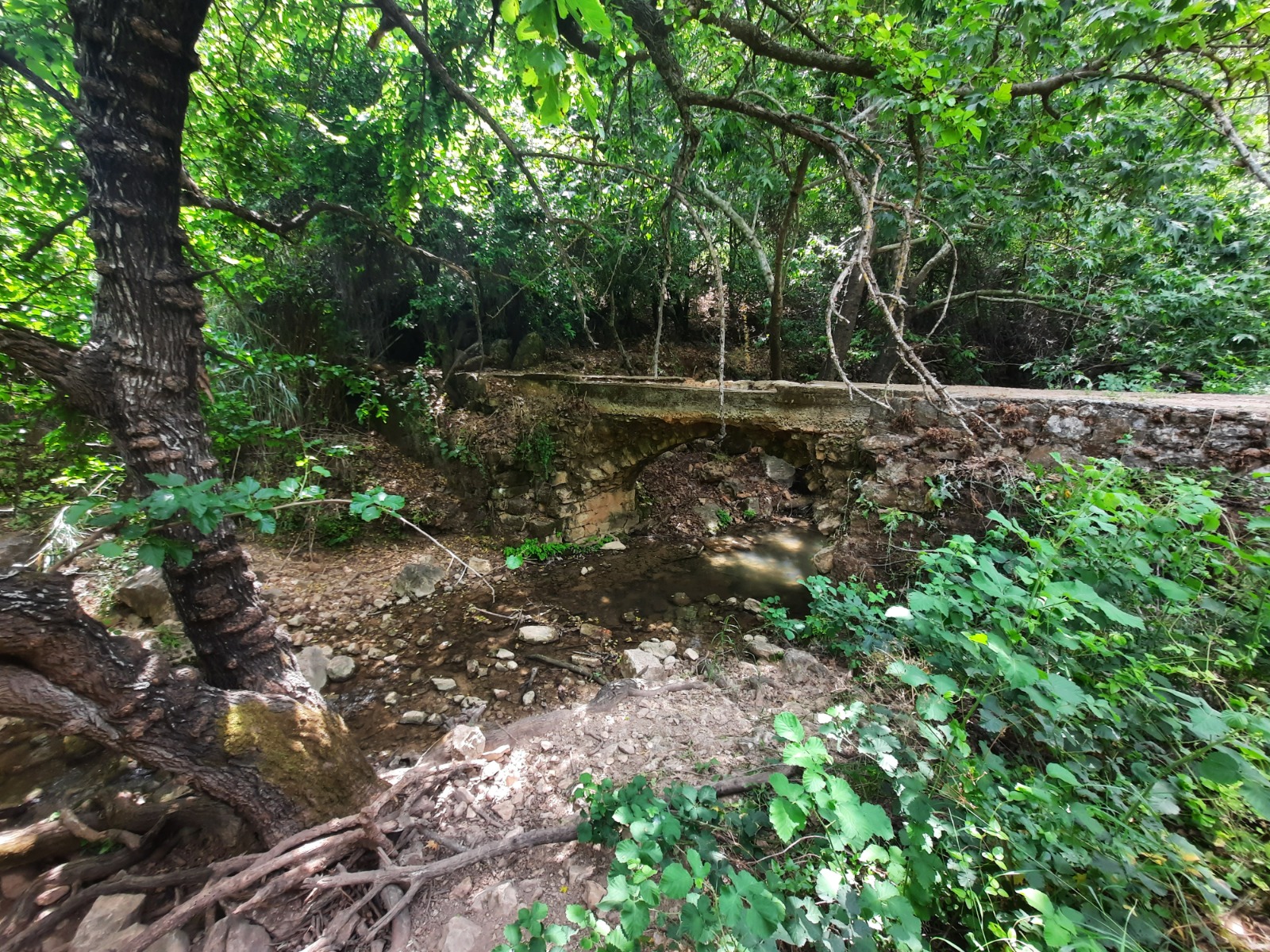
The sound of trickling water was everywhere and the creek had to be crossed a number of times.
After we made it past the rangers at the Sechvi Pools (woohoo!), the rest of the day is a blur of pain and fatigue. In these situations, I turn off my brain and switch to autopilot mode.
The terrain wasn’t even THAT difficult but I guess having ~17 kgs of gear on my back makes those ascents and descents more challenging. Kilometer 17 to 19 took us 2 hours and seemed like it would never end! I think I actually WHIMPERED!
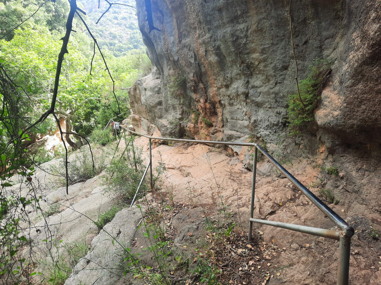
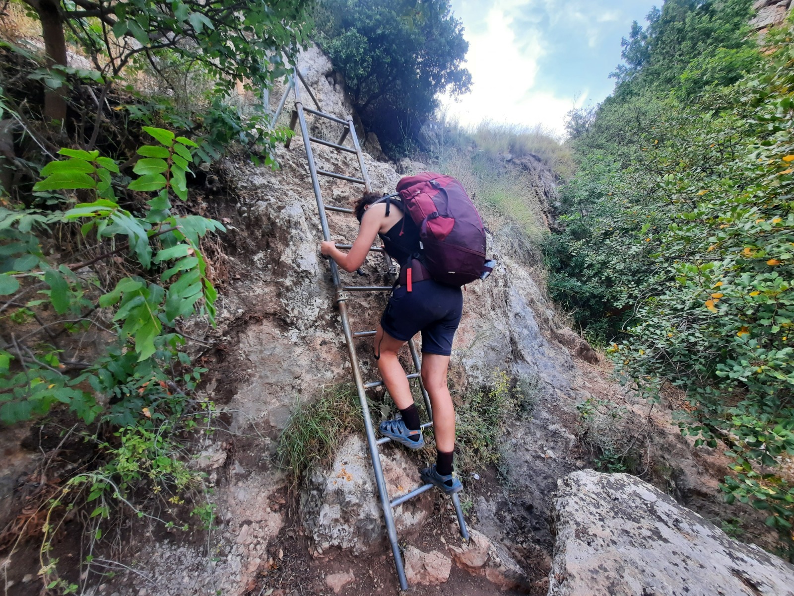
In a few places, there were handrails and a short ladder.
Our end point for Day 3 was the night camp next to Road 85 and the all-important drinking water tap nearby. Halleluyah, the end was in sight! Home sweet home at the end of a very long, exhausting day.
Day 4
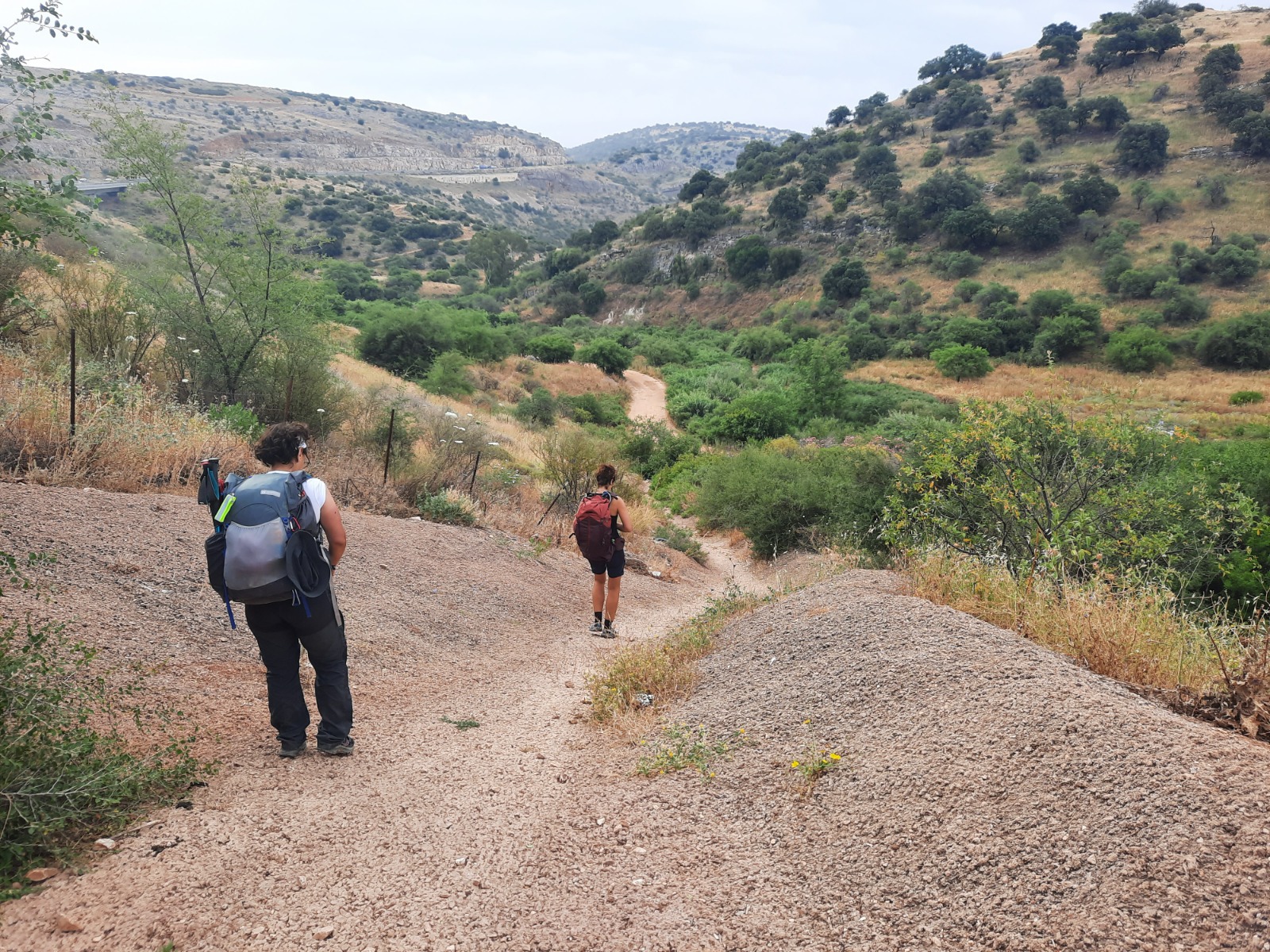
We rose early, packed up our gear, ate a light breakfast, crossed under Road 85 via the tunnel and continued down Nahal Amud.
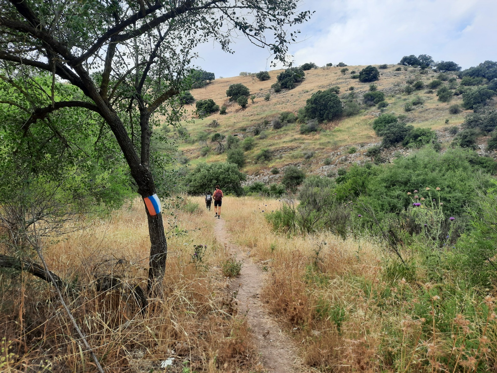
This fascinating cave system is one of the landmarks of Nahal Amud. On a previous hike past this place with a couple of friends and my daughter, we scrambled up to the caves to have a closer look. The main cave is very large and full of pigeons and bats. If hysterically chirpy, flappy creatures aren’t your thing, don’t do this.
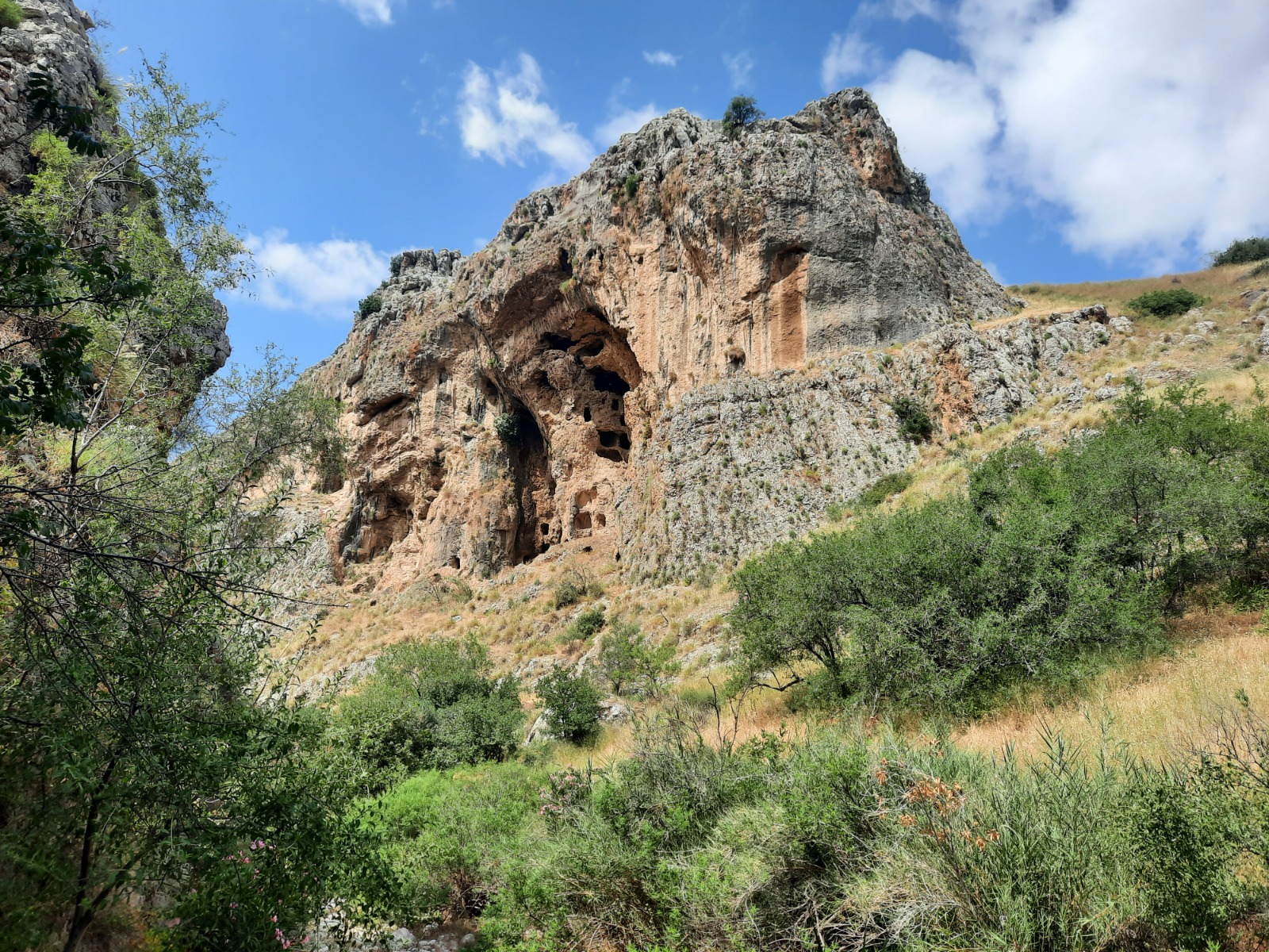
Ever wondered why this creek is called Nahal Amud (Pillar Creek)? Now you know!
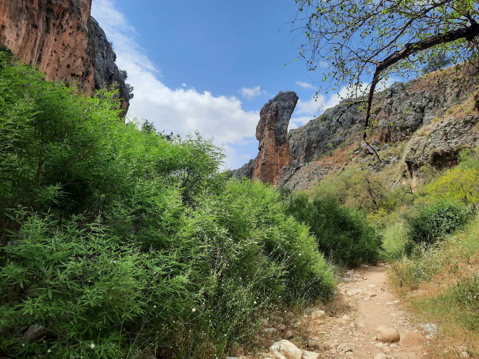
Just before the trail widened out into mercifully flat terrain, we passed this one last cave called Golgolet Cave (Skull Cave). It was the cave in which the earliest human skull was ever found in Israel. This cave is roped off and entry is forbidden.
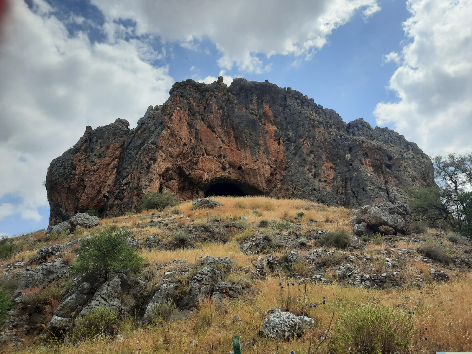
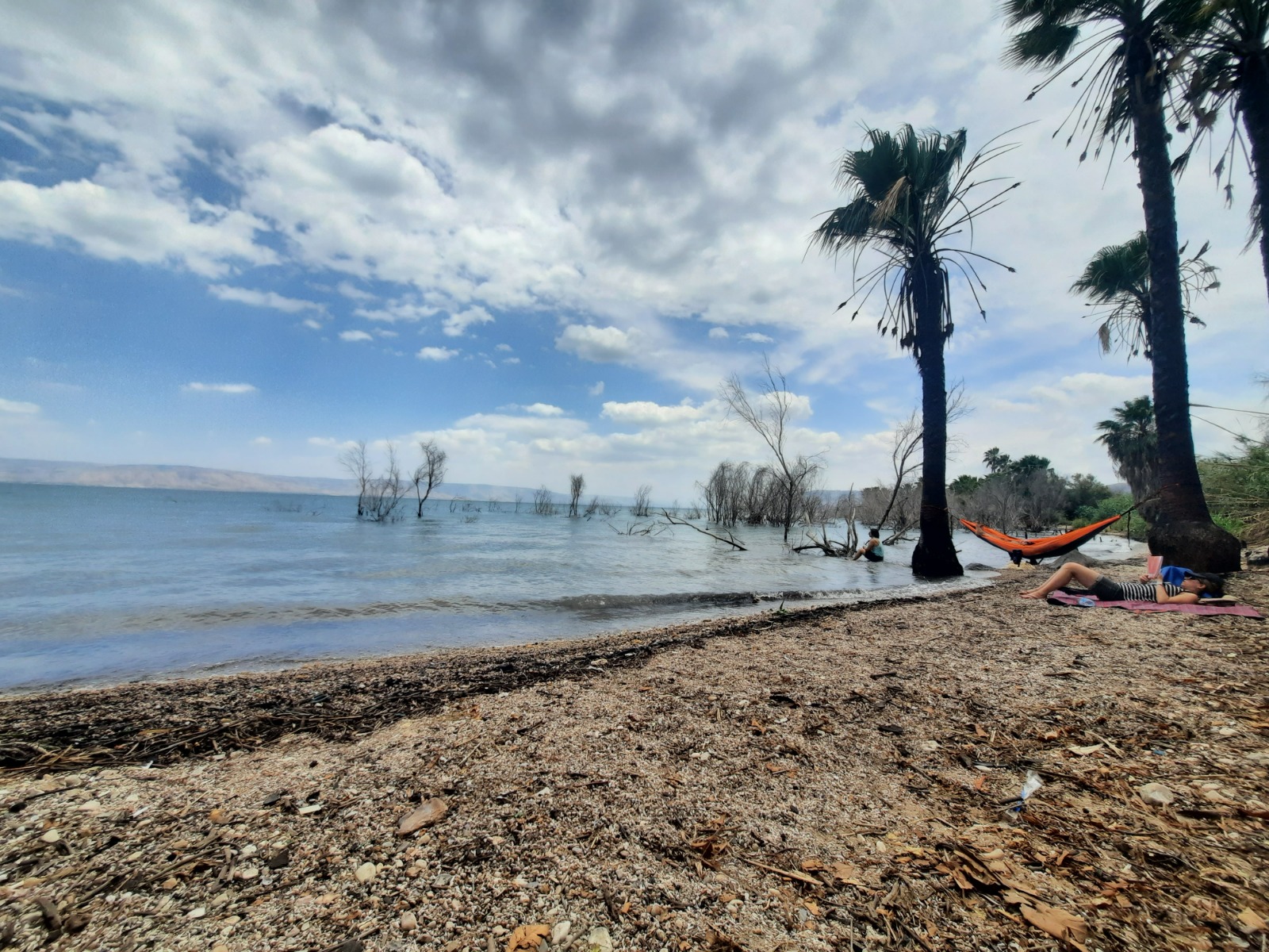
Ahhhh flatness! Sweeping views! And some serious agriculture – watermelons, bananas and mangos – in the last kilometer before we reached the Sea of Galilee.
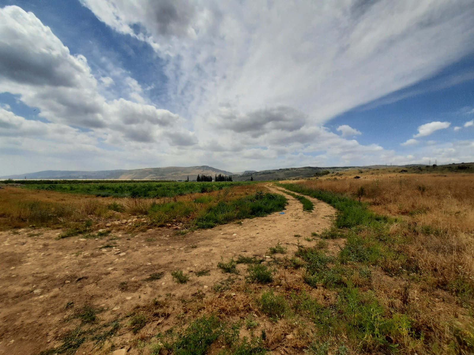
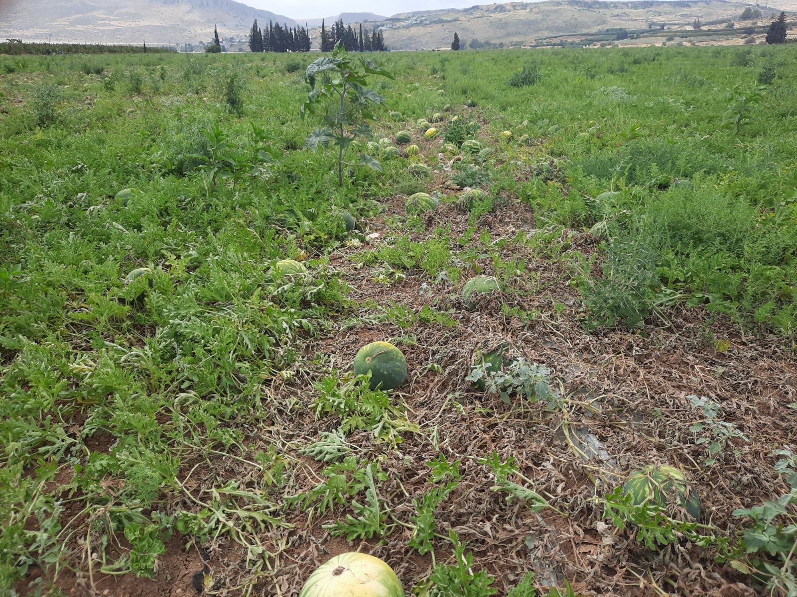
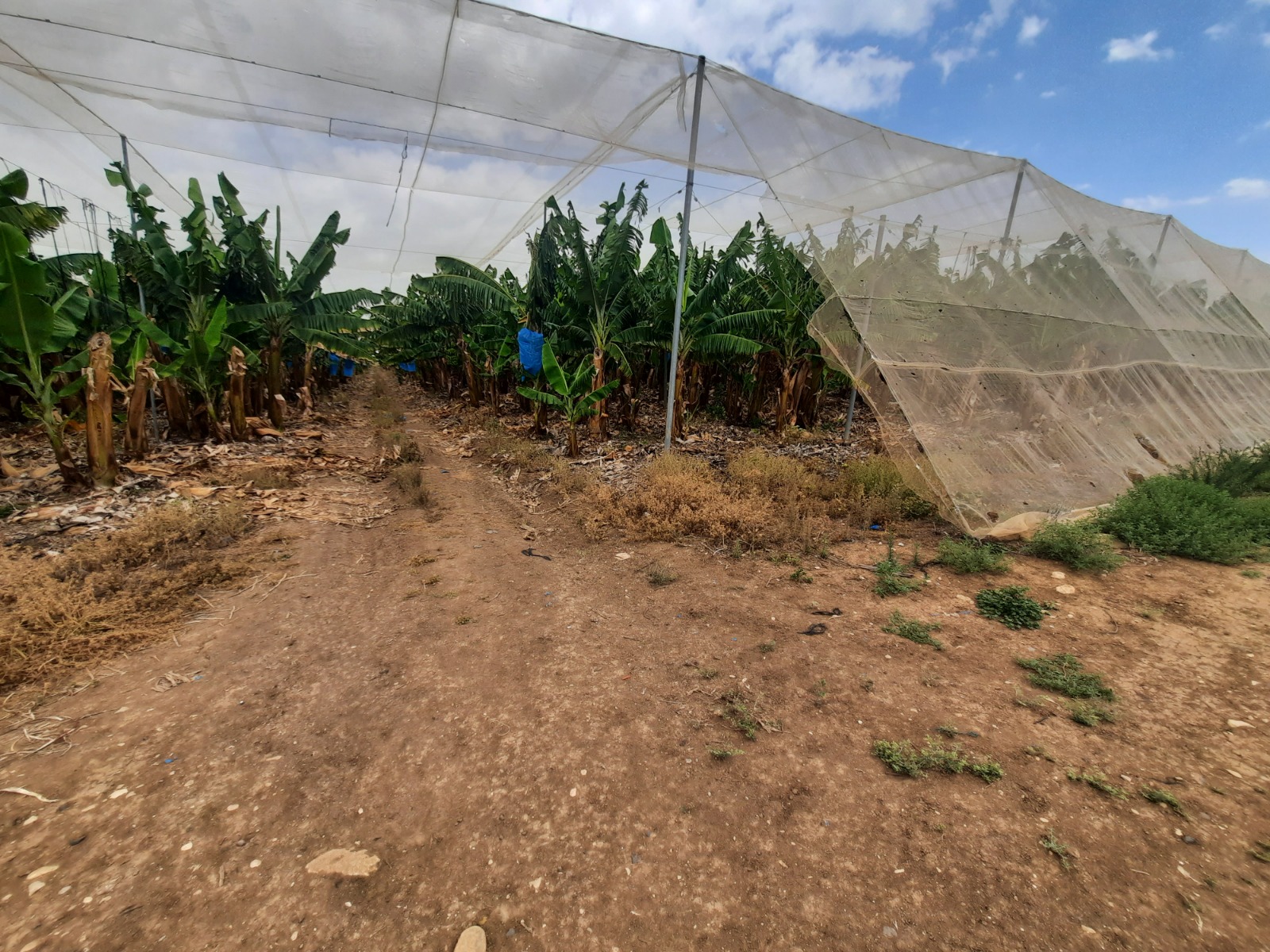
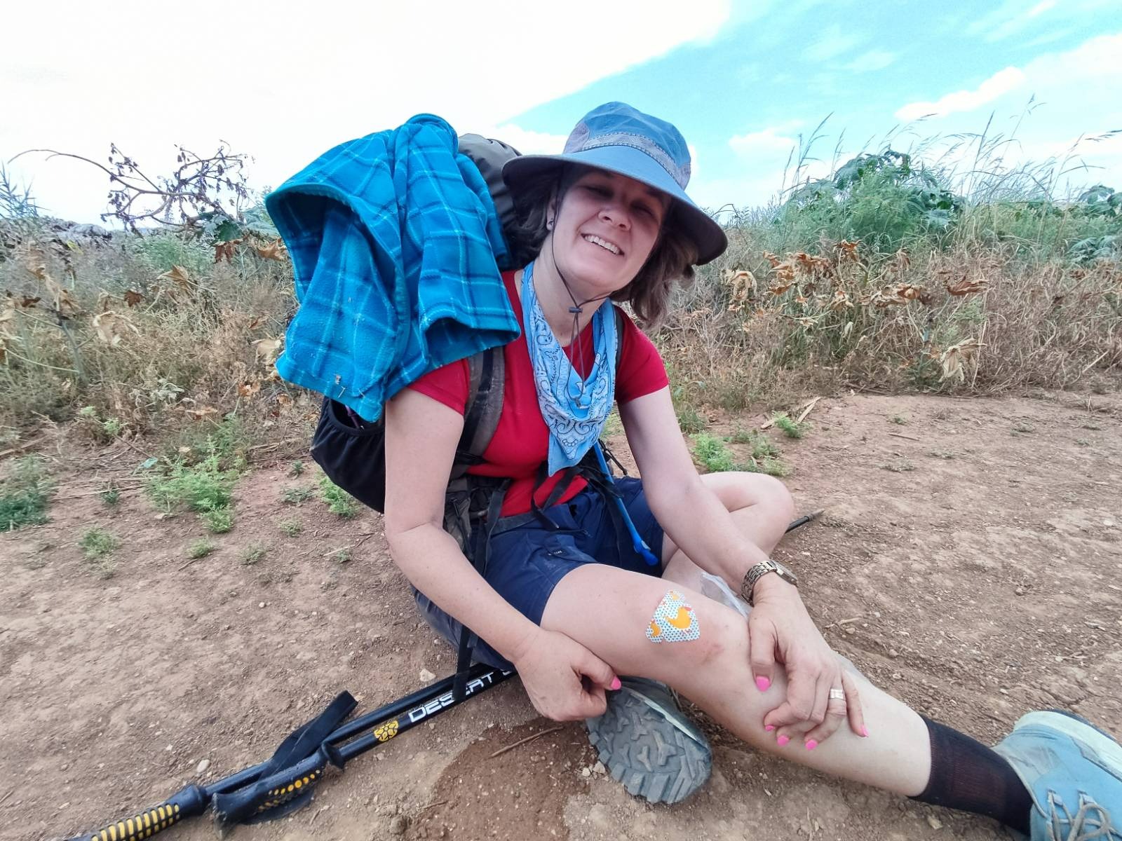
During the last kilometer, I fell badly. Over NOTHING! We were on a level, hard-packed, wide dirt road. No idea how it happened but I wound up with a sprained ankle, bad scrape on one knee and three sprained fingers.
If I had broken something and had had to have been carted out of there by rescue services ONE kilometer from the end, that would have been annoying! But I managed to limp the last kilometer and complete the mission.
