Waze to free camping location nearby: Dalyot Parking Lot (picnic tables, garbage cans, flat concrete areas for tents)
Route type: Circular
Difficulty level: Moderate
Waze to start point: 32.758333, 35.659339
Notes:
- Start early to beat the heat. This hike is best done in the spring.
- Bring water clothes/shoes, towel.
Nahal Meitzar was the 2nd hike of a 2-day camping/hiking trip with my friend in the southern Golan Heights a few weeks ago. You can read about the hike we did on the first day here.
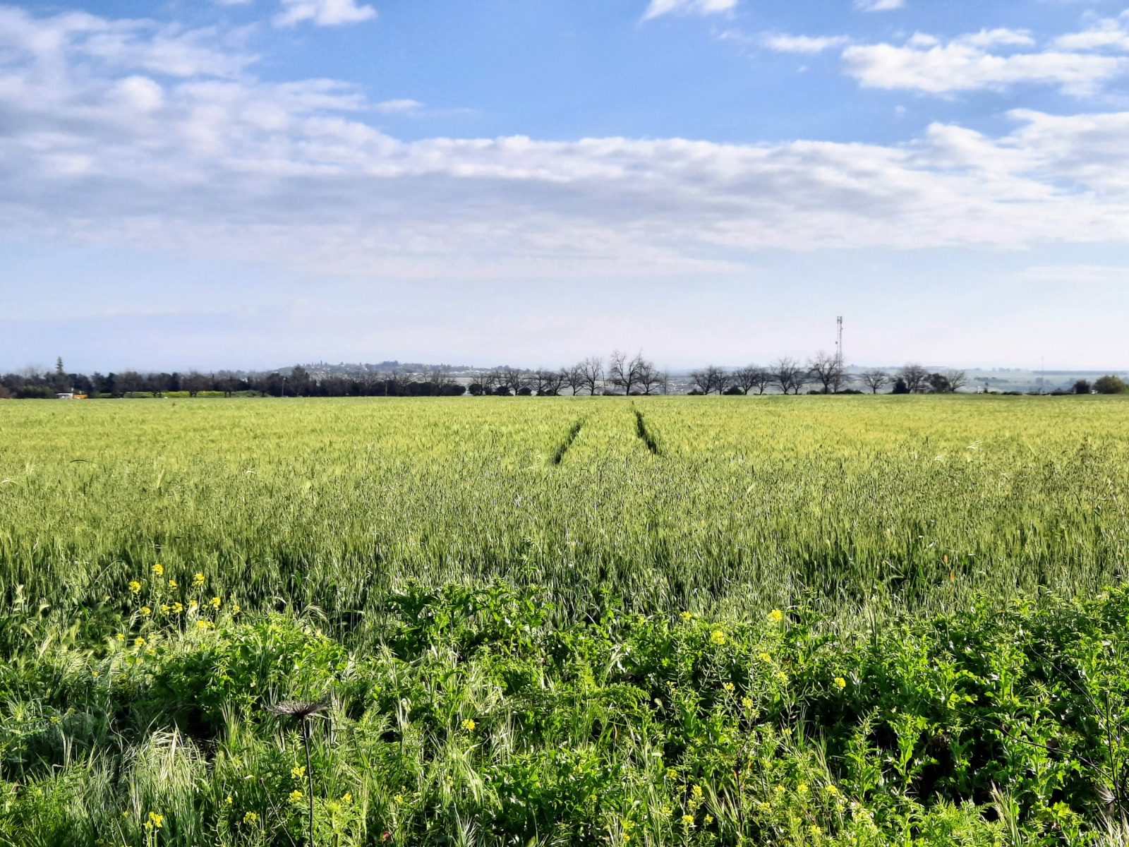
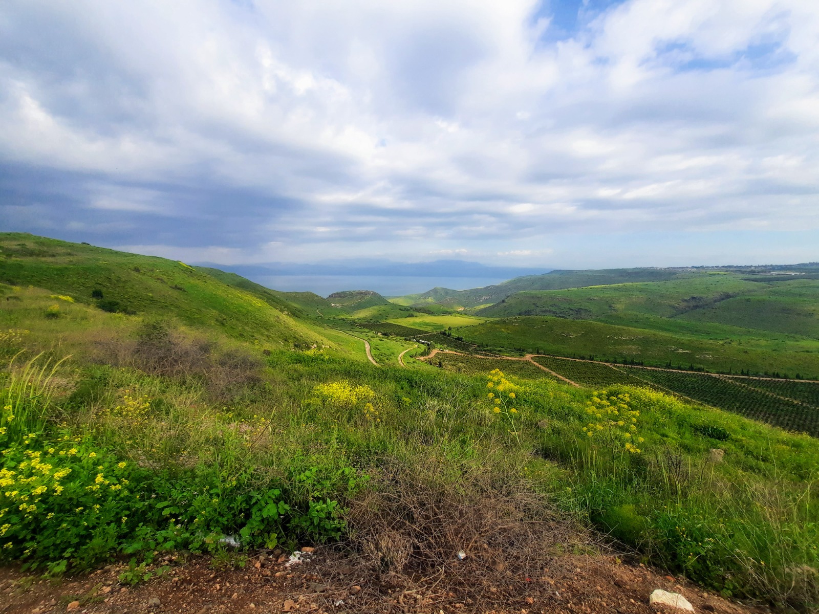
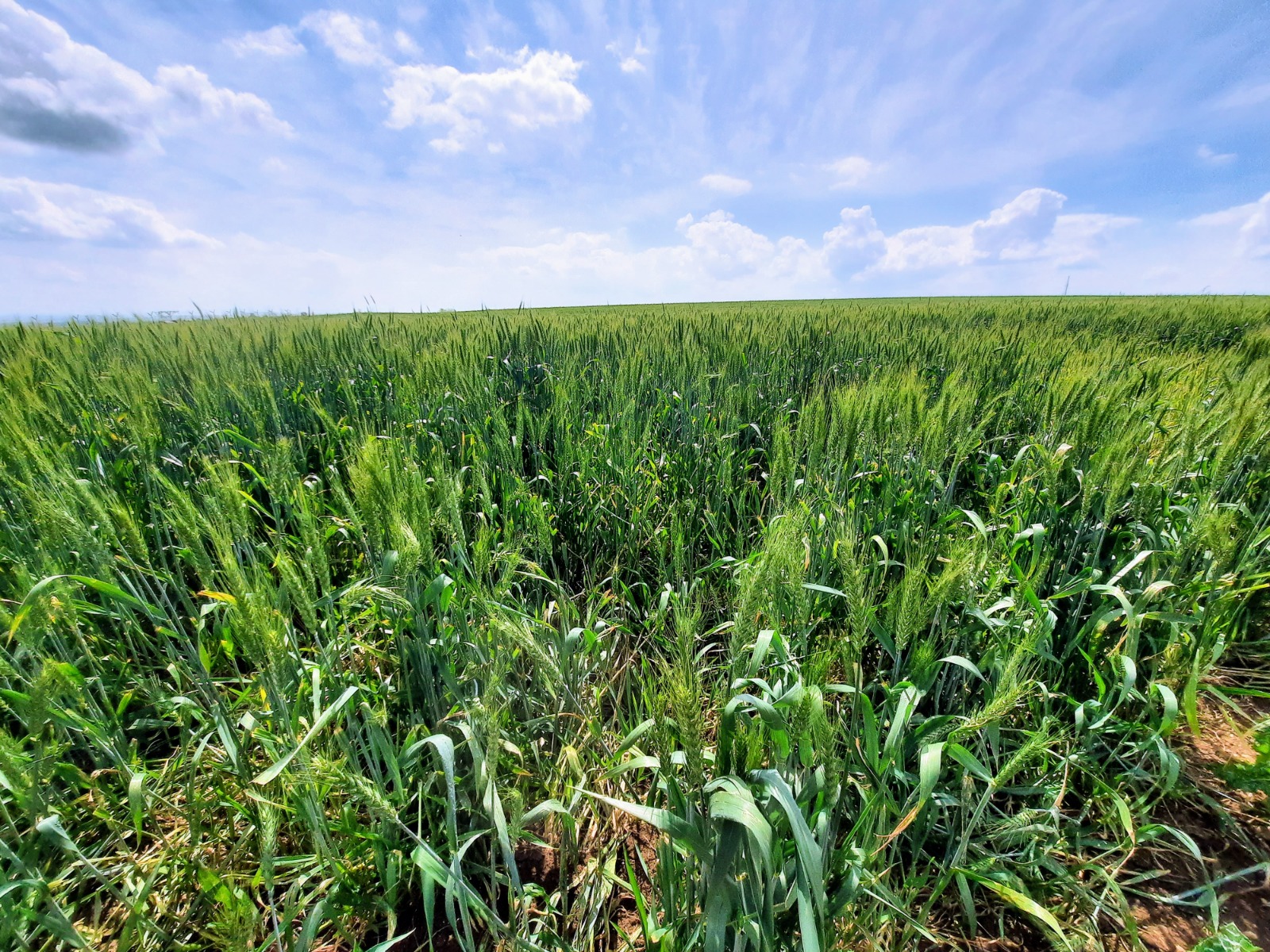
The hike began at the parking lot of Mitzpeh Shalem, a holiday village next to Kfar Haruv. Walking back up the long access road towards Road 98, we passed enormous fields of wheat.
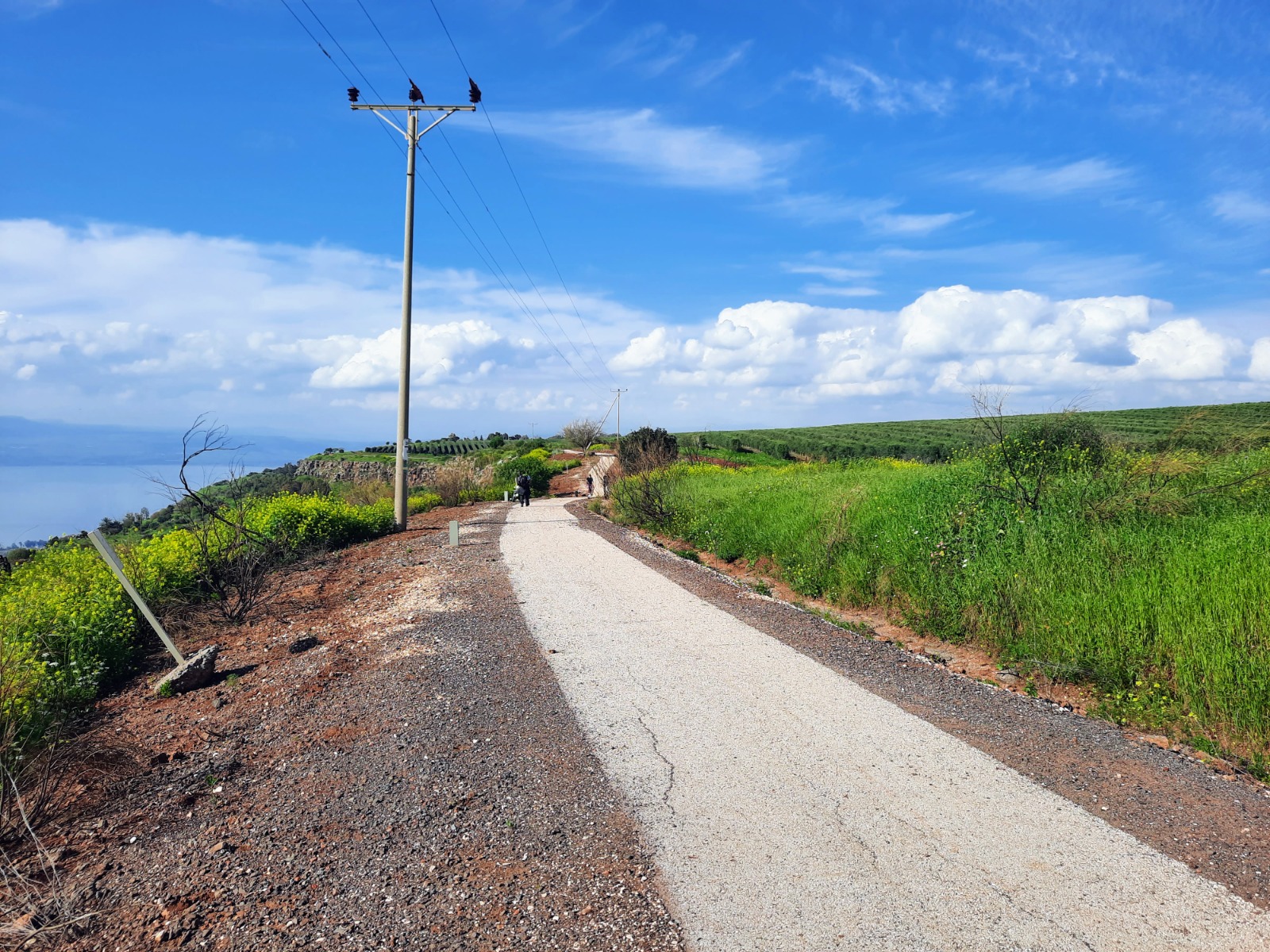
We turned left onto the paved path that runs parallel to Road 98.
The path provides spectacular views over the Sea of Galilee and the fields and hills, including Sussita, which is a National Park. For more history and info about this ancient hilltop city to the east of the Sea of Galilee, you can read more here: https://en.parks.org.il/reserve-park/sussita-hippos-national-park/.
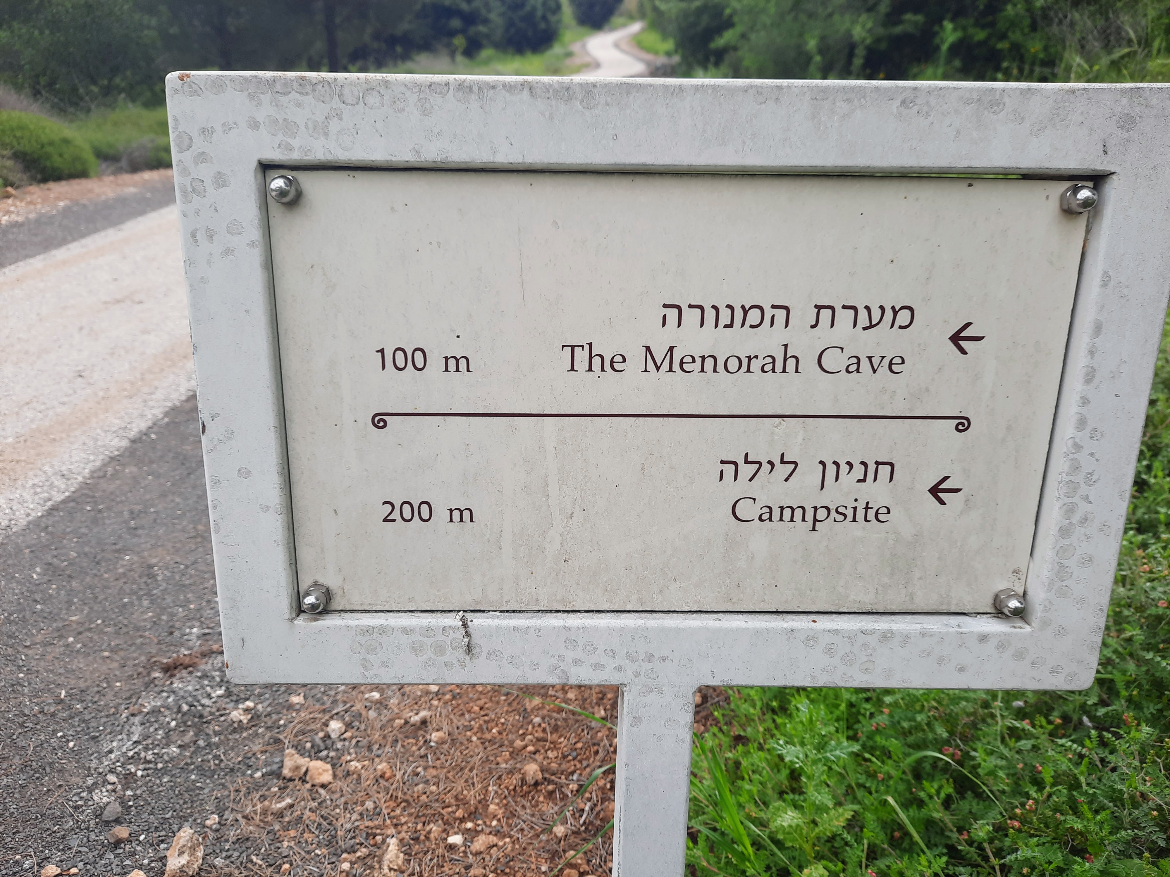
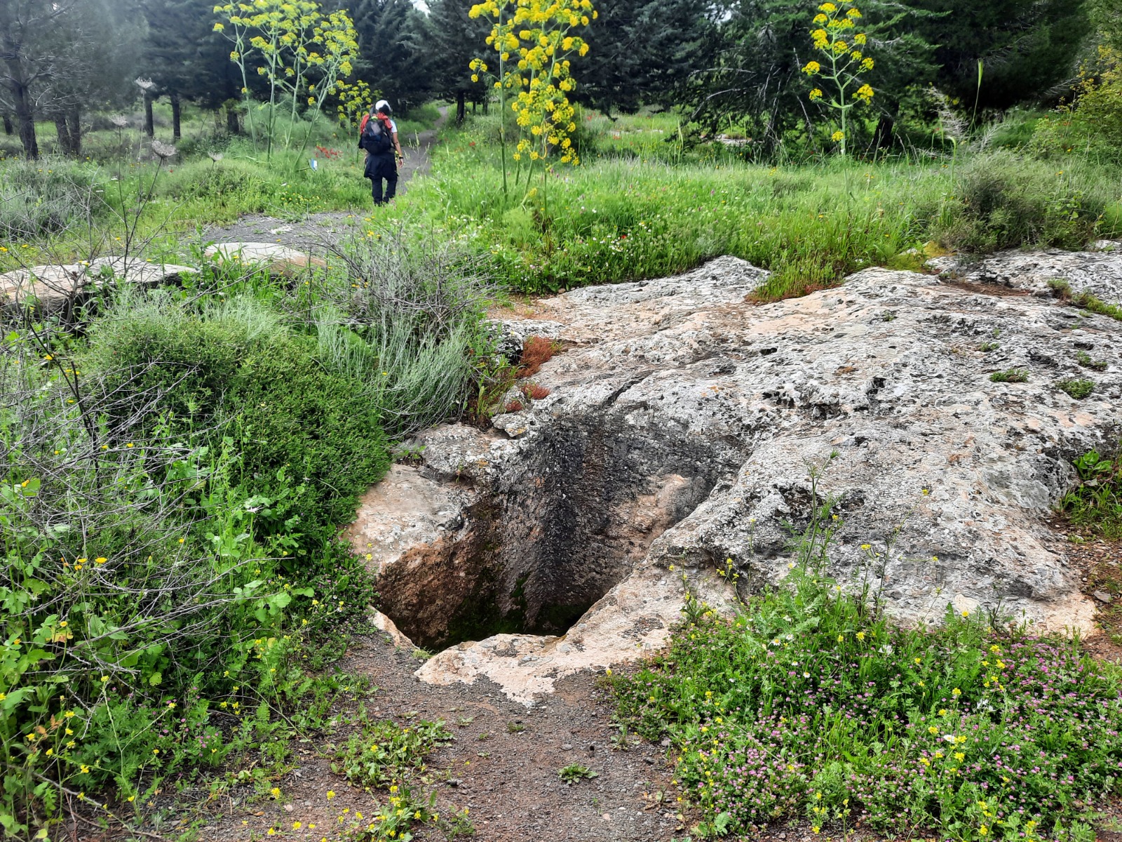
Further along the path is an ancient Jewish burial cave called the Menorah Cave due to the carving of a menorah over the cave’s entrance. Getting there involves a short signposted deviation from the path.
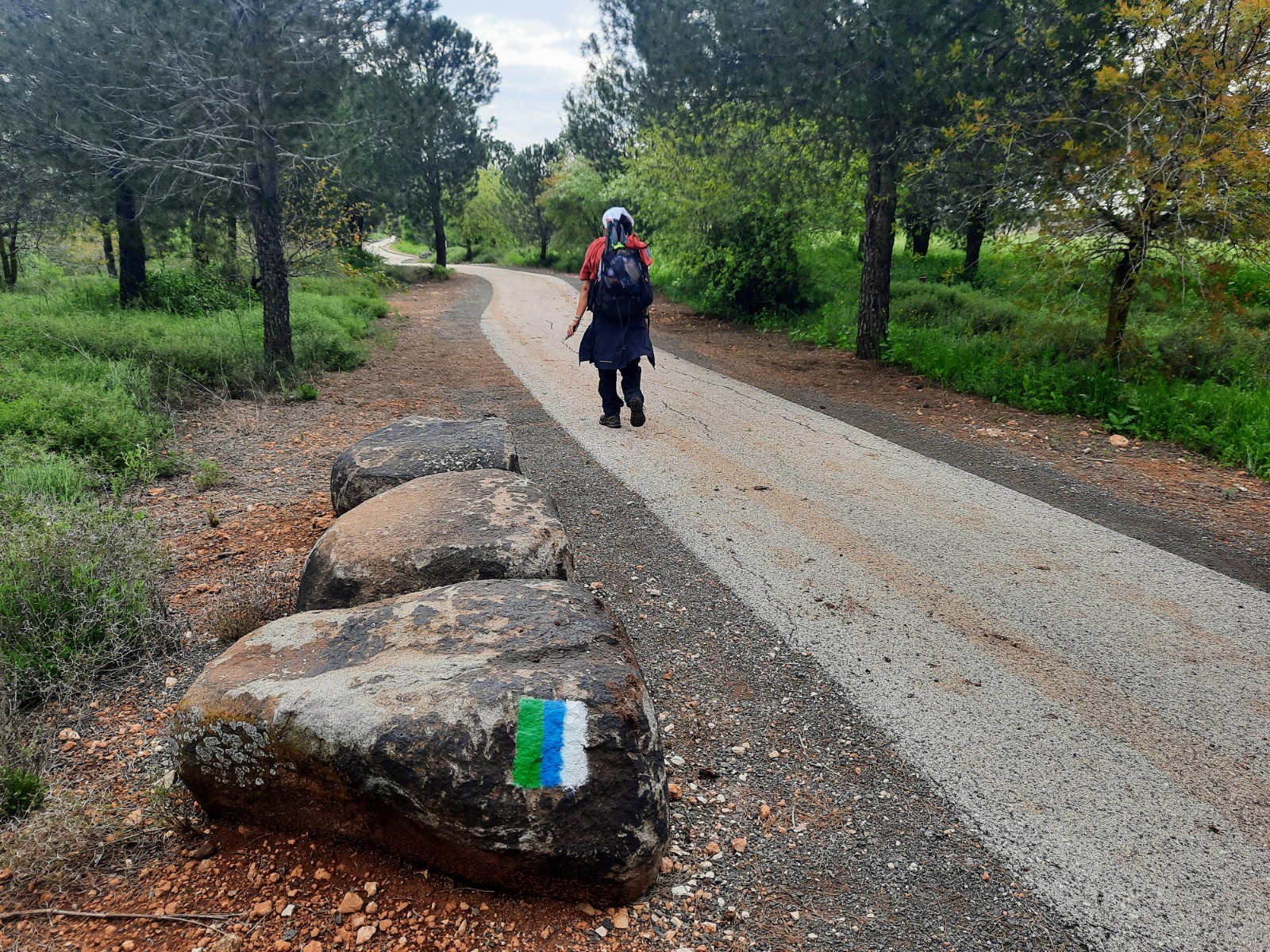
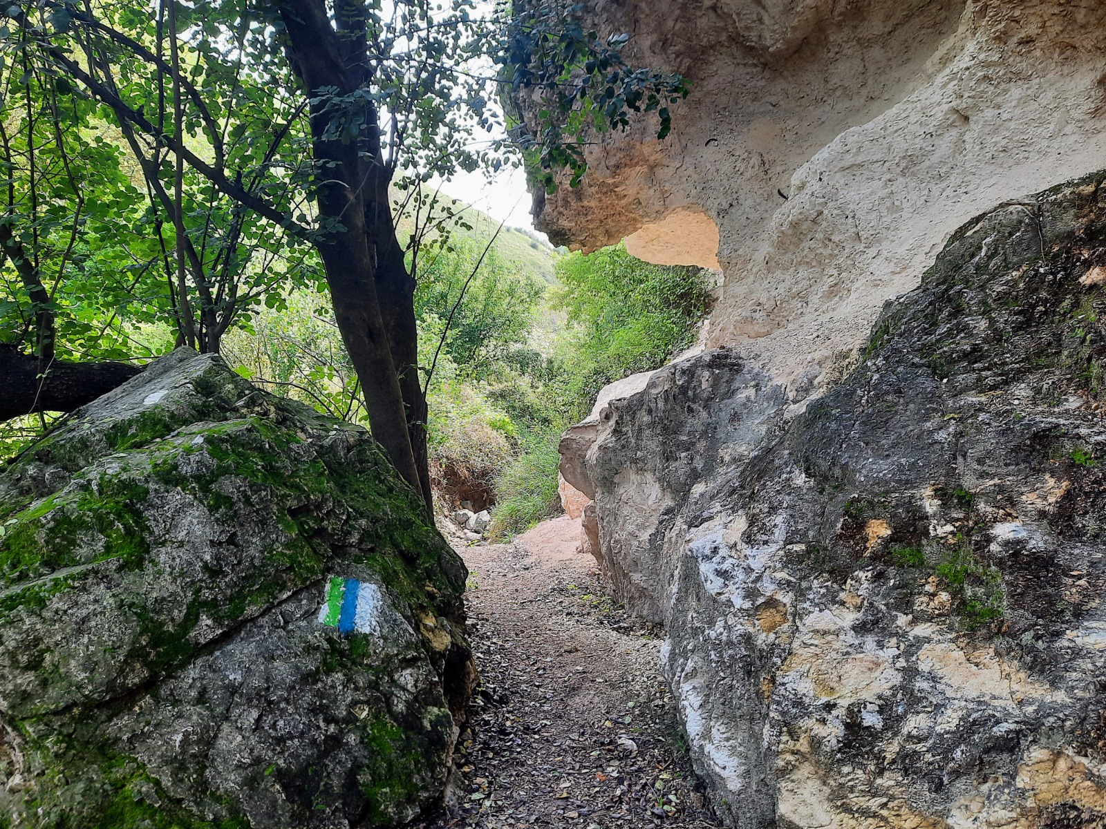
In the vicinity of the Menorah Cave, we began seeing the Golan Trail markings – green, blue and white. We followed these markings for the majority of the rest of the hike.
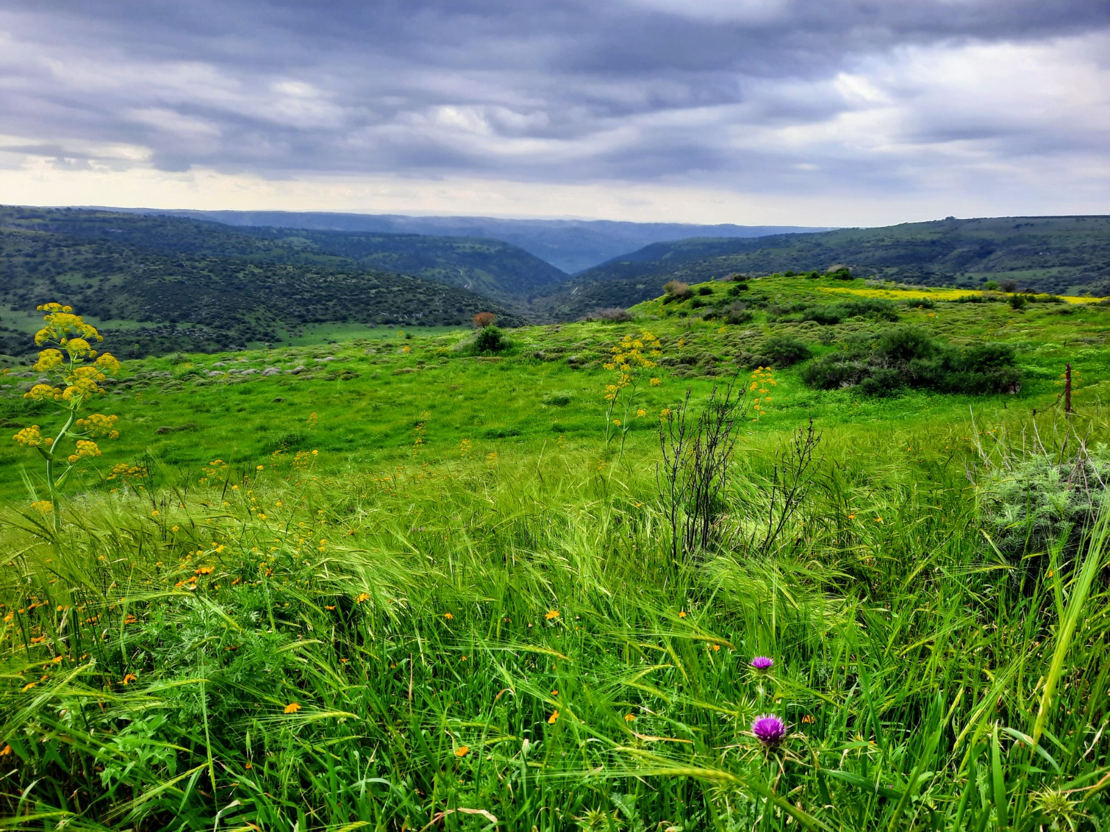
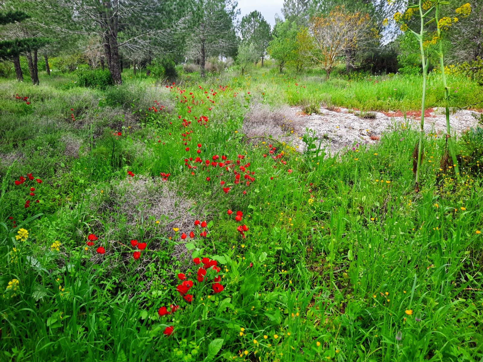
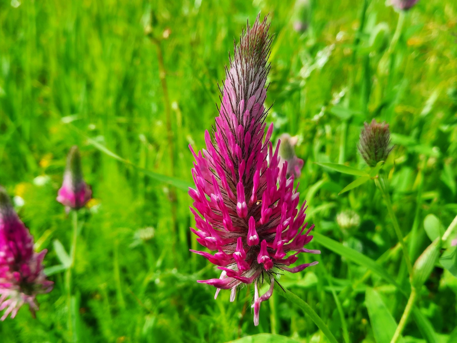
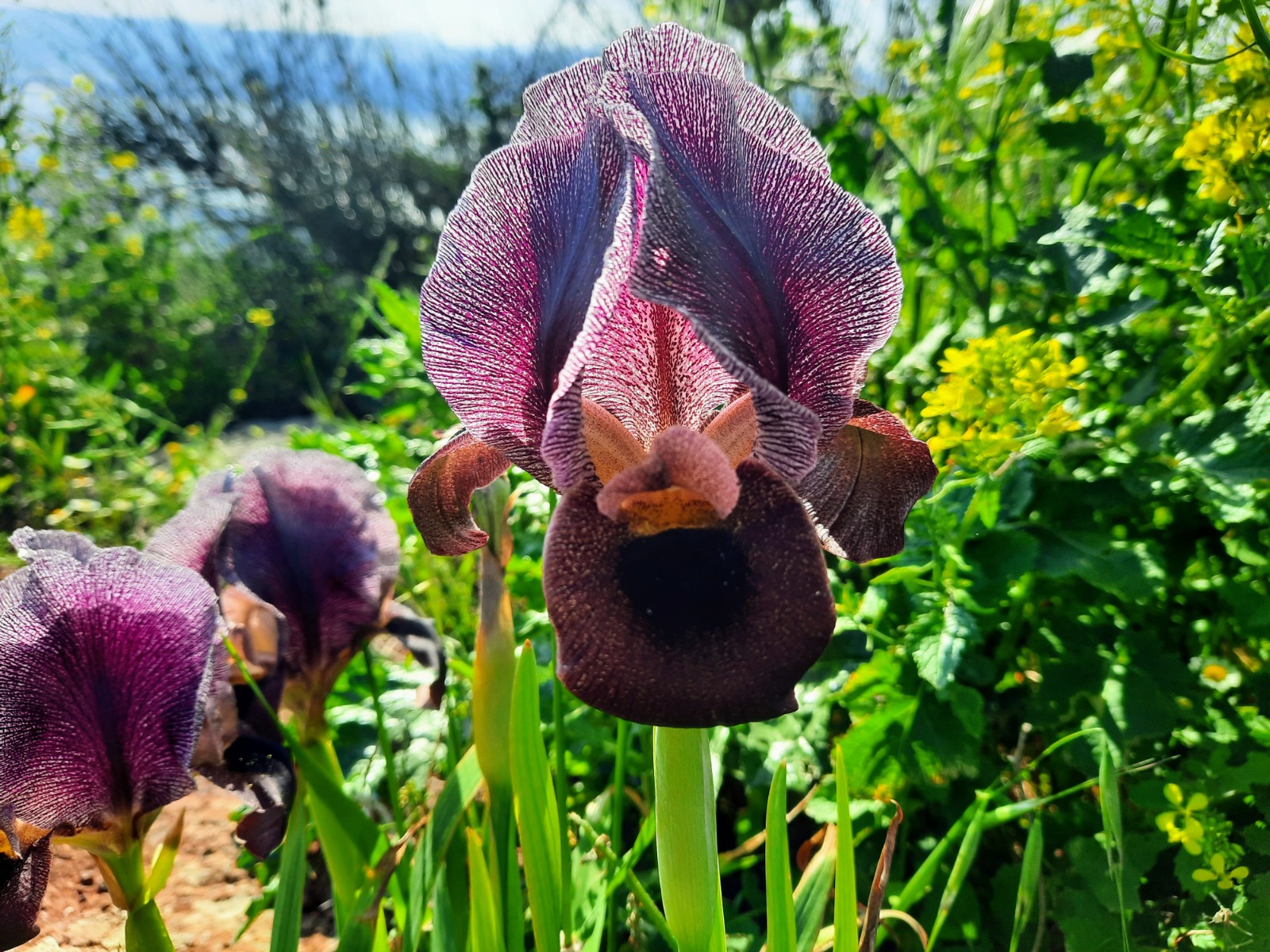
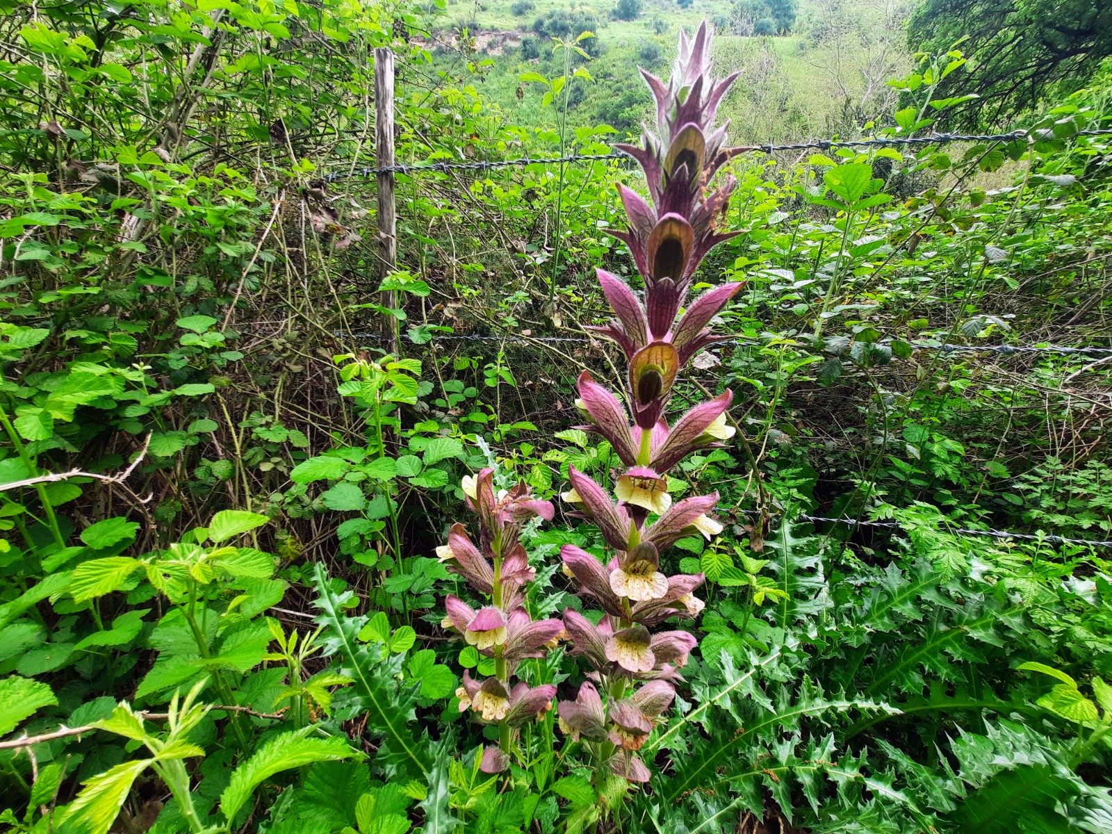
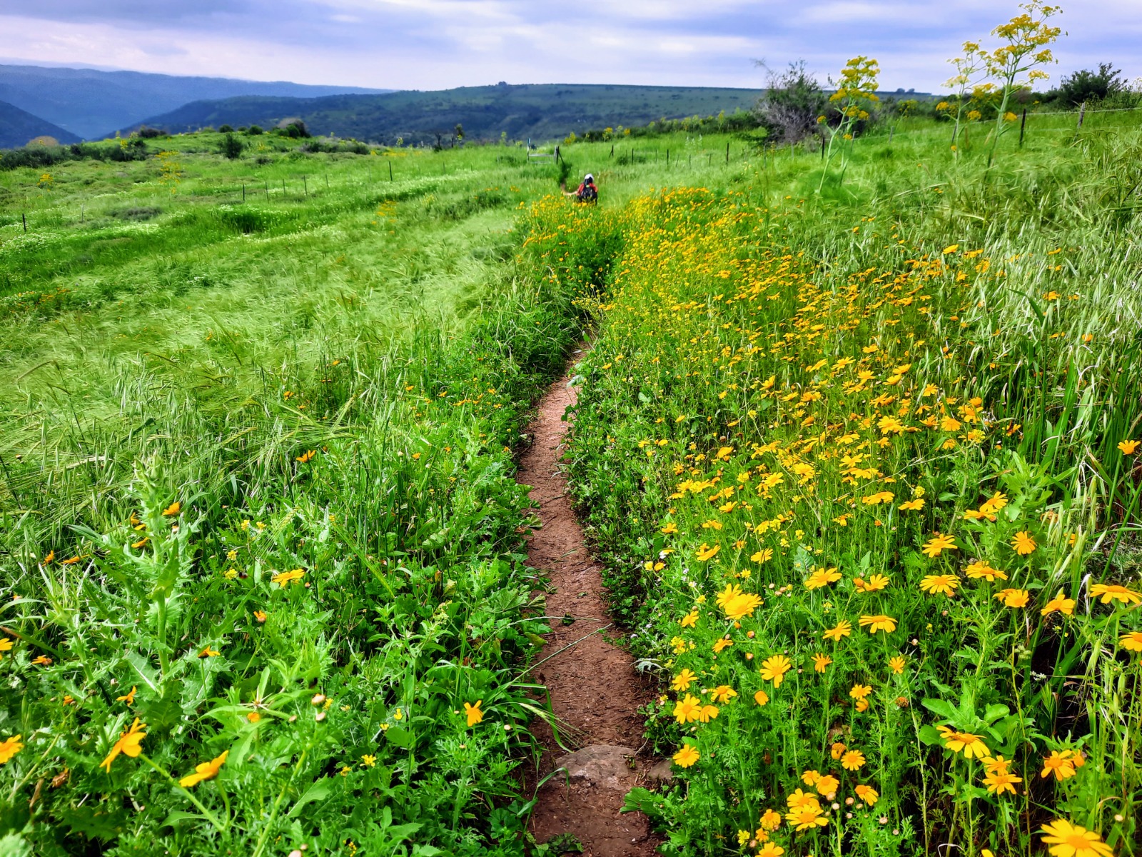
Everything in the Golan Heights stays cool, damp and flowery just a bit longer than everywhere else.
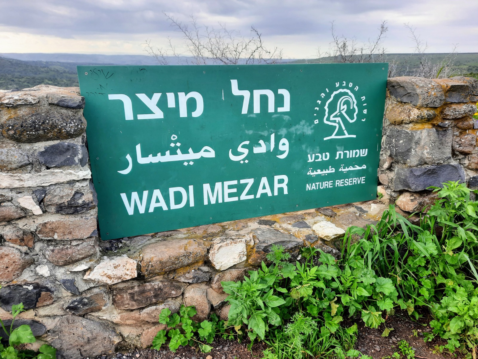
The green/blue/white Shvil HaGolan trail markings brought us back to Road 98. Crossing the road carefully, we began the descent down to Nahal Meitzar.
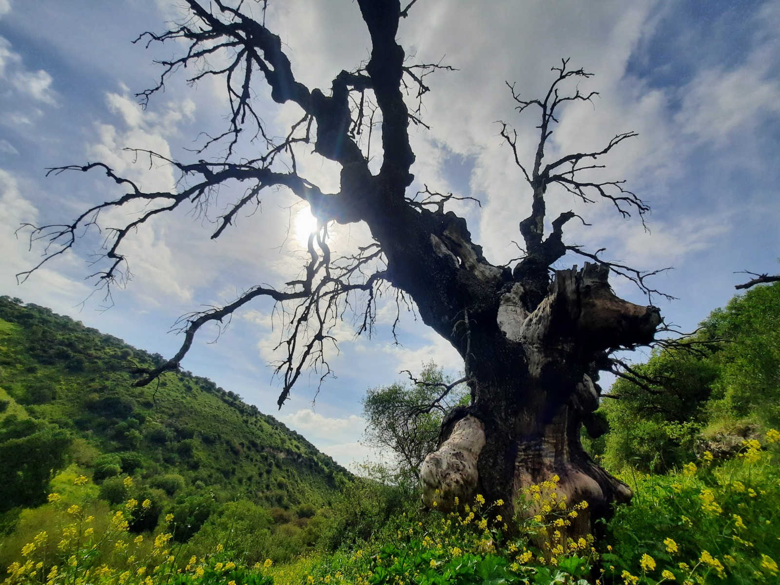
Once down in the streambed, it was shady and cool with interesting rock formations in some places and an old tree silhouetted against the sky.
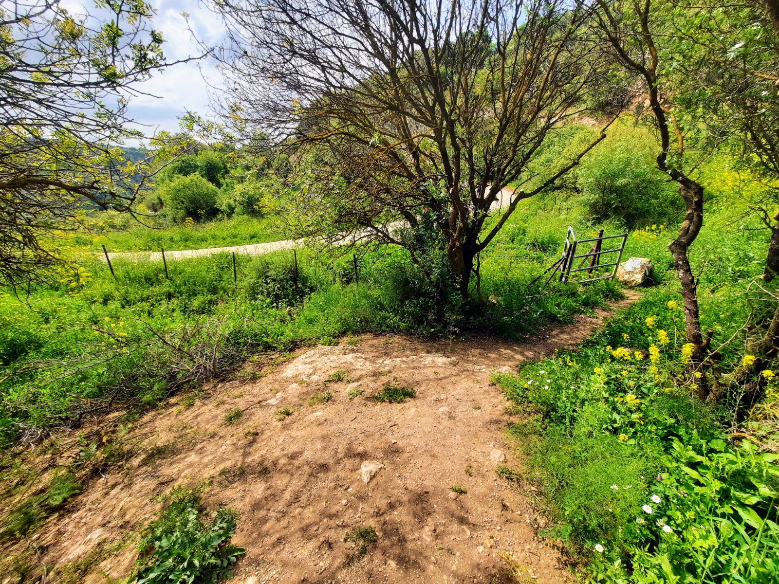
Eventually we passed through a gate of sorts and came to a paved road. We wanted to visit the waterfall so we turned left and continued down the road as the signpost indicated.
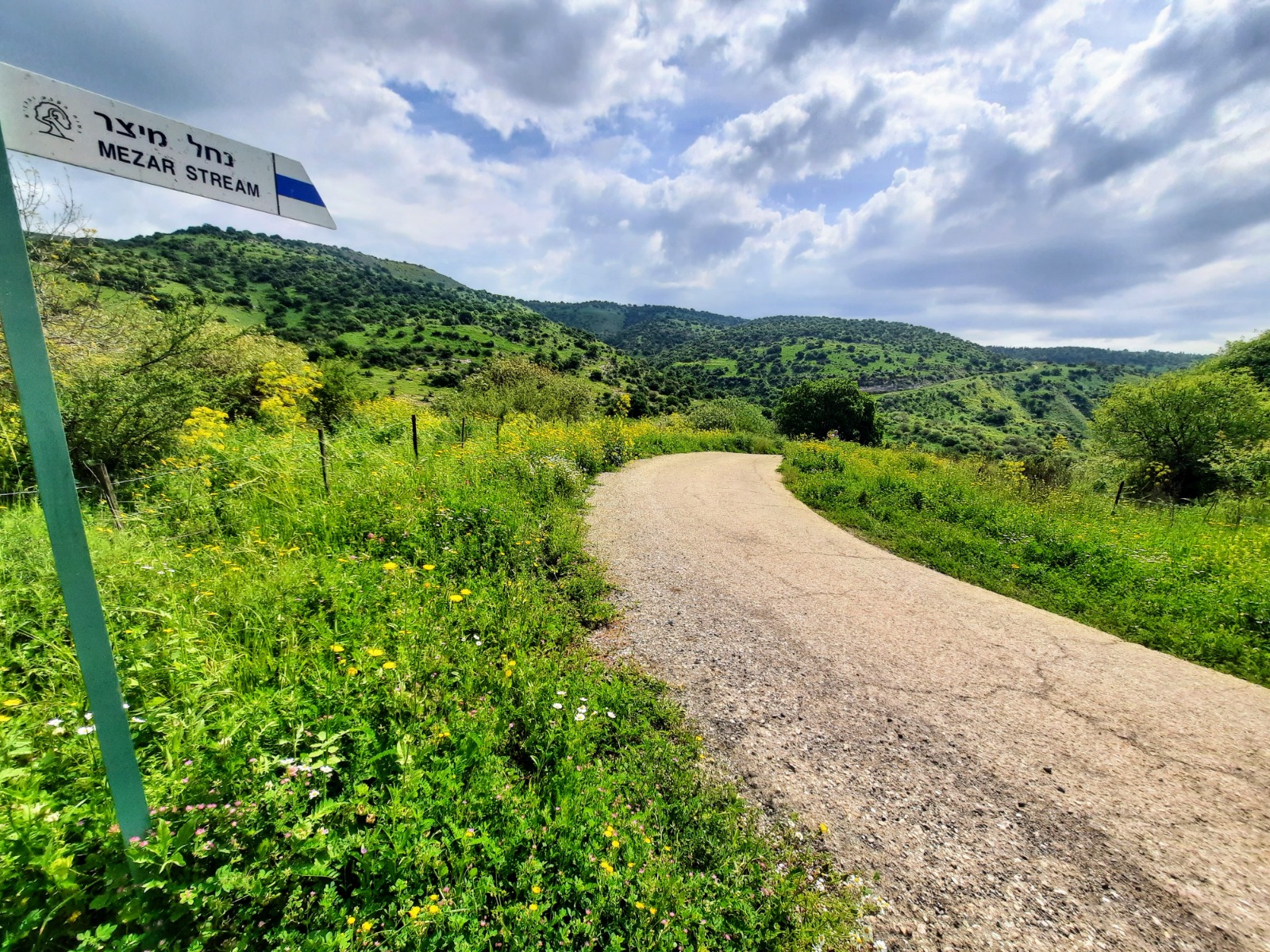
The paved road, and at the end, the blue trail to the waterfall, is a bit long and exposed to the sun but well worth it once you get there.
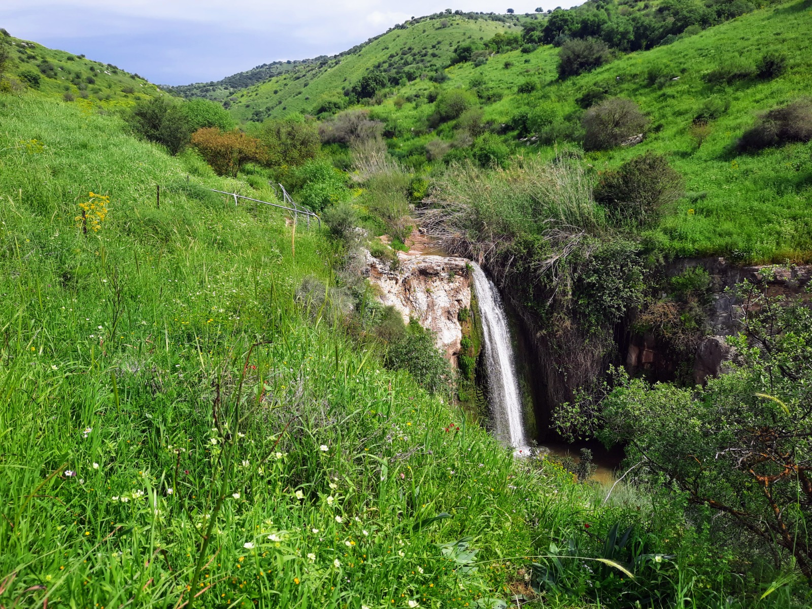
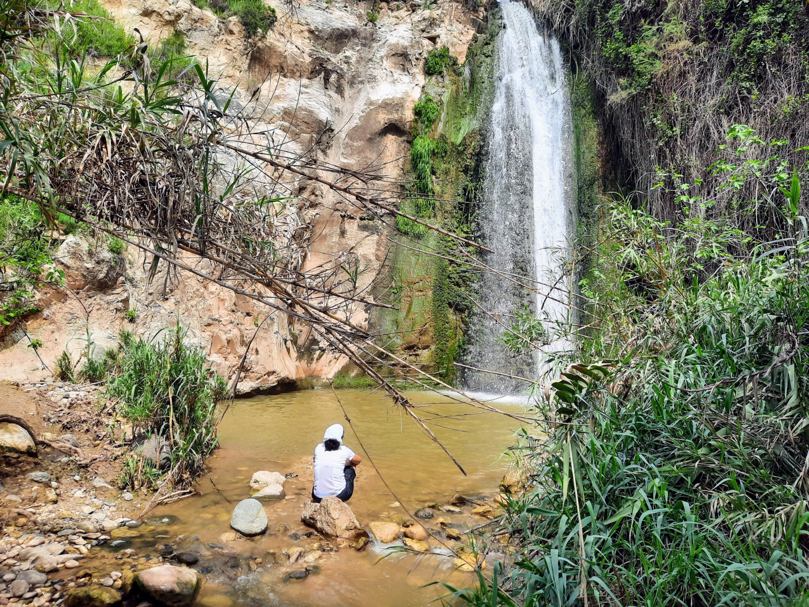
After pausing at the waterfall to rest, we walked back up the blue trail to the paved road and up, up, up past the gate and signpost where we had exited the streambed earlier. This ascent is approximately 300 meters but it is exposed to the sun and it was midday. It felt e n d l e s s!
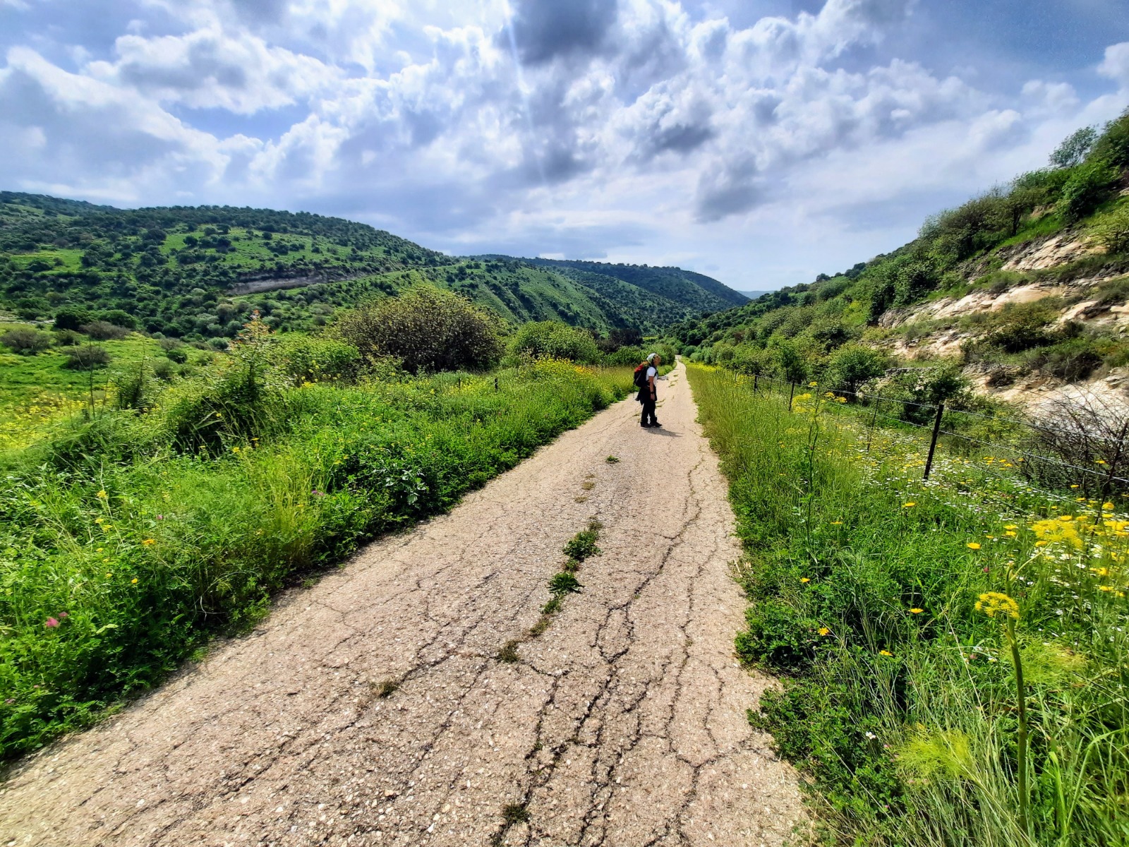
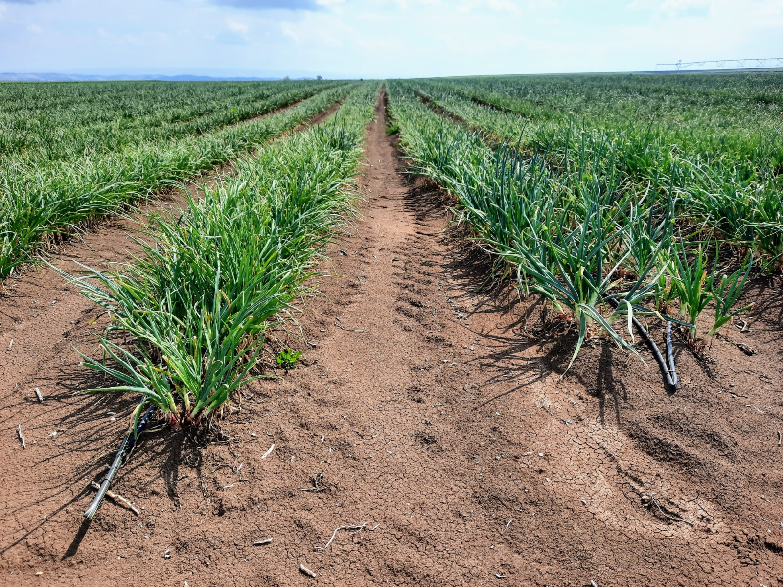
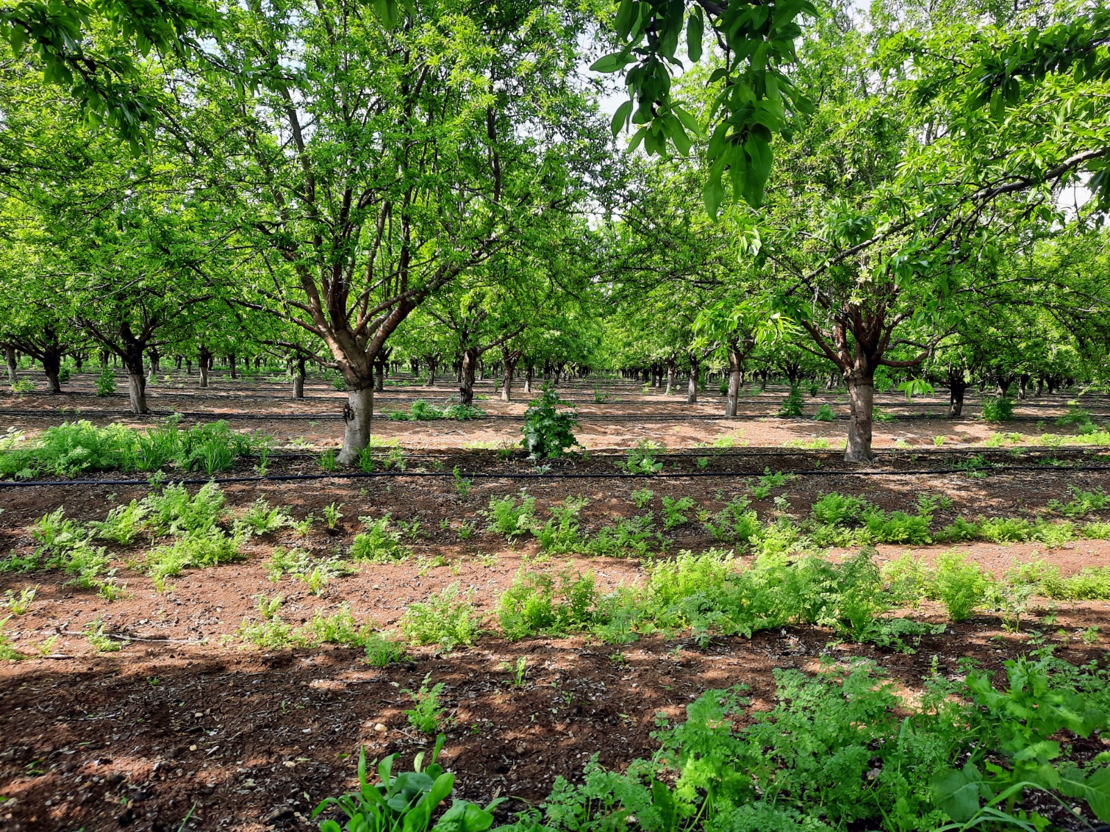
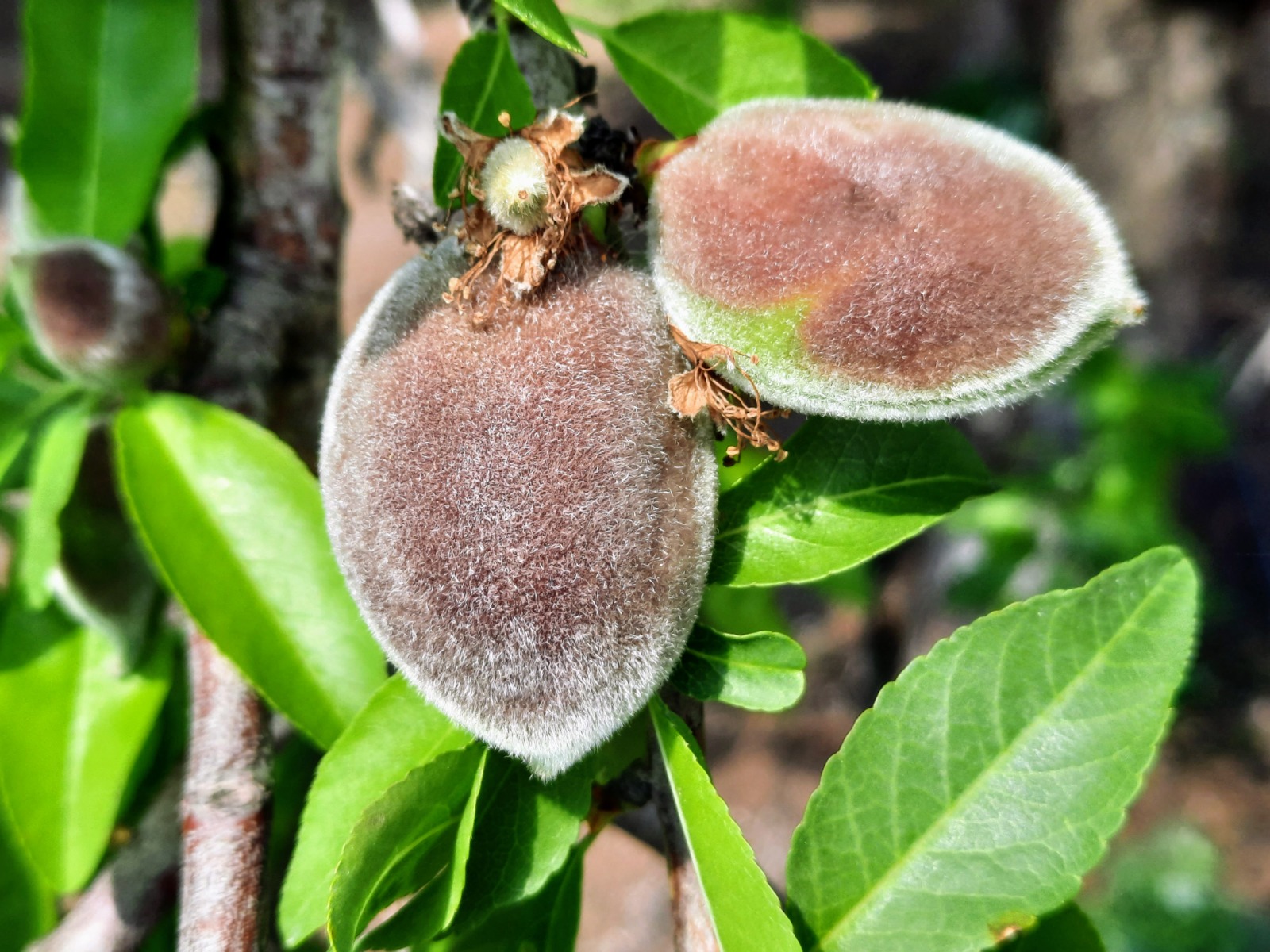
We stayed with Shvil HaGolan until it brought us back out to Road 98. Along the way, we encountered vast fields of wheat, purple onions and almond orchards.
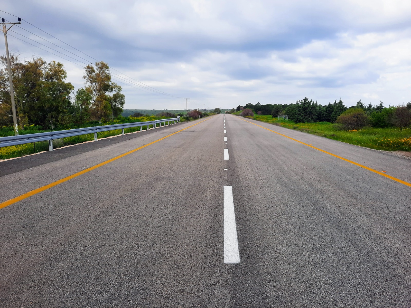
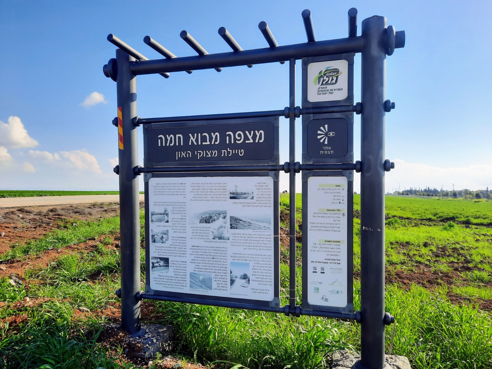
Making a right onto Road 98, we walked alongside it for about 1.3 kms at which point we made a left turn where there was a large sign, in Hebrew and pointing away from us, which announced the Mitzpeh Mevo Hama observation point and the HaOn Cliffs Promenade.
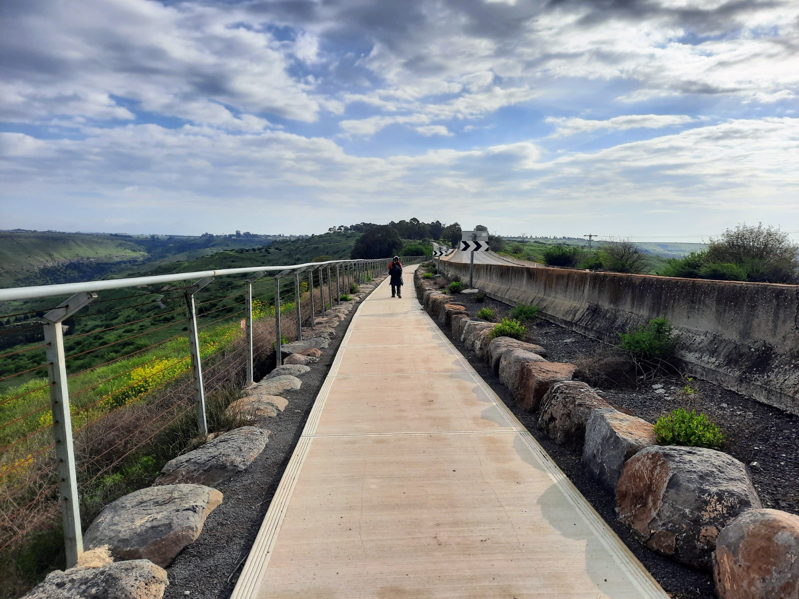
Walking about 370 meters down this road, to the right towards the sea and around a large water installation, we found the HaOn Cliffs Promenade, parts of which are still under construction. The promenade allowed us to complete the circuit back to Mitzpeh Shalem and our car.