
Route type: Loop
Difficulty level: Moderate
Waze to start point: 32.734163, 35.040572
Notes:
- Start early to beat the heat!
- Some handholds and bouldering required.
After an approximately 2 month hiatus due to bronchitis, a trip abroad and then Passover, we got back into the groove by going north to the Carmel Mountains. Due to the war, it had been a very long time since we’d hiked in the north. I’d almost forgotten what that’s like. Parking the car at the Har Alon Campground, the 5 of us set off on this loop trail in a clockwise direction.
The sun was a clean, bright blue and the early morning sun was casting long shadows.
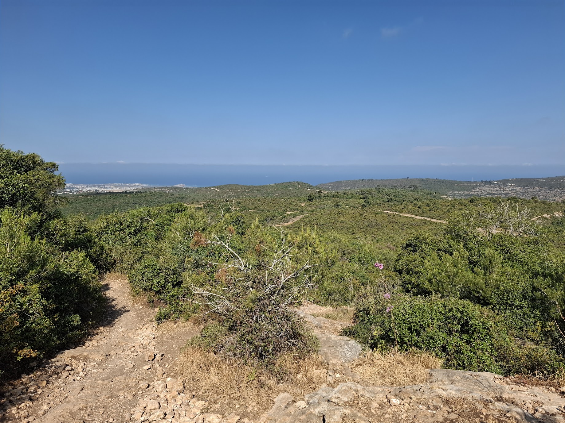
The trail began with a short descent in Nahal Alon followed by a left turn and a gradual ascent towards the Israel National Trail. At various points, we were treated to expansive views of the Mediterranean in the distance.
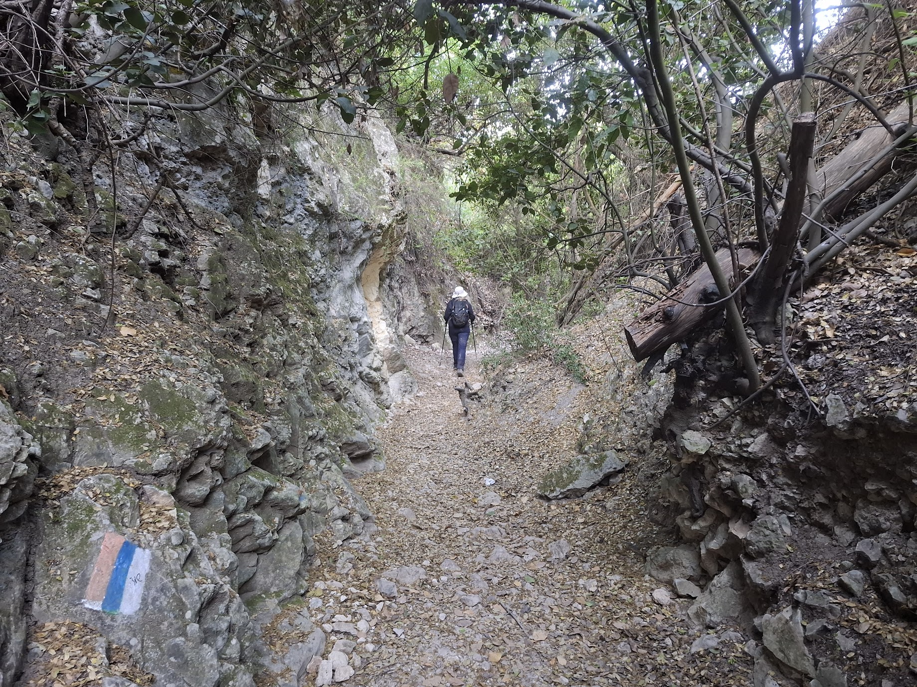
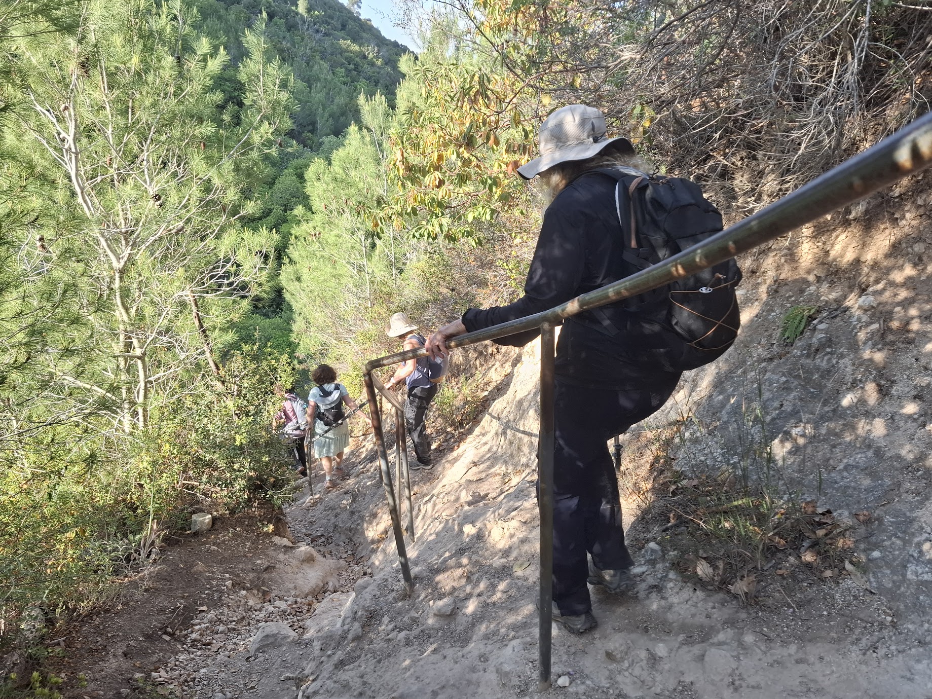
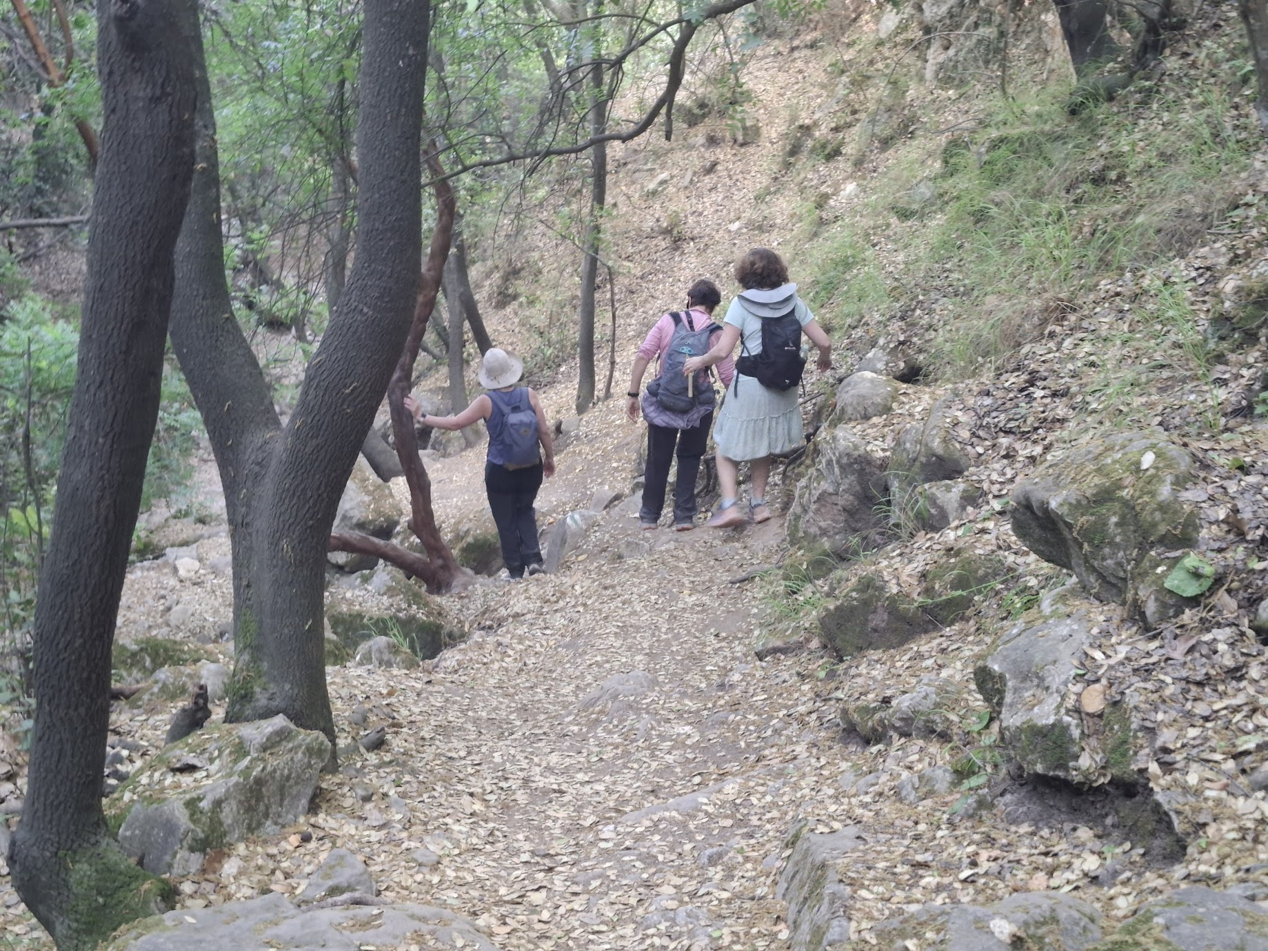
The sharp right turn onto the Israel National Trail is the start of the shady descent in Nahal Hik. This descent includes some handholds.

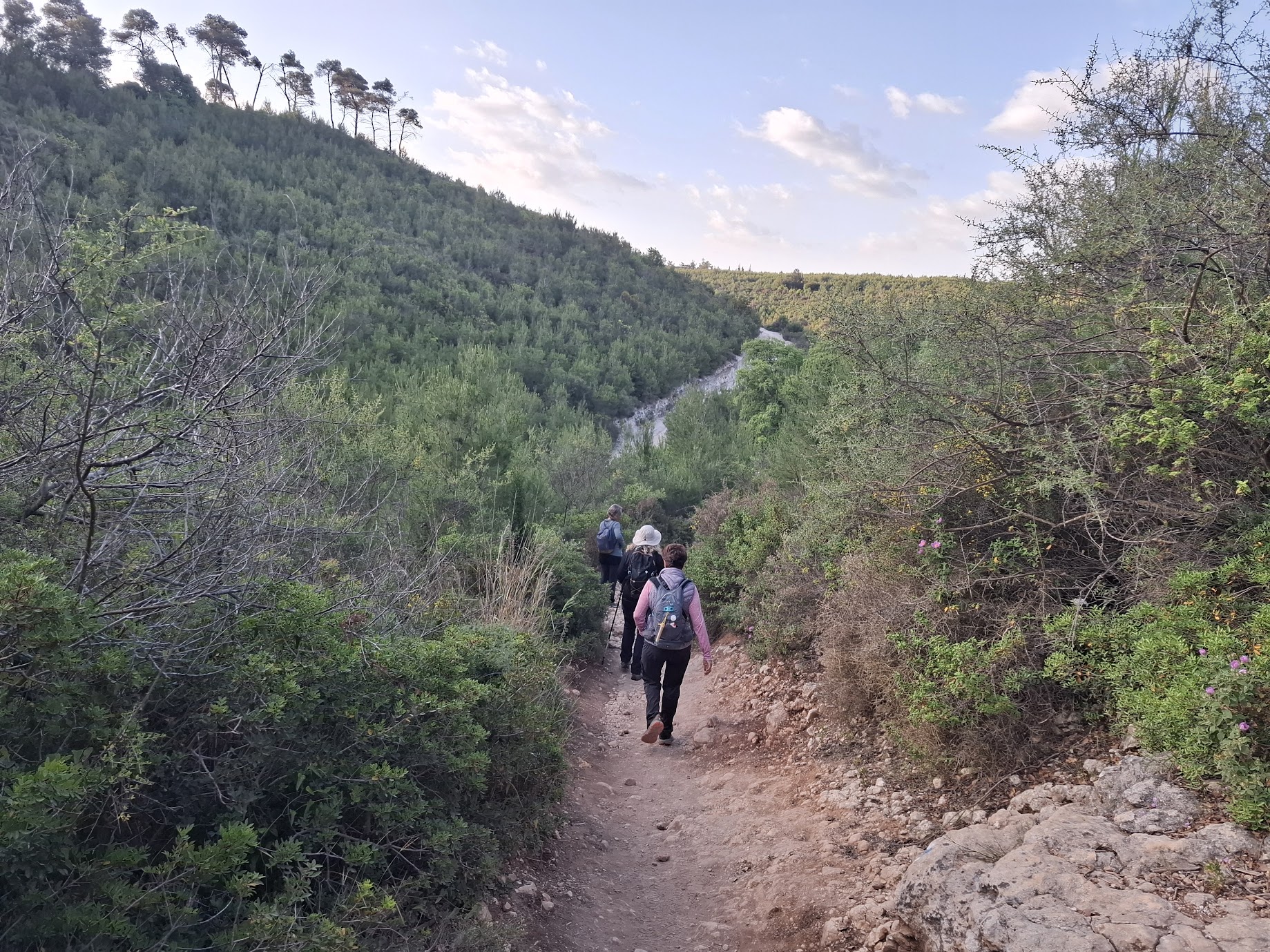
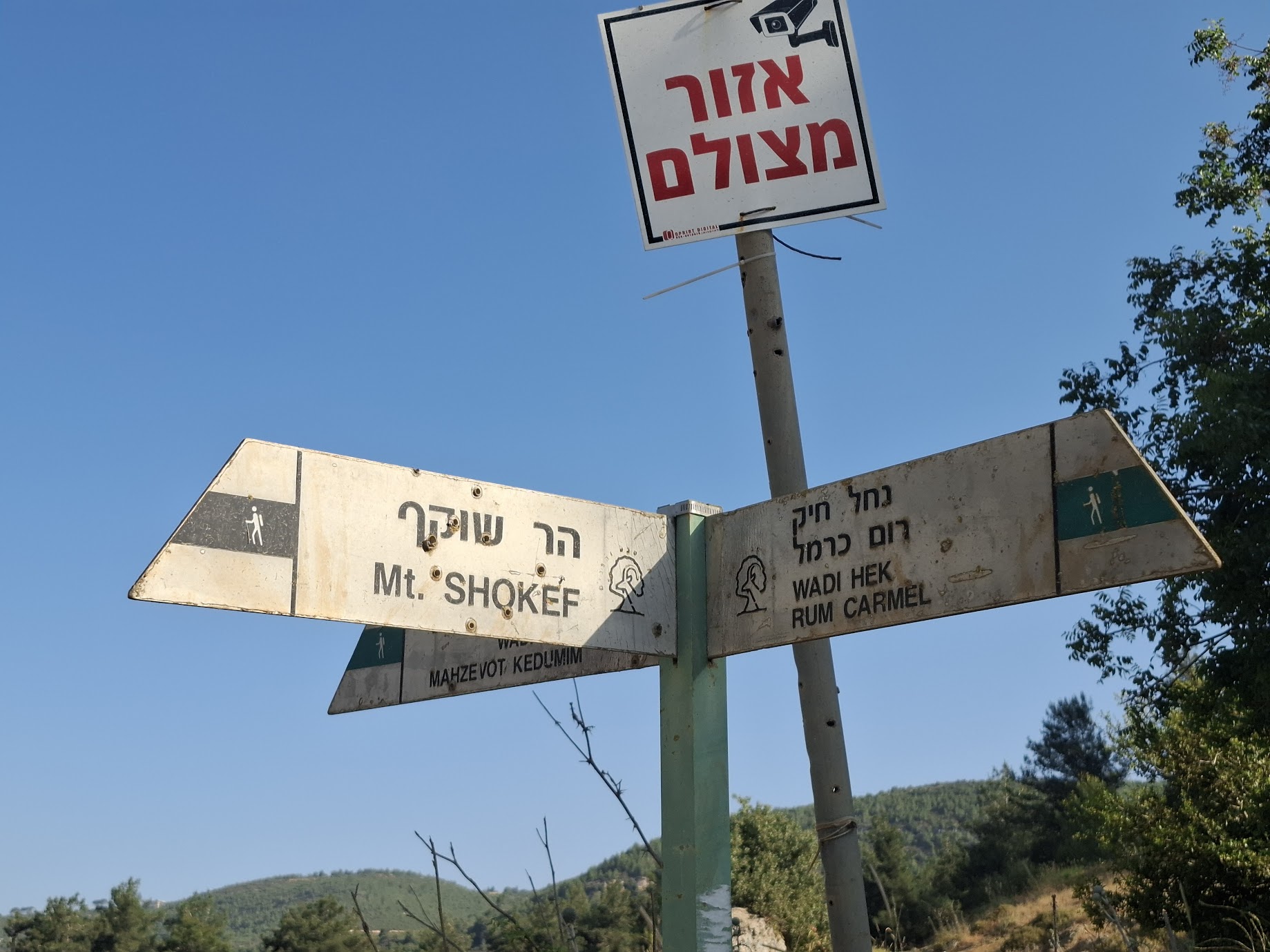
The descent ends at a wide dirt road. Staying with the INT markings, we made a right turn onto the road and a quick left turn, following the signage to Har Shokef. This is an ascent of ~180 meters. It was pretty steep and I found it to be slow going – maybe because I hadn’t hiked in about 2 months?
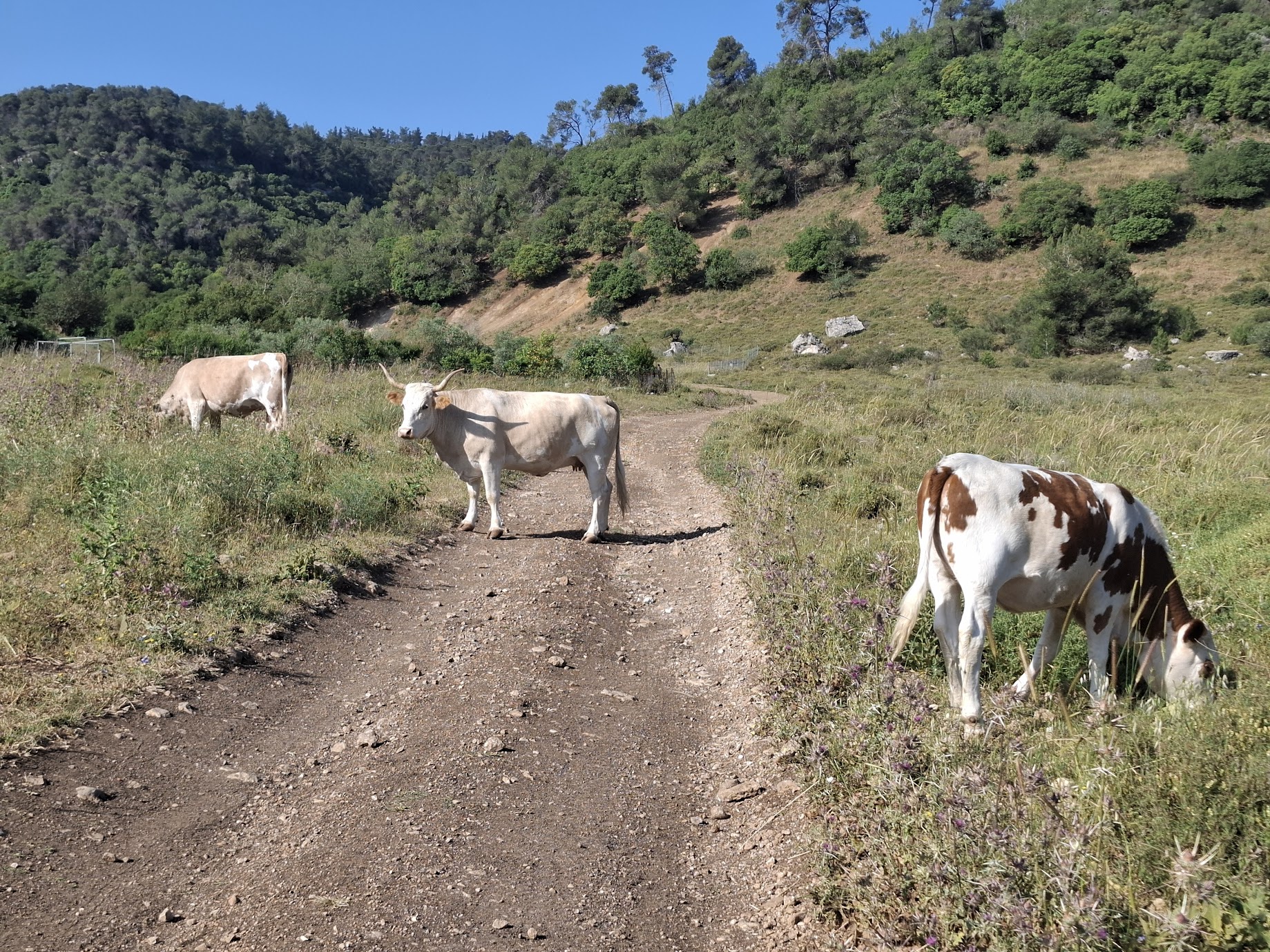
This is most definitely cow country and as we started up the hill, one, at least, looked genuinely surprised to see us.
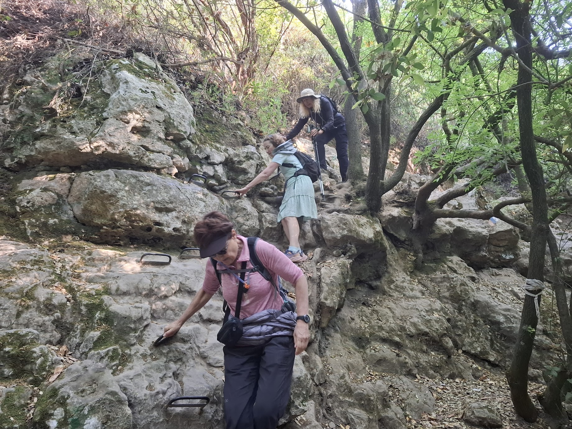
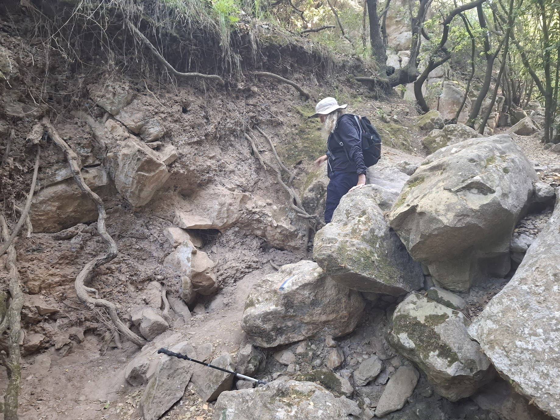
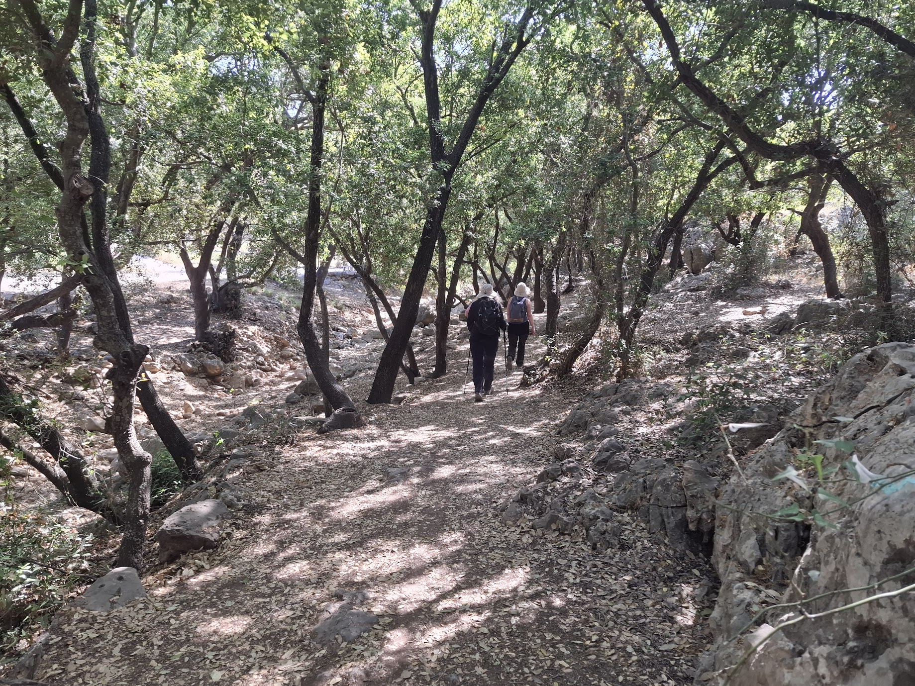
The descent from Har Shokef was mercifully shaded with some boulders to navigate. Fun and beautiful!
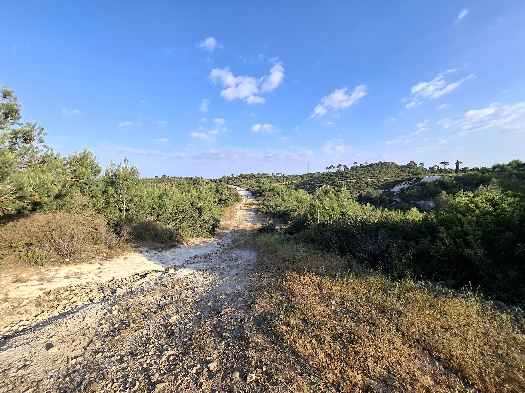
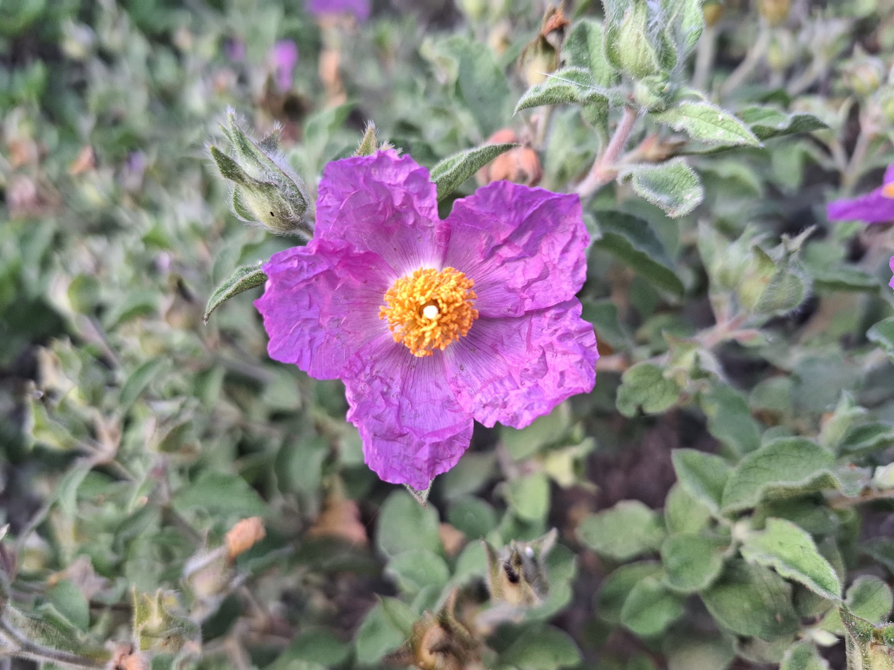
We had a very dry winter, unfortunately, so our flowery, green season was even shorter than usual. Most vegetation is brown and dry now. Even so, a few types of flowers are still blooming.
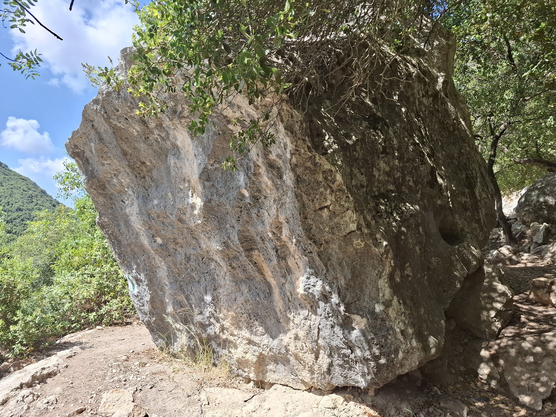
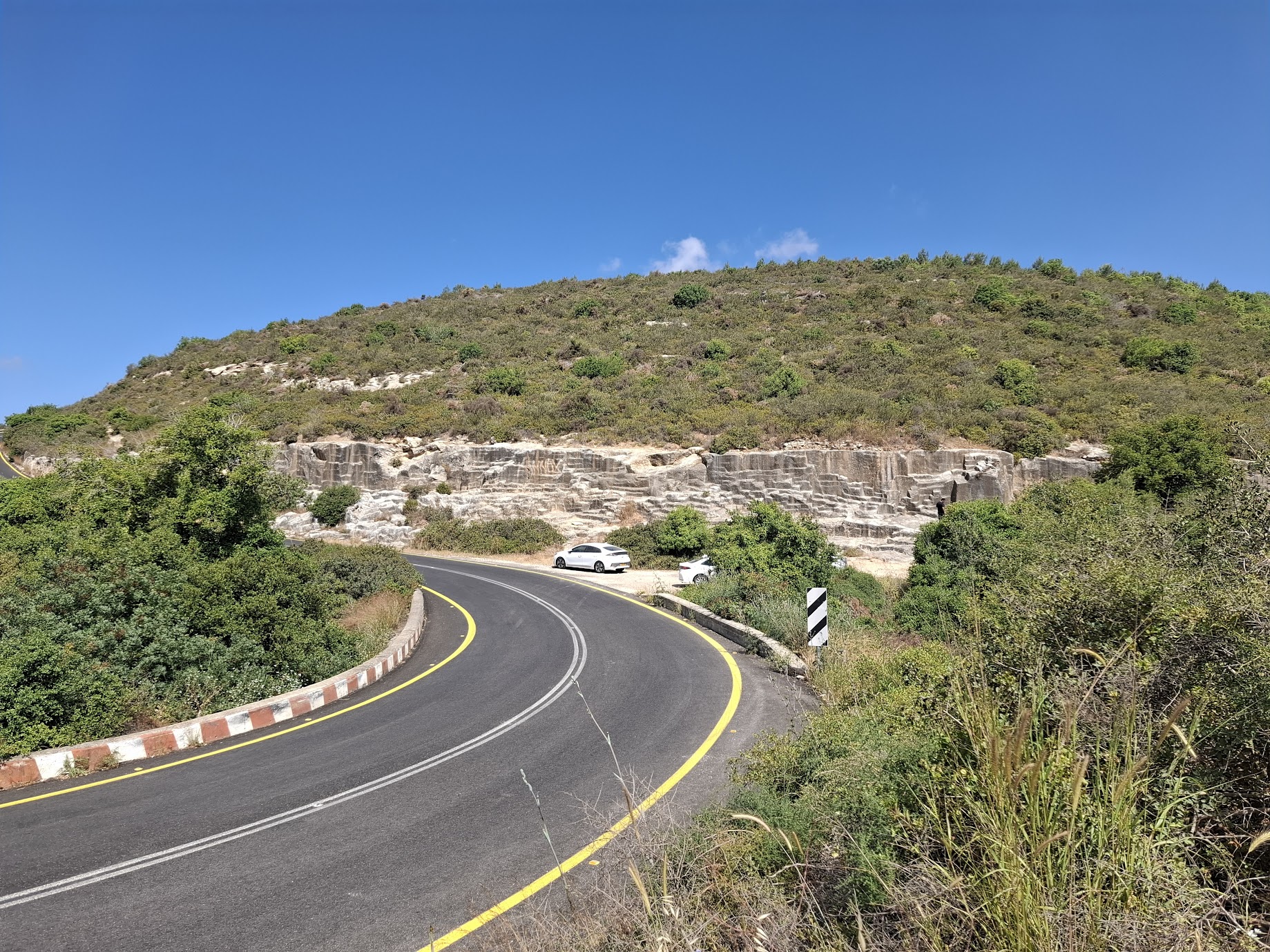
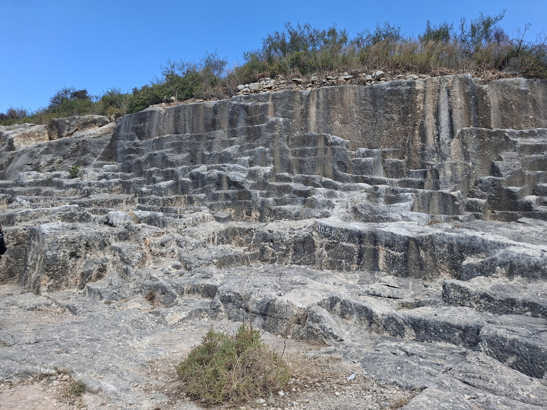
When the trail reaches road 712, there is a right turn onto the black trail which then runs parallel to the road for a while. Along the way, we passed an ancient quarry from the Roman-Byzantine period. The site preserves evidence of ancient quarrying in the form of numerous steps of various sizes and directions. In the area, one can see traces of the quarrymen’s work in the form of shallow diagonal grooves.
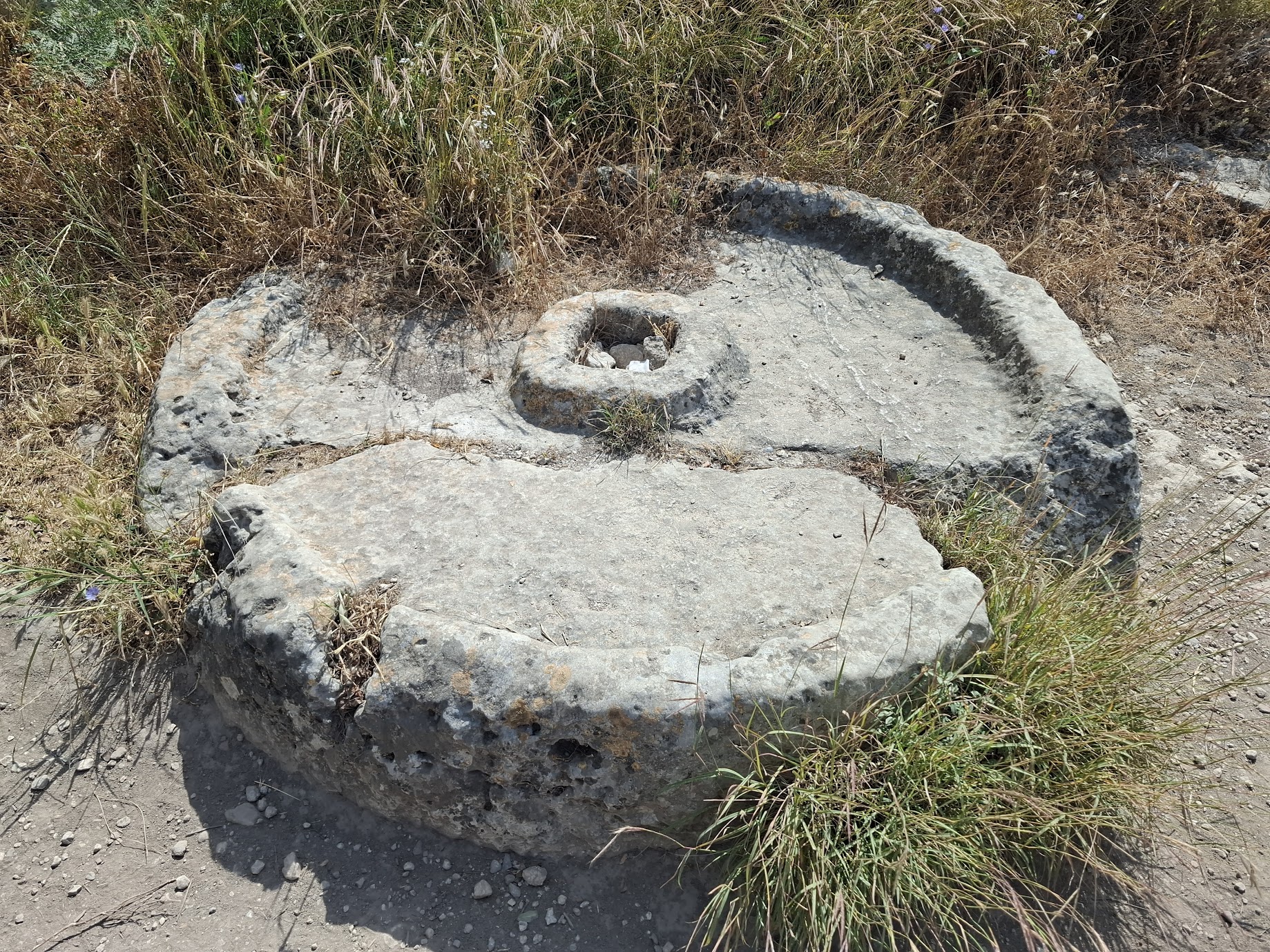
Near the quarries is also part of an ancient olive press known as a yam (“sea”). This is the first stone upon which olives were placed for crushing. The yam is carved into a raised circular platform, 1.8 meters in diameter and 0.5 meters high, with a pronounced rim. In the center of the yam is a protrusion with a square hole.
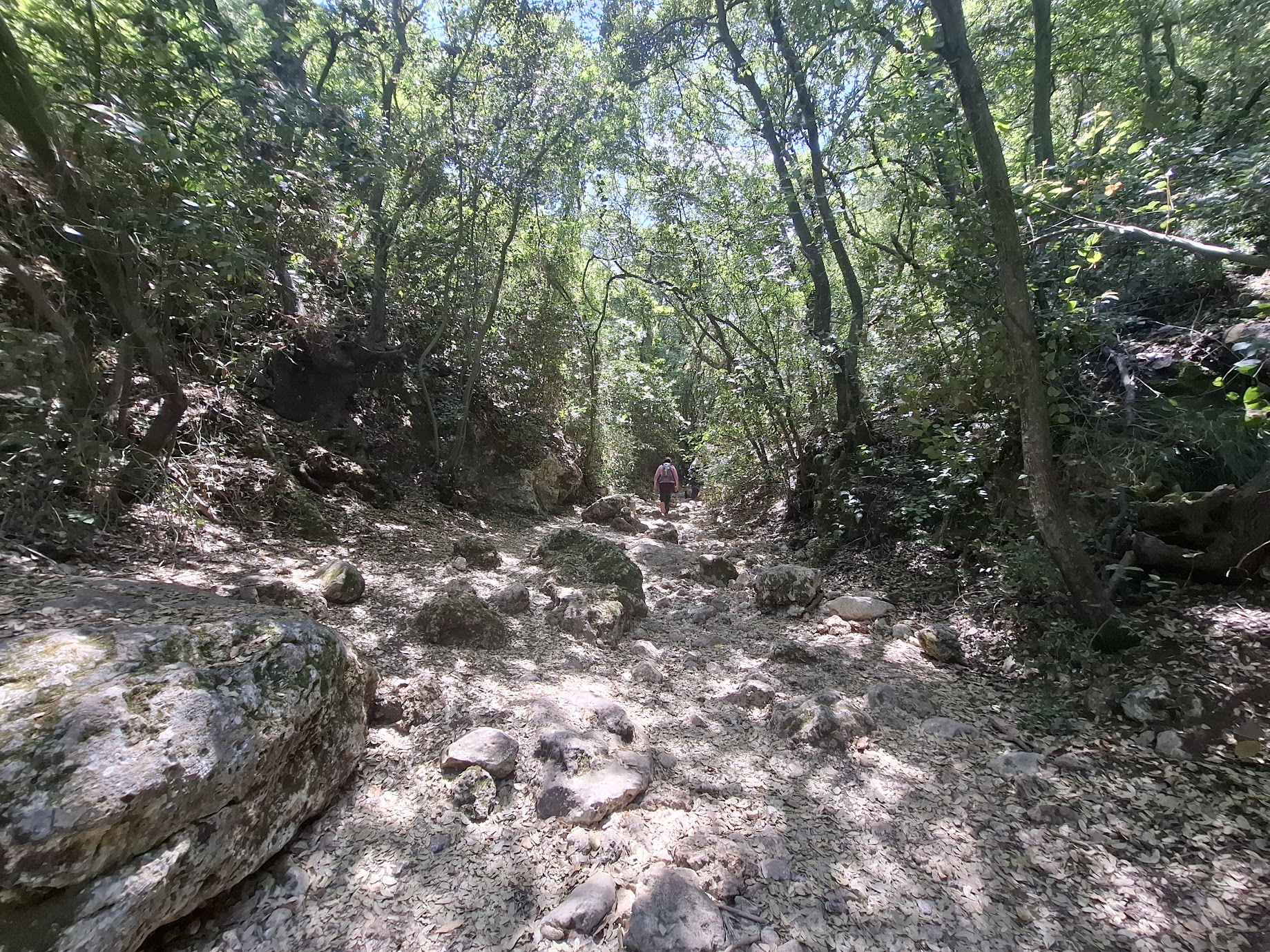
What goes down must go up. The ascent up Nahal Kelach was long but not as steep as Har Shokef and it, too, was mercifully shaded and involved some bouldering.
This was a fun day hike with just enough challenge to keep things interesting.