Route type: A=>B (if hiking in sections, 2 cars preferable)
Difficulty level: Easy
Distance: 13.5 km
Waze to start point:33.241935, 35.656636
Notes:
- A 28 NIS entrance fee is required for the Nahal Snir Nature Reserve which is part of this section.
- Dogs are not allowed in the nature reserve.
- Bring water shoes
- If you are looking for a trail angel to host you in Kibbutz Dan, you can join this Whatsapp group to inquire, however do not ask more than 1 day ahead of time: https://chat.whatsapp.com/ElreDycnCB07S4AWhX7V1m
The INT used to start at Kibbutz Dan in the north but sometime during Covid, for some inexplicable reason, the official start point was moved to Kfar Giladi/Tel Hai just north of Kiryat Shmoneh. This is an important point because most of the INT markings for this 1st “old” section have been removed.
The best way to navigate this reliably is to download the israelhiking app and then open the route via the link provided at the beginning of this post. Alternatively, you can visit the Navigation page to learn how to download the gpx file of the route which allows you to still follow the route while having your phone in airplane mode and thereby saving battery life.
~~~~~~~~~~~~~~~~~~~~~~~~~~~~~~~
Since finishing the INT in February 2022, I have been missing a big hiking project. I mean an E P I C hike!
In the last year I have collected a…..bevy?….a herd?….a gaggle?….whatever….of women who are interested in hiking the INT so I figured why not? It will be fun to refresh my memory and see the trail through my friends’ eyes. Fortunately, I adore both the planning and driving elements of this project so that works out nicely.
I decided “poo ” to those who decided to cancel this first sectioin and that we were going to start at Kibbutz Dan anyway. We were 4 women – 2 from Rehovot and 2 from Rishon. We all had our food and gear packed and took it with us to work on Thursday so that we could set out for the long drive north immediately after work.
Traffic to the north on Thursday evenings is usually a nighmare and this drive from our area can easily take 4 hours. We were lucky this time. We made it to our hike end point in 3 hours, dropped off one car and continued on another 15 minutes to Kibbutz Dan. A Kibbutz Dan trail angel who had responded to my post in the Whatsapp group (see notes) had offered to let us set up 3 small tents on the grass in her backyard.
I roused everyone at 5:00 am in order to pack the camping gear back into the car, eat breakfast and start walking by 6:30 am. Everything ticked along as planned.
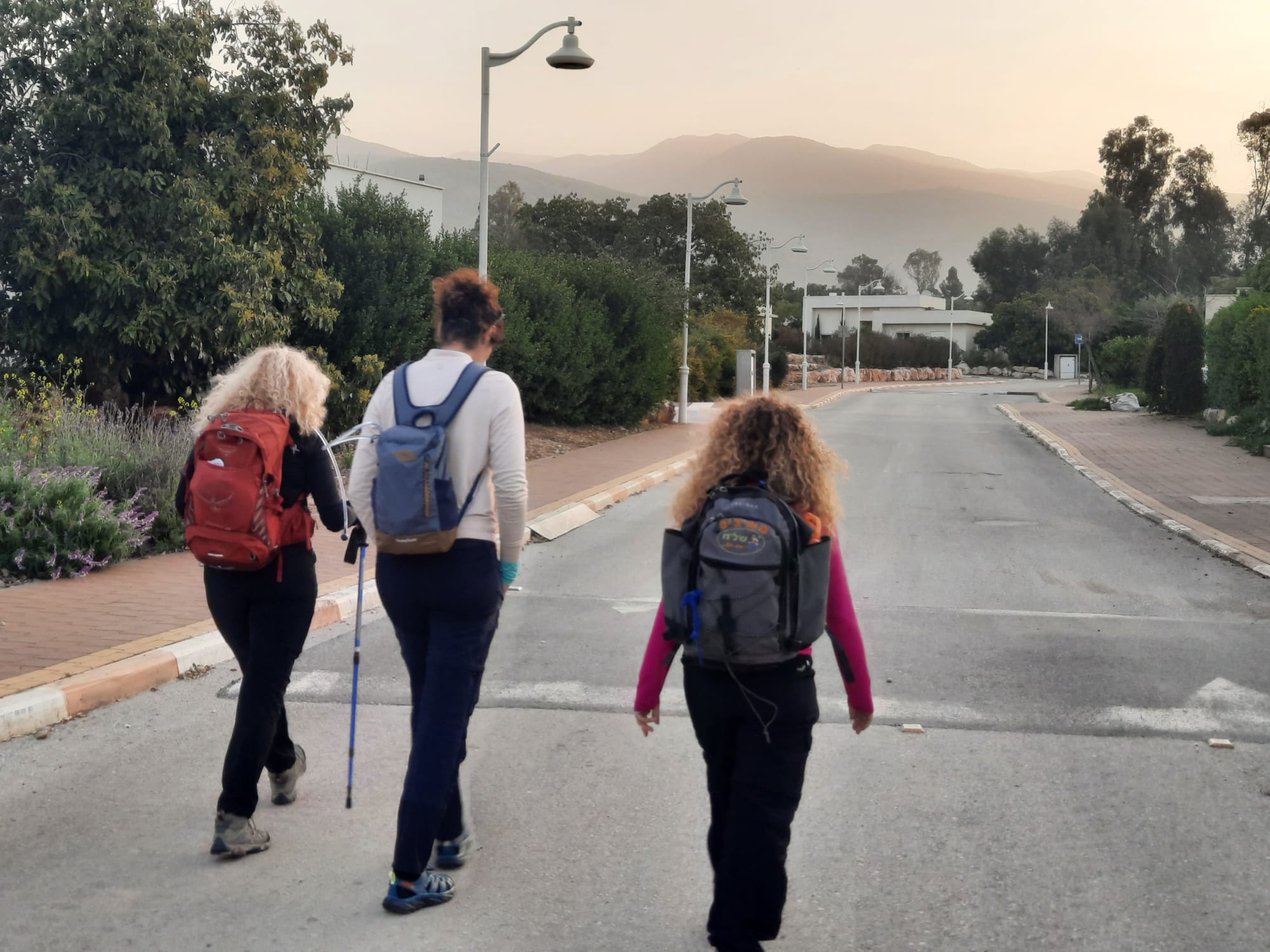
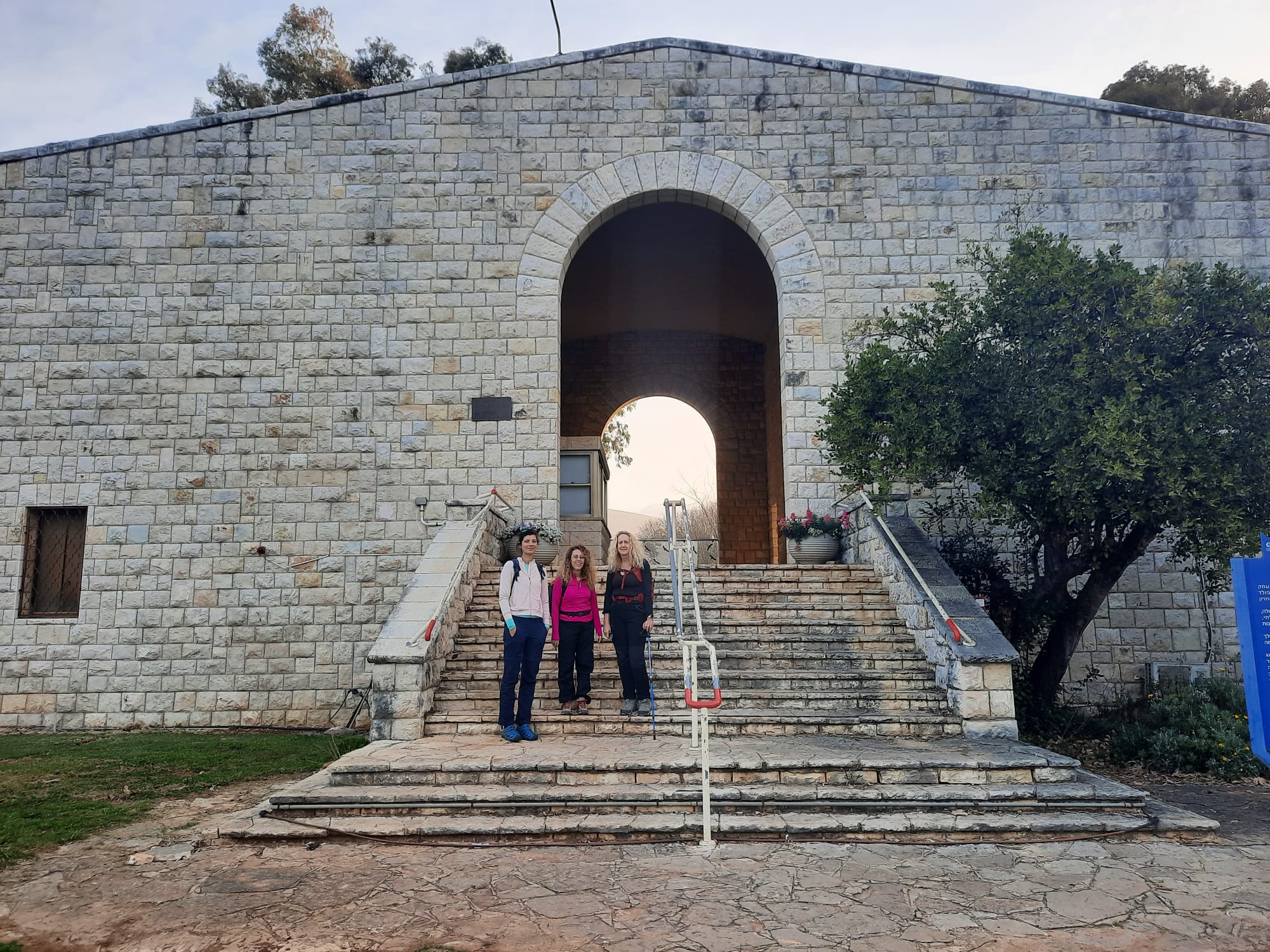
On the grounds of the kibbutz is a small natural history museum called Beit Ussishkin but at 6:30 am it was not open.
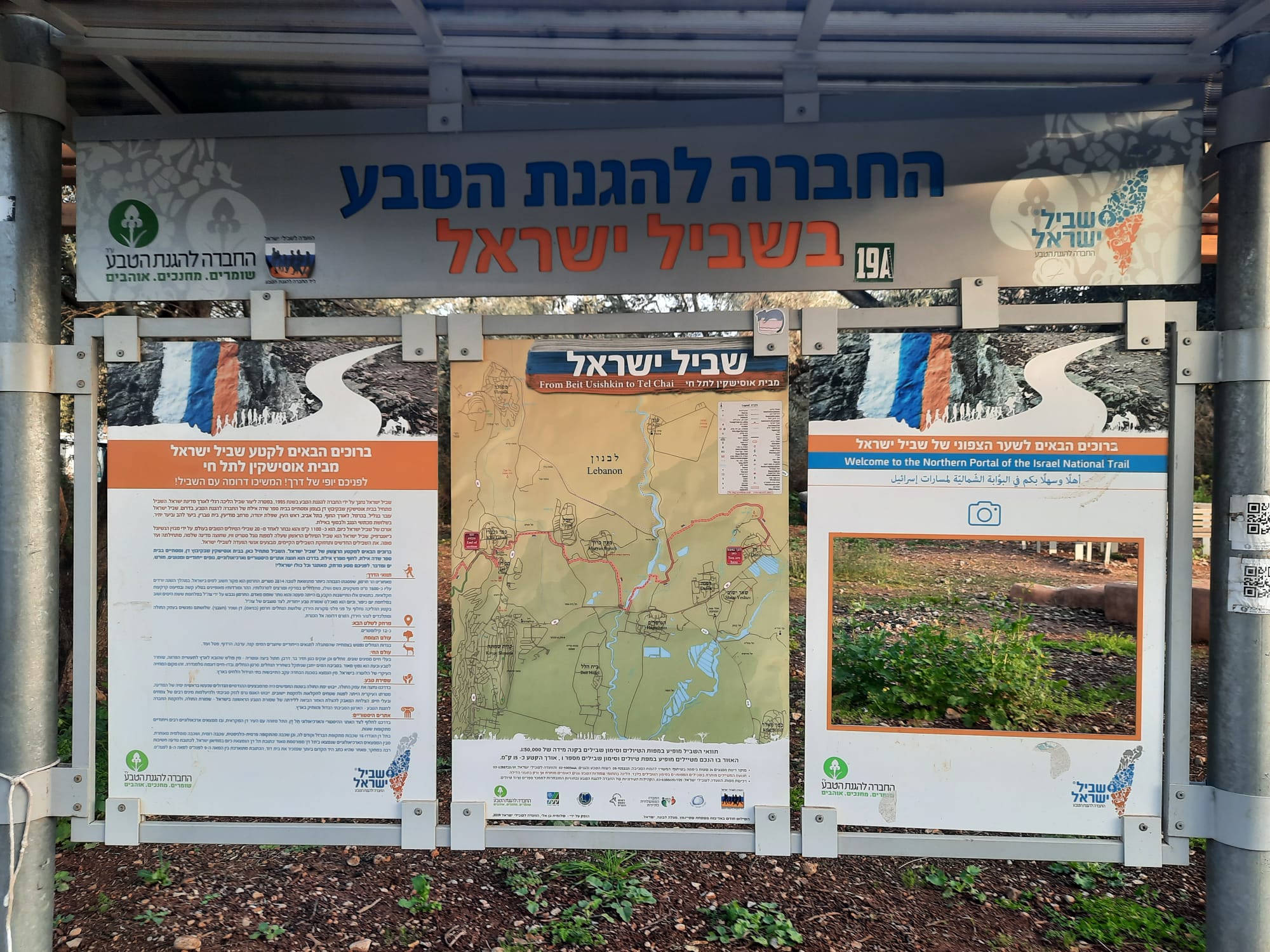
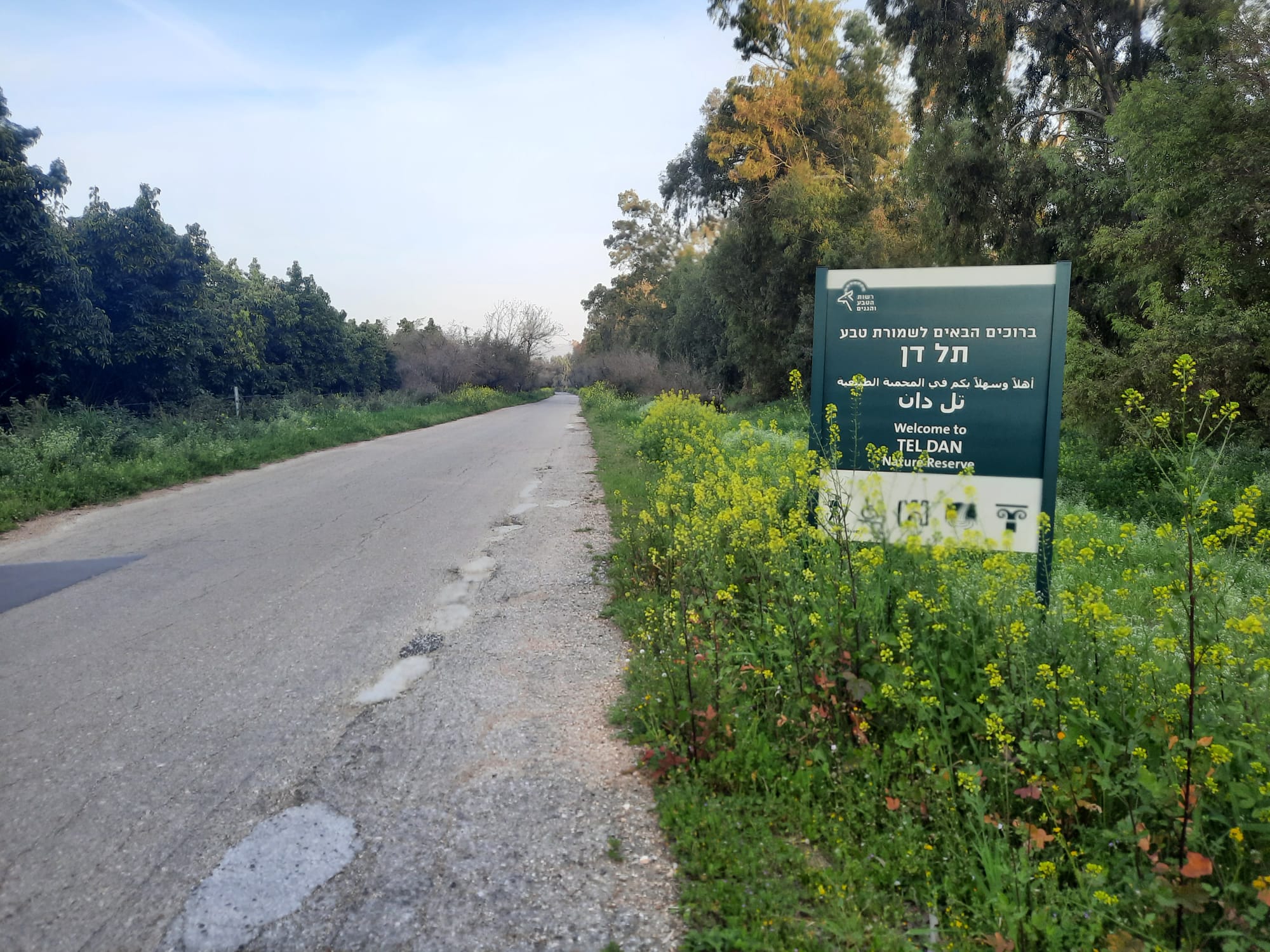
The start of the trail is just behind Beit Ussishkin. This bulletin board with INT maps and info marks the spot.
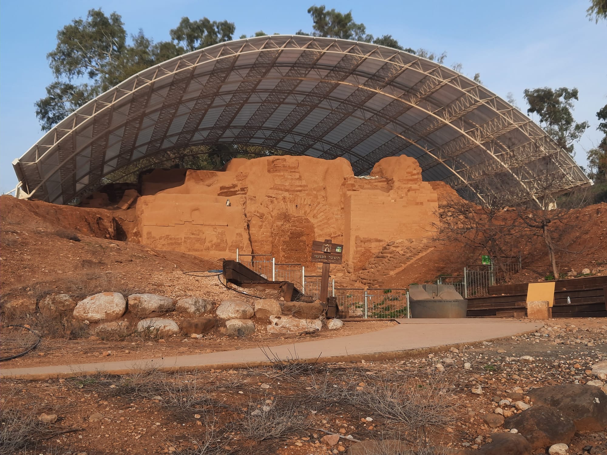
The trail goes out the back gate of the kibbutz where we very quickly discovered a very large, impressive archaelogical dig. Google told us that this wall is called “Abraham’s Gate” and that it is the earliest preserved monumental arched structure in the world. The bricks used to make this wall are from the Middle Bronze Age (1700 BC). You can read more about it here.
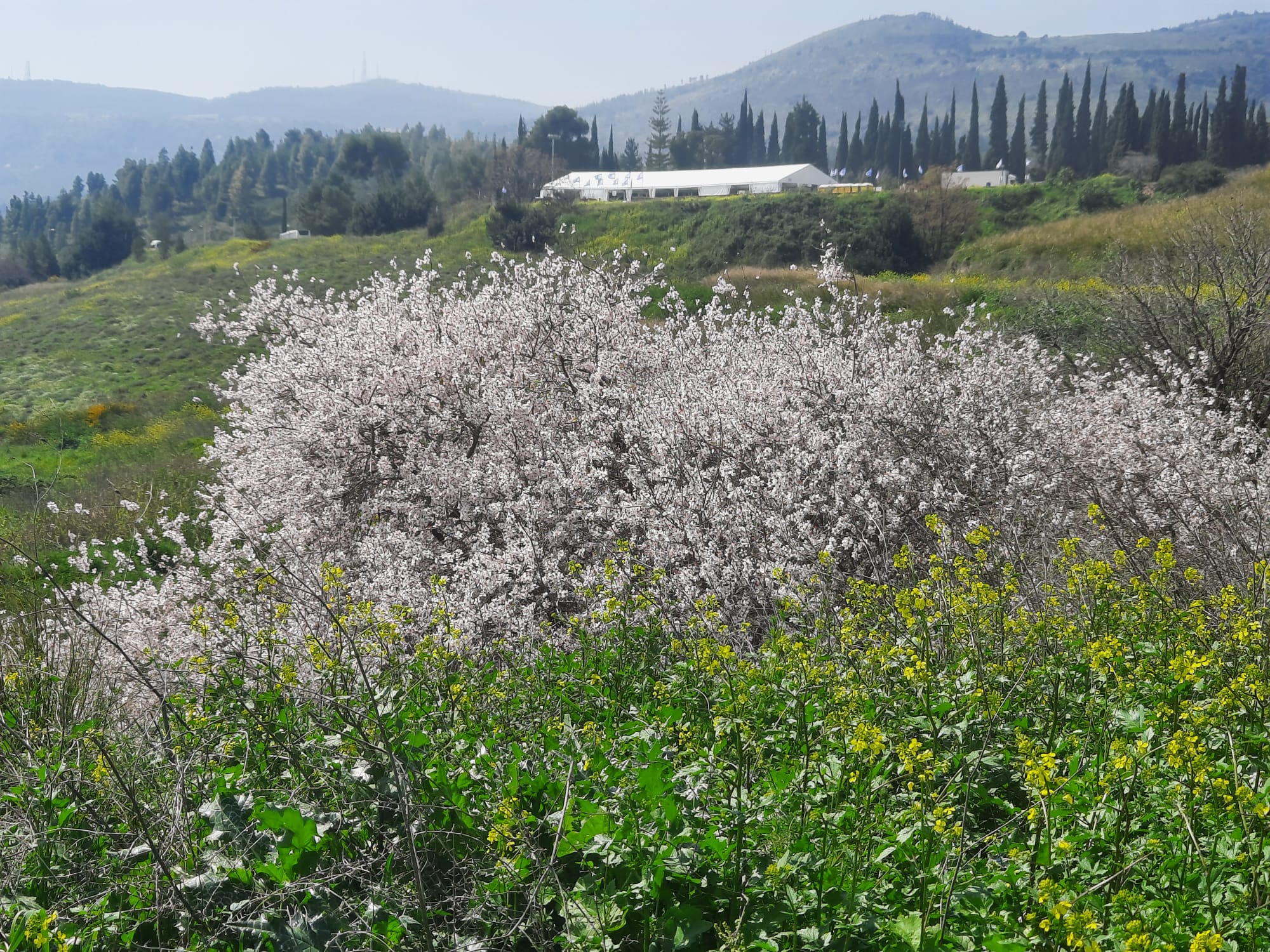
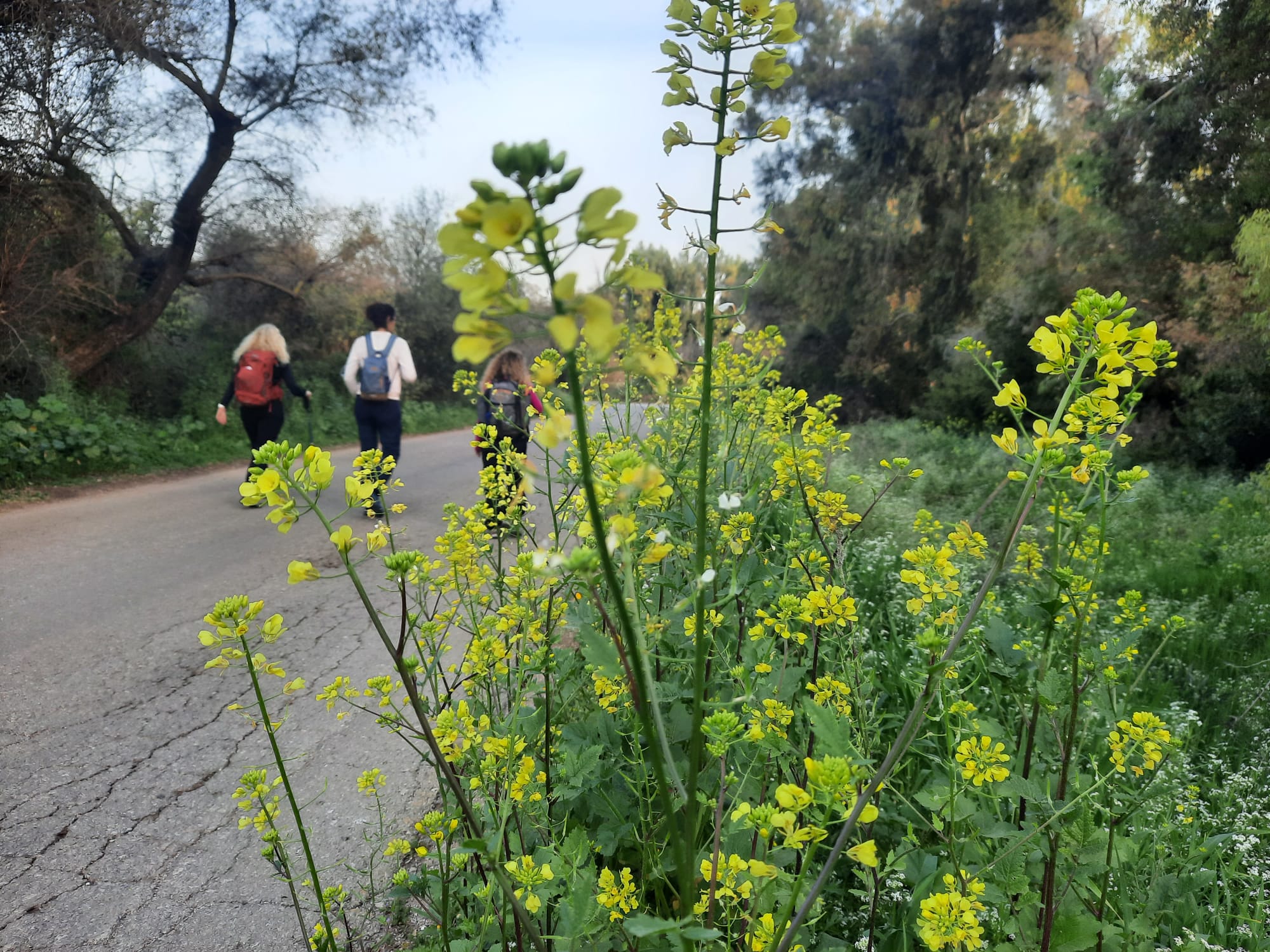
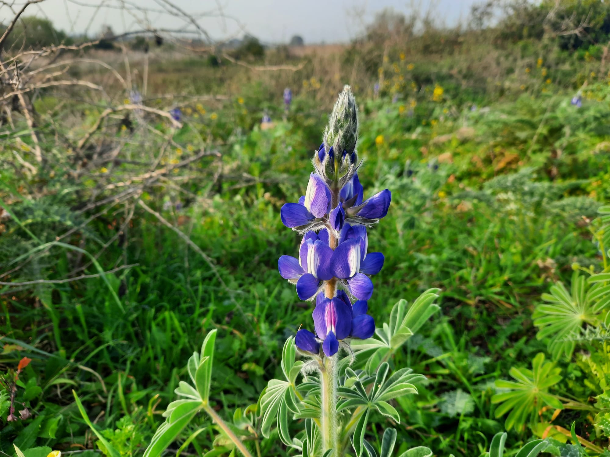
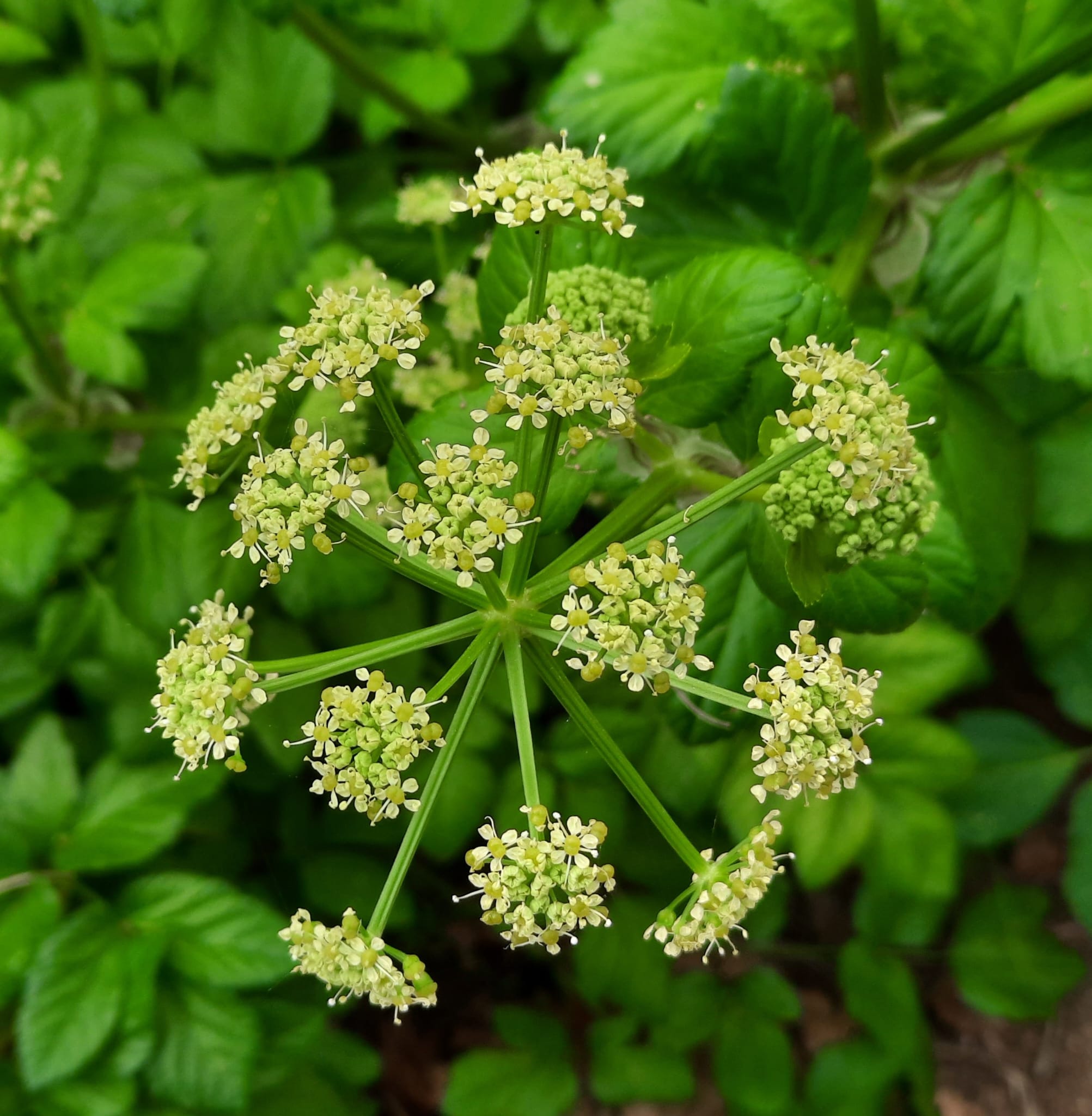
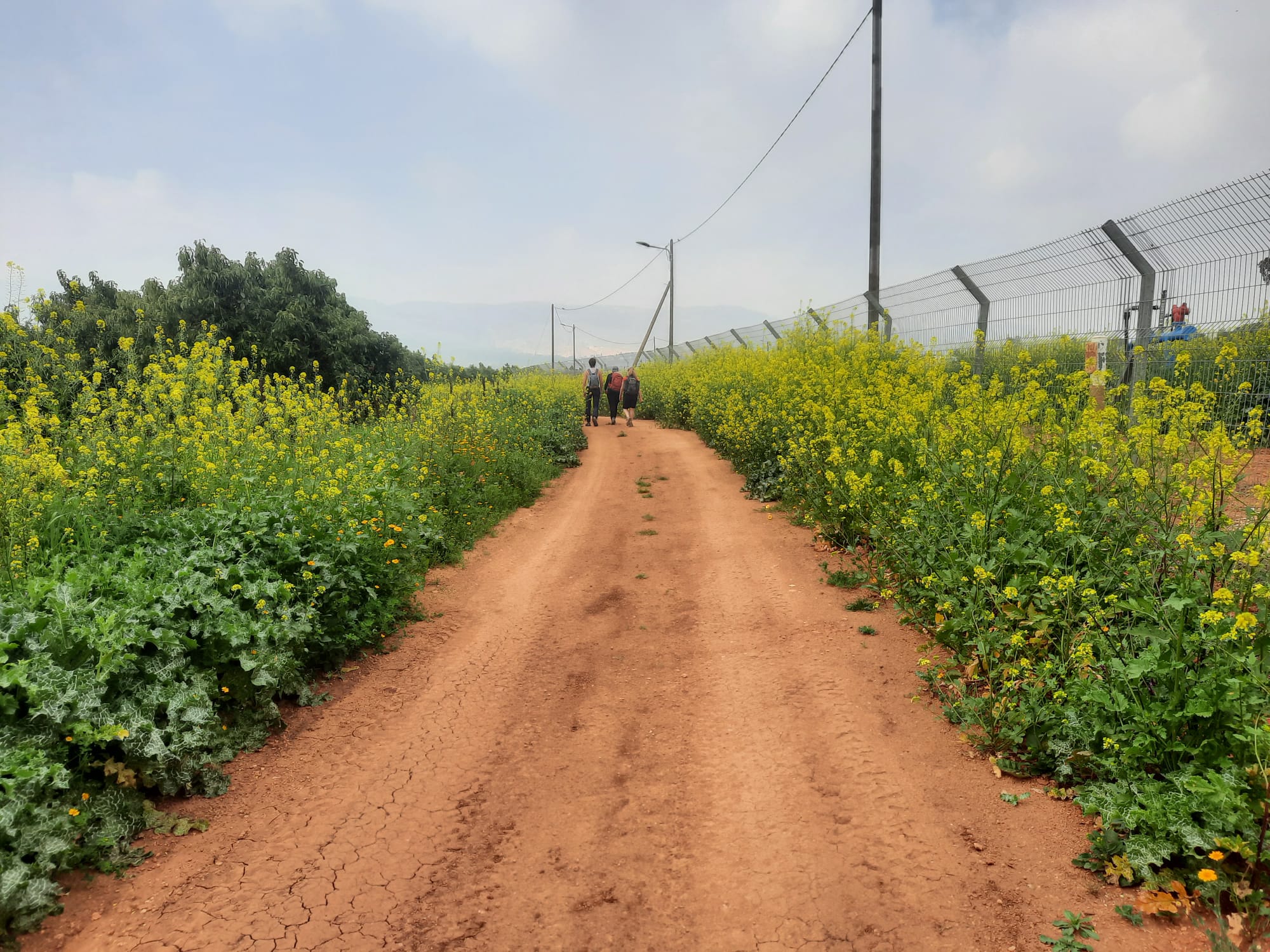
Carrying on past Abraham’s Gate, we were immediately immersed in a sea of greenery and blooms everywhere!
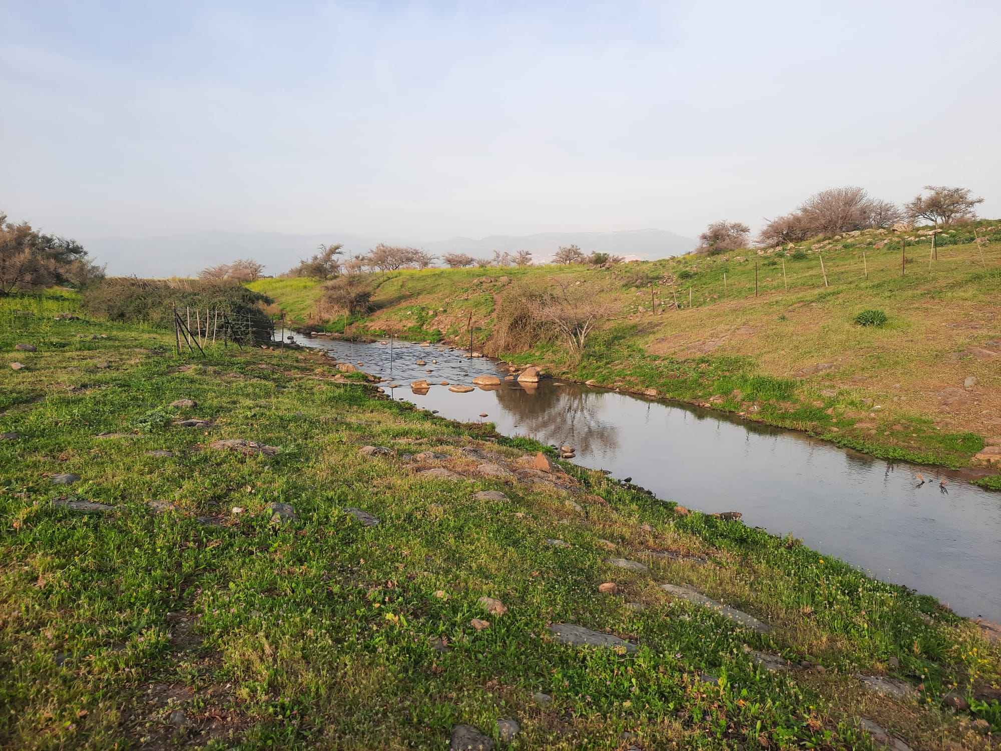
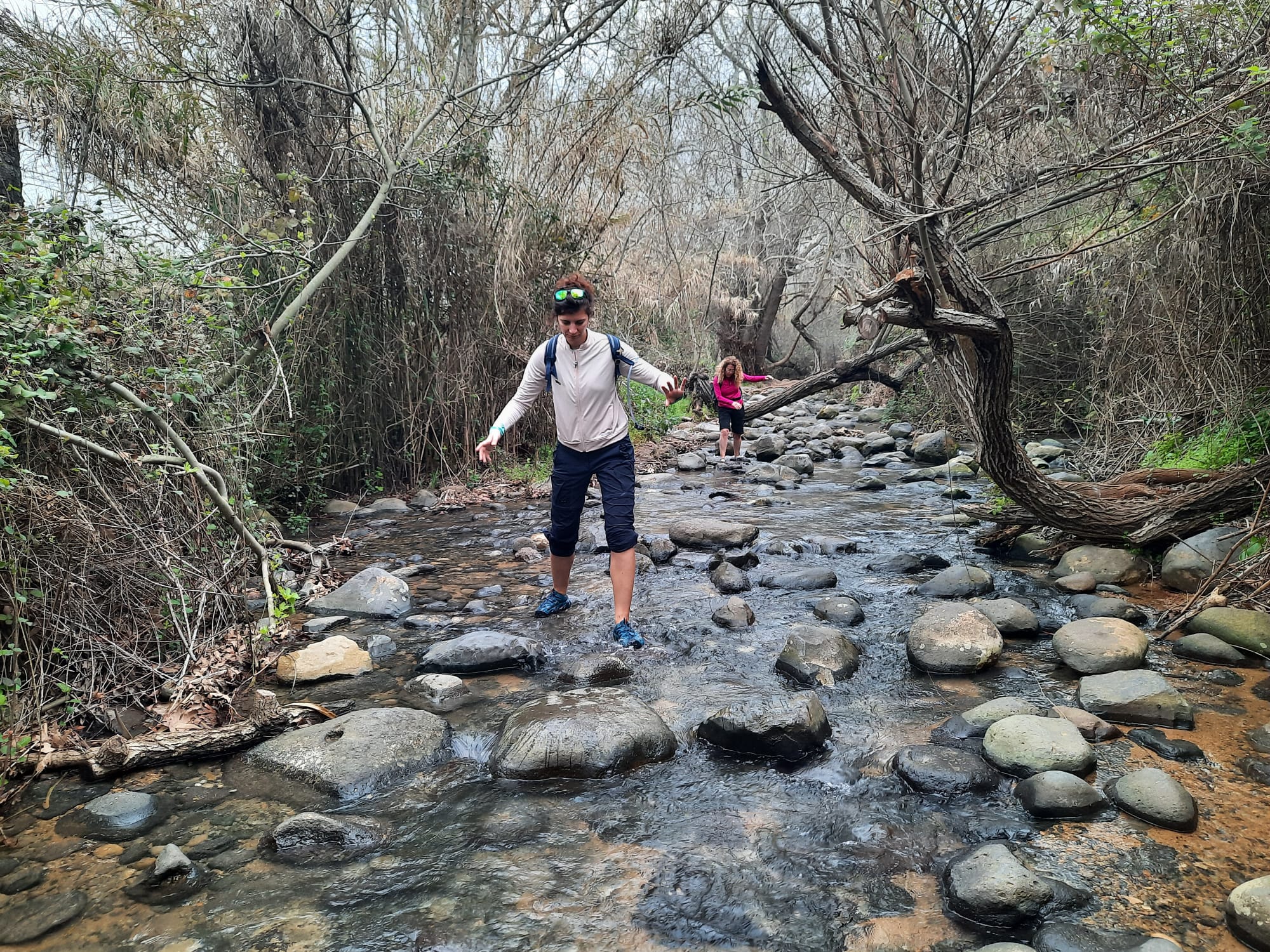
Nahal Dan had to be crossed a couple of times pretty early in the day. Those water shoes came in handy!
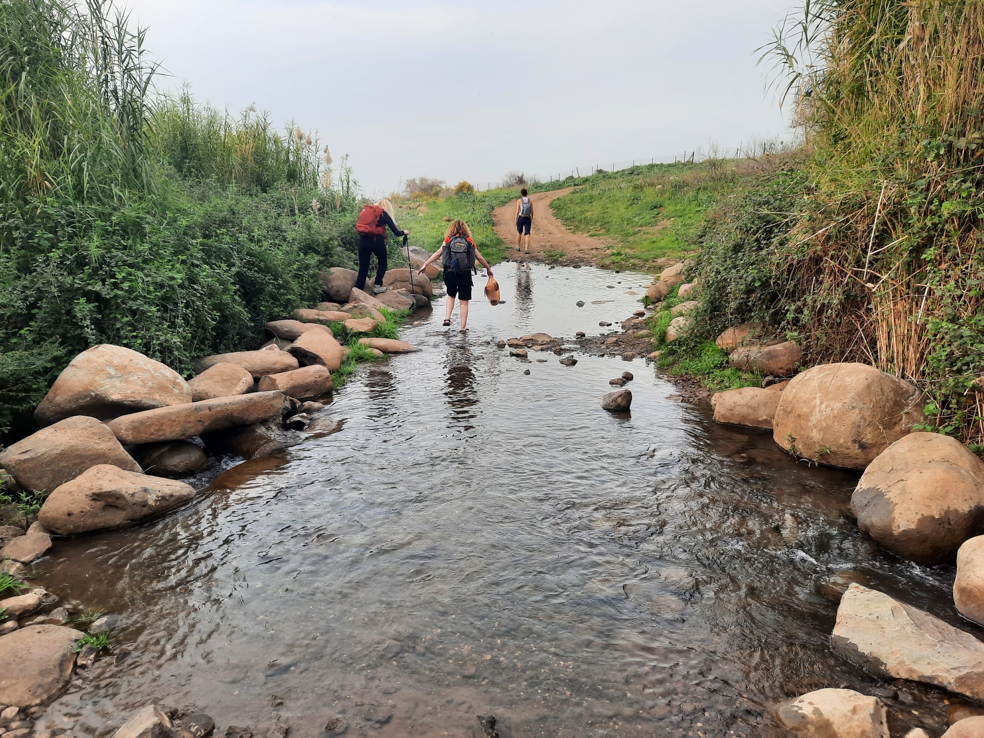
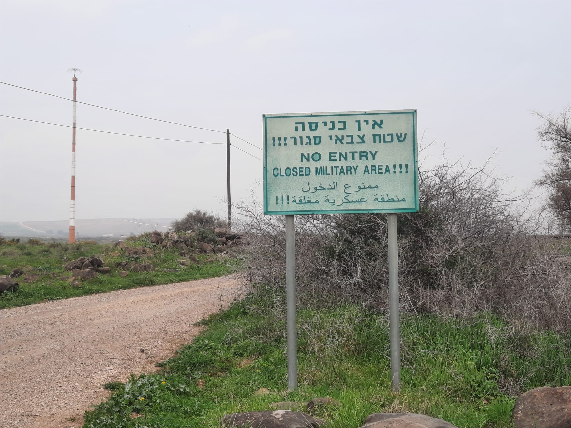
The terrain for the first half of this hike was releatively flat. At one point, over in the field on our right, there was this almighty BANG accompanied by a plume of black smoke. It was followed about 2 minutes later by another BANG that made us jump out of our skins.
Of course we were all wondering if it was coming over the fence from Lebanon – after all, the border was RIGHT THERE – and hoping and praying it was the army doing target practice that they knew how to be accurate about it.
We carried on and soon saw a sign announcing NO ENTRY due to it being an army firing zone.
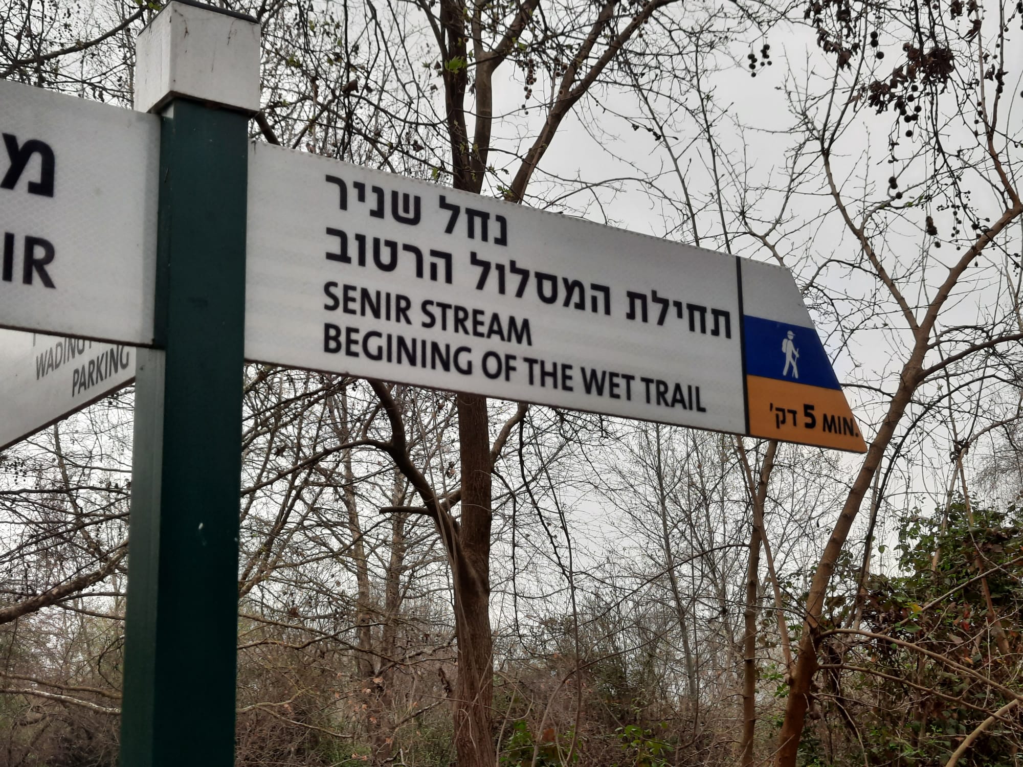
The Nahal Snir Nature Reserve is reached at the 5.5 km point of the day and it doesn’t open until 8:00. We arrived at 8:15. We paid our 28 NIS entrance fee and walked into paradise.
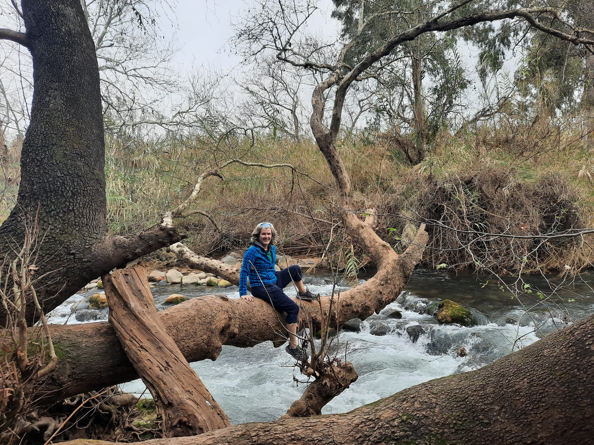
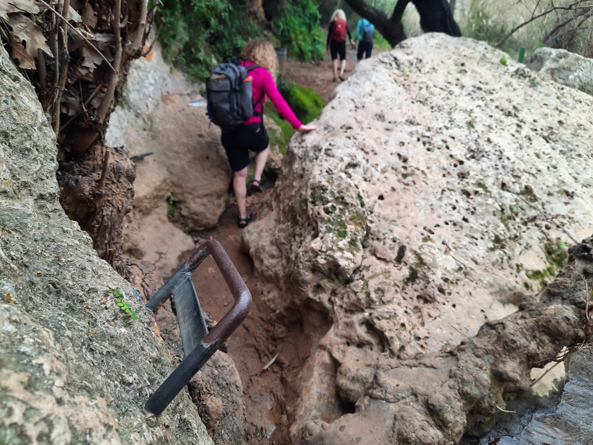
Nahal Snir is one of the most popular creek walks in the country. When my kids were younger we did it numerous times. It’s a stunning, magical place and worth the drive to the north.
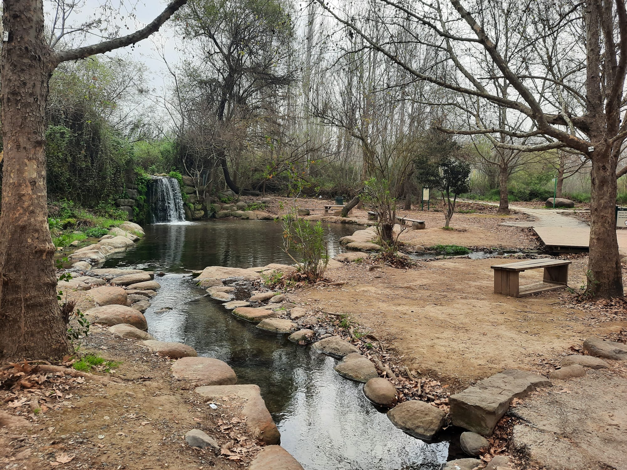
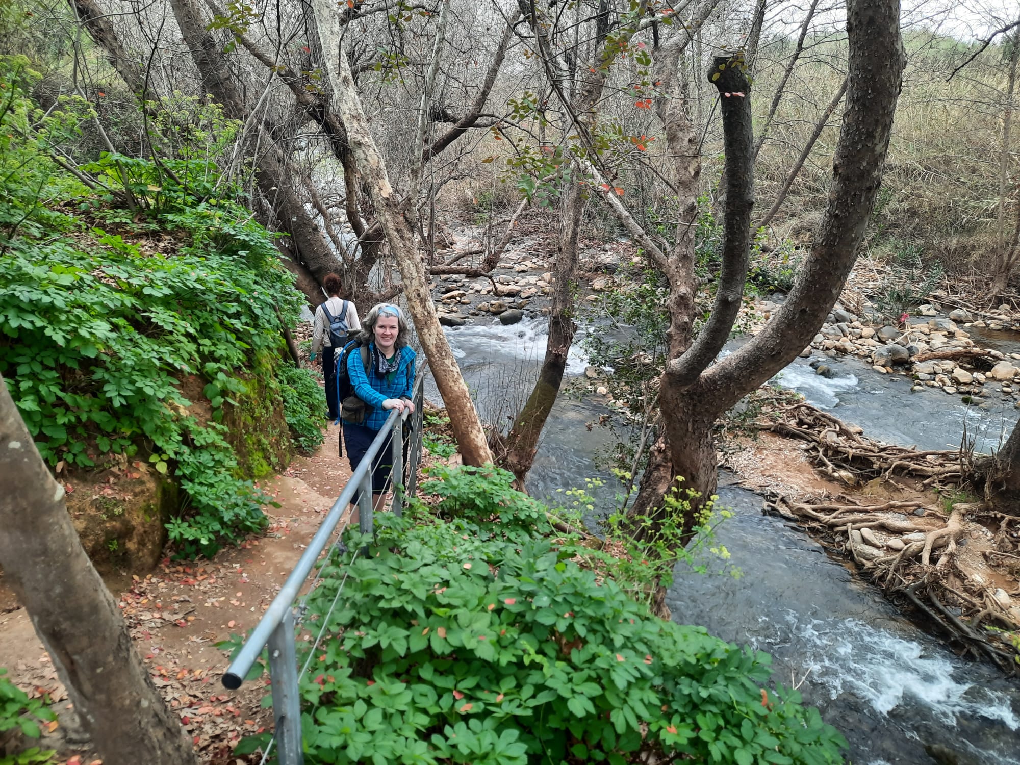

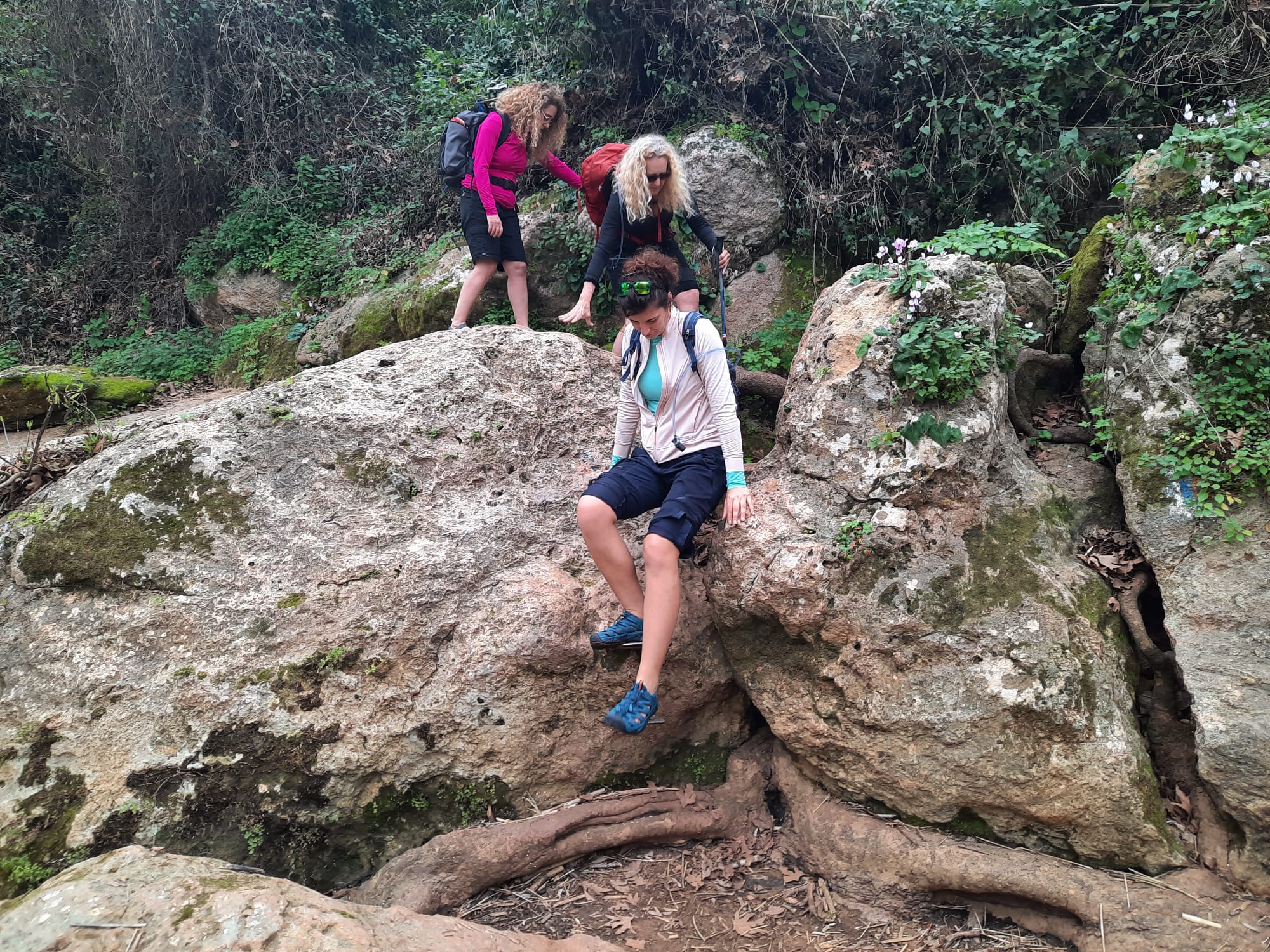
There are a few places along the creek where handholds are provided.
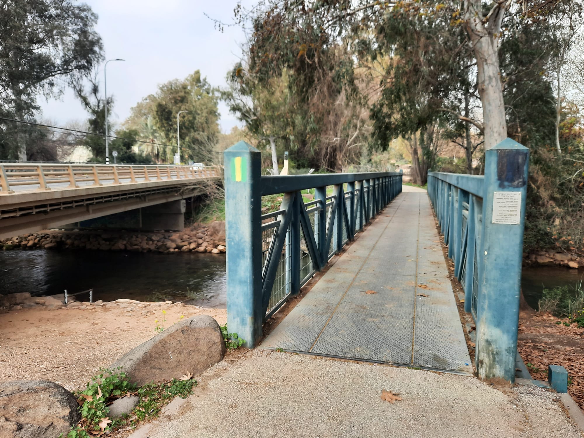
At the end of the creek, the path leads you away from the water, along a dry path for a short distance, through a turnstile and out to highway 99. Turn right and cross the bridge.
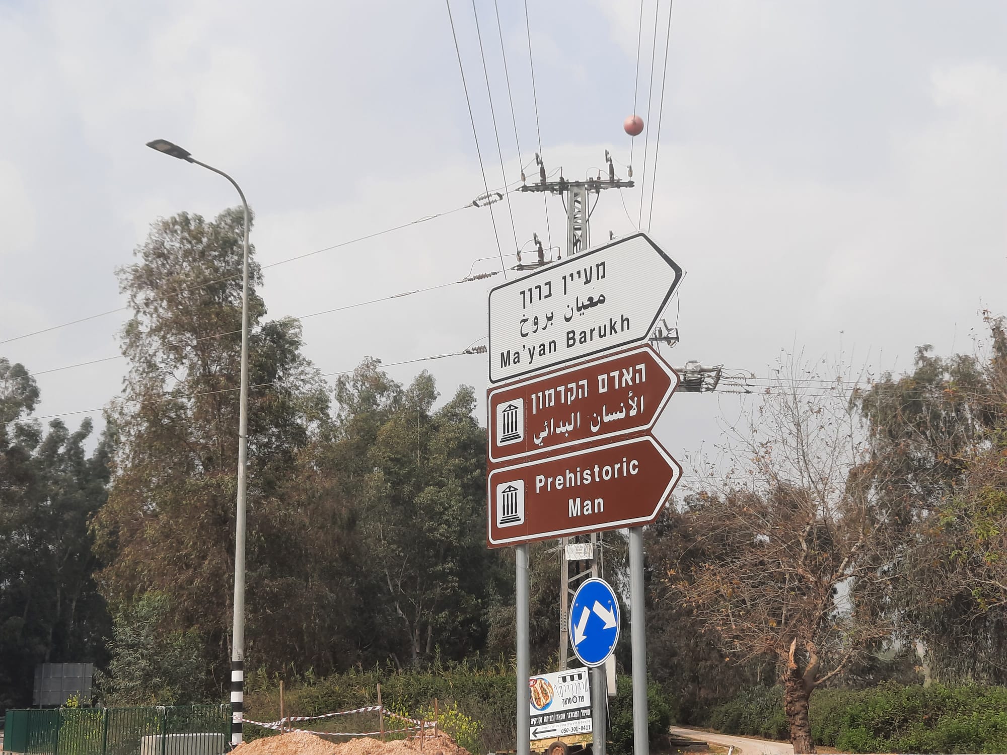
After crossing the bridge you will make another right where there is a signpost for Kibbutz Maayan Baruch. There is a long walk up the paved road that leads to the kibbutz. The red and white roses lining the road helped make it less boring as did the noisy clouds of massive migratory birds that wheeled far above us.
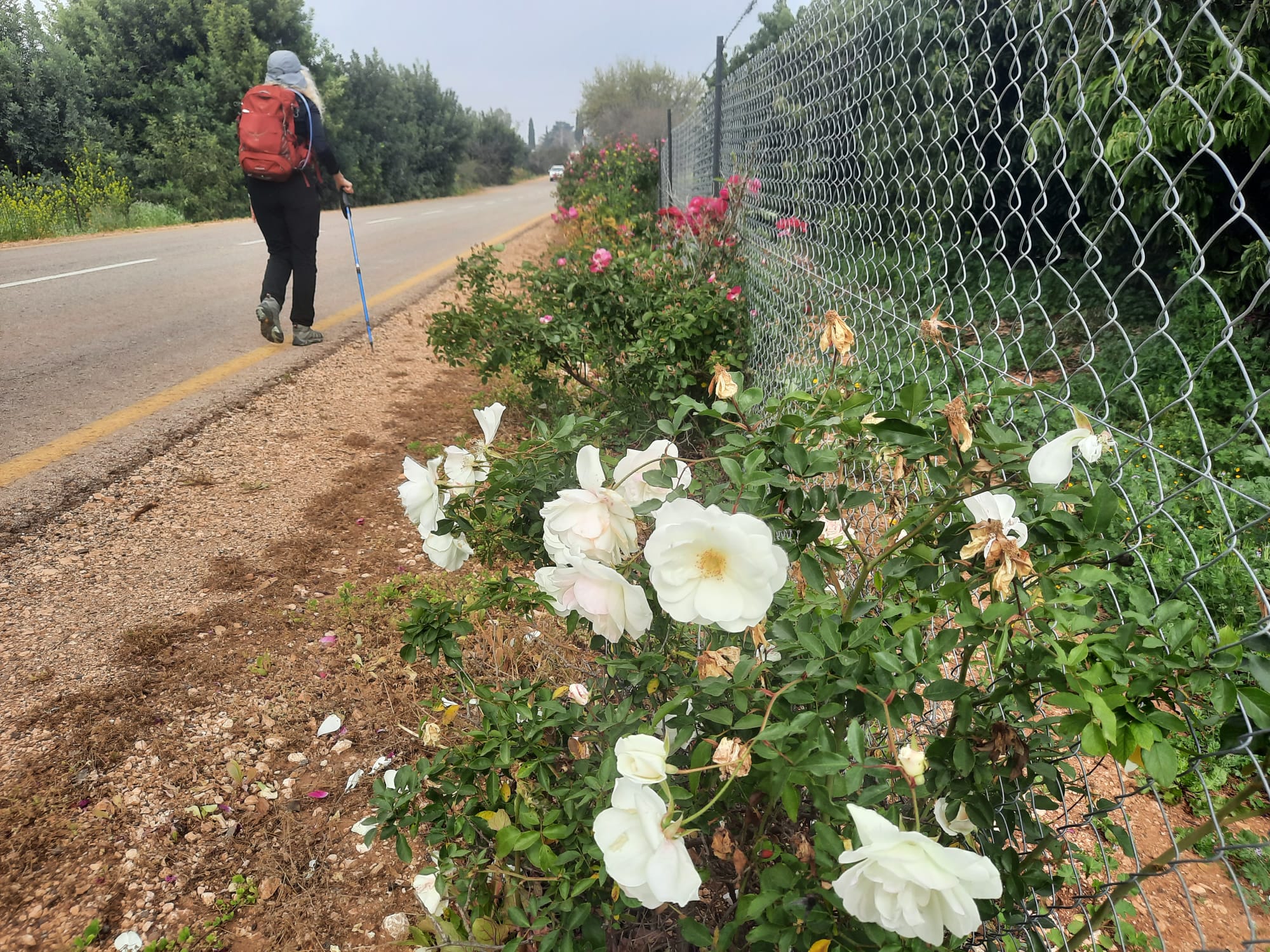
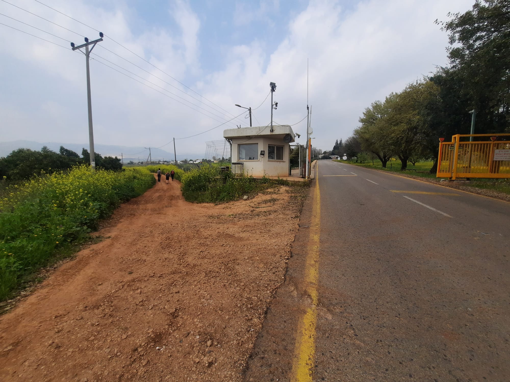
At the entrance (yellow gate) of the kibbutz, there is a guard hut. Make a left immediately before the guard hut. Do not enter the kibbutz. The path hugs the outside of the kibbutz fence for a while.
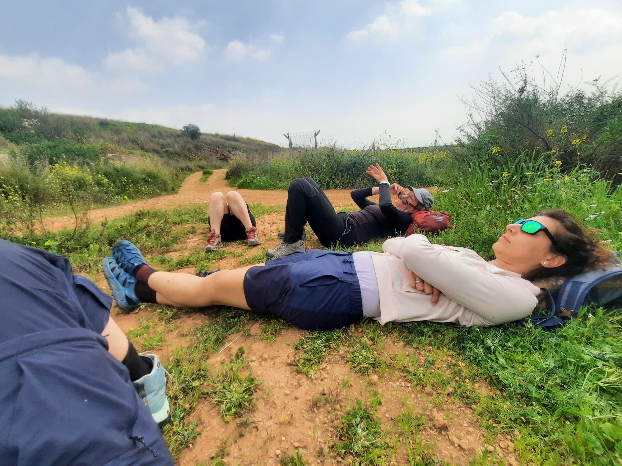
Along about the 10 km point we all started to drag a bit so we found a grassy patch just to the side of the path, had some dried fruit and then sprawled every which-way, enjoying the sun and the silence. If anyone had come upon us just then, they would have thought a massacre had just occurred LOL.
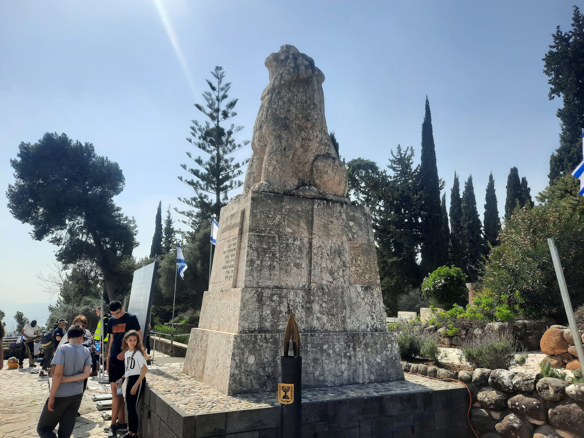
Eventually we saw, beyond the blooming almond tree, the flying flags that marked the Roaring Lion Monument at Tel Hai and the cemetery where those who died in Tel Hai’s defence are buried.
You can read more about the story of Tel Hai here.
At the Roaring Lion Monument we picked up the car we had left here the night before. This location will be our start point for INT Section 2.