NEW FEATURE! Route in 3D!
Route type: circular
Difficulty level: Moderate (ascent isn’t difficult, just a tad long)
Distance: 8 km
Waze to start point: 31.684975, 34.970602
Notes:
- The start point is a small “alcove” at the side of road 3866 and it’s easy to miss. There is room for maybe 7-8 cars here and it’s a popular hike so best to get there early to find parking as well as to beat the heat.
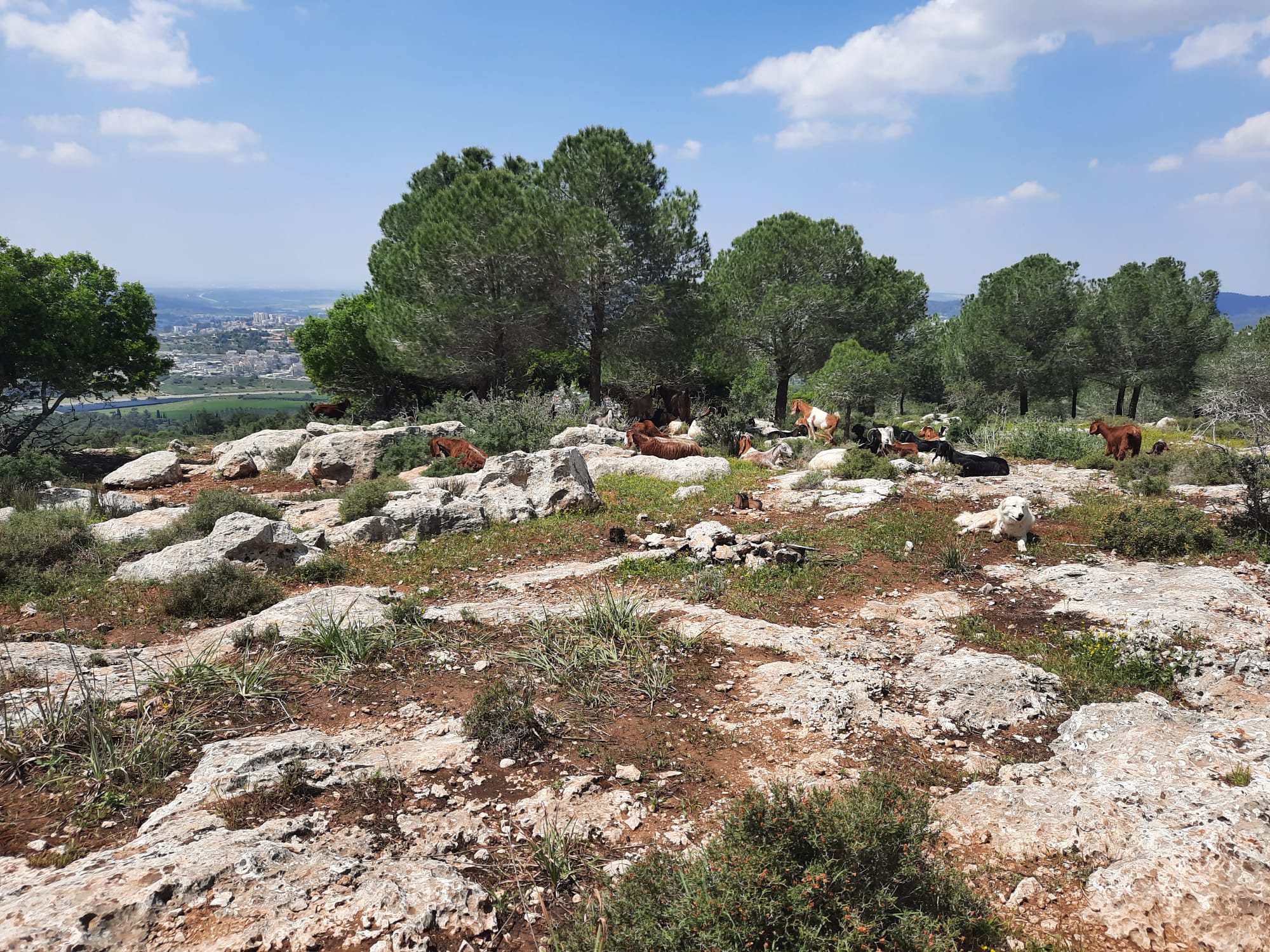
- Good for dogs BUT we encounters flocks of goats/sheep and guard dogs so keep dogs leashed!
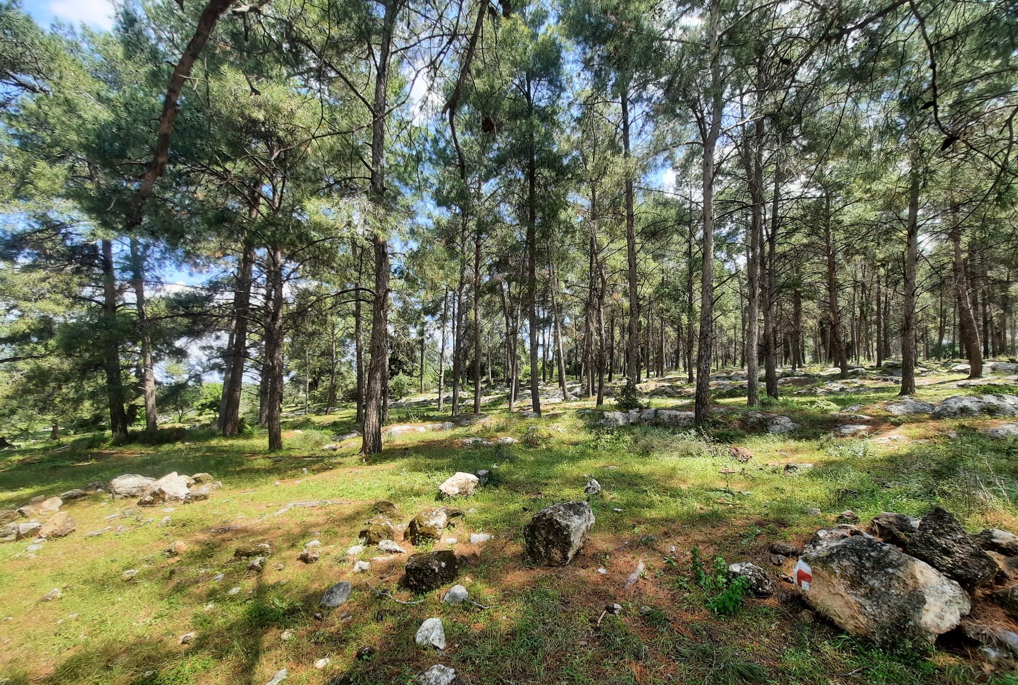
- Partial shade
- Down on the black trail, back up on the red.
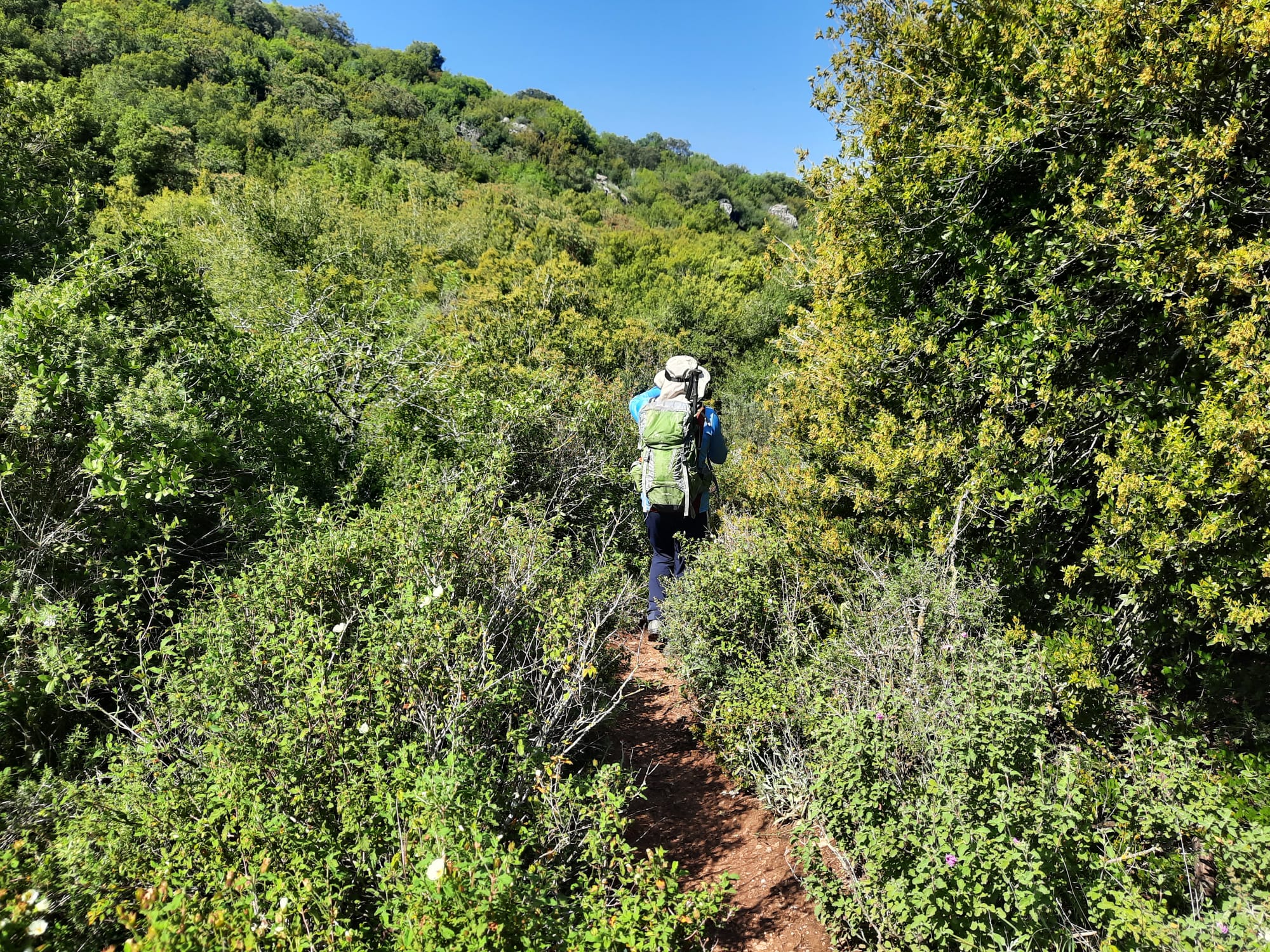
- Recommend wearing long pants and sleeves to protect from getting scratched by thorny trees and bushes.
Having once again, last minute, had to cancel our INT plans due to bad weather up north, my friend and I did a thing. We joined another hiking group this week. I know. Shocking! I thought it would be nice to meet other like-minded people and let someone else put all the logistics together for a change. We were a fairly large group of 17 people, some came from quite some distance away.
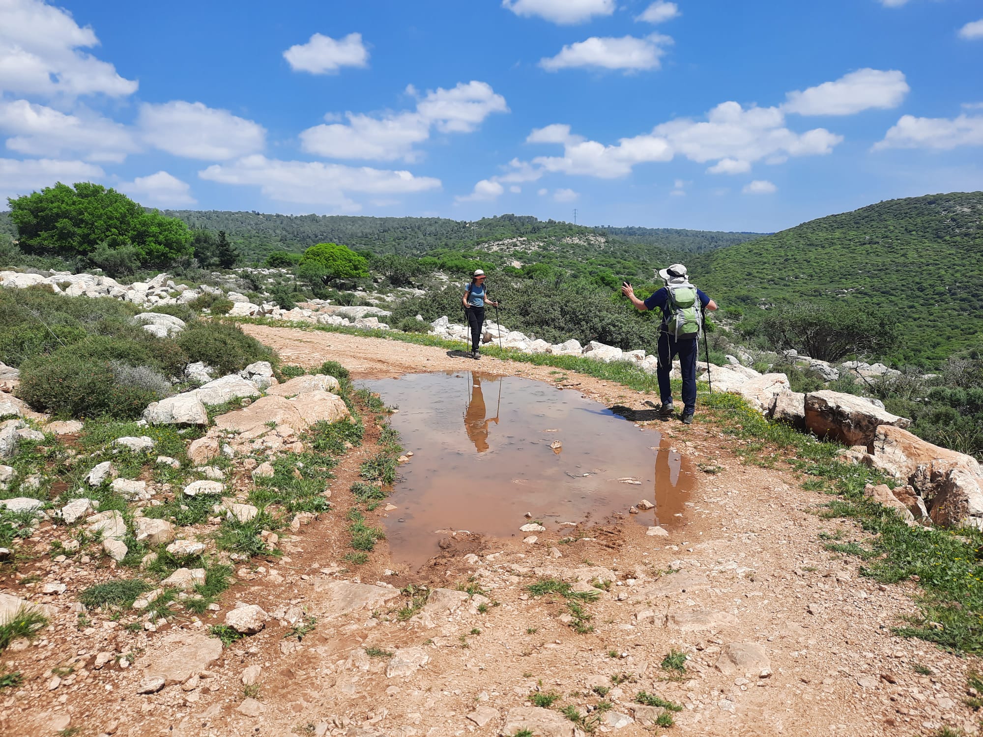
The three days prior to this hike we had just experienced quite the winter storm but by Friday it was all over and the weather couldn’t have been more perfect. There were some puddles and a bit of mud but nothing insurmountable.
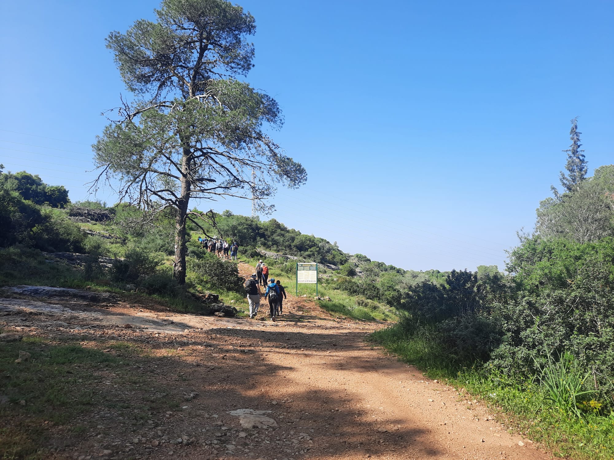
The guide had called meeting time for 9:00 but by the time everyone found parking in the small parking area at the trailhead, we didn’t start walking until around 9:40.
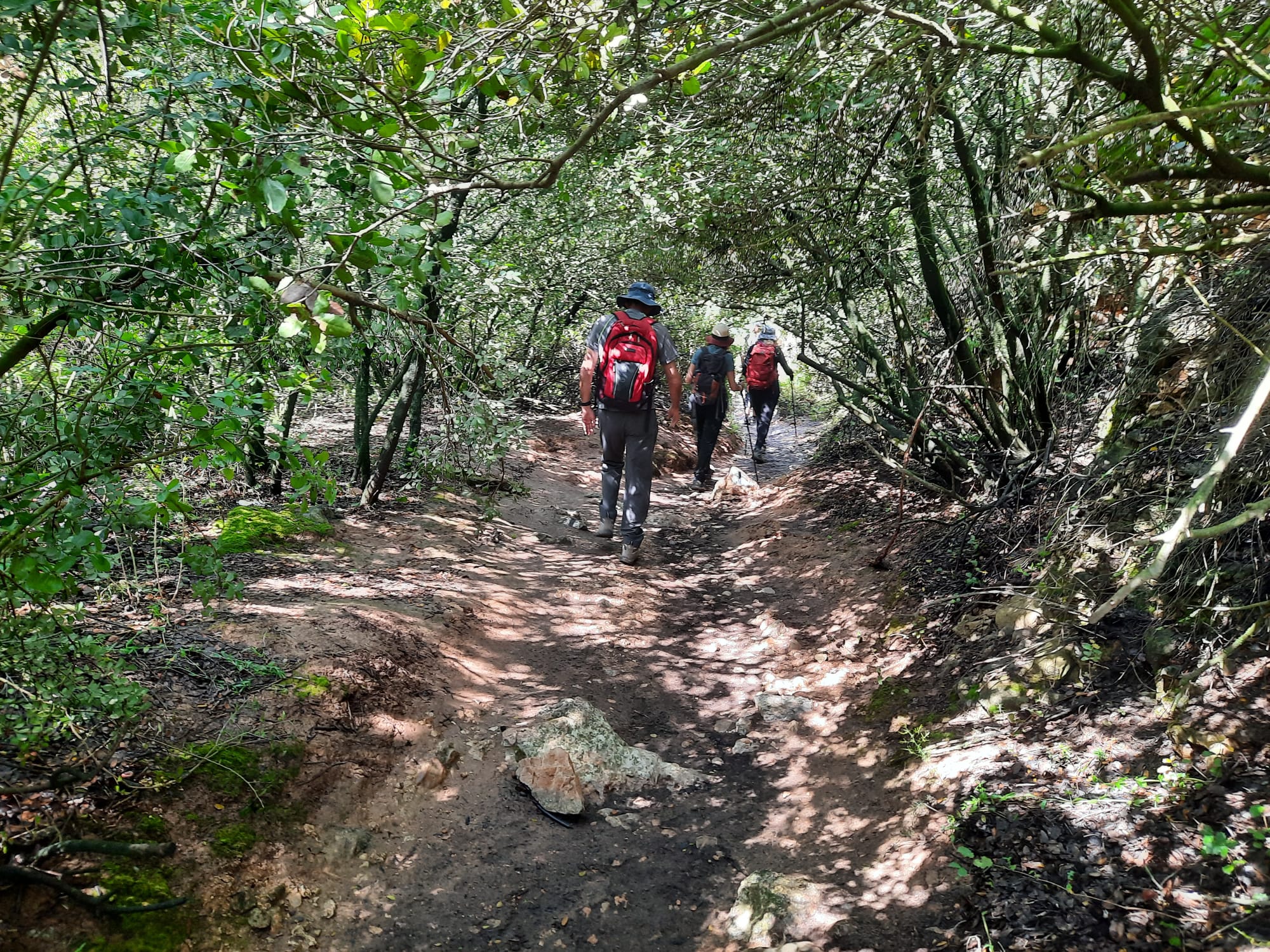
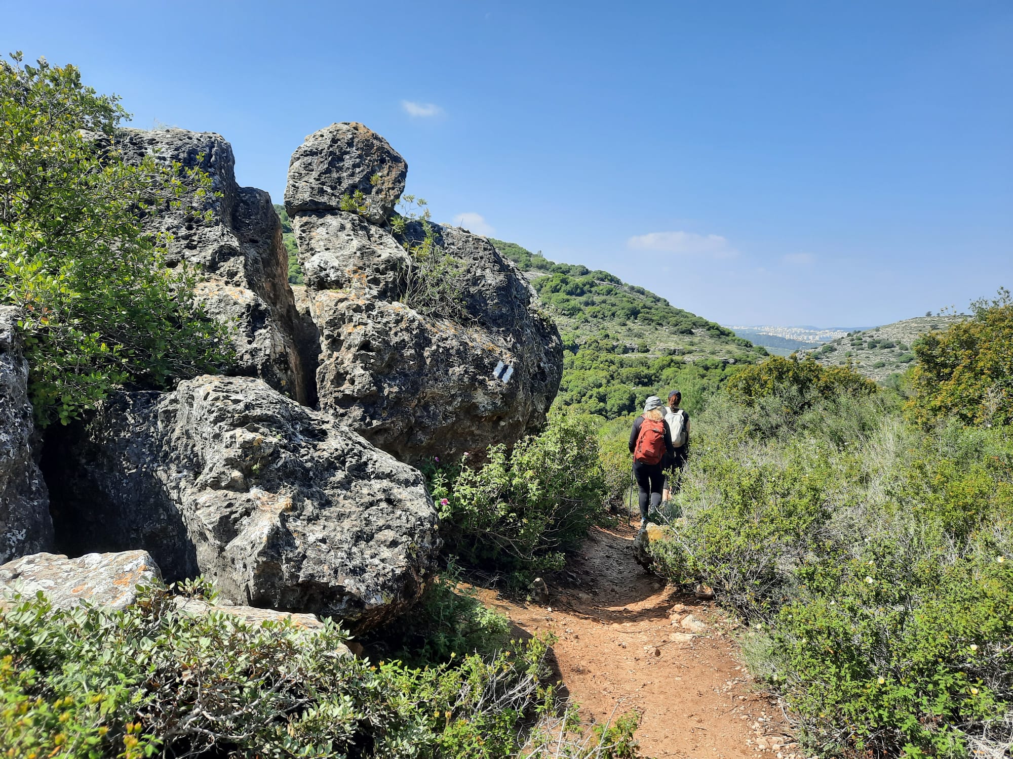
The path down was mostly quite narrow, at times with thorny bushes and trees on either side.
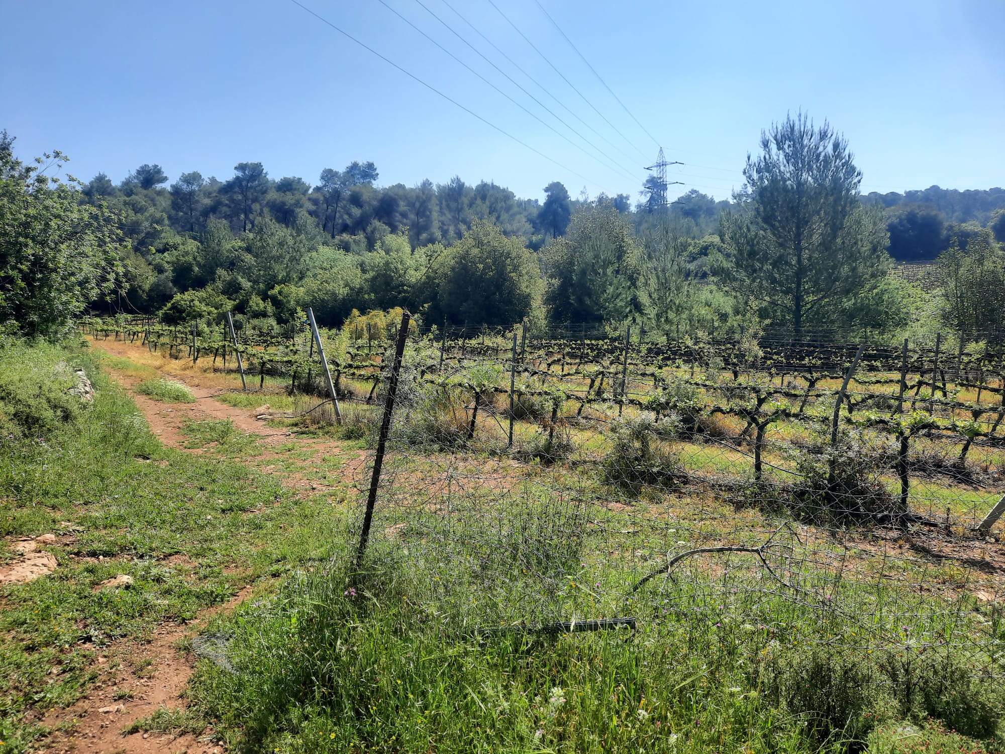
As we descended into the creek bed, we passed a beautiful vineyard and then through a tree tunnel. The greeny-gold light filtering through the trees was magical.
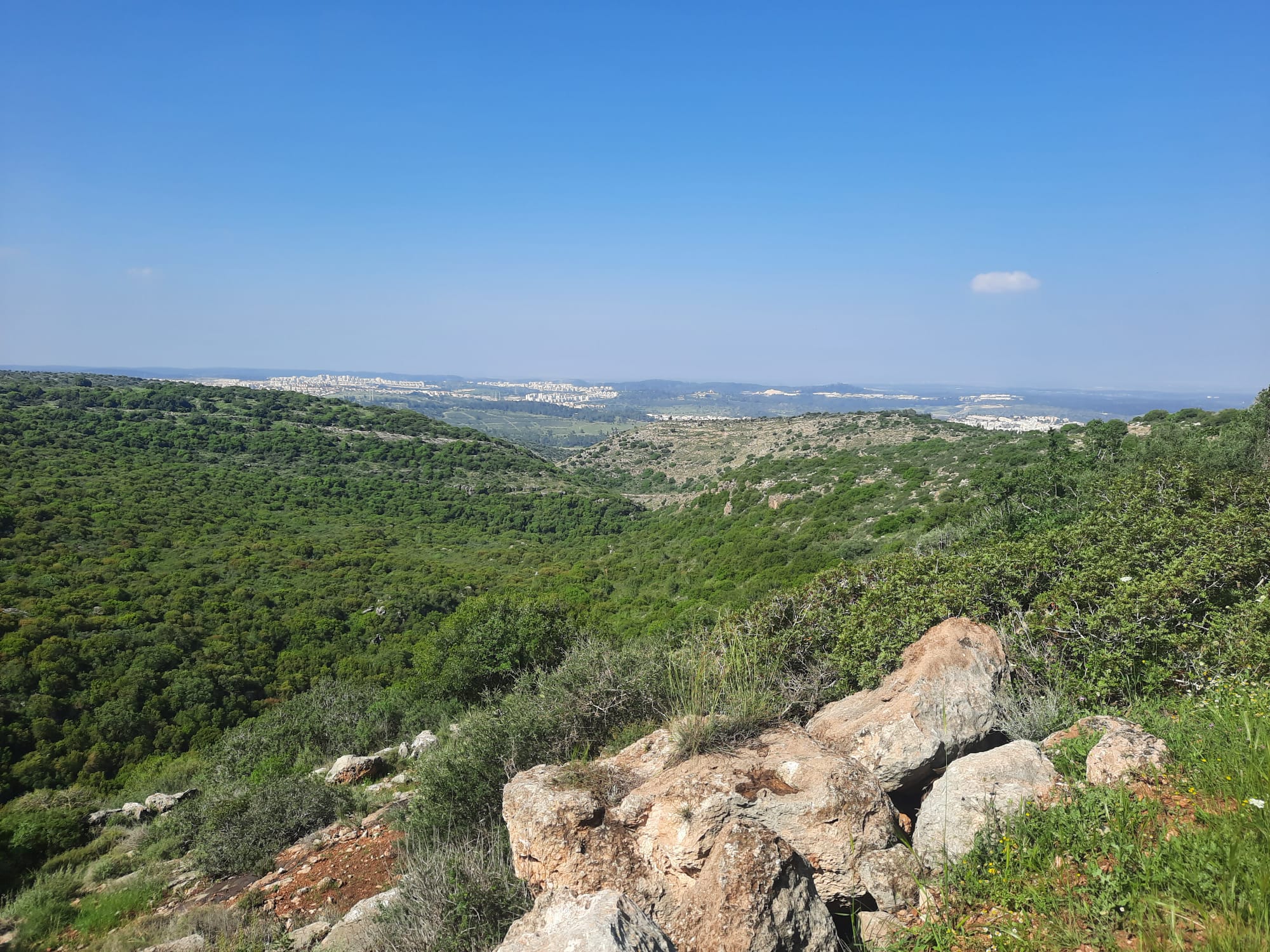
On the way down there were a few points where the trees cleared and we caught a view into the distance. The newly rain-washed colors were amazing.
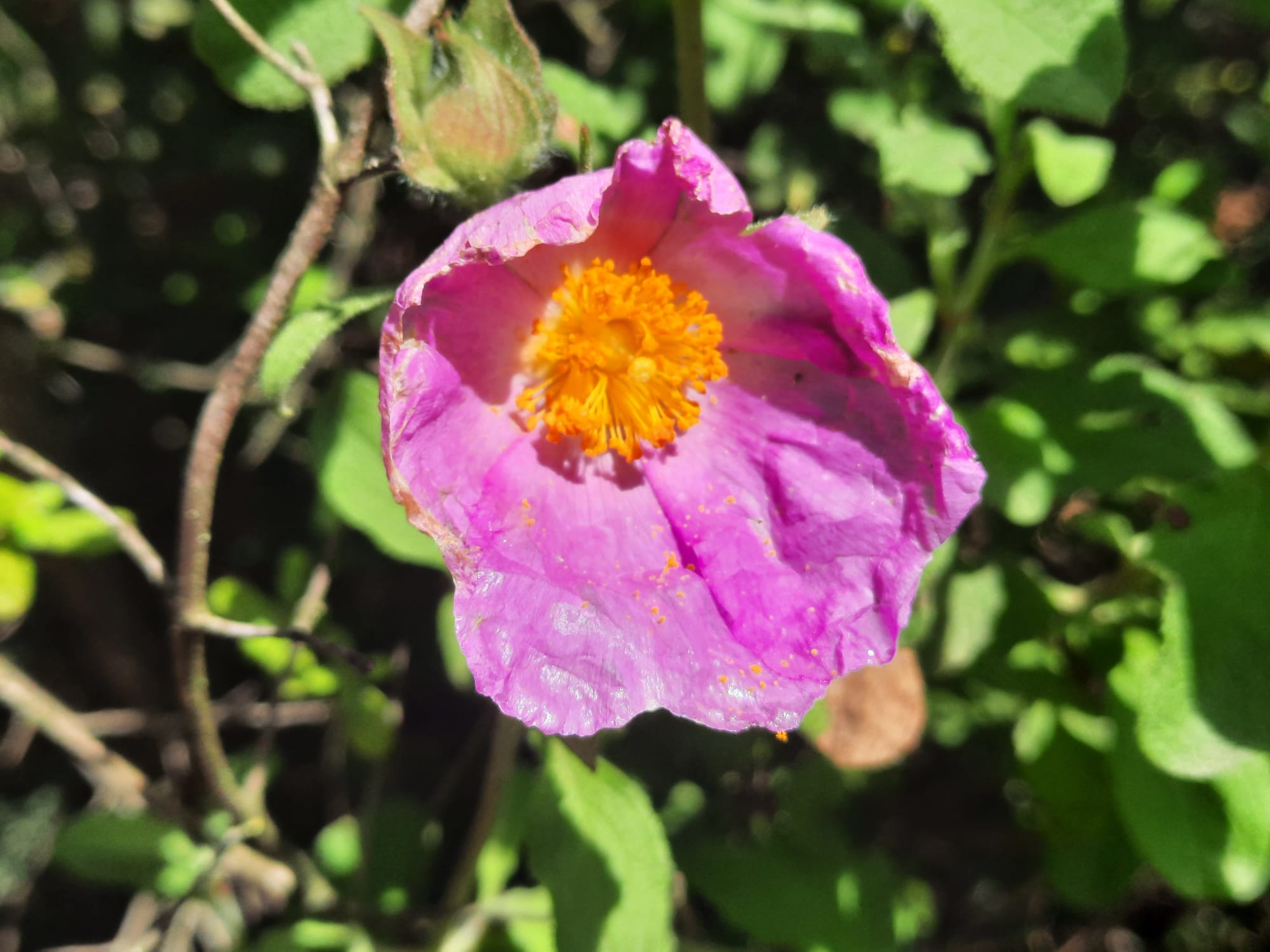
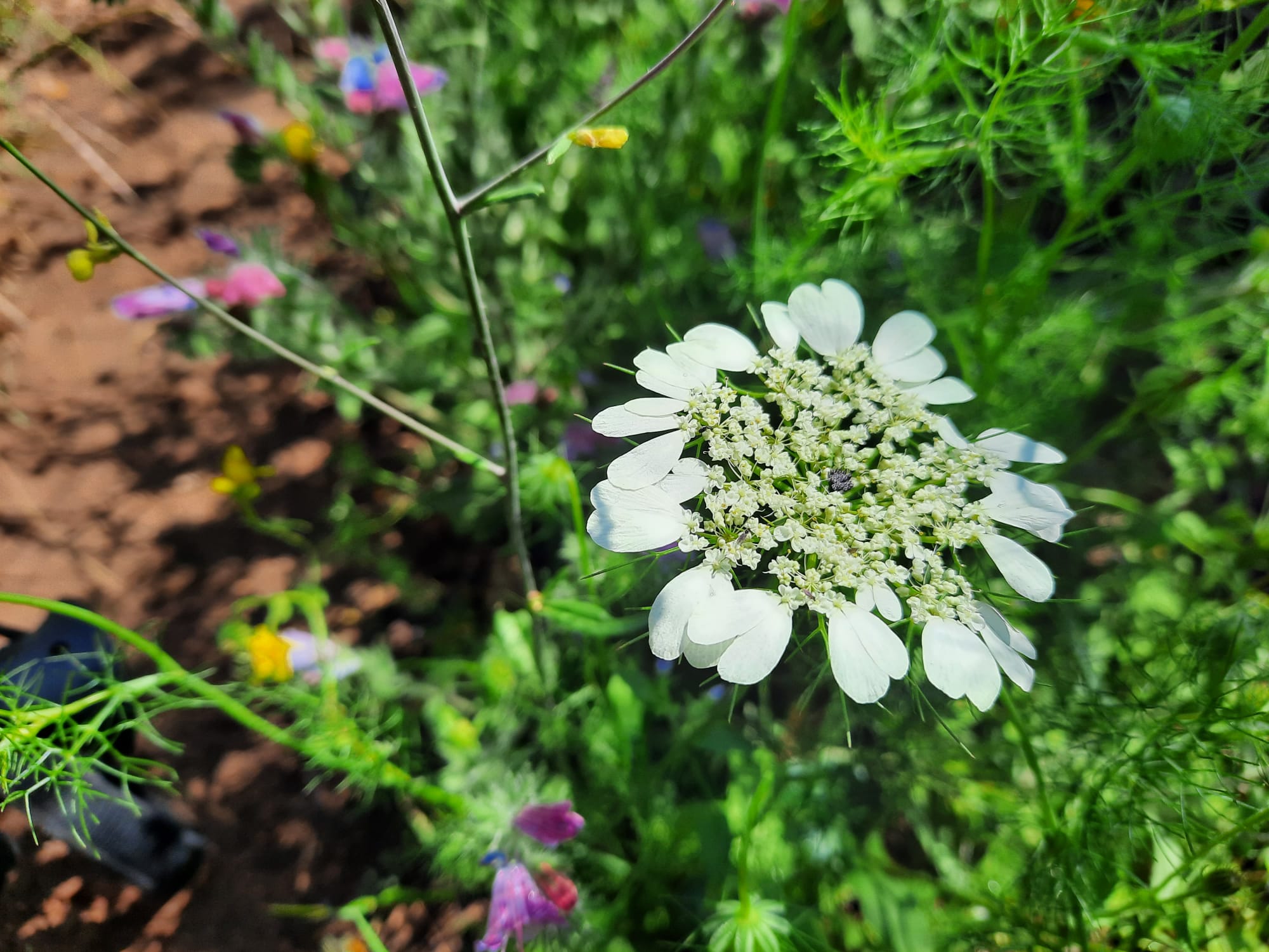
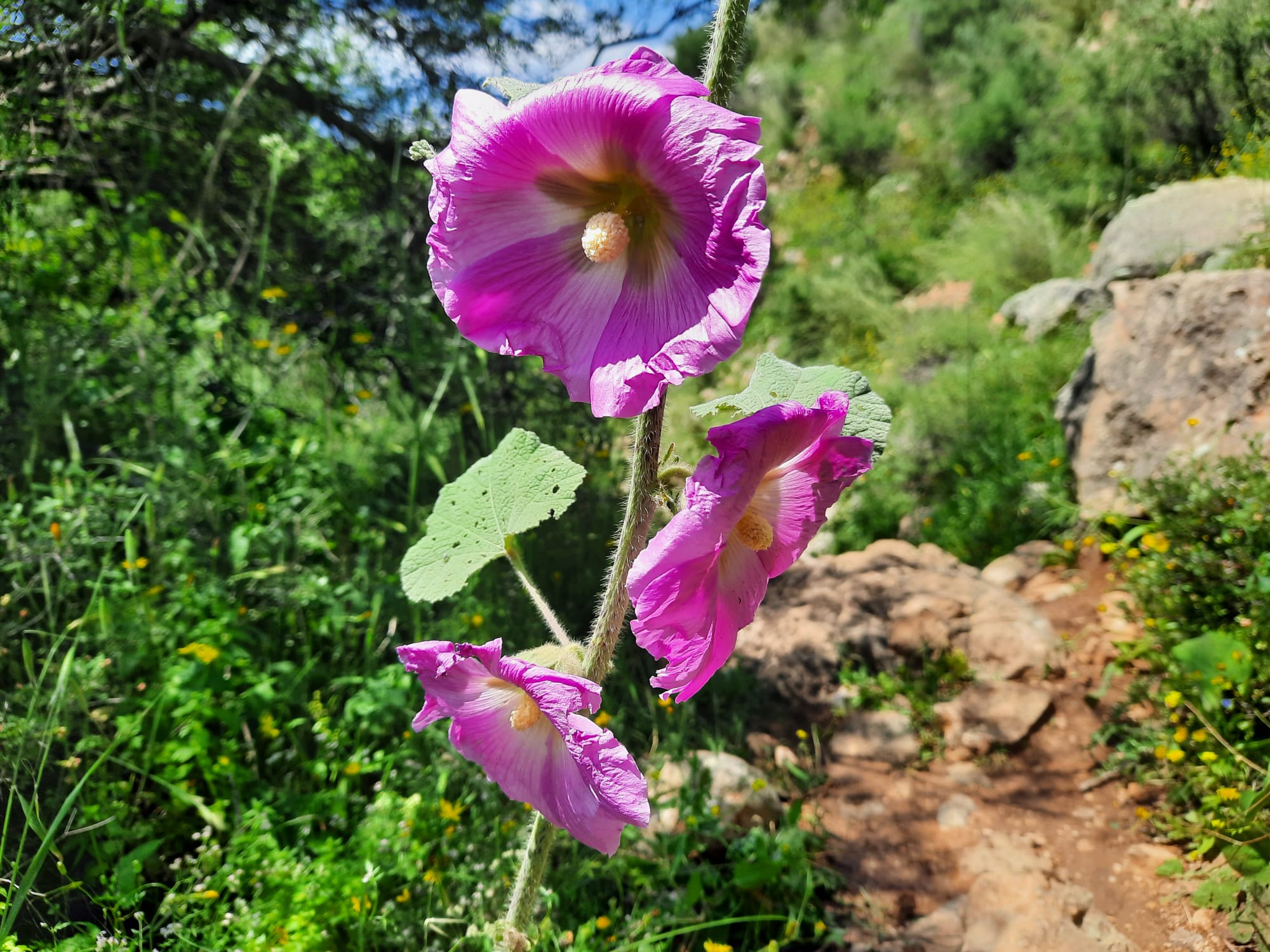
There were flowers of every size, color and description in abundance. The recent rainstorm means that the land will stay green and flowery just that little bit longer.
I love rock formations that make you feel small!
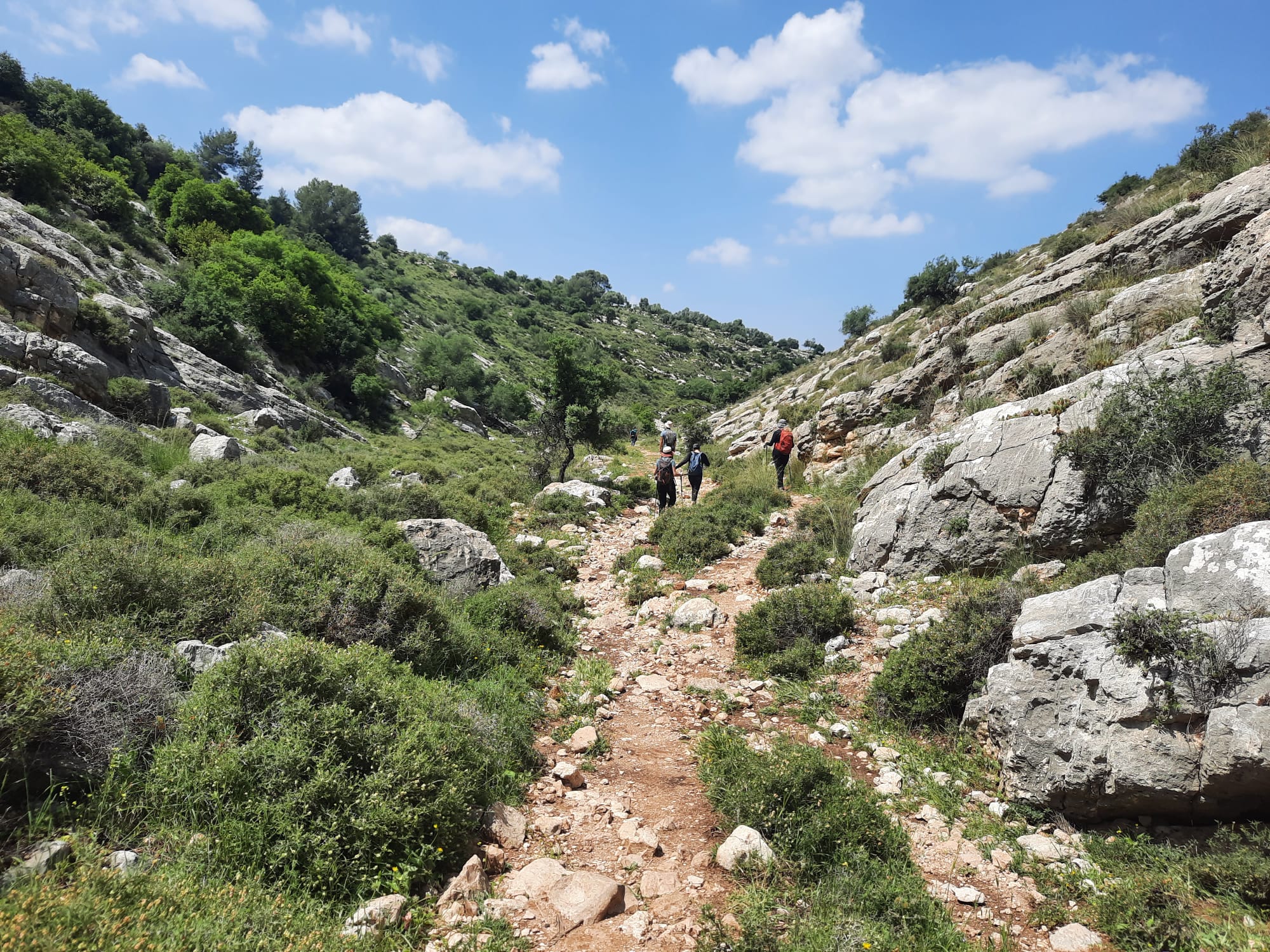
Once down in the creek bed, the trail started to widen out and was somewhat flatter.
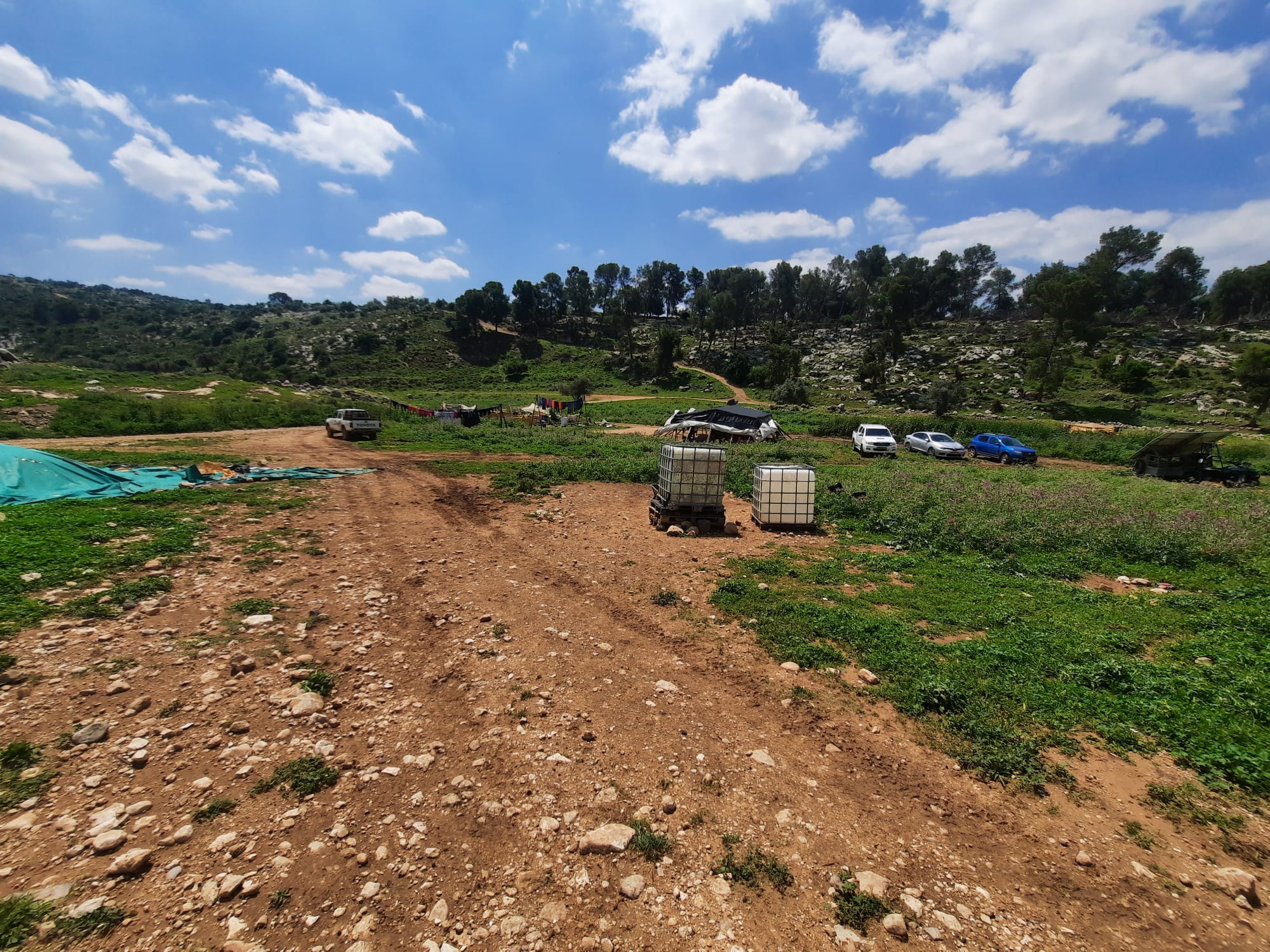
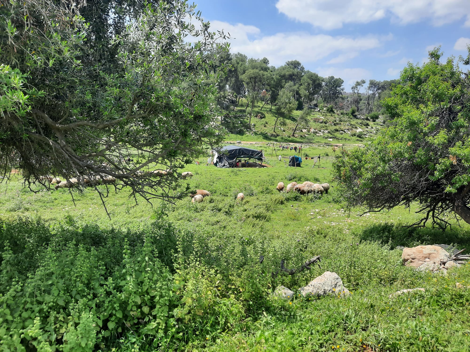
At the junction of the black and red trails, we came upon a bedouin encampment of several large tents and animal pens. There was a small flock of sheep and goats enjoying the tall, green grass beside the tents.
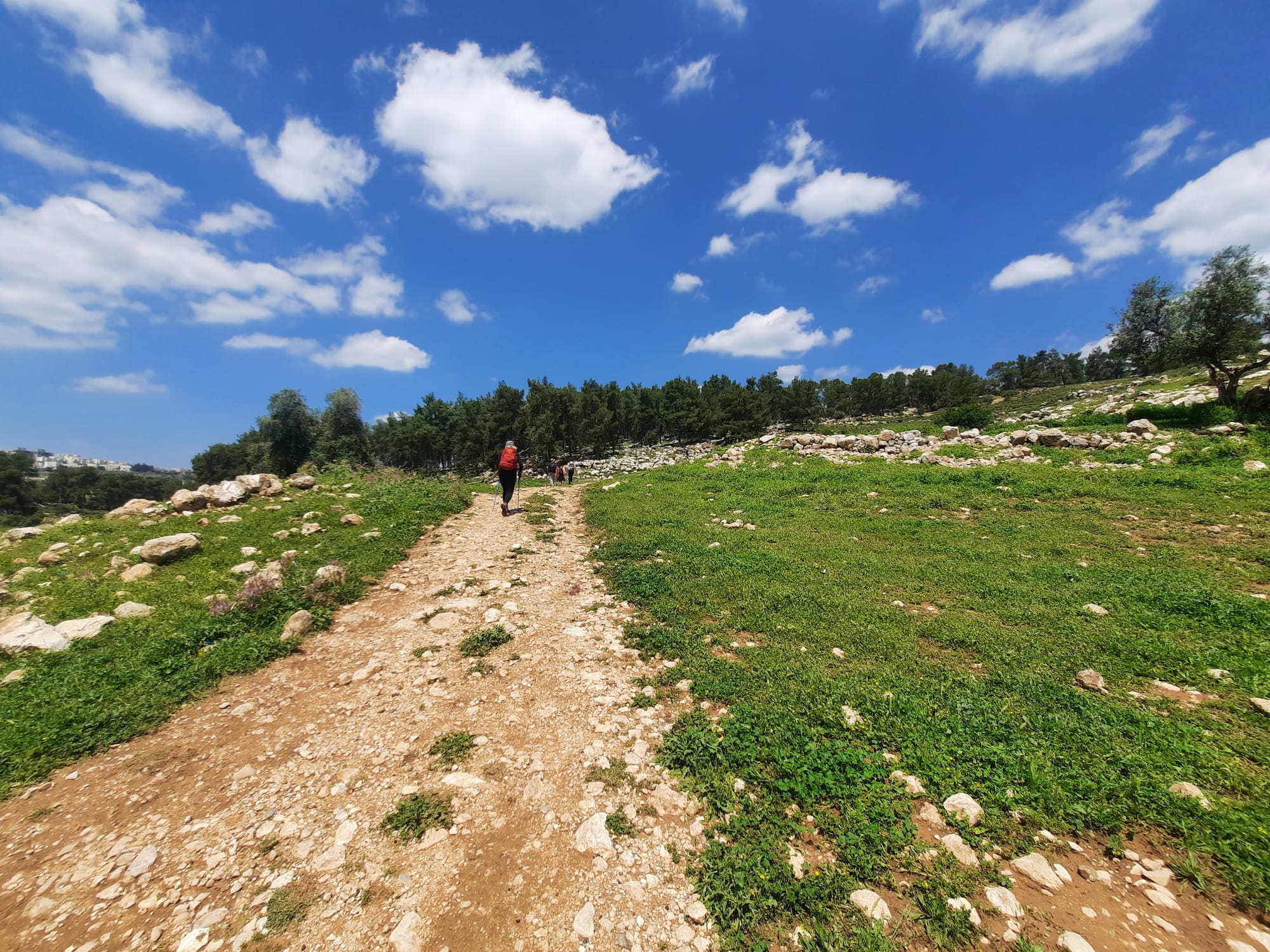
The red trail on the return part of this loop is a workout. It’s not technical or even difficult, it’s just a tad long. Fortunately there are ample opportunities on the way up to take a breather in the shade and look back to take in the amazing views over the valley you just left and Beit Shemesh just beyond.
Up we go!
At the point where we’d pretty much reached the top of the return ascent, we found a large herd of goats resting and grazing in the shade guarded by 2 large, white dogs and 2 little bedouin boys.