Free camping location next to start point. (No facilities other than water.)
Route type: Circular
Difficulty level: Moderate
Waze to start point: 32.806797, 35.742319
Notes:
- Start early to beat the heat. This hike is best done in the spring.
- There are two water crossings. Bring water shoes.
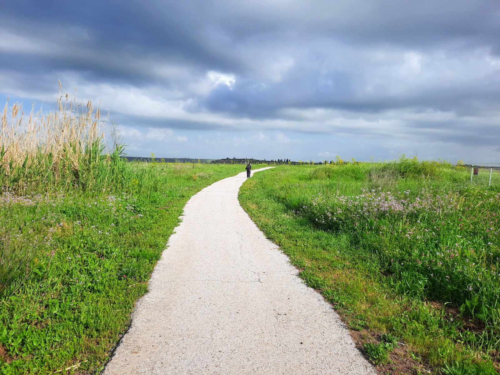
- Trail colors: From the entrance to the red trail, walk south on the paved promenade. It will loop around gradually to the left high above the nahal for ~4.3 kms. After passing the observation point where the flag pole and benches are and the community of Avnei Eitan, look for a red trail that breaks left and down. You will stay on the red trail all the way up, out and back to the car.
It’s quite a drive from the center of the country to the Golan Heights. My friend and I wanted to get an early start Friday morning so we left home after work on a Thursday evening to camp near the hike start.
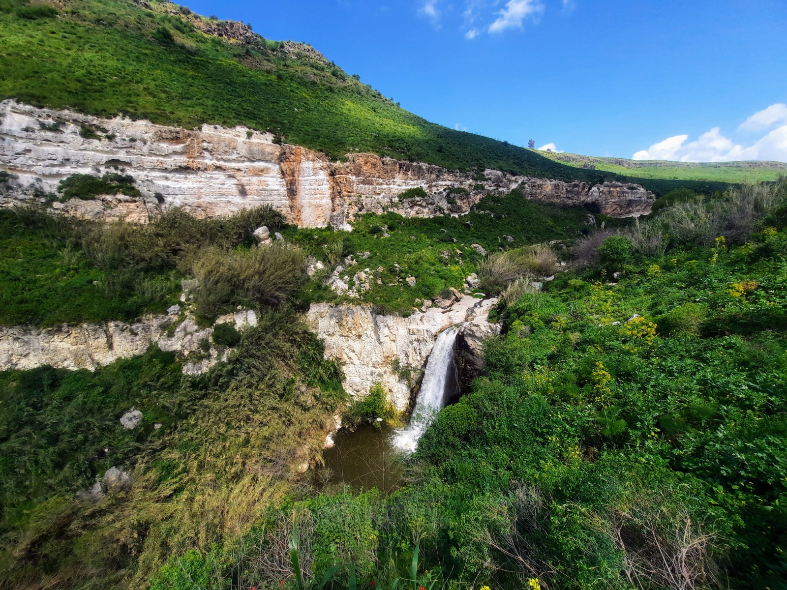
When I awoke Friday morning after a night of light rain and poked my head out my tent door, I was greeted by this view.
Traversing the Trail:
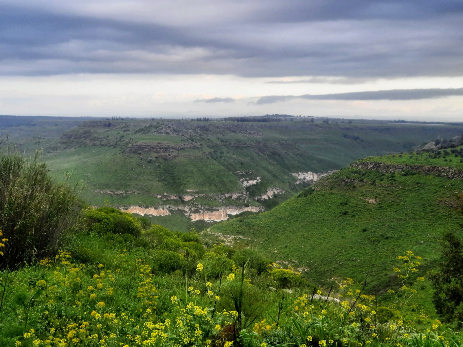
As we set off on the paved promenade that wanders along the cliff high above Nahal El Al, we were immediately captivated by the beauty and drama of threatening rain clouds. The gentle babble of the stream below provided a soothing soundtrack to our walk.
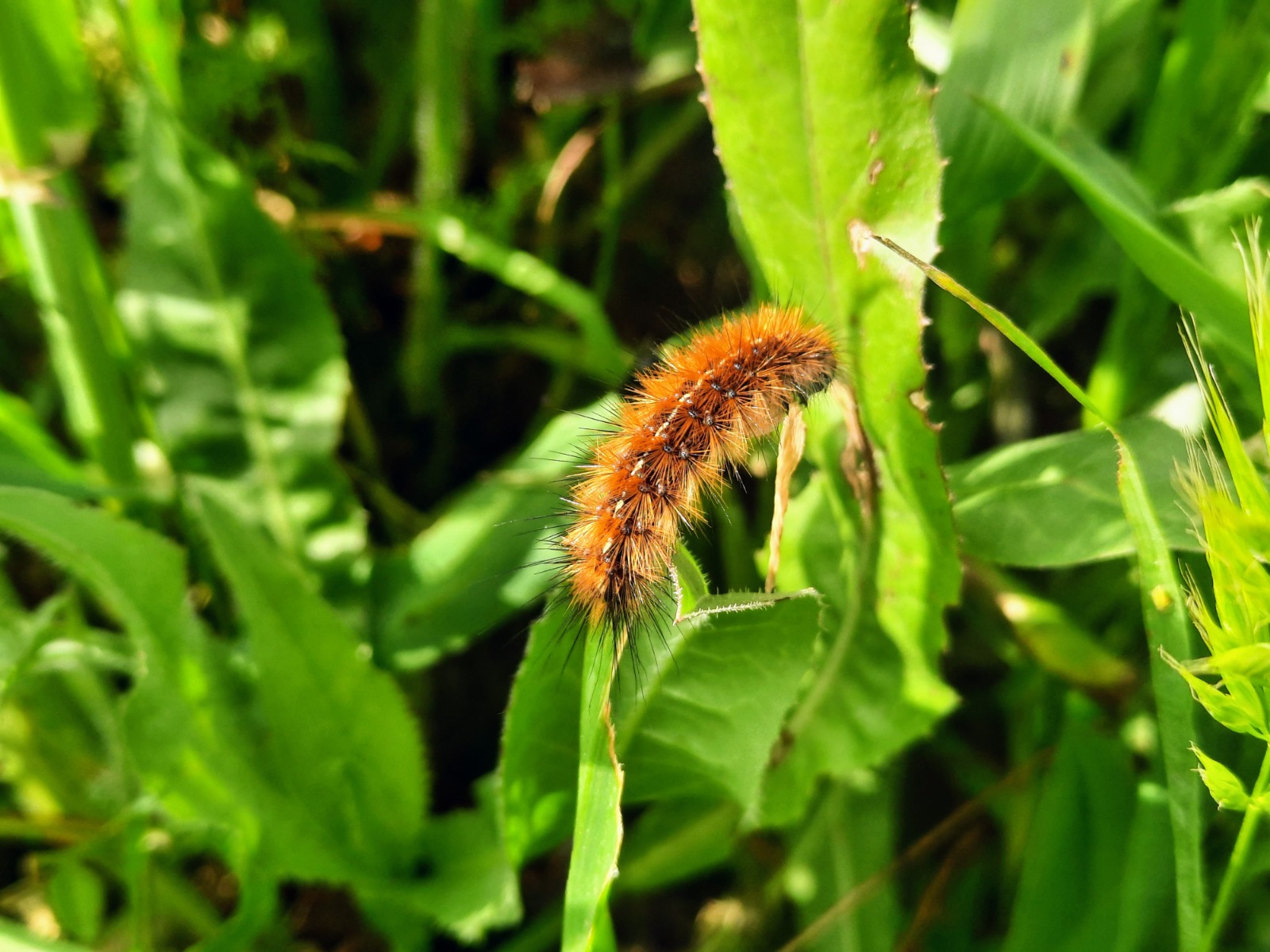
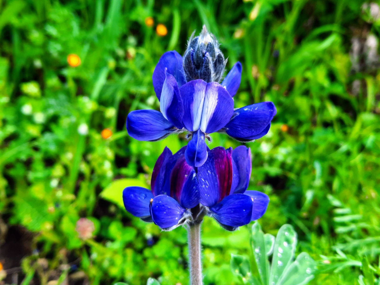
Along the way, we encountered a diverse array of flora and fauna, including this colorful, furry critter.
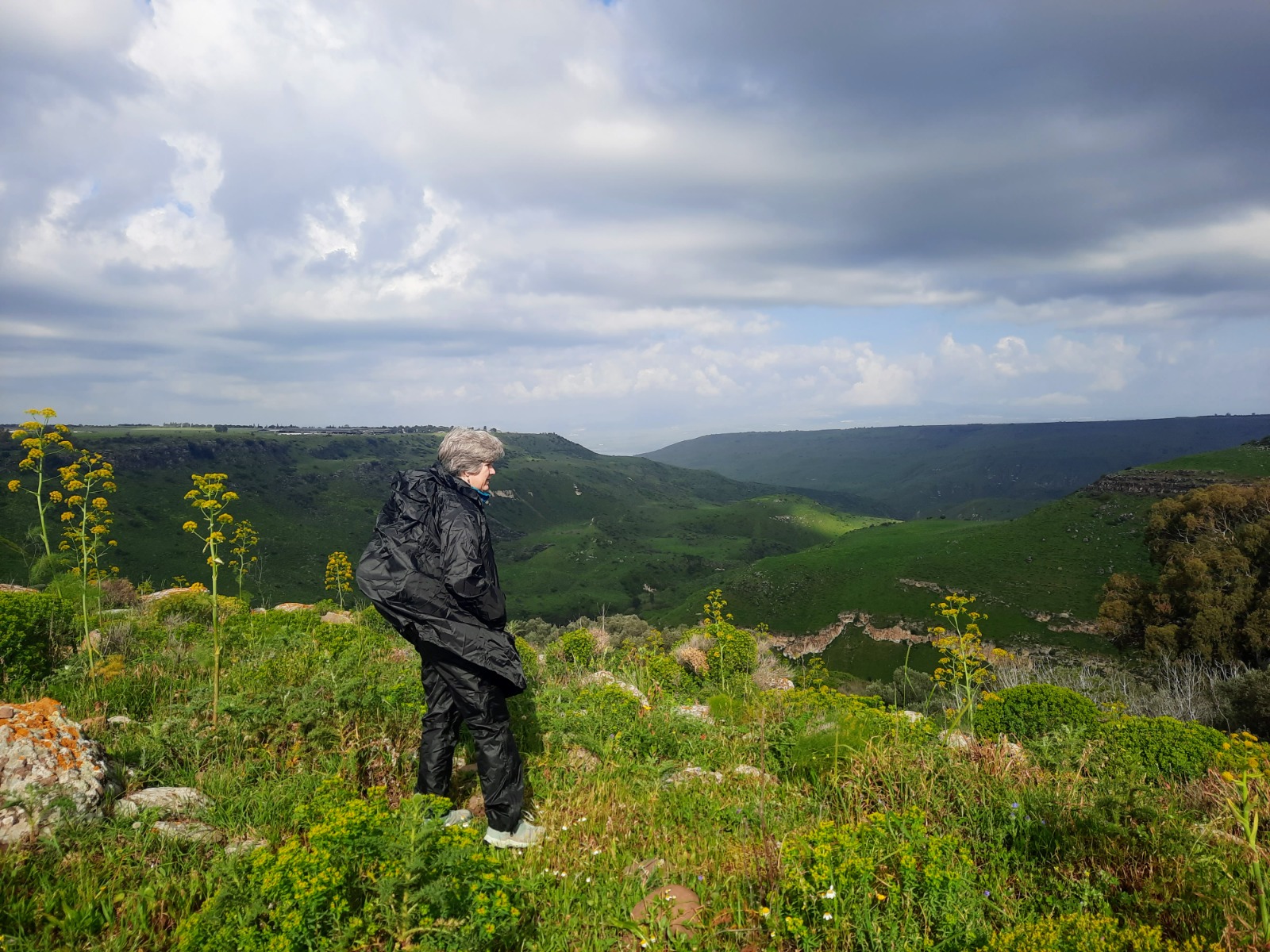
At several points we deviated from the paved path and approached the cliff edge to get a better look down into the nahal.
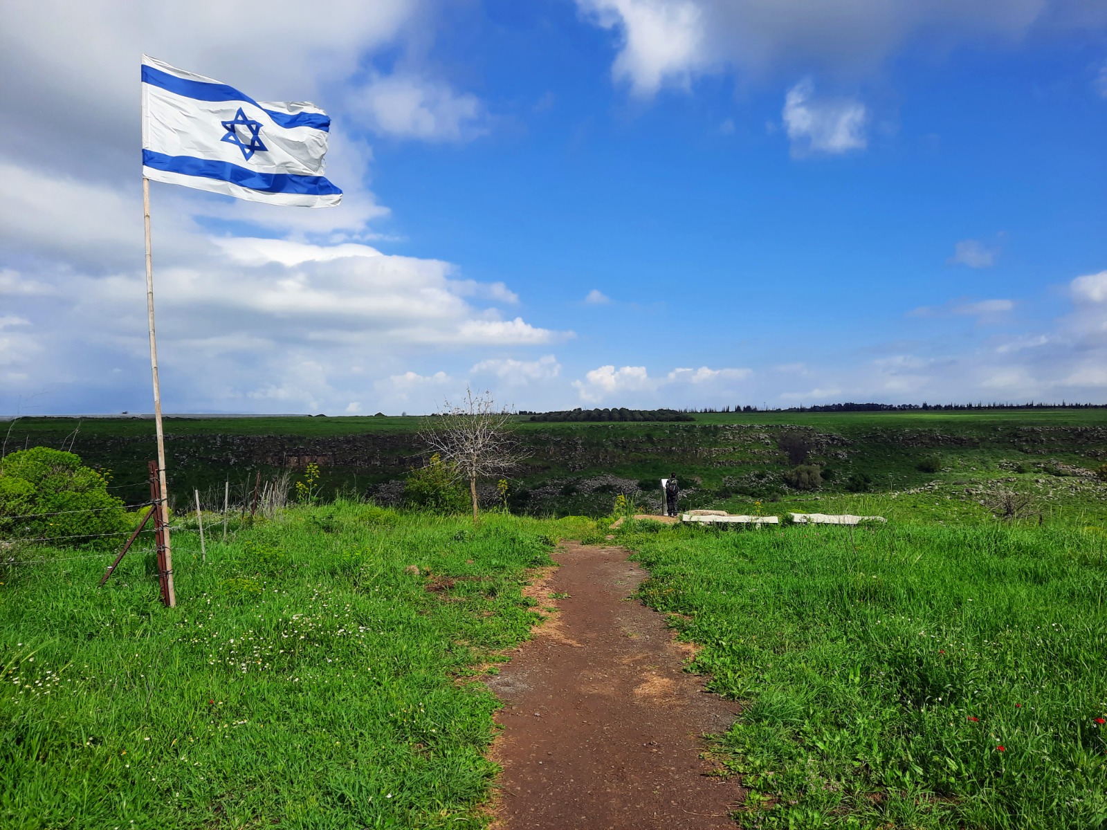
At the ~3 km point, there is a flag pole and observation point/memorial – called Mitzpeh HaBanim – with benches that provides a great place for a break, views up and down the nahal and opportunity for selfies.
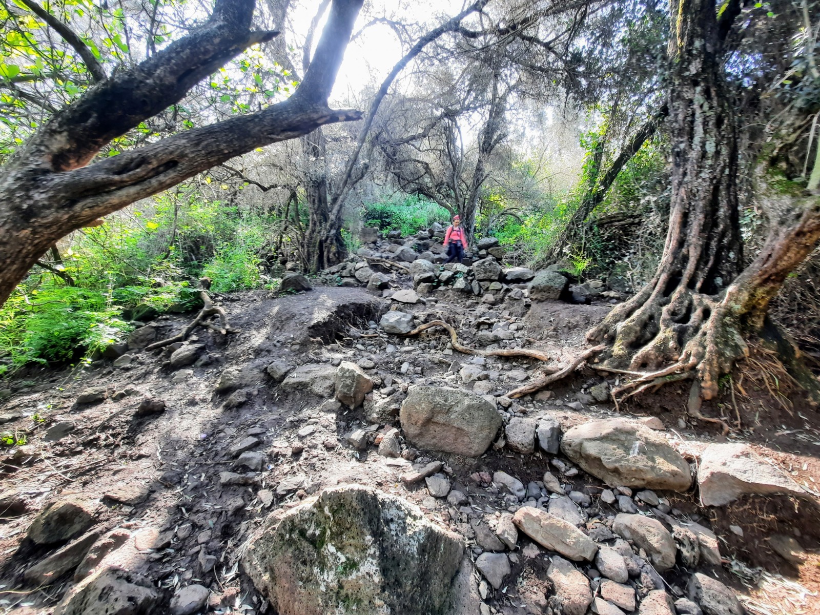
A short distance after the observation point is the community of Avnei Eitan. Here there is a red trail that breaks away to the left and down from the paved path. The descent is rather steep and boulder-strewn. It’s wise to take the descent slowly and carefully.
The nahal flows across the red trail at the bottom of the descent although this wasn’t immediately clear since the trail markings were obscured by the foliage. After doing a little wandering around, we figured out that yes, this is the first creek crossing.
Whether you change here into water shoes is up to you. We did and we found our hiking poles to be useful for balance as we forded the creek.
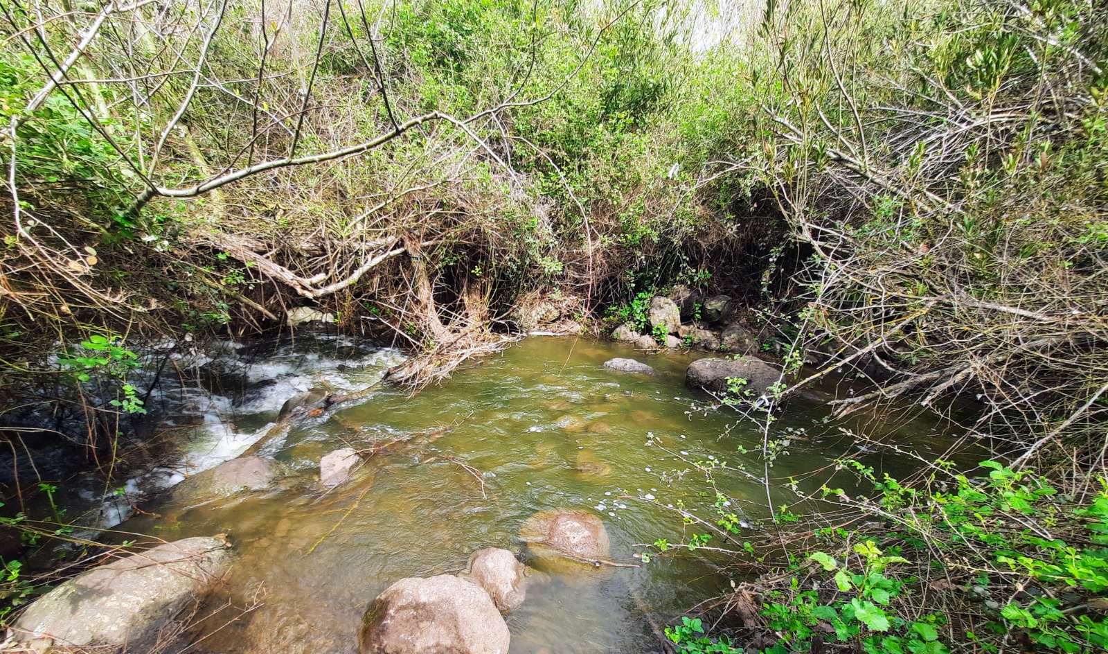
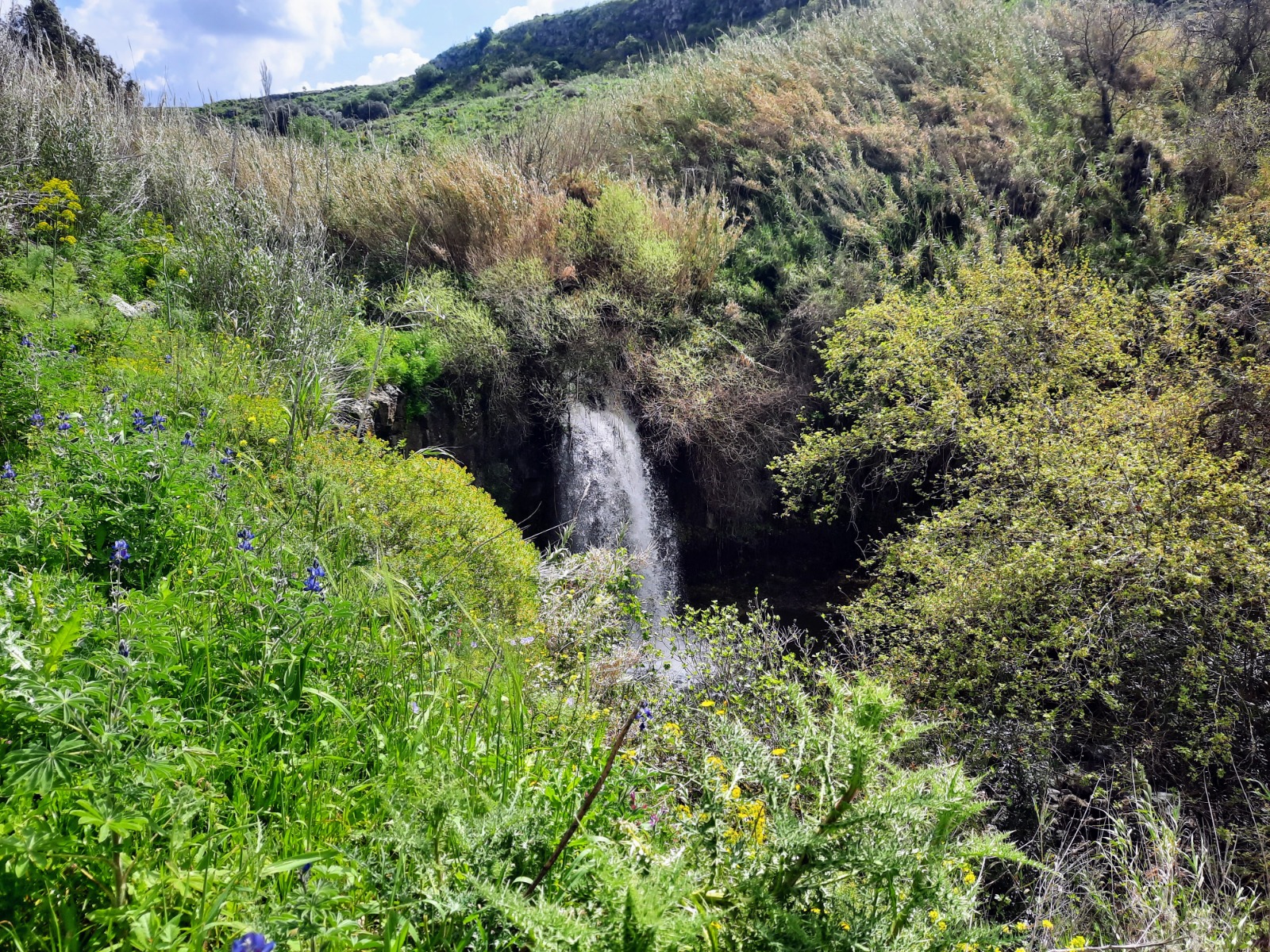
After crossing, the red trail curves around to the left and begins the downstream return towards the start point. Soon the first of two waterfalls, the Black Waterfall, was reached.
Rest and Reflection:
Amidst our explorations, nestled beneath the shade of a towering tree, we took the time to soak in the sights and sounds of Nahal El Al, grateful for the opportunity to commune with nature.
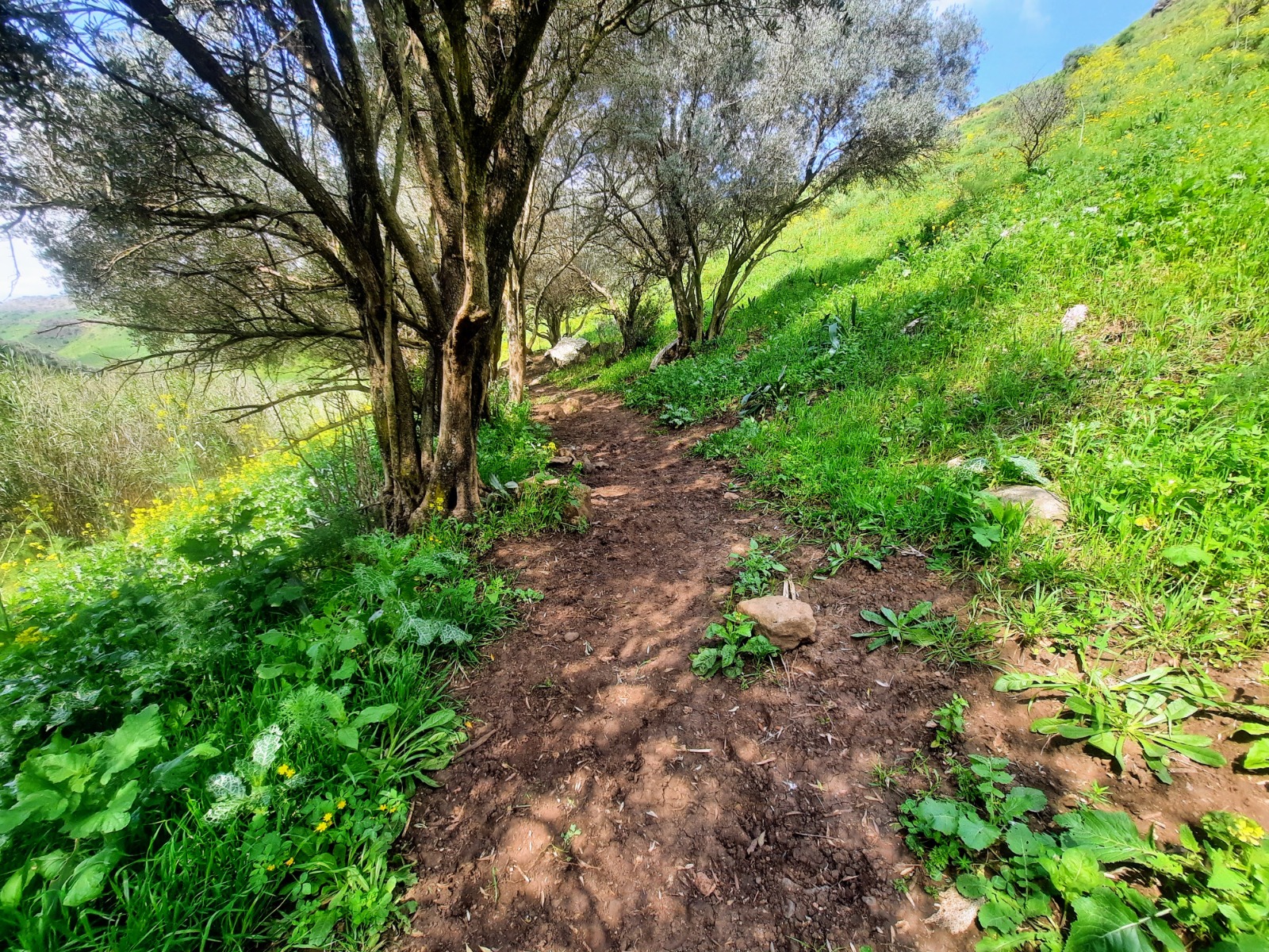
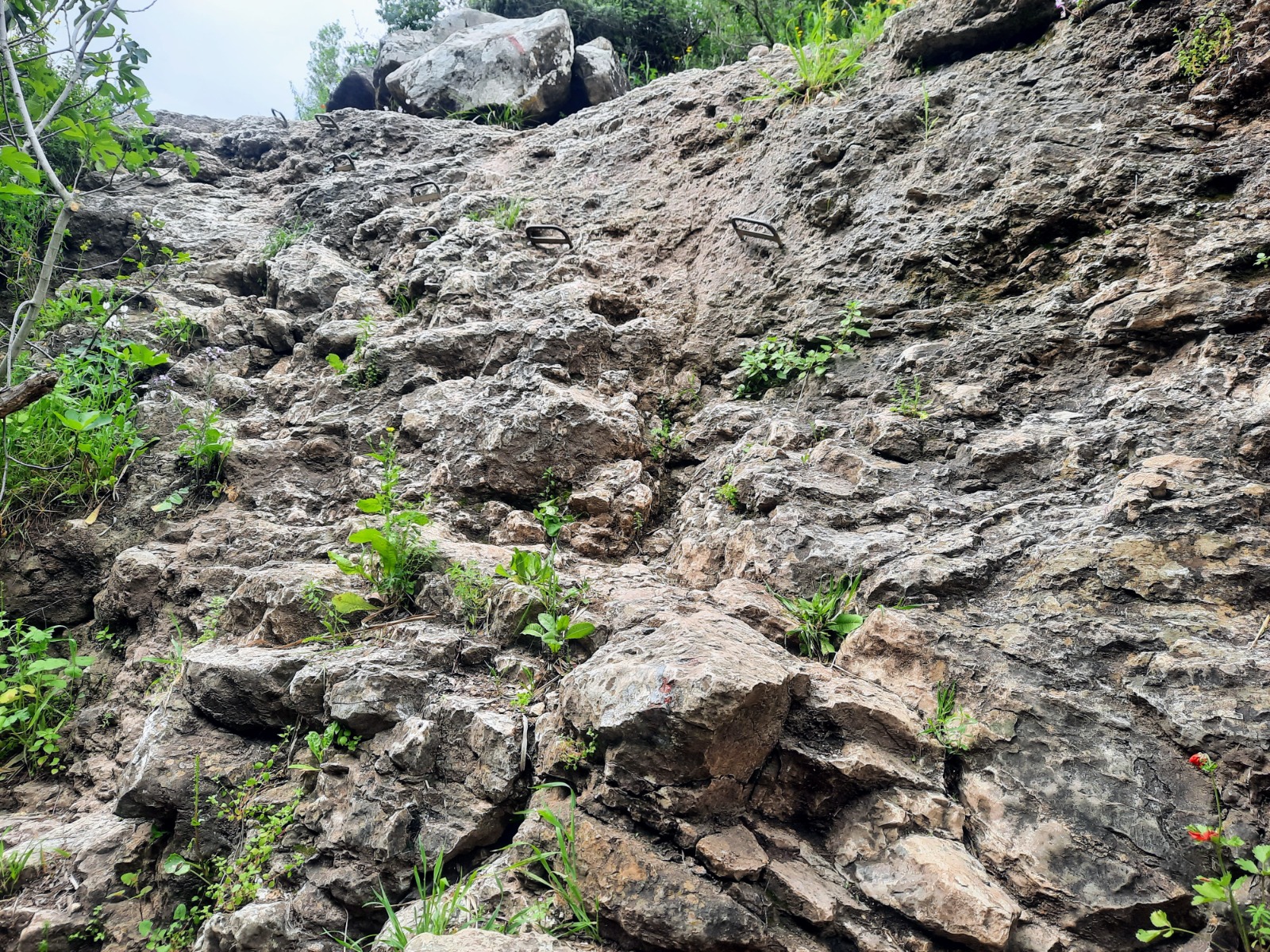
While I would consider the trail to be for the most part of moderate difficulty, there was one place where there were hand holds to assist in the descent.
At the ~6.6 km point, you will come to another creek crossing. Here too, hiking poles are useful for balance. The roar of the creek spilling over the ledge was deafening.
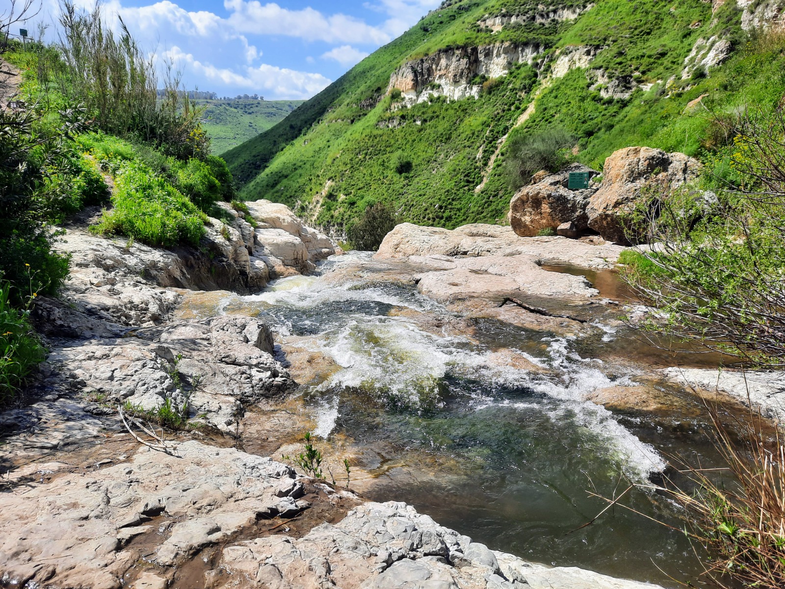
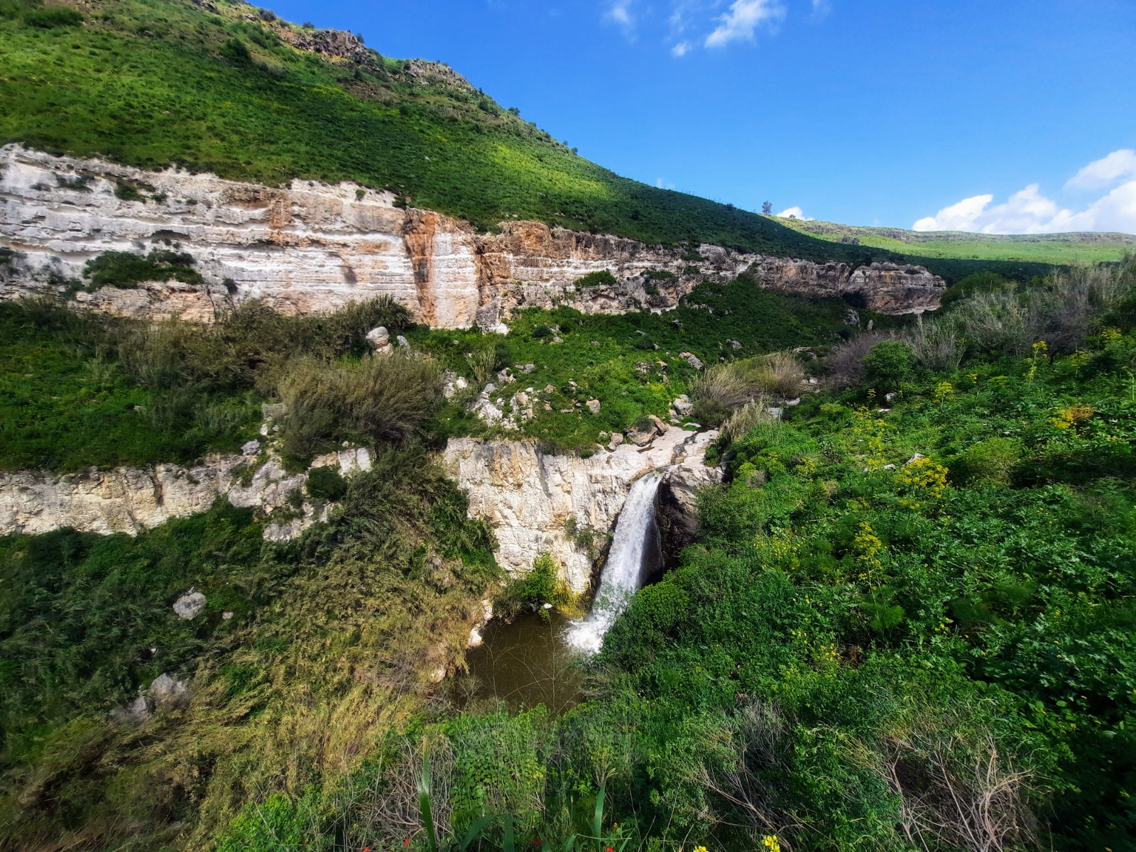
From here the trail began the ascent up and out. A glance back at the impressive White Waterfall made me feel as if I’d fallen into a postcard.
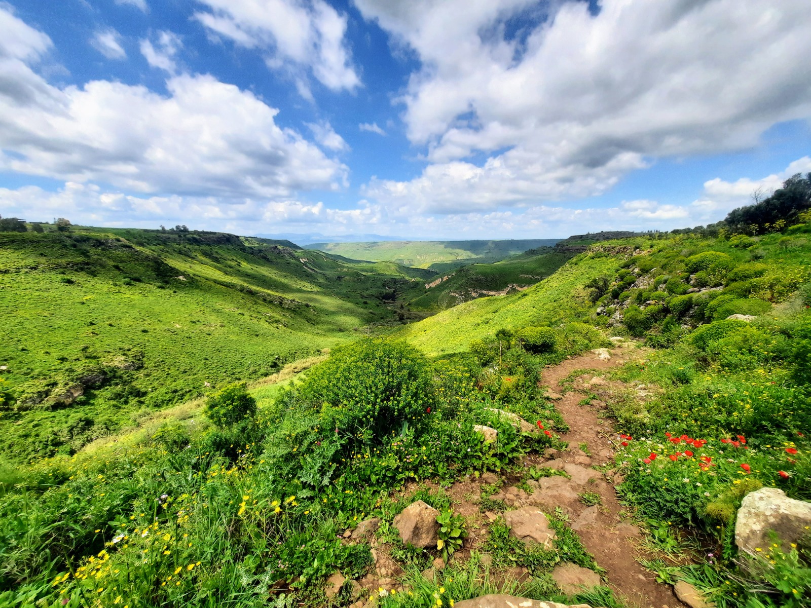
The view just kept getting better and better the higher we ascended. It always pays to stop and look back.
After returning to the start point and the car, we headed to Daliyot Forest to eat dinner, camp and rest up in preparation for hiking Nahal Meitzar the following day. Stay tuned!

