
Route type: A=>B
Difficulty level: Moderate
Waze to start point: 32.602544, 35.095648
Notes:
- Start early to beat the heat.
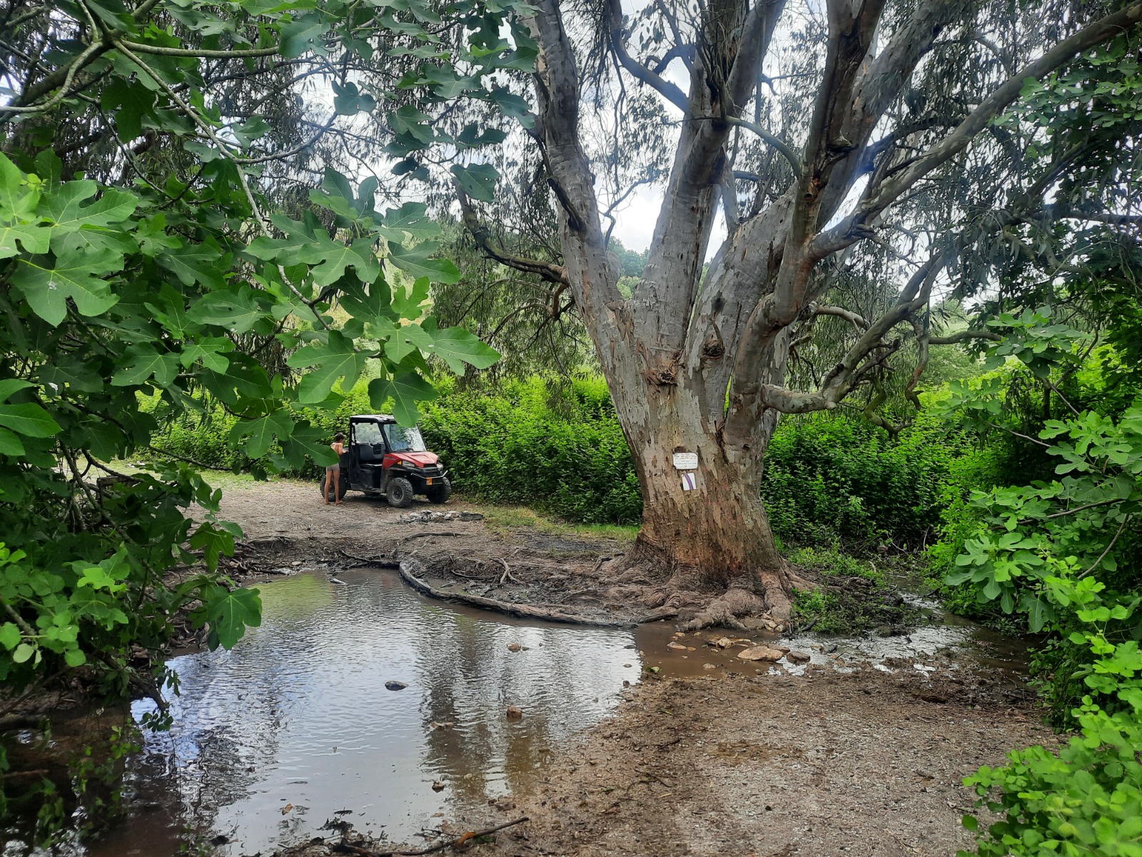
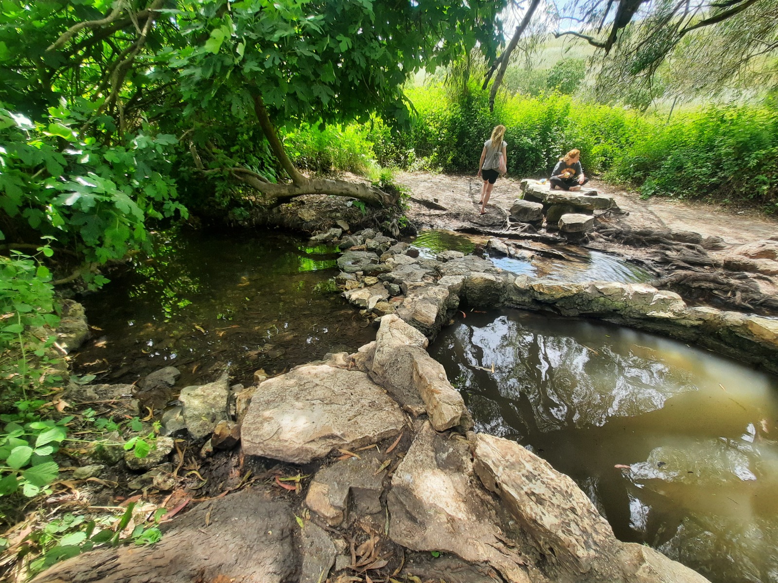
- There are a few points where there is access to a shallow stream. The best location for water play is Ein Nili at km 14.3. Bring water shoes/clothes/towel. Shaded location.
- Leave one car inside Kibbutz Gilad, the other at the start point coordinates given above.
Shvil Meggido is a relatively new, 72 km trail which was inaugurated in the spring of 2023. It replaces the badly neglected Ramot Menashe Trail. It is located approximately half way between Zichron Yaakov and Afula.
We parked at the Mitzfor Ochburg parking lot then walked out the back gate to the paved starting point of our choice. It was a chill, windy morning and threatening clouds chased us over the course of the morning but it never actually rained.
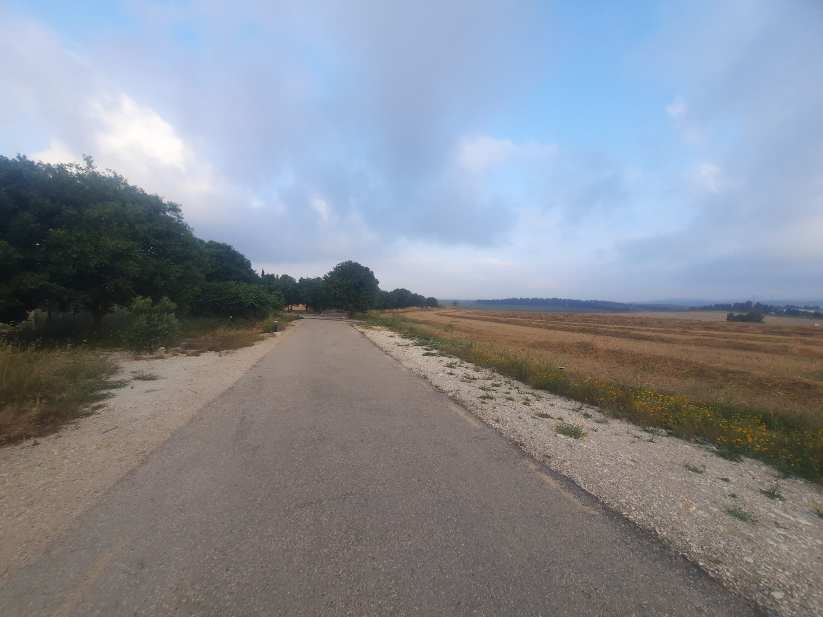
The paved walking path took us alongside road 6953 for a short distance. This was followed by a right turn alongside road 672 for about 600 meters. Here we crossed over to the other side and went off road.
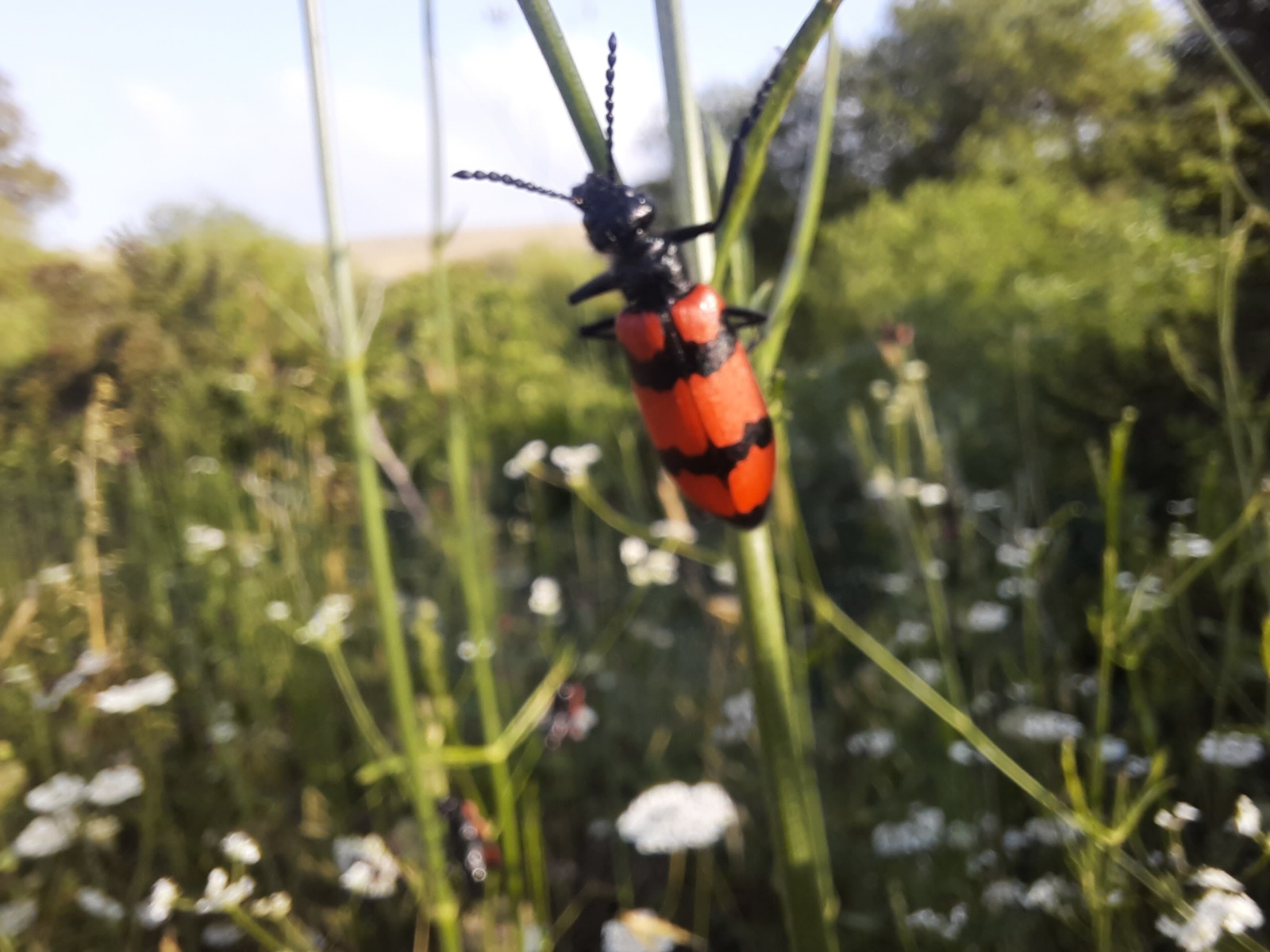
Further along a sign informed us we were entering the Daliya Stream Reserve…which was furnished with some VERY dramatic bug life! There was one type of shrub that held hundreds of them.
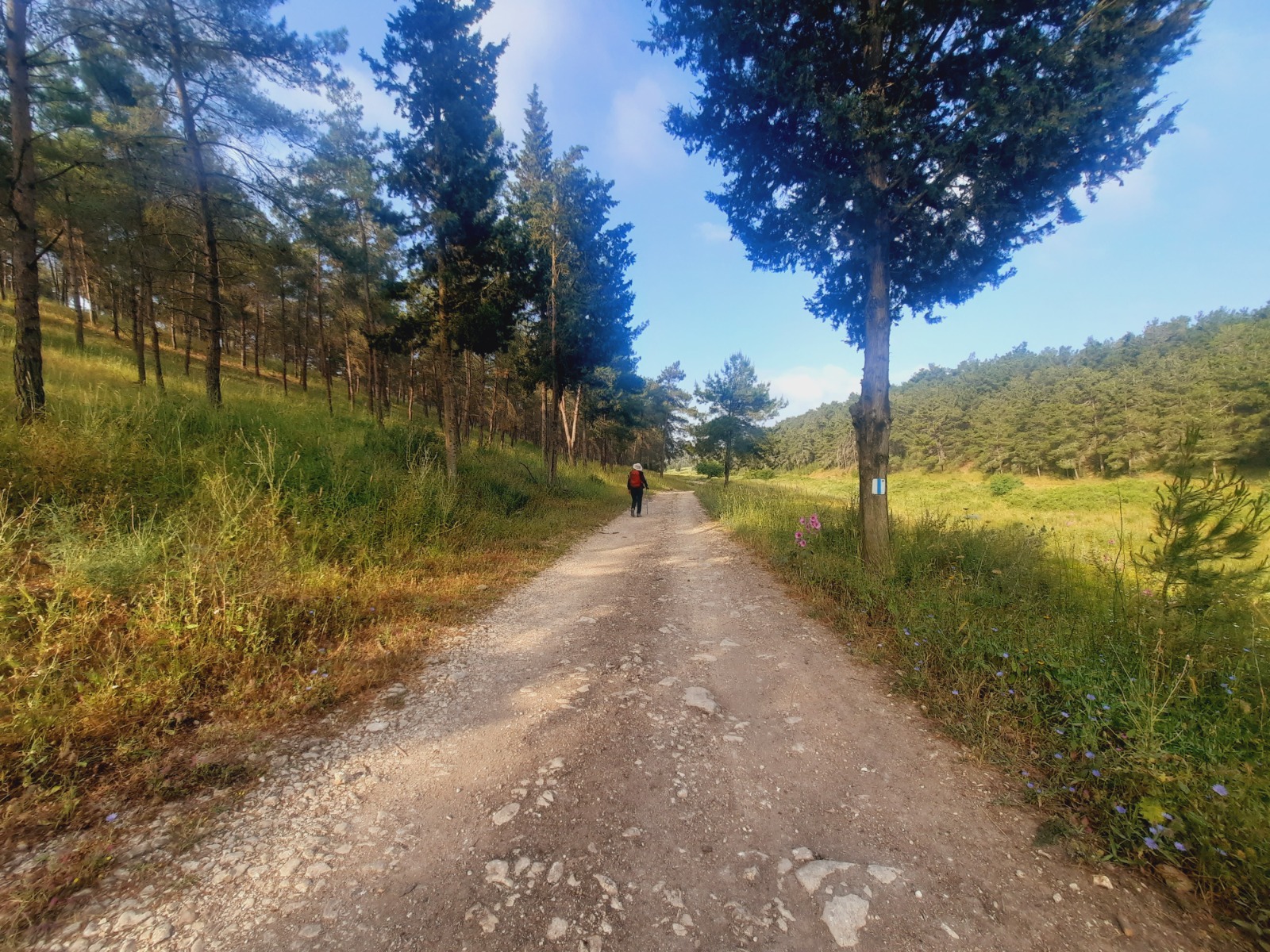
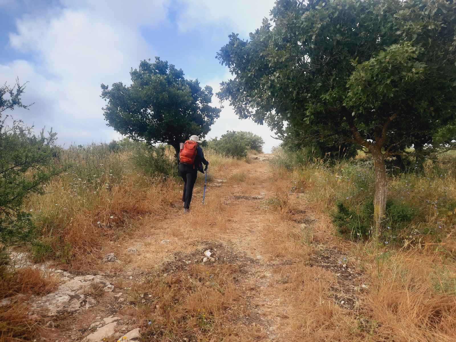
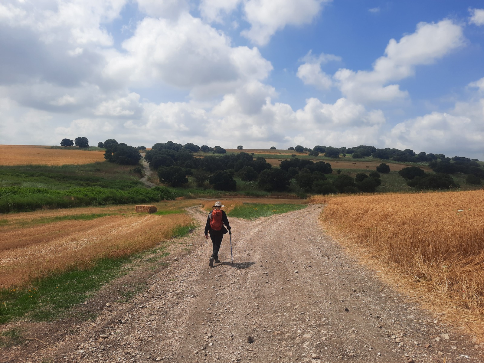
The terrain consisted of gently rolling hills with few to no trees. We enjoyed them wherever they appeared.
There was a short ascent or two that brought our heart rates up. We pushed through.
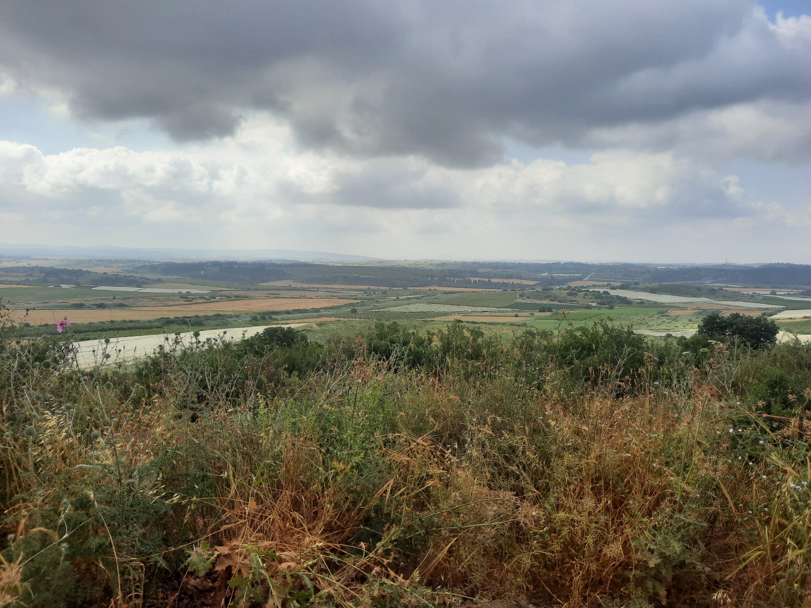
A bend in the trail gave us a fantastic view of Road 6.
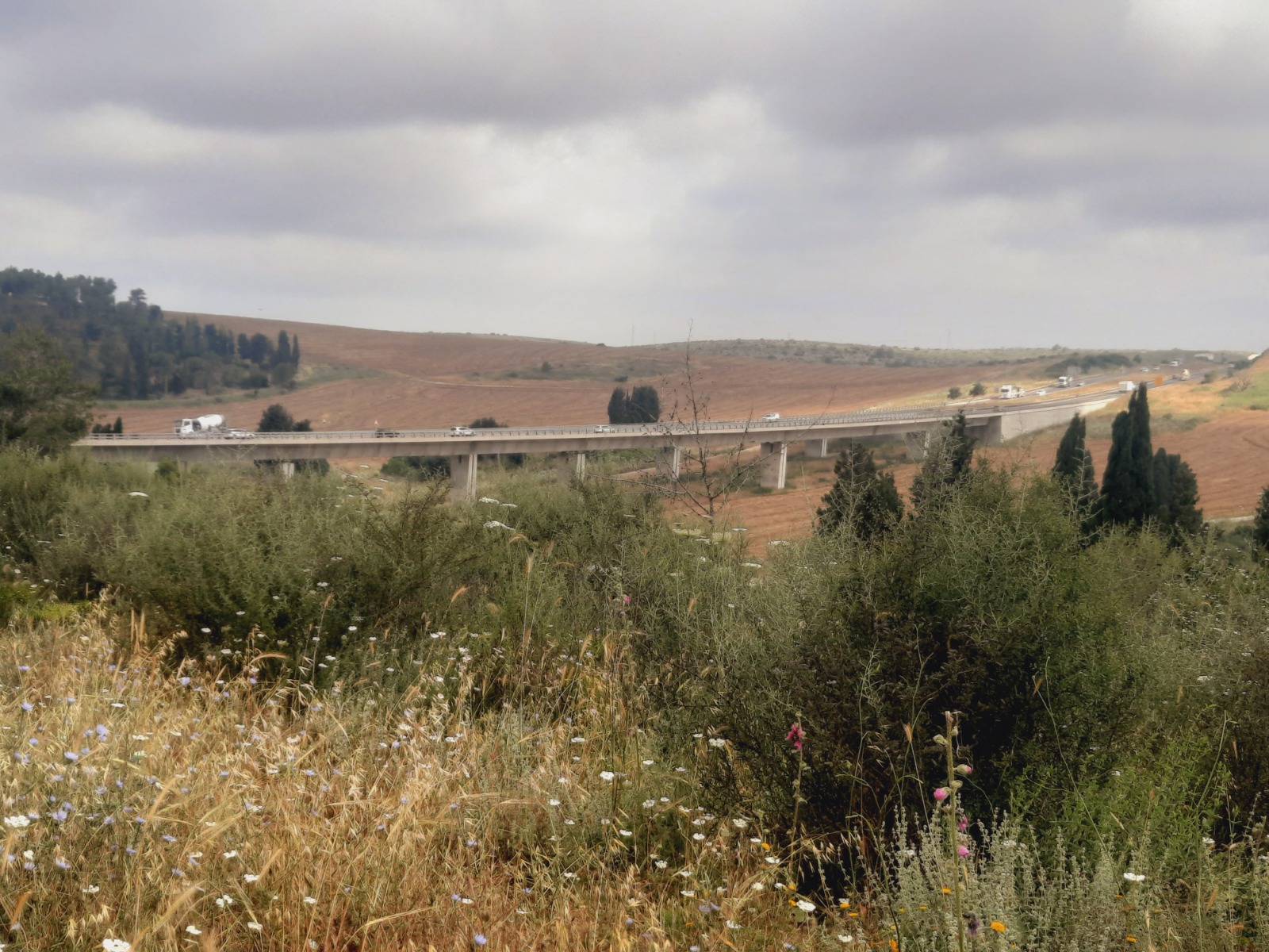
A few minutes later we were given a completely different perspective of Road 6.
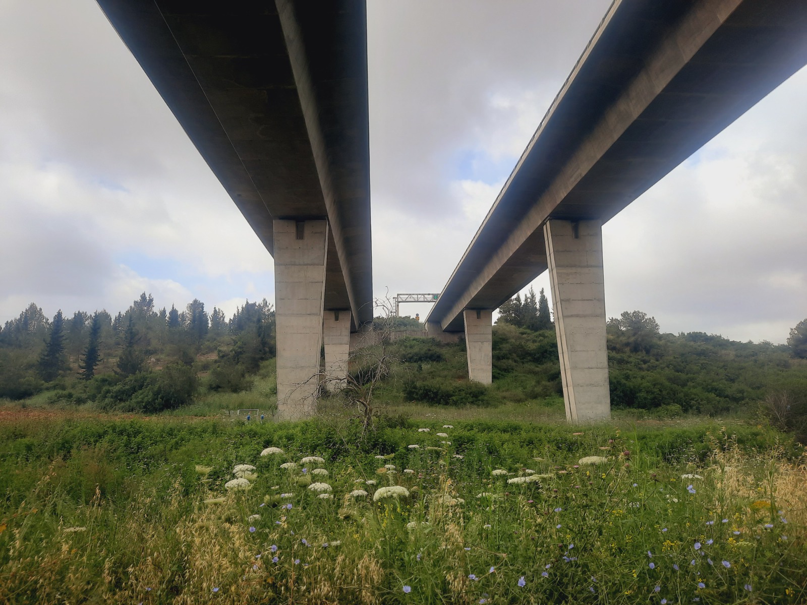
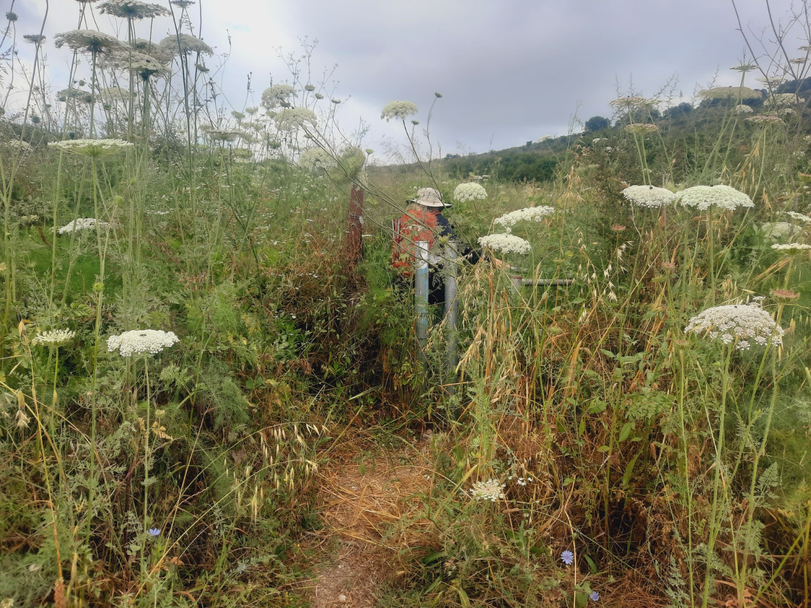
About 300 meters after passing under Road 6, there is a steep 570 meter ascent on the left that was extremely overgrown with weeds and brambles.
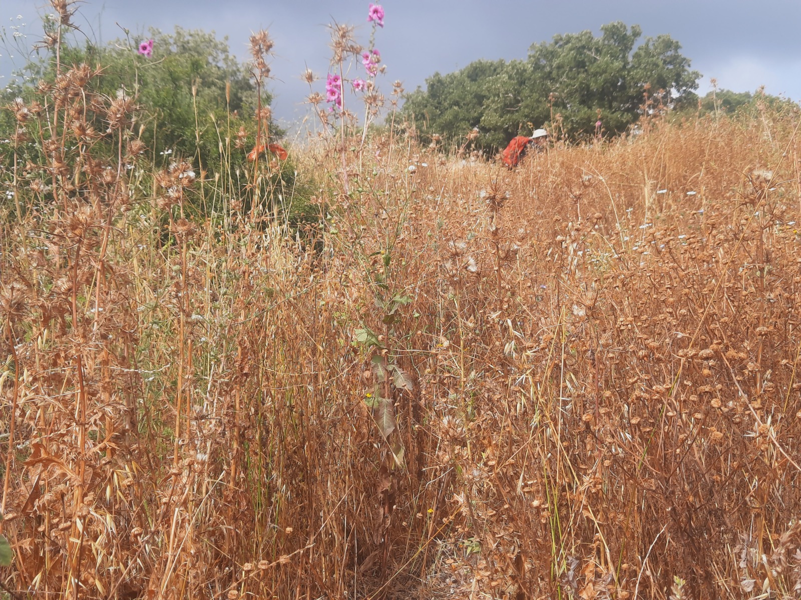
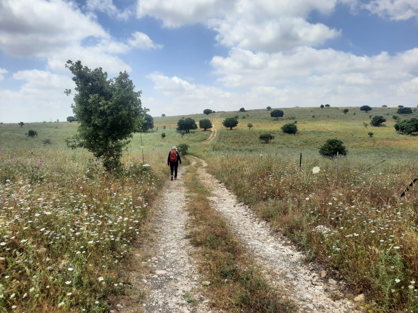
At the top we came out into the open and were rewarded with a panoramic view of the surrounding area. There is good air at the top and a very large tree. It is a good place to stop for a snack and a rest.
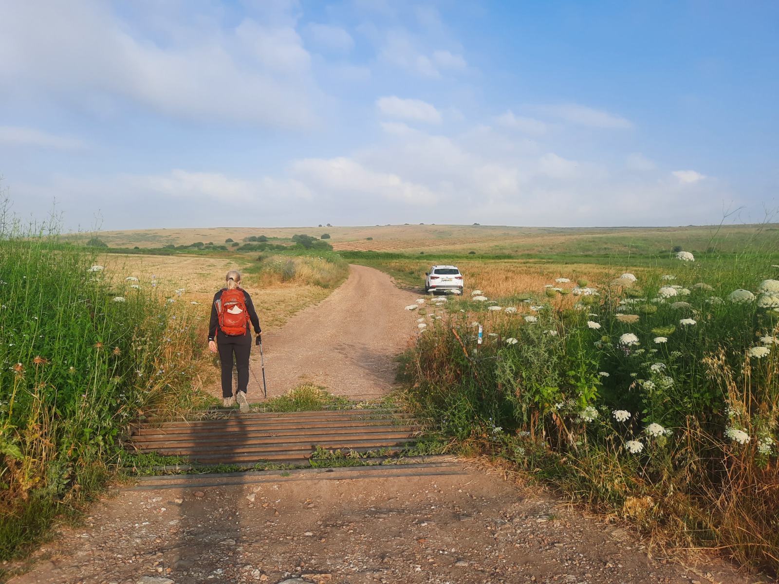
We came to a fork in the road. Haha!
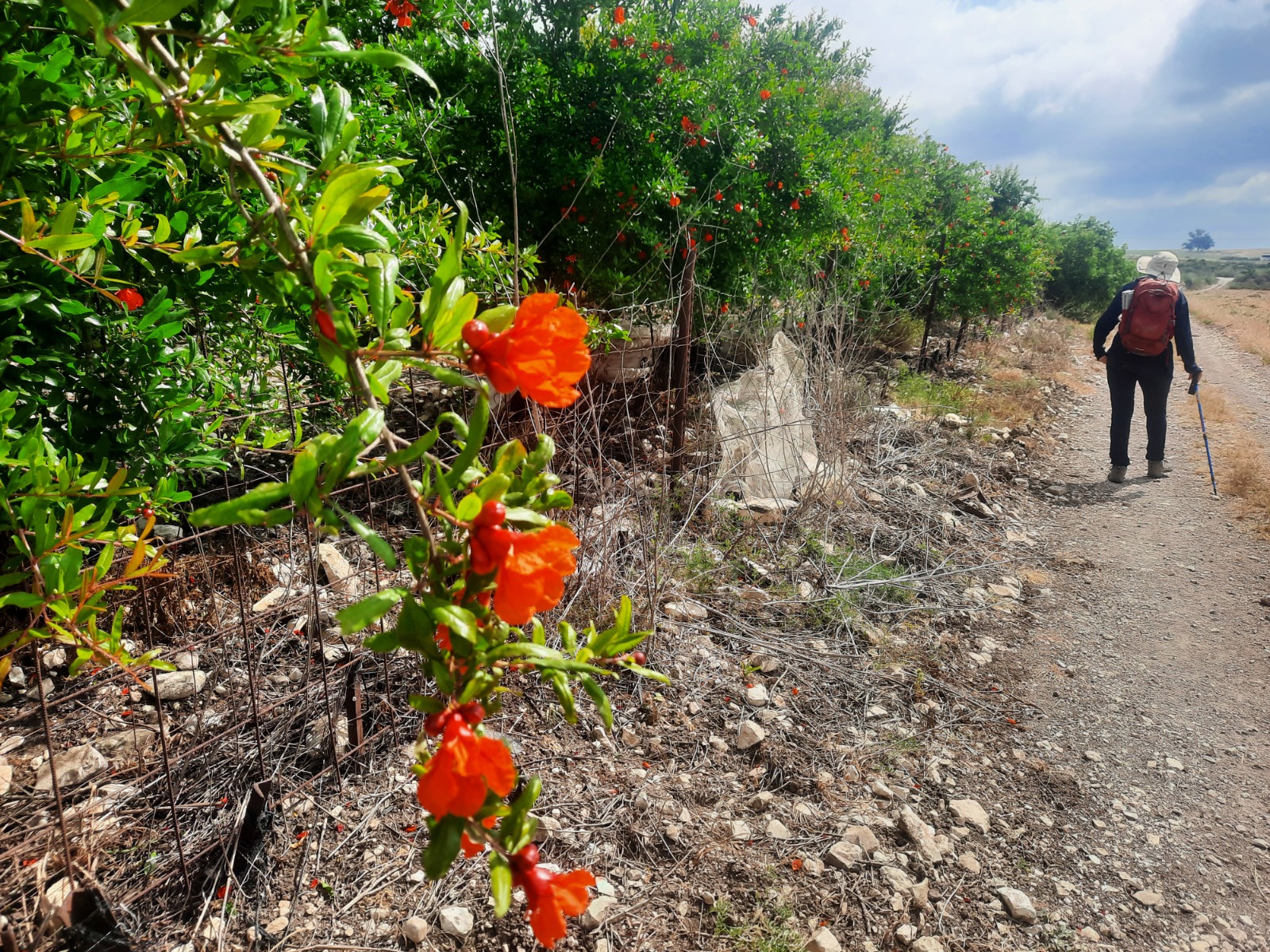
After descending down the other side of this hill and making a left, we passed a pomegranate orchard in bloom – a reminder that the Jewish New Year is not far off.
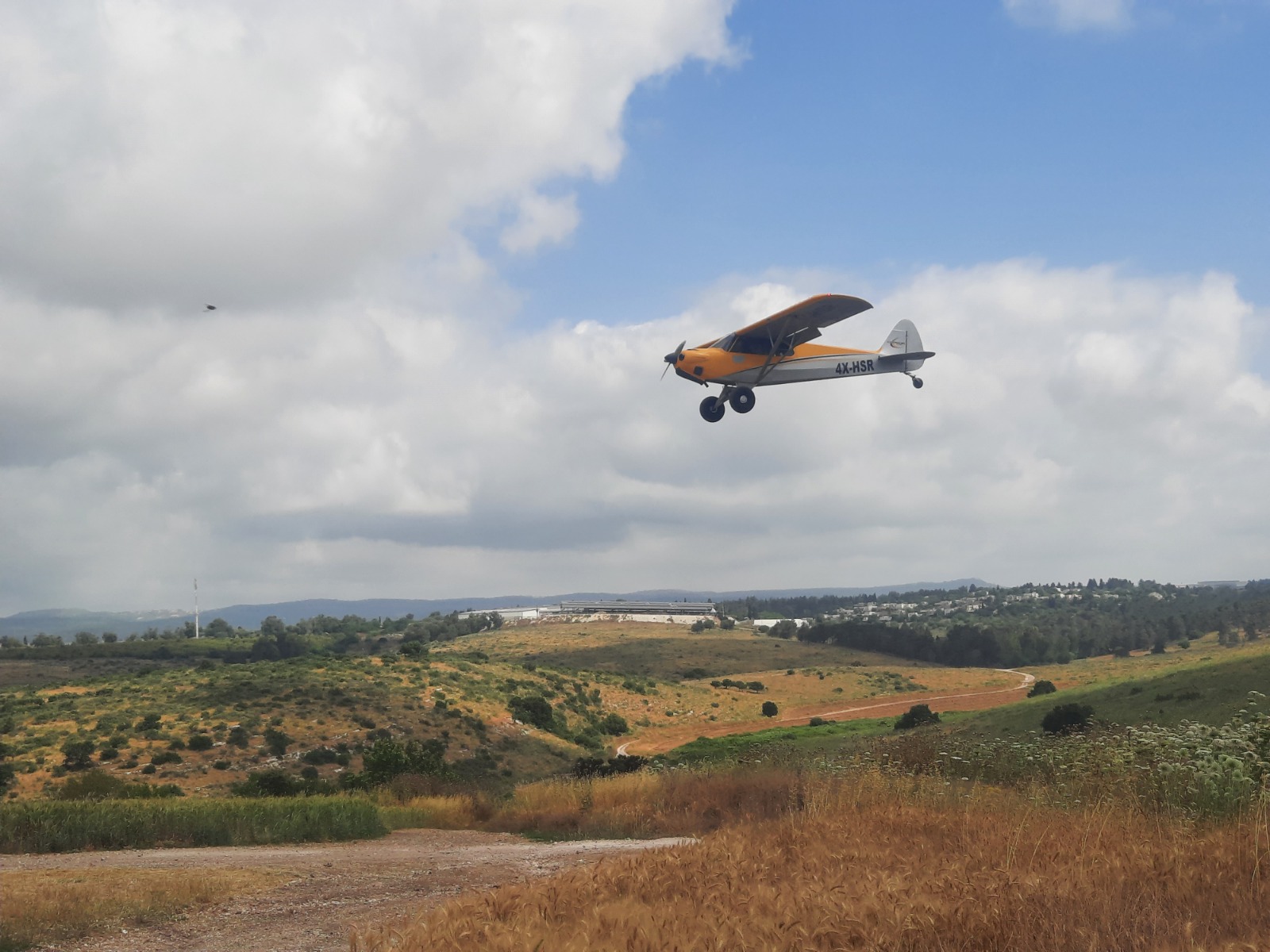
We had fun watching 3 student pilots circling low overhead as they practiced their landings and take offs on a teeny tiny dirt road in the middle of some rolling wheat fields. We had to skedaddle out of their way so as not to get skwooshed. They were so close we could almost reach up and touch them!
A shallow stream flows along certain parts of this trail. As tempting as it is, I don’t recommend stopping to get wet until you reach a small natural spring called Ein Nili at approximately 14.3 kms. It’s the best location for a refreshing “wet stop”. There is plenty of shade here too.
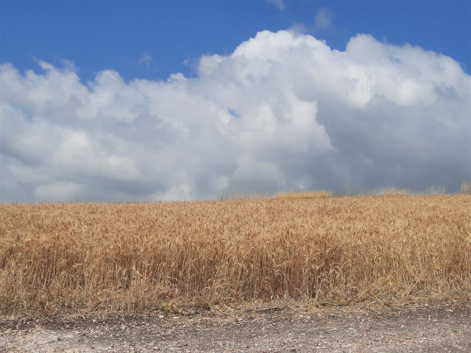
The last 5 kms provided more breathtaking views……
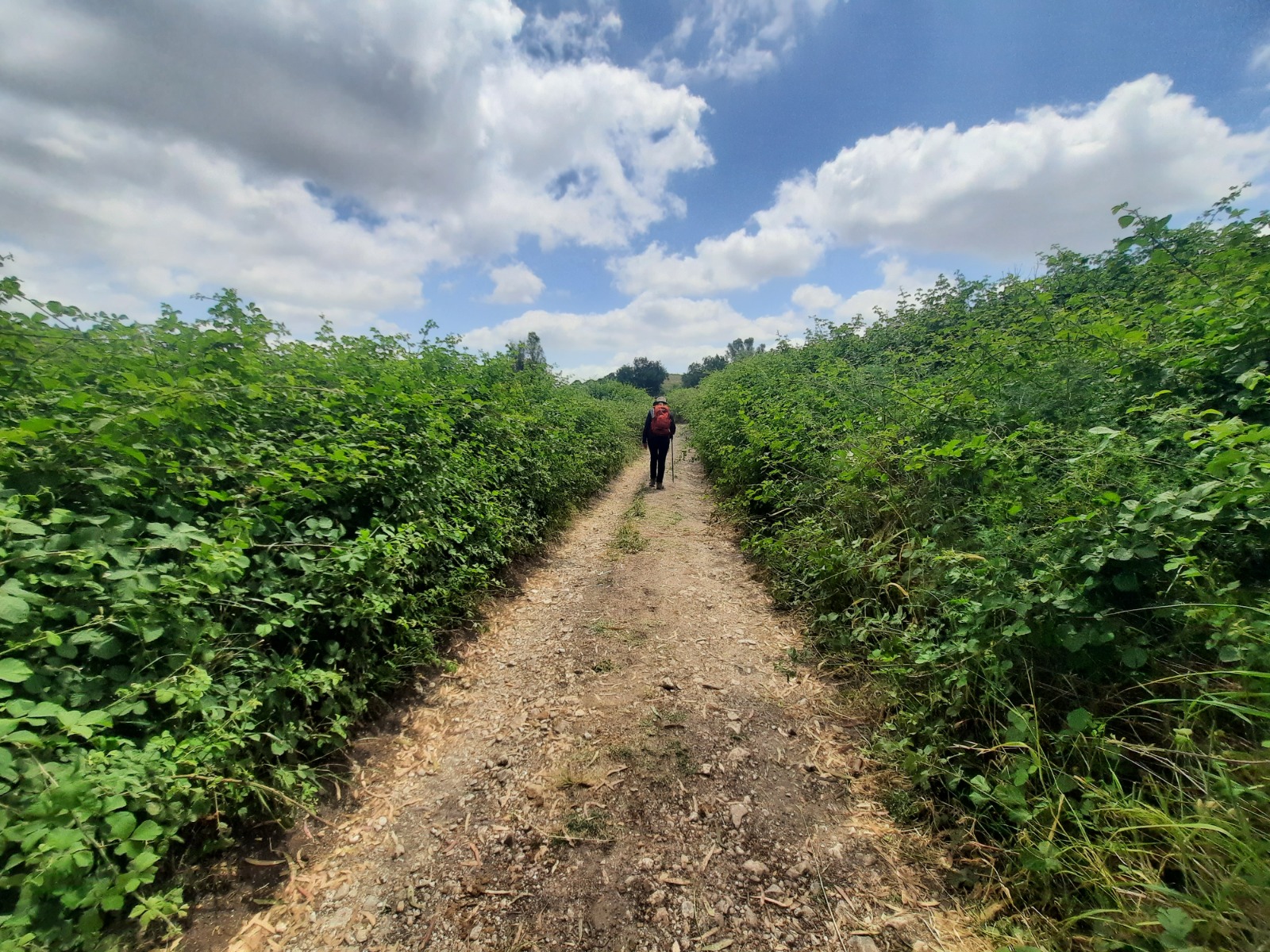
…..and banks of berry bushes.
Stay tuned for the next section of this trail!