
Route type: Circular
Difficulty level: Moderate
Waze to start/end point: 32.590197, 35.153222
Notes:
- Start early to beat the heat! The majority of this trail is not shaded.
- Best season: spring. Do not recommend doing this in the summer.
- We intended to do 18 kms A=>B however it was dangerously hot and humid so we cut it short and turned it into a circular route. This post describes how we did it.
- There are two points along the route where you can get wet so come prepared.
Having completed Section 1 and Section 2 of this trail, we very optimistically were aiming to complete the next ~18 kms. In June. In Israel. Mmhm. Yeah.
Our intended end point was at 32.597919, 35.132653 so we left one car there, then drove into Kibbutz Midrach Oz and left the 2nd car by the back gate which was our starting point.
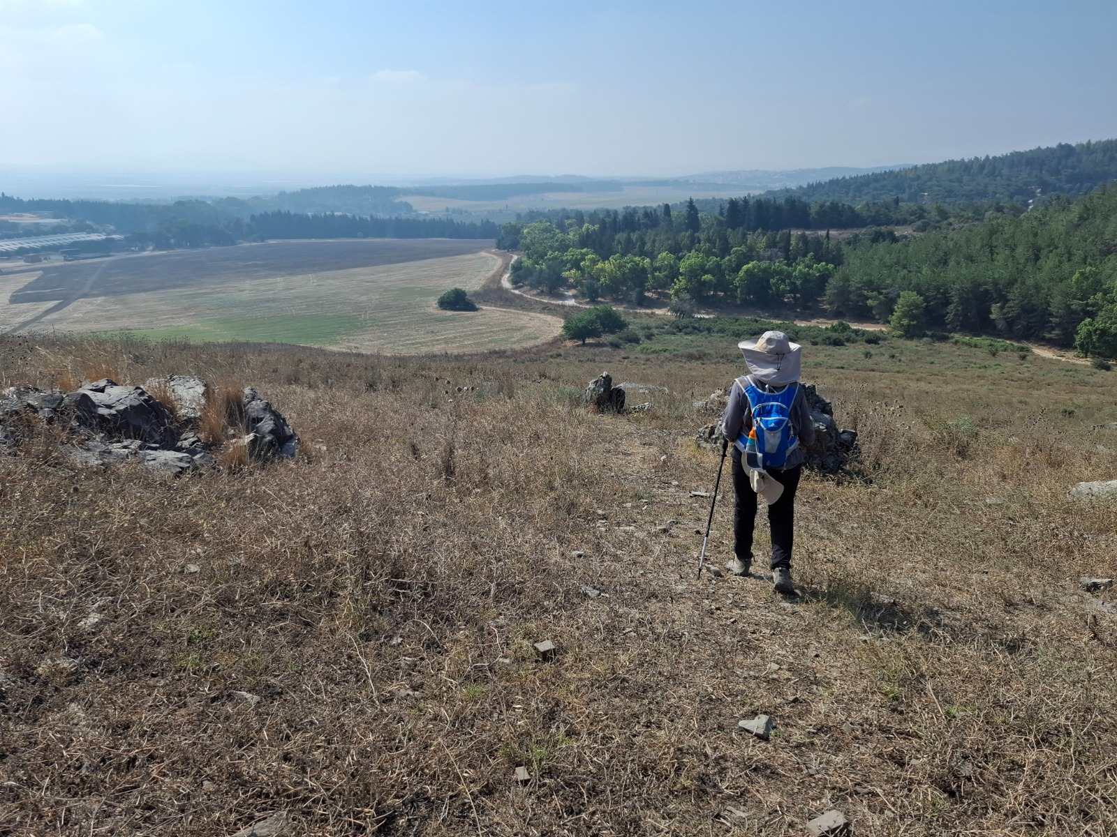
As soon as we got out of the car and began the ascent with which this section begins I was already thinking “uh-oh”. It was SO humid! HEAVY heat haze already hung over everything at 6:20 am.
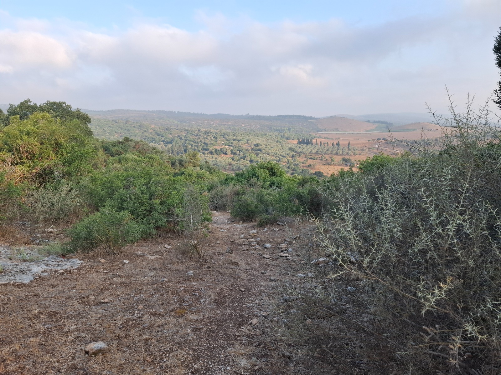
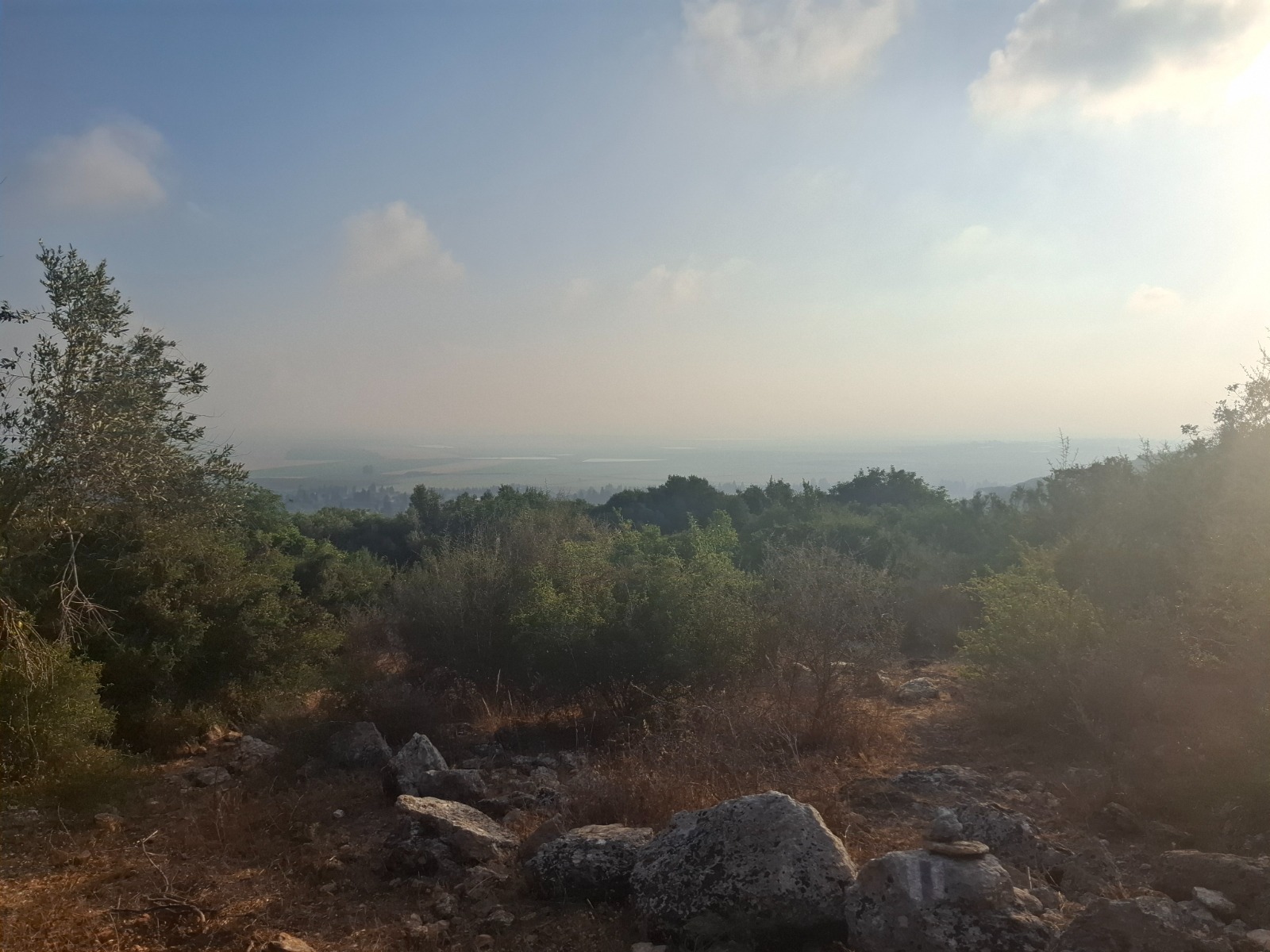
As we ascended, the views kept getting better and better.
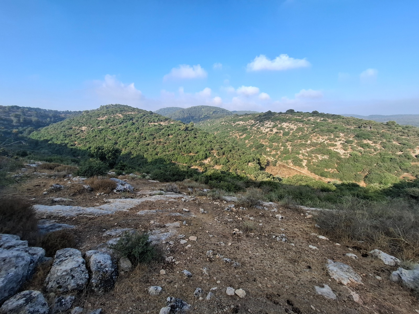
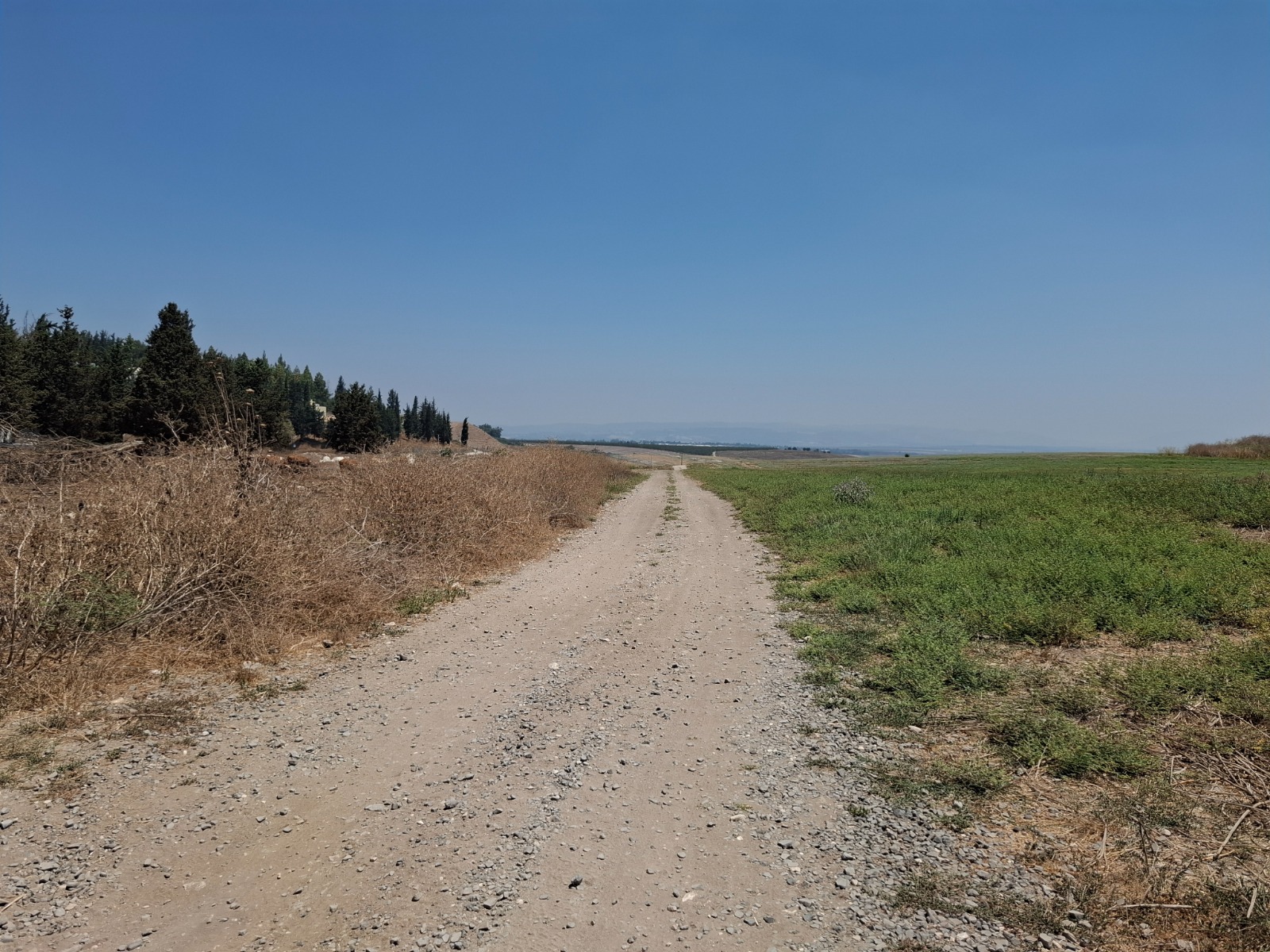
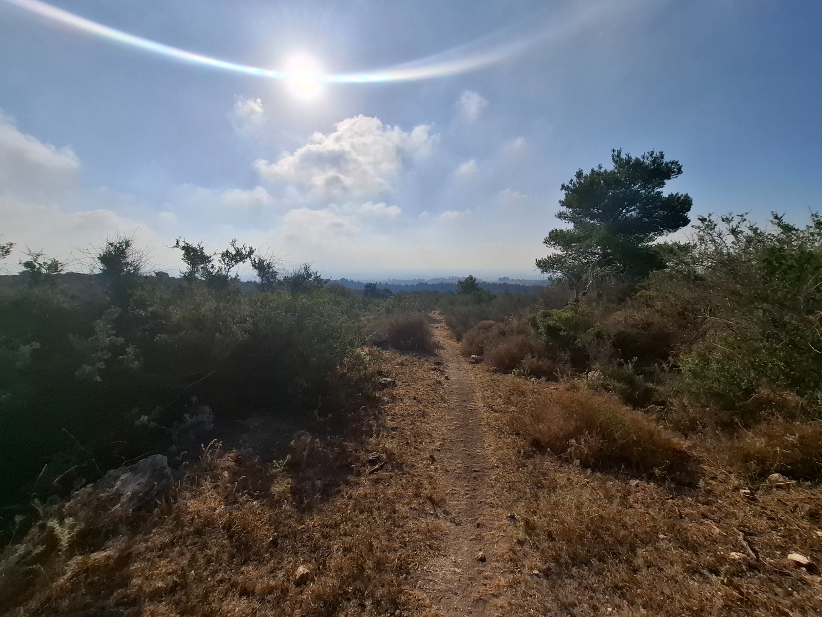
The majority of this section of Shvil Meggido was very exposed. The sun was beating down.
At this point we were placing bets whether we would have to climb that exposed cliff just ahead.
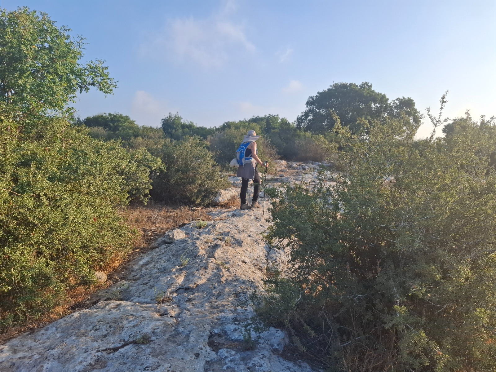
We didn’t need to climb THAT cliff but rather spent longer than we would have liked bushwhacking under the blazing sun to find the trail which was very poorly marked.

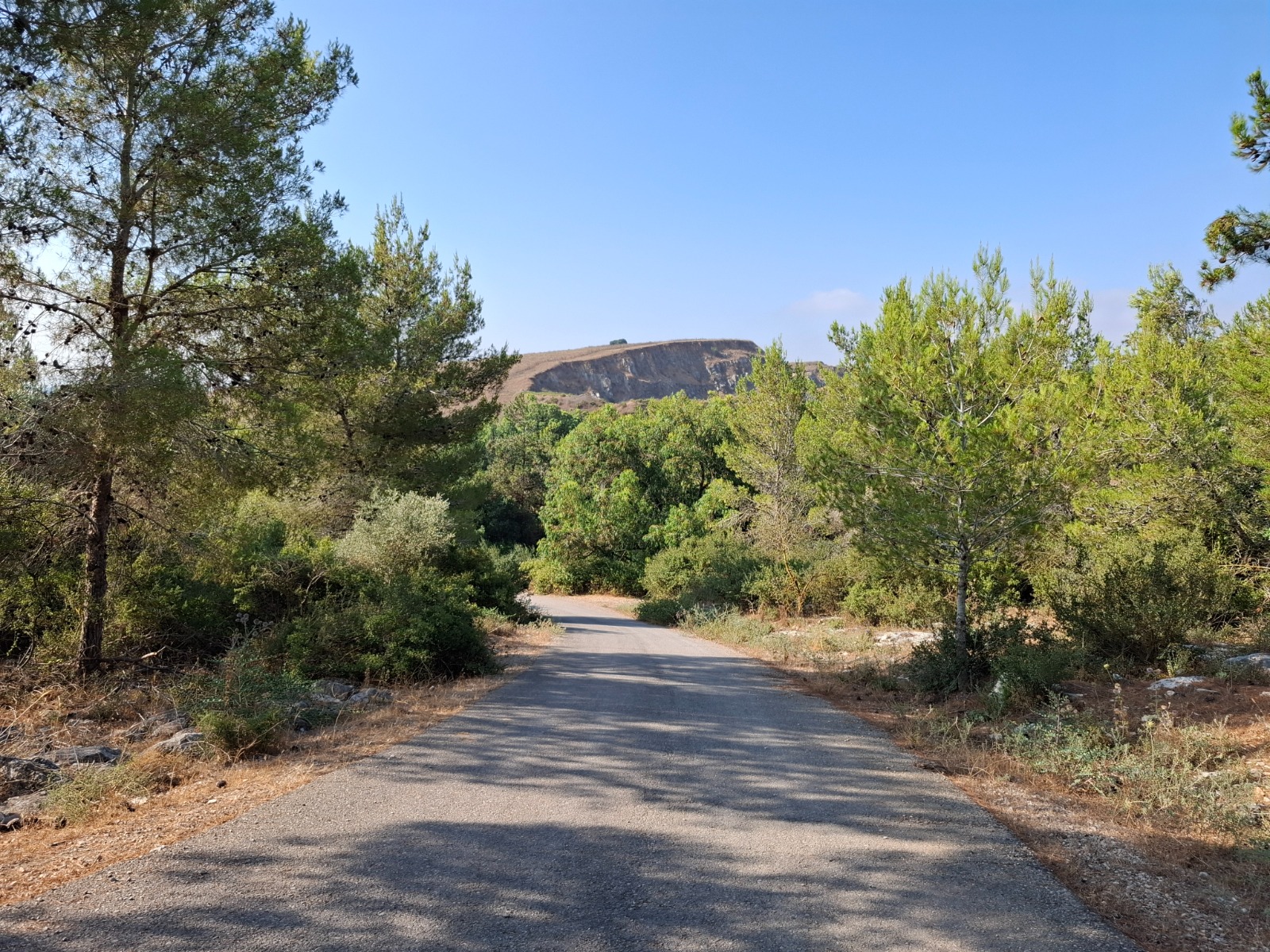
The poorly marked area starts at km 4.4. I relied on the israelhiking.org app to navigate this section. Once the trail was located, it took us to the top of Givat Yoshiyahu, an ascent of 50 meters. The heat made it seem much higher. Ahead of us in the haze we could see Kibbutz Meggido.
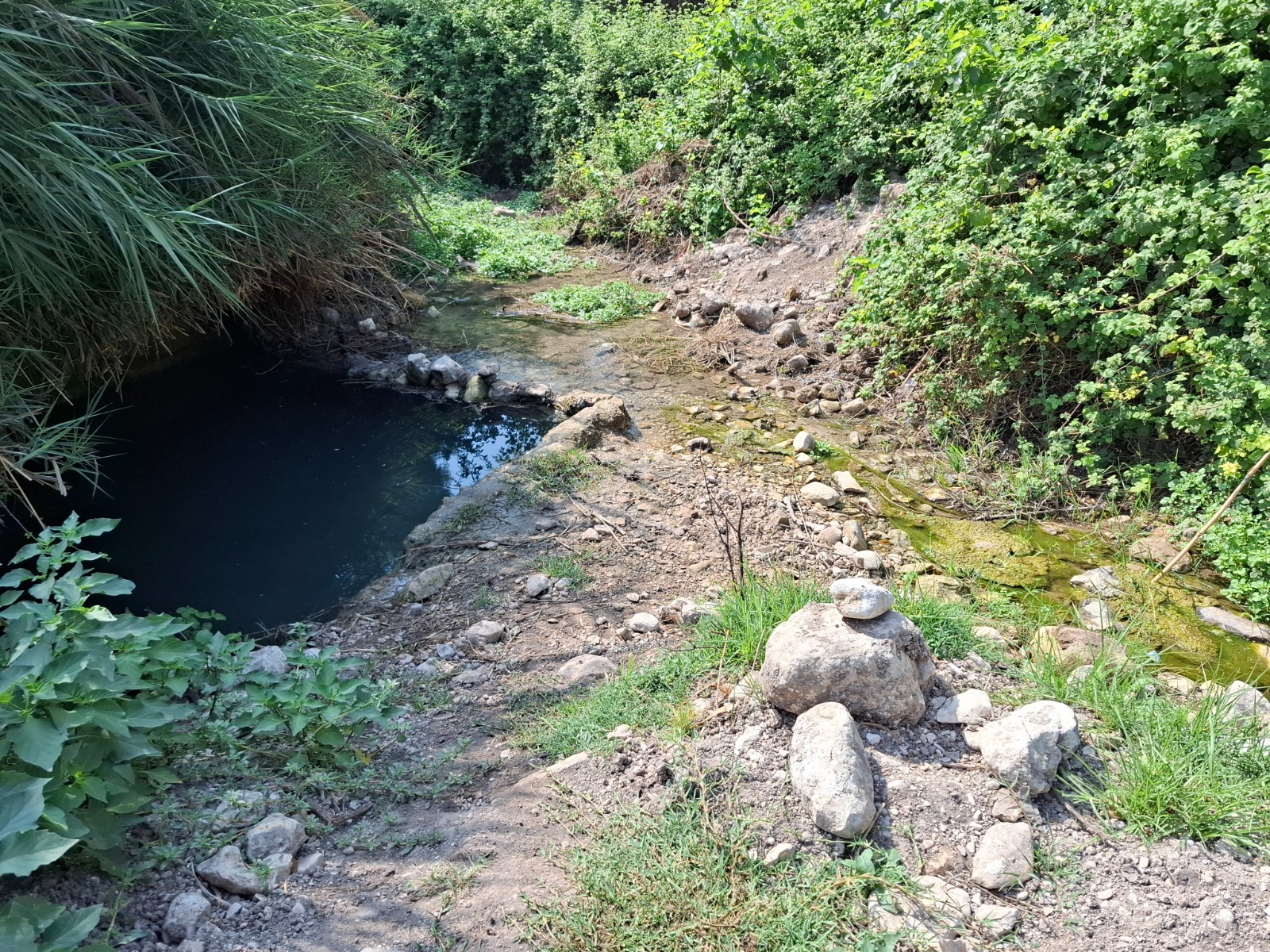
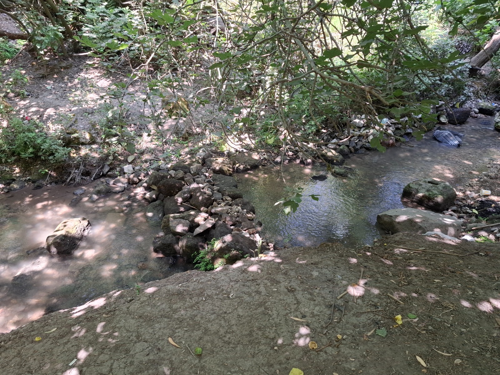
After descending down the far side of Givat Yoshayahu and joining the road, we were pleasantly surprised to find Nahal Keini and a natural spring on the right (km 6.1) called Einot Legio (עיינות לגיו). Legio refers to an early Roman legion stationed there.
Nahal Keini is mentioned in the stories of the Bible when Pharaoh conquers Tel Megiddo and later in the war over the water in Megiddo.
The spring is on the right just a couple of meters off trail and not signposted so keep your eyes open for it. It’s small but an opportunity for a dunk if you are so inclined.
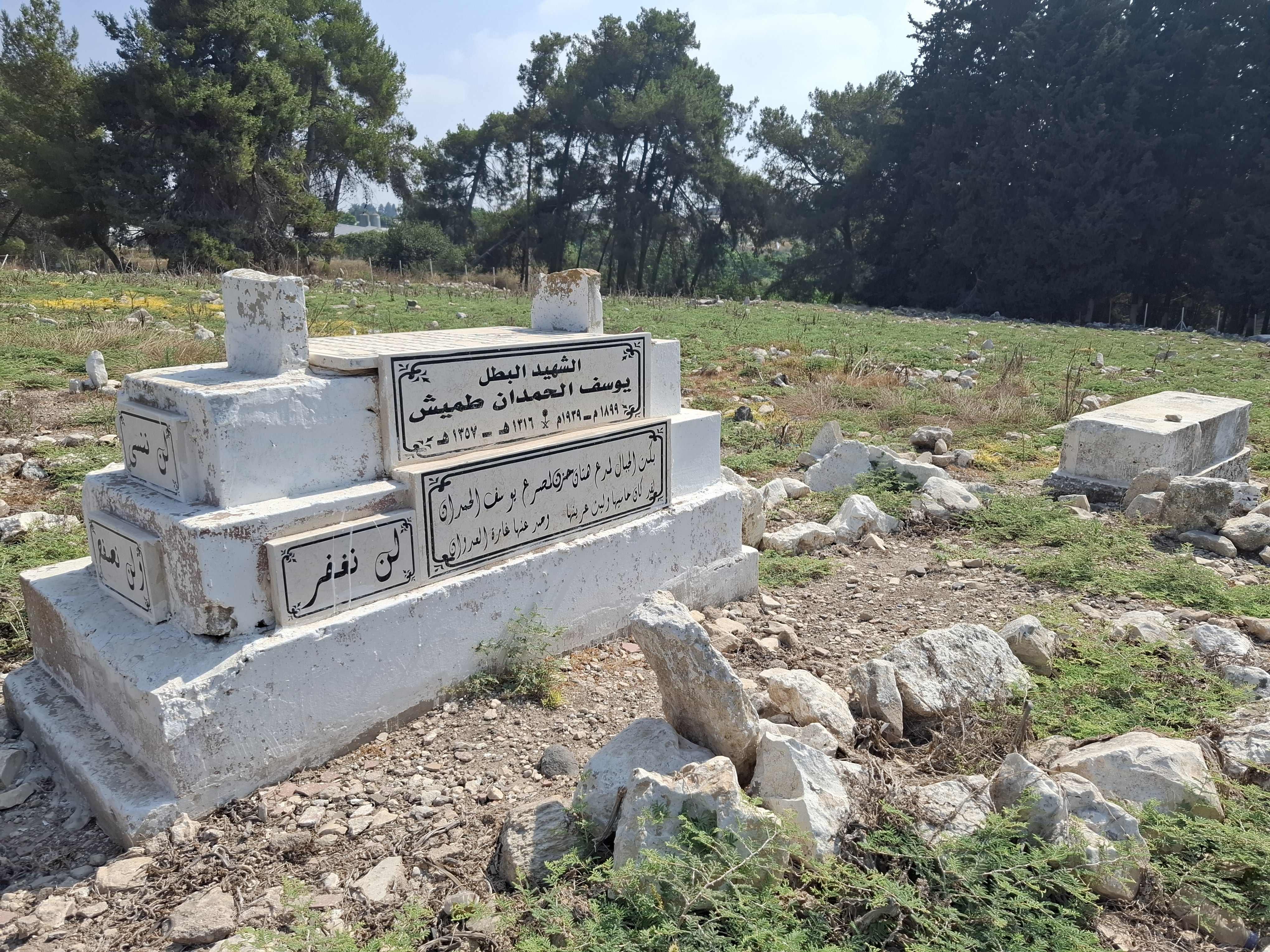
At km 6.5, you will turn right just after a small Moslem cemetery.
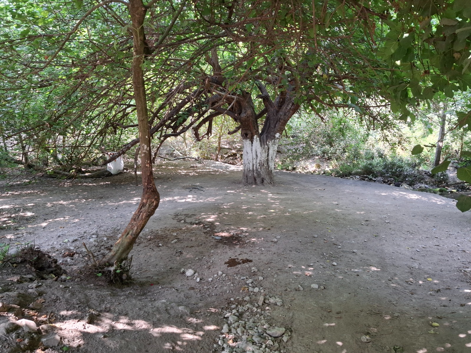
Staying with the purple trail markings, you will follow the back fence of Kibbutz Meggido which will be on your left. At km 6.9 the trail dives into a shady wonderland next to Nahal Keini. This is a wonderful spot to take off your shoes and sit in the shallow pools and break out some snacks. (The litter in this area wasn’t the worst we’ve seen but it was still pretty bad. Please take your garbage out with you + 5 pieces of someone else’s garbage!)
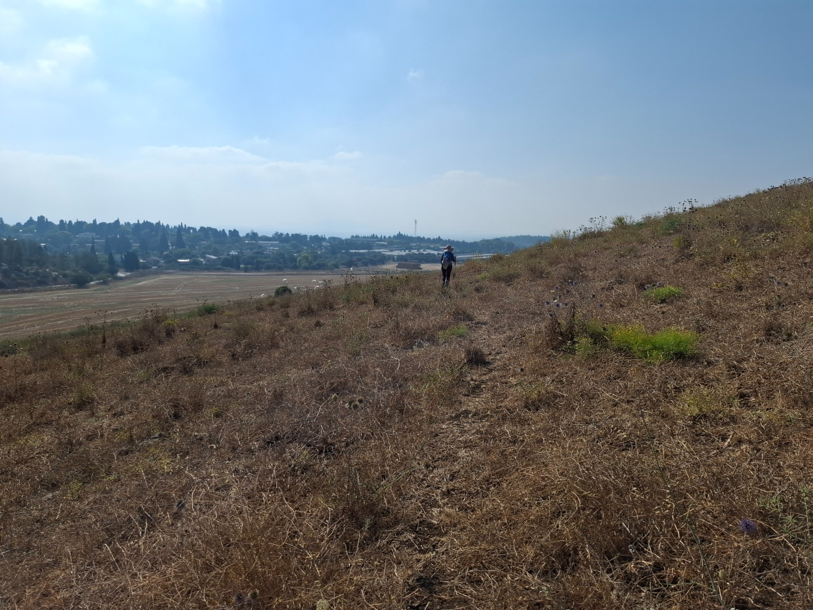
The trail meets road 66 at km 8.5 and makes a left after which it then proceeds to climb up and around the back side of Tel Meggido – this National Park is worth a visit if you are already in the area! – and then once more meets Road 66. If I were to hike this section again, it is here at km 10.2 that I would leave our end point car.
It was too hot to continue walking back to the car we’d left in Kibbutz Midrach Oz (start point) so we hitched a ride to it and then drove to pick up the other car at what we had optimistically hoped would be our 18 km end point.
Some things aren’t meant to be…..We will put this trail on hold until the spring.
Stay tuned for Section 4!