Route type: Circular
Difficulty level: Moderate
Waze to start/end point: 30.843253, 34.779887
Notes:
- Start early to beat the heat!
- Rated moderate because the first ascent which takes 20-30 mins is challenging and if you want to go down to Akev Spring there is a short descent with handholds. The rest is pretty easy.
- Swimming optional.
The Ramot Menashe area being still too wet after recent rains for hiking, we decided to head south.
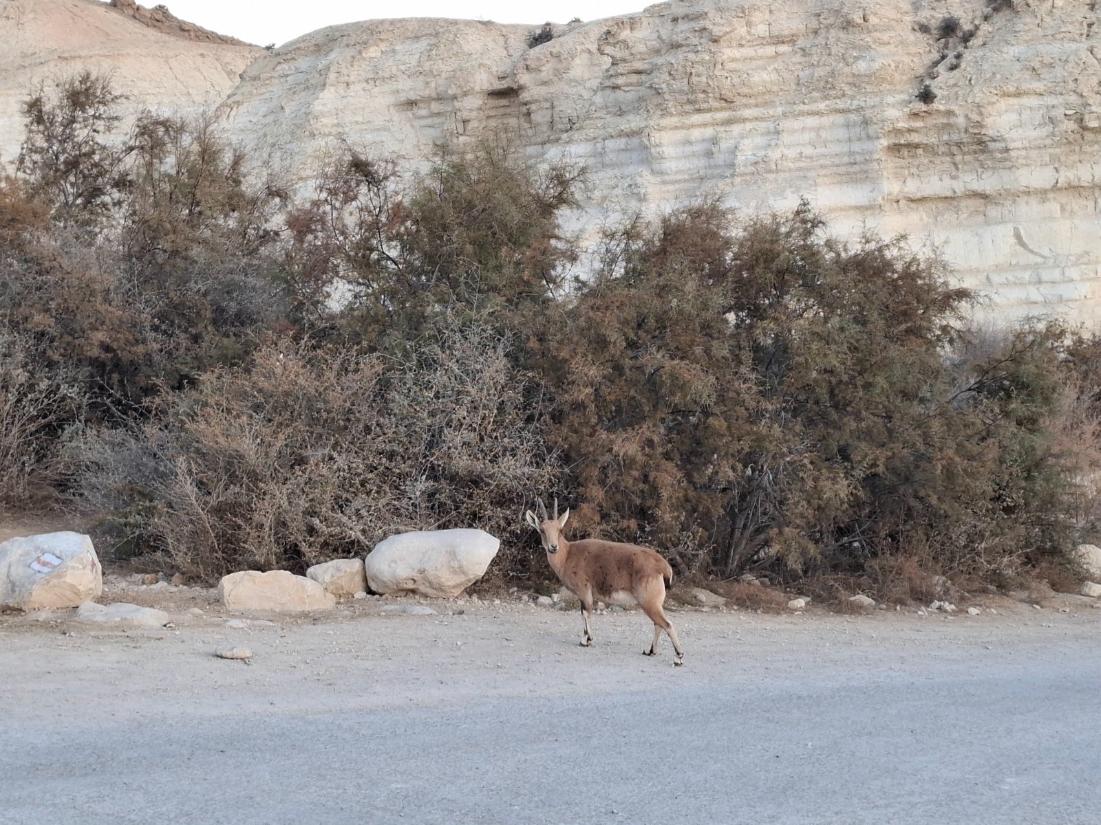
We parked just before 7:00 a.m. at the Serpentina Campground at the bottom of the hill under Midreshet Ben Gurion and right off the bat saw our first ibex which are as common as street cats in the south.
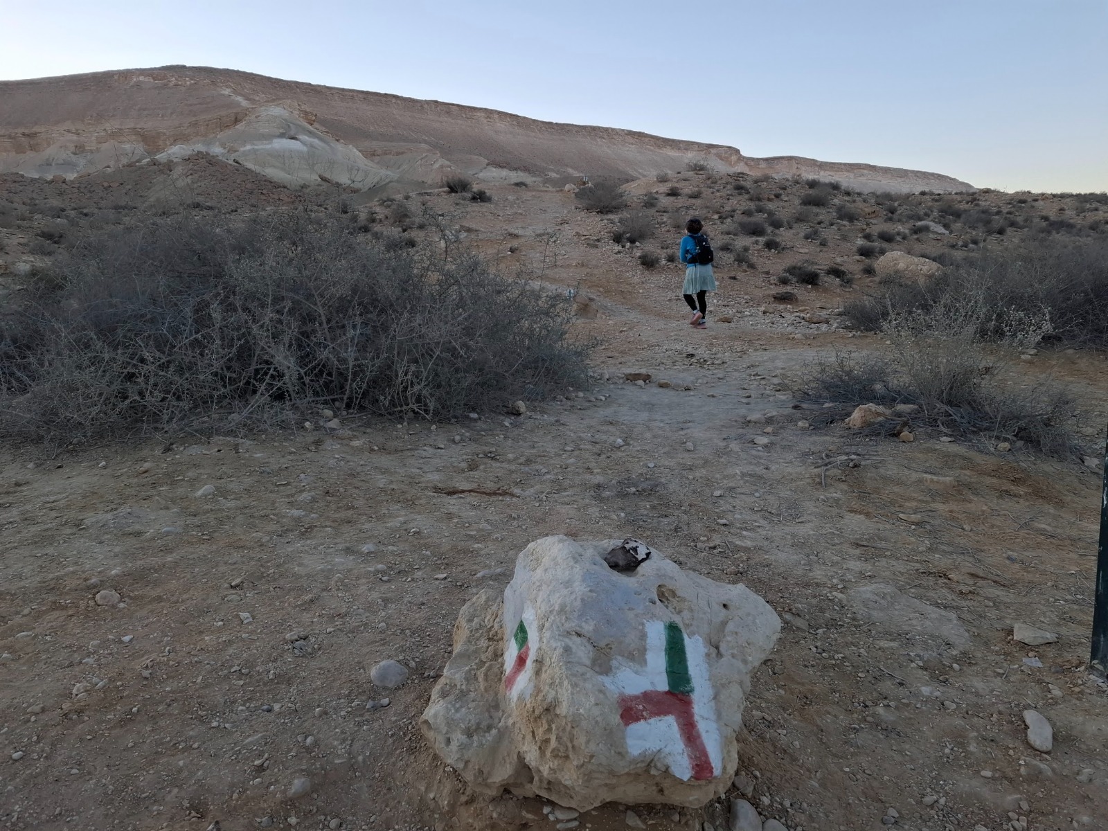
When we got out of the car there was a frigid desert breeze that had us hopping to keep warm. This quickly changed as we started up the most challenging ascent of this loop trail. I recommend doing this trail in a counter clockwise direction so you complete the ascent during the coolest time of the day.

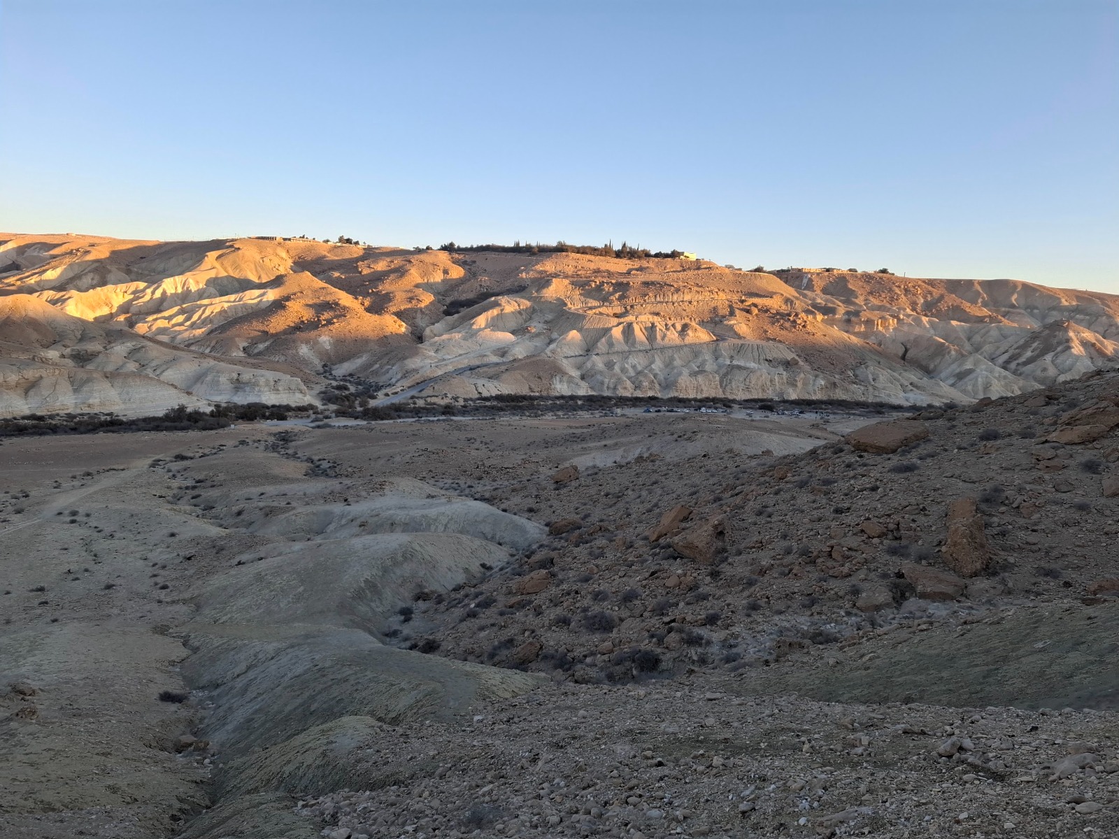
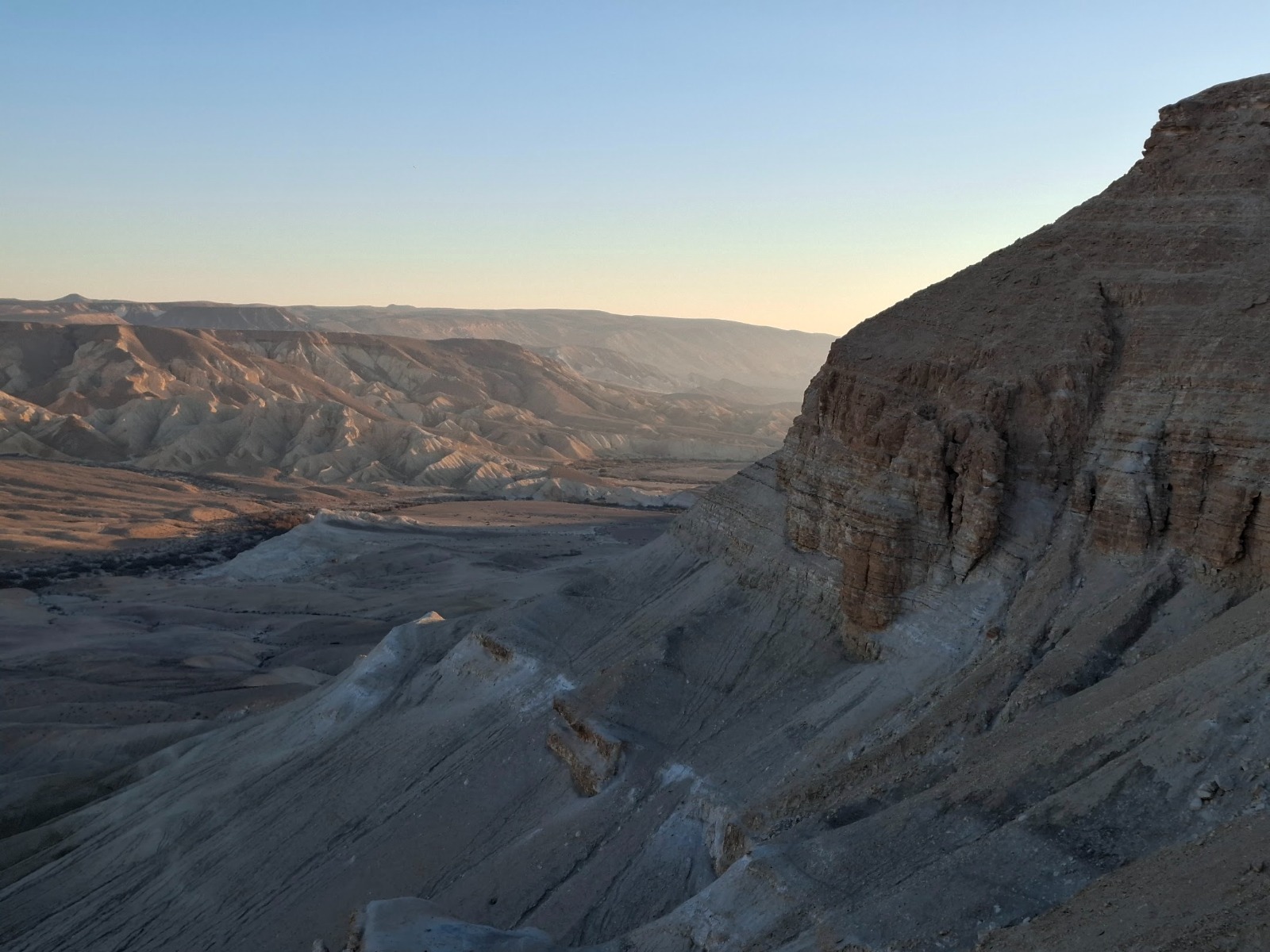
Half way up I stopped to catch my breath and to look back at how far we’d come. I could see the campground where we’d parked our car. The sun was starting to warm up Midreshet Ben Gurion at the top of the opposite hill.
Midreshet Ben Gurion is a community settlement and an educational center located next to kibbutz Sde Boker.
The Jacob Blaustein Institutes for Desert Research, affiliated with Ben-Gurion University of the Negev, the Ben Gurion Heritage Institute, and a high school (with a boarding school) emphasizing environmental studies, are now located here.
Pictures NEVER do these landscapes justice. Never. But I had to try.

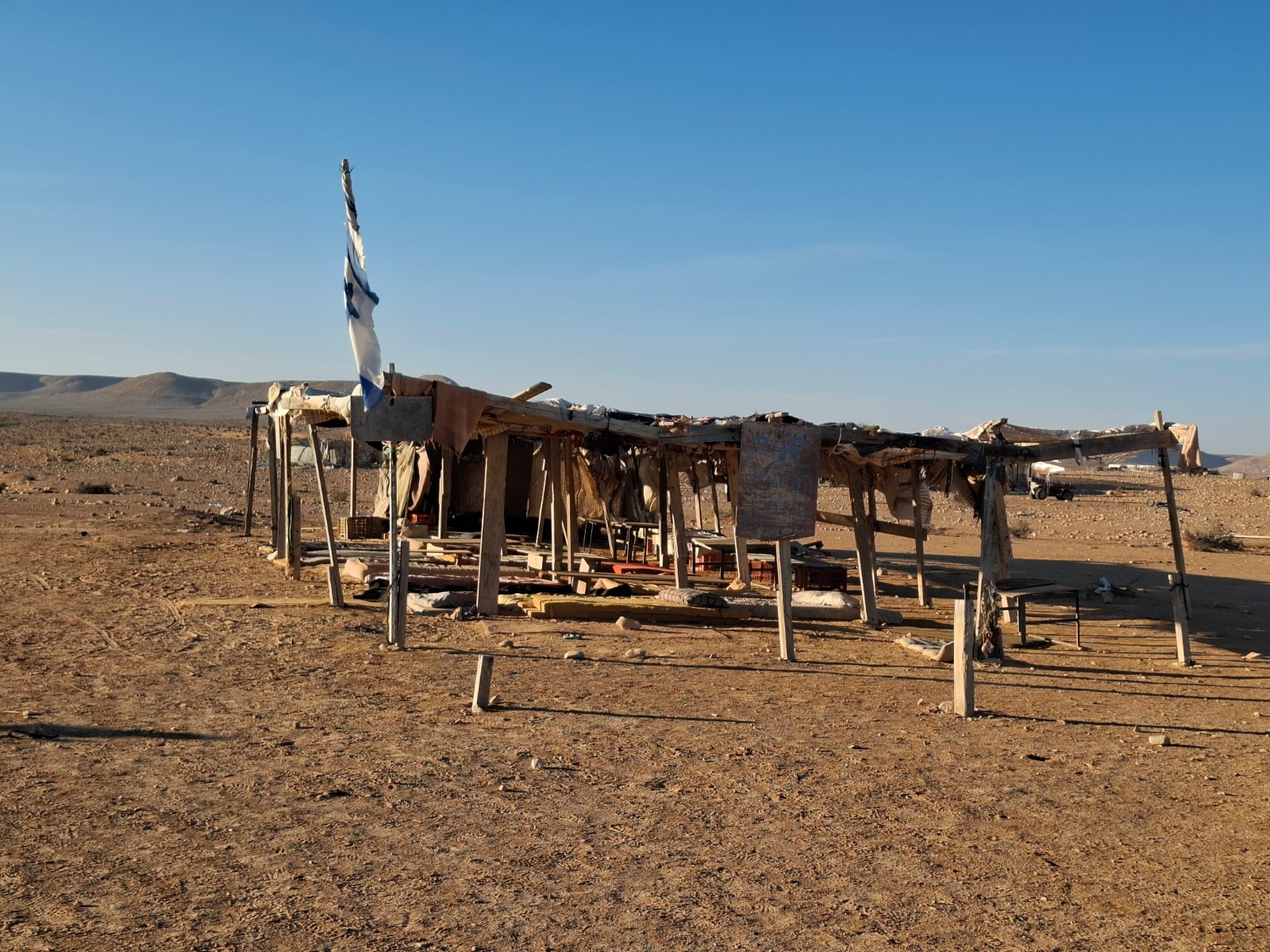
The terrain leveled out after reaching the summit and in a couple minutes we came upon this rest area with mattresses on the ground over which something intended to provide shade had been erected.
In researching this trail, I had read that Bedouins lived nearby and provided basic wayside services to hikers and….sure enough. A sign said that if anyone needed food or water they were welcome to knock on the family’s/person’s door. At this early hour, there was no one about yet.
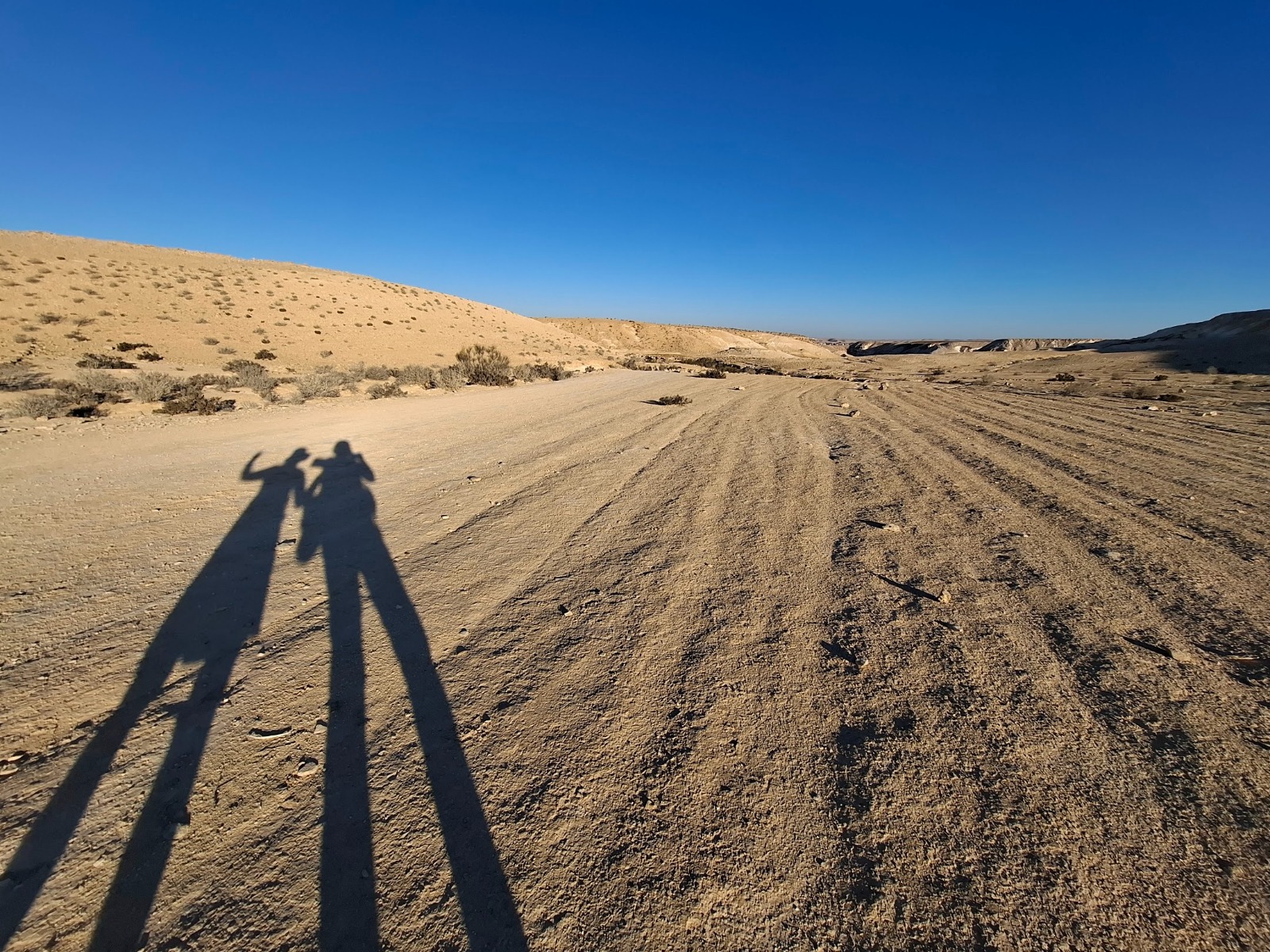
Shadows.
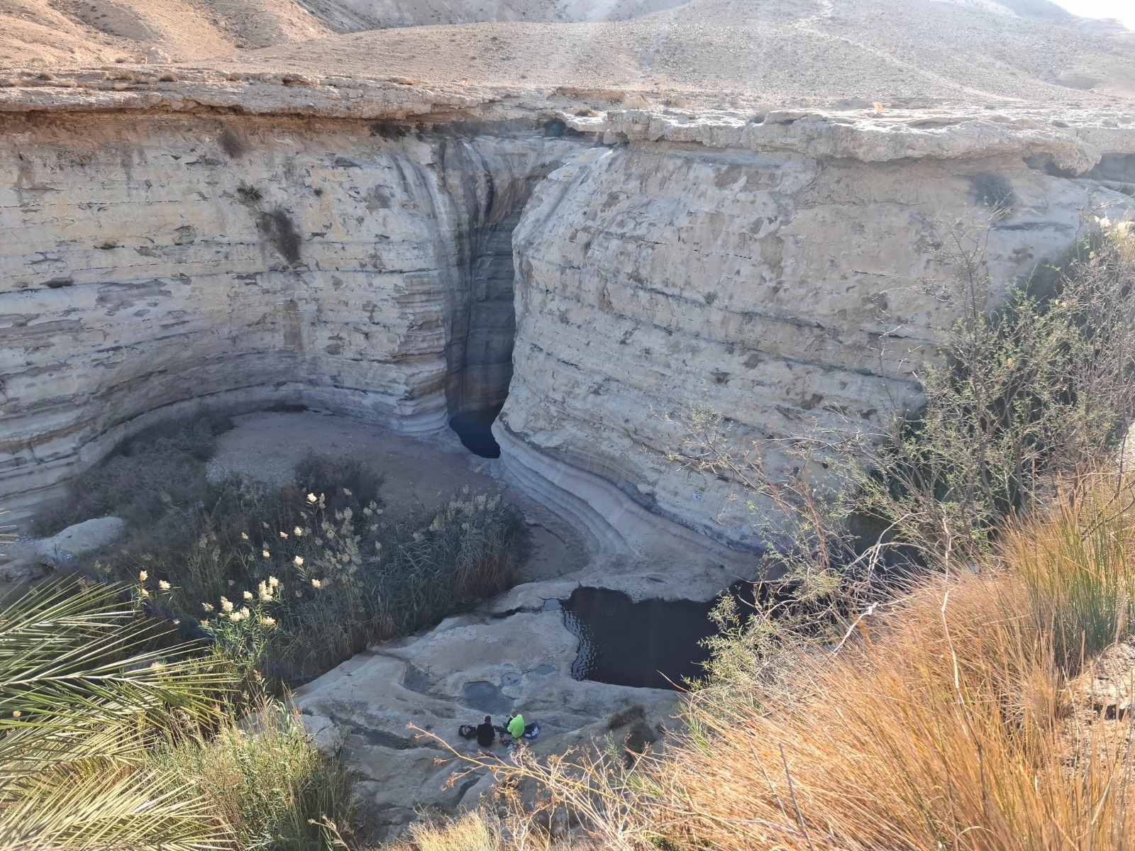
There having been no recent rain here lately, unlike in the rest of the country, the Horseshoe Waterfall was dry but still impressive. We stood at the “lip” of the waterfall and imagined the roar of torrential rains gushing over. That’s a LONG way down!
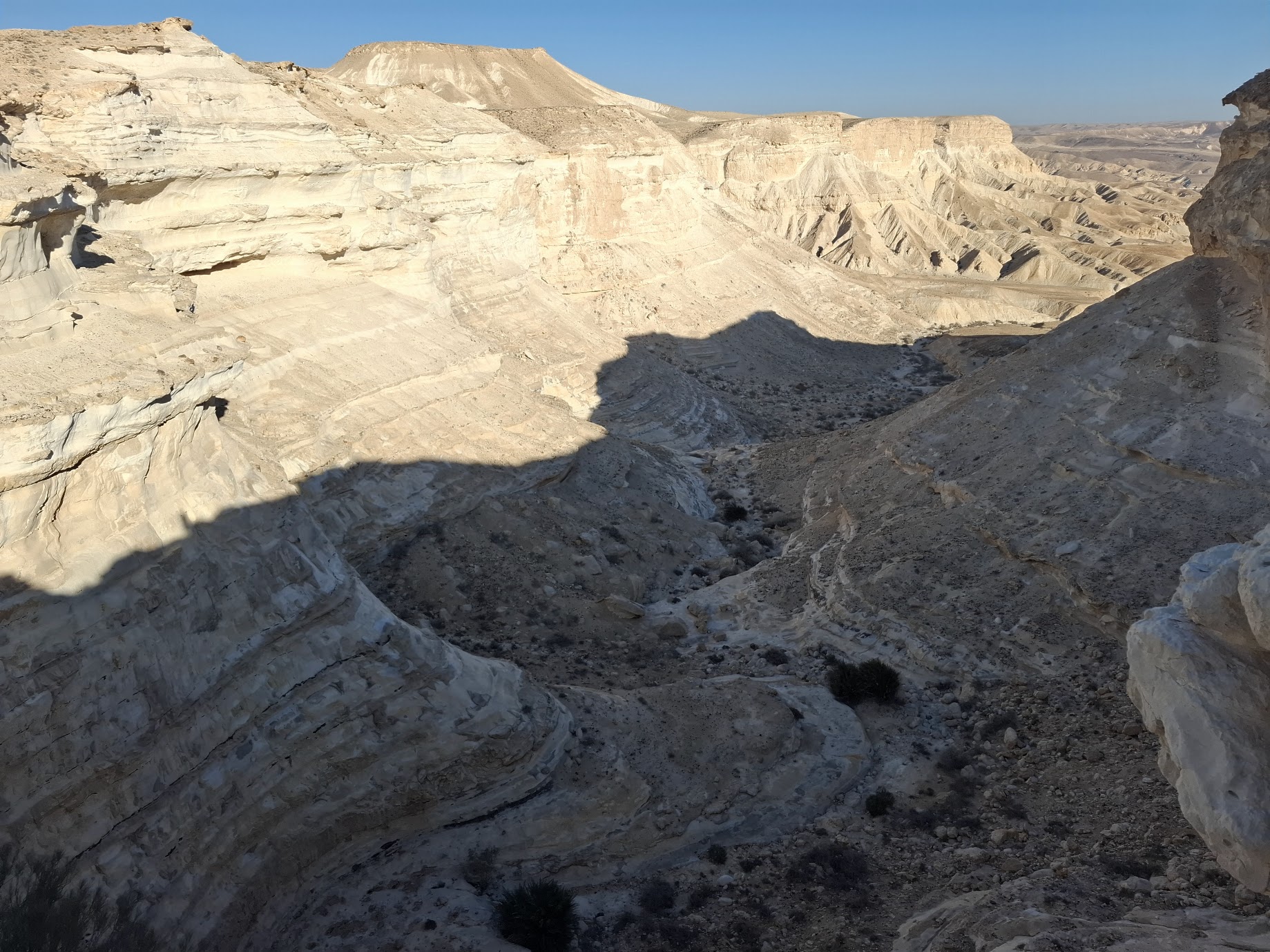
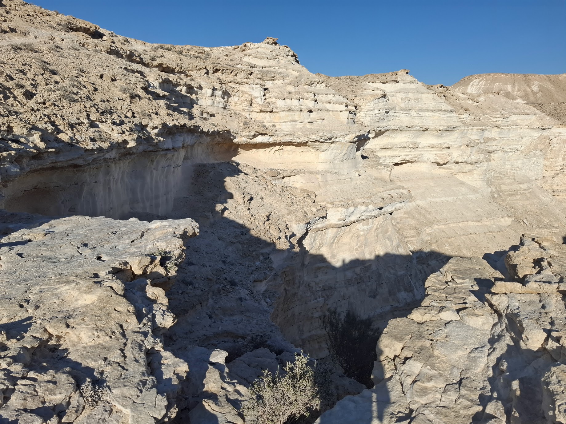
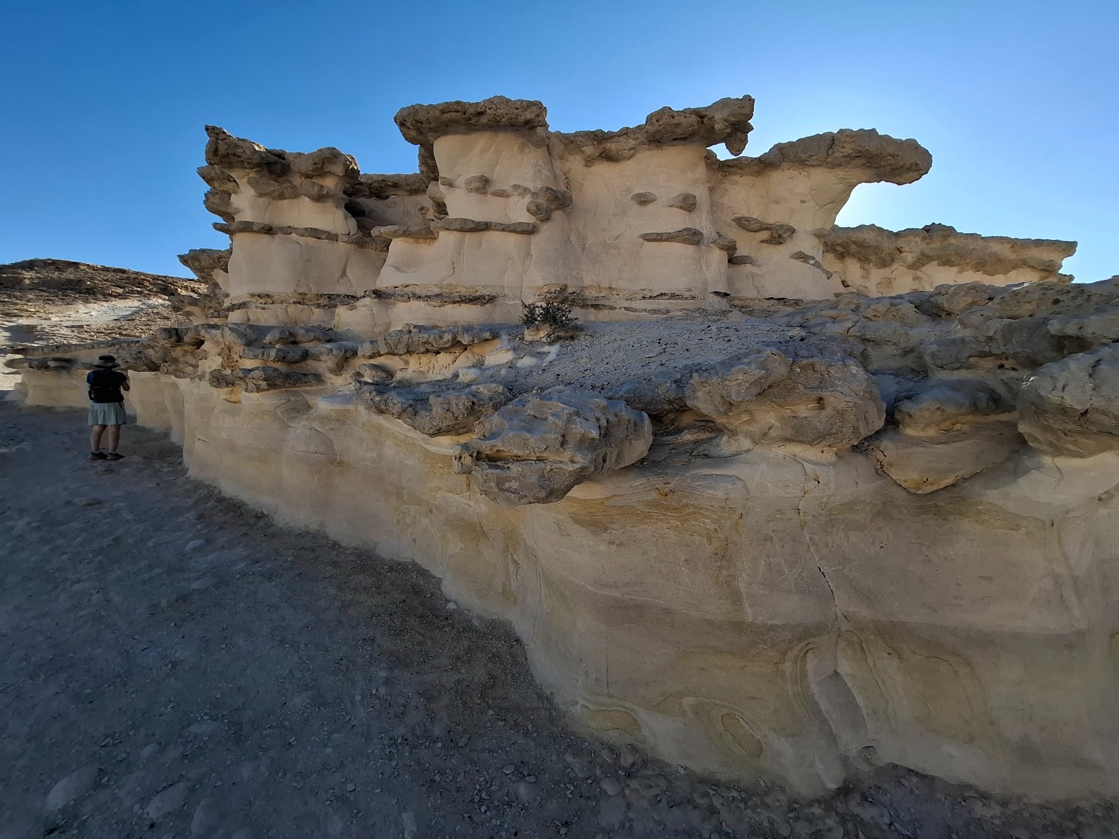
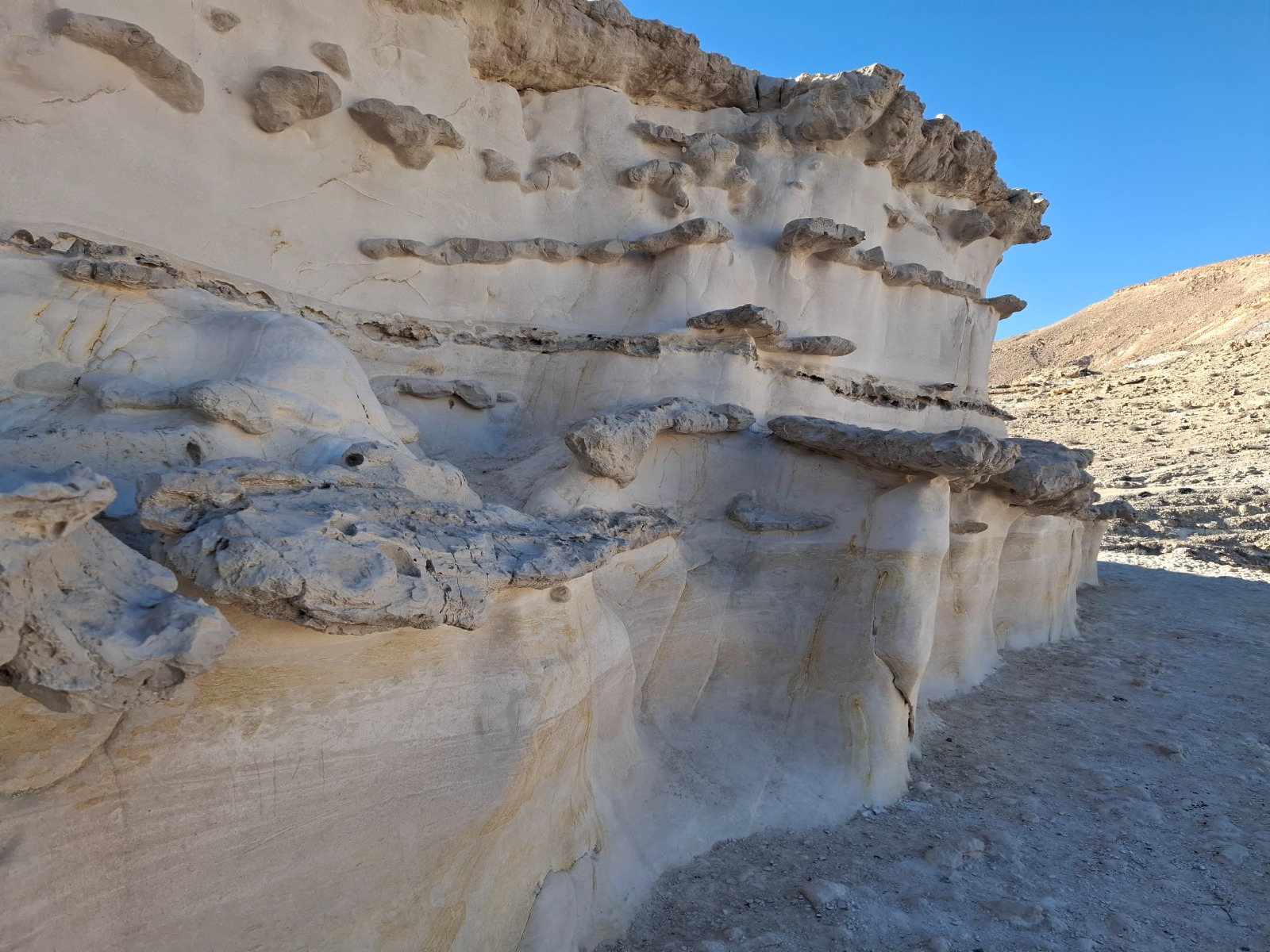
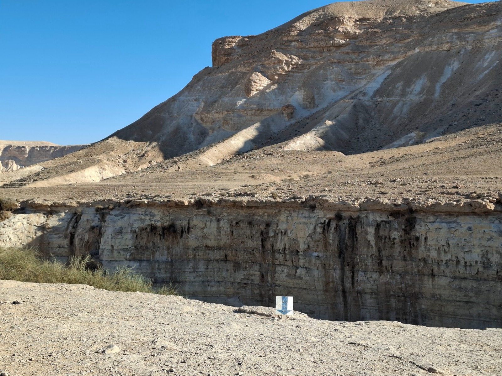
Making our way carefully around the “U”-shaped edge of the waterfall, we rounded a bend in the trail to discover some very interesting geological formations – layers of soft sandstone worn smooth by water layered with some other very hard stone which I couldn’t identify.
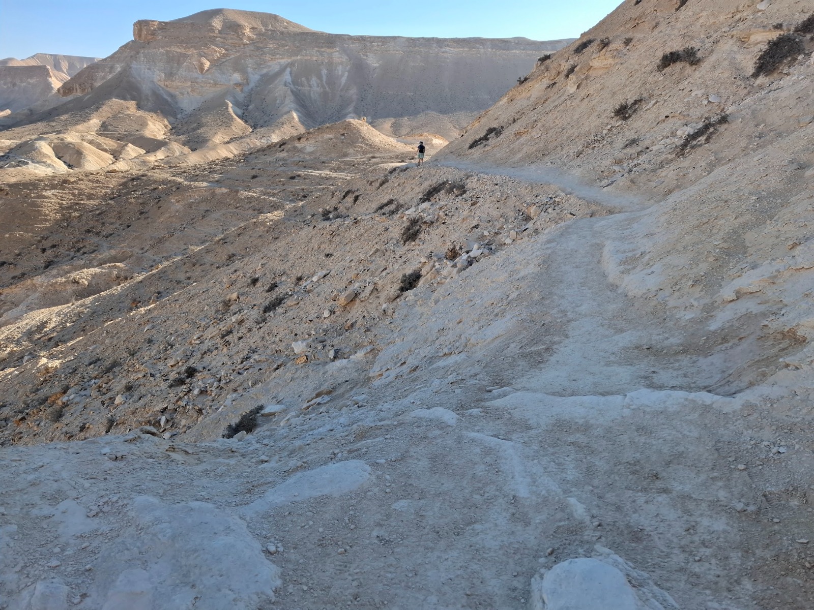
From here began a gentle descent in the direction of Nahal Akev (Akev Stream) and the Ein Akev (Akev Spring).
A view of the spring from above.
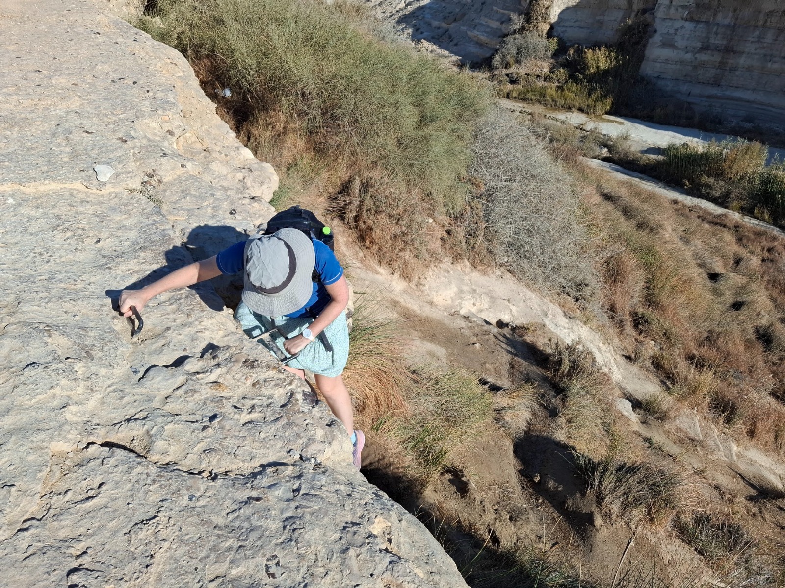
Down? Down WHERE…exactly?
Ooooo handholds! My favorite!
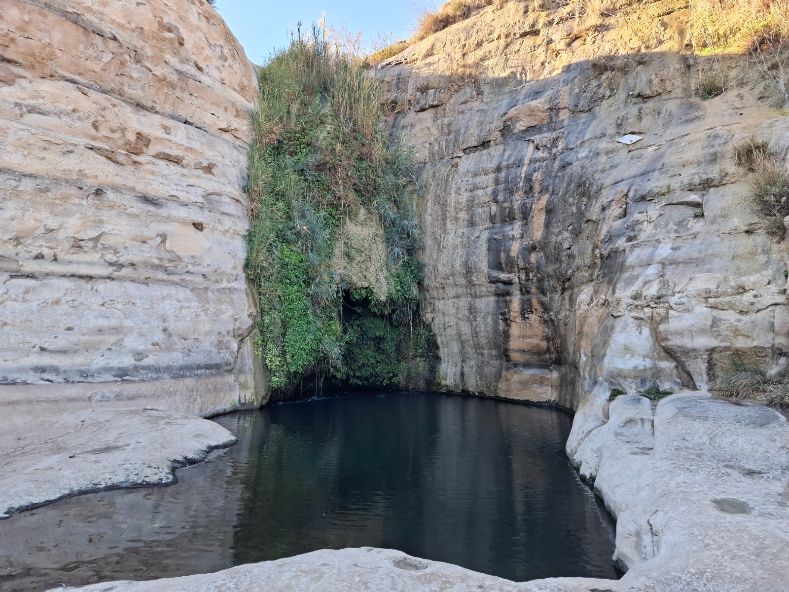
I had encountered Akev Spring before when I hiked the Israel National Trail.
Ein Akev is a spring feeding a waterfall of about 10 meters high, that flows into a pool about 7 meters deep and about 10 meters in diameter. The pool holds water all year round (a very rare phenomenon in this dry desert area) and is a hugely popular swimming spot for families during the hot weather.
Looking downstream away from Ein Akev.

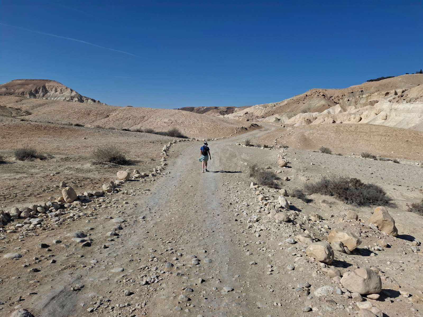
The last 4 kms were on a wide 4×4 dirt road. It was an easy stroll back to the end point and our car.